Gnat Pass: Exploring BC Rail’s Northern Extension
The plan for Day 53 of the trip – Wednesday, June 15th – was fairly vague. We’d simply leave our beautiful campsite at Meziadin Lake Provincial Park and just drive north on the Stewart-Cassiar until I didn’t feel like going any further.
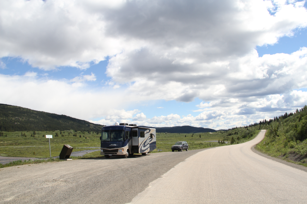
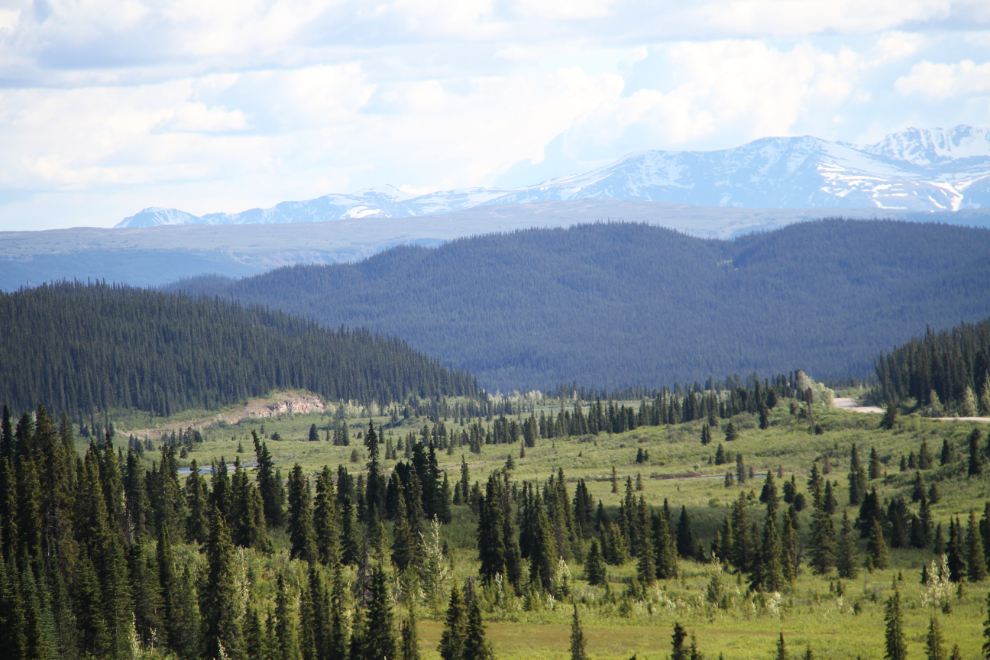
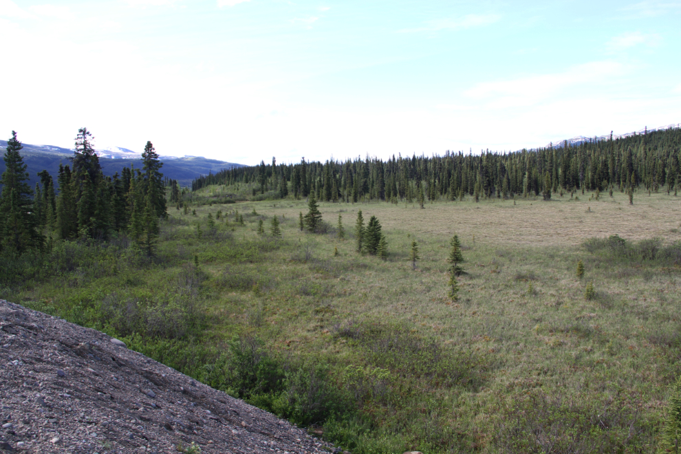
We ended up going 309 km (192 mi) to Lower Gnat Lake, where we parked to over night in a small pullout with a great view. Click here to open an interactive version of the map in a new window.
At 07:30, the day wasn’t looking like much, but we were by then well used to sudden dramatic weather changes at Meziadin.
By 10:15 as we were getting ready to leave, it was looking like a pretty good travel day. Despite bad bugs (mostly mosquitoes), we’d been extremely happy with our stay at Meziadin, and will certainly be back.
The highway was in good shape, and with a few short stops along the way, we reached my favourite pullout at Lower Gnat Lake at 3:30 pm, greeted by a strong north wind and a looming rainstorm. It was perfect timing, as I felt like quitting for the day.
Molly loved this spot – swallows kept landing on the rearview mirrors just inches from her. She was so excited for a while that we thought that her little brain was going to explode! 🙂
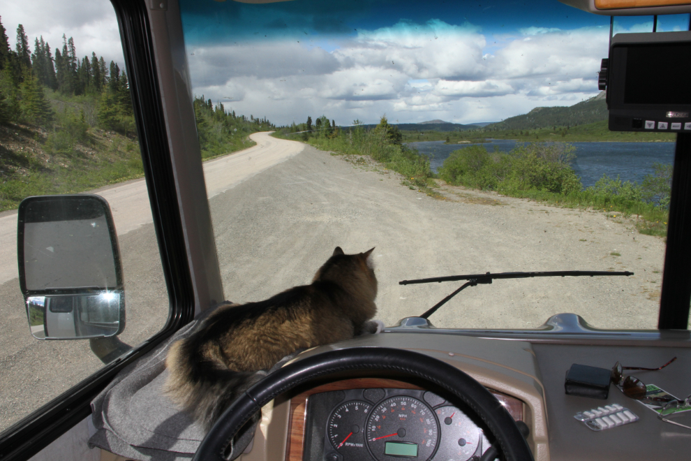
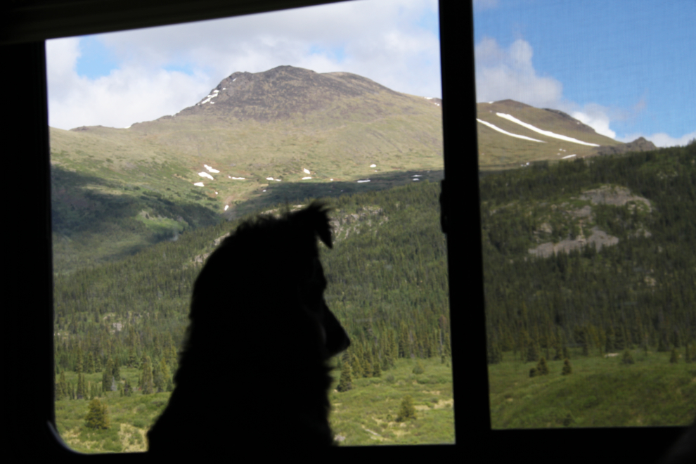
Tucker was happy with his window on the world, too. He was watching ducks on the lake when I shot this. We scanned the slopes for caribou or grizzly, but had no luck.
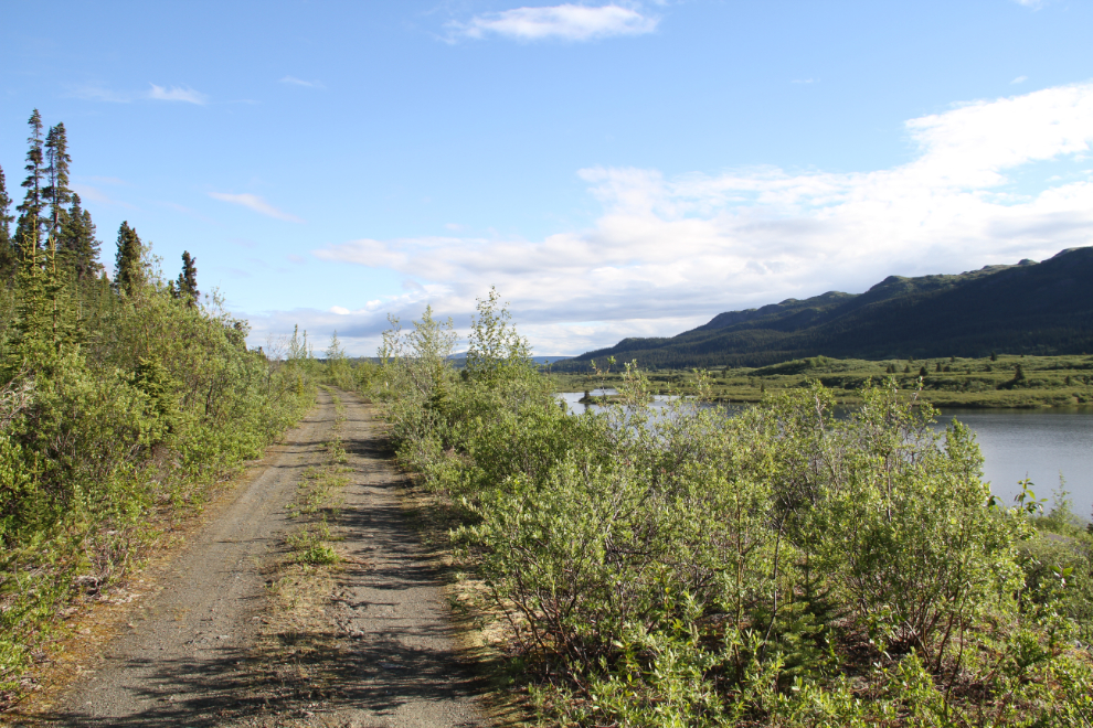
The storm passed by without dropping any moisture on us, so after an early dinner, I unhooked the Tracker to go for a look at the long-abandoned grade of BC Rail’s “Northern Extension” from Fort St. James to Dease Lake.
Wikipedia has a good summary of the Northern Extension project: “In the 1960s, a new line had been projected to run northwest from Fort St. James to Dease Lake, 412 miles (663 km) away. On October 15, 1973, the first 125 miles (201 km) of the extension to Lovell were opened. The cost of the line was significantly greater than what was estimated, however. Contractors working on the remainder of the line alleged that the railway had misled them regarding the amount of work required so that it could obtain low bids, and took the railway to court.”
“The Dease Lake line was starting to appear increasingly uneconomical. There was a world decline in the demand for asbestos and copper, two main commodities that would be hauled over the line. As well, the Cassiar Highway that already served Dease Lake had recently been upgraded. Combined with the increasing construction costs, the Dease Lake line could no longer be justified. Construction stopped on April 5, 1977. Track had been laid to Jackson, 263 miles (423 km) past Fort St. James, and clearing and grading were in progress on the rest of the extension. It had cost $168 million to that point, well over twice the initial estimate. The trackbed can be seen on Google Earth all the way to Dease Lake, via the small towns of Leo Creek and Takla Landing.”
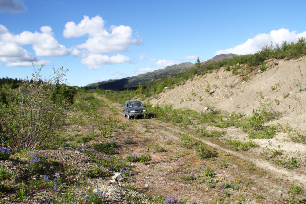
The access from the highway to the grade running south from Gnat Pass is the sort of route that makes me fight getting a new toad for the motorhome. A few mores scratches on the very-well-travelled Tracker don’t matter. Very few vehicles can be towed “4 down”, that is without a trailer or dolly, and some of the vehicles she’s looking at (like a Cadillac SRX) wouldn’t be going into any bush!
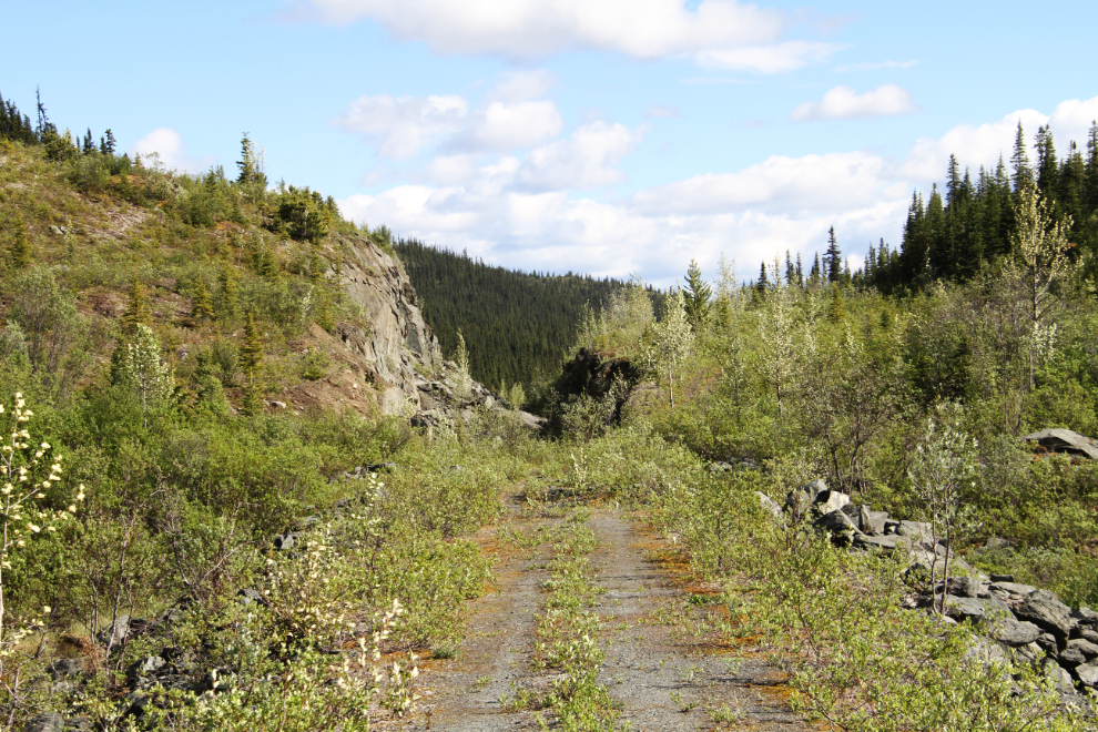
After some bush-crashing and rock-crawling, though, we were soon on the rail grade, which is well used by ATVs at that point. My impression is that the grade has been purposely cut in a few places to limit access by hunters, though pretty well all hunters up here have ATVs now.
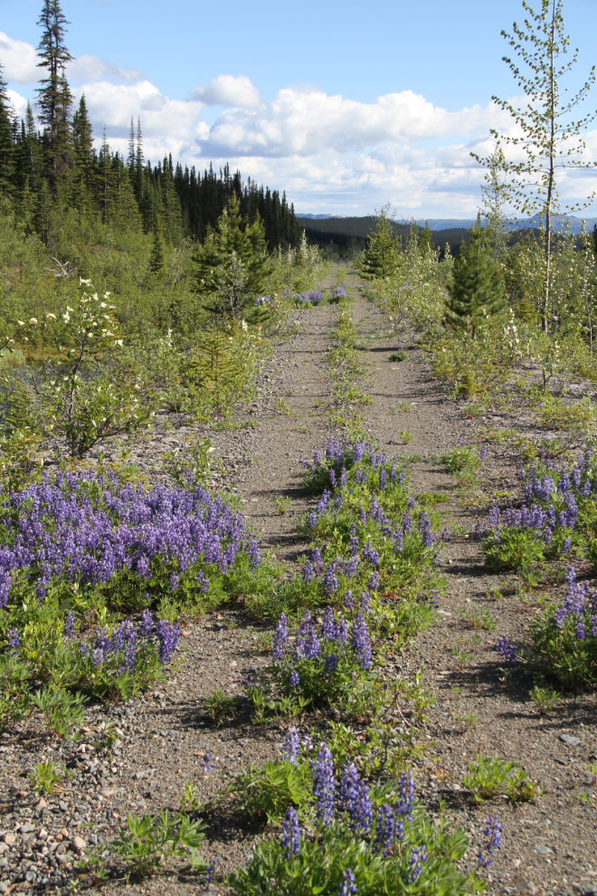
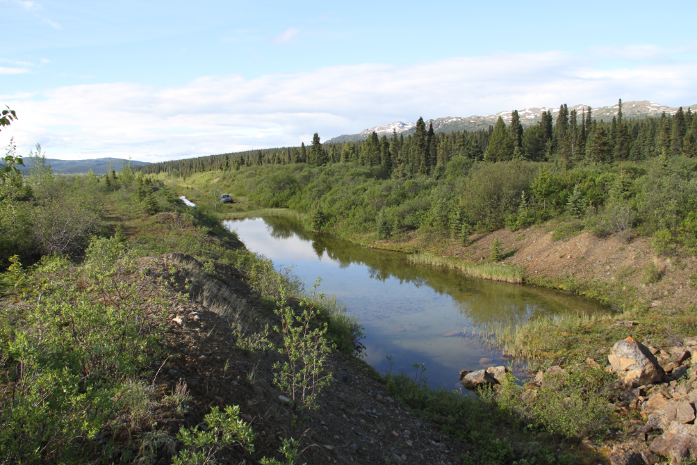
After less than a kilometer, the grade was blocked by a rock collapse in a deep cut. An ATV track led up and around the cut, so I left Cathy and the dogs in the Tracker and went for a hike. The track around the cut was through thick brush, very grizzly-friendly, and I made a lot of noise!
There was a couple of hundred yards of wet ground south of the cut, but once I got through it and saw this ahead, I knew that this was going to be a very hard hike to turn back from 🙂
Some of the fills were nearly 100 feet deep. I’ve always been incredulous that this route was approved, and then abandoned so close to the final destination after spending hundreds of millions of dollars.
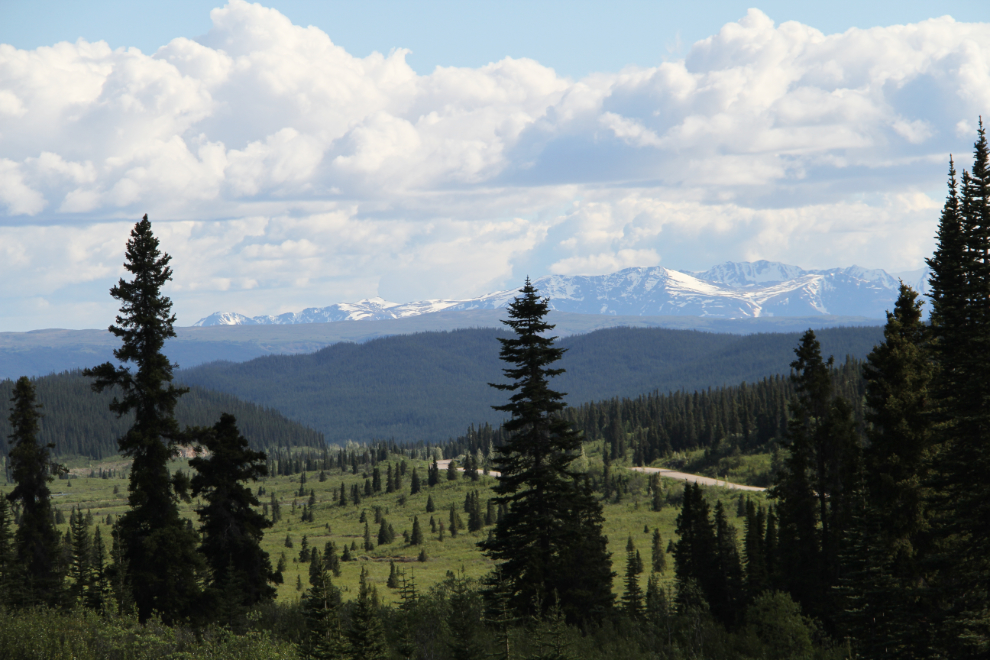
A telephoto shot of the view to the south, with the Stewart-Cassiar Highway cutting across and dropping down towards the Stikine River, which is only about 30 km (19 mi) from our camping spot.
This is where I reluctantly turned around. Rail grade cuts can be seen far ahead on the left, and the highway is on the right.
I had a hard time keeping my mind off the railway that night, and by 08:00 on Thursday morning, I had hiked up to the grade directly above our camping spot.
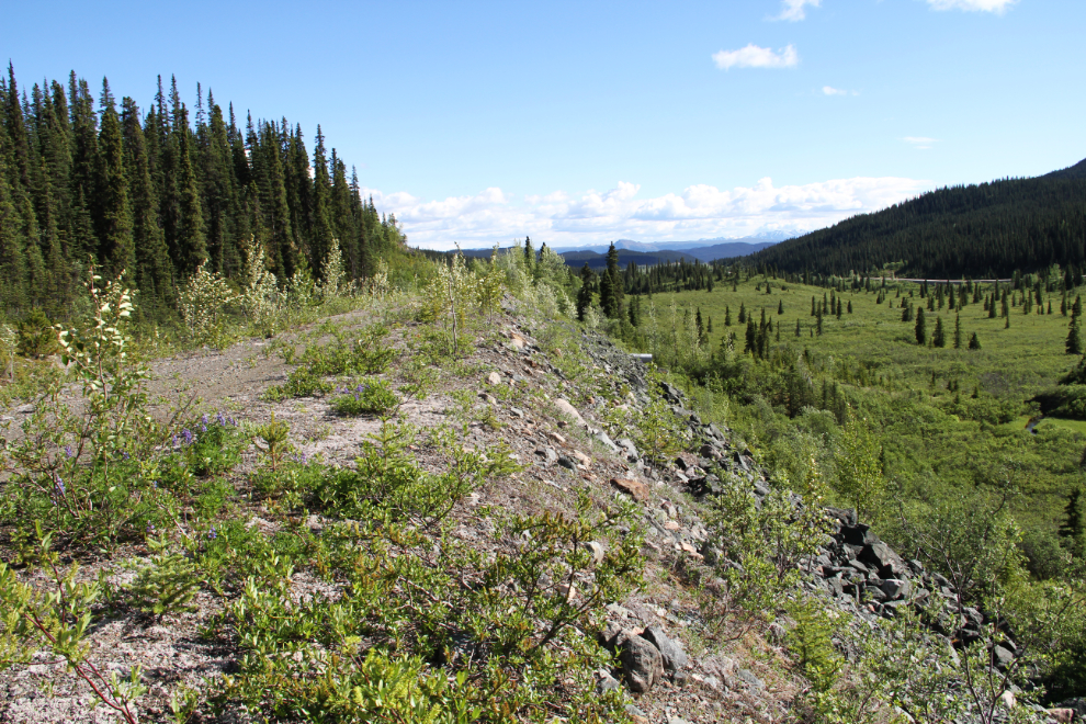
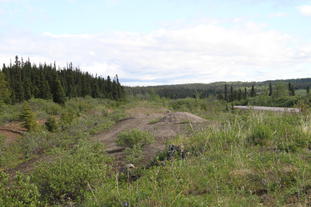
Liking what I saw, I went back and got the Tracker, intending to see if I could find the spot where construction actually stopped. Just south of Km 465, a short road took me to the rail grade, which I followed north 0.9 km to this spot. Directly below me is a cut from which the rock had never been hauled away. That was a good indication that I was near the end of the line.
Continuing north, I drove or walked to the rail grade at a few other points.
This appeared to be the end of the line, where construction was halted on April 5, 1977. There’s a large pullout at this spot, just a few hundred meters/yards from Gnat Pass Summit, which tops out at 1,241 meters (4,072 feet). The end of gravel can be seen in the distance to the south.
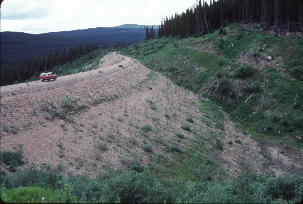
Back in 1994, I drove south from Gnat Pass with my Blazer while wandering after the tour bus season had ended. As you can see, the grade then was in great shape – I only quit at this point because I ran out of time.
I was surprised to find while researching this post that a bridge had been built across the Stikine River for the railway, and it’s still useable (see photo). About 40 km (25 mi) of the line south of the Stikine River is accessible from a spot near Tatogga Lake, and a brief report at TrailPeak.com talks about it as a great bike route.
BC Parks notes in their information about Spatsizi Plateau Wilderness Provincial Park that “The Ealue Lake Road and Klappan Rail Grade are both unmaintained. Recent rain in August 2015 has increased water flow and washed out sections along the rail grade. These washouts have been temporarily fixed for 4×4 vehicle access.”
My impression from what I’ve learned to this point is that much of the line can still be travelled – some by 4×4, much by ATV, and even more (perhaps all of it) by mountain bike or even motorcycle. So much to explore, so little time! 🙂
Once I got back to the rig and had breakfast, we headed north again, with 2 only more nights on the road planned before reaching home.