Back in Vancouver – a walk at Kitsilano
Last week Cathy and I had to return to Vancouver. It was another medical trip unfortunately, but walking and photography are stress relievers for me and I put on about 35 km during the 2 full and 2 part days there. The 3 main walks are mostly what I’ll show you in the posts from this trip.
July 25th got off to a rather poor start – the Whitehorse airport was a zoo. The line to get to security stretched the entire length of the terminal, then snaked around and out the doors. And that was with no covid spacing. We were supposed to take off at 09:40, but we weren’t lined up on the runway until 10:18. The pilot apologized for the delay, and Air North apparently did the same on Facebook.
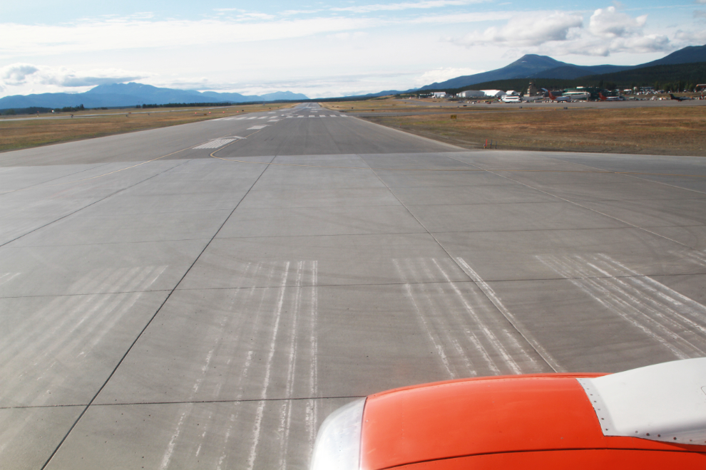
Goodbye, Whitehorse – see you in 4 days!
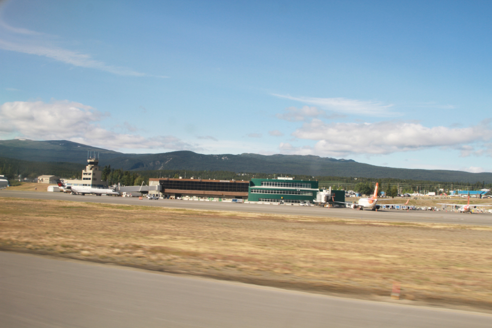
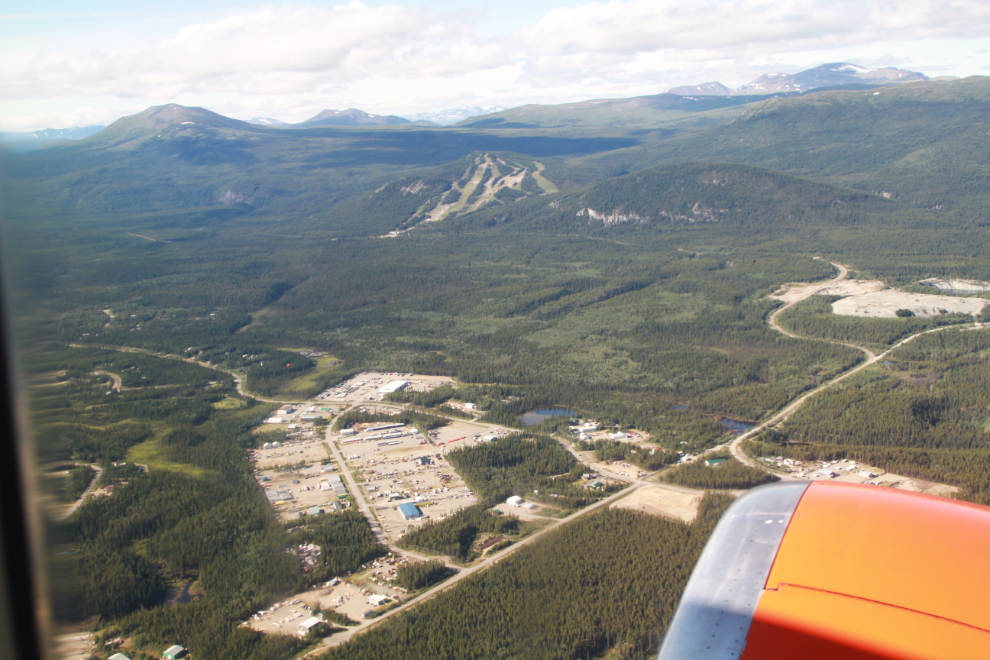
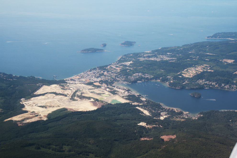
Visibility was quite poor for the flight, and I only took 3 photos, as we climbed out and as we descended. The next photo shows the growing Mount Sima industrial subdivision, the adjoining country residential subdivision of Whitehorse Copper to the left, the Mount Sima ski hill, and at the right, the long-abandoned Whitehorse Copper mine site.
At 12:16 I got a good view of Sechelt as we descended into Vancouver.
We took a taxi from the airport and at 11:45 were in room #1101 at the Sheraton Wall Centre. We had stayed at the Fairmont Hotel Vancouver last time, but though it’s a great hotel its location was awkward for our needs.
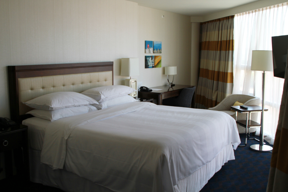
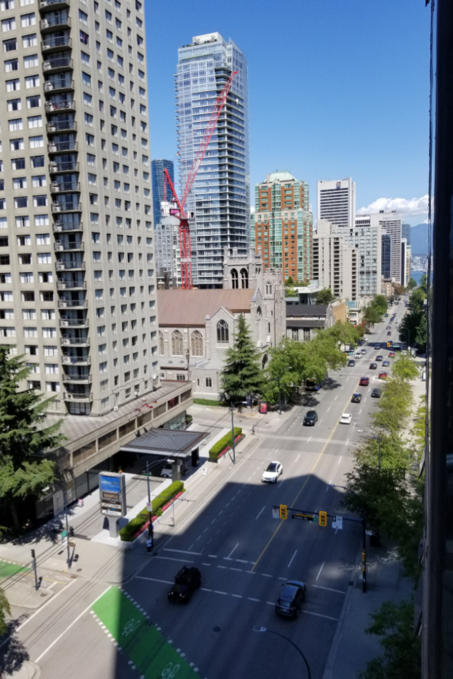
The room has about 30 feet of floor-to-ceiling windows, and a small balcony. The view down Burrard Street from the balcony was great. It must be very impressive up and 20+ floors 🙂
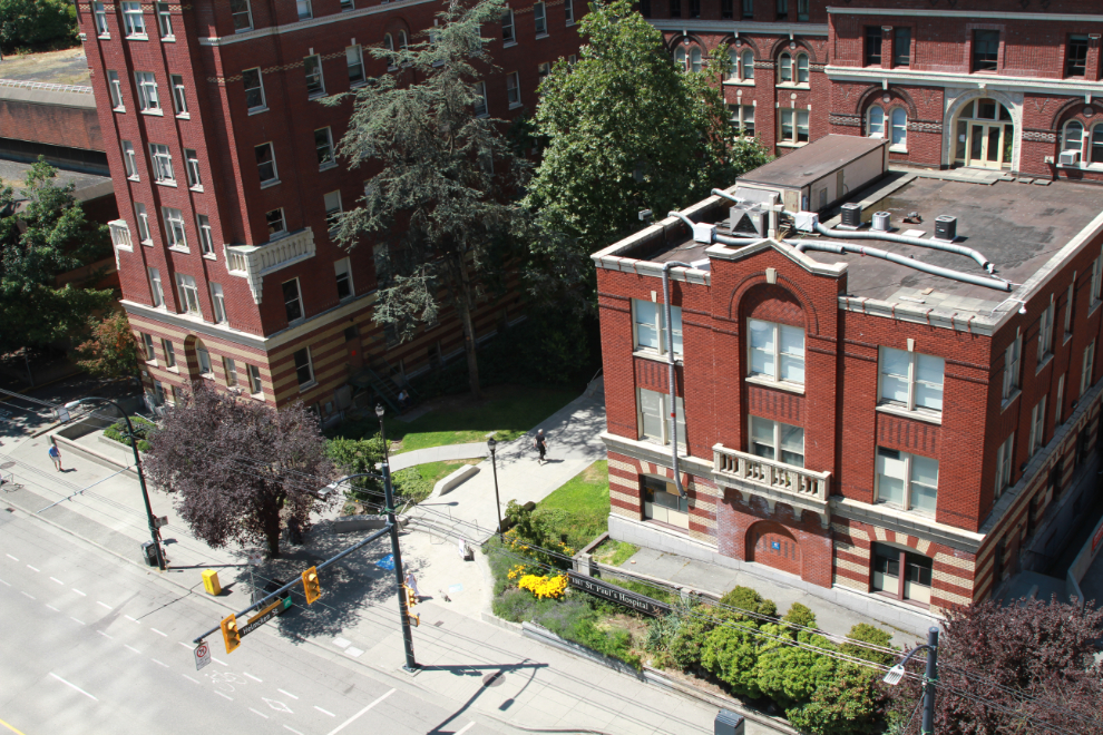
Right across the street is the historic St. Paul’s Hospital – their cardiac unit, considered one of the best in the country, was the focus of this trip.
We had no plans for this visit, but that afternoon took a taxi to the waterfront and had an excellent late-lunch, early-dinner at Mahoney’s Tavern at the Convention Centre. People-watching is always great in Vancouver, and our table was particularly good for it 🙂
There’s a spot in front of the Convention Centre for street entertainers. The 2 whose performances we watched parts of were very good and they drew good crowds.
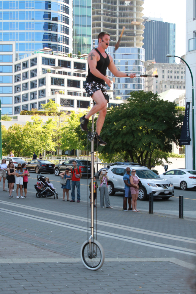
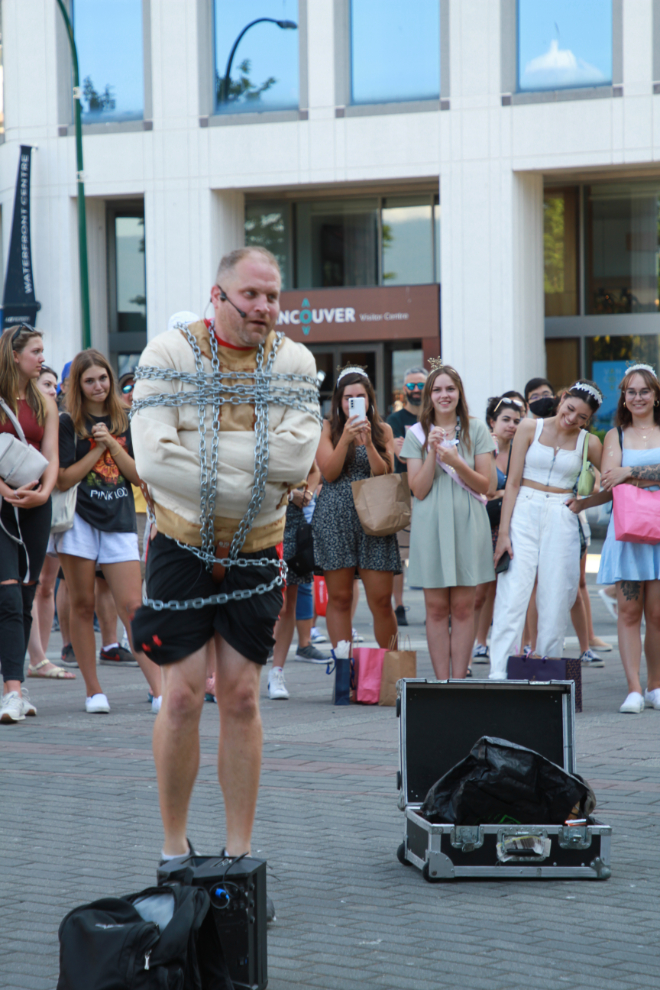
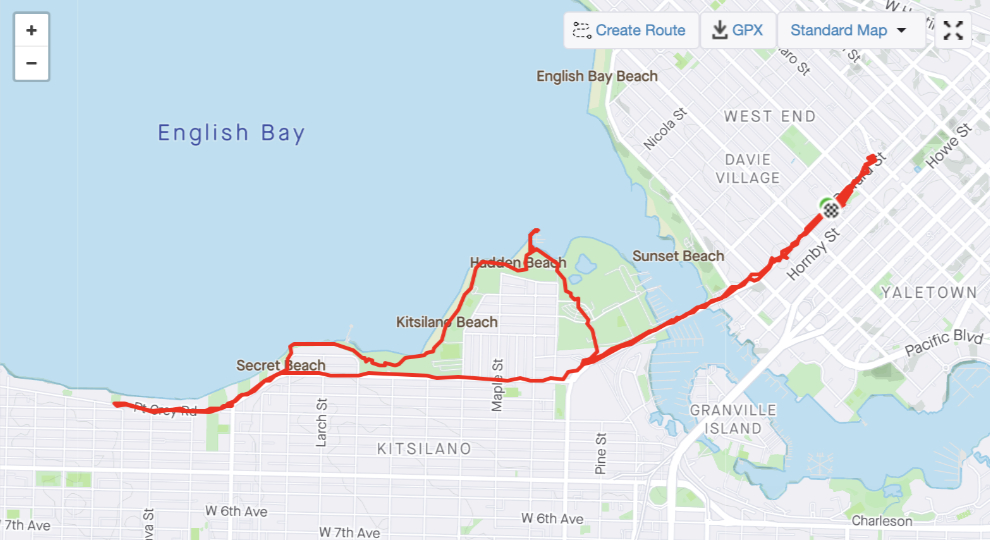
At 6:30 that evening, with the temperature at 25°C/77°F, I decided I needed a long walk. I hadn’t been out Kitsilano Beach way in years so picked that direction. The Art Deco Burrard Street Bridge and the views from it were part of that decision, too.
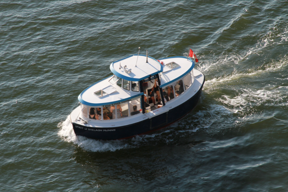
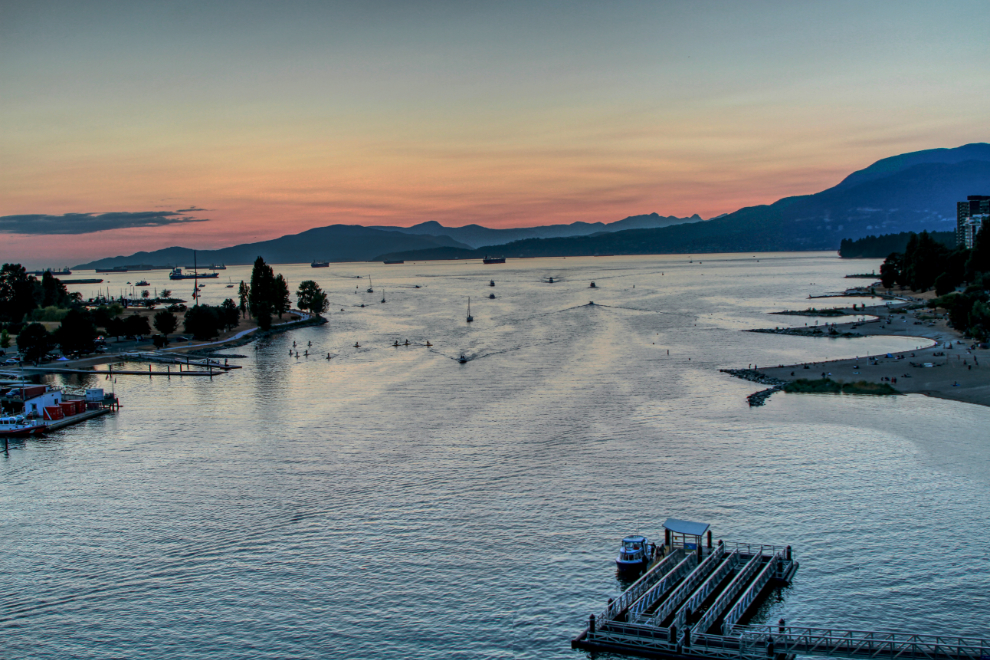
A fleet of charming little water taxis shuttle people around Falson Creek, which the bridge goes over.
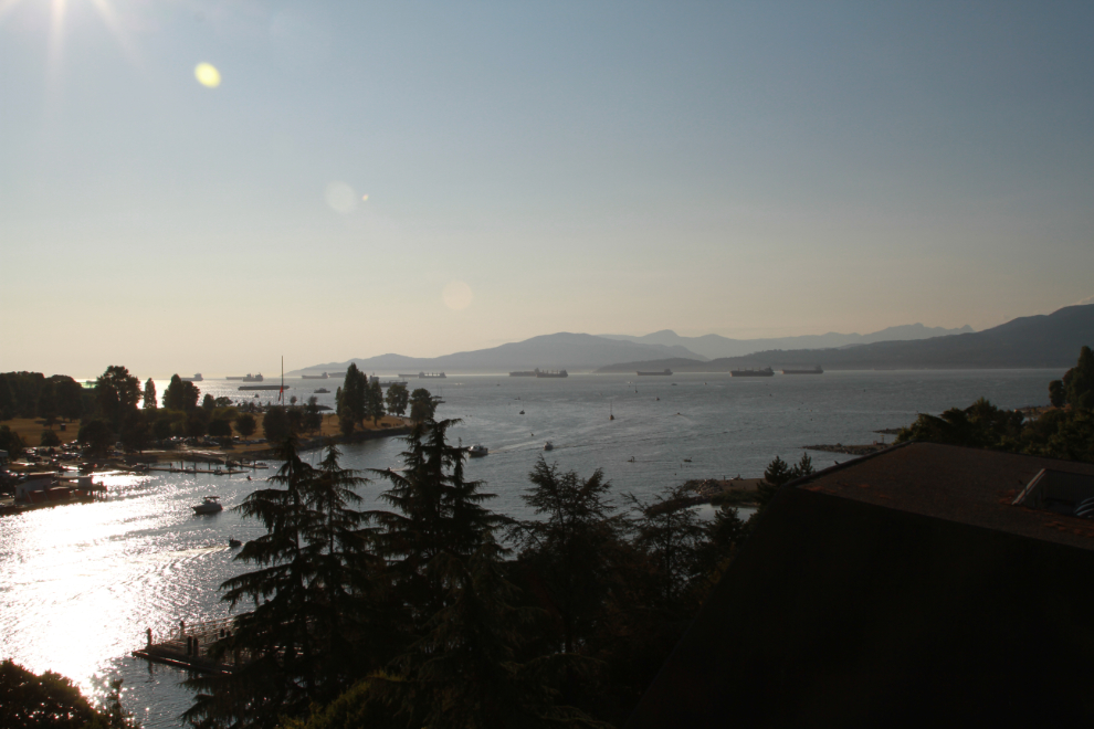
English Bay and the mouth of False Creek.
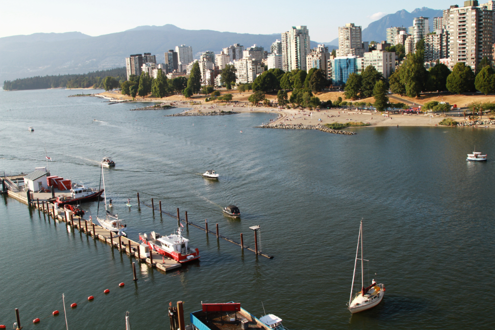
A look at the Burrard Street Bridge itself.
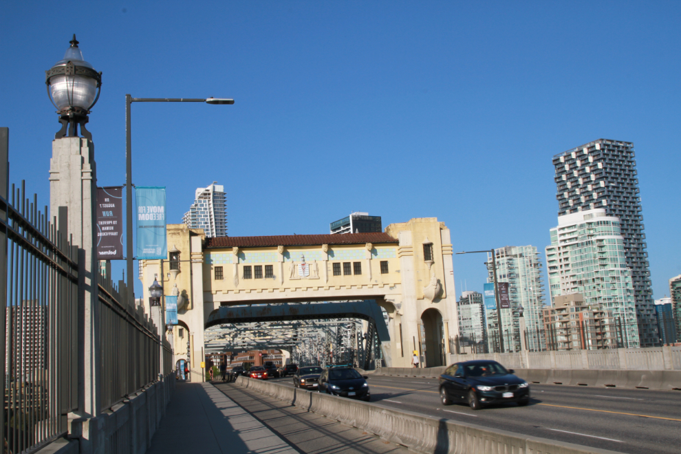
A look from above the west shore.
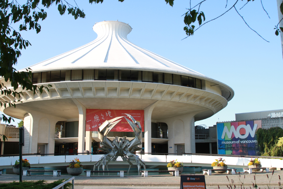
I had no particular route in mind, I was just wandering. The planetarium and Museum of Vancouver was a good photo op.
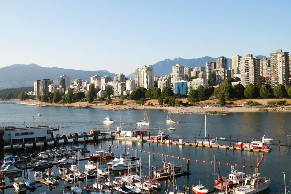
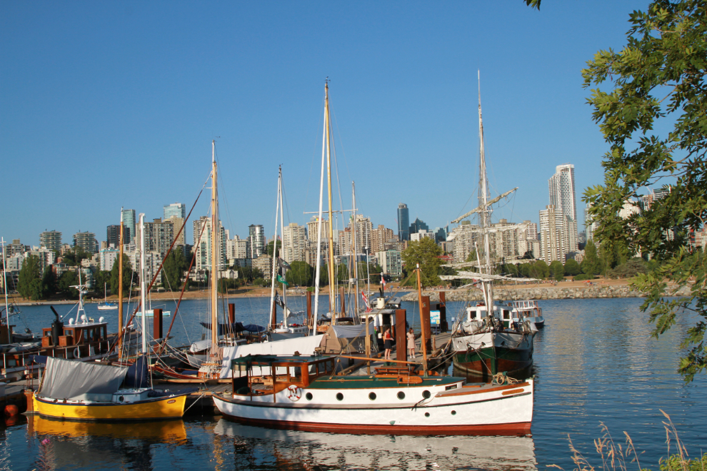
The Heritage Harbour at the Maritime Museum was a must-stop. I was hoping to get some good photos of the Yukon boat there, North Star of Herschel Island, but the light was from the wrong direction. The North Star is above the bow of the lovely 35-foot Rhinegold, which was built in 1910 by Vancouver Shipyards.
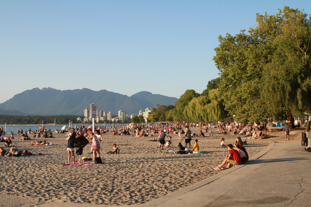
The first part of Kitsilano Beach was so crowded you could hardly walk along the sidewalk – it was quieter at this end. Of the thousands of people, I think 3 of us were over 30 years old 🙂
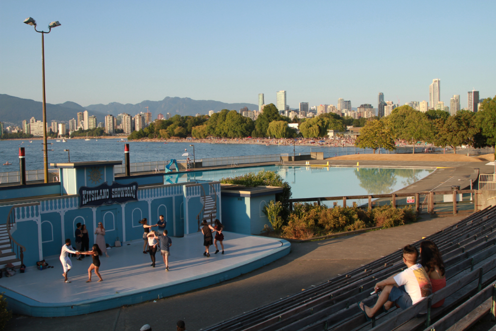
There were some dancers practising at the Kitsilano Showboat. I thought it might be for an upcoming show, but I see they’ve already closed after a season of only 4 weeks.
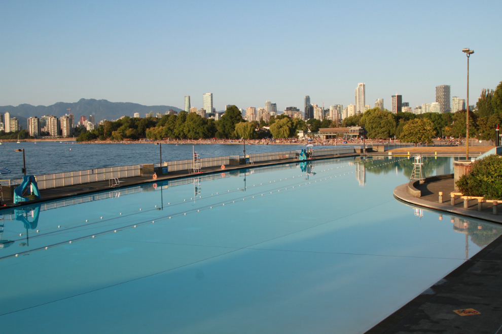
A broad view over the huge Kitsilano Pool at 7:52.
From there the walk was mostly along Point Grey Road with its multi-million dollar homes – one that’s not visible from the road is currently for sale for $33 million. When I got bored wth that I headed back, and right at 9:00 I took the final photo from the Burrard Street Bridge – I had missed the best part of the sunset but a dozen or so people were still watching and photographing it.
The map is from my walk record at Strava, one of the 3 apps I now use (Relive and Garmin are the other two). In total I walked 11.25 km in 2 hours, 20 minutes. And I felt much better.
