Flying to Calgary for a week
This post is rather odd in that I’m writing it 2½ weeks after the event, and back-dating to when I would normally have written it, that afternoon. The reason for this is that my brain injury symptoms flared up in a major way a few weeks ago and I’m quite sick. Confusion, loss of coordination, and fatigue are causing a lot of problems, including making reading, writing, and walking difficult. As I start writing this, I’m not even sure I can complete it. But here we go…
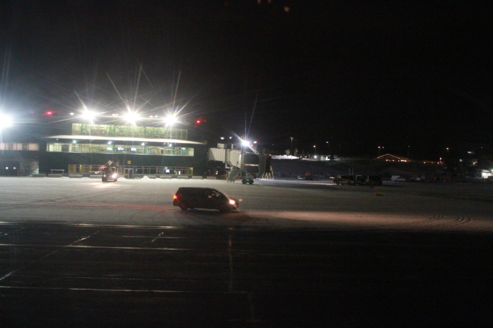
I decided a couple of weeks ago that I really needed to see my kids in Calgary. Although I flew my daughter up to Whitehorse a few weeks ago, I hadn’t seen my son since long before the COVID-19 pandemic began. I booked an Air North flight scheduled to depart on November 23rd at 07:45, with a window seat near the front of the aircraft, 4A.
Although I’ve travelled extensively, including doing it for a living, for the past 30+ years, my anxiety level was through the roof the night before and morning of the flight. Walking with a cane, and covid regulations, added to my confusion about how to deal with it all.
But, Cathy dropped me off and I managed to get on board. At 07:44 we were taxiing away from the terminal. Sunrise would be at 10:24.
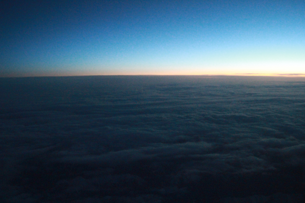
I slept for a bit, and at 08:34 shot the next photo, of the first light of dawn, probably near Fort St. John, BC.
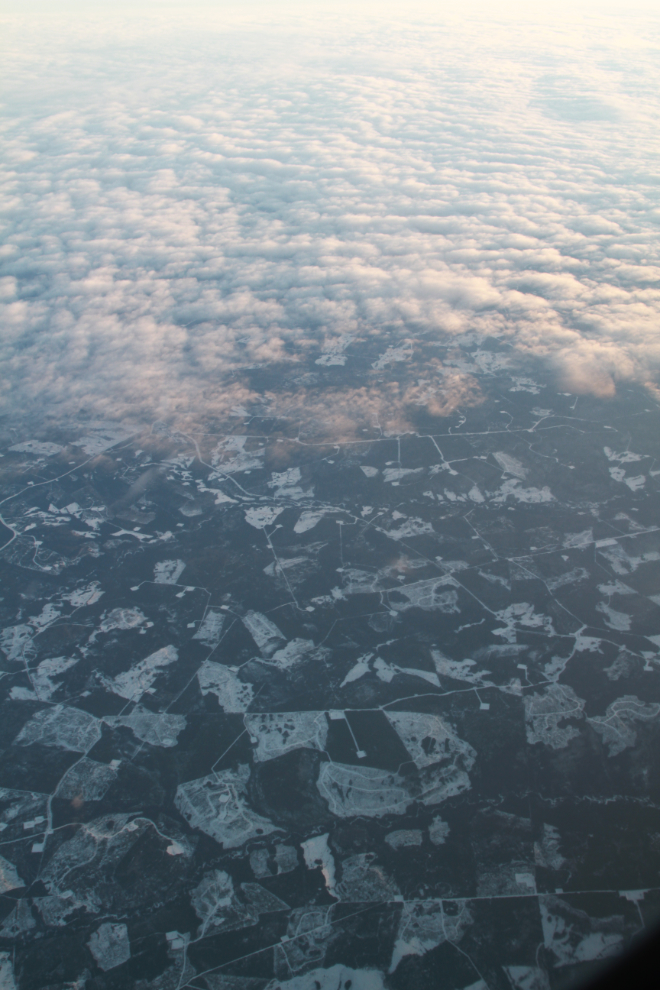
We got a small break in the clouds as we passed over the oil and gas country between Fort St. John and Grande Prairie. The next photo was shot at 09:15.
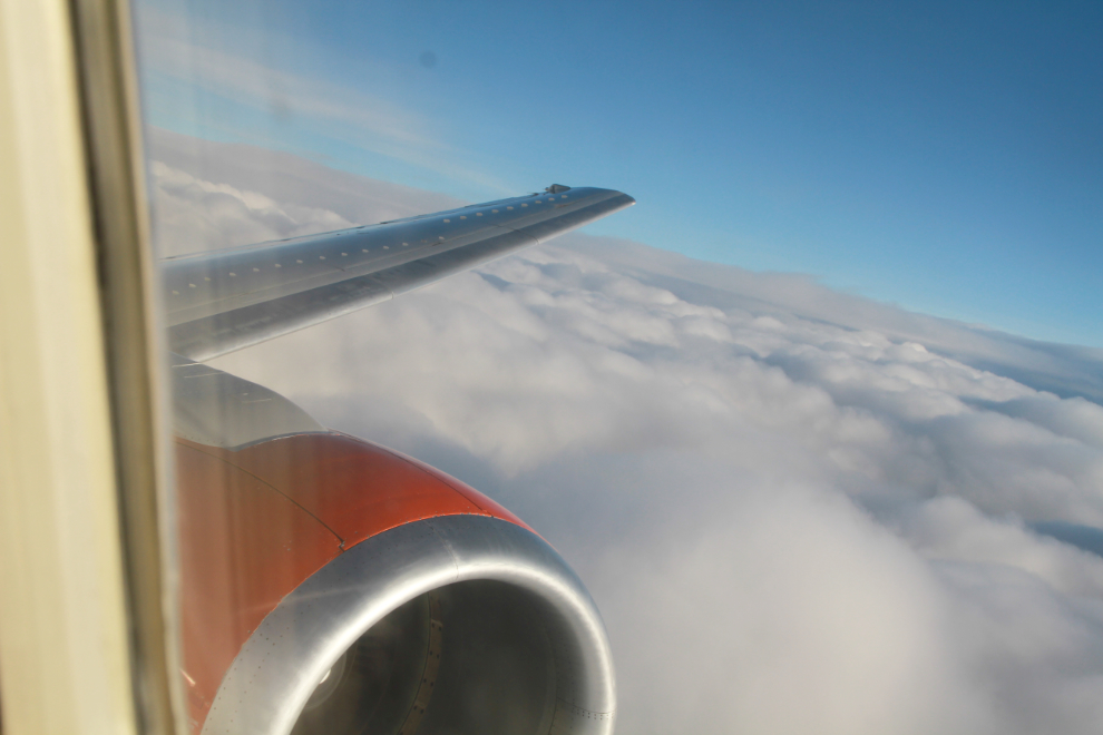
Descending into the Calgary area at 09:51.
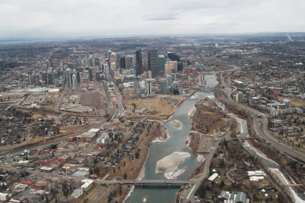
I always hope to take the scenic approach to Calgary, circling the city and landing from the south. That’s what we got this day. The next photo shows downtown Calgary from the west at 09:55.
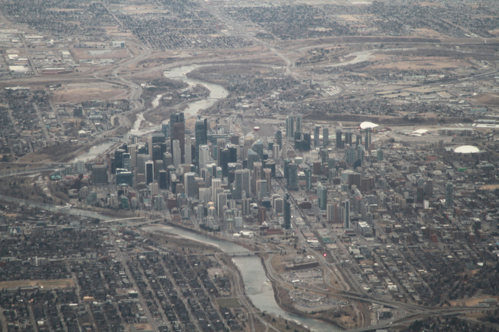
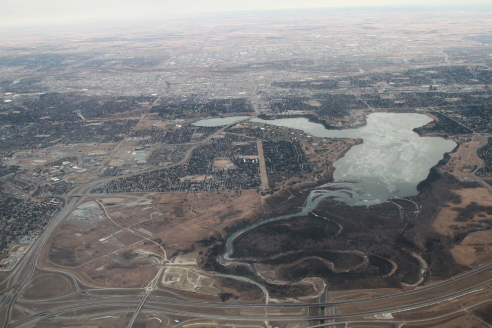
Looking east across Highway 201 to the large Glenmore Reservoir. Enlarged and controlled by the Glenmore Dam, it’s a major recreation area though swimming and power boats are not allowed as it also supplies about half of the city’s drinking water.
The growth of the city to the south.
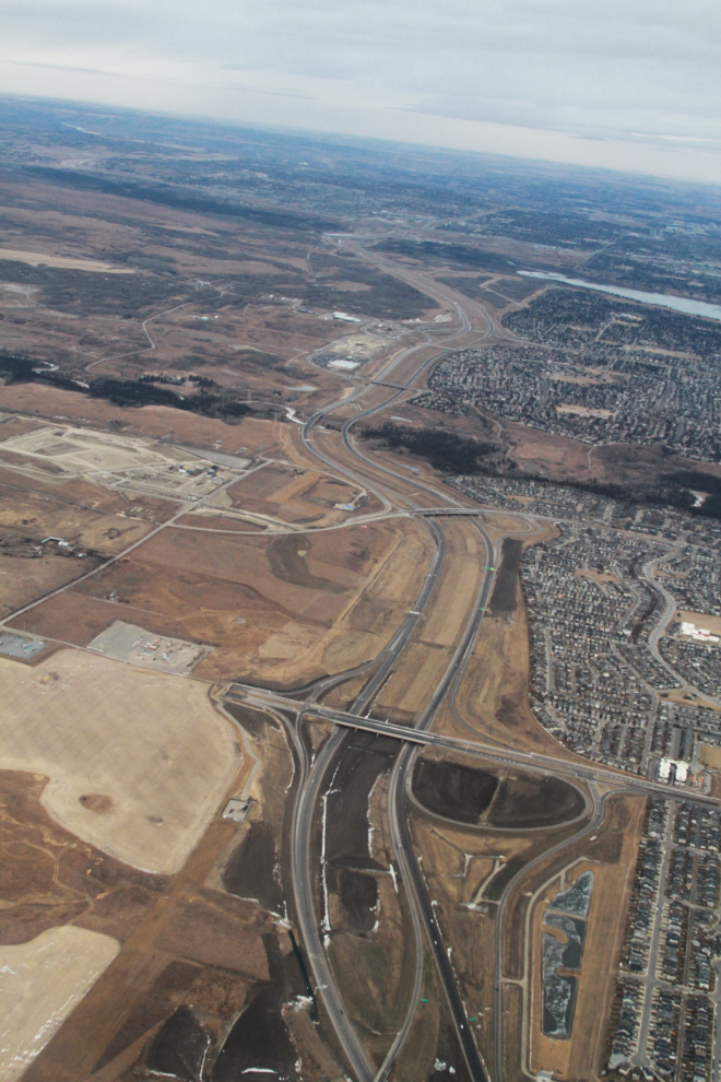
Looking north up McLeod Trail, with a series of parks along Fish Creek seen crossing above the centre of the photo.
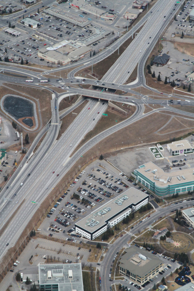
The complexities of infrastructure development always intrigue me, especially in cities that have grown as rapidly as Calgary. From roads to water supplies, it’s all quite fascinating. The next photo shows Sun Valley Boulevard and 162nd Avenue crossing McLeod Trail.
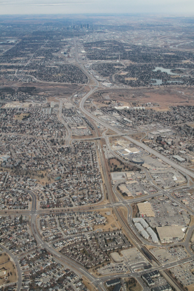
Looking across the Calgary Stampede grounds to downtown.
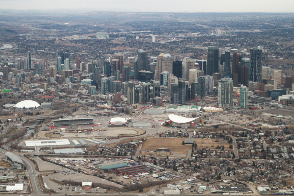
I’ve always liked the look of downtown Calgary, and its growth hasn’t changed that. The Bow River is a significant part of the city’s character. This was shot at 10:02, a few seconds from touchdown.
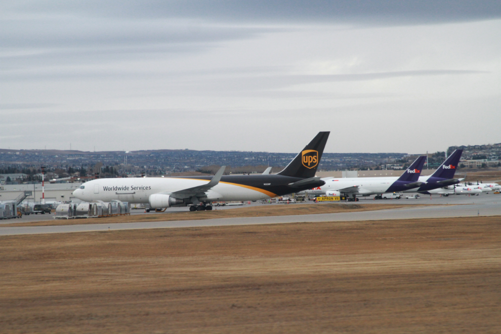
UPS, FedEx, and Purolator are located side-by-side at the west side of the airport. The aircraft in front, N322P, is a 1997 Boeing 767-34AF.
To maximize my time with the kids, I had asked to spend 3 nights with each of them. Andrea picked me up at the airport. We didn’t have any plans for the week, but would just see what was available and possible.