Out the Alaska Highway to Kluane Lake
With the beautiful light returning, I’m getting road fever, so on Monday I decided to take Bella and Tucker on a drive out to Kluane Lake. My post on Facebook as I started out said, “I probably just need a bunch of fresh air and mountains to get better – headed west…”
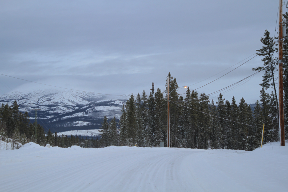
As I left Mary Lake at 09:45, the skies were rather dreary, but the weather report said it was sunny out Kluane way. The first photo was shot on Fireweed Drive a couple of blocks from home.
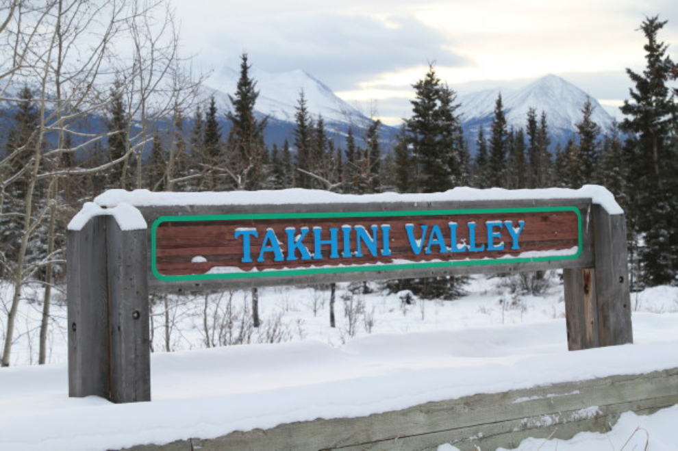
I wasn’t feel particularly well, and had lots of rest stops planned. Our second one was at 11:15, at the Takhini Valley Rest Area, Km 1487 of the Alaska Highway. The Milepost incorrectly calls it the Takhini Burn Rest Area because it’s located in a large area burned by a wildfire in 1958. I took my car, so the kids were happy to be able to get out and stretch often – it’s not the most comfortable vehicle for them.

Marshall Creek is in the dip ahead, at Km 1560. It was great to see clear skies just ahead.
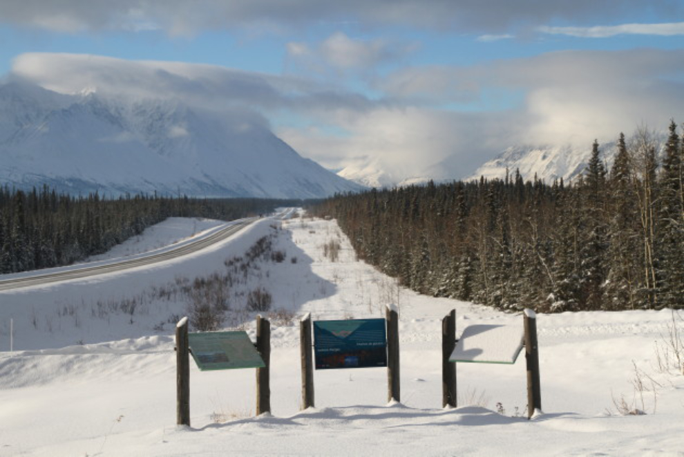
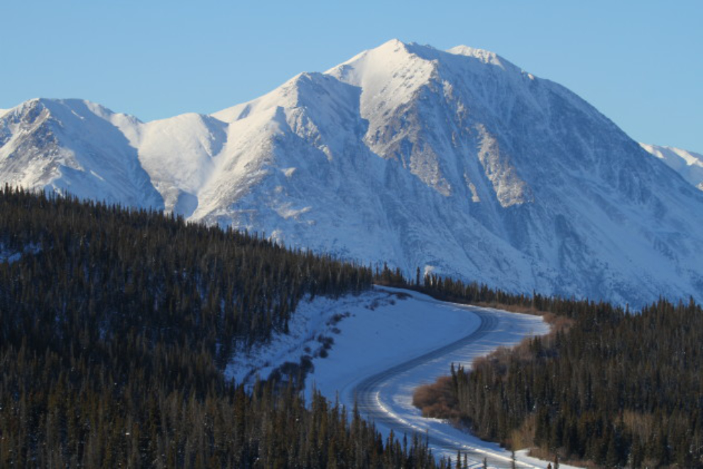
We made a long stop at the Kluane Range Rest Area at Km 1566, one of my regular stopping places.
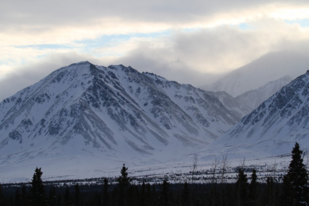
The smoke at Haines Junction was awful. It seemed to be mostly from a fire at the garbage dump, with possibly some wood stoves adding to it. On a clear day this is one of my favourite views in the territory.

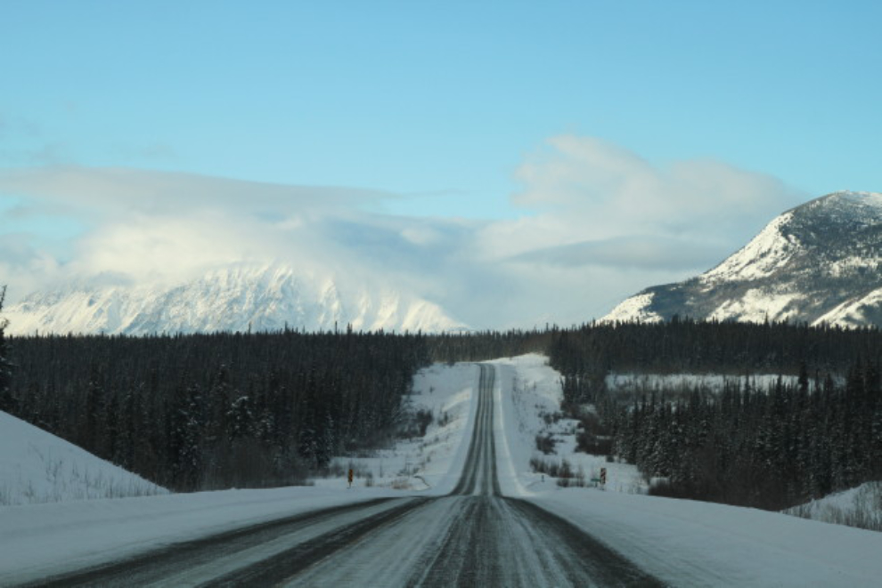
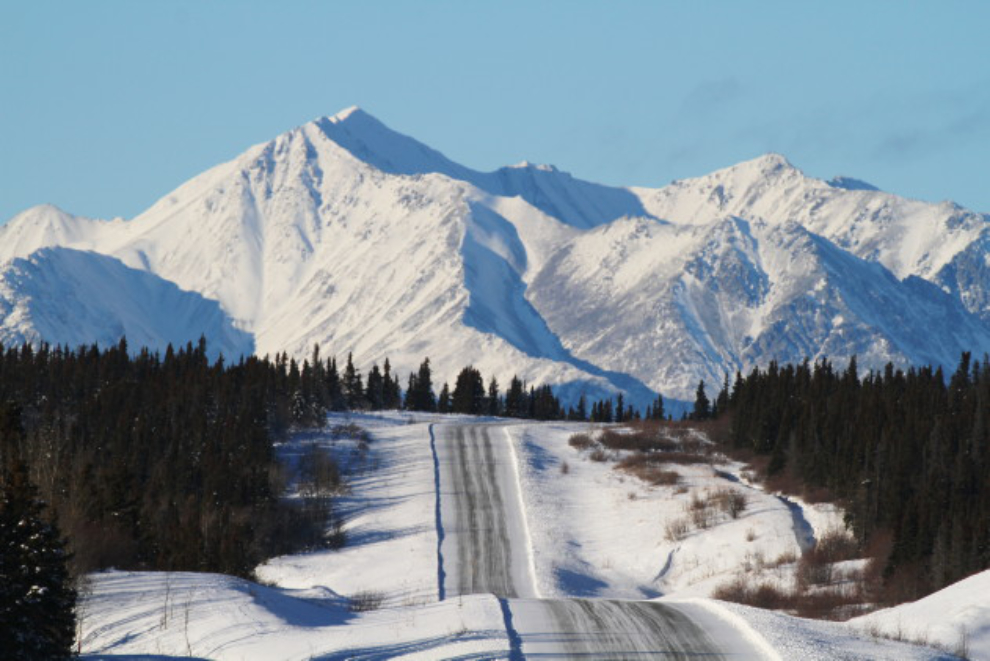
There’s what I needed – right at Km 1620, with blue skies and the peaks of Kluane. Ahhhh…. 🙂
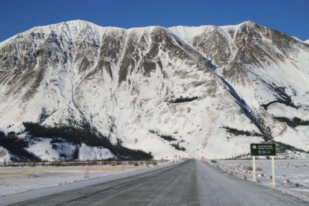
About to drop down to Christmas Creek, at Km 1629.6.
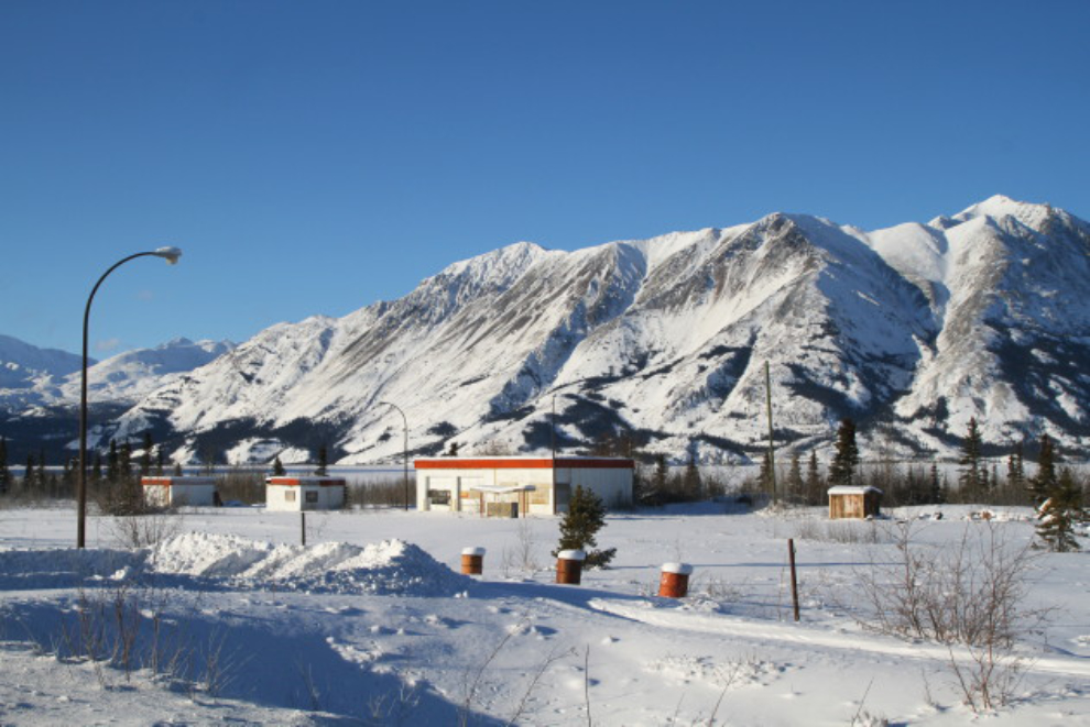
I should buy the long-abandoned Kluane Lake Lodge as a summer base – the beach there is wonderful. But the last time it was for sale, in 1993, they wanted $198,000 – maybe for 1/4 of that.
I decided to go as far as Sheep Mountain in the hope of seeing some Dall sheep.
This is a closeup of the road surface at the spot in the photo above – that’s compressed snow and ice. It’s nice to have awd.

Looking across Slim’s River Flats, a vast expanse of sand in the summer.
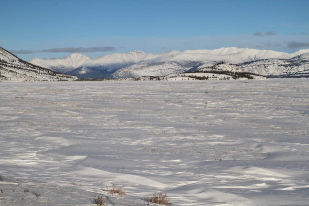
A coyote crossing the flats – I can’t imagine that hunting is any good out there.

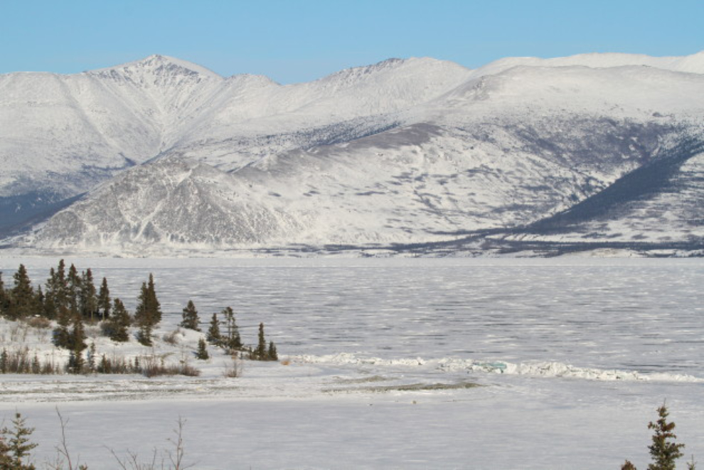
Pressure ridges (caused by expanding ice) always fascinate me, and Kluane Lake builds some beauties.

This was the furthest west I drove – I did a U-turn here at Horseshoe Bay and started for home. I really wanted to walk down to have a close look at that pressure ridge, but I had no energy left.
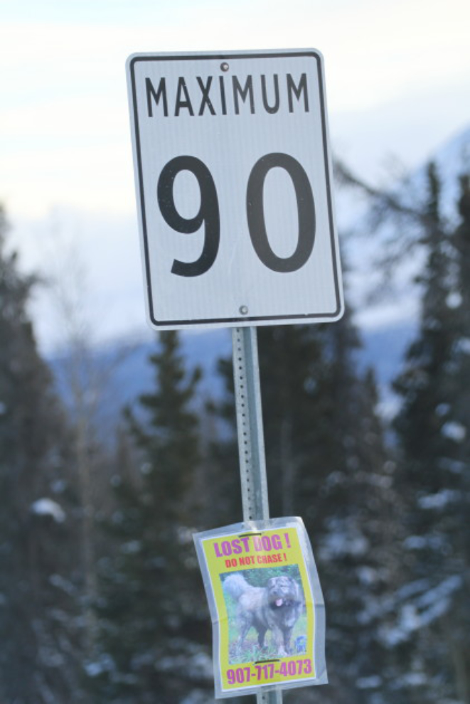
Back on November 21st, a large dog (a Caucasian Shepherd) named Tserber got lost along Kluane Lake, and his family is still looking for him, as he’s sighted occasionally but nobody can get near him. They have a Facebook page, and there are signs like this everywhere along the highway starting in Haines Junction. Heartbreaking… 🙁
I took very few photos on the drive home, despite some wonderful light. I felt awful. I knew that Kluane would be too far but had to do it anyway.
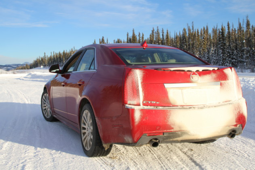
Stopped for another rest at Km 1566, I could see that the sun had some warmth now, with snow melting off the back of the car. I tried to get some sleep here but Tucker needed to protect me from every vehicle going by so I soon gave up that idea. Tucker takes very good care of me.
Heading home in the lovely afternoon light at 4:16, right at the Km 1516 milepost.

By the time I got home I was “done,” and went straight to bed. How far is too far now? I don’t really know, since I didn’t feel well right from the start. Cathy wants me to give up my plan to go back to Vancouver Island in mid-April, but I’m not willing to do that yet.