A Spring wander and hike to Bryant Lake
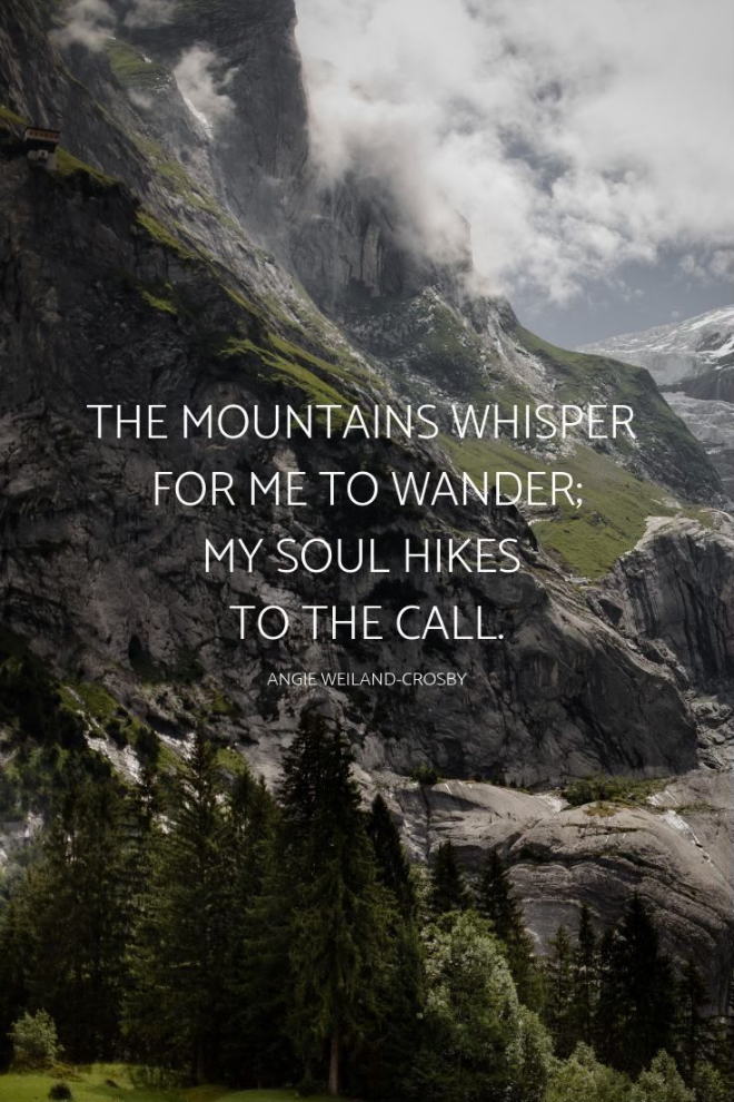
A friend posted a meme on Facebook yesterday morning that got me thinking (thanks, Sue!). It said “Turn off the news. Go outside. Breathe. We were not meant to carry the burden of the entire world.” I’ve been doing quite well in moving away from the nastiness of politics, but I needed a day outside to breathe. A mountain day. I did a search and eventually found this one: “The mountains whisper for me to wander; my soul hikes to the call.” With the weather forecast calling for sun all the way to Skagway, I was soon off to hear the whisper on what promised to be a magnificent day.
I started up the driveway at 10:20, with the temperature at -5°C and the forecast high +2°.
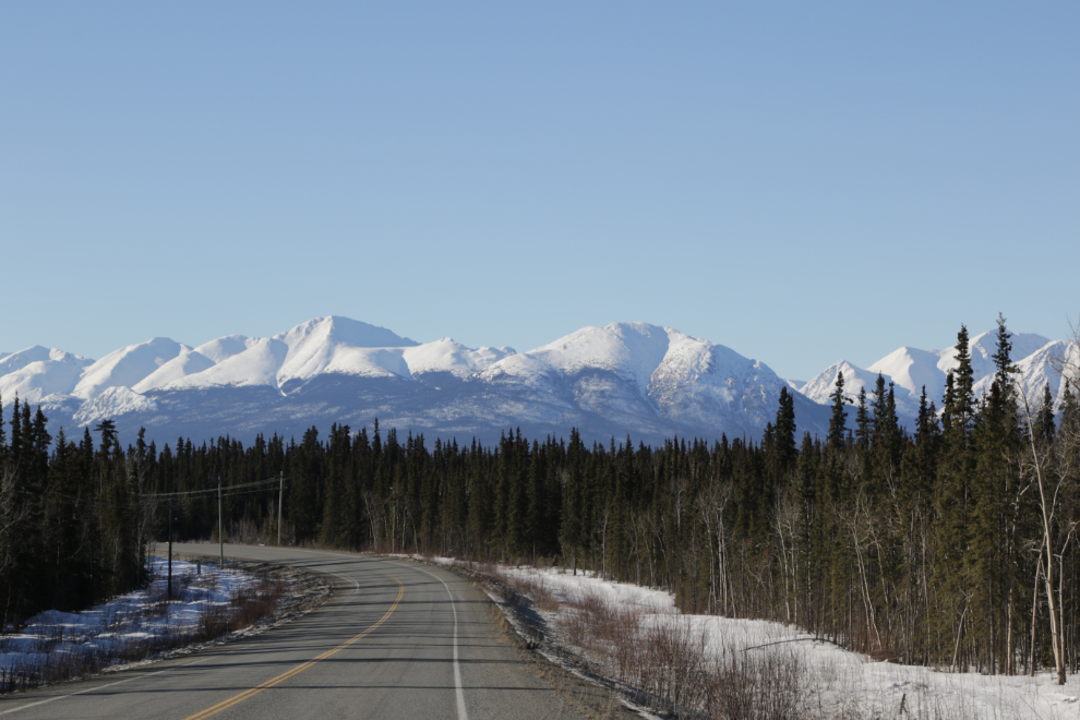
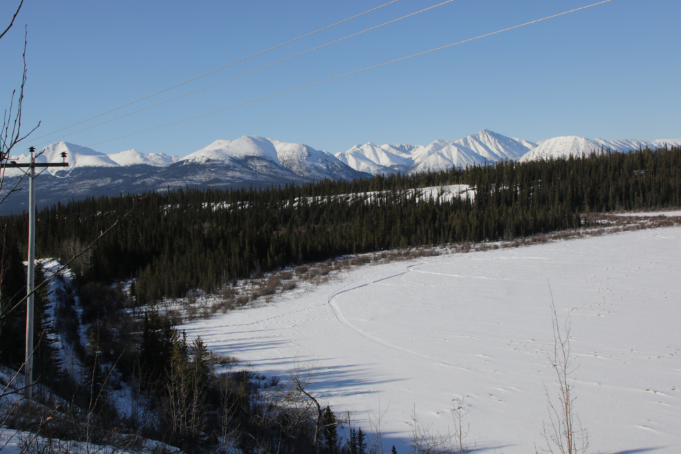
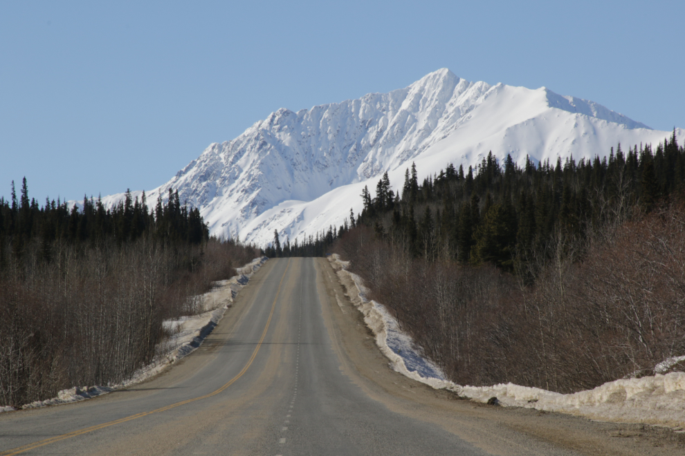
It takes about 12 minutes to get to the first view that often stops me for a photo, to set my mood in the right direction. This is looking south from Km 145.5 of the South Klondike Highway (I remembered to take my notepad this time 🙂 )
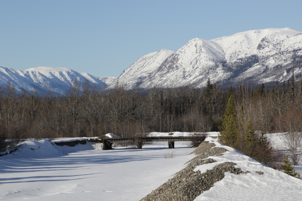
The bridge over Bear Creek is one of the few still standing on the White Pass & Yukon Route rail line between Carcross and Whitehorse.
I didn’t really have a plan as I headed south. I told Cathy I might get as far as the White Pass, and had taken my snowshoes. Beyond that, I was just going to see what happened. I made two stops looking over Rat Lake – this photo was shot at Km 136.8 – sometimes I see moose among those willows, but not today.
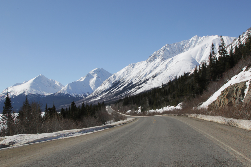
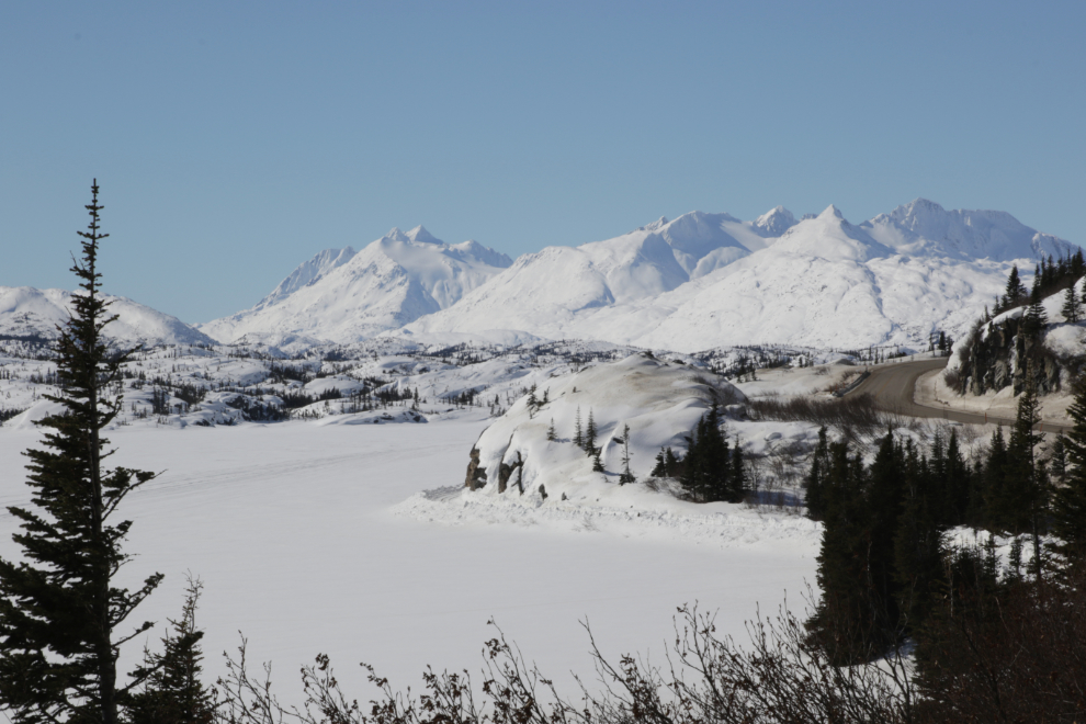
At Km 128.7, this is probably my favourite view of Grey Ridge on this drive. Lewes Lake Road is just ahead on the right. Grey Ridge is anchored at the south end by Mount Grey right at Carcross.
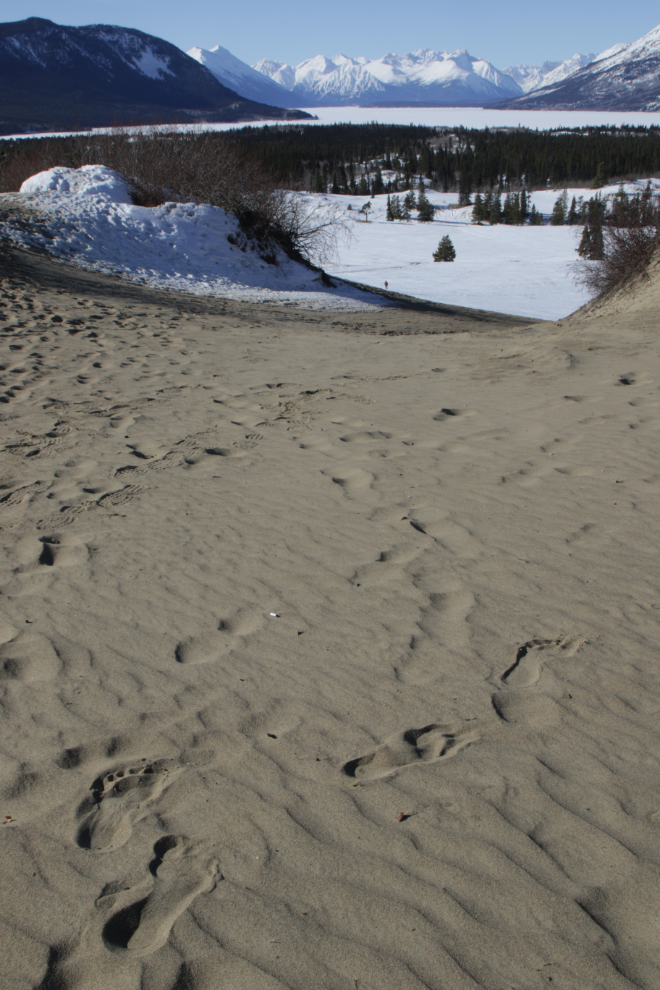
I decided to stretch my legs at the Carcross Desert – I hadn’t been on top of the highest dune in a long time, and the view would be wonderful. This is a 2-photo stitched panorama.
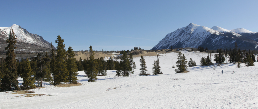
Yes, that was definitely worth the climb 🙂
I couldn’t resist doing some proper earthing – being barefoot in soft sand in March is soooo wonderful!
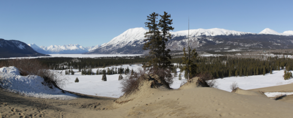
Looking down on Windy Arm. What a great way to spend a day like this with friends.
This view is so significant as to be part of who I am. I feel like I know every rock in that view. I hope that mill lasts as long as I do – when it collapses, so will the significance of the view.
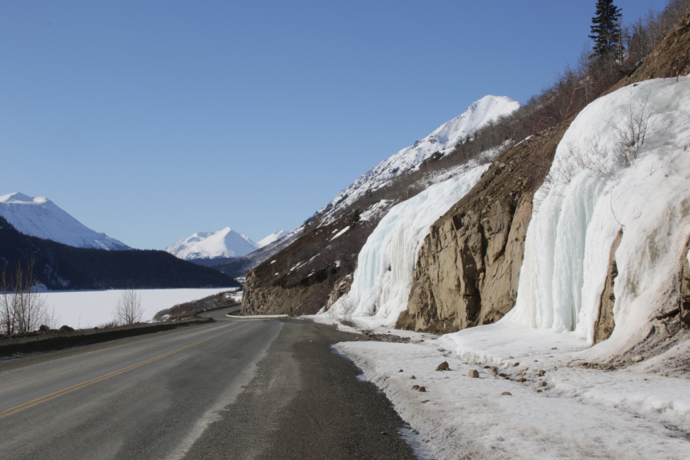
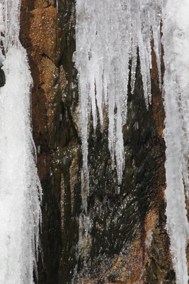
The frozen waterfalls just south of the Venus mill are particularly fascinating this time of year when the water starts flowing. This photo stop was several minutes long.
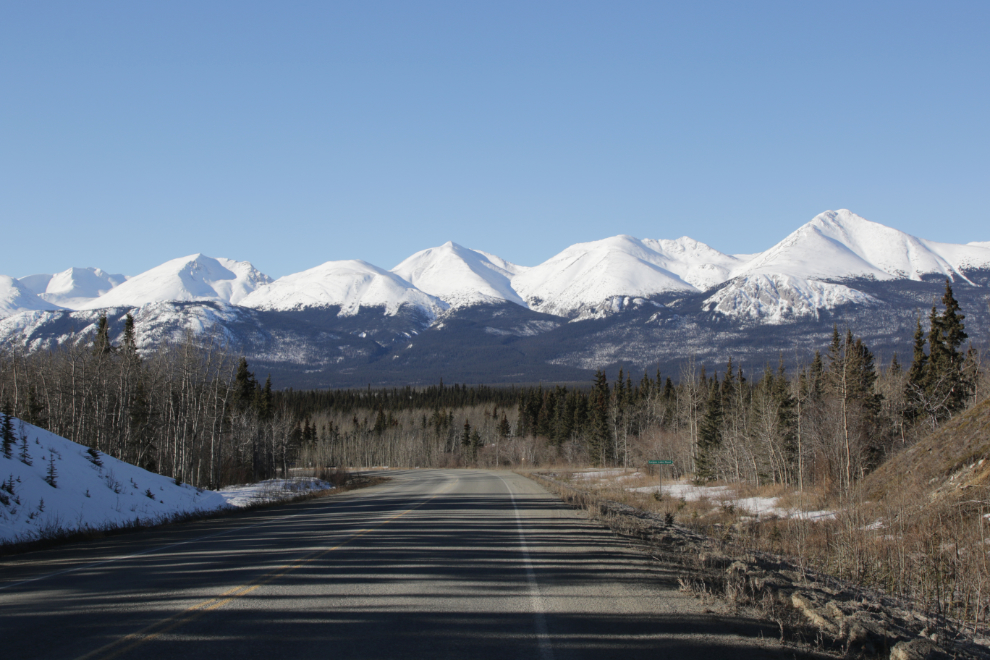
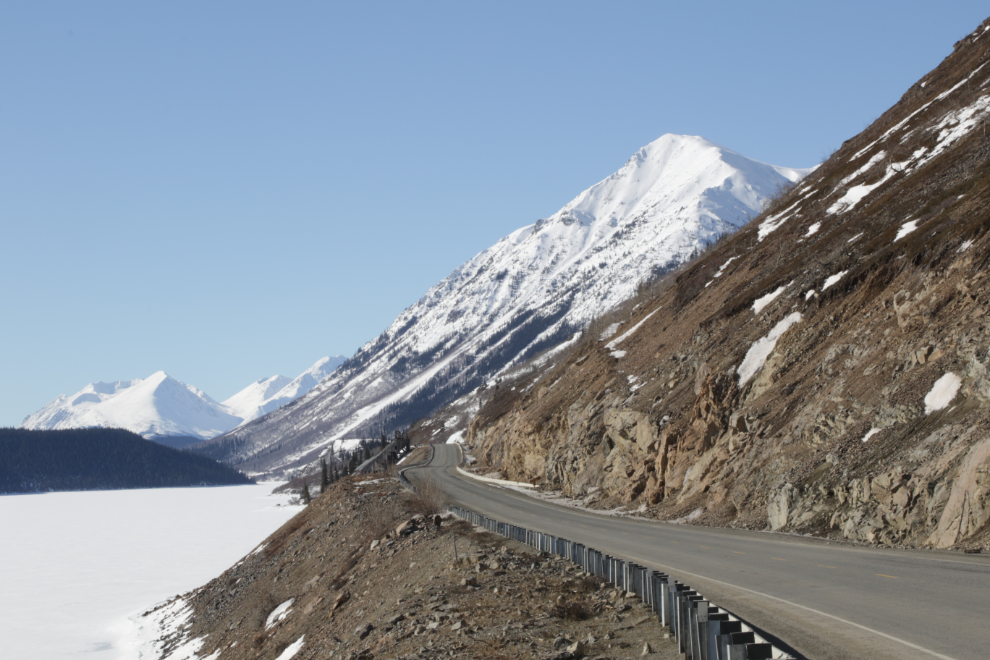
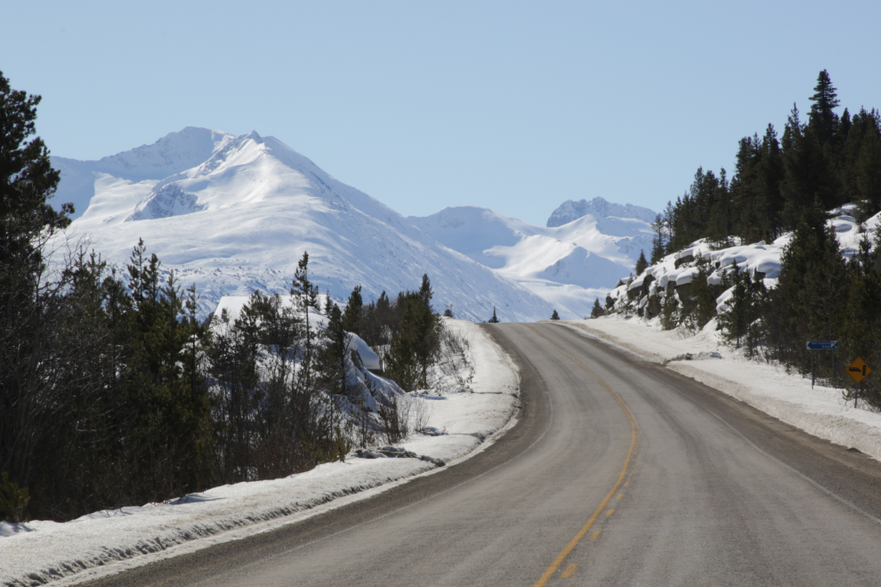
I love this view at Km 75.5, climbing the pass between Windy Arm and Tutshi Lake. That mountain really should have a name, but it doesn’t.
Passing the huge pullout along Tutshi Lake that every tour bus stops at in the summer. Speaking of which, the first cruise ship of the season, the massive (4,004 passengers at double occupancy but can go much higher) Norwegian Bliss, arrives in just over 2 weeks! The 3-ship days don’t start until May 7th, though, and 4 ships starting May 15th.
The next favourite view I came to was the first good view of the peaks of the White Pass, from just north of the Yukon Suspension Bridge – the roof of its restaurant can be seen on the left.
Ptarmigan Point on the railway can be seen below the highway.
I don’t recall seeing the strange geologic feature before, and am of course now very curious about what caused it. Does it have an ice core?
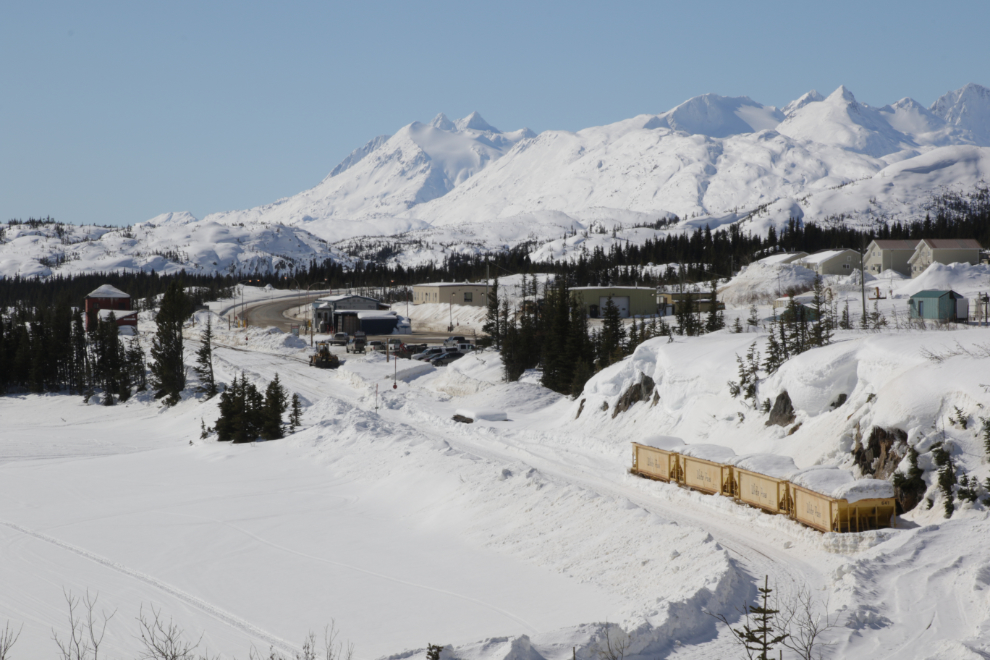
Fraser, BC – in the calm before the storm 🙂
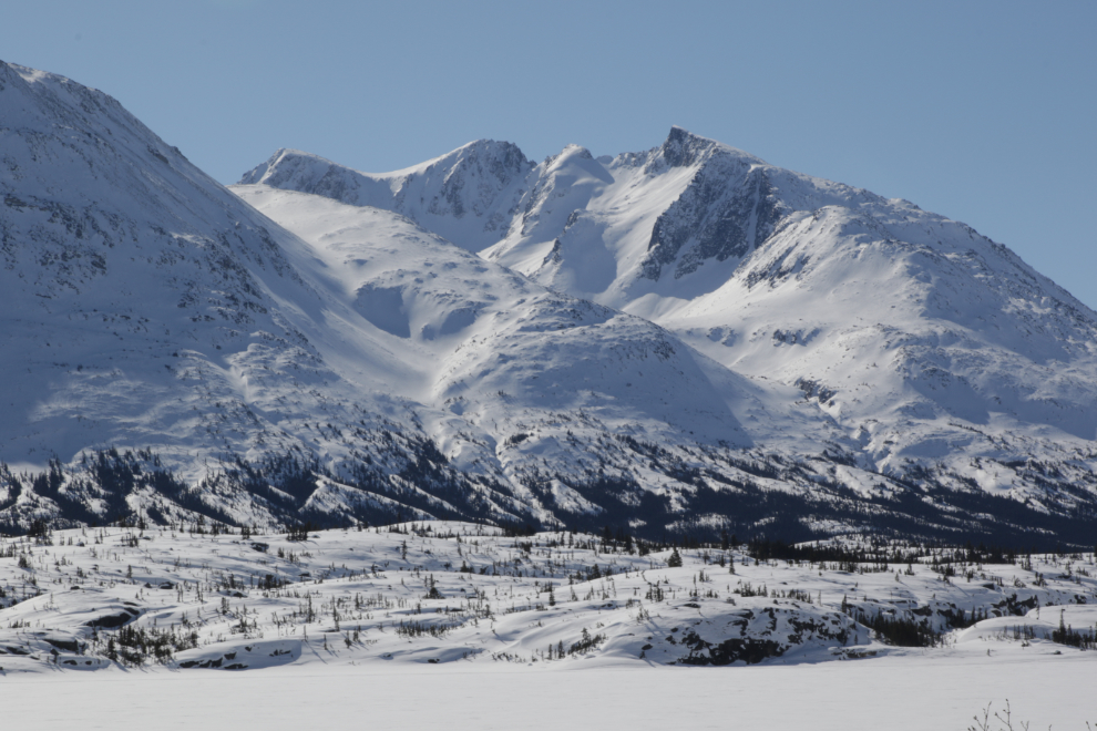
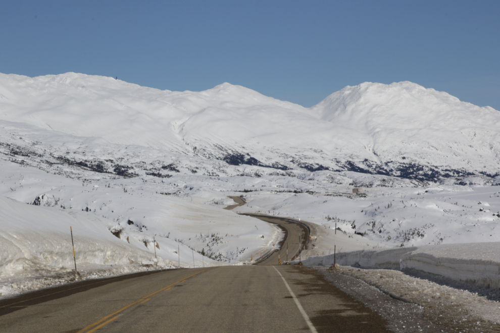
Looking across Summit Lake to the Sawtooth Range.
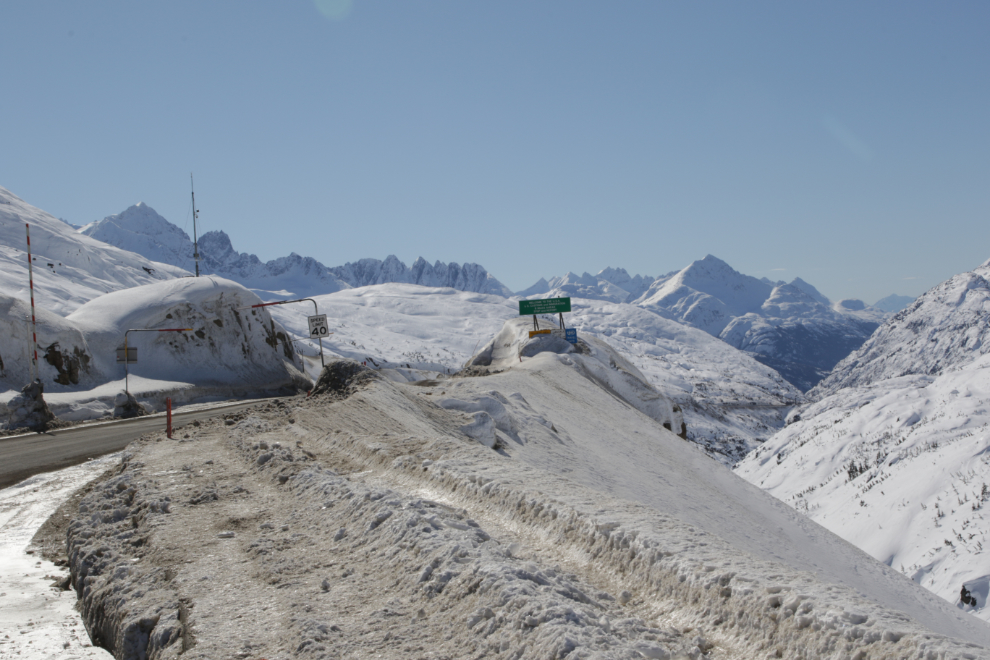
This is where I turned around – that’s the Canada-USA border ahead, and I won’t be crossing that again in the foreseeable future 🙁
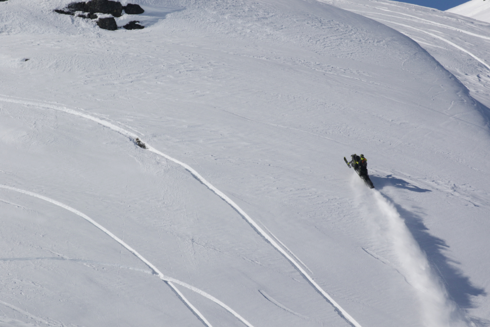
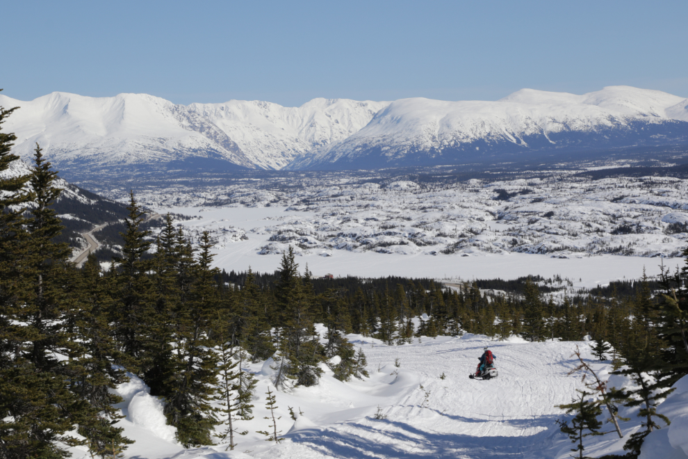
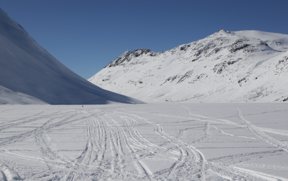
From Log Cabin south, there were a lot of people. Skiers and snowmobilers mostly – probably 100 vehicles in total. With about 3 feet of snow, conditions were truly superb. There was enough of a breeze that, combined with the snowmobile noise, I abandoned my snowshoeing idea. I wanted to hear that whisper…
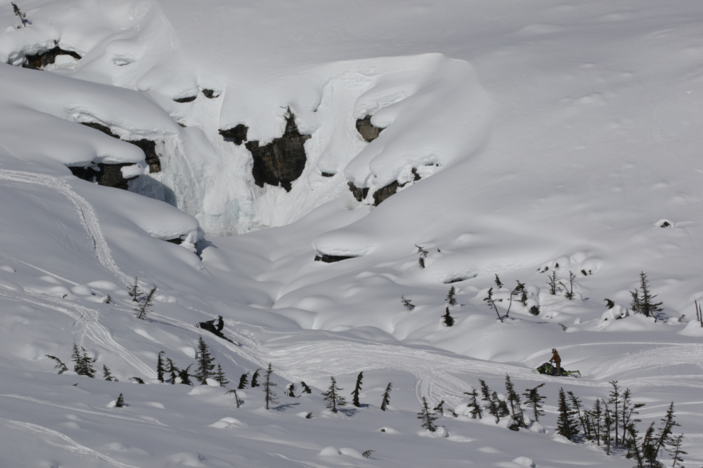
Under that snow and ice is the bottom waterfall on the International Falls trail, which has become probably the most popular trail in the White Pass in recent years.
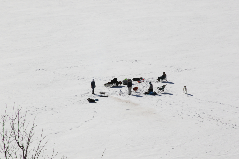
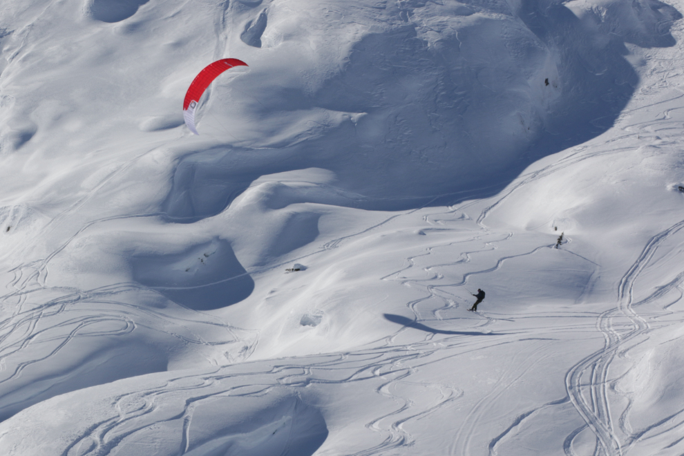
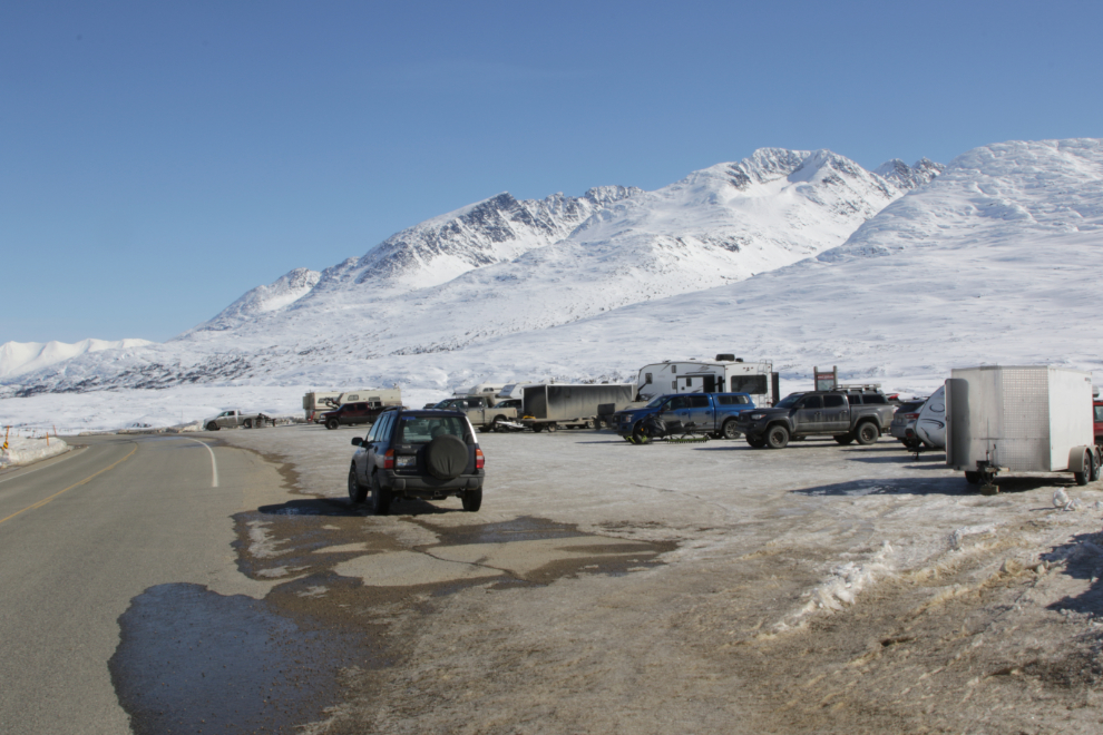
Back down at very busy “Outhouse Hill,” a couple of people were kite skiing – cool!
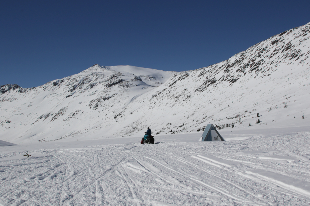
The “Outhouse Hill” parking lot.
Heading back to the north at 1:45, I was trying to figure out a place that would be sheltered from both noise and wind…
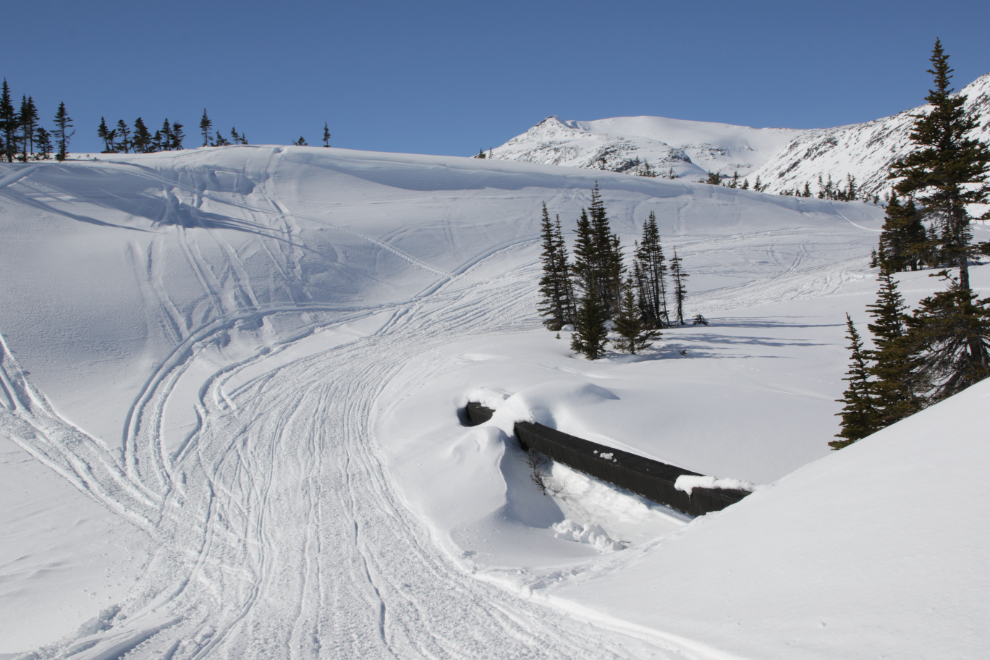
There’s no place to pull over to get a photo of this particularly scenic railway bridge, but I’ve made the walk many times.
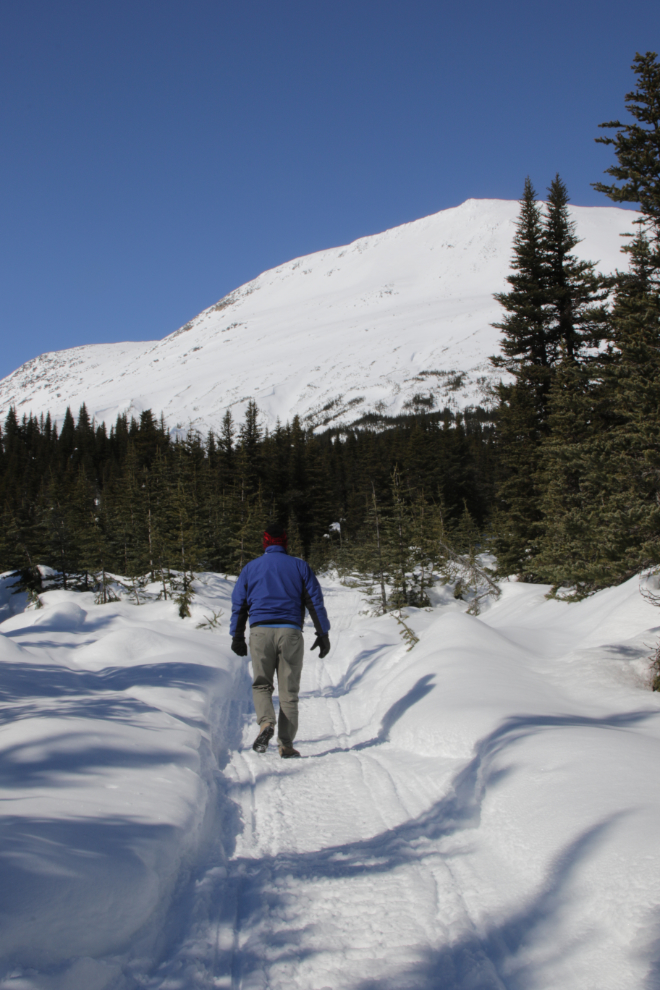
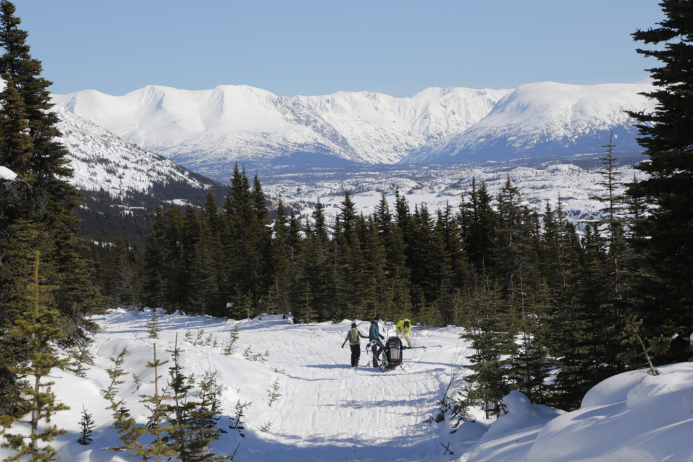
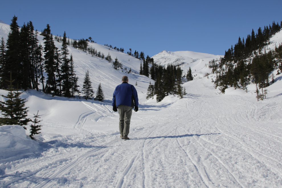
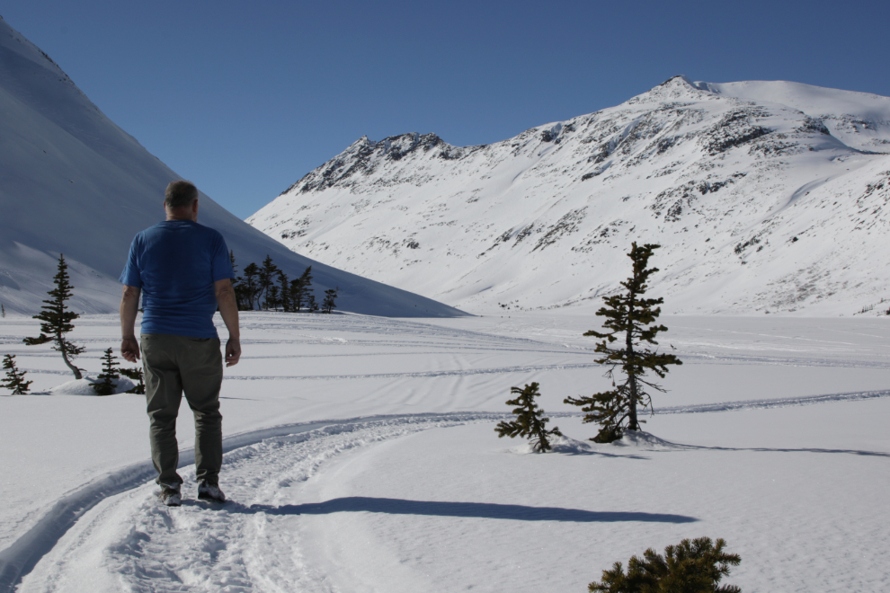
While I was walking back to the car, it occurred to be that the trail to Bryant Lake might be what I was looking for. I’ve hiked it 3 times in the summer, and the “bang-for-the-buck” is very high. As I drove slowly up to the trailhead, I didn’t have high hopes – if the trail wasn’t broken, I wasn’t going to be the one to do it. But, snowmobiles had packed it – perfect!! I was soon headed up.
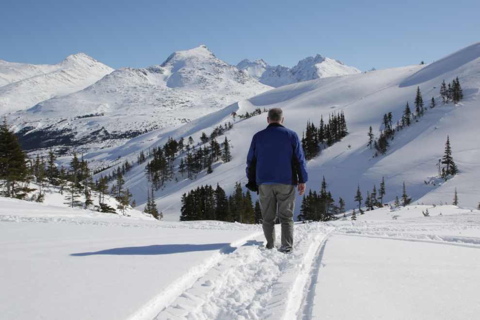
The last photo showed a side trail access – this one shows the main trail, which leads up from Fraser. As you can see, it was much more travelled. The advantages to that trail is that parking is abundant, and you don’t have to mess with Customs. This is looking back down into the valley.
Yes, this is what I was looking for. I was very happy with the decision 🙂
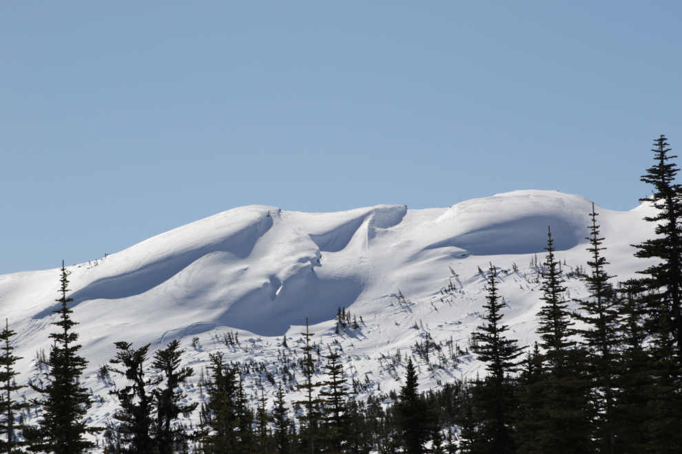
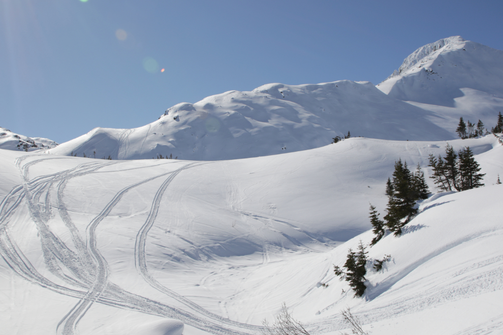
The wind-sculpted snow offered plenty of photo ops.
Looking back down the trail again, with a snowmobile going by on the left. There were a few snowmobiles, but there was plenty of silence between them.
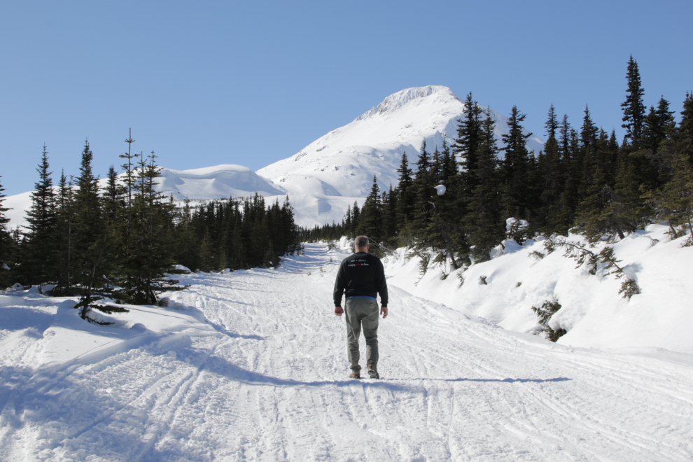
At 2:50 I was high enough to see the highway north of Fraser.
Just me and my beloved mountains – ahhhhhhh… 🙂
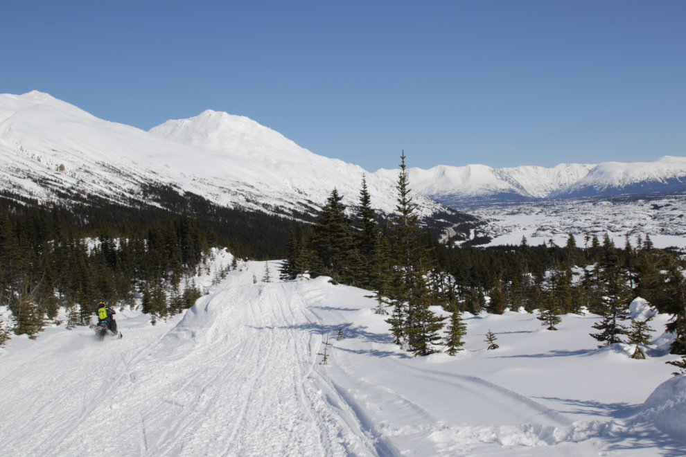
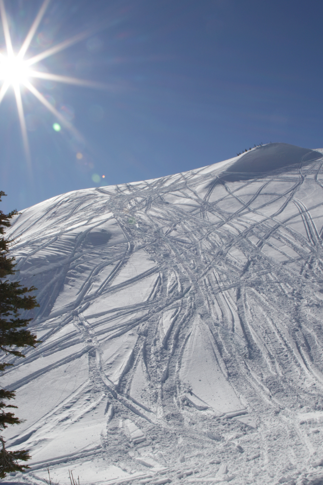
Busy hill! Okay, I do have to admit that it would be nice to see pristine slopes.
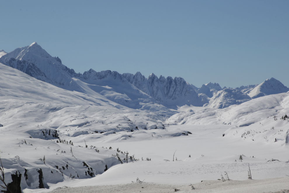
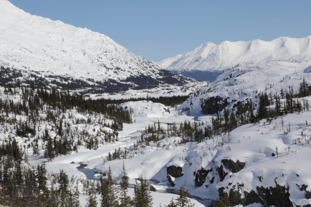
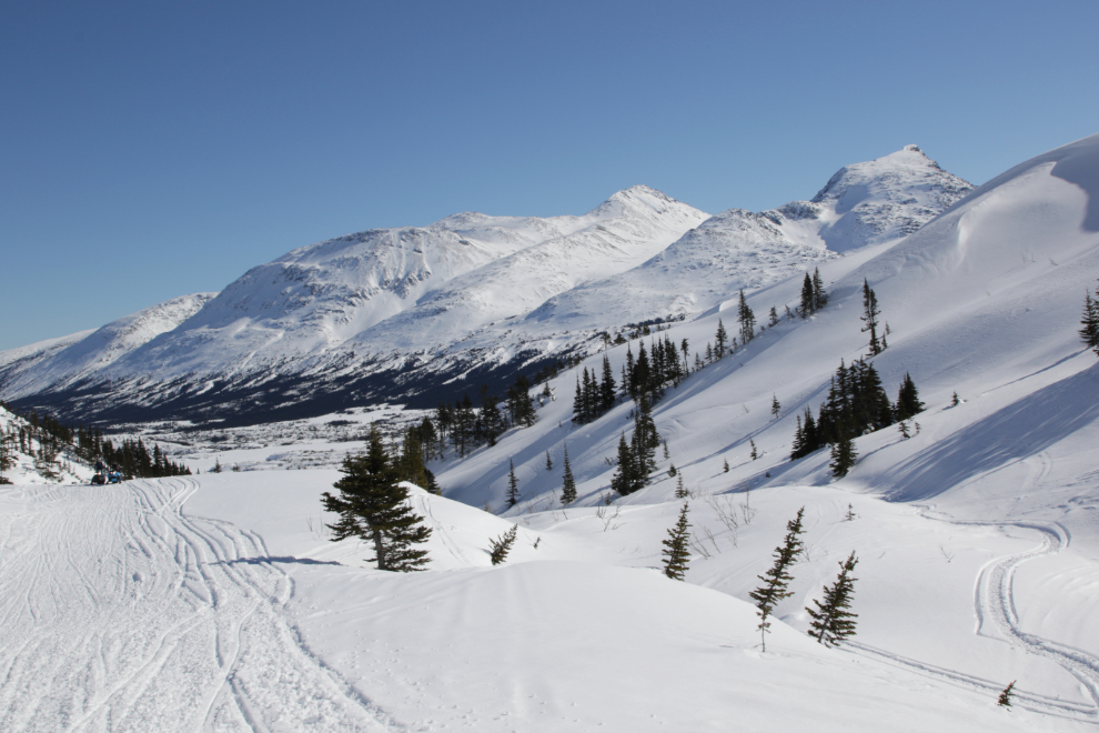
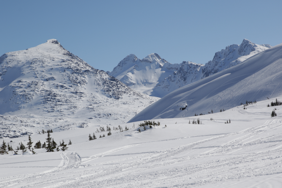
The closer you get to Bryant Lake, the more spectacular the views get.
This creek crossing can be a challenge sometimes, but not in the winter 🙂
I reached the lake at 3:20 – that’s 2.5 km from the highway, with a 280 meter climb.
For snowmobilers, there’s plenty of adventure ahead. I talked to a couple of fellows who had gone right to where the valley drops very steeply down to the Chilkoot Trail. I chatted with another couple of guys who reminded me why I don’t have a snowmobile – one of them had died as he was going by me, and it sounded like it wasn’t the first time on this outing.
I have no words to express how that view makes me feel. The White Pass is my main power place – the place where I recharge by unplugging.
I spent quite a while at the lake, just enjoying the view and the warm sun.
On the way back to the highway, I took a side trail that went above and to the side of the main trail. This was the view from the top of it.
The frequency of photos is often a good indication of how tired I am. The photo above is the last one I shot. But you know, I’m really pleased that I can once again do an outing like that, at 74 🙂