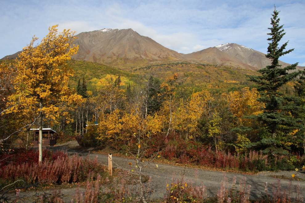
Fall Colours on the Rock Glacier Trail
After 2 nights at Million Dollar Falls Campground, we moved to Dezadeash Lake Campground on Sunday evening, with the idea of canoeing, and hiking the Rock Glacier Trail on Monday.
It was nice to have some variety in campsites as well – Dezadeash Lake only has 20 sites and they’re all fairly small, but most have lake views and easy beach access.
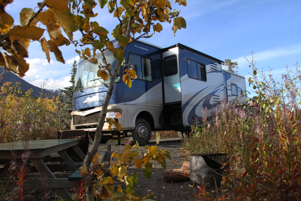
Dezadeash Lake 30 feet or so from our RV.
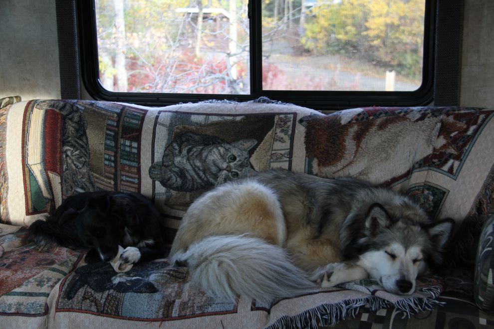
Monday morning was very calm as usual. This is probably the time that I enjoy the most in the RV – it’s a wonderful vibe to start the days off 🙂
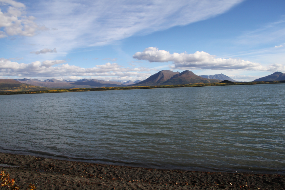
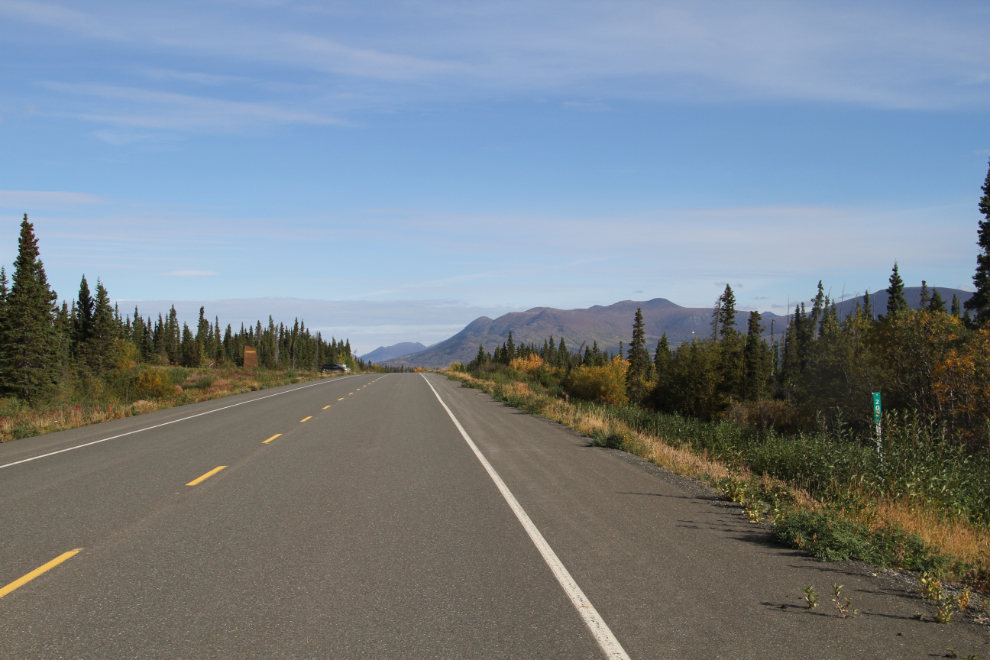
The view from the RV door at 10:00. It was too windy to launch the canoe, so the dogs and I headed out for the Rock Glacier Trail instead – the trailhead is just 6.6 km (4.1 mi) from the campground.
The view to the north at Km 202 – the trailhead parking lot is on the left just ahead. Everything to the left (west) of the highway is within the boundaries of Kluane National Park.
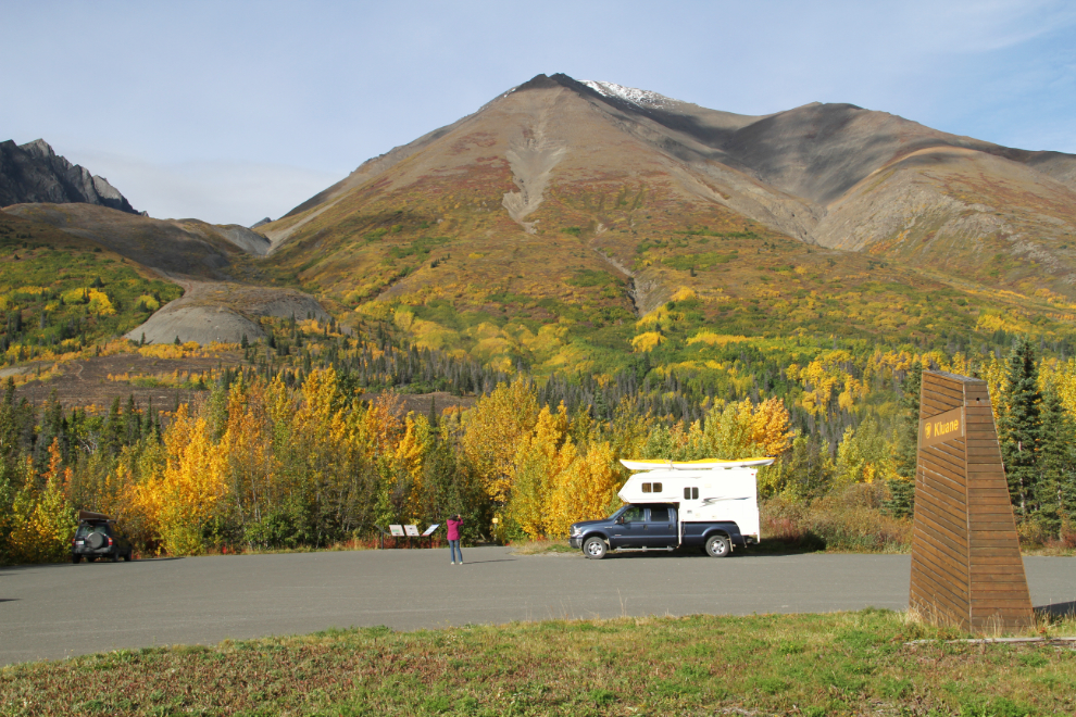
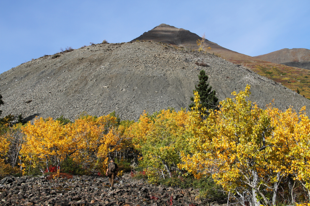
It was a quiet morning at the trailhead, as expected. The woman taking the picture left right after that, and I assumed that the people from the camper were on the trail.
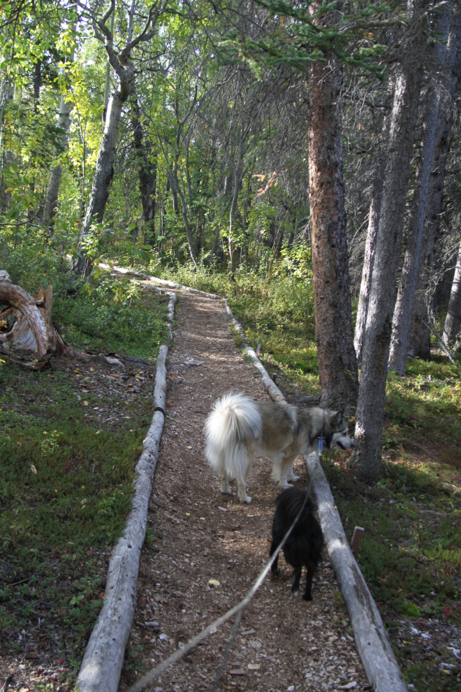
At 10:32, we started up the trail. One of the signs at the trailhead says that it’s a 3.2 km (2 mi) round trip, with an elevation gain of 90 meters (300 feet), which should take between half an hour and 2 hours (that’s quite a range!). I’ll give the exact times I shot many of the photos so you can see how short the trail is, despite having wonderful variety.
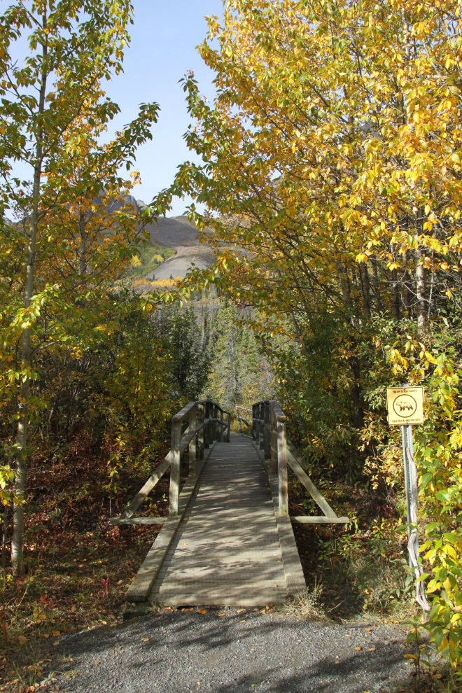
After going through 30 meters/yards or so of forest, a boardwalk takes the trail across a wet area.
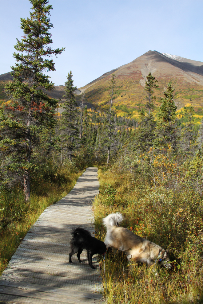
At 10:35, we were back in the forest for a couple of hundred meters/yards.
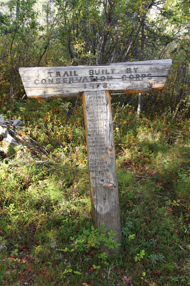
“Trail Built by Conservation Corps, 1978”. This national program was very active in the Yukon in the 1970s. It spun off the Yukon Youth Conservation Corps in 1990, and they continue to do work on various conservation projects in the territory.
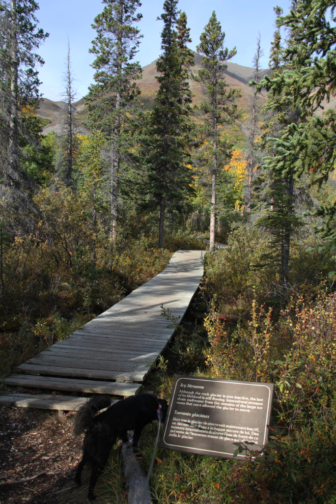
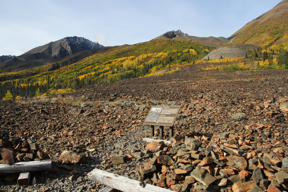
10:36 – the sign in front of the bridge says: “Icy Streams. Although the rock glacier is now inactive, the last of its lifeblood is still flowing. Intermittent streams drain meltwater from the remains of the large ice mass that once allowed the glacier to move.”
Climbing the very steep toe of the glacier at 10:38.
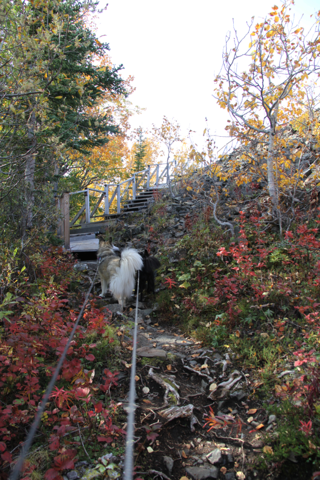
Some sections of the boardwalk and stairs up the toe of the glacier could use some levelling, but it’s not bad yet.
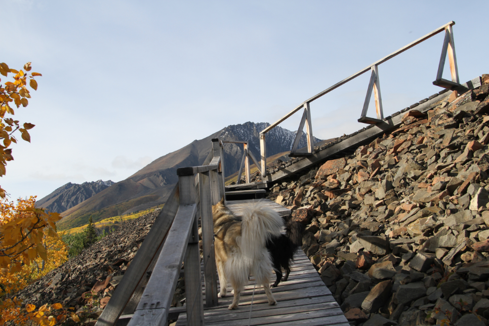
The slope of the toe is very steep.
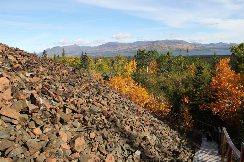
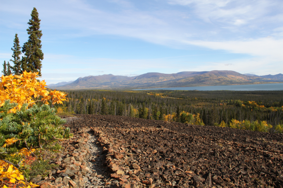
Once on the glacier at 10:39, the broad views of Dezadeash Lake and beyond are wonderful.
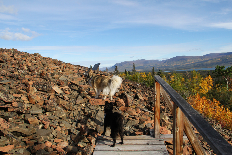
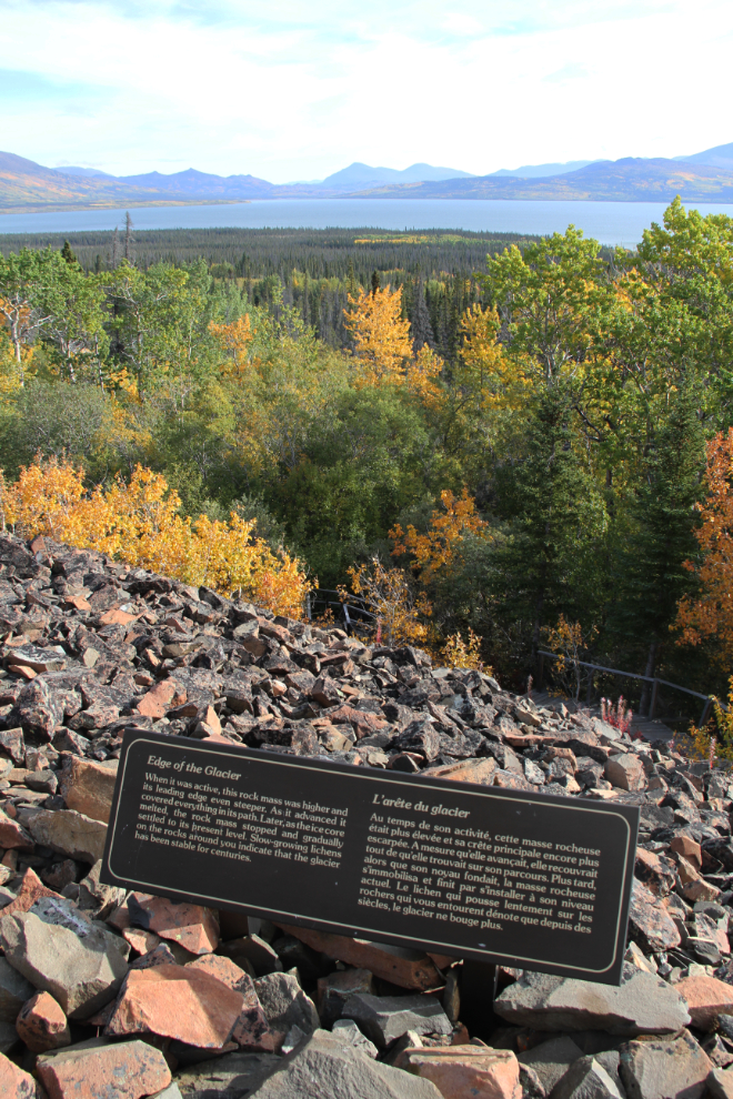
The sign (seen just past Bella in the photo above) says: “Edge of the Glacier. When it was active, this rock mass was higher and its leading edge even steeper. As it advanced it covered everything in its path. Later, as the ice core melted, the rock mass stopped and gradually settled to its present level. Slow-growing lichens on the rocks around you indicate that the glacier has been stable for centuries.”
Climbing across the glacier at 10:44 – the sign says: “Rock Waves. As the rock mass flowed, its surface buckled into undulating ridges because of compression forces. The resulting wave-like pattern is characteristic of all rock glaciers.”
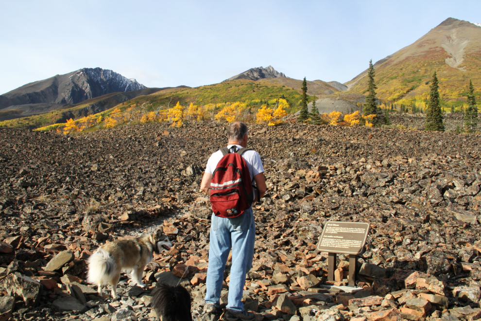
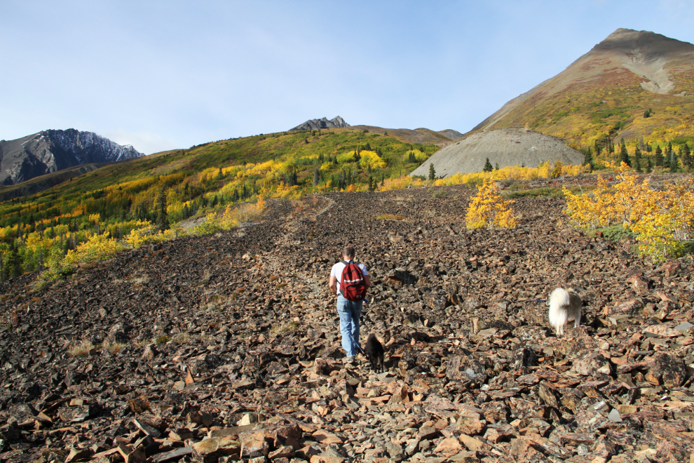
A great deal of rock has been moved by hand to create an easy walking path. Just before I took this photo, we’d met the couple and dog from the camper that was in the parking lot. Once they were clear, I let Bella and Tucker off their leashes.
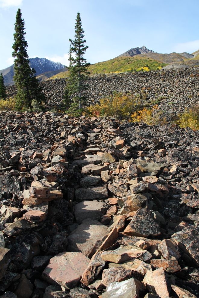
As the views get better and better, the trail zig-zags back and forth across the glacier to keep grades fairly shallow.
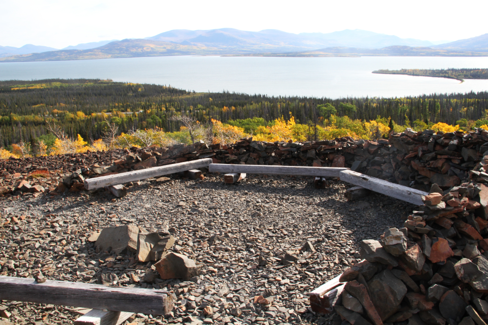
10:49, 17 minutes from the trailhead. This is the viewing area where most people turn around. Over the years, a rock wall has been built on the south side to shield hikers from the winds that often blow here (but weren’t this day).
For those wanting a longer hike, a route runs basically up the middle of the glacier from the viewing area. The sign ahead says: “The Living Rock. A rock glacier is almost alive. Like a ponderous beast it moves, grows and devours forests. Even when it is no longer active, it still gives birth to the lichens and mosses that grow on it. And if you had several hours, you could climb up the glacier over its hard, rough skin and see where it was born from the bare rock and old glacial ice amid the rugged peaks of the St. Elias Mountains.”
Up and up we continue, at 11:01.
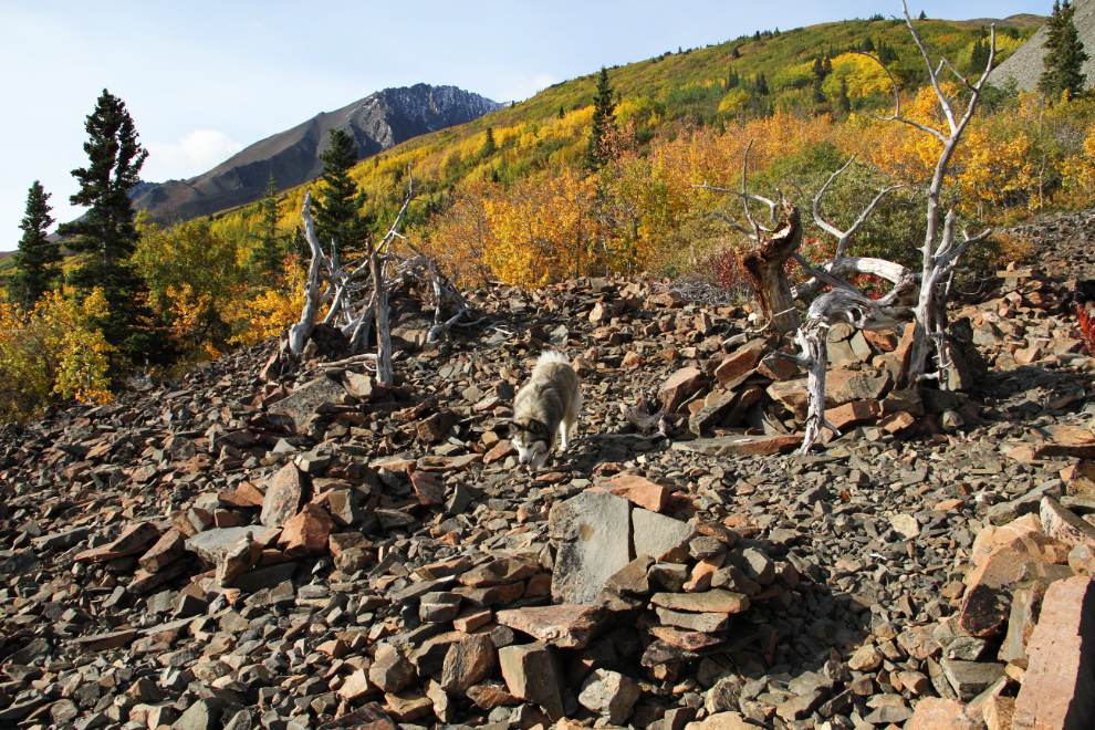
At 11:14, we reached the highest point we’d hike to this time – I don’t find the route beyond here very rewarding for quite a while. I found it interesting that, while some “traditional” cairns had clearly been toppled and the rocks spread around, other hikers have built chairs by piling rocks.
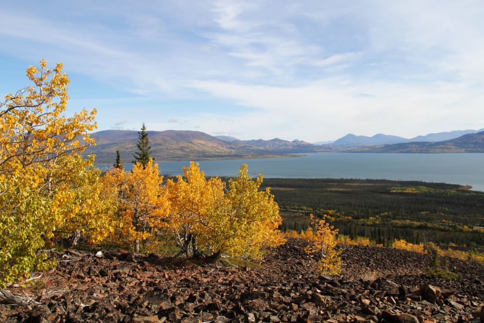
The view from the point where we turned around.
While we were at the top, a young European guy arrived, and continued up the slope – he can be seen towards the lower left of the photo.
The walk back down to the car was much quicker – we reached it at 10:38, and hour and 6 minutes after leaving it. The trail provided a great start to the active part of the day.