A look at Whitehorse from the airport trail
Arguably the most scenic walking trail in Whitehorse is the one along the airport property overlooking the city. It’s also one of the least-used, and those two things together make it one of my favourite places for long walks. On Wednesday I took advantage of a sunny and reasonably warm day to put on about 6 miles with Monty and add many photos to my city and aviation collections in particular.
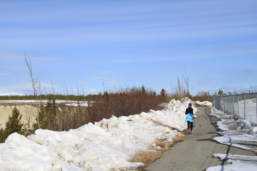
The first mile or so of the trail is wide and paved, and as a result is the most heavily-used, but even then I only saw 3 people in the 3 hours I was walking, the first being this jogger.
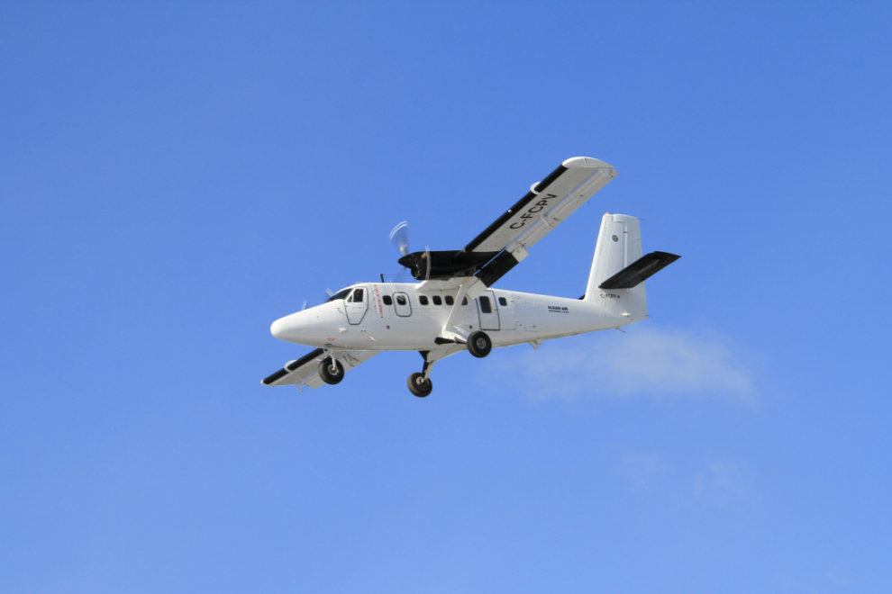
A few hundred yards after leaving the parking area beside the Alaska Highway, the trail passes closes to the threshold of Runway 13R, and offers good viewing of aircraft landing when there’s a south wind. This is C-FCPV, Alkan Air’s 1973 De Havilland Canada DHC-6-300 Twin Otter.
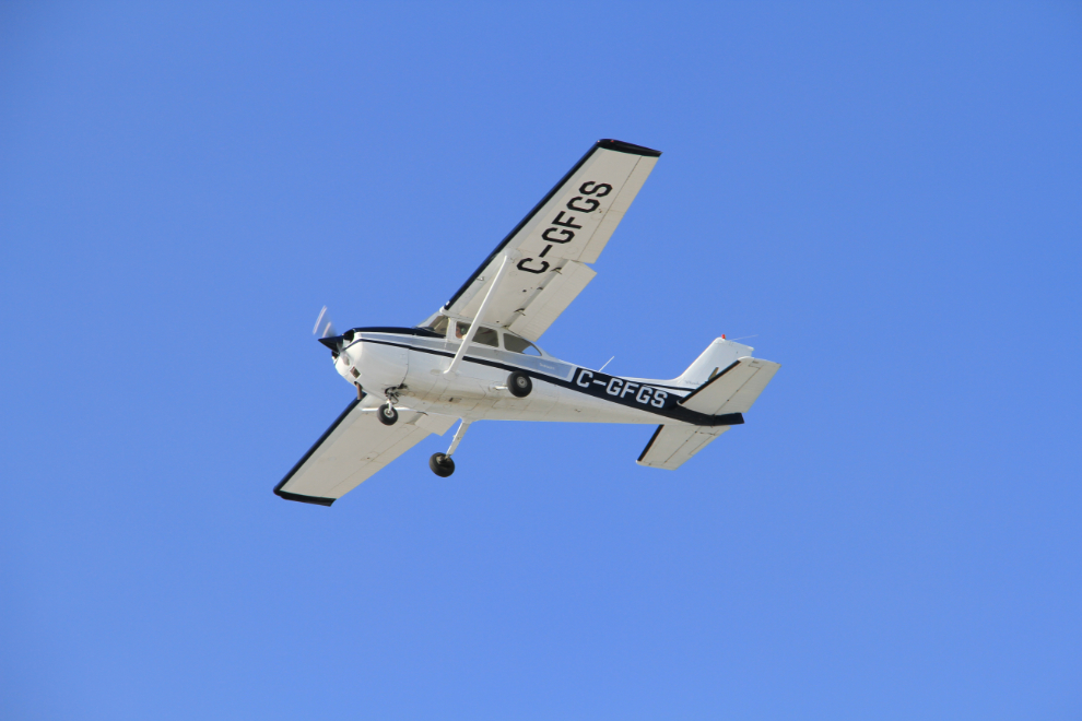
A student pilot and instructor were doing circuits with Whitehorse Air Service’s 1976 Cessna 172M Skyhawk, C-GFGS.
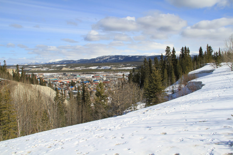
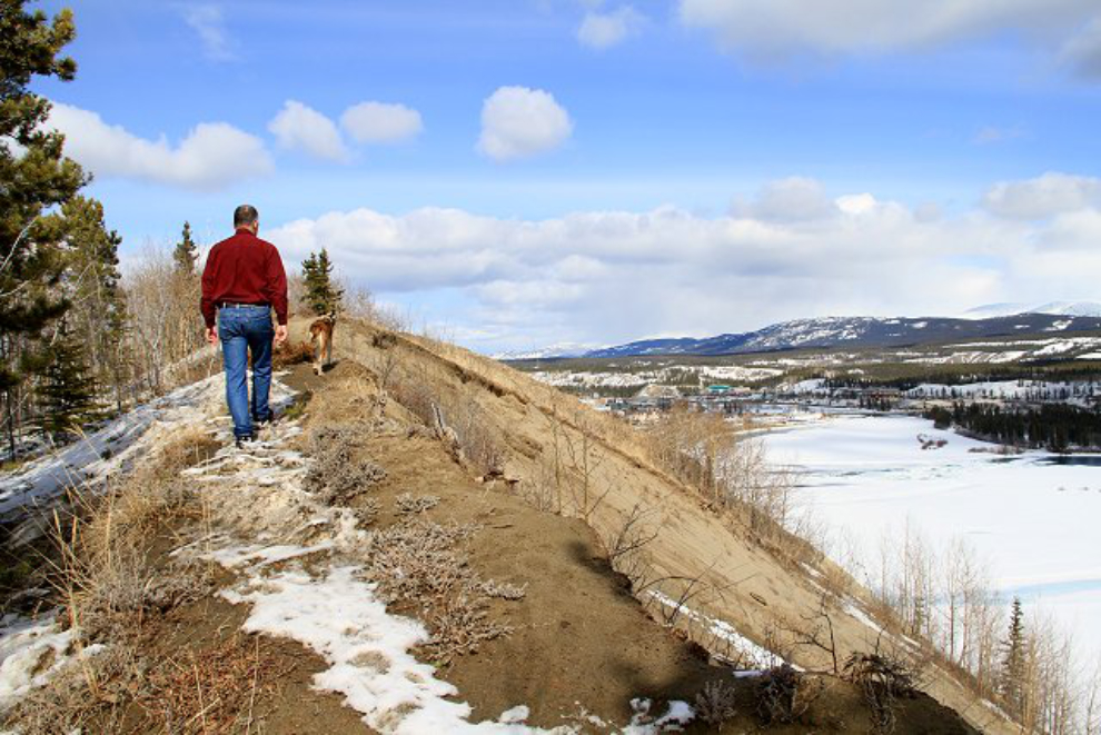
From the north end of the airport, the trail has a few options – you can head northeast into the forest and then onto the edge of the “clay cliffs”, you can continue on the paved path, or you can walk along the edge as I was doing in this photo.
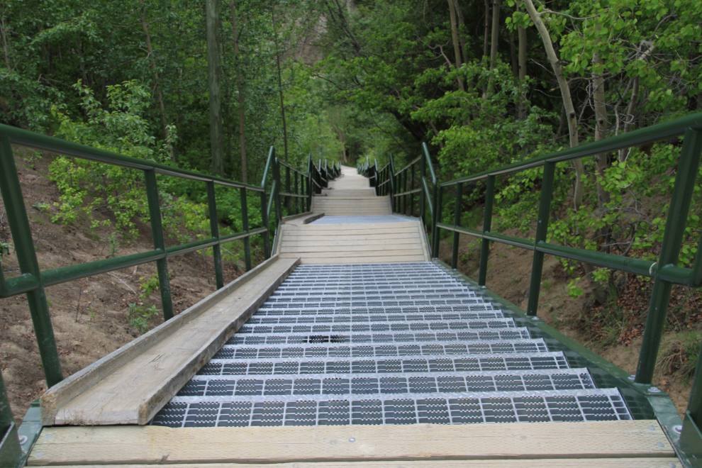
The paved path ends at the Black Street Stairs which take you downtown, to the west end of Black Street. The stairs, seen here in the summer, are commonly used as part of a training regimen – tough to beat for building up your hamstrings. The stairs are very tough on dog feet because of the ice grips, though, so I can only go there when Monty isn’t with me.
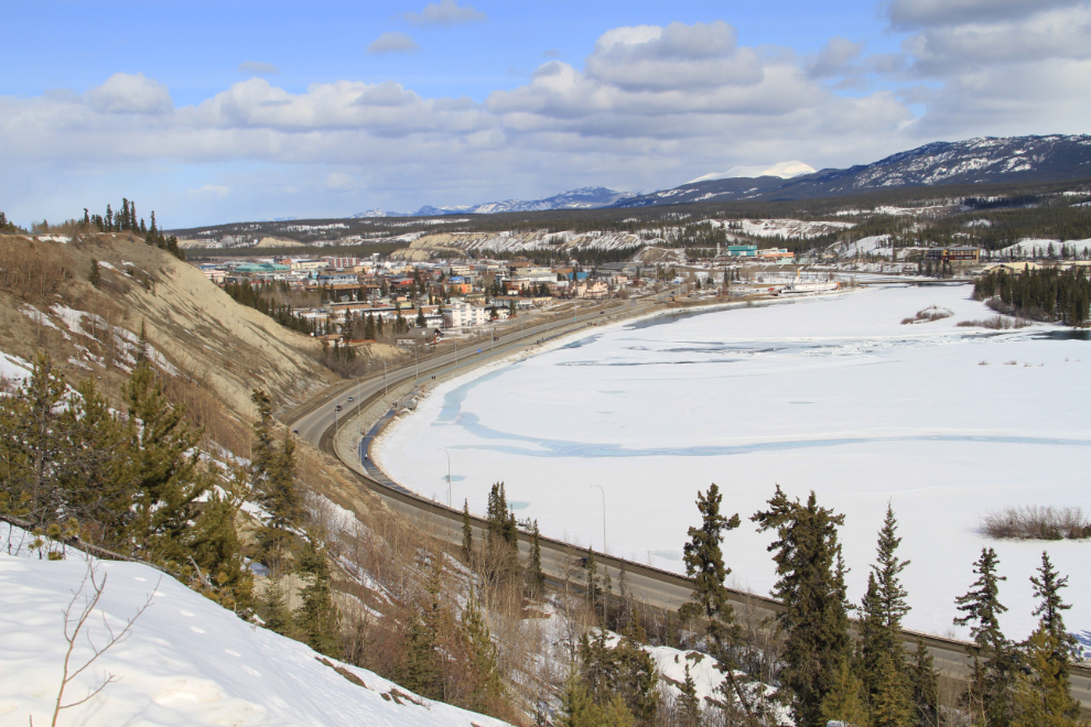
This is a great walk to keep an eye on the city’s development. Among other things, this shot looking north down the Yukon River shows some of the condos that have been built along the river in recent years.
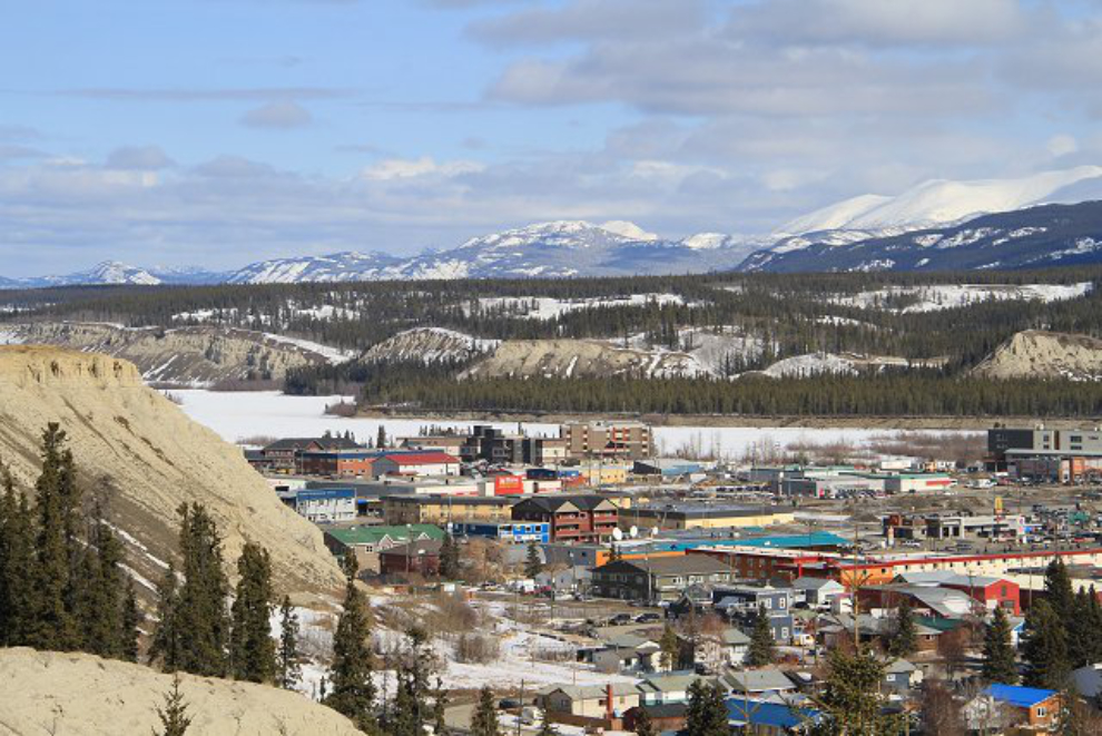
“The View” on Main Street is one of the newer condos in town. I see that there’s a 1-bedroom unit in that building currently available to rent for $1650/month. This is the new Whitehorse, the land of expensive housing.

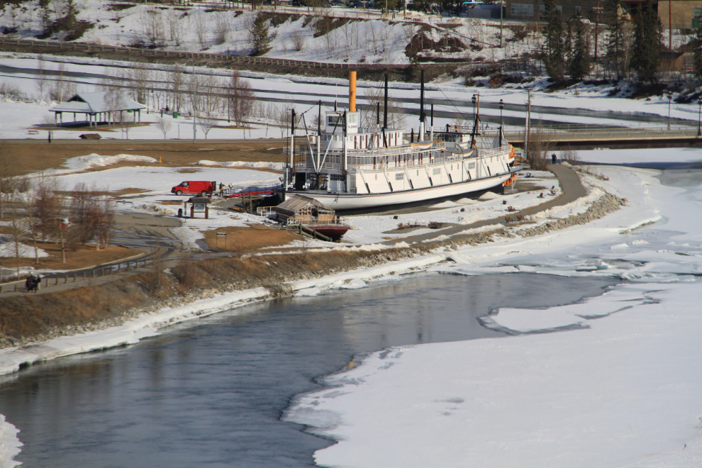
Towards the south end of the airport there are some great views of our restored sternwheeler S.S. Klondike. I was pleased to see a Parks Canada van backed up to it, getting ready for summer tours – budget cutbacks had made it look like there would be no tours this year, and I still haven’t seen confirmation that there will be, but this looks positive.
The power dam, Schwatka Lake and Mount Lorne, looking south from the south end of the runway.
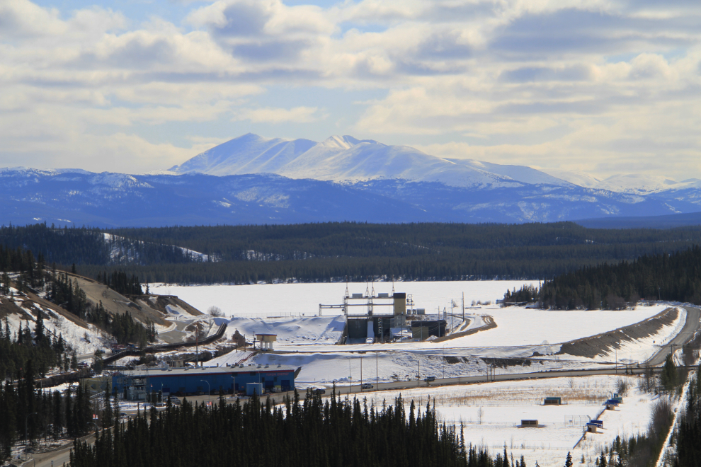
Historically this part of the Yukon River was known as Big Bend, but I haven’t seen the term used in many years.
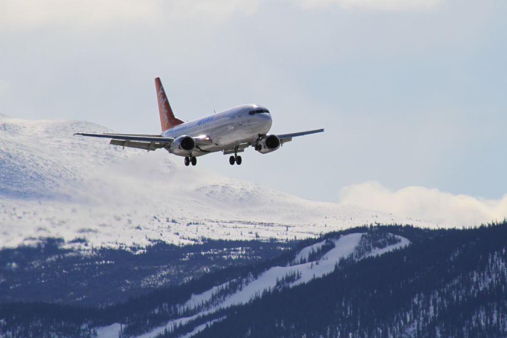
C-FANB, Air North’s 1992 Boeing 737-400, arrives from Vancouver. That’s the Mount Sima ski hill below the plane.
Three miles down, heading back to the car on a slightly different path. Shortly after taking this photo, I surprised a bald eagle who had been sitting on a treetop about 30 feet from me – I didn’t see him until he flew off and wasn’t nearly quick enough to get a photo.
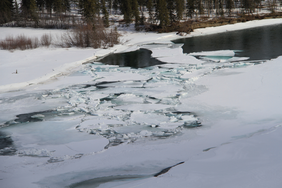
Spring is barely starting, but the river should start opening up more fairly soon now.
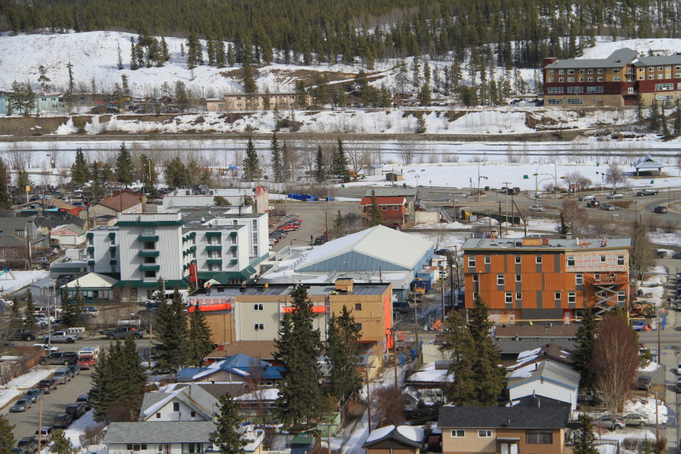
Two more condos are being built at the south end of Second Avenue in the already-saturated Whitehorse market. The last one completed seems to have given up trying to sell more units and is now trying to rent them, and yet the largest development yet is nearing completion and units have sold fairly well, with 943 square feet on the top floor priced at $376,000.
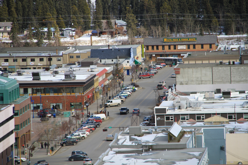
Looking down Main Street, with the historic White Pass & Yukon Route railway station still the anchor building (though the last train to Whitehorse was almost 40 years ago).
That was a great start to my exercise program for the Spring – 6 miles in 3 hours, getting home with a very happy dog 🙂