Spring exploring: the Kusawa Lake Road
Spring makes me crazy to get out of the house, and Friday (April 5th) looked like a good road-trip day, so Monty and I headed west on the Alaska Highway. It was -21°C (-6°F), sunny and windy when we left the house just after 9:30 – great for car-touring, not so great for being out walking. I thought that Kluane Lake would be a good destination for the day, but it didn’t turn out that way.
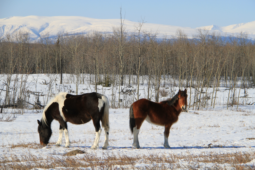
The little band of feral horses was beside the highway again, this time right at the Km 1474 milepost.
We stopped at the Takhini Burn Rest Area at Km 1487 for a few minutes to give Monty a run.
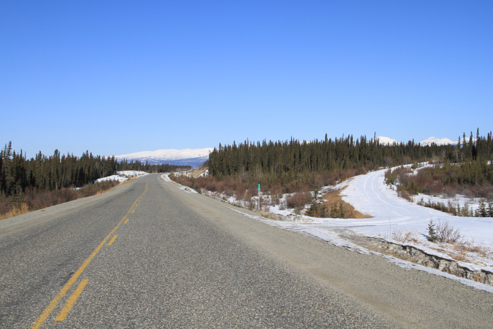
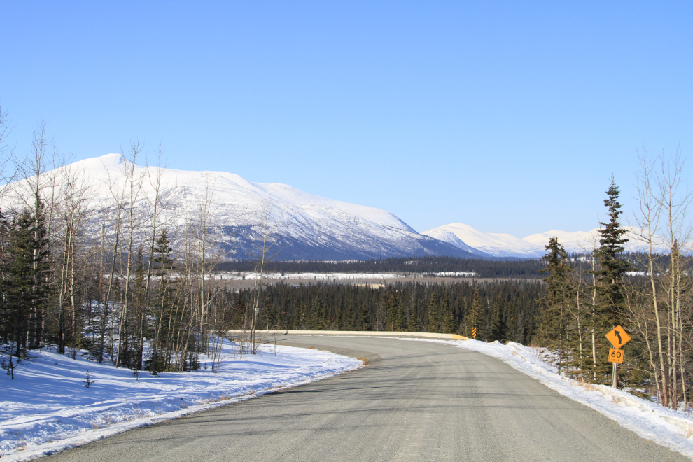
This is the view west (north if you like that term better) right at Km 1500, with an old still-driveable section of the Alaska Highway wandering off for a mile or so.
The valley of the Mendenhall River, which is a surprisingly small stream to be in a cut like this. Perhaps when the glaciers melted it was a sizeable river.
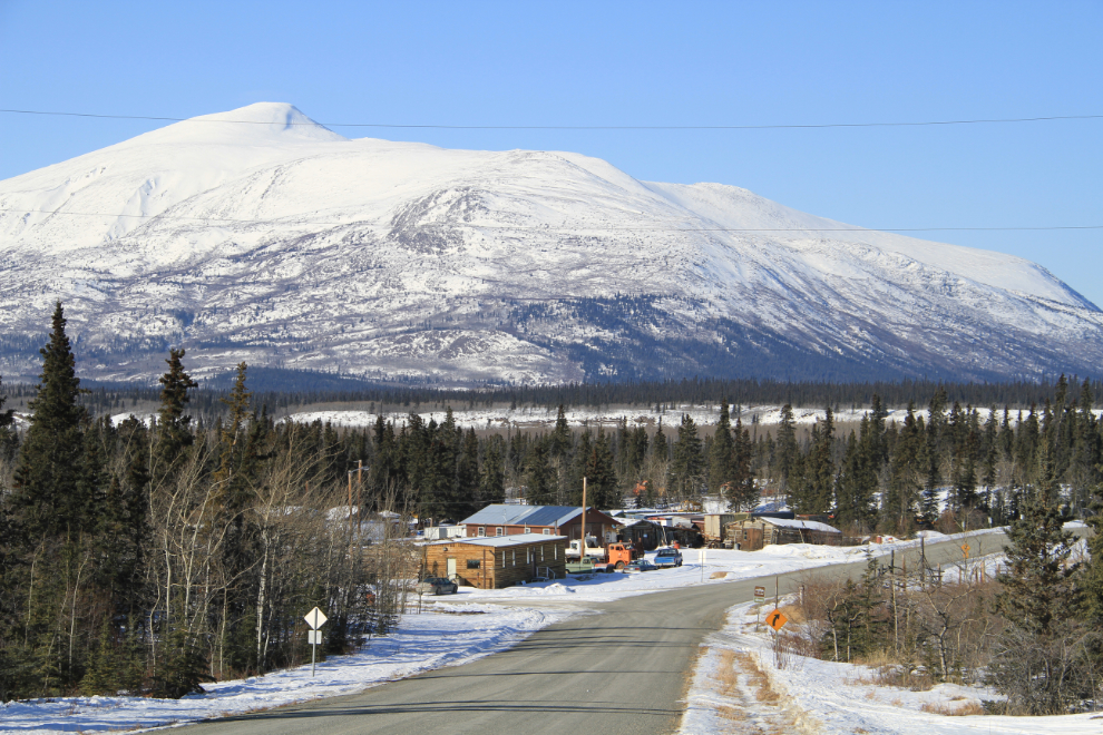
As usual when I’m just wandering, I took the turn to the village of Champagne, along the old Alaska Highway. This view is to the west from near the top of a large glacial moraine that the road crosses – the old road was so much more interesting!
Dropping down to Champagne.
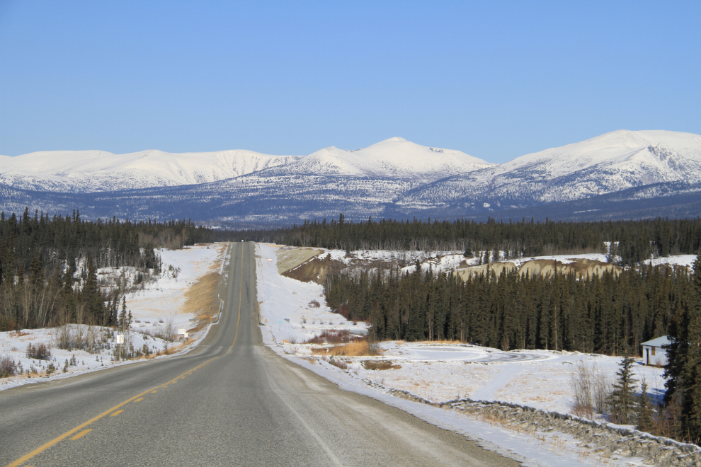
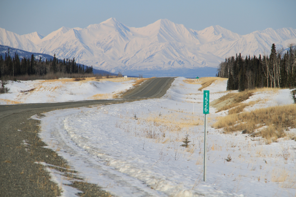
Another significant milepost, this one just for beauty.
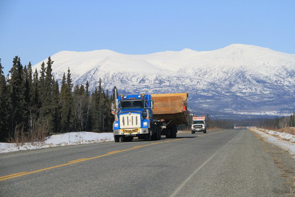
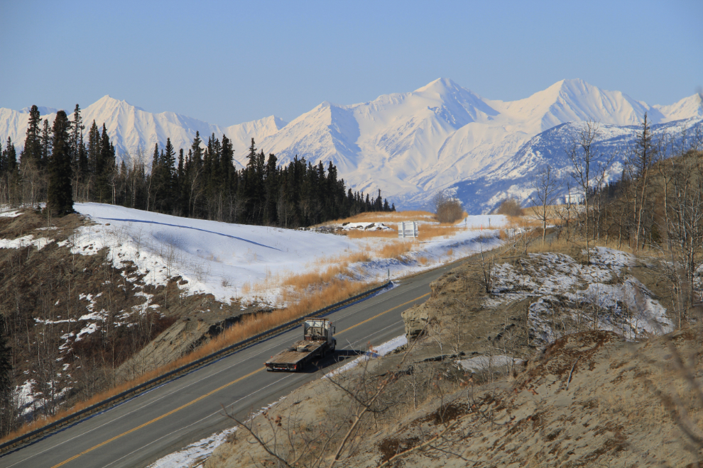
This semi hauling a very large mining truck box not only had the expected pilot cars in front of and behind it, but a Commercial Carriers Enforcement pickup with its emergency lights on for some reason.
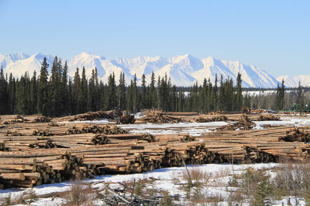
The log storage area for the mill at Canyon Creek was going full-tilt, with trucks getting as many logs as possible out of the bush before breakup.
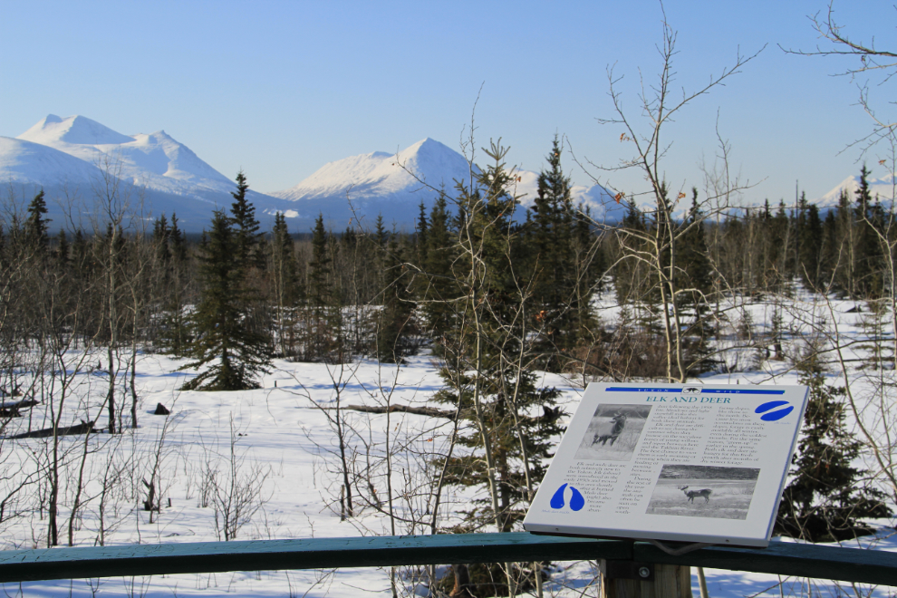
I was going to make my usual stop at the Canyon Creek rest area for a walk, but a bus full of river guides was doing training there, so I continued on another half-mile and we walked back towards the creek from the top of the ridge. It’s actually more scenic this way.
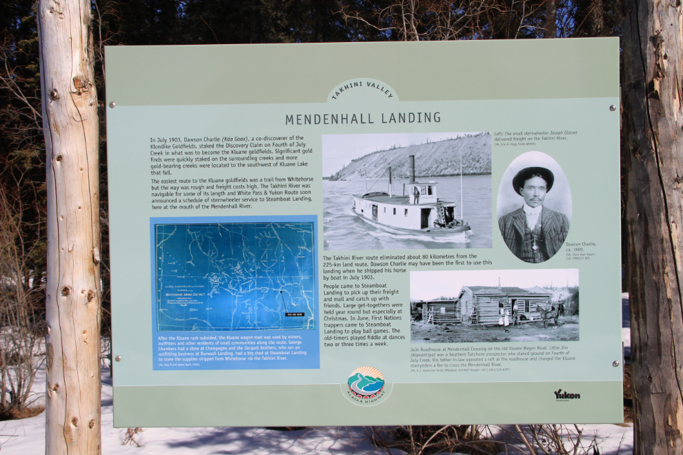
While having lunch at Otter Falls Cutoff, I decided that instead of going all the way out to Kluane Lake, we’d go back and see what the Kusawa Lake Road was like, as I hadn’t been down there in quite some time. Our first stop was at Mendenhall Landing, or Steamboat Landing, at Km 3. The easiest route to the Kluane goldfields back in 1903-1906 was a trail from Whitehorse, but the trail was rough and freight costs high. The Takhini River was navigable for some of its length and White Pass & Yukon Route soon announced a schedule of sternwheeler service up the Takhini to this point at the mouth of the Mendenhall River.
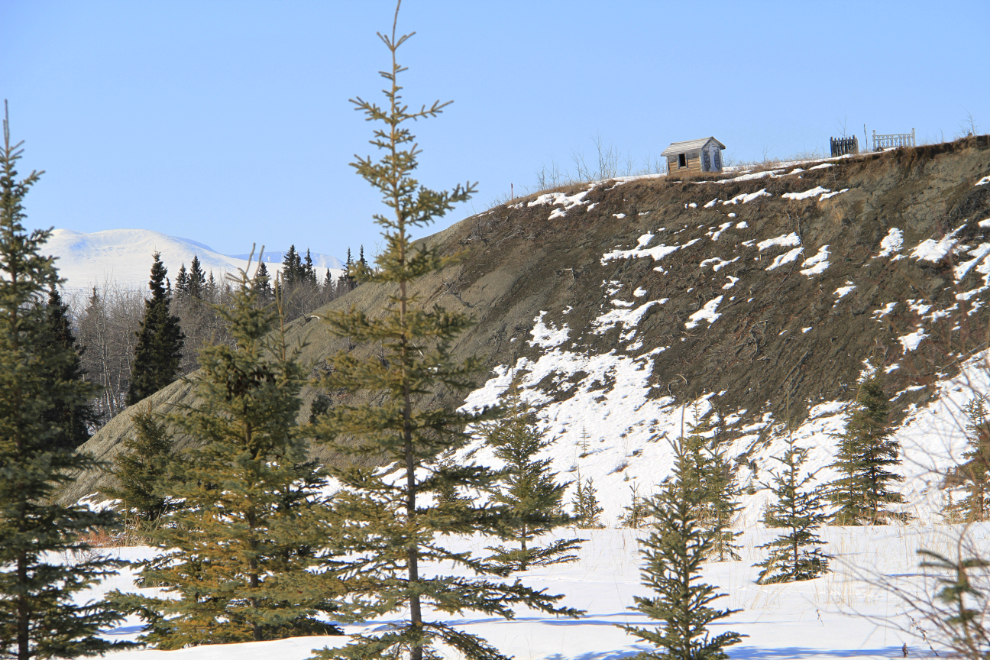
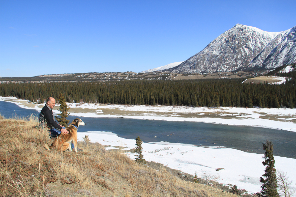
Several Indian graves sit on top of the ridge above the Mendenhall River.
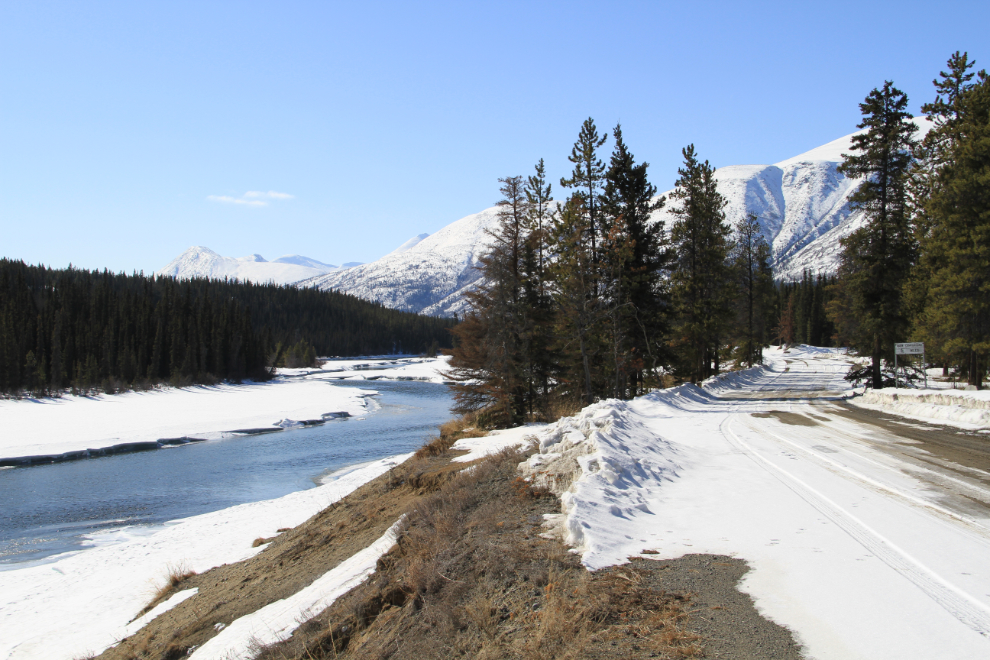
Spring in the coastal mountains (that is the Boundary Range ahead) is so pretty! This is looking up the Takhini River from the small 13-site Yukon government campground at Km 15.
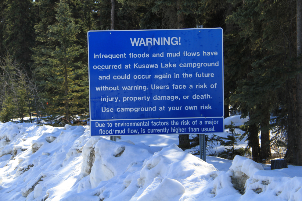
There are several of these warnings signs at the main campground at Km 24, installed after a major flood in 2007. It was caused by conditions similar to the ones that caused another flood in 1982: “Throughout the summer of 1982, the persistence of above average precipitation within the Kusawa Lake region caused permafrost thawing and hillslope failure in the basin above the alluvial fan.”
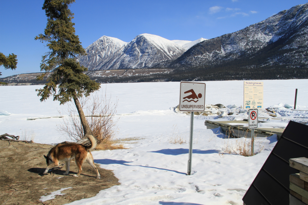
The boat launch at the campground. With no lifeguard present, I decided not to go swimming 🙂
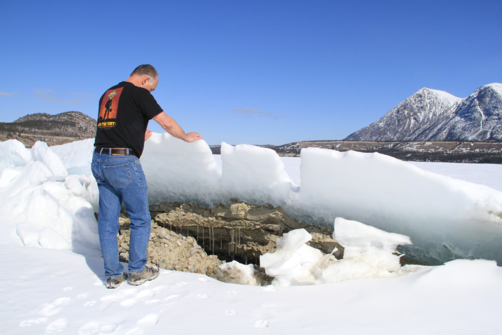
This ice pressure ridge was on the lake just offshore.
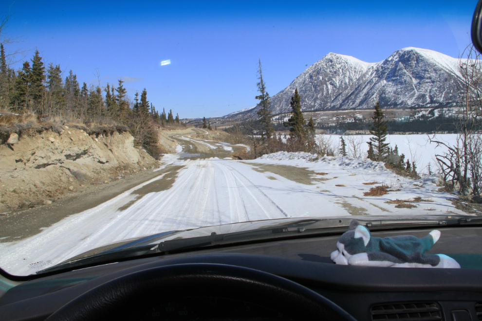
Heading back along the lake towards the highway, with my little buddy Nanook on the dash.
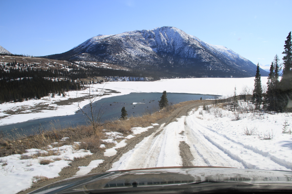
We took a little detour down to the head of the Takhini River to enjoy the sun for a while longer.
Yukon Spring at its finest! The wind in the open areas still has quite a bite to it, though.
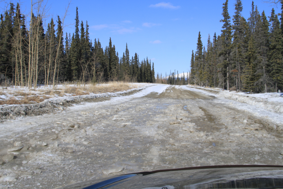
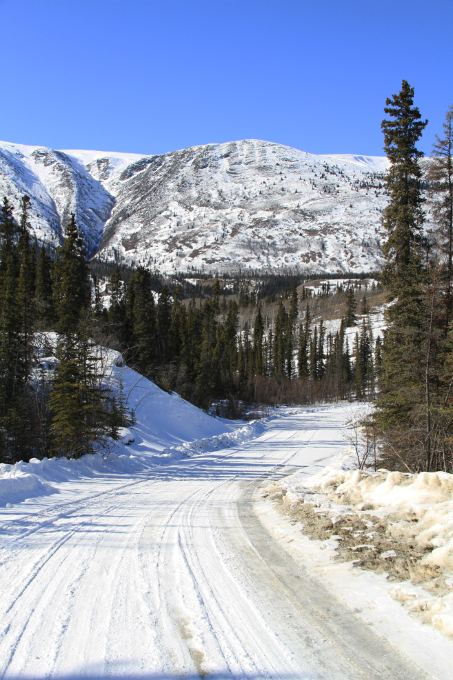
There are a few sections like this along the road that I expect will make it impassable for anything but high-clearance 4x4s for a few days once it warms up.
On the northern section of the road, there’s still lots of snow.
Another fine day of exploring. In a few minutes, Monty and I are off to Skagway 🙂