A day trip to Keno City, Yukon
I hadn’t planned on going to Keno City, but things just happen sometimes. A friend of mine from Keno was medivaced to Whitehorse a few days ago, and when that happens, how you get home is for you to figure out. There’s no public transportation of any kind, so I offered to drive him home when he got released – it’s only 1,026 kilometers from my house to Keno and back 🙂
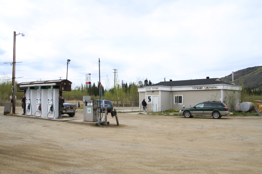
I got a call from my friend at about 9:00 am on Monday, so I had a quick breakfast and headed into town to pick him up. We had to make a few stops, so didn’t reach my first fuel stop at Stewart Crossing until 2:45 pm. Gas can get pretty pricey up here – it was $1.54 per litre for regular.
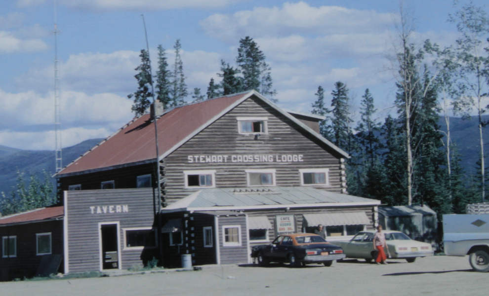
When I started driving the North Klondike Highway in 1990, this is what the lodge at Stewart Crossing looked like. I had many a good meal in that place and was really sorry to see it torn down in May 2000.
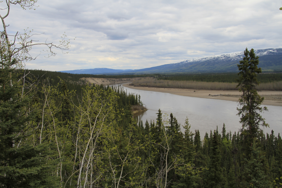
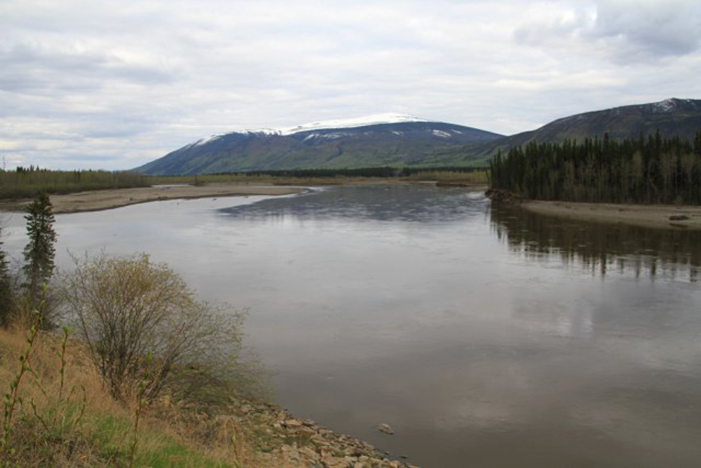
From Stewart Crossing, the road called the Silver Trail leads east through Mayo, a total of 112 km (70 miles) to Keno City. A good view of the Stewart River, at 3:00 pm.
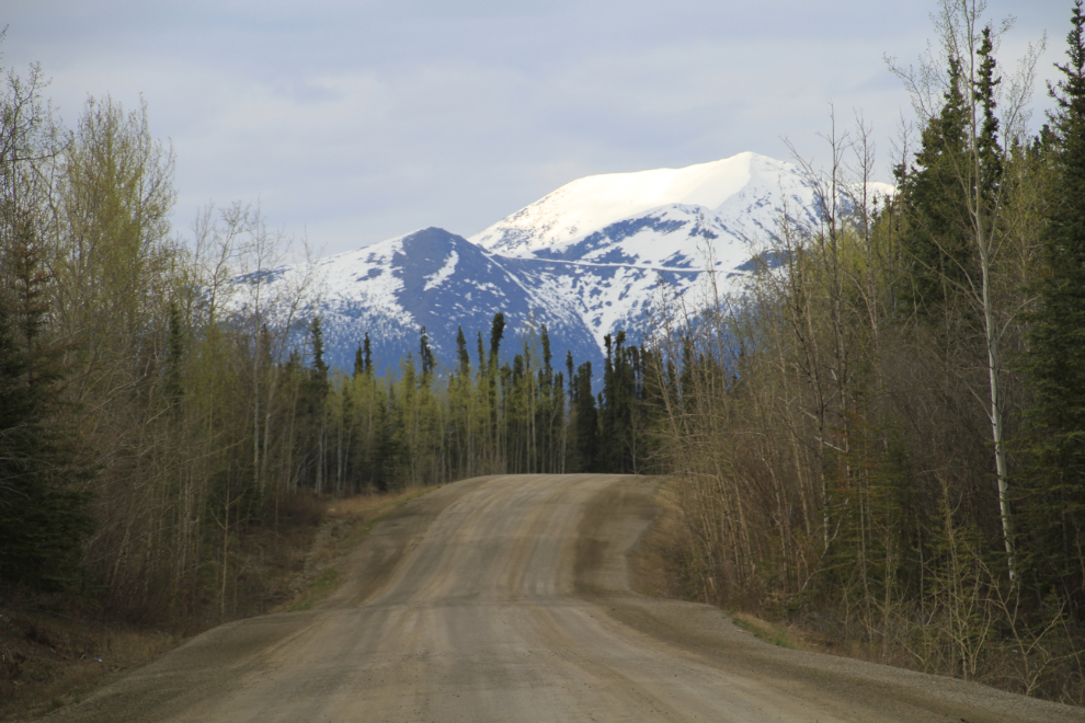
Mount Haldane from Km 66. The road that’s visible is driveable for about 2 miles, then turns into a hiking trail that leads about 4 miles to the 1,836-meter summit (6,023 feet).
Mount Haldane from near Km 74.
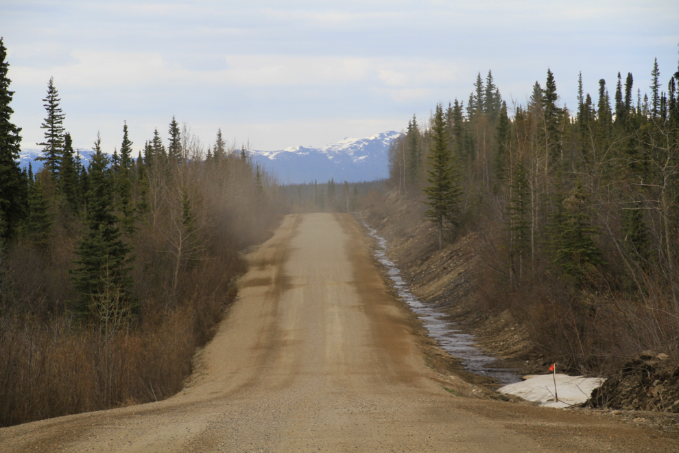
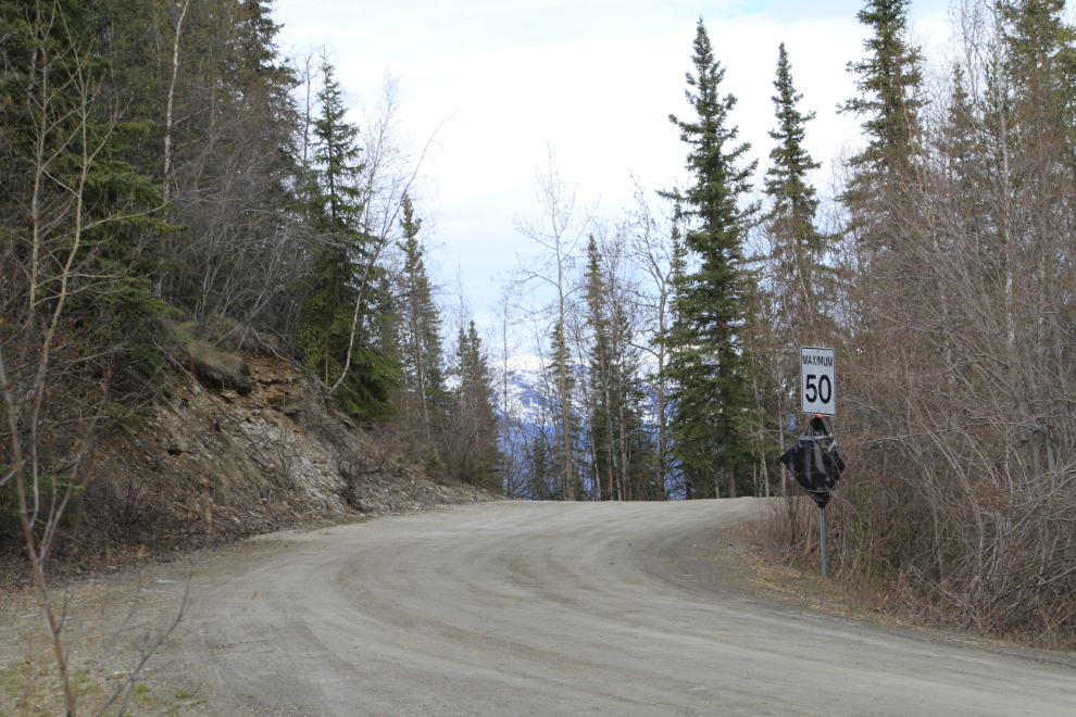
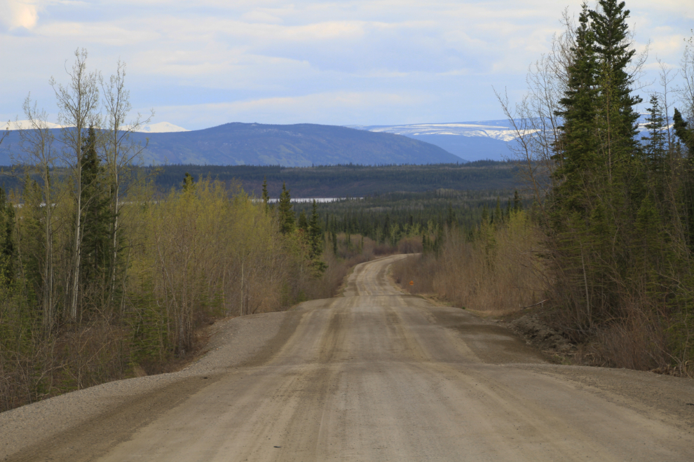
The condition of the road near Km 74.
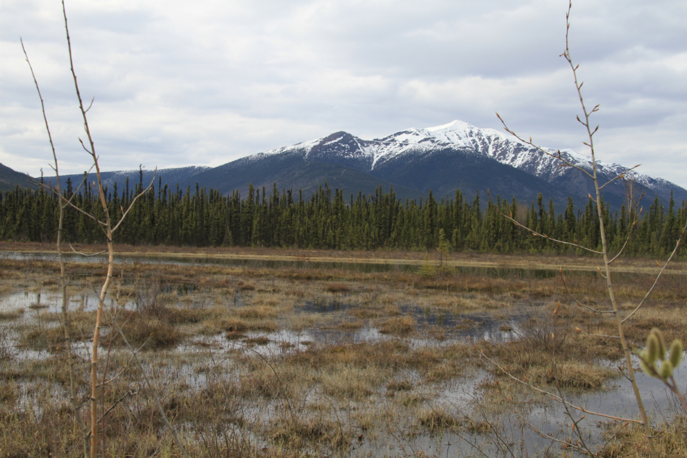
The view from about Km 80.
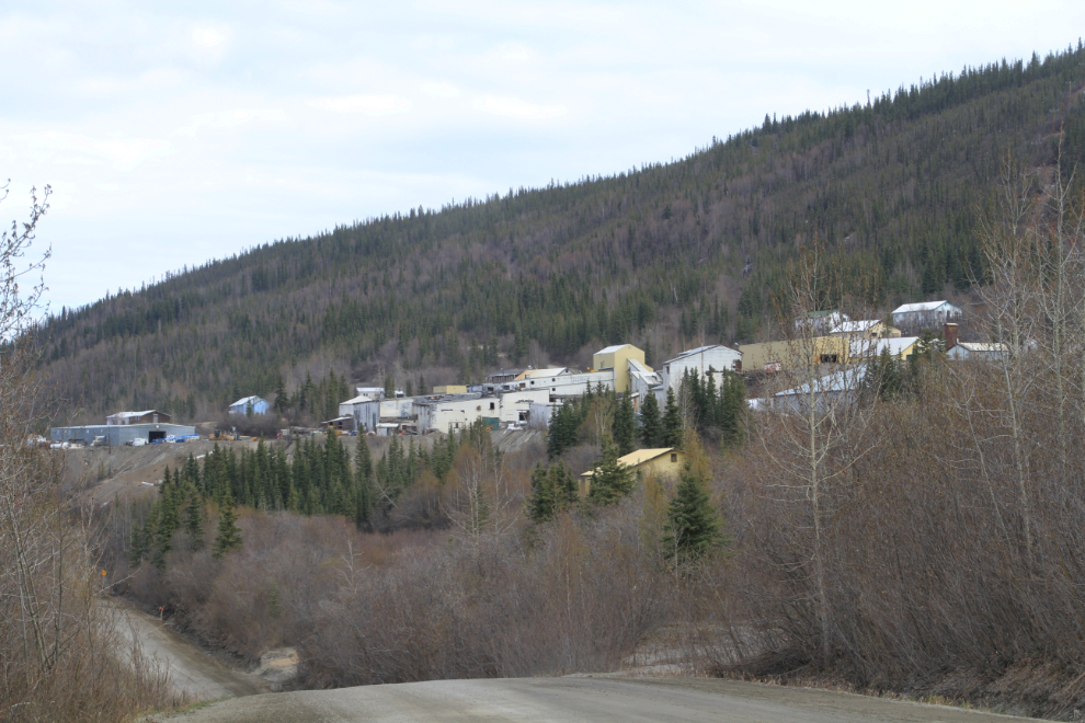
By 3:50 we had reached the old mining town of Elsa. It’s often called a ghost town but isn’t really – it’s private property but there’s lots going on in the mining offices behind the fences.
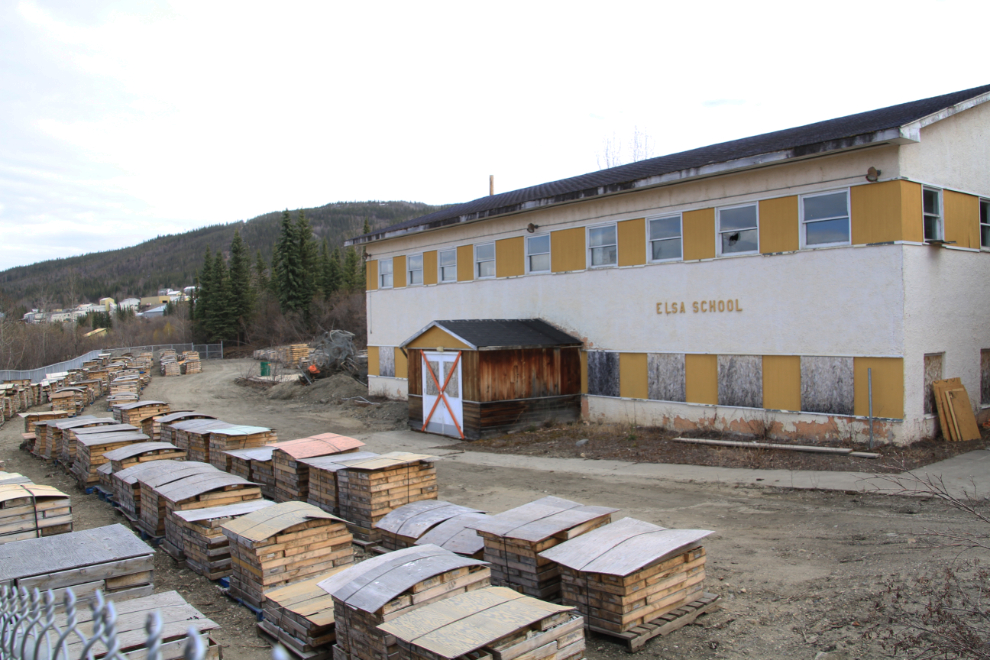
The schoolyard is being used to store drill cores. I went through the school about 5 years ago before it was boarded up, and it was quite interesting – lots of classroom papers were still in it.
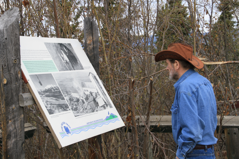
My friend Alastair reading the interpretive sign at Elsa.
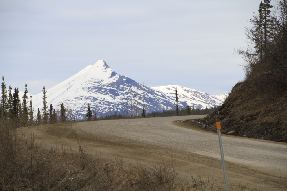
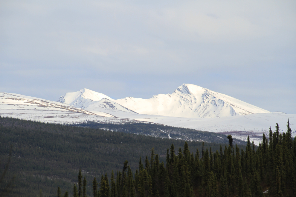
The view looking towards Keno from Km 104 (which is 7 km from Keno).
Nearing Keno, there are even more tantalizing views of the impressive peaks just east of the village.
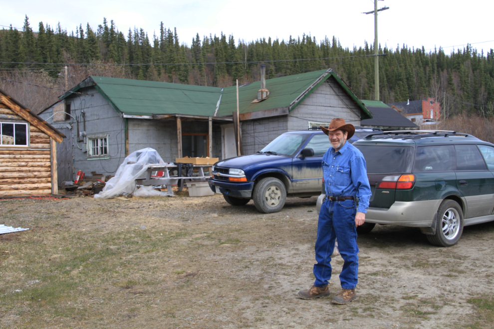
Alastair in front of his cabins in downtown Keno City.
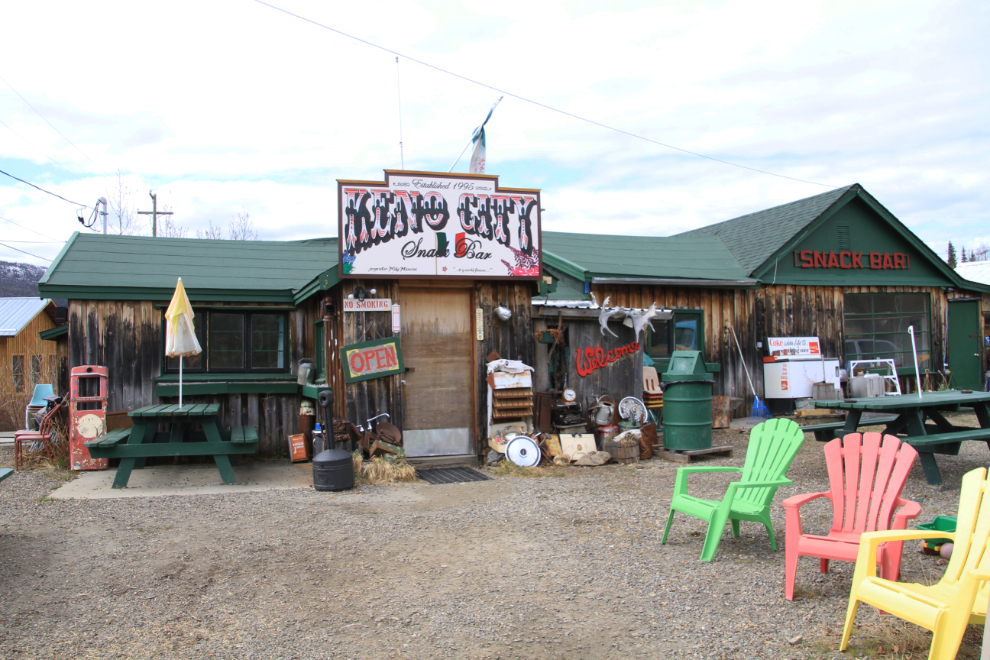
We popped in to the Keno City Snack Bar to chat with Mike Mancini, who I hadn’t seen in a few years. I used to be in Keno quite regularly with tours in the early ’90s but I haven’t heard of a bus going in there in many years.
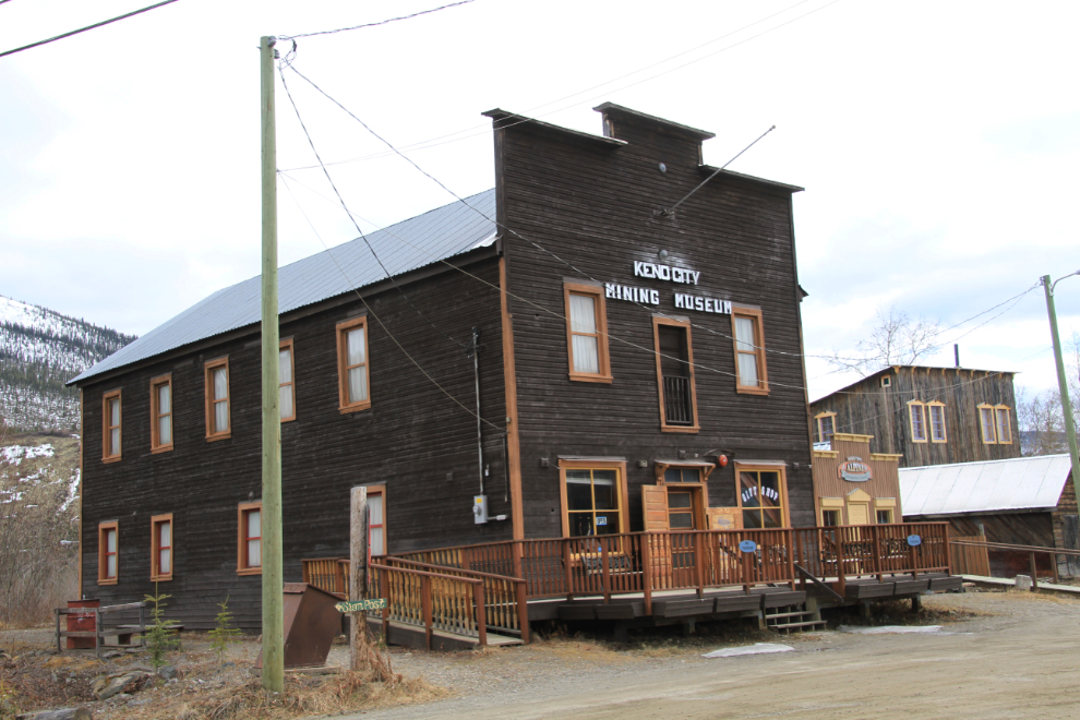
There was no time to go into the museum, but I remember it as being quite good.
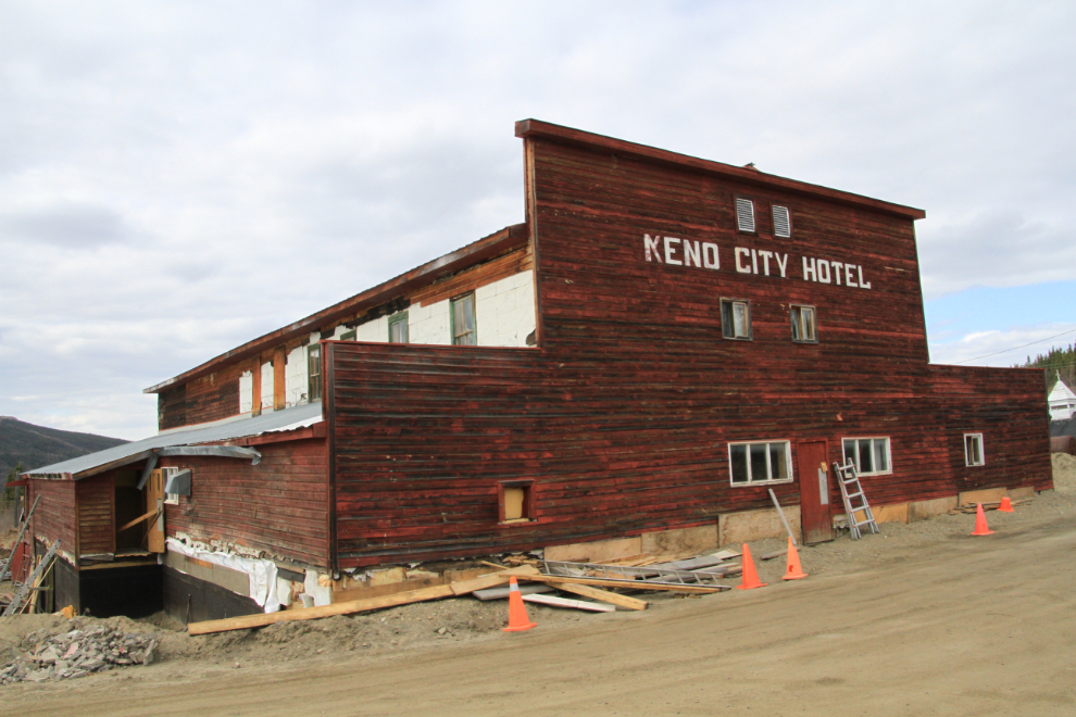
Alastair had told me that there was now a bar open, so we went for a look (and that beer tasted wonderful after the long drive!). The last time I was in this room was 11 years ago when Cathy and I came up to interview Geordie Dobson for Up Here magazine. The article was published in the July 2001 issue as Geordie Dobson, King of ‘The Hill’ – he was a real character!
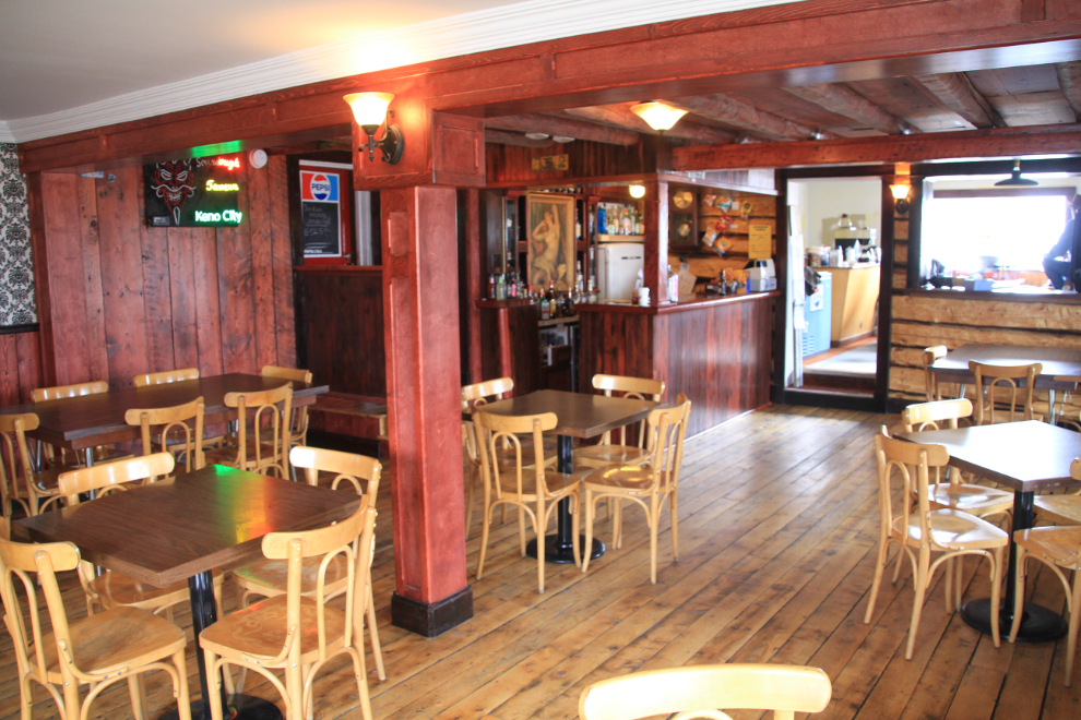
It was great to see that Geordie’s hotel is being rebuilt, as is his famous “bottle house”. Geordie would approve, I’m sure.
I hoped that we’d be able to get up to the summit of Keno Hill, though I did expect to get stopped by snow. The views on the way up are impressive in any case, including this look at an active placer gold mine.
I got just a bit higher than this and had to turn around – this is the view going back down the hill.
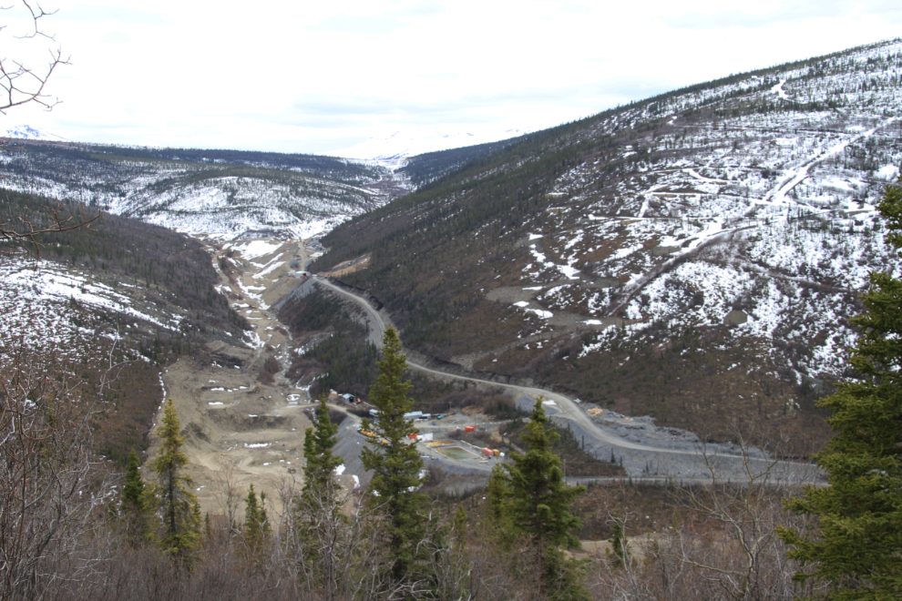
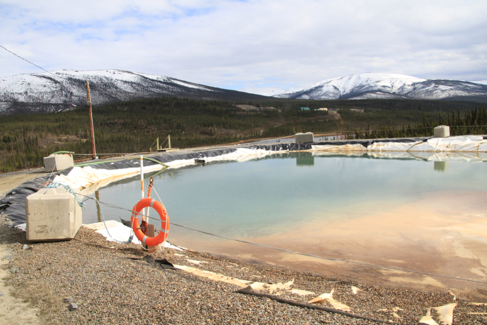
I left Keno just after 5:00 pm, knowing that photo stops and some minor exploring would make it a slower trip home. The first side road exploration brought me to this site overlooking Alexco Resources’ Bellekeno silver mine, which opened in January 2011.
This map gives a bit of an idea of the possibilities for backroads exploring!
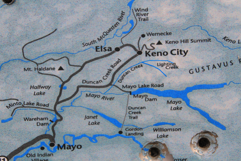
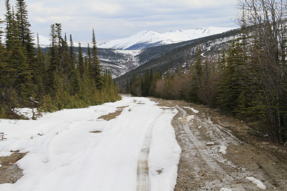
There are hundreds of miles of roads to explore in the Elsa/Keno area – I’ve made short trips up a few of them but have always been to early in the season to get very far even with a good 4×4. This is the start of the Wind River Trail, also known as the Amerada Road or Proctor’s Trail. It was a winter road opened in 1959 to move equipment to an oil exploration project at Eagle Plains before the Dempster Highway was built. Although just packed snow, it was of such high quality that large White Pass & Yukon Route trucks could use it.
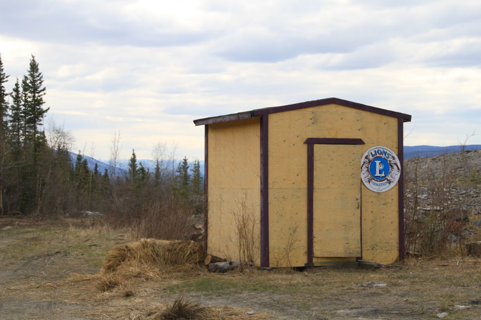
There are many survival huts scattered around this country though I don’t think any are maintained anymore. They used to be kept supplied for any travelers who got stranded by weather or other problems. Most are derelict but this one at the start of the Wind River Trail is still in pretty good shape.
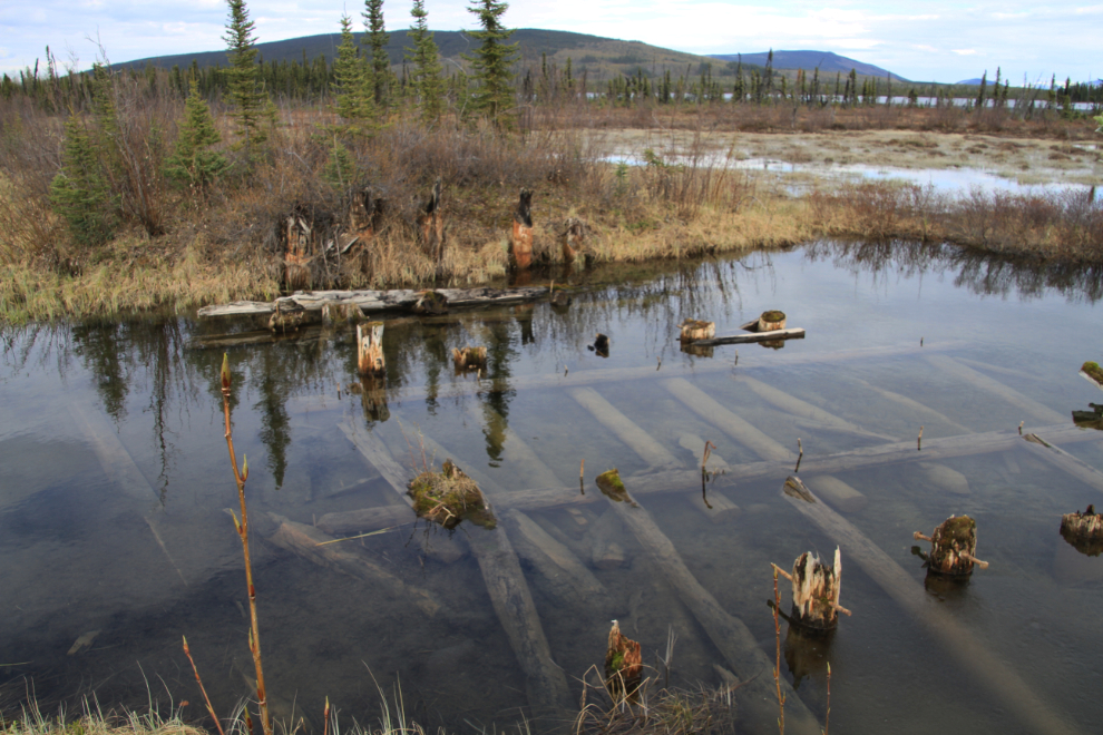
This is a broad view of the tailings below Elsa. Between the early 1930s and 1988, the Elsa mill processed ore from 10 major mines in the area, resulting in about 3.67 million tonnes of tailings deposited here. In 1990 Alexco used sonic drilling to drill 283 holes in the tailings to get an estimate of mineral resources left. The estimates are that there are 9,526,000 ounces of silver and 9,600 ounces of gold available for extraction!
Remains of a wooden bridge on a section of the old road near Km 74.
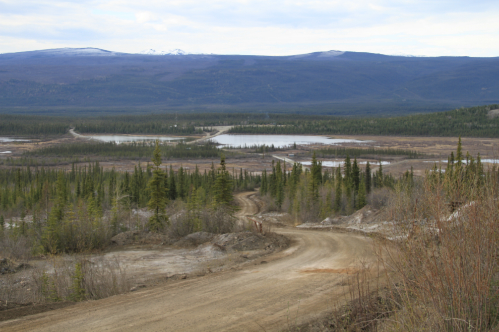
The Duncan Creek Road is an excellent road to explore – I did the loop a few years ago.
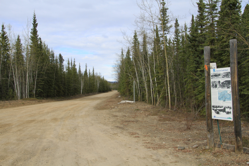
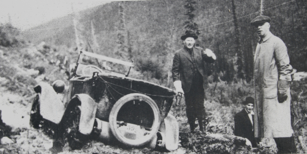
The Duncan Creek Road is in much better condition now than it was in 1922 when this photo was taken!
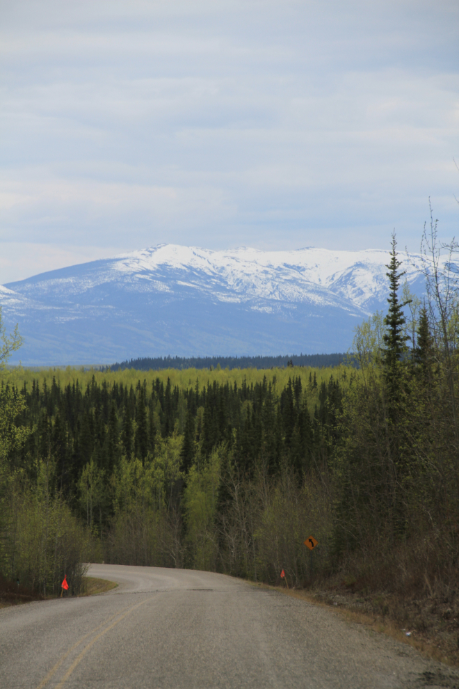
The view ahead at Km 66.
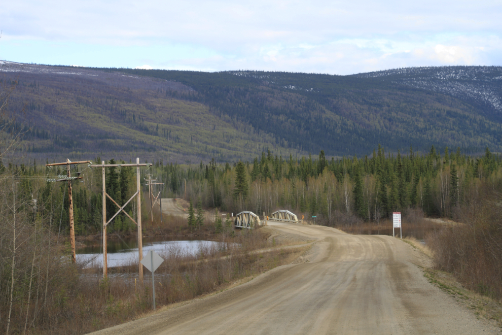
The Minto Bridge.
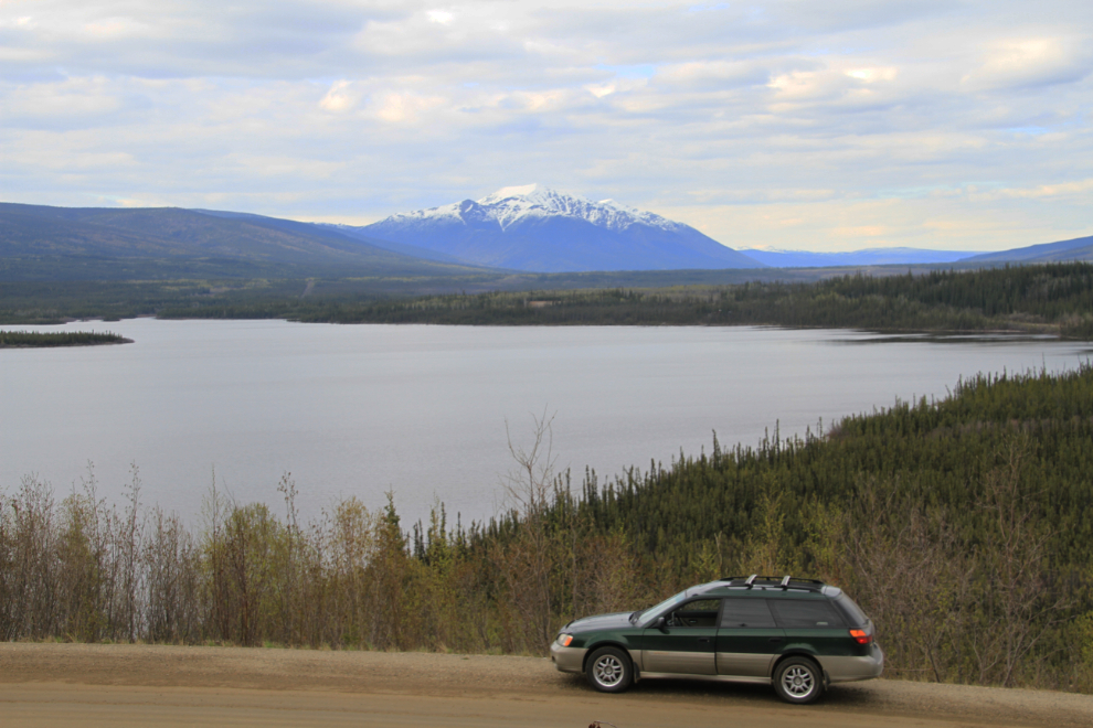
This is Wareham Lake, created by the Wareham Dam that has recently been substantially upgraded for hydoro-electric generation.
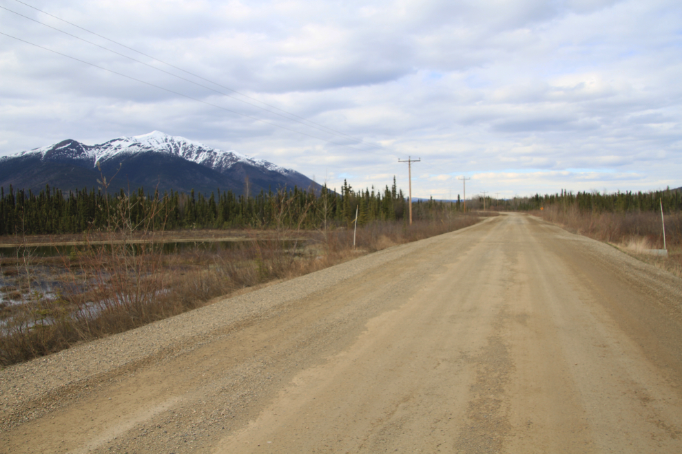
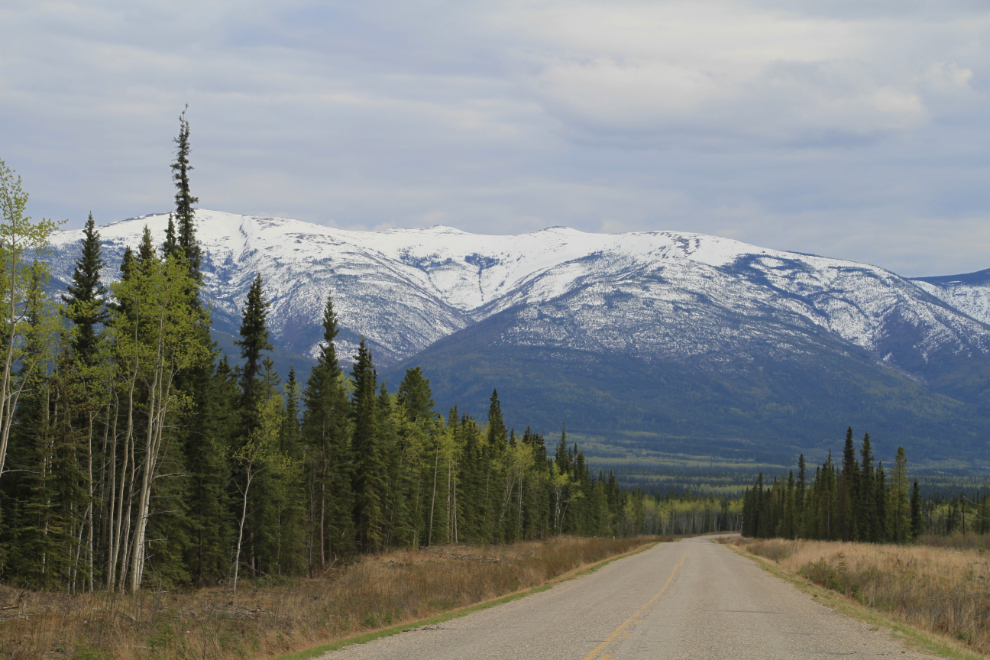
The view ahead from Km 56.
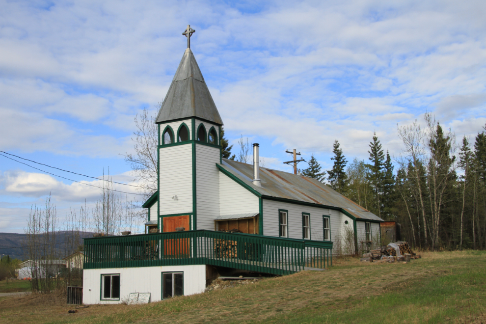
I went into Mayo, a village of 457 people, hoping to be able to get dinner somewhere, but had no luck. This is the Church of St. Mary with St. Mark Anglican Church, built beside the Stewart River in 1915.
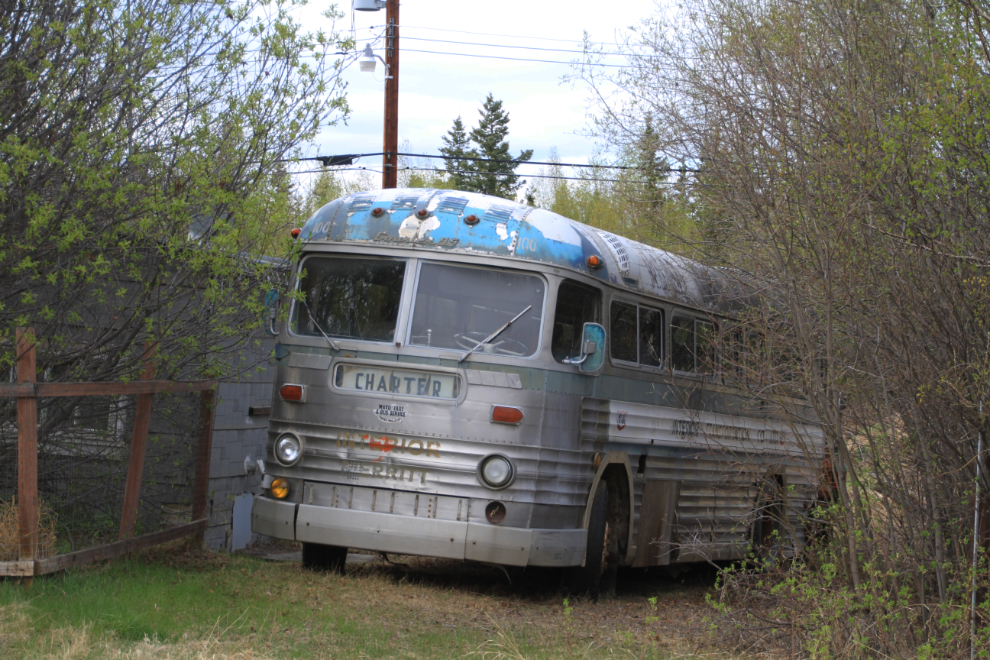
Whenever I see this old MCI Courier 95 bus (about a 1957), I think about it rebuilt as a motorhome – I love the body style, and at 35 feet long, it’s a nice motorhome size. No, I’m not really looking for a new project! 🙂
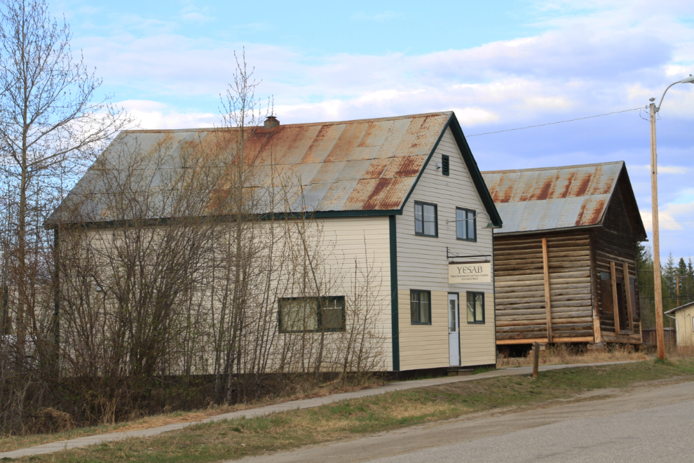
A couple of the historic buildings on the road along the river.
Back on the road – this was the view from Km 28 at 7:17 pm.
Another look at the Stewart River a few km before reaching the bridge.
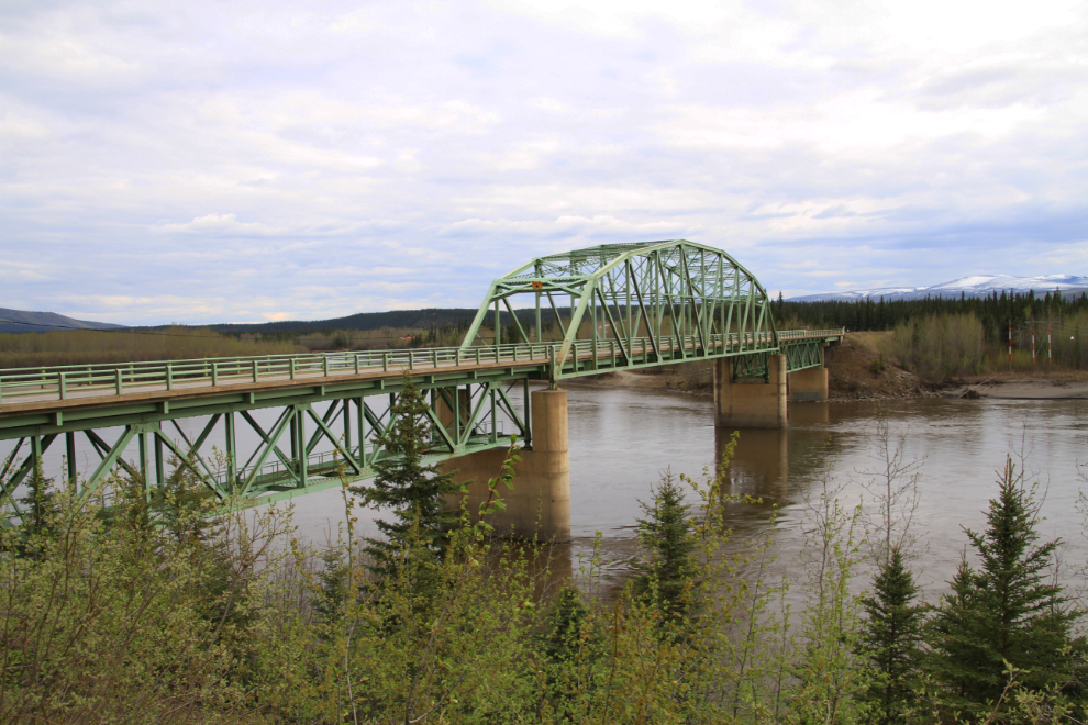
Looking south across the Stewart River Bridge at aptly-named Stewart Crossing.
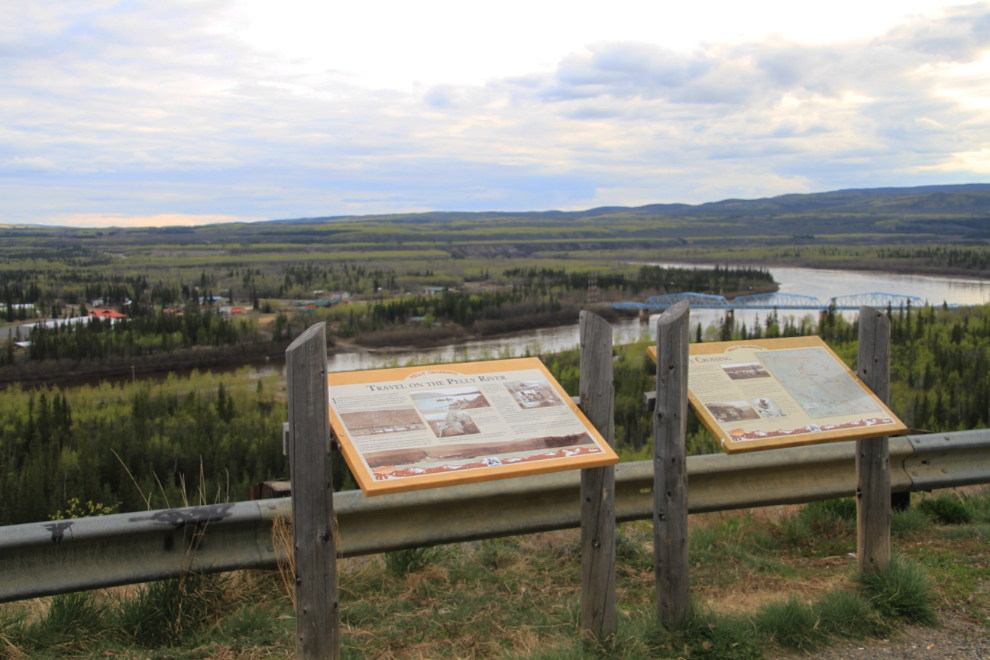
Overlooking the Pelly River and the village of Pelly Crossing (population 328) at 8:30 pm. The cafe here was closed, so no luck with dinner yet – I was finally able to get some junk food at Carmacks.
An hour from home, I made one last stop to get this photo of Fox Lake, at 10:28 pm. I had been tempted to stop for some photos of a herd of elk beside the road a few miles back, but I was getting tired so kept going. By 11:30 I was home, and in bed a few minutes later. A job well done 🙂