A drive from Hilo to the summit of Maunakea
For pretty much forever, I had 3 bucket-list things to do in Hawaii. The first, and perhaps the prompt for the other 2, was to watch the sun rise from the summit of Haleakala. That was accomplished in May 1972, a few days after getting married in the old courthouse in Honolulu. The second item on the list was a flight along the Na Pali coast – that’s the flight I wrote about yesterday. And this post is about the third item that was on the list – driving to the 14,803-foot summit of Maunakea.
To start this post, here’s a surprisingly obscure Hawaiian fact about the spelling of the mountain’s name. Is it Maunakea or Mauna Kea? The University of Hawai’i at Hilo College of Hawaiian Language recommends one word, “Maunakea” as the proper Hawaiian usage. That is the traditional Hawaiian spelling.
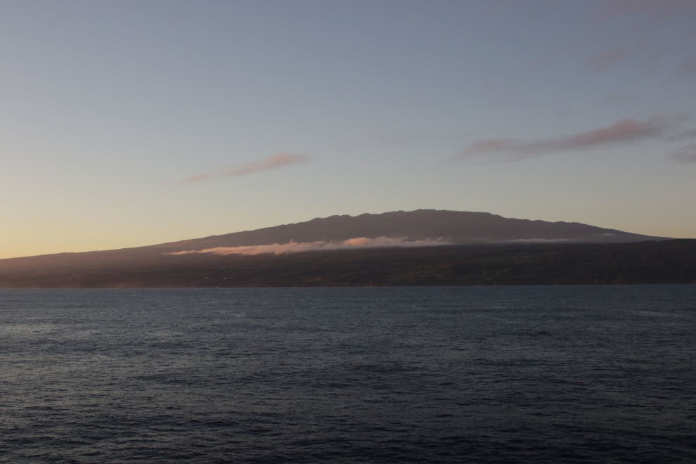
The first photo shows my view of Maunakea at 06:20 on Sunday, October 15th – my first look at “the Big Island” of Hawaii since 2014, when Cathy and I hired a private guide to take us on an all-day tour of Hawai’i Volcanoes National Park. You can see that 40-photo blog post here.
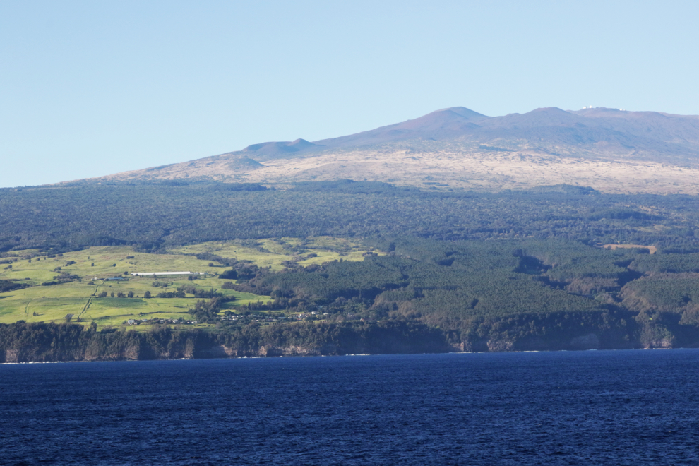
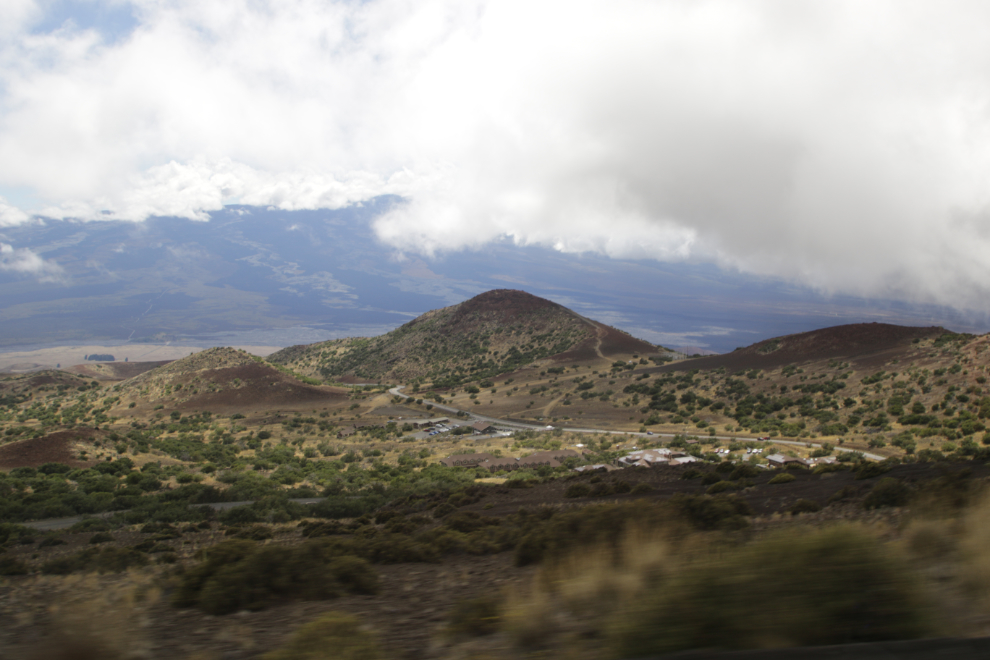
By 07:15 we had spent a while at the spa and were ready to get the day started. While Cathy had booked a tour to the summit of Maunakea for both of us, she decided that going to 14,000 would be a very bad idea and changed to a low-elevation tour of gardens, beaches, and waterfalls. The next photo shows the start of the residential area at the base of Maunakea.
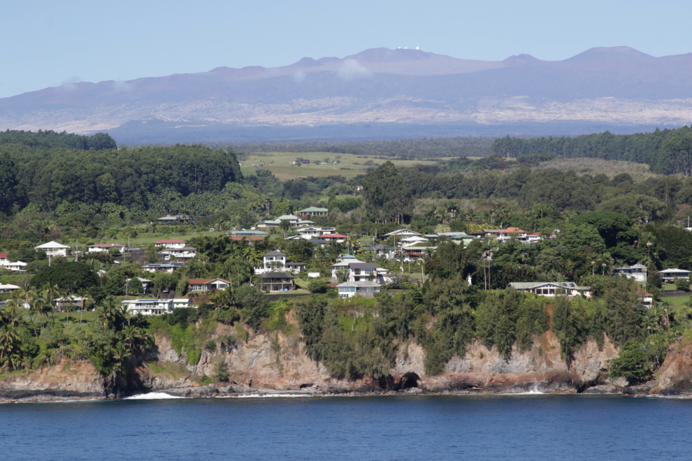
A closer look at some of the homes, at 08:42. Some of the observatories on the summit of Maunakea can be seen.
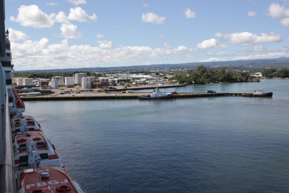
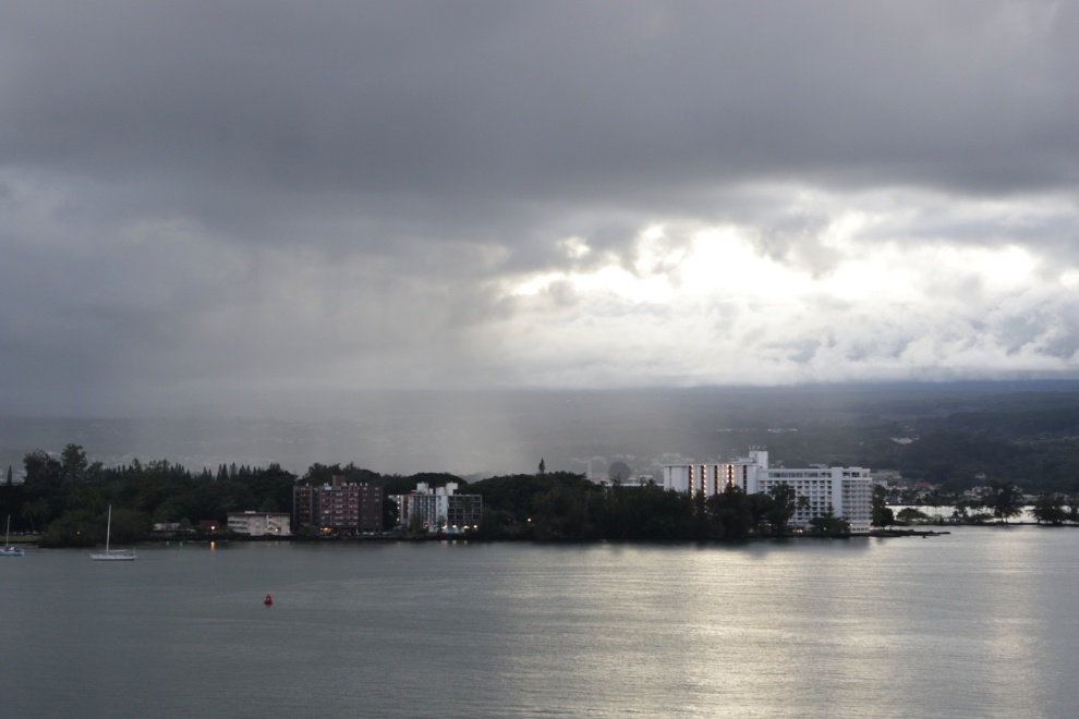
At 10:00, as scheduled, we arrived at Hilo. This was the view from our verandah.
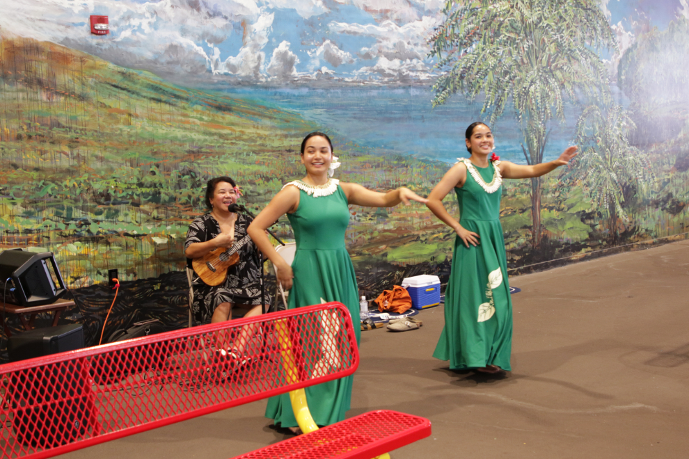
We both had early tours so needed to be off the ship as soon as it docked. Though we rarely book tours through the cruise lines, we did this time. Getting off was surprisingly easy, and the hula performance in the cruise ship terminal while we passed through was a nice touch.
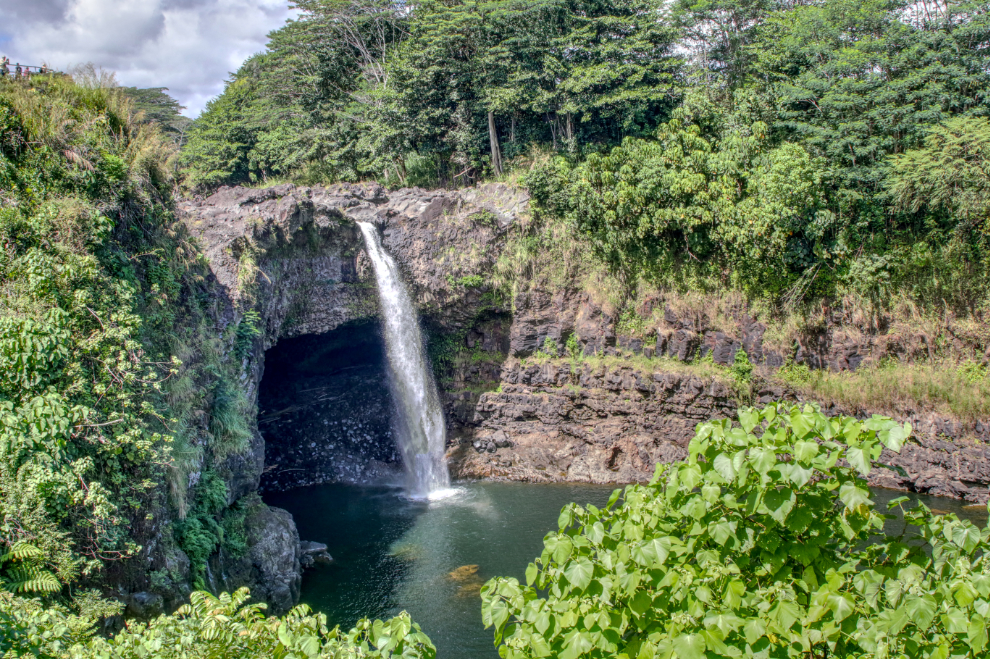
My tour group of 12 was soon seated in a very nice new 4-wheel-drive Mercedes van, and off we went. When the driver made a wrong tour going to our first stop, probably the most popular waterfall on the island, I figured we had a brand-new guide. That turned out to be true. At Rainbow Falls, Cathy’s group caught up to us, but we left long before they did.
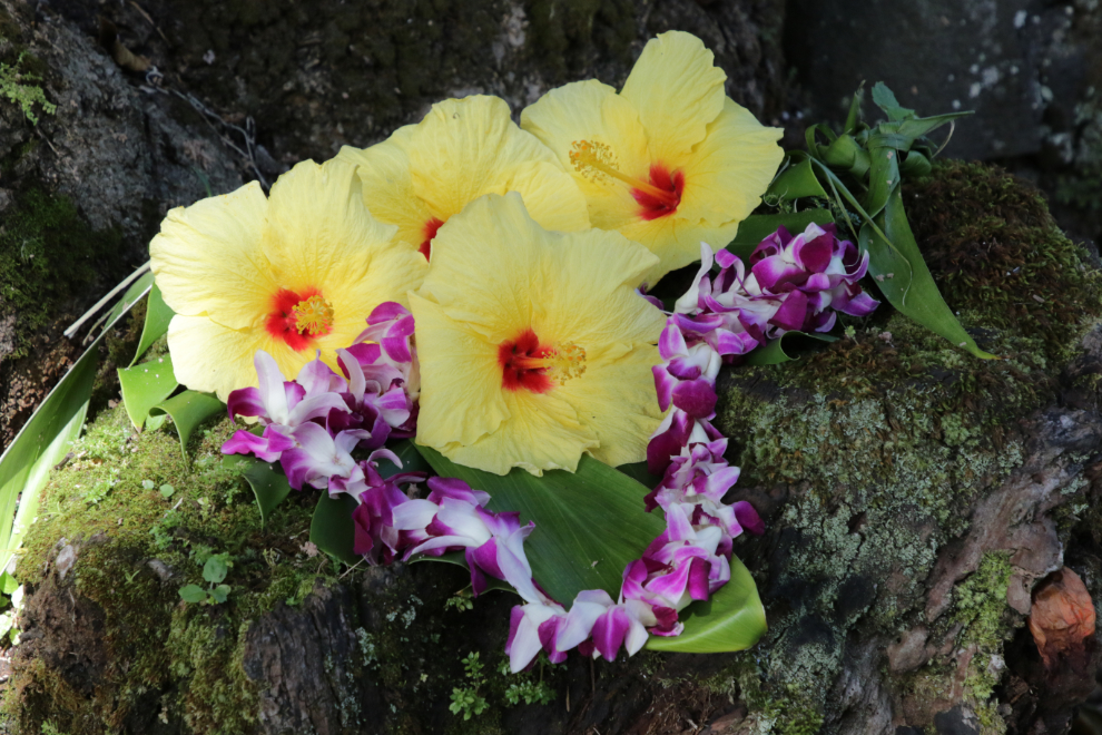
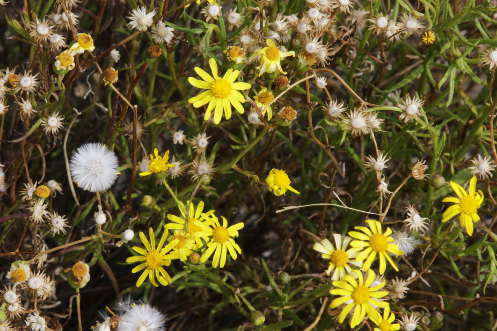
The flowers at Rainbow Falls were wonderful 🙂
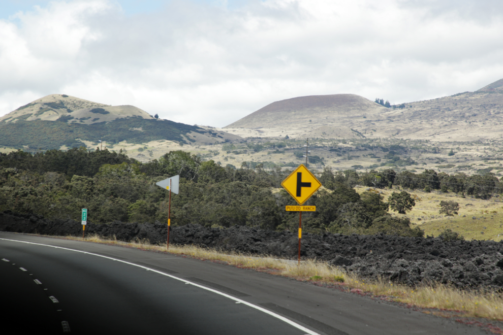
From there we eventually got to Highway 200 and headed west. Traffic was quite light once we got out of Hilo.
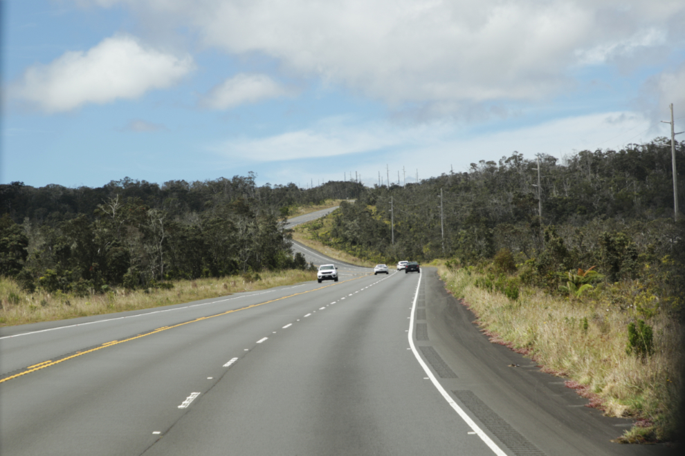
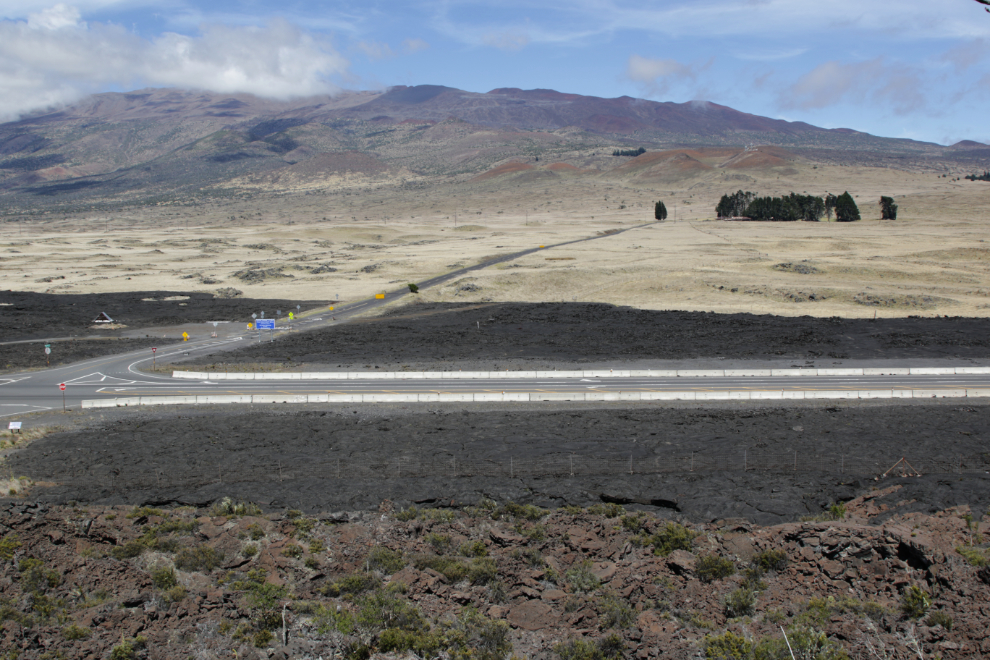
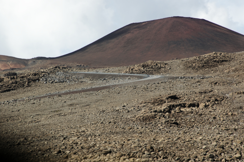
By noon we were in obviously volcanic country, with very old cider cones along the highway.
At 12:10 we stopped at the Pu’u Huluhulu Cinder cone parking lot to stretch our legs, have some water and chips. By now I was convinced that this was our driver’s first tour, and he admitted early on that he was fairly new to Hawaii except as a visitor. I don’t know what the significance of this home-built cairn is – the plaque at the lower right says “Third Hawaiian Renaissance”, which Google says is often called the Hawaiian Cultural Renaissance, the resurgence of a distinct Hawaiian cultural identity.

Lava fascinates me, and the different forms, colours, and textures in the small area that was accessible were very interesting.
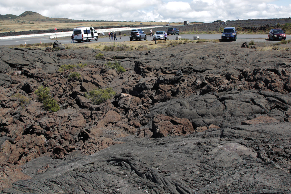
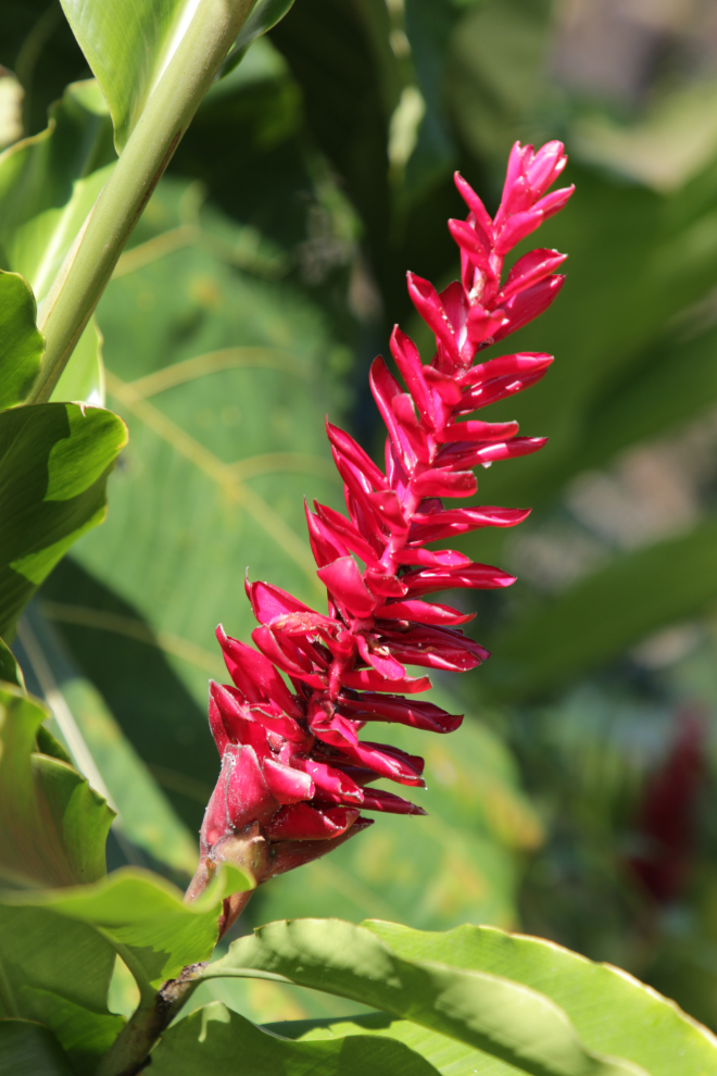
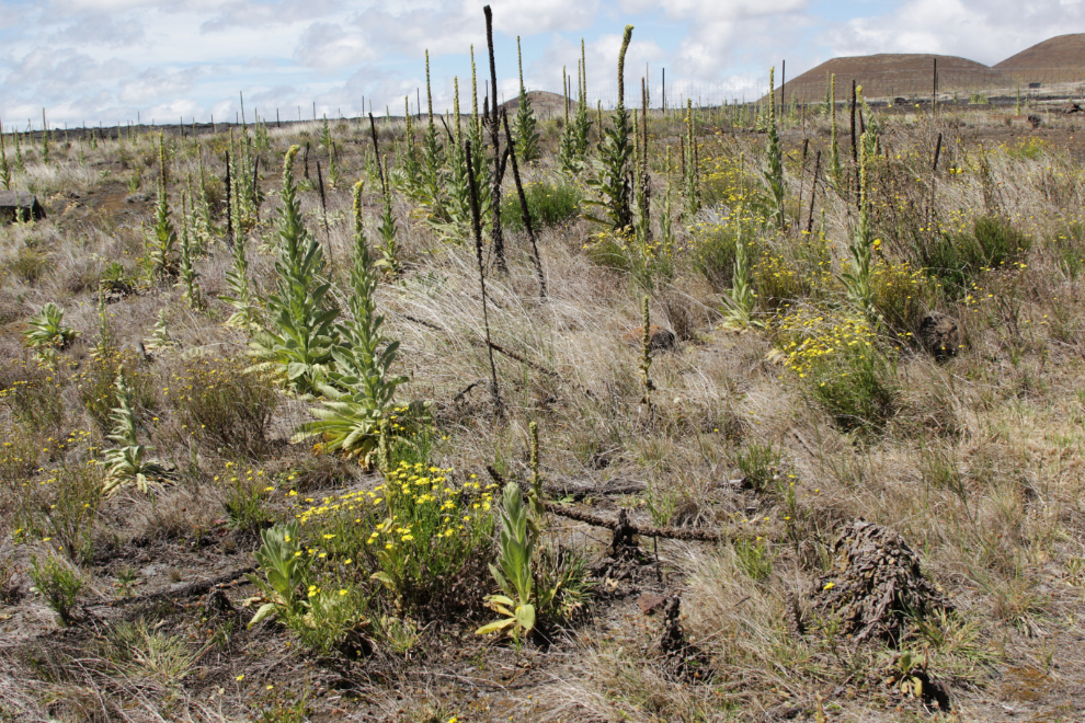
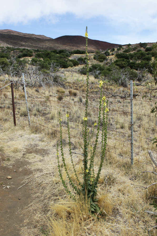
While there was a lot to see close by, everyone except one other guy just stayed by the van. There were a few plants and flowers I don’t think I’d seen before.
There was a fairly steep, rough, trail up the side of the cinder cone. When I got near it, the other guy asked if ‘d go up with him. My regular readers all know what the answer to that was 🙂
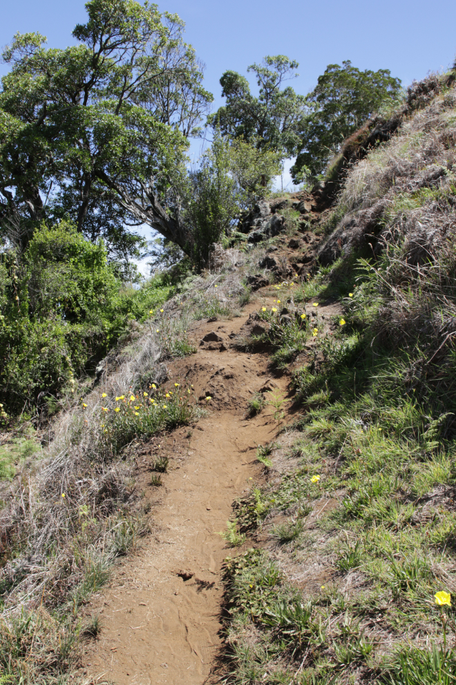
My exploring partner soon quit, and as we clearly didn’t have time to do much, I followed him back down. We had gotten high enough to get a much better feel for the nature of this place, though. The dark areas in the next photo are all lava.
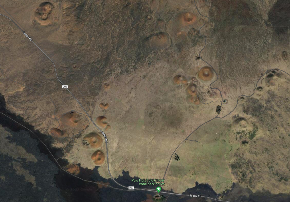
The aerial photo/map below will give you a better idea. Click here for a large interactive map of this location.
Starting up the Maunakea road, there’s a small parking lot with a couple of shelters that look like they’ve been there for years. Our driver told us about protests against the construction of another observatory at the summit. Now that I can Google it, I’ve discovered that pretty much everything he said was wrong. The Wikipedia page about the Thirty Meter Telescope (TMT) protests in 2014-15 and 2019 is very good – you can read it here. Assuming TMT does get built, it will expend about $26 million annually in observatory operations and employ about 140 employees – that’s quite a climb from the 500 people who work for current summit observatory operations.
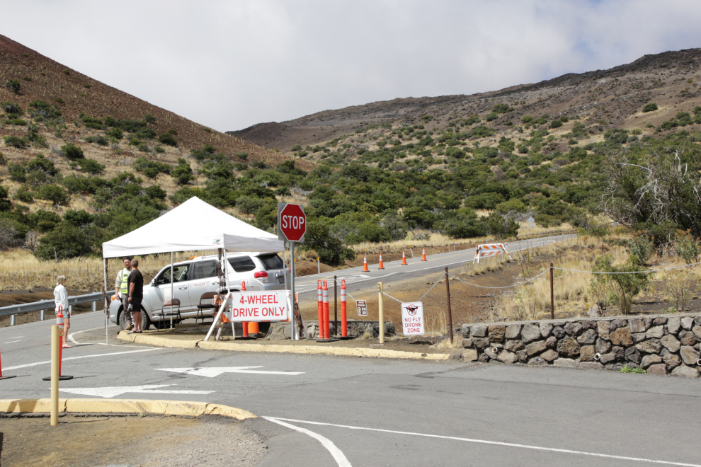
It took 20 minutes to get from the cinder cone stop to the Maunakea visitor centre at the 9,000-foot elevation level. All vehicles have to stop here.
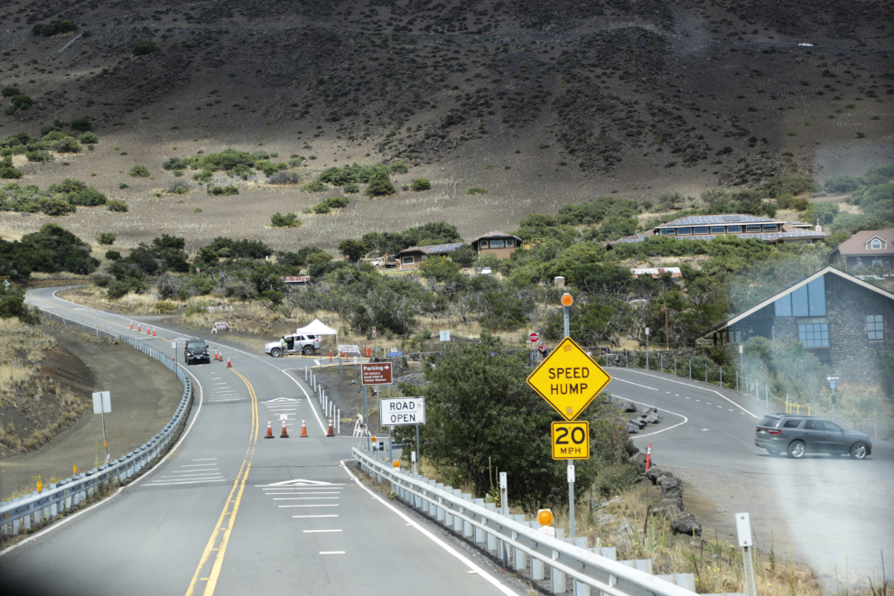
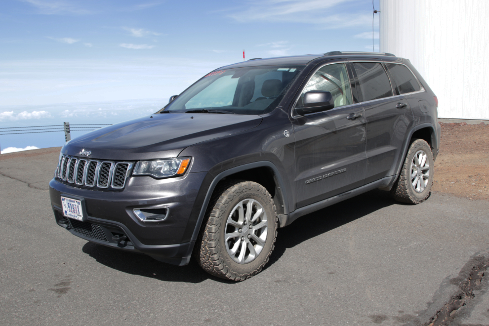
Only 4-wheel-drive vehicles can continue on to the summit, though it’s not really clear to me why. Even with 4×4, rangers spend a long time talking to each driver. This is as far as about half the drivers I saw got, either turning around voluntarily or being refused passage. There seems to be a lot of rangers. Curious about their duties and job requirements, I found a job posting, which I screenshot and posted.
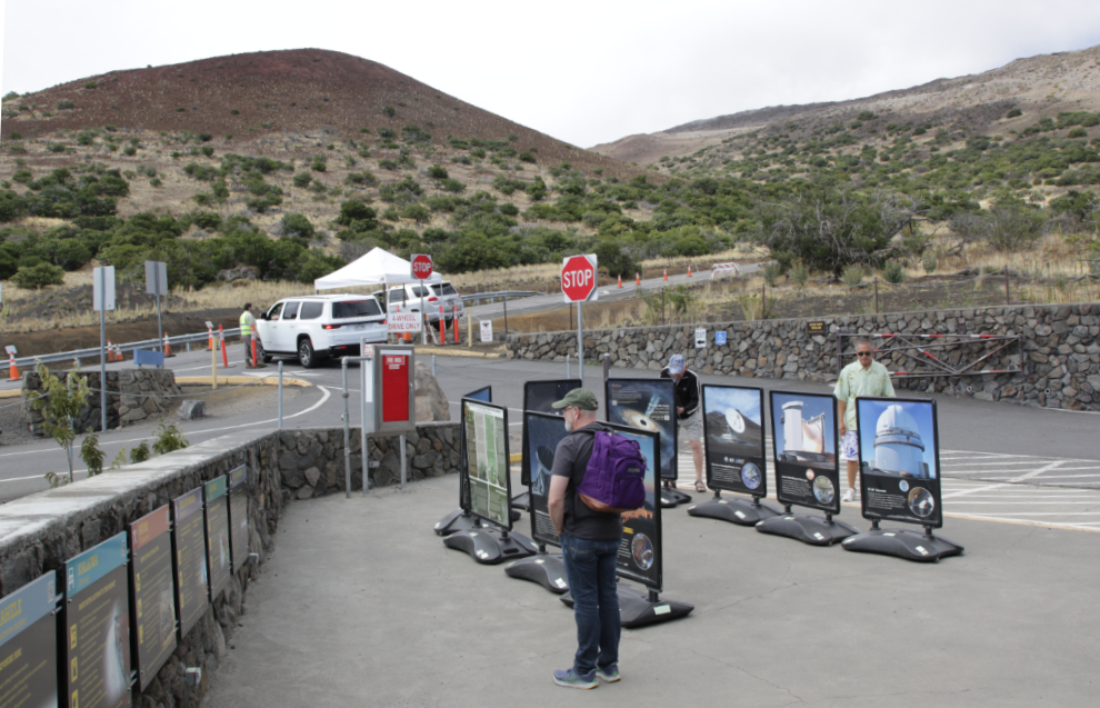
There is a lot of information about the mountain and about the observatories posted both outside and inside the visitor centre. I was hoping to get at least a Maunakea tshirt from the gift shop but unfortunately none of the designs appealed to me.
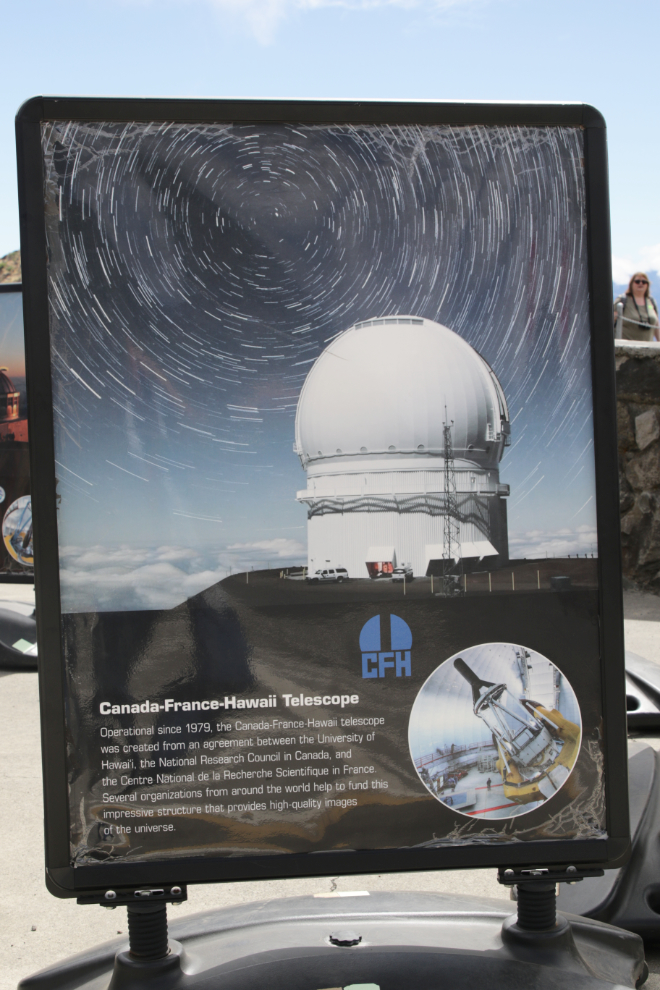
Here’s the information panel about the Canada-France-Hawaii Telescope.
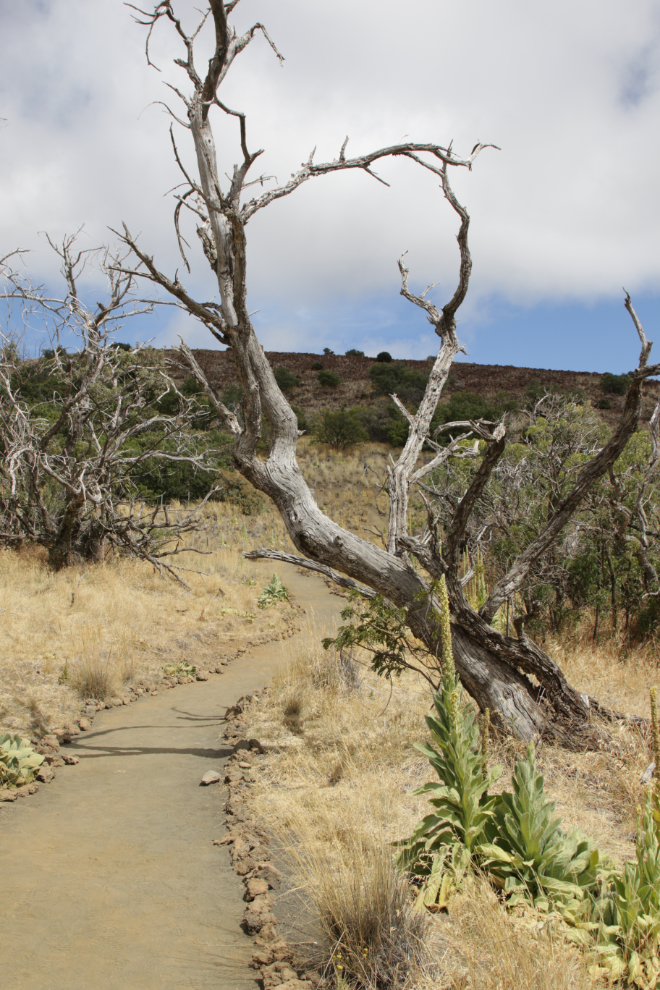
I was intrigued by the Silversword trail, in an enclosed area. Argyroxiphium sandwicense subsp. sandwicense, the Mauna Kea silversword, is a highly endangered flowering plant.
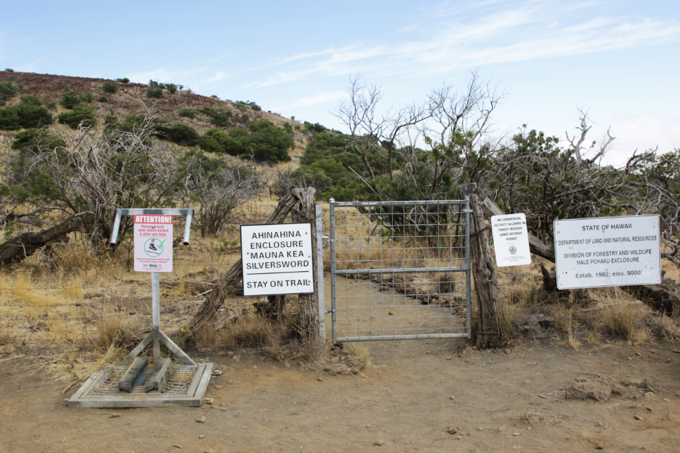
I saw no interpretation of what I was seeing, and didn’t know how long I had, so didn’t walk very far.
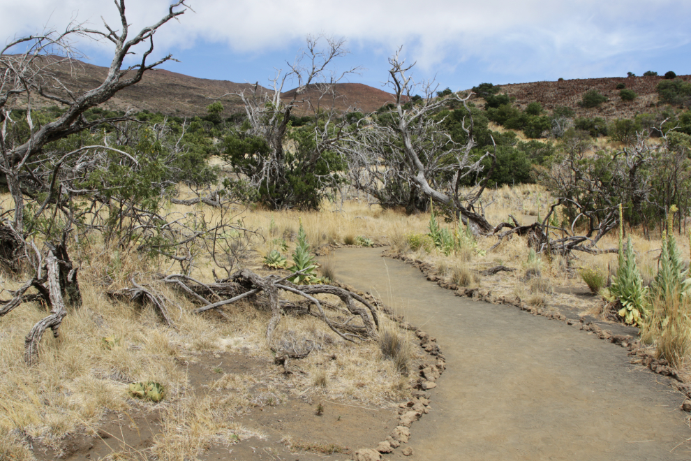
It’s too bad, as I think walking that trail could be important in understanding the mountain.
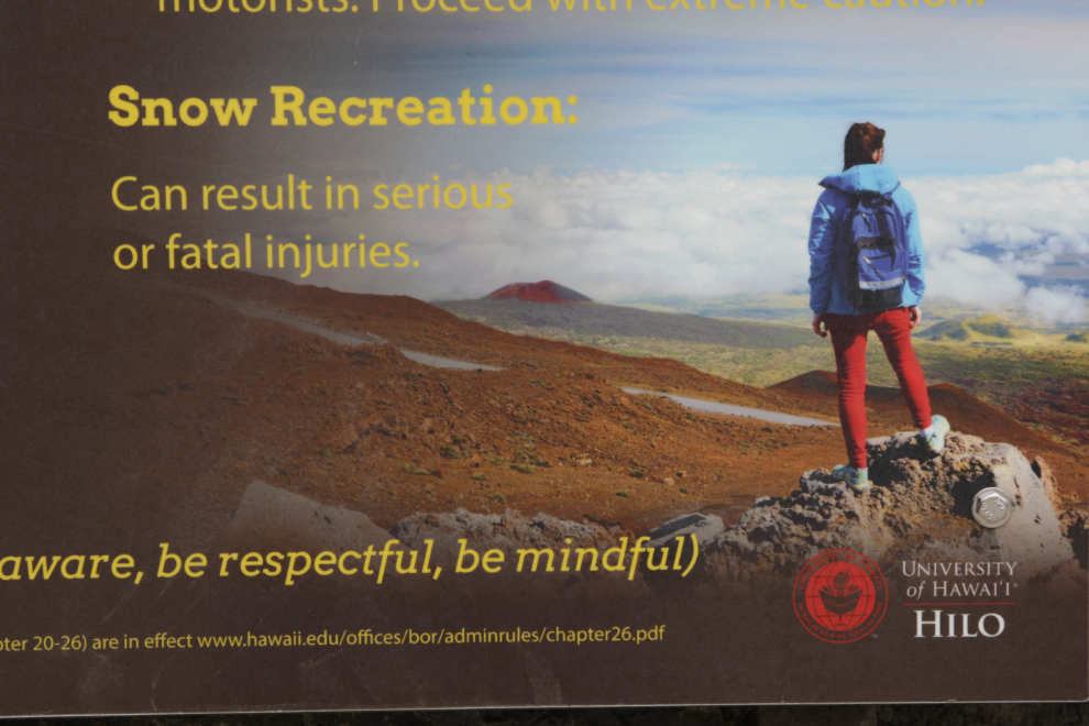
As a Yukoner, I found this warning sign to be quite amusing 🙂
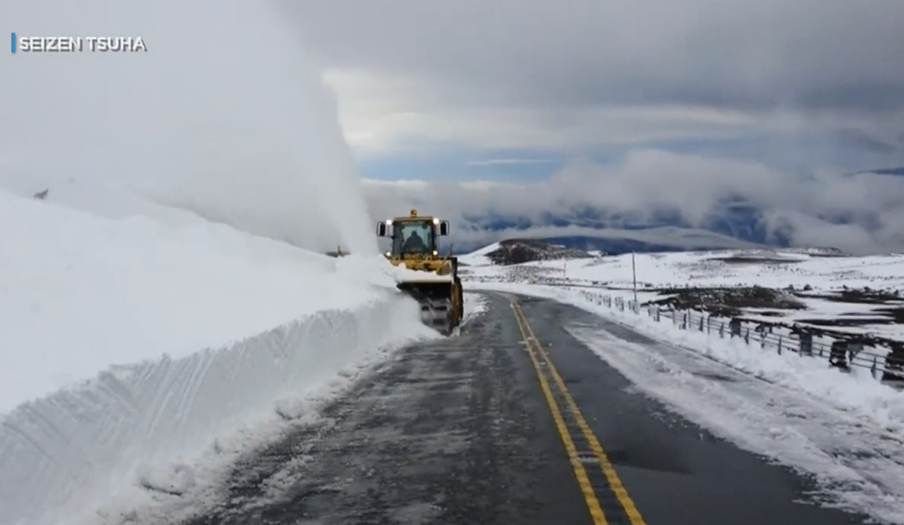
It does snow on Maunakea, and there’s a small fleet of snowclearing equipment at the upper end of the ranger area. I wasn’t able to get a photo as we drove by, but it appeared that it would all be suitable for a museum. The image below is a screenshot from a video story by Hawaii News Now about the snowclearing crew.
We didn’t have to stop at the checkpoint, as commercial operators have permits that exempt them. Our driver said drivers take a course about the mountain.
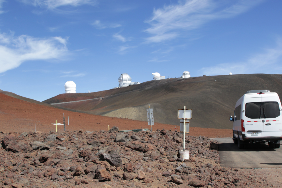
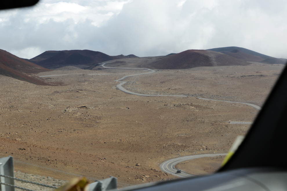
The next photo shows the view down over the ranger area, at 1:22. The road climbs quite steeply from there.
There is a section of the road – a mile perhaps – that’s gravel, but most of it is good pavement. At 11:35 we were at about 12,000 feet.
We detoured to see one of ten 25-meter radio telescopes that are spread over a 5,351-mile long baseline from this antenna to its identical sibling on the island of St. Croix. This is the Very Long Baseline Array (VLBA).
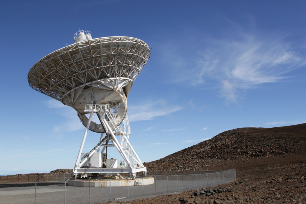
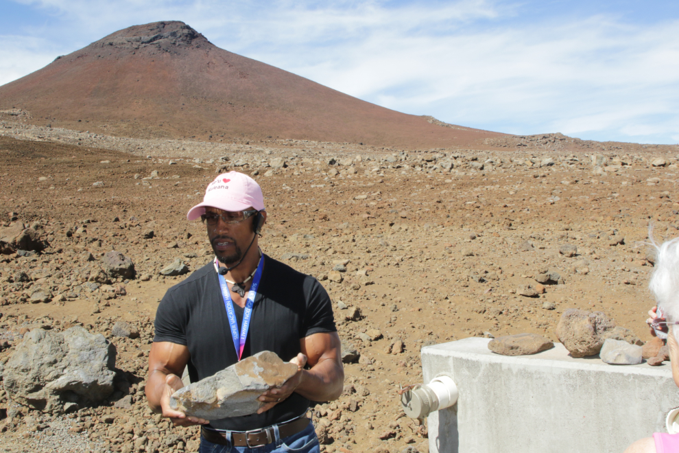
At the VLBA, our driver showed us samples of a wide range in types of lava – different weights, colours, and textures.
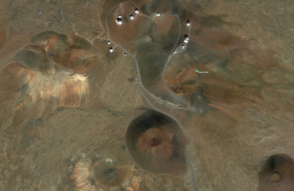
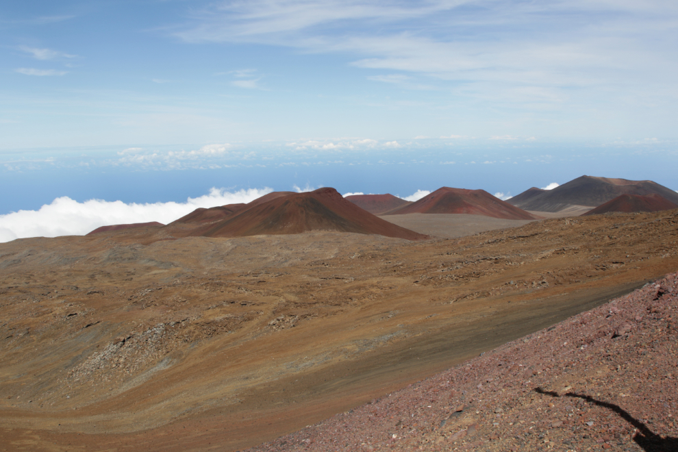
Now the mountain really had my attention in a deep way. The next image show you what the summit area looks like from the air. To the left of the lower centre you can see Lake Waiau, which sits at 13,020 feet (3,970 meters). It would certainly be one of my hiking destinations!
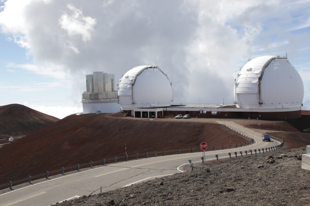
At 2:00 we were parked among the summit observatories. The 13 telescopes on Maunakea are operated by 12 separate nonprofit observatories. Visible in the next photo are the Canada-France-Hawaii 3.6-meter Telescope (one of the most powerful and productive observatories in the world), the Gemini Northern 8-meter Telescope, the University of Hawaii 2.2-meter Telescope, the United Kingdom Infrared Telescope, and the University of Hawaii 0.6-meter Telescope.
Looking down from that spot, the view is impressive!
On the left in the next photo is the Subaru 8.2-meter optical-infrared telescope and then the twin domes of the W. M. Keck Observatory. Both of the Keck telescopes have 10-meter aperture primary mirrors, and when completed in 1993 and 1996 were the largest optical reflecting telescopes in the world.
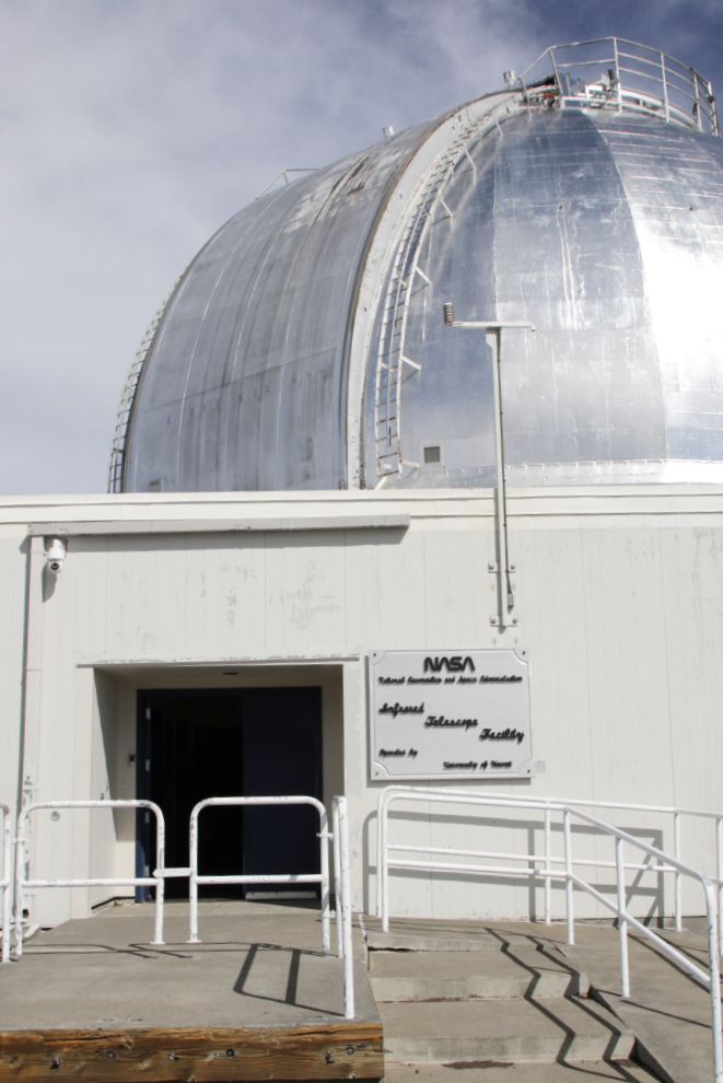
Driving around to see more of the observatories, one of our passengers noticed that the door of NASA’s Infrared Telescope Facility (ITF) was open. He was retired from some sort of job with rockets, and went in to see if he/we could have a look! The answer was “yes” 🙂 (their website says it’s open to the public weekdays from 9-4).
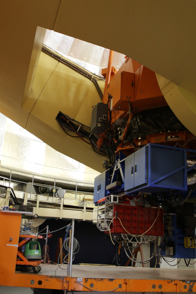
This is what some of a 3.3-meter telescope looks like. Even a 10mm lens on my camera probably wouldn’t have got it all in.
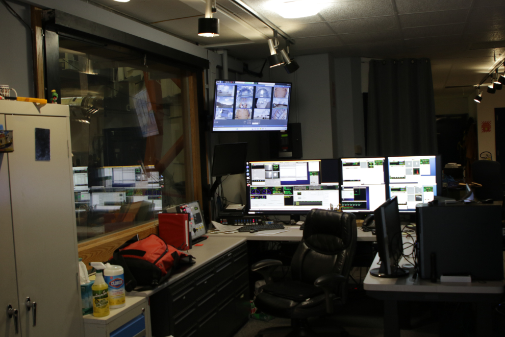
And this is the control room.
The NASA guy’s vehicle, with big gnarly snow tires, wasn’t the sort of thing you’d normally expect to see in Hawaii! 🙂
We stopped for a few minutes at the ITF to hook a couple of passengers up with oxygen. Altitude sickness at 14,000 is real, and it was an extremely good thing Cathy cancelled. I didn’t feel well at all, and our driver said he felt like he’d had a couple of beer – no, I didn’t want to hear that on a road like that. A couple of pulse oximeters were passed around and most of us were reading high 70s or low 80s.
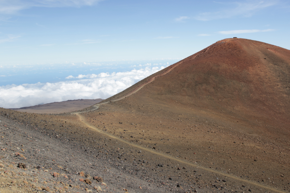
Adjacent Pu’u Wekiu, traditionally known as Pu’u o Kukahau’ula, is the highest of the numerous cinder cones on the summit plateau, at 13,796 feet.
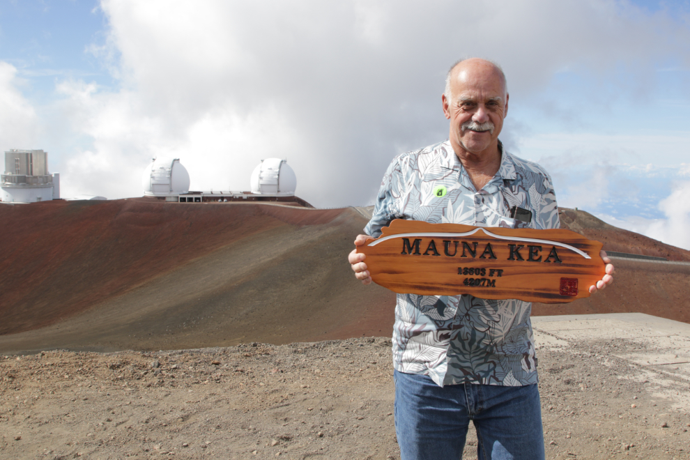
Each of us got to pose for a been-there-done-that photo :
At 2:45 we started down.
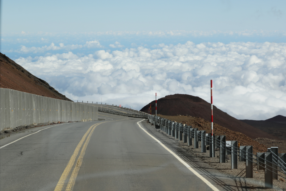
We had been worried about weather for days, and that concern didn’t lessen until we had climbed above a fairly thin cloud layer at about 10,000 feet. My impression is that the percentage of people who see the summit the way we did is quite low. Driving above the clouds in what to some people would be controlled air space is very cool!
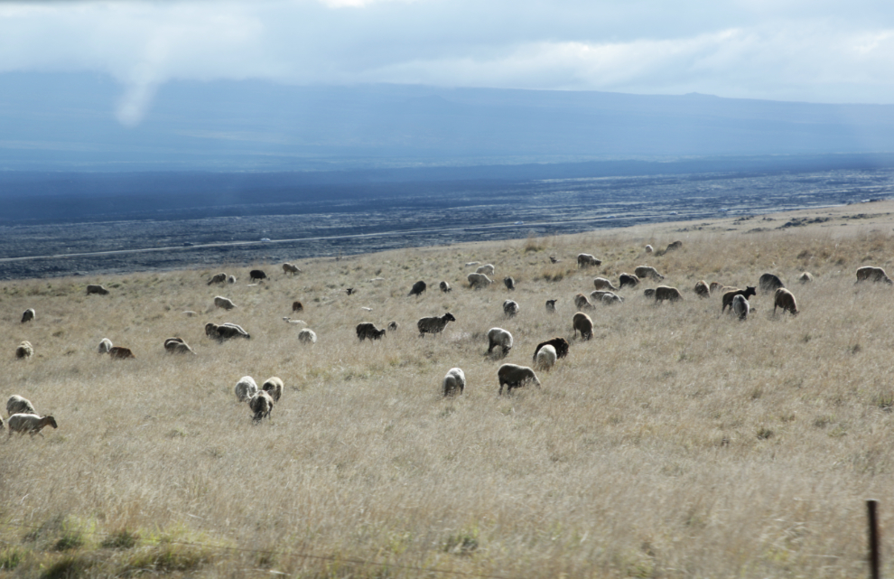
As we neared the highway, there were hundreds of sheep along the road! I asked if they were wild, and when the reply was “yes”, I asked if they could be hunted. Then I immediately changed that to “sorry, that’s not hunting – I meant can they legally be killed.” Yes, they can, apparently.
We reached the highway at 4:00, and were back to the ship about half an hour later. The tour had run about 2 hours longer than advertised, and another hour or so would have been great.
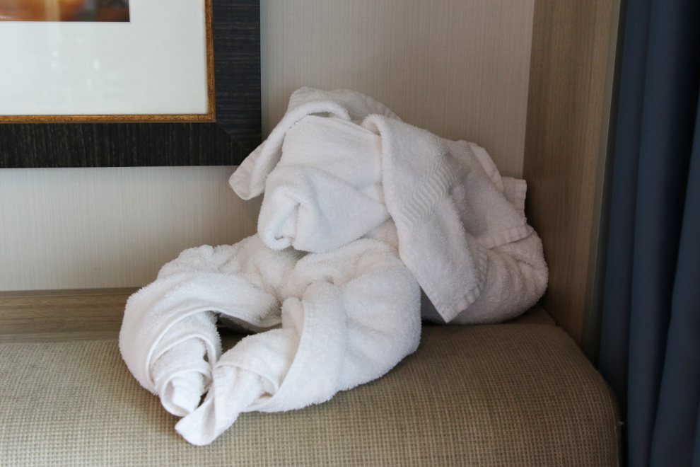
Our cabin of course had been straightened up, and the towel animal of the day was a dog that we kept on the back of the couch for a few more days 🙂
Right at 6:00 it looked like a heavy rain storm was going to hit us, but it broke up before reaching the docks.
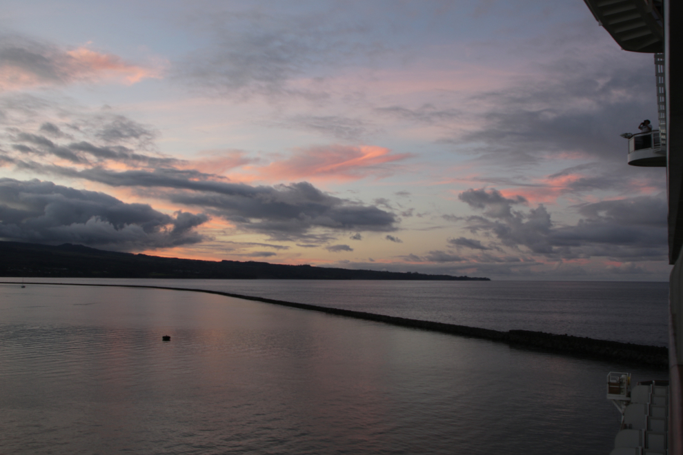
We sailed away from Hilo at 8:00. It was dark by then, but I shot the final photo in the last light.
Ignoring the quality of our driver, this tour gets a 9 – highly recommended.
So that’s all 3 Hawaii bucket-list items checked off. I’m hugely pleased to have been able to do 2 of them on this trip.
Our port stop the next day would be Kona, where we had nothing planned.
This is post #1,550 since I started the blog on April 25, 2006 🙂
Nice post, had read an article in the last year about the observatories, the height, etc…but your take and photos were very insteresting.
Thank you – as with so many things, there wasn’t enough time to explore properly. But who knows, there may be a “next time”.
Beautiful beautiful spot, when I arrived in Hawaiian land I purchased a shirt close to the design you were sporting sport, drivers tip was epic I am surely, thanks again for the great photos and info eh 🍍
Thanks, Paul. I’m very well stocked with aloha shirts in case I ever go back, but that’s my best one 🙂
Well done Murray. Another great blog post. It’s too bad you never made it to the Arecibo observatory in Puerto Rico before it collapsed in December of 2020, as I’m sure you would have written and photographed an excellent post about it. But getting to see the telescopes in Maunakea must have been a real thrill, as it was the culmination of your threesome for Hawaii. Bring an o2 tank next time.
Thank you, Abe. I’d like to have had a full tour of that observatory – fascinating stuff! If we go back I may rent a car to go up again, and an O2 tank 🙂