A day-trip to Kluane
On Monday morning (February 12th), I had just gotten home from a session with my osteopath and had started making brunch when I got a message from a friend that said simply “It’s clear blue skies all the way to the junction.” Being one who often takes hints quite easily, I replied “That’d be nice – I could be at your place in about an hour.” And a few seconds later we had a plan to drive to Haines Junction, with both of us no doubt knowing that we’d end up at Kluane Lake 🙂
At 11:35 I was headed west on the Alaska Highway in surprisingly heavy traffic.
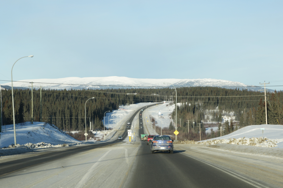
Just after noon we were west of Whitehorse in her pickup on a nearly-empty highway.
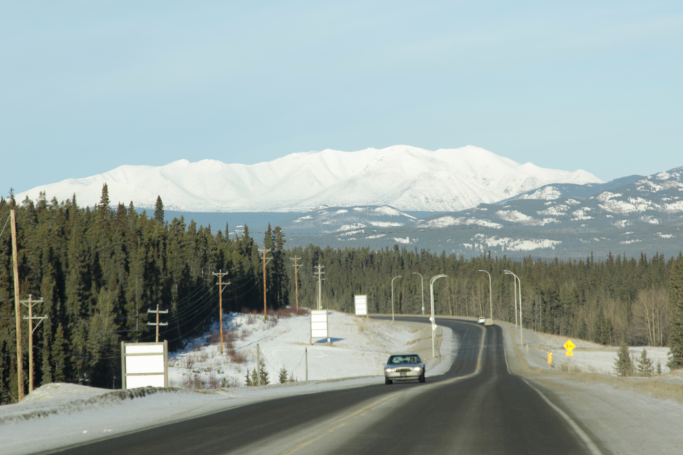
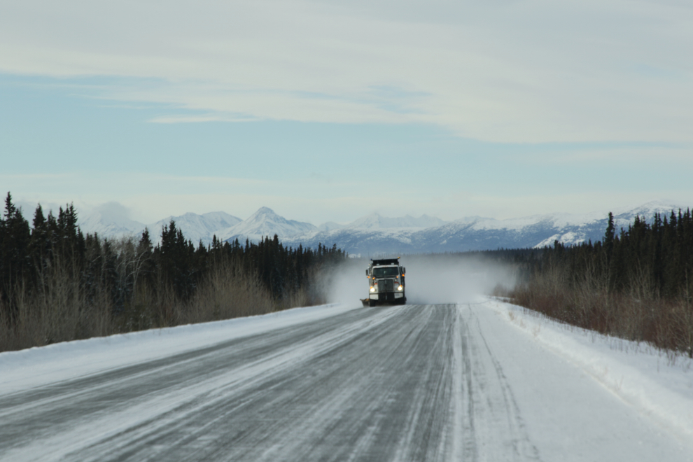
Much of the drive to Haines Junction is through country that’s pleasant but not spectacular. There’s a fairly good chance of seeing either elk and/or wild horses, though, and that can quickly turn any day into a “10”. This day, the only thing we saw other than normal traffic was a snowplow 🙂
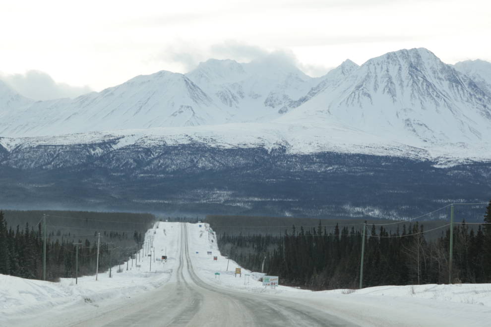
The reported “clear blue skies all the way to the junction” wasn’t the case, and none of the mountain views that often get photographed when the light is right got recorded this time. The approach to Haines Junction almost always gets my attention, though. We had already decided to keep going to Kluane Lake, in the hope of seeing thinhorn sheep.
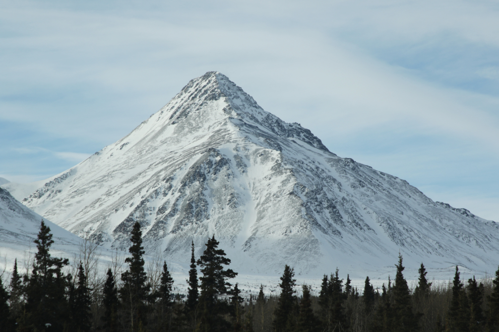
The skies started to clear as soon as we passed Haines Junction, and the depth of snow increased dramatically. The beautiful pyramid peak in the next photo is Mount Decoeli, whose summit is at 2,332 meters (7,651 feet). The hike to the summit gets great reviews, both summer and winter.
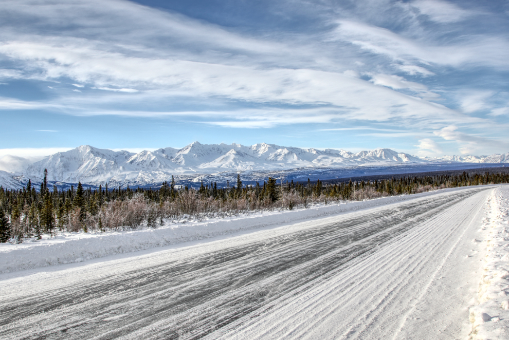
At 2:10 we made our first real photo stop, for this panorama of spectacular peaks. The first photo of 3 was shot at 24mm.
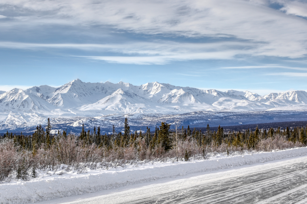
A closer look, at 50mm.
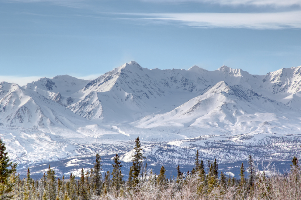
And closer yet, at 105mm.
This spot often stops me – that’s Christmas Creek at the bottom of the valley, at Km 1630.4 of the Alaska Highway. The highway is seen climbing to Boutillier Summit, which tops out at 1,003 meters (3,293 feet). It’s the second-highest summit on the highway between Whitehorse and the end at Delta Junction – we had already crossed the highest, Bear Creek Summit, which is only 1 foot higher.
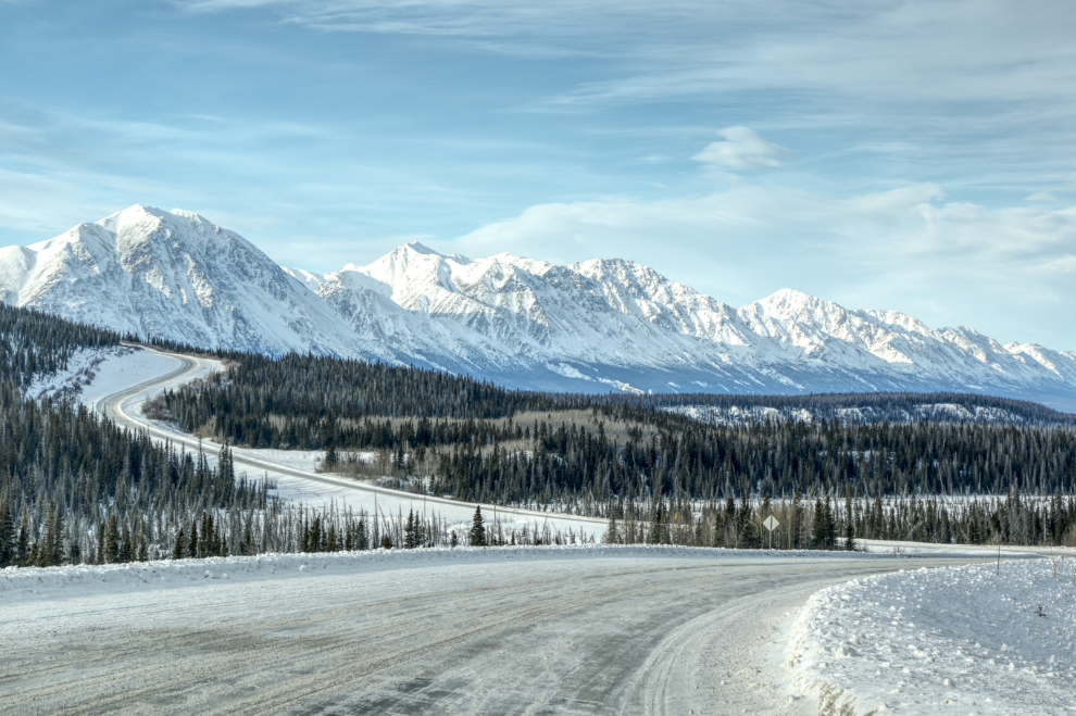
Dropping down to Kluane Lake, at 2:35.
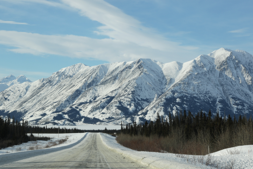
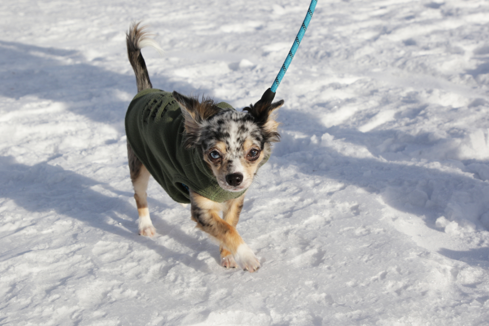
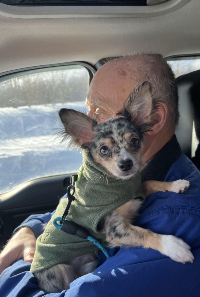
Sheep Mountain, seen from the large pullout at Km 1642.1. We had a puppy with us, and it was time for a bit of a walk. PUPPY??
Yes, puppy. Meet Chandler 🙂
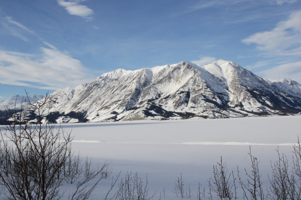
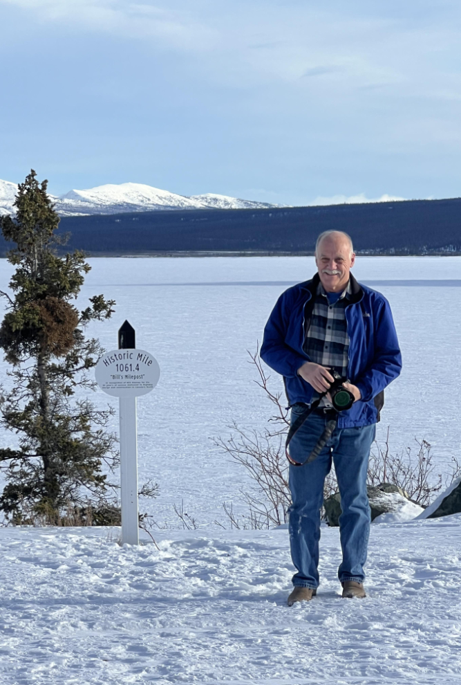
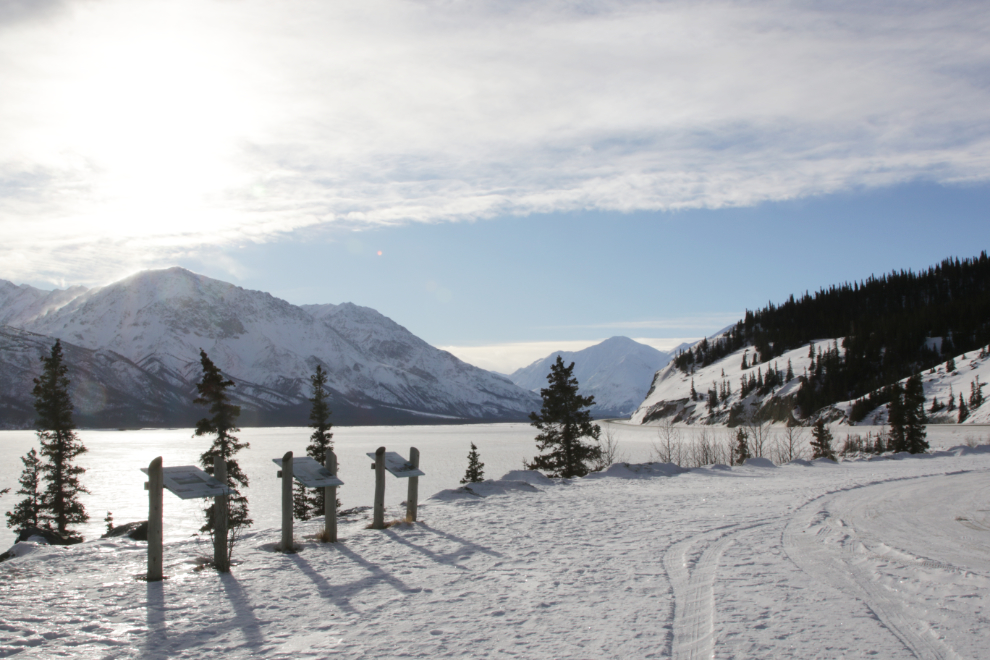
The viewpoint at Km 1642.1, across from the very popular Soldiers Summit hiking trail, is where we turned around.
One last photo of Kluane. We had no luck with sheep, either, but we were going to get a second chance at wild horses and elk. Yes, hope springs eternal… 🙂
Chandler thought this was a good place to ride for a while, and even to take a short nap.
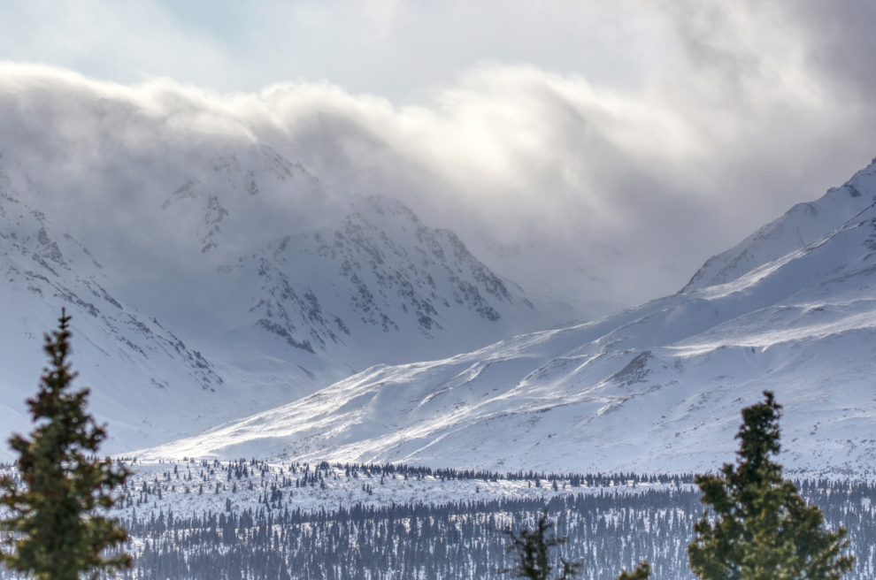
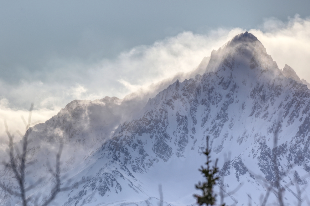
Clouds from the coast were piled up against the mountains, making for some very powerful sights.
The road conditions were good all the way.
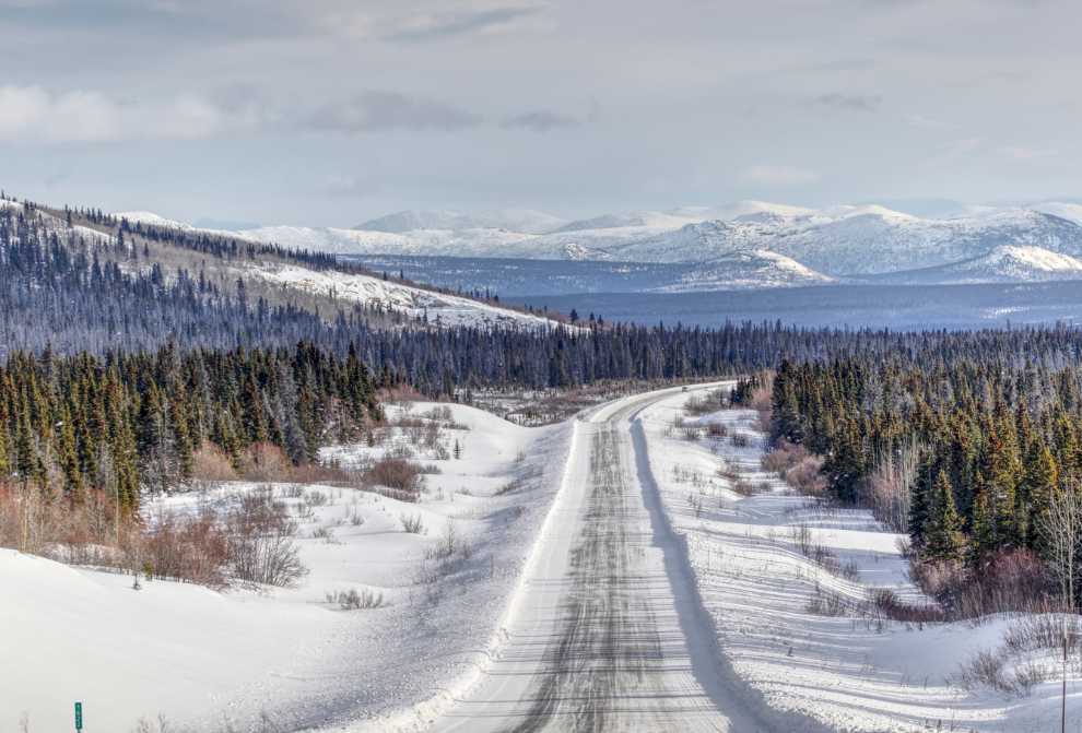
A final shot of the Kluane mountains. The power of this went right to my bones. I love this area, and decade after decade, always have.
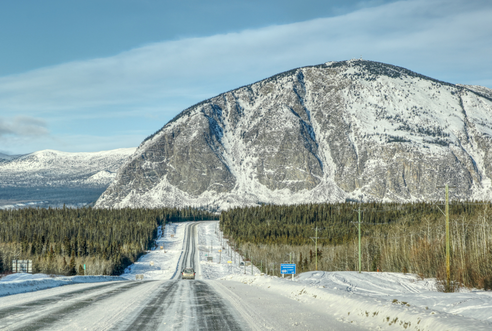
Paint Mountain overlooks Haines Junction from the east. There’s a complex of communications equipment of top, which used to be serviced via an aerial tramway. The tramway was taken down many years ago, and now there’s a hiking trail (though helicopters are used to service the equipment).
Being a passenger is much easier for me than driving now, but I was still exhausted by about 4:00, so was pretty quiet, and went to bed when I got home. It was a great day, though, and served as incentive to get out again soon.

Some really stunning scenery. Liked that none needed (or might have benefitted from?) HDR imaging… thanks as always for sharing.