A mid-Winter look at the spectacular White Pass
It felt so good to be on the road to Kluane Lake on Monday, I decided on Wednesday (February 14th) to drive to Skagway. Although I didn’t make it, the White Pass was so incredible I have to show you.
The outing got off to a rough start. I forgot Bella outside, and only realized it when she and the dog next door decided they wanted to kill each other as I was pulling out of the driveway. Then I was about 10 miles down the highway when I realized I didn’t have enough gas to make the trip, so had to make a U-turn and go back towards Whitehorse to rectify that. *sigh*
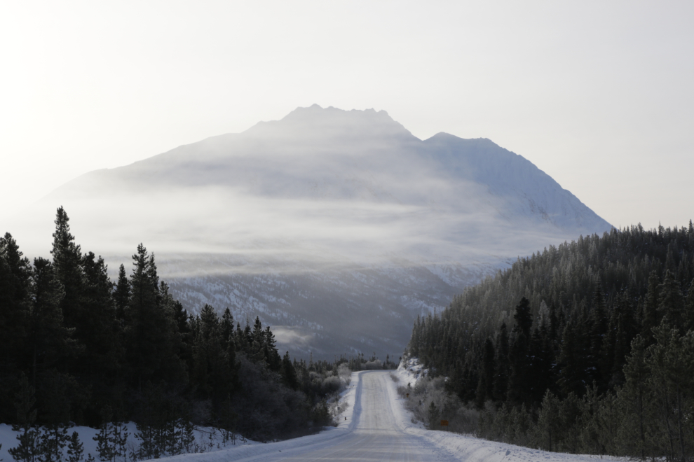
The weather forecast reported sun all the way to Skagway, but by the time I neared the Lewes Lake Road (Km 128.6) at 10:45 (sunrise had been at 09:44), it was clear that that was not going to be the case. Fog patches can make for some interesting photos too, though.
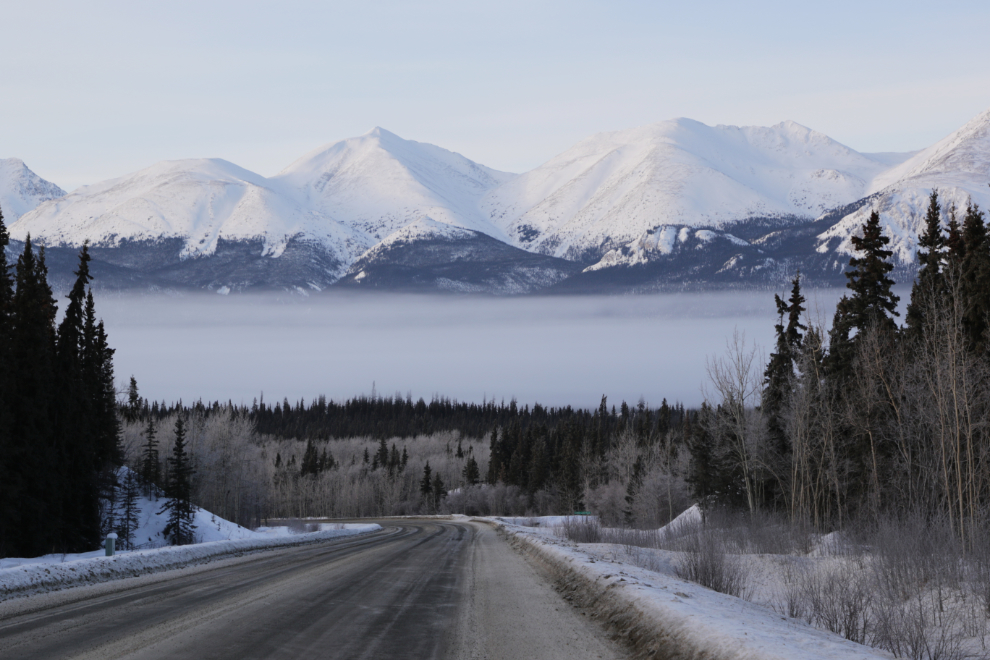
The next photo shows a view of Lime Mountain that often stops me. It looked like the Bove Island viewpoint would be in the fog – it was actually just at the edge of it, but there was no Kodak moment there.
I was in and out of the fog, but the views that were available sure had me hoping the fog would burn off quickly.
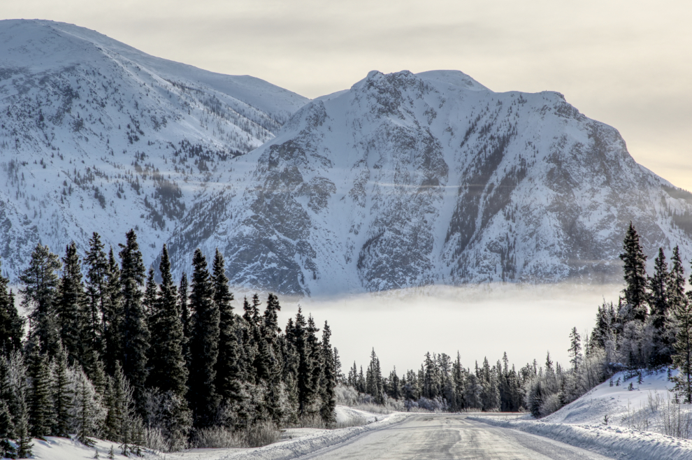
It was quite dreary at the Venus mill at 11:25.
At the bottom of that dip ahead is the entrance to the beach on Tutshi Lake where I usually walk the dogs, but with the dogs at home I didn’t stop this time.
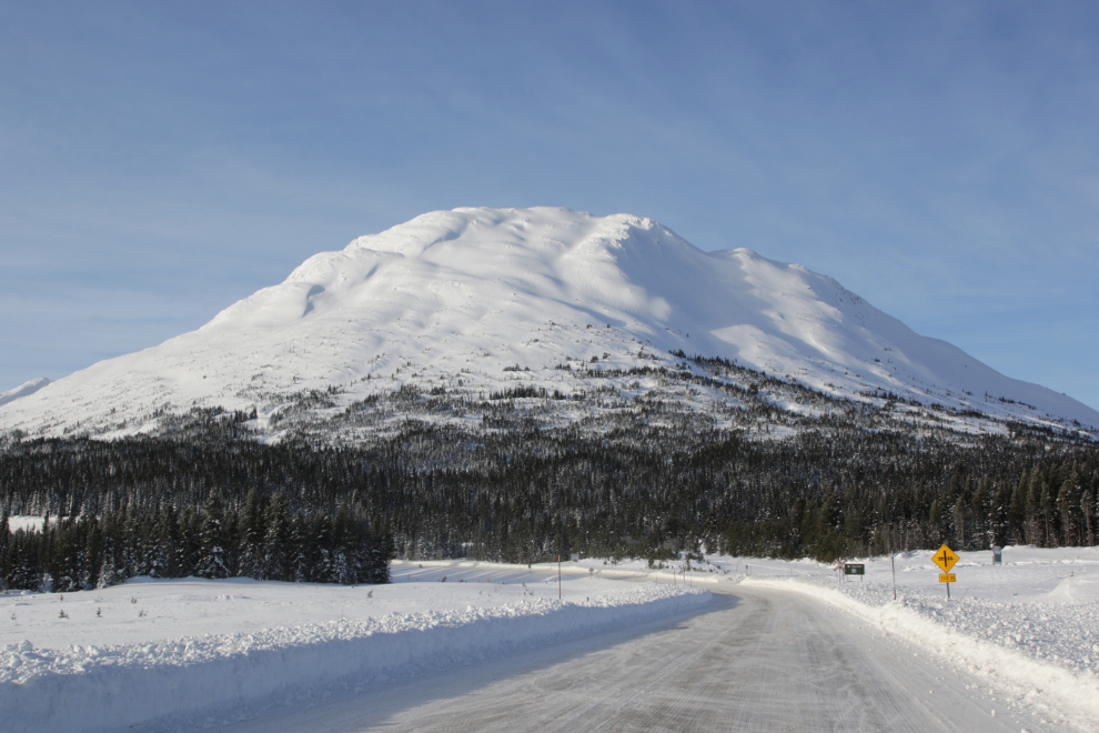
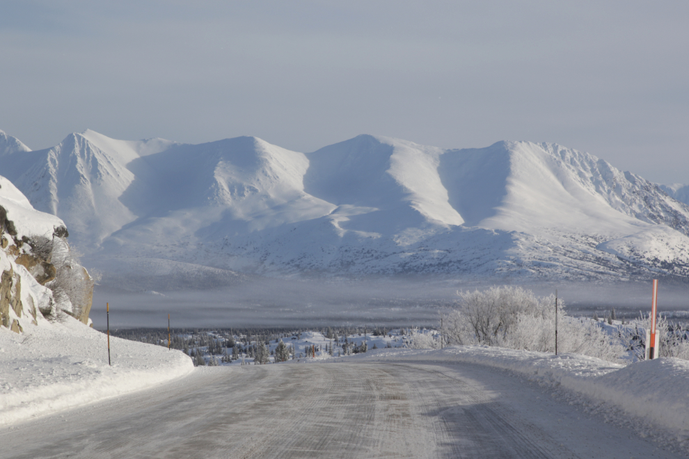
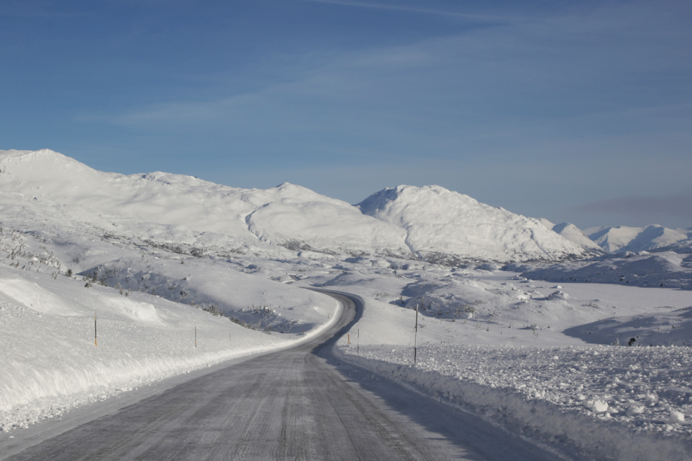
Mount Halcyon fills the view southbound at Log Cabin, where the highway crosses the White Pass and Yukon Route railway, which heads over to the next valley to the west.
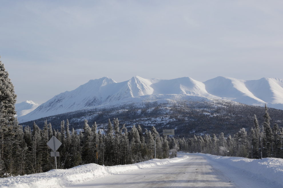
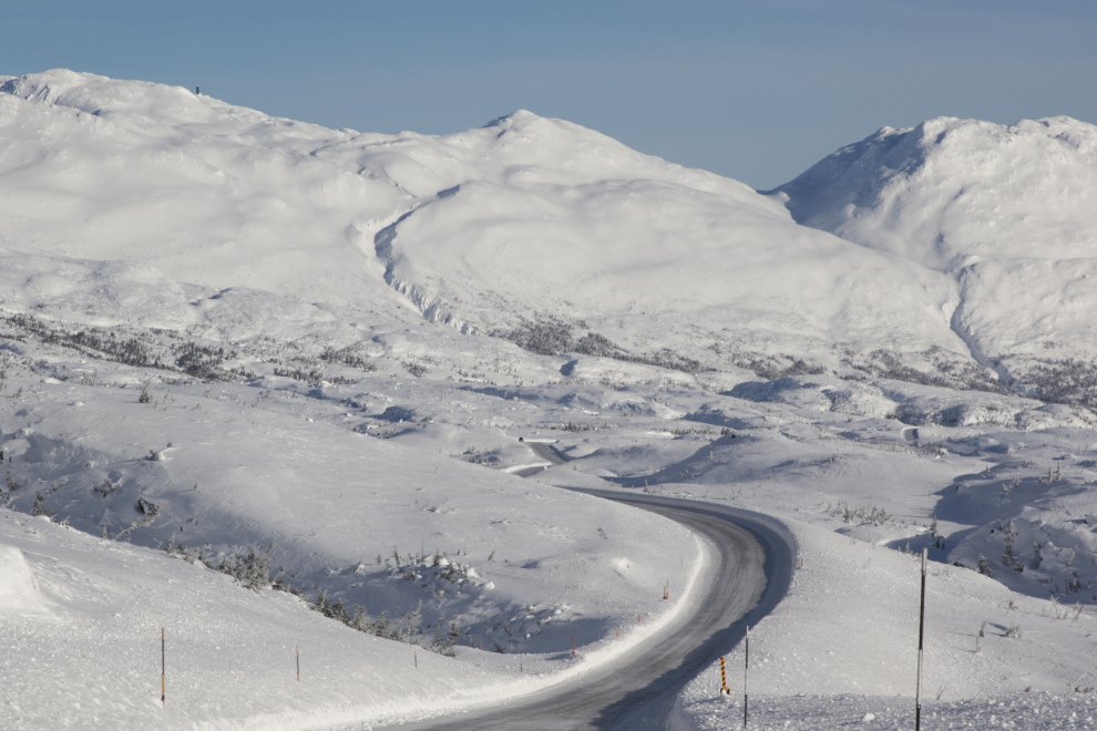
The view back to the north from that same spot.
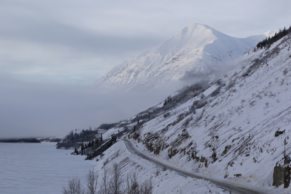
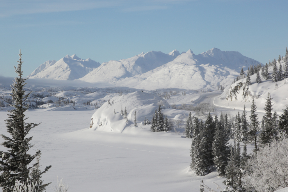
Another common photo-stop for me, with Ptarmigan Point below on the rail line.
Again, the view back to the north from that same spot.
The banks of snow were almost 5 feet high with sheer, solid sides, making getting the shot I wanted of Fraser difficult.
I decided to kick a couple of steps into the bank to get the height I wanted. That’s better! 🙂
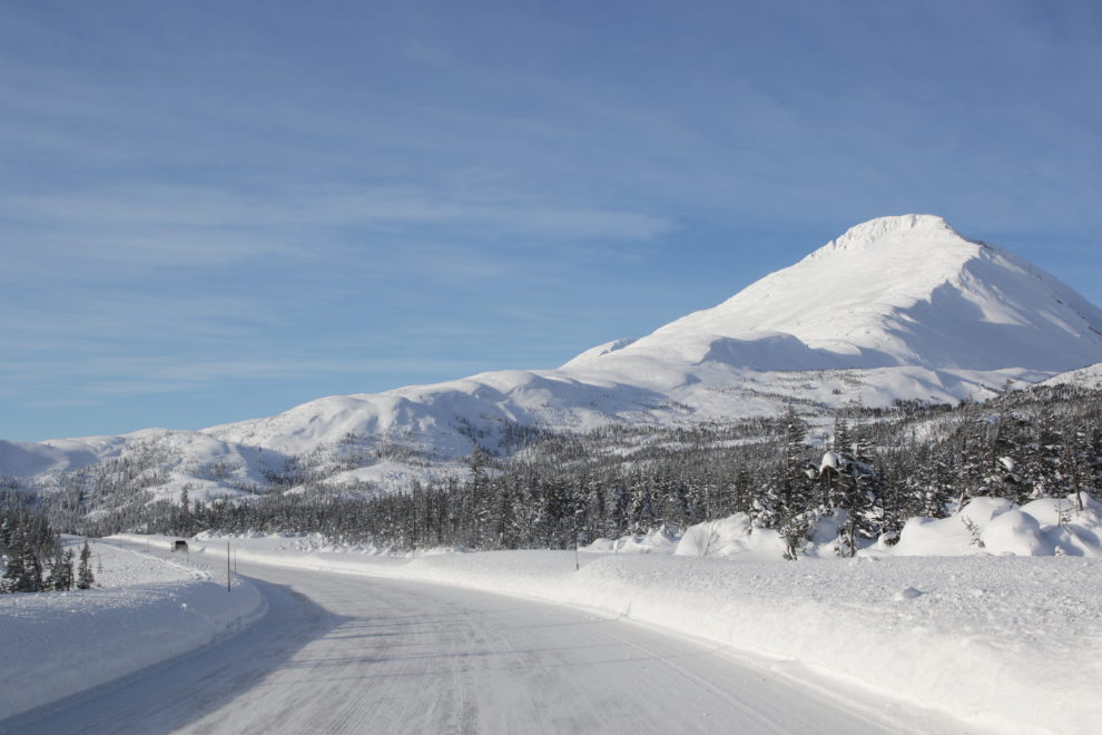
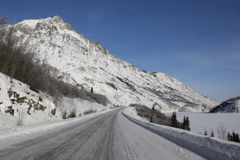
This mountain just south of Fraser is officially identified as Taiya NE4, meaning it doesn’t have a name but is 4 miles northeast of Taiya Peak. It’s commonly called Fraser Peak, though. It towers above Bryant Lake, one of my favourite hike sin the White Pass.
At the White Pass summit, International Falls was well buried. The wind was bitterly cold.
The summit was as far as I made it. I had been getting increasingly brain-sick for the past half-hour or so, and had to quit here, despite having made plans to meet a friend in Skagway. I took a break, possibly a short nap, and turned around 🙁
The view just north of the summit, with Summit Lake on the right.
The same view with a bit longer lens.
I took another break at Summit Creek. I thought a bit of a walk might help, but it didn’t.
The view along Summit Lake.
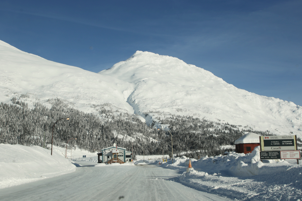
The Canada Customs post at Fraser. Clearing was quick and simple as usual. Even though I hadn’t geographically left Canada, there’s a name for going beyond the Customs post, which makes it almost the same as leaving.
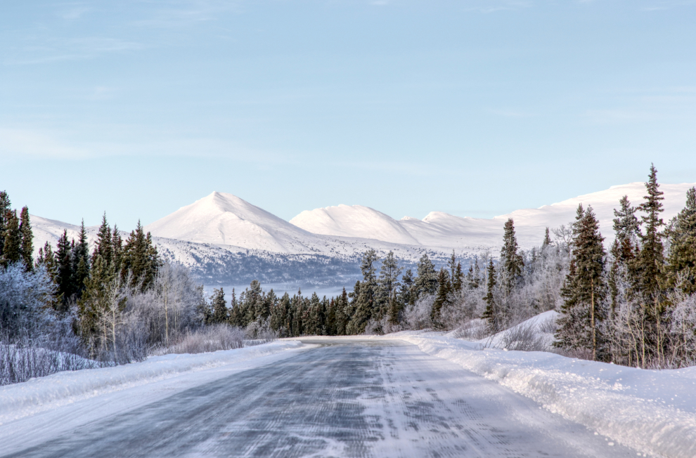
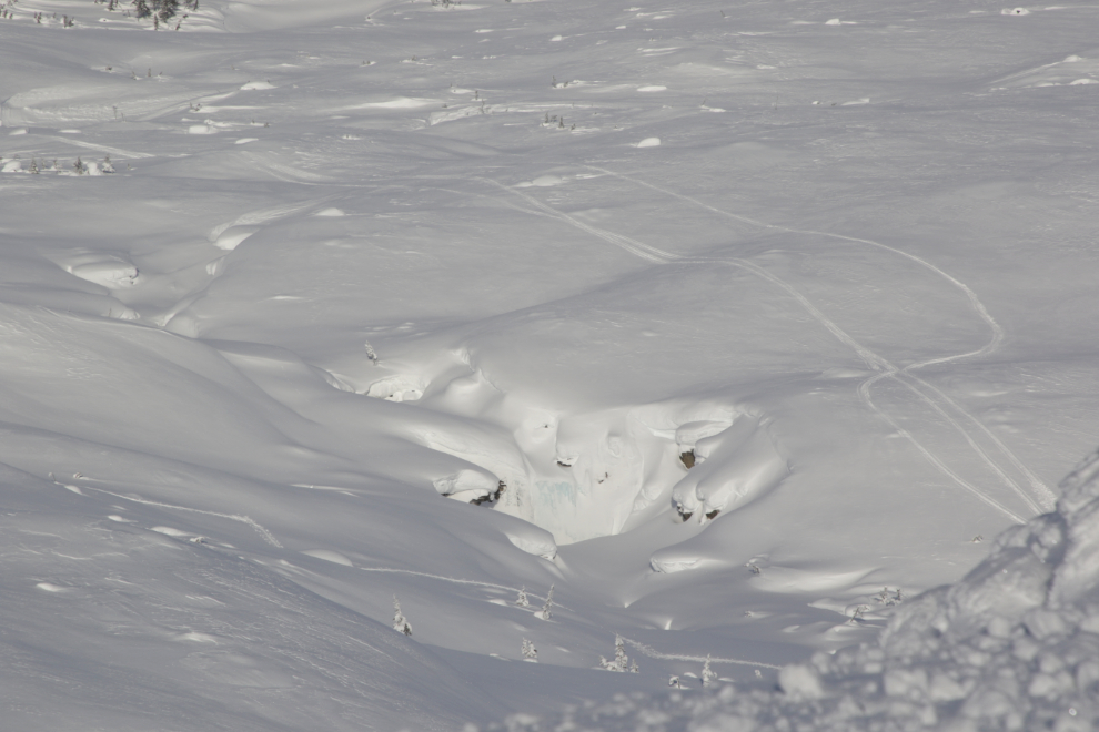
A little lake just north of Log Cabin. I assume there had been a fog layer about 30 feet above the ground, which frosted the tops of the trees.
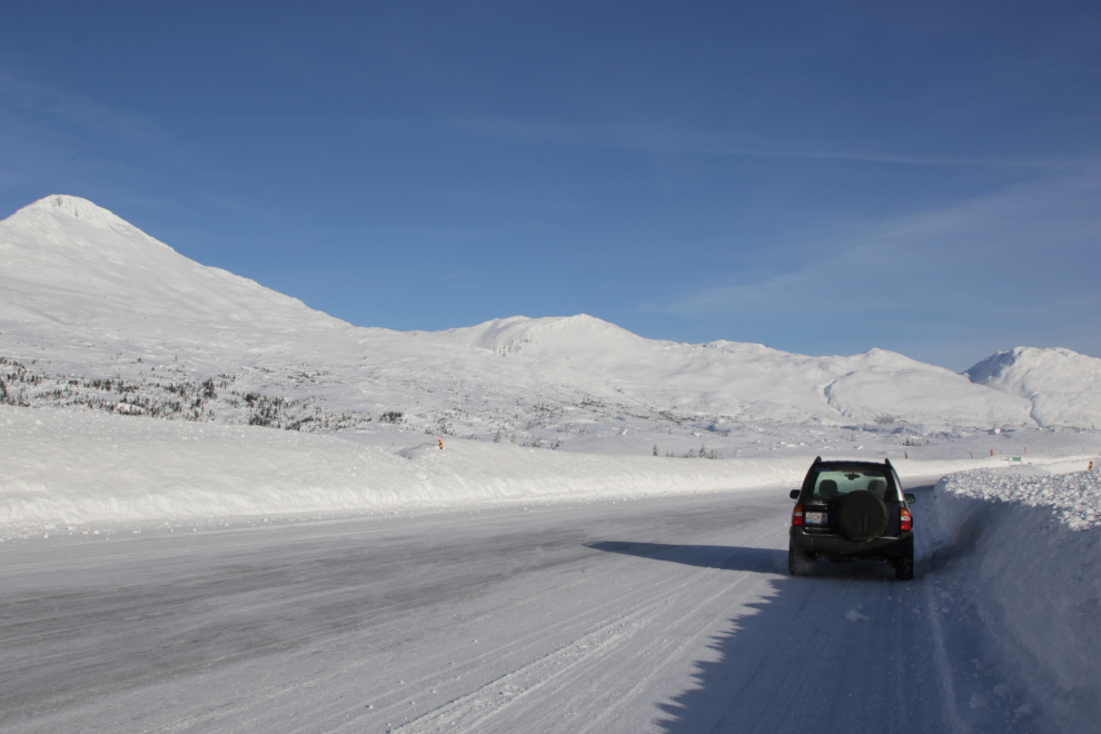
Dail Peak, right at the BC-Yukon border.
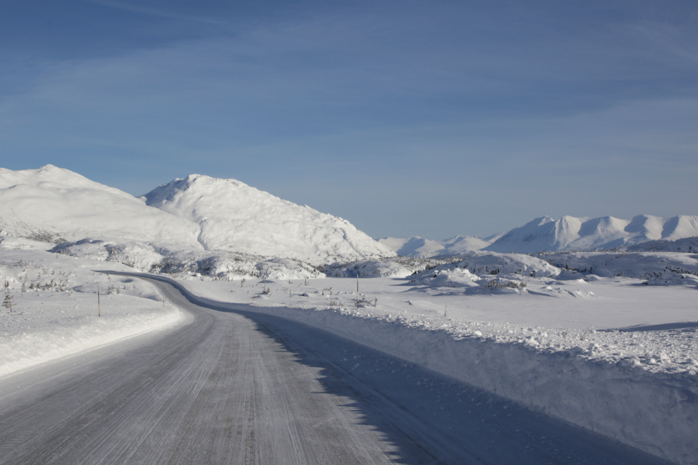
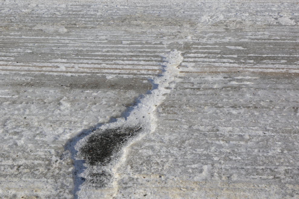
The next photo shows what the road surface was like for much of the distance from the Venus Mine south – about half an inch to an inch of solid ice. I passed a grader with its ice blade down, but it seemed to be having little effect.
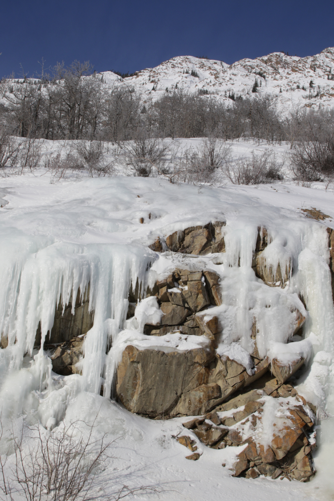
Icefalls consistently grow from a spring above the highway just south of the Venus Mine, and the ice sometimes encroaches on the road.
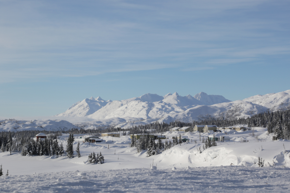
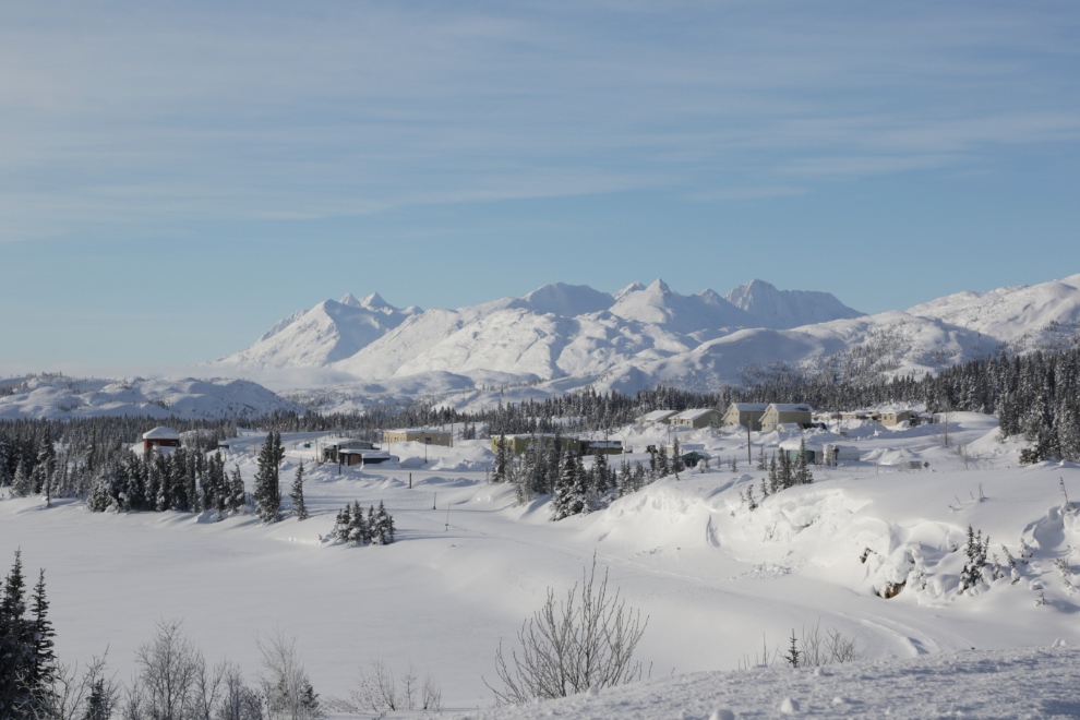
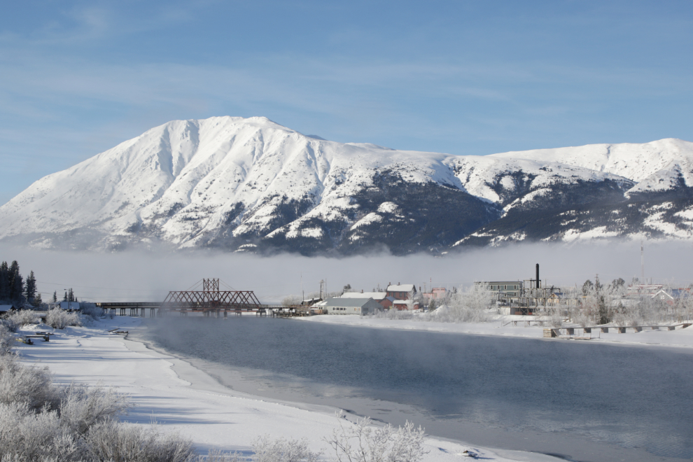
By 1:40 I was exhausted, but couldn’t resist one more photo at Carcross. I took another break at the boat launch there – just enough to get home.
I need to come up with a plan for how to make drives like that work – I have no idea why that one went badly. But the White Pass will still probably be the first place I take the motorhome when it warms up. And it may not have to warm up a lot – Spring snowshoeing there can be wonderful.
This is post #1,566 since the first one on April 25, 2006 🙂
I know it is a bit limiting, especially on the good days, but when you can get a good natured ride along companion (as opposed to one of the furbabies, lol) to relieve you of the return driving. Wonderful shots…and that you enjoy each minor or major change in mountain view, perspective for the umpteenth time… I imagine you and many others are counting the weeks until the rails get cleared of the white stuff.
CommentJust discovered your website and blog and look forward to wandering around both of them. Just amazing pictures. We will be there in the spring/summer so will have to do with your pictures to see what it looks like in the winter. Not sure I’d want to be there in our 5th wheel, in the winter anyhow.
Welcome Eric 🙂 I hope you have a wonderful trip when it warms up – you’re right that this is not a good time to be wandering with a 5th wheel!
Beautiful photographs of the snow bound and aptly named White Pass. It’s ok that you could not get all the way to Skagway. Your focus was and should remain the White Pass, especially this time of year on such a sunny day.
Thanks, Abe. Yes, it is hard to feel bad about “only” being able to get to the White Pass summit.