A bike trail to the Yukon River and plane crash wreckage
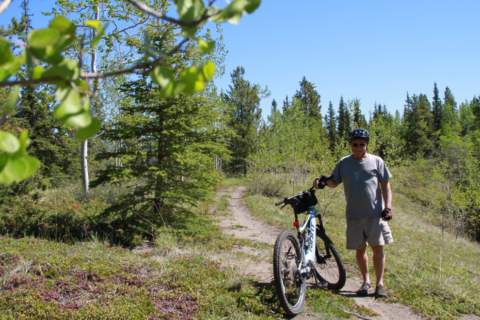
I’m getting the e-bike out fairly often, and am extremely pleased with the bike (a Giant Fathom) and the trails available to ride. Yesterday I went on a route that was particularly interesting, ending at a beach on the Yukon River, where I found some wreckage from an old plane crash. You can see a map and video of the 19.9-km route at Relive.
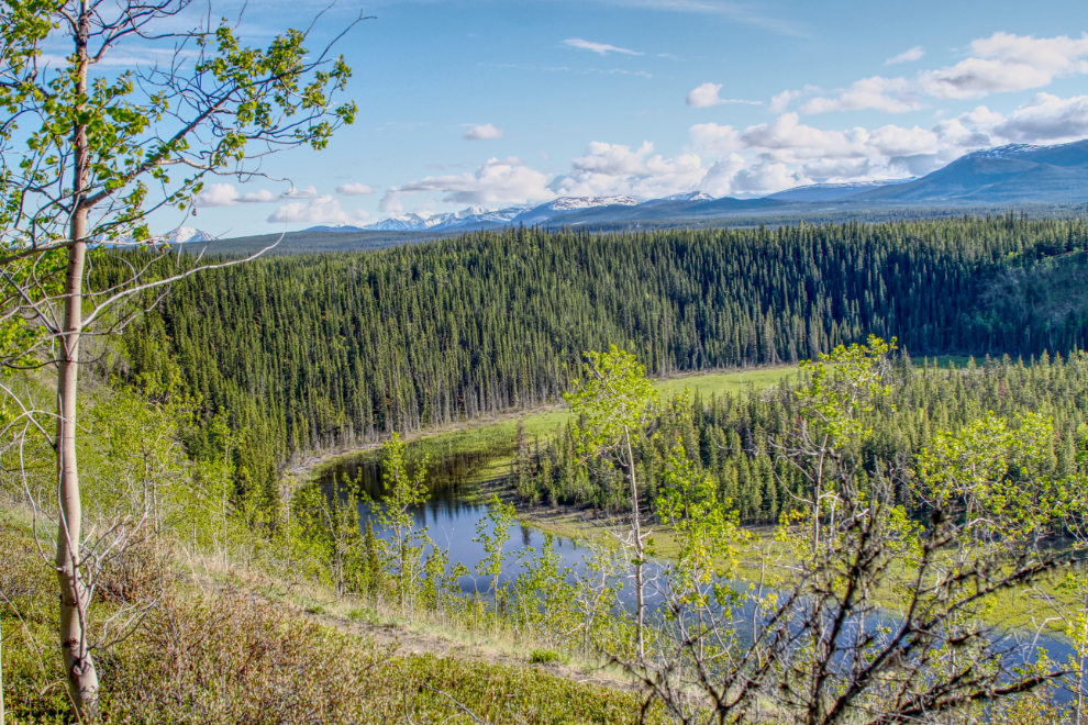
There’s a bit of back-story to this route. On June 6th, I posted the photo below on Facebook, from that day’s 18.3-km ride. The photo shows an oxbox from the Yukon River many thousands of years ago. A neighbour asked me about the trail, and when she and her husband took their dirt bikes out the next night, they found a road to the river. That spurred me to find it.
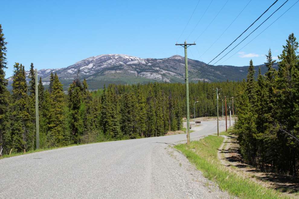
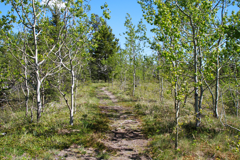
I took the long way around to the start of the bush trail yesterday, riding through a bit of the adjoining Cowley Creek subdivision. The first photo was shot at 1:16 as I started down the hill to the Alaska Highway – that’s Grey Mountain in the background. Turning left on the highway, I was soon at the access road to the radio-controlled aircraft modellers’ airport – the bike trail leads off from it.
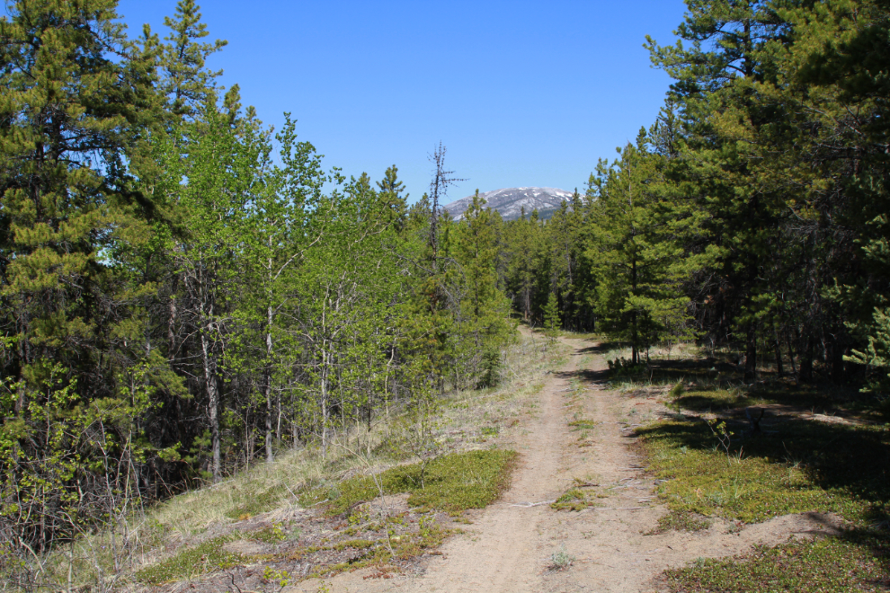
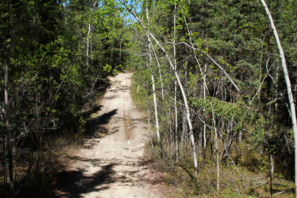
The next photo was shot at 1:24. At Trailforks.com, this trail is called “3 Benches”. The network of roads and trails back here is amazing. Some is only wide enough for the bike, some is used by ATVs, and a tiny bit can be driven with 4×4 trucks/cars.
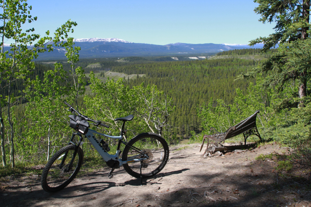
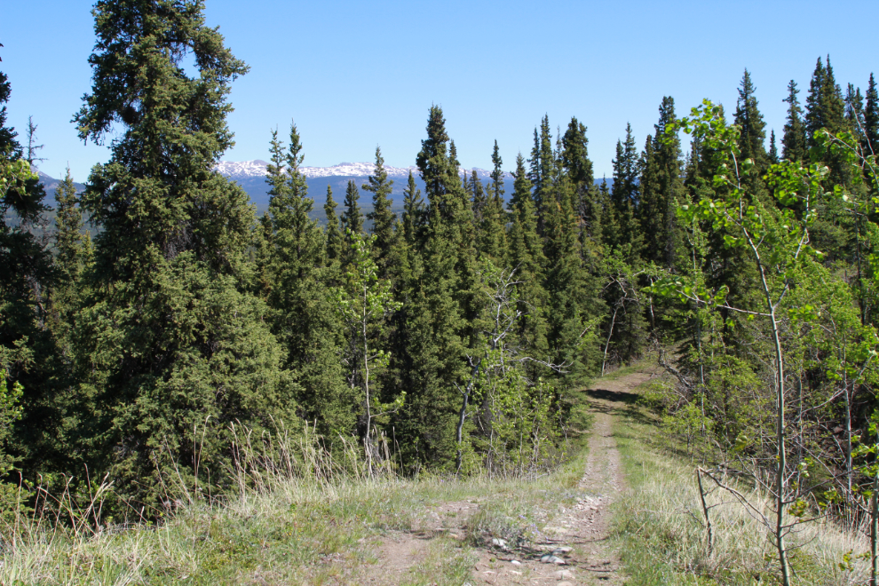
Looking northeast from one of the benches that give the trail its name, at 1:33.
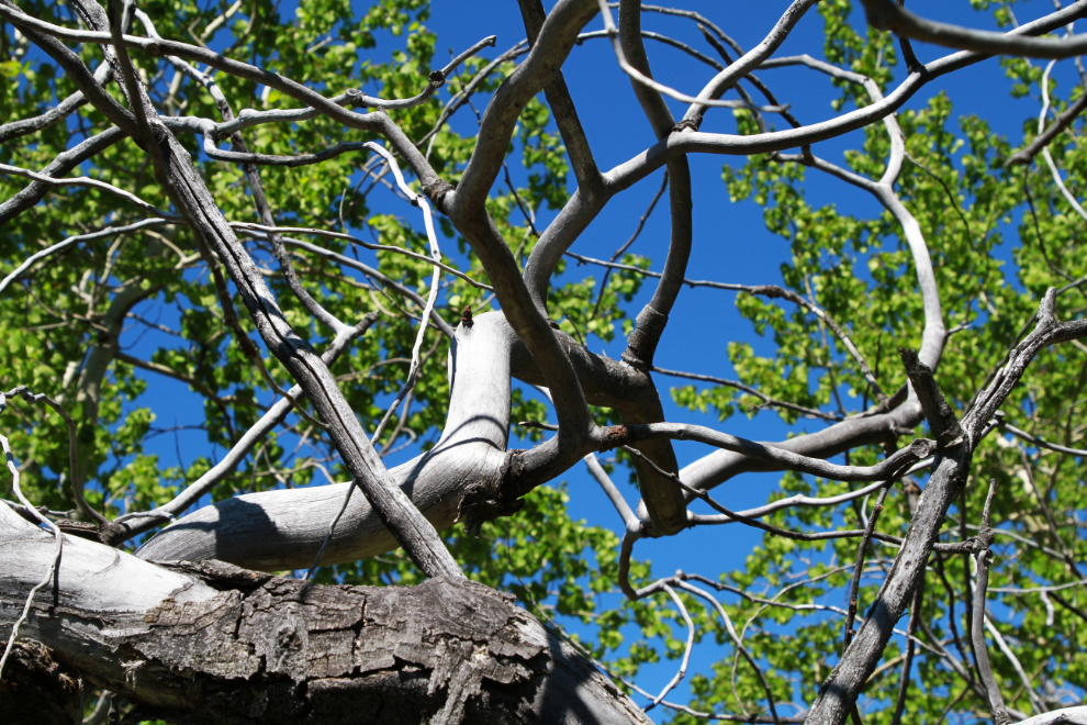
A particularly pretty part of the trail, high on a post-glacial esker (the gravel deposit of a sub-glacial river). I was extremely surprised to meet a school class here, out for a long walk from Golden Horn Elementary. I pulled off to the side and waited for them all to go by.
This contortions of this dead tree at that same spot are wonderful.
The esker at this point is about 60 feet high.
Photos don’t really show how steep hills are. I’m getting more confident with the bike every day, but this hill I reached at 1:45 is right at the limit of what I’m okay riding down. Just around that corner, the up-hill is even steeper, but going up is easier.
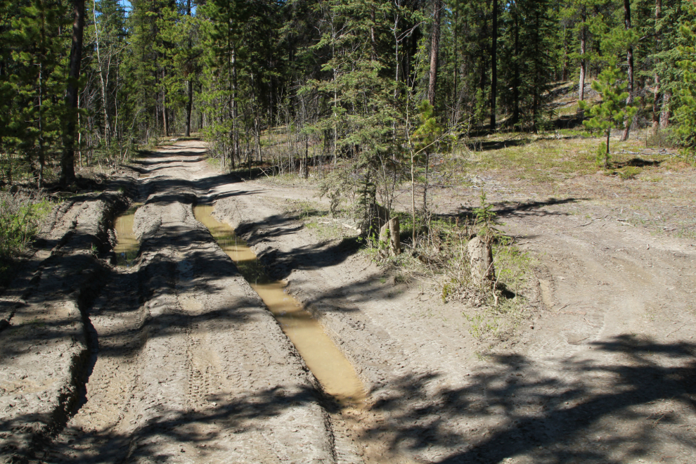
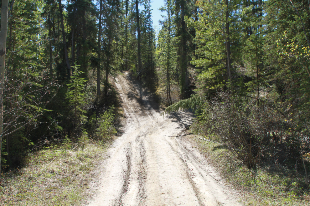
When “3 Benches” turned to the east, I took a faint trail north, and within a few hundred meters was on this road. A few signs show it as a personal firewood cutting area, though I saw no indication that any cutting has been done in recent years. The road wanders up and down and around, and some of the hills are quite steep.
It’s extremely nice to see the trails finally drying out now. I reached this spot at 1:56, with the temperature at 18°C/64°F.
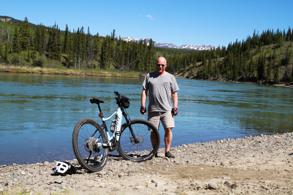
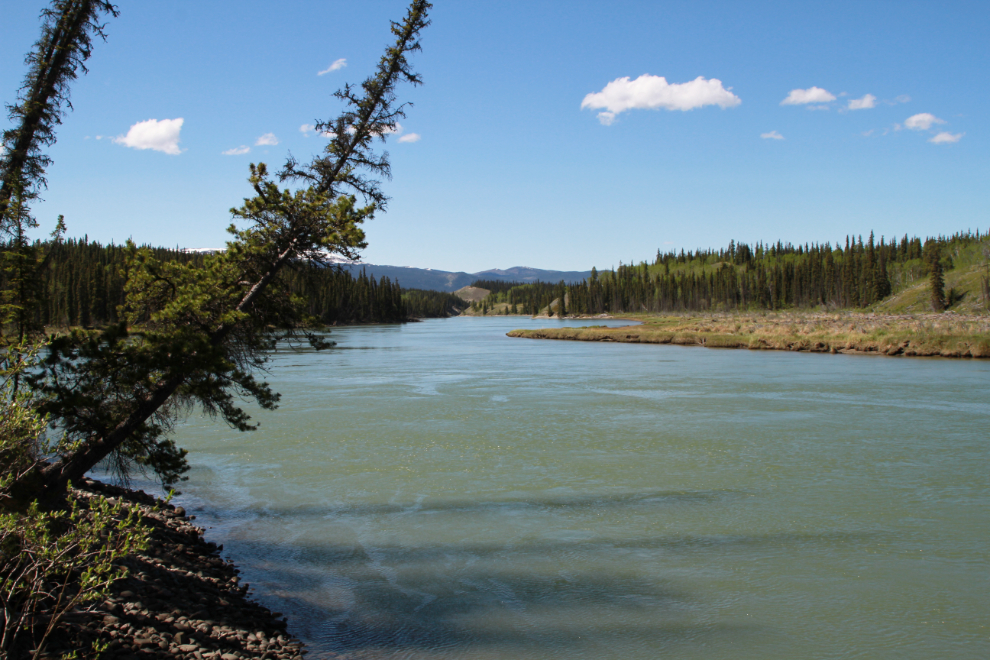
Right at 2:00, I reached the Yukon River – success! I spent a few minutes here, just enjoying the warm sun. I am so deeply grateful to be able to once again get to places like this. My mental health requires places like this.
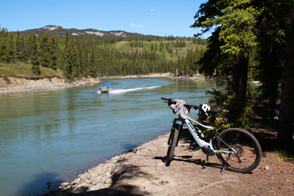
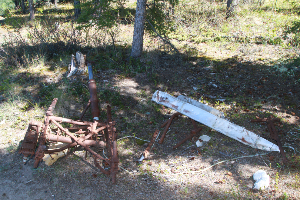
That wasn’t the beach that Lisa had posted a photo of, and there was an intriguing piece of equipment in one of her photos, so I went looking for it. A branch road a few hundred meters back had me to that beach in just a few minutes. The next photo was shot there at 2:27. This photos says “Yukon Summer!” to me – pick your favourite toy and get out there 🙂
The next photo shows that intriguing piece of equipment. I couldn’t figure out the piece on the left, but the aluminum to the right said “plane crash” to me. A post on my “Yukon History & Abandoned Places” group when I got home soon showed it to be the wreckage of Avro 652 Anson CF-GML (see a photo of the plane here). On August 24, 1964, the plane, operated by Spartan Air Services, was stolen by a crew member, 26-year-old mechanic Wesley Weston, on an apparent suicide mission which was successful. 🙁
Looking down the Yukon River towards Whitehorse from that spot.
Heading home at 2:45. The road ahead is very steep, the one to the right not as steep, and they re-join in 100 meters or so.
I stayed on the dirt road on the way home, to see where it came out. I met the school class again, about a mile from their school.
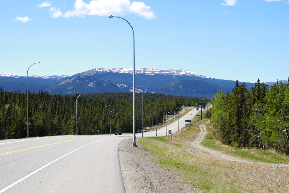
I only had a couple of miles of Alaska Highway to ride along – the final photo was shot at 3:04 right at the “Welcome to Whitehorse” sign.
This turned out to be an excellent route that I’ll certainly ride again.
Comment Thanks Murray. Just like I was there.
Thanks, Harry – I’m pleased that you enjoyed coming along with me 🙂