An initial look at a historic mining trail at Tutshi Lake
I’ve been busy during the past 3 weeks, but it didn’t feel like anything was worth a blog post. On May 14th, though, my friend Kevin and I went looking for some trails that we only had hints about.
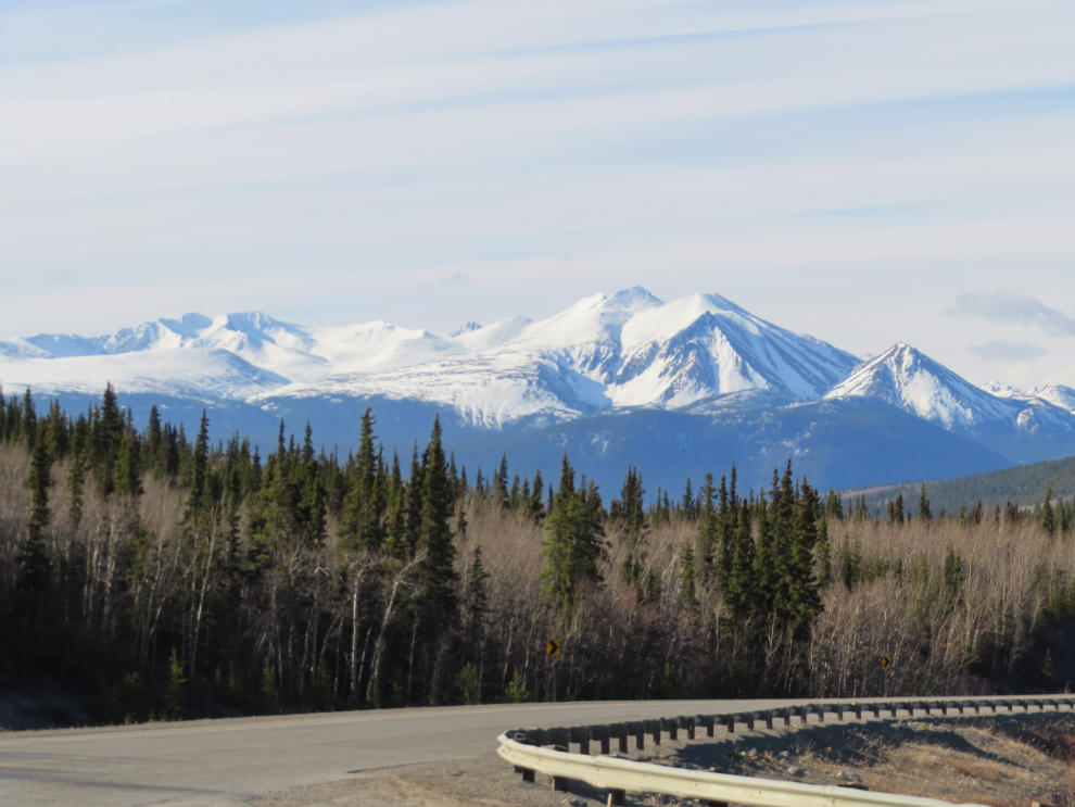
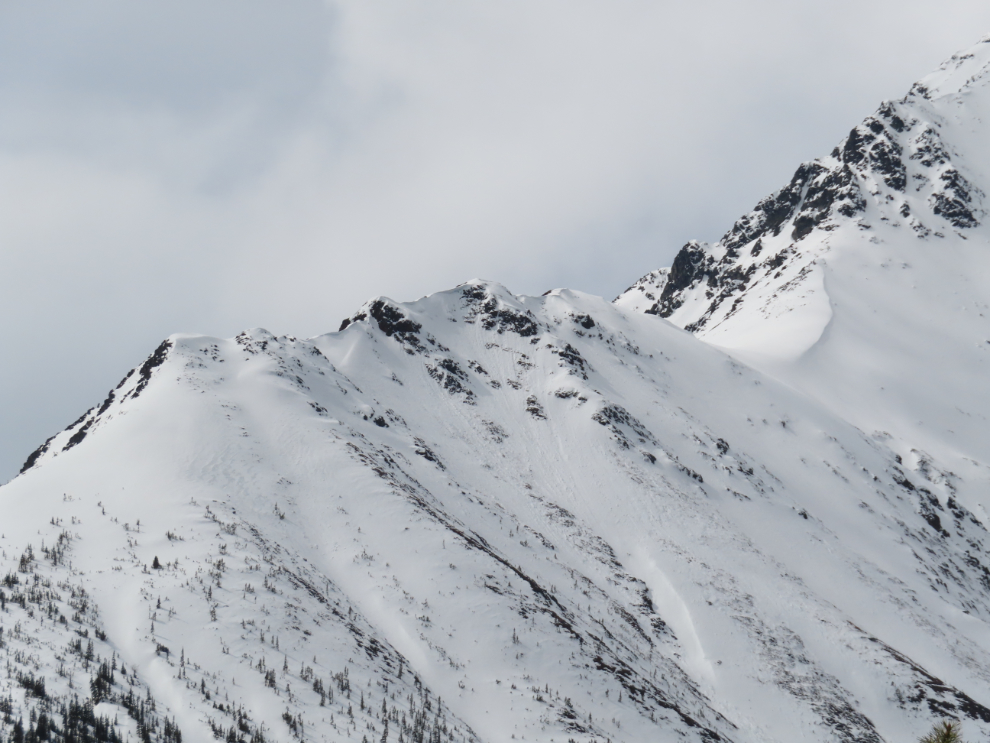
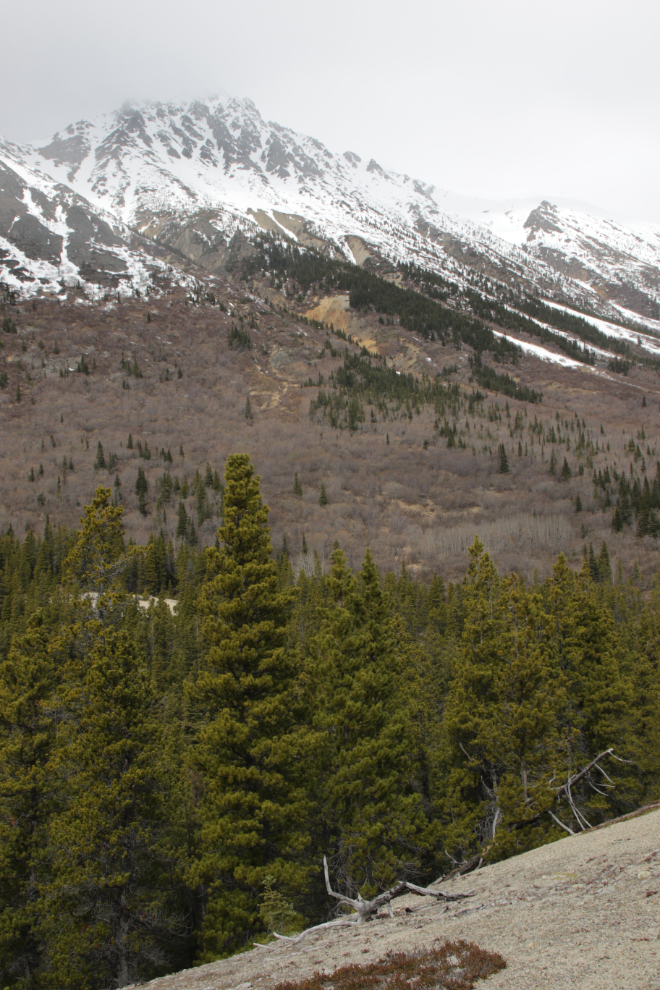
This view of Montana Mountain on the drive south made it clear that we wouldn’t get very far up any mountain.
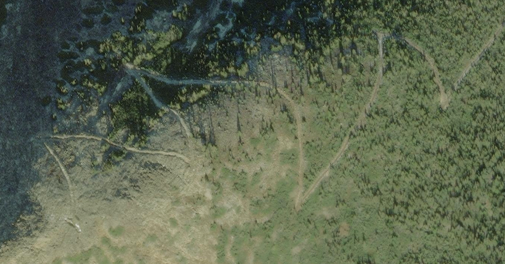
The trail that we decided to do a proper look at was triggered by this undated but fairly recent satellite photo.
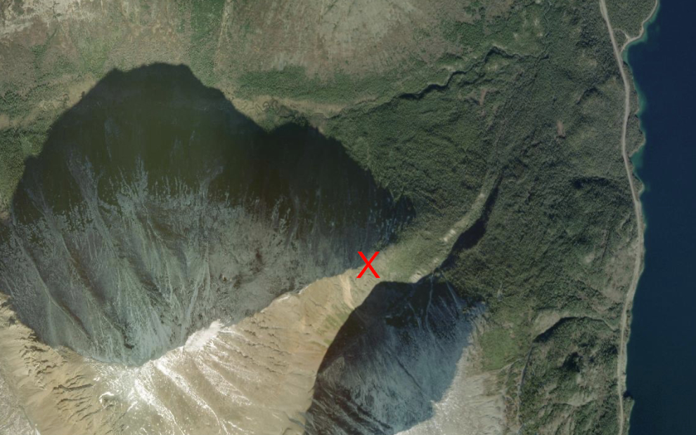
Those roads are on a high ridge right at treeline, shown by the red “X”. Many years ago I found an old aerial photo that showed buildings at the upper end. Given the difficulty of getting to that location, I assume it was a gold mine, but I’ve not been able to find it documented or even mentioned yet, in mining records or newspaper files.
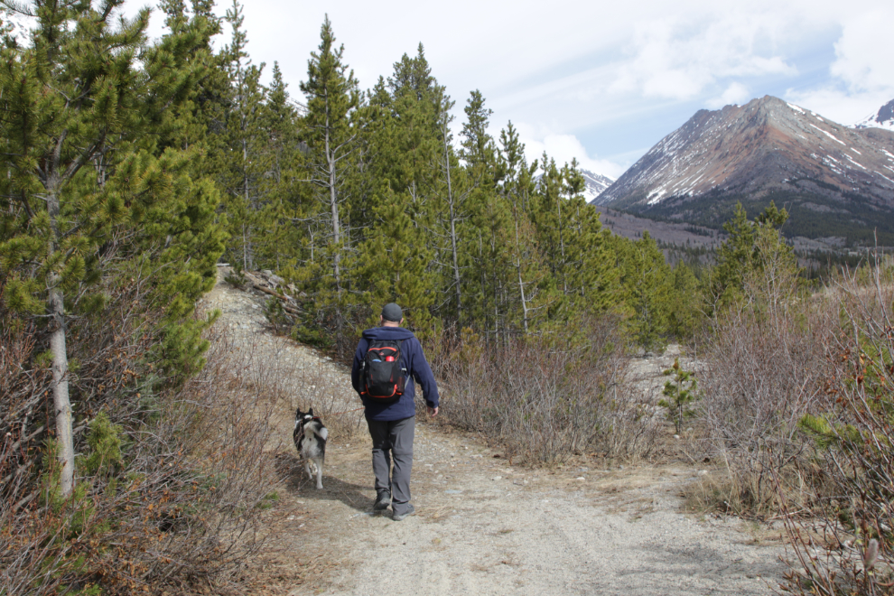
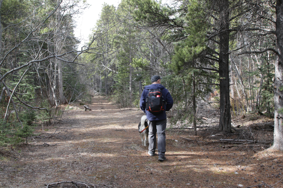
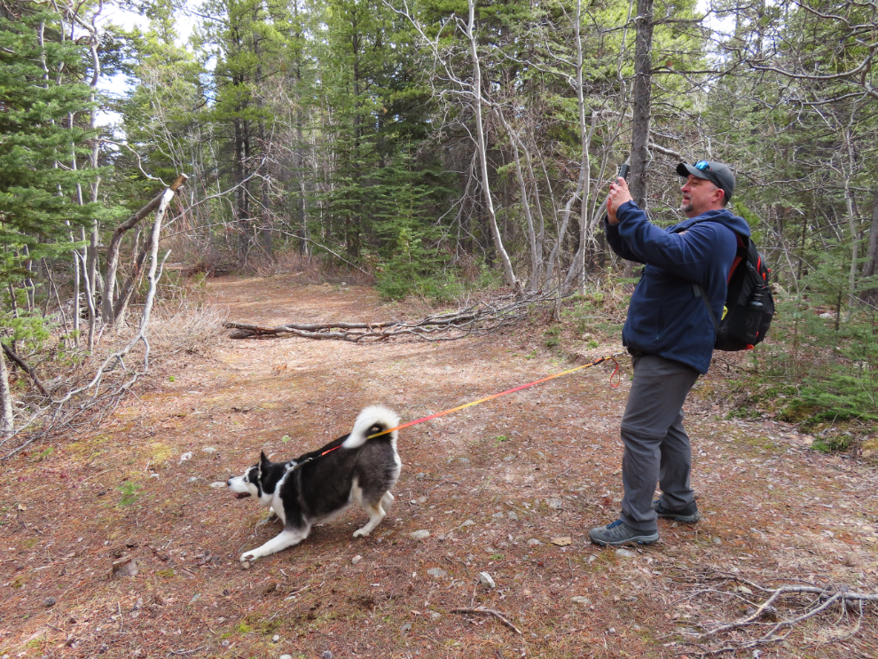
This was our first guess for the start of the trail.
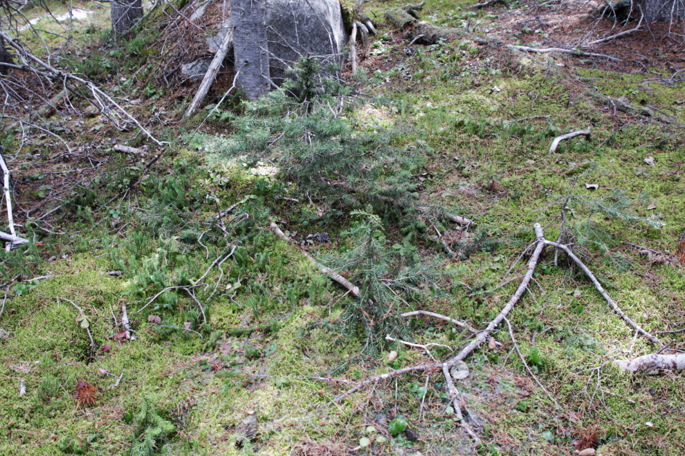
It was a lovely, rarely-used trail.
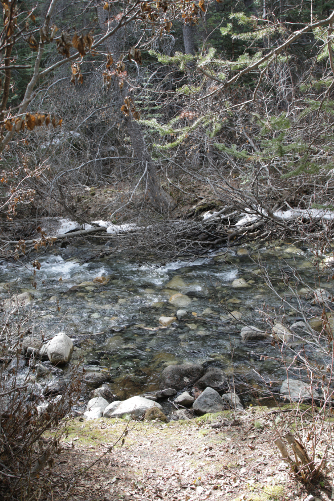
This trail, though, soon ended at an unnamed creek that once had a log or timber bridge across it. While we might had forded it, I had seen another trail on the other side of the creek, that I expected was a more recent detour route.
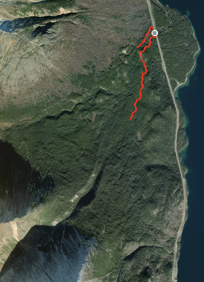
This map of our entire hike shows the dead-end. The scar on the ridge at the bottom left can be seen on the aerials above to be our hoped-for destination – I expect the scar is from mining activity.
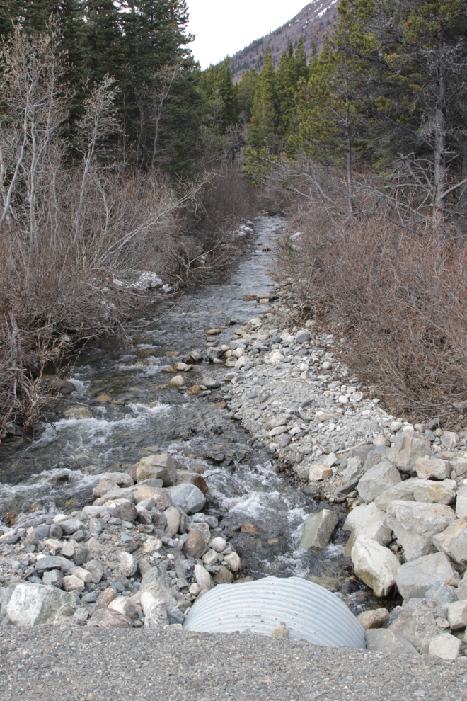
The creek as seen from the highway.
We soon met a Taiga Spruce grouse (Canachites canadensis), who flew onto a low branch and gave us a good display of his beautiful plumage.

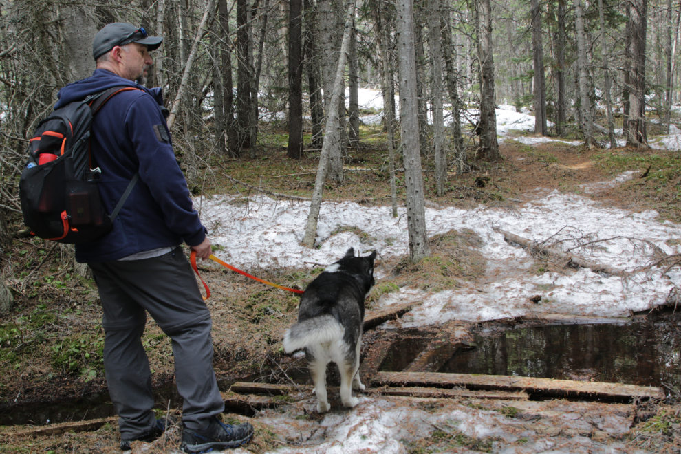
Carbon really wanted to have a closer look! 🙂
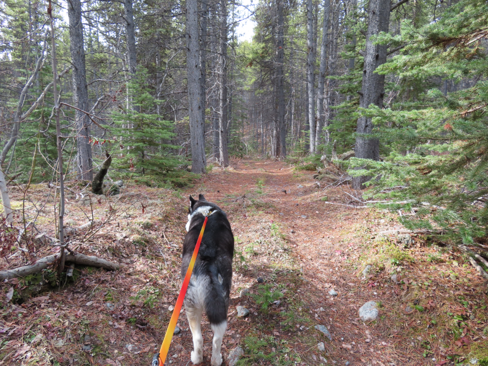
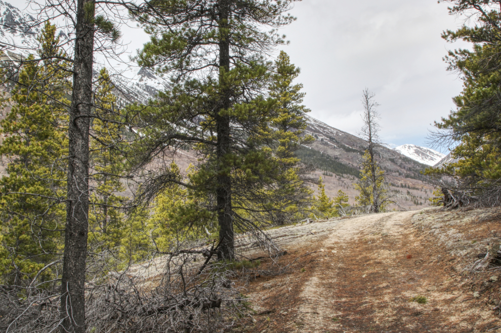
The trail climbed fairly gradually…
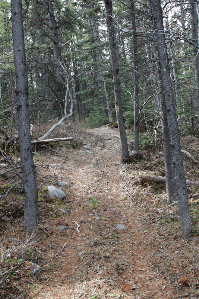
…with a few steep hills.
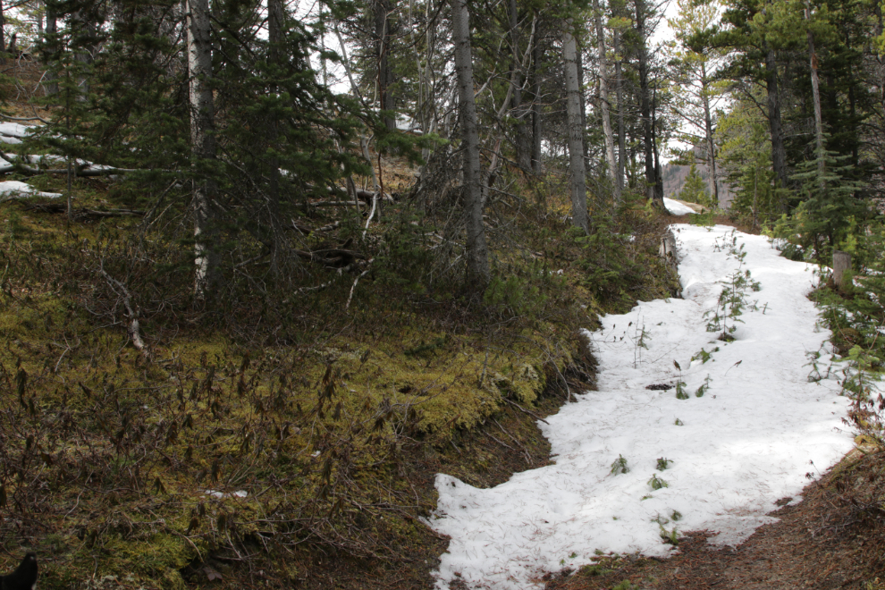
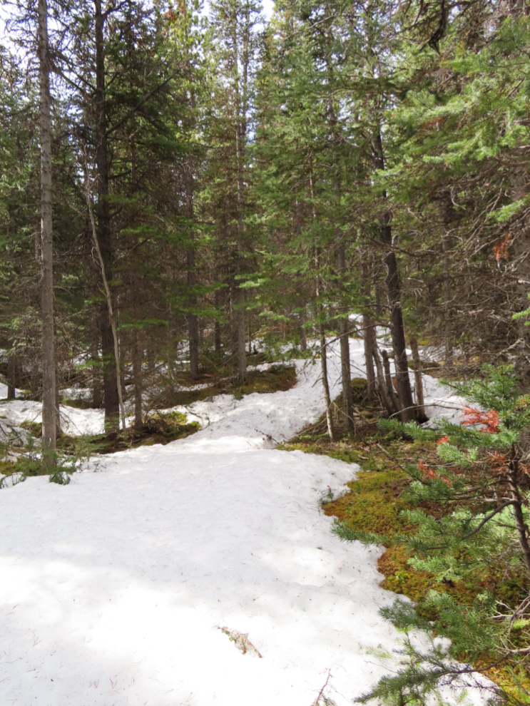
In less than 15 minutes we started to get patches of snow – a small one can be seen in the distance in the next photo.
Then suddenly we reached a patch of deep snow (about a foot). I had left Tucker at home because I expected we’d get into some bushwhacking – while that didn’t happen, even this snow would have been very difficult for him.
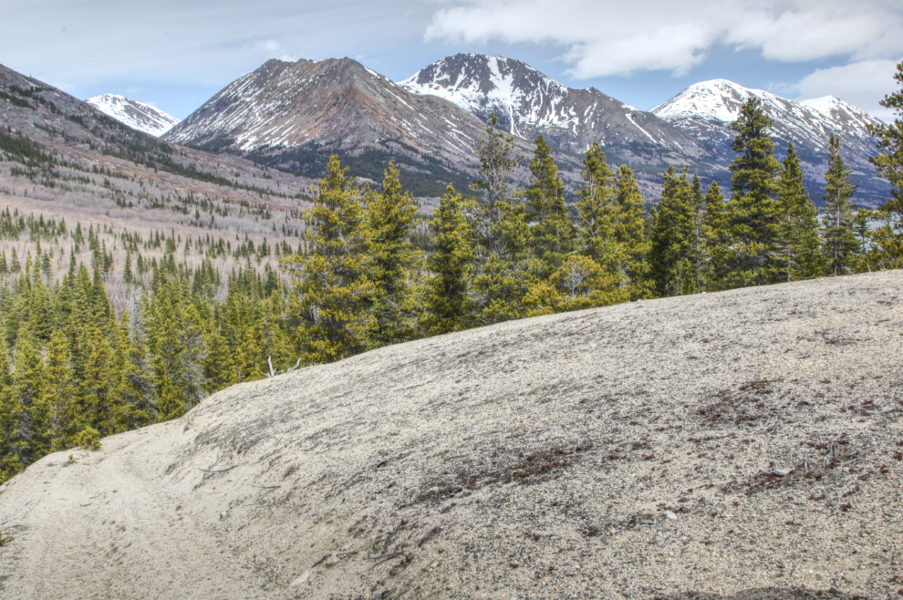
Getting through that snow, we were rewarded with spectacular views from the top of a very large esker (a winding ridge of gravel deposited by a river that ran under the glacial that once filled this valley).
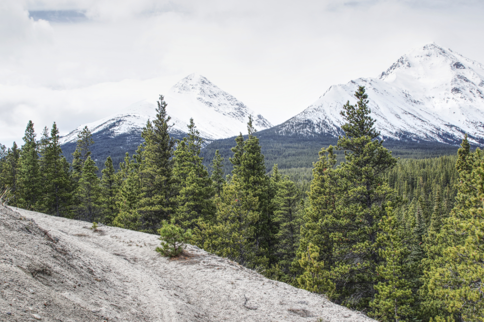
On this ridge is the mine we’ll reach – some day 🙂
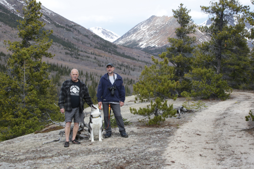
We were both quite blown away by how amazing this spot is.

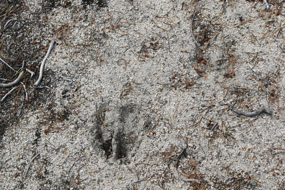
We had been following moose tracks for much of the hike so far, and the tracks weren’t very old. The moose was coming down the trail.
To the northwest, there appeared to be a trail to some mining activity, and a large mineral spring seemed to be seeping down the slope.
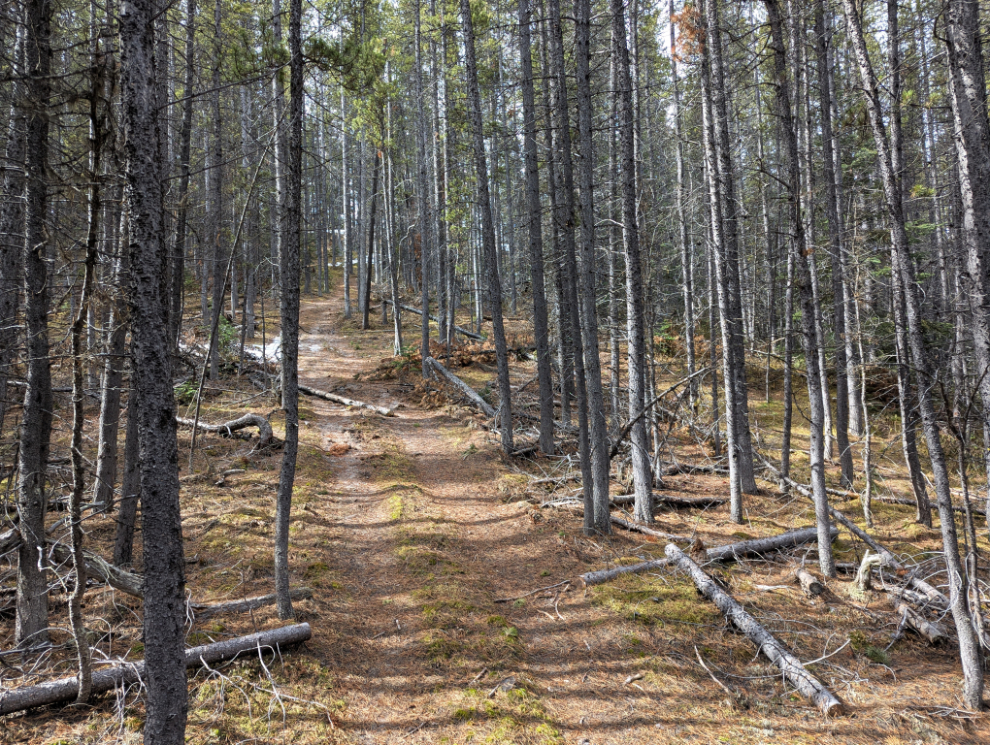
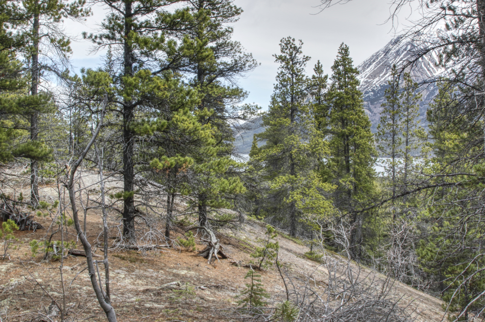
Back into the healthy old-growth boreal forest.
This old bridge had mostly fallen apart, but it was easy to just step across the creek.
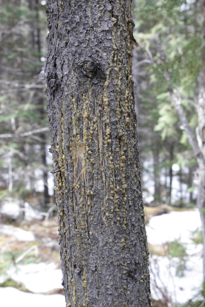
A small bear had scarred this tree – the claw marks were only about 5-6 feet from the ground.
With no end to that deep snow in sight, this is where we turned around.
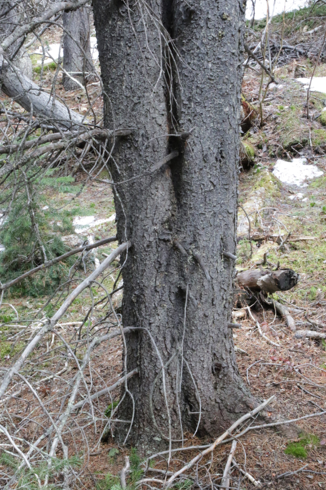
There were many trees along the trail that ave grown together like this – mostly two trunks, but one had about five.
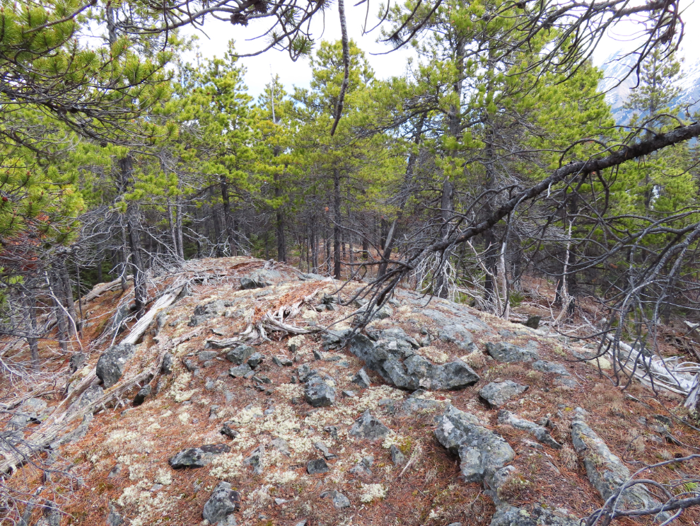
On the way back down, Kevin spotted a large ridge of broken rock, and we climbed up it – a glacial lateral moraine, I think.
Looking over Tutshi Lake from the large esker.
Approaching the open part of the esker.
We spent another few minutes enjoying the panoramic views.
Back at the car, the total mileage for the hike was 4.3 km, with 152 meters vertical climb.
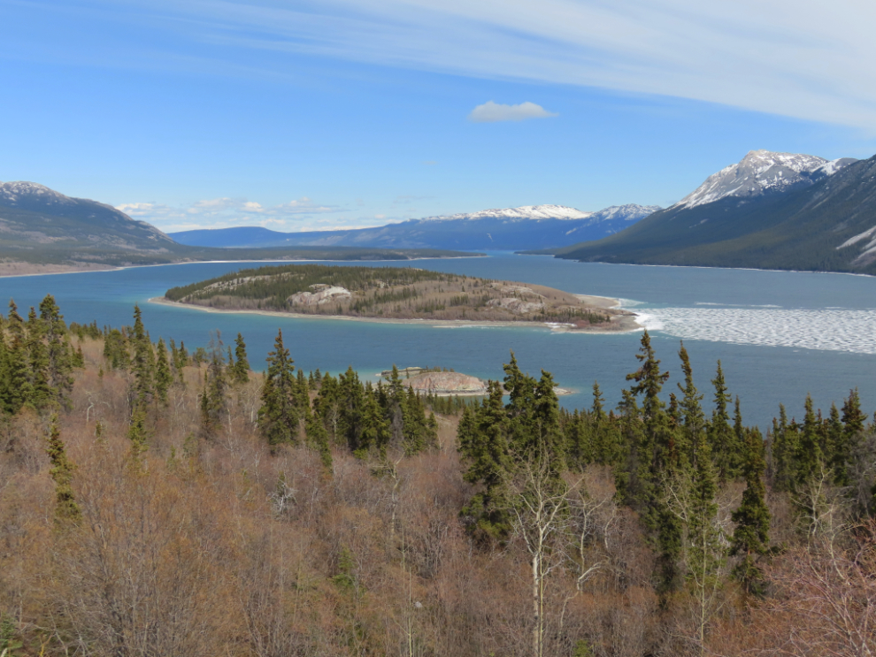
I stopped at Bove Island on the way home to get a photo of the last of the ice hiding in the lee of the island. One good south wind and it will be clear.
Kevin and I made plans to try the trail again in about 5 weeks – just before Cathy and I fly to Europe.
This is such a fascinating piece — the combination of forgotten trails, mining history, and glacial landforms like eskers and moraines makes this hike sound like a real gem. It’s amazing how little documented some of these remote mining sites are, even when there’s clear evidence on the ground and in aerials. I’ve been exploring and documenting similar off-the-beaten-path routes and ruins around the Yukon as well. Looking forward to seeing what you uncover when you return to the trail in a few weeks!
Thank you for your explorations Murray! We will check this one out later this summer!
Your posts always take me home to the Yukon. The powers of your observations is amazing. It’s always good to have a companion along. And a dog. Thanks for another adventure.
Thank you, Abe. It’s always nice to have you along back here at home 🙂