Driving the Haines Highway in Yukon/BC/Alaska
My season opener trip for the RV was intended to be 4 days in Haines, Alaska, and then 4 days at Kluane Lake, Yukon. It didn’t work out that way, but more about that later. At 11:00 on Monday, we headed west – “we” being Bella, Tucker, Molly (the dogs and cat), and me. Cathy would join us at Kluane Lake – or so the plan went.
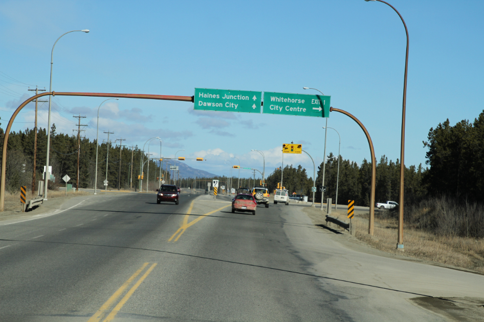
The intersection of the Alaska Highway and Robert Service Way, the first access to downtown Whitehorse. For us, the next turn would be in Haines, 5 hours away.
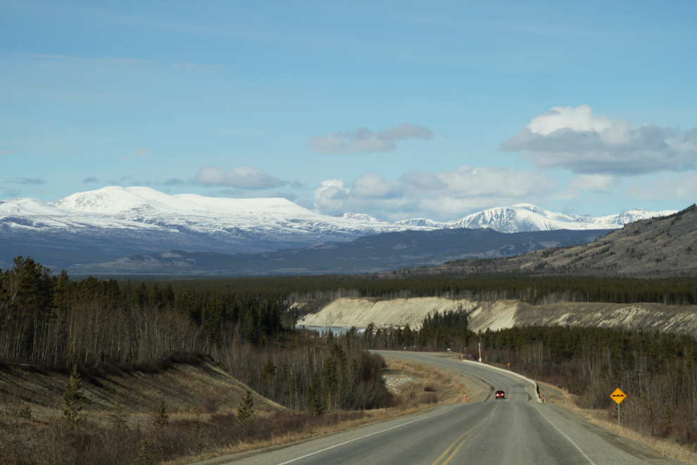
Looking west on the Alaska Highway to the pullout at Km 1454, which used to be called Takhini Crossing. That was where the old Whitehorse to Dawson Overland Trail crossed the Takhini River.
Our first stop was at the Kathleen Lake viewpoint at Km 226.5 of the Haines Highway, 19.5 km south of Haines Junction. Kathleen Lake is the location of a large Parks Canada campground.
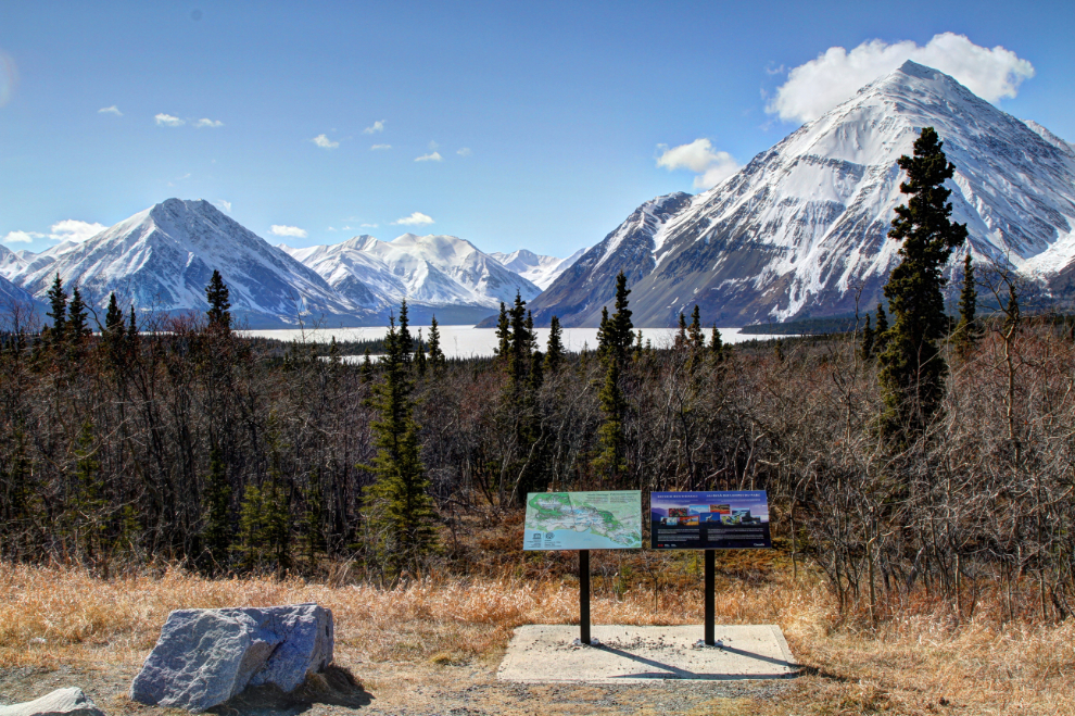
Bella and Tucker were ready for a bit of a romp at the large viewpoint. We hadn’t seen a single vehicle on the Haines Highway yet.
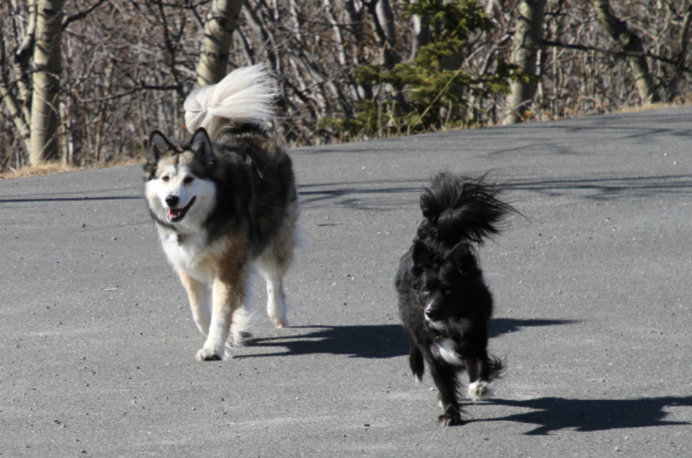
What a start to this trip – that got a 10!
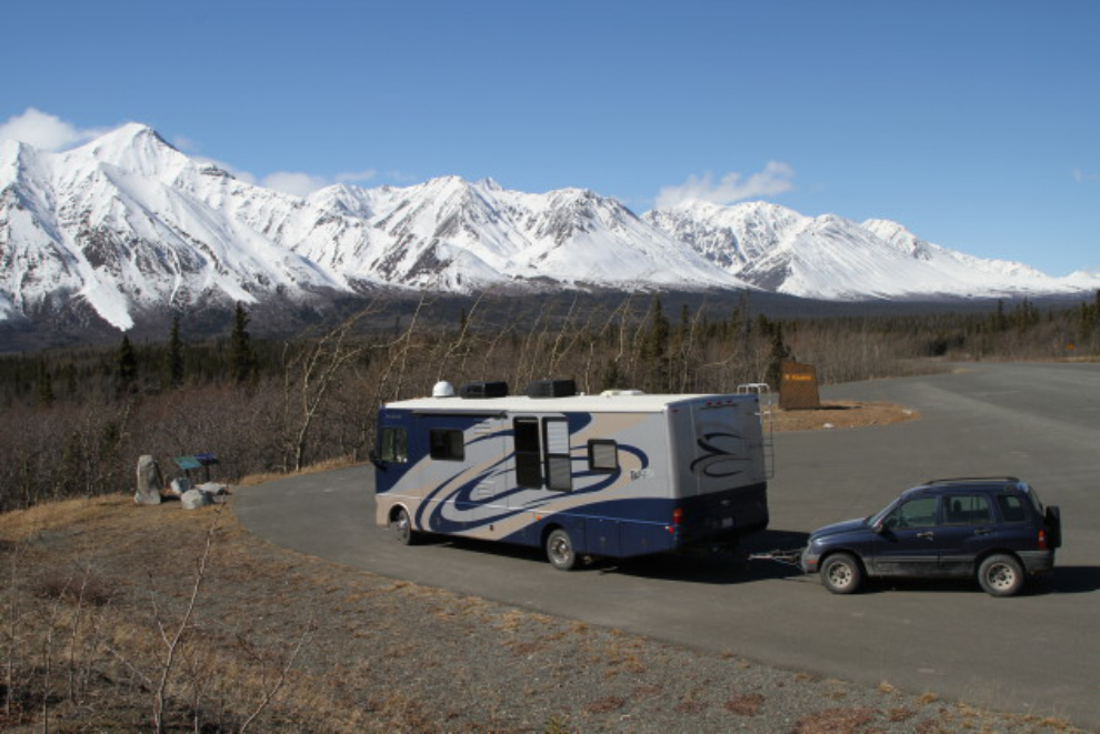
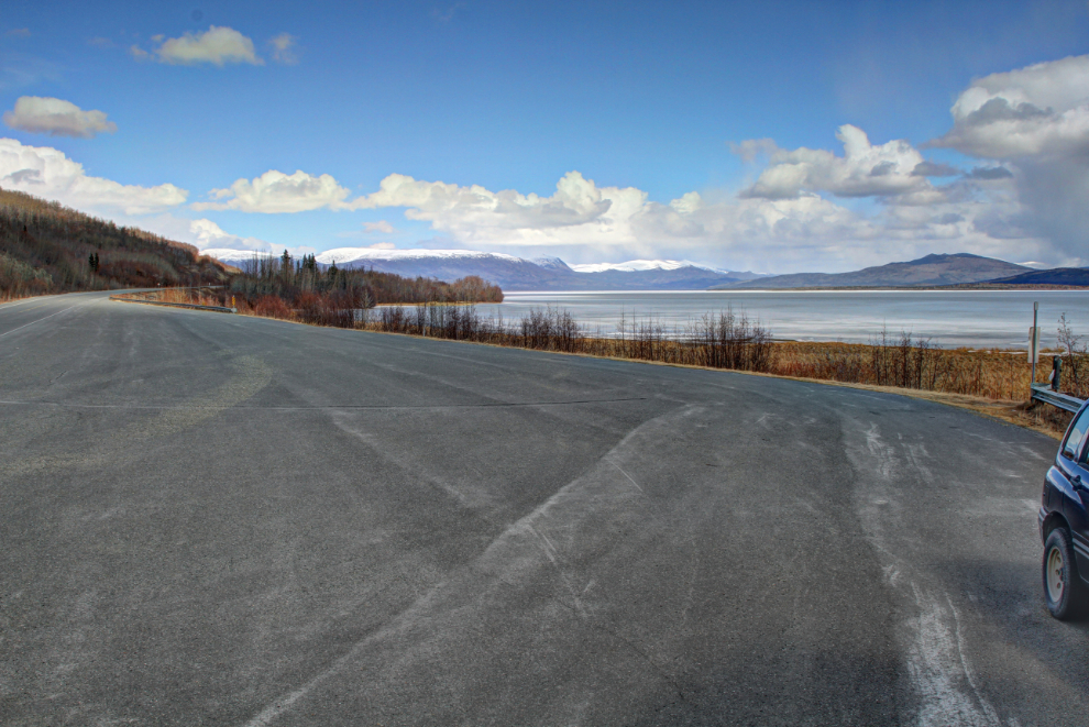
One of my projects was to record each of the pullouts and rest areas along the highway to improve my Campgrounds & Rest Areas pages. The next photo shows the pullout at Dezadeash Lake, Km 194.
The largest rest area on the Haines Highway is the one at Km 162, which has a viewing deck and a monument honouring the designation of the Tatshenshini River as a Canadian Heritage River. I love seeing storms like that one in the distance.
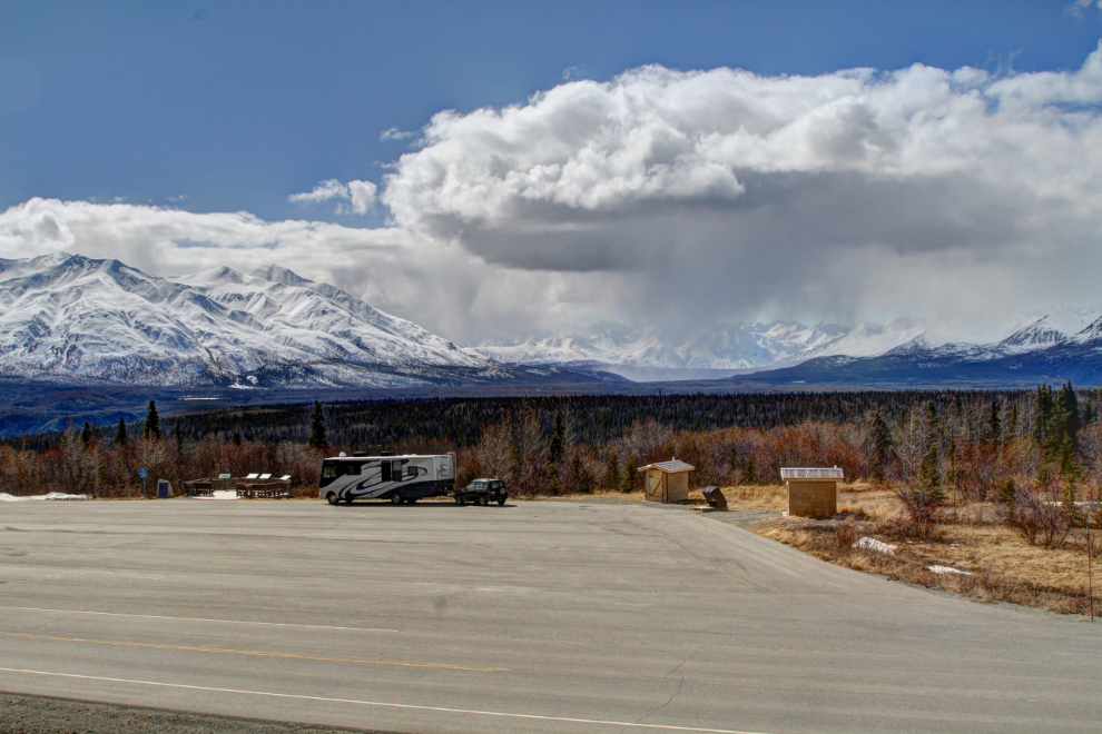
One of the views from that rest area – nice work, Mother Nature 🙂
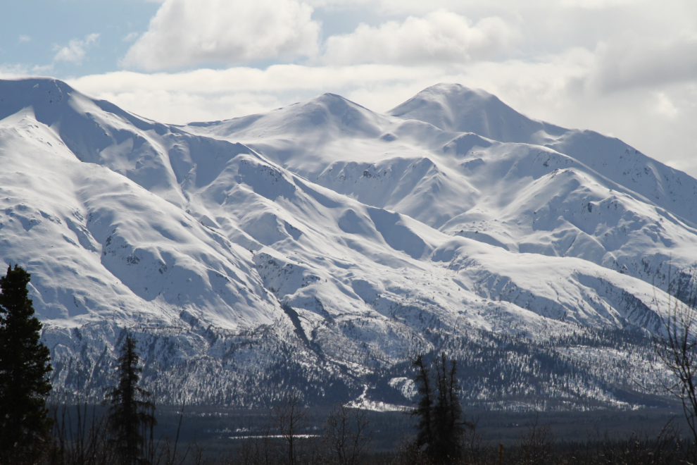
I stopped to take quite a few photos – the scenery is just stunning. Because of the contrast, several of them have been processed as HDR images to post here.
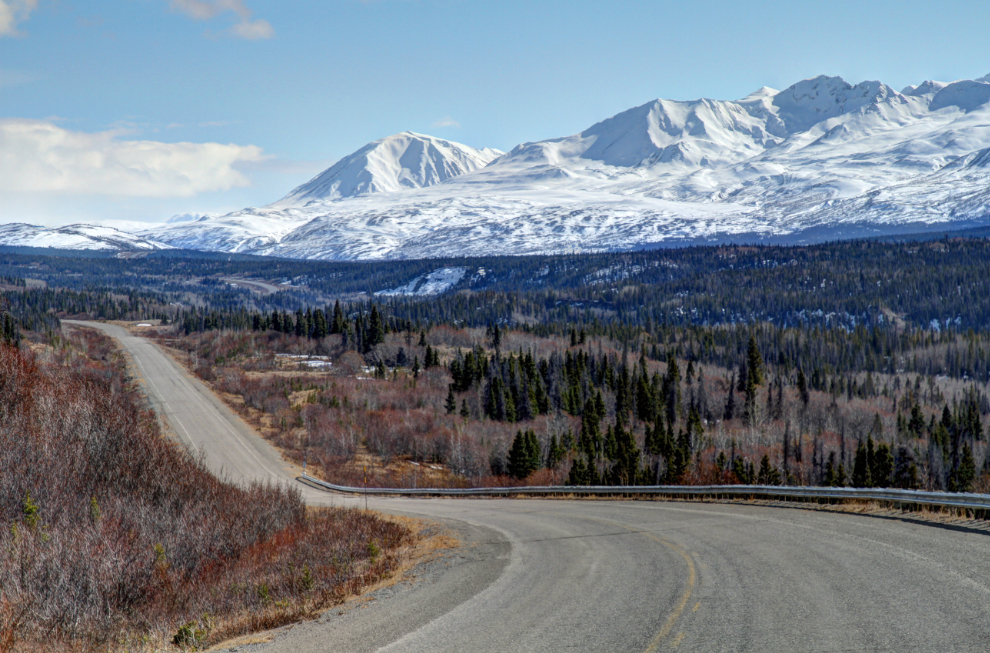
At Km 144.8 the highway crosses the Blanchard River, see at the far end of the curve before the highway starts climbing the hill. This is a put-in point for rafters on the Blanchard, and sometimes the Tatshenshini River.
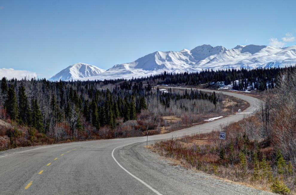
Getting closer to the summit, I was amazed by how little snow there was. In a “normal” year, whatever that means now, that valley would be all white.
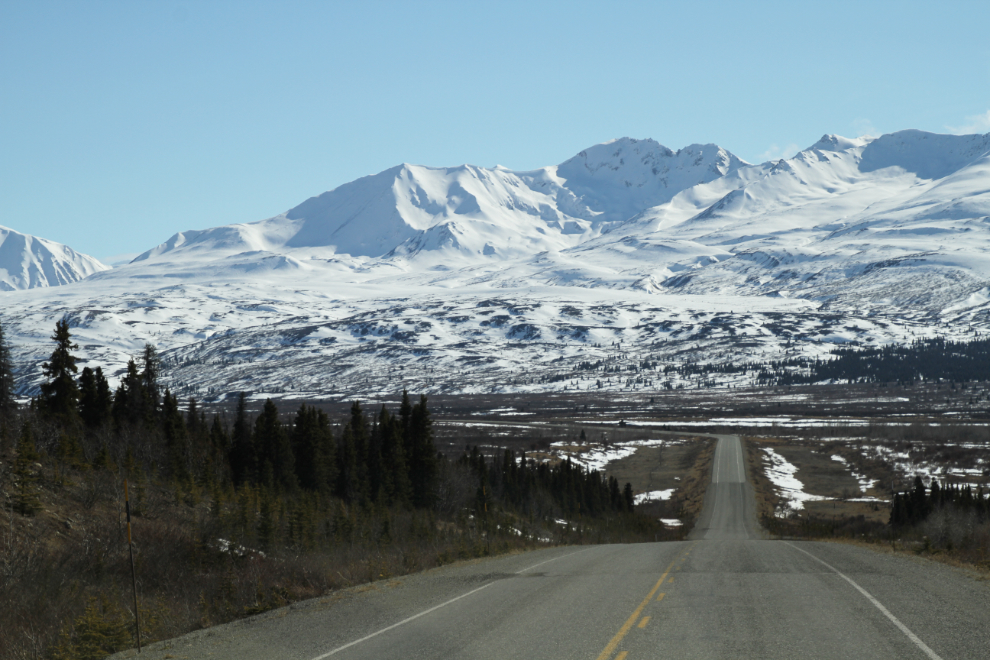
Looking north from a huge pullout at Km 134. We spent a long time at that spectacular spot, with a play, a nap, and another play before continuing south.
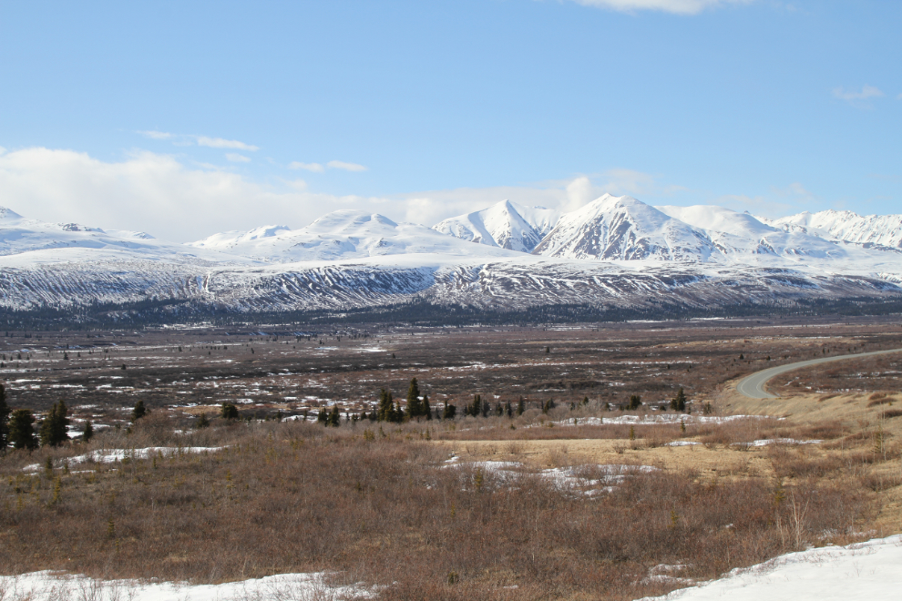
The next photo is a panorama shot at the north of the two pullouts at the Haines summit.
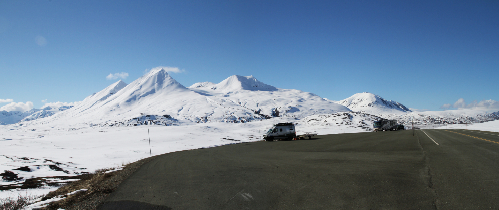
Normally there would be hundreds of people, and snowmobile tracks going in every direction at the summit, but there were only 2 vehicles with snowmobile trailers and I could see that they were dodging rocks and brush a lot. Compare this with snowmobiling in mid-April in a good year.
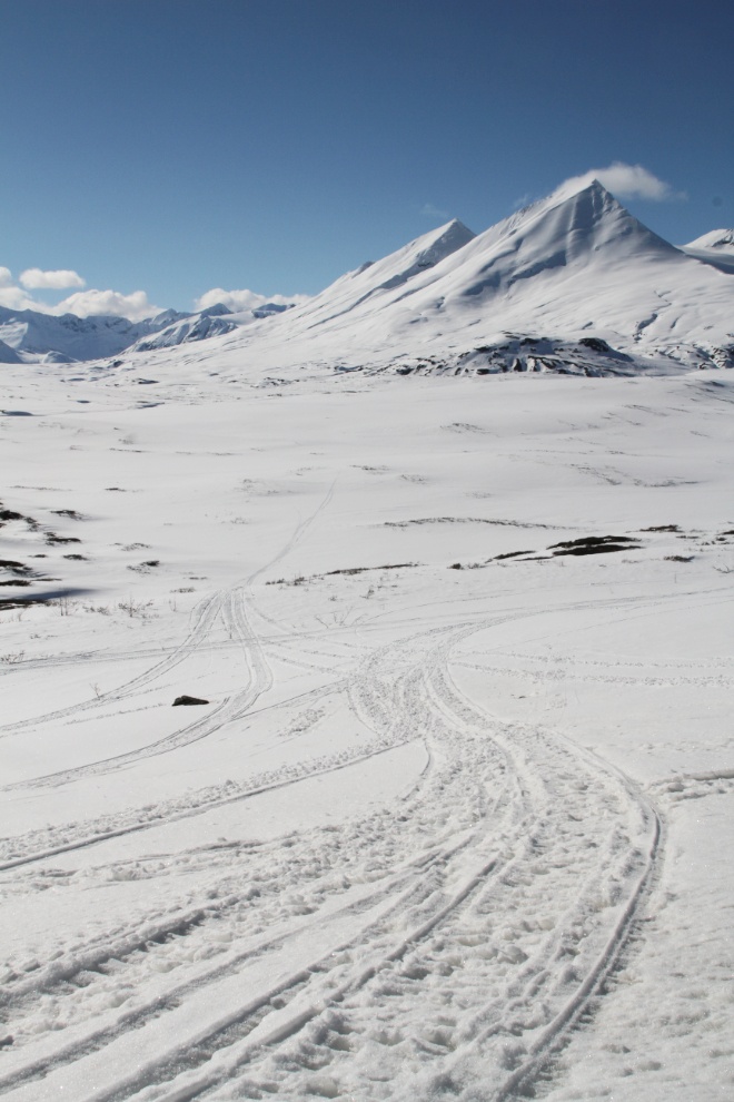
The peak known as The Three Guardsmen is the most dramatic one in the summit area. I’ve hiked to a cirque about 2/3 of the way up it so far – maybe I’ll reach the summit this year 🙂
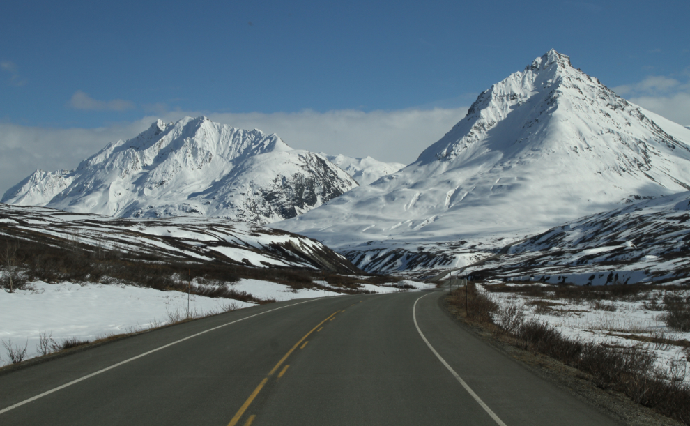
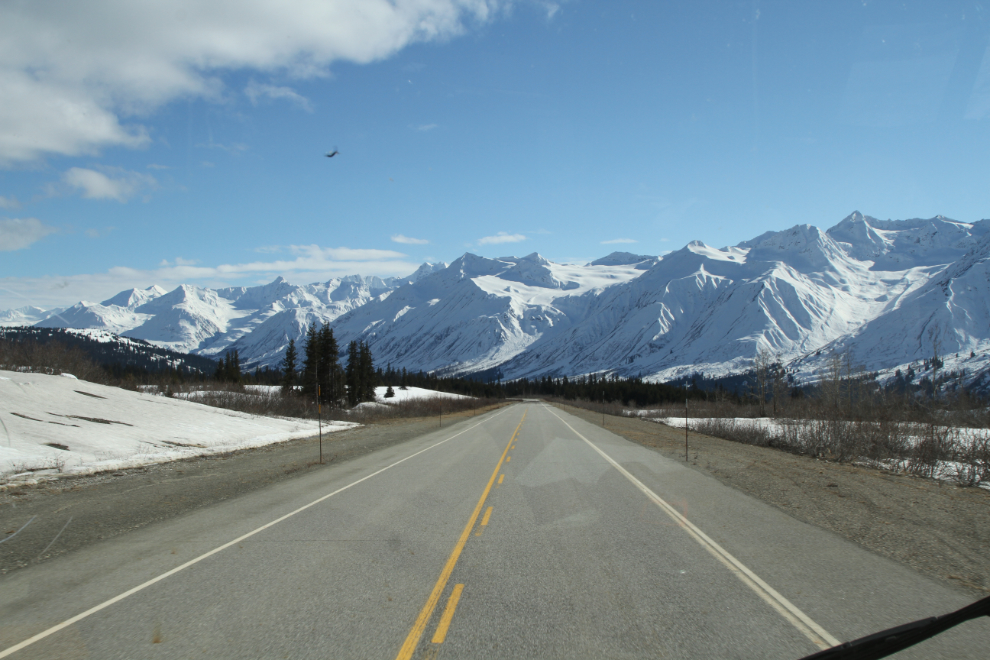
Heading down the hill with a virtual wall of glaciers ahead.
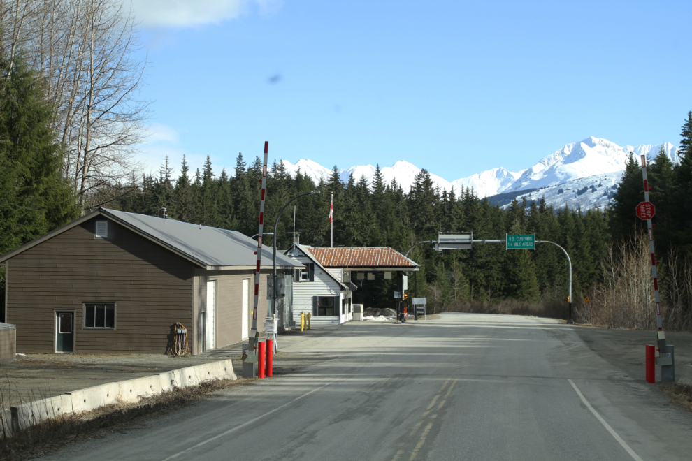
The Pleasant Camp Canada Customs post.
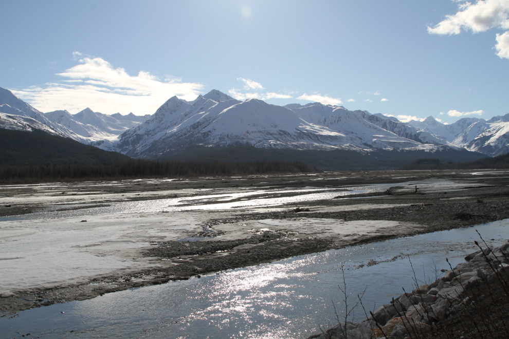
The weather forecast had called for increasing clouds and even possible showers in the Chilkat Valley but the sunshine stayed with me.
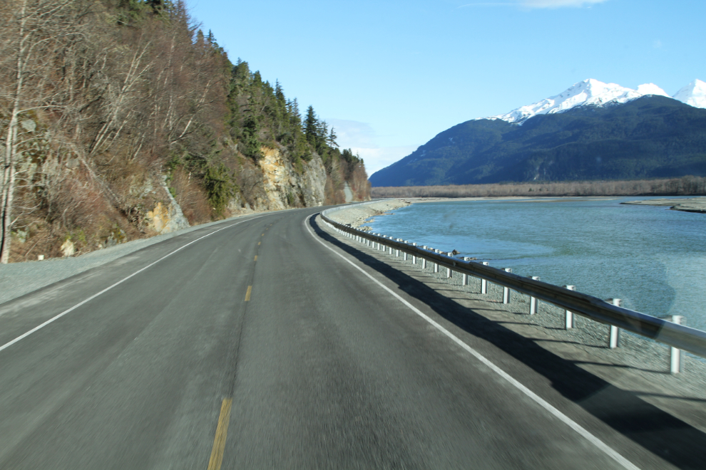
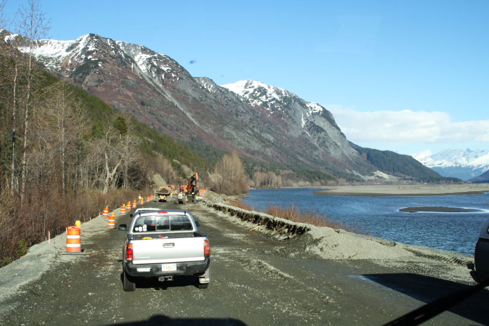
There were a few miles of construction going on, but delays were minimal. I was at my friend Greg’s home just after 6:00 pm, ready to get into some exploring for a couple of days.
