RVing North – from Whitehorse to Keno and Dawson
On Friday evening, July 28th, Cathy and I headed north for 9 days of exploring and relaxing. We camped for 2 nights en route to Dawson City, including a detour to Mayo and Keno City. On Sunday, Cathy will fly home from Dawson and I’ll wander for another week or so on the way home.
Cathy took the Tracker to work on Friday, and when she got off work, I met her in downtown Whitehorse a couple of blocks from her office. A few minutes later, the Tracker was hooked up to the motorhome and we were on our way.
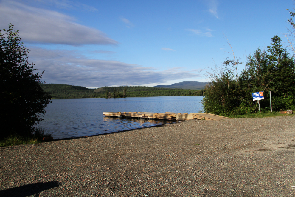
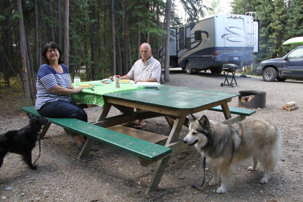
We went an hour and half up the North Klondike Highway to the Twin Lakes Campground, a particularly lovely campground. There are 26 camp sites, 9 of them pull-throughs, and a boat launch. The campground was about half full (most of the campers were Yukoners), and completely quiet – a perfect place to start the week off. A huge bonus was that we were already out of what seems like the never-ending clouds and rain in Whitehorse. This must be the wettest July in history in Whitehorse.
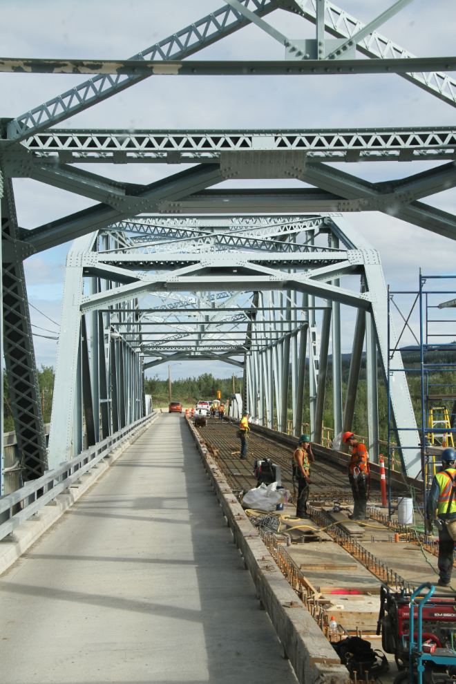
We got away fairly early on Saturday morning (just after 09:00), and right at 10:00, crossed the Yukon River Bridge at Carmacks, which is getting a new deck.
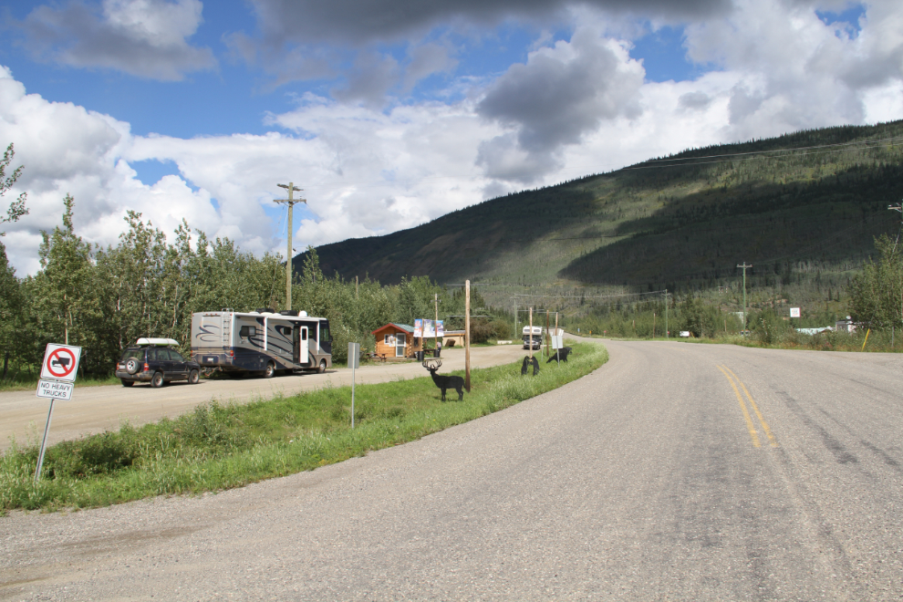
At 12:30, the Visitor Information Centre pullout at Stewart Crossing was a handy place to have lunch. Although there’s a Visitor Information Centre here, I think I’ve seen it open twice in the past 27 years 🙂 I had a nice chat with a family from Merritt, BC, who were on a whirlwind tour of the north, perhaps to get away from the heat and forest fire smoke.
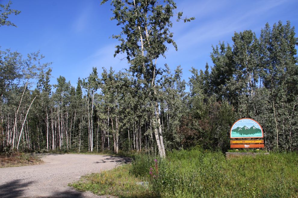
Our destination for Saturday was the Five Mile Lake Campground just north of Mayo. I’ve driven through it and the adjacent Recreation Site, but hadn’t camped here yet. There are 20 camp sites, 3 of which are pull-throughs.
We set up in site #7, a pull-through right in front of the beach access. The sites at Five Mile Lake Campground are huge, some to a ridiculous degree. Our motorhome-car combination is 51 feet long, and many of the sites could hold 4 of our rigs.
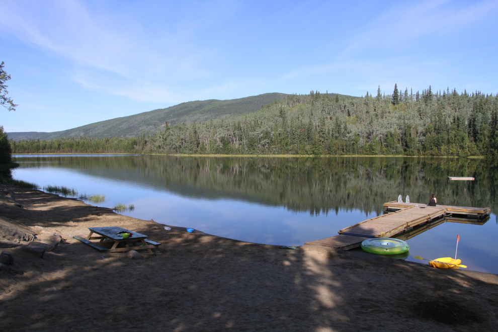
A small sandy beach has been created on Five Mile Lake, and although this photo taken early Sunday morning shows it as being peaceful, we won’t be back to this campground on a weekend. It’s packed with locals about 16 hours a day, and between screaming/crying kids and the constant cruising of locals’ vehicles, the noise is incessant. Some of the camp sites seemed to have many other vehicles visiting. I didn’t understand why the Recreation Site wasn’t being used as intended, but when I went over there for a look, found that it’s been all but abandoned, and no sandy beach has been created – it just has the natural grassy/marshy shore. Using the campground for day use is unfortunately a no-brainer. As a campground, though, it was only about half full, and as at Twin Lakes, most of the campers were Yukoners.
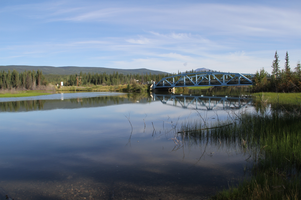
On Sunday, we drove to the old silver-mining town Keno City, about 60 km away. On the way, I was pleased to see that a small rest area has been created at the Minto Bridge. There are outhouses, one picnic table, good level river access for launching small boats, and a huge parking lot.
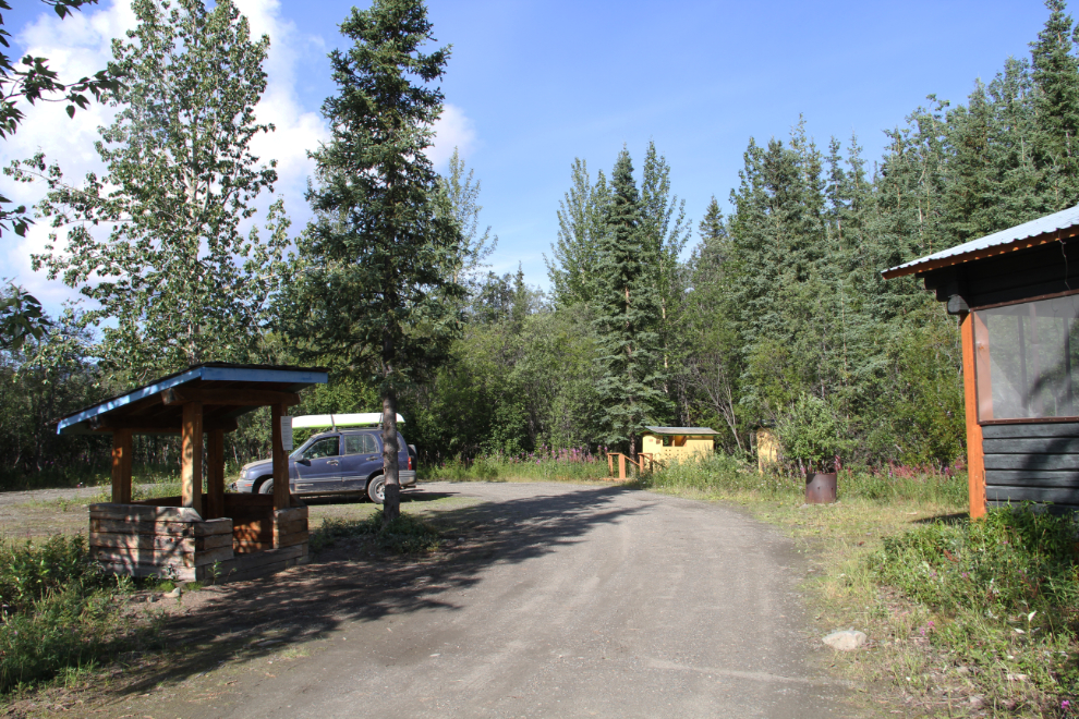
We had a look at the Keno Community Club Campground. It’s fairly rustic, built for smaller RVs, and costs $15 per night. Many of the sites were occupied, but my impression was that most were people working in the area, not recreational campers. The photo shows the turn-around at the end of the campground.
We had a couple of ideas for Keno, the first being a drive to the signpost near the top of Keno Hill. It was erected at an elevation of 1,849 meters / 6,065 feet. The drive up is spectacular. With care, it can be driven in a regular car, but having an SUV is better.
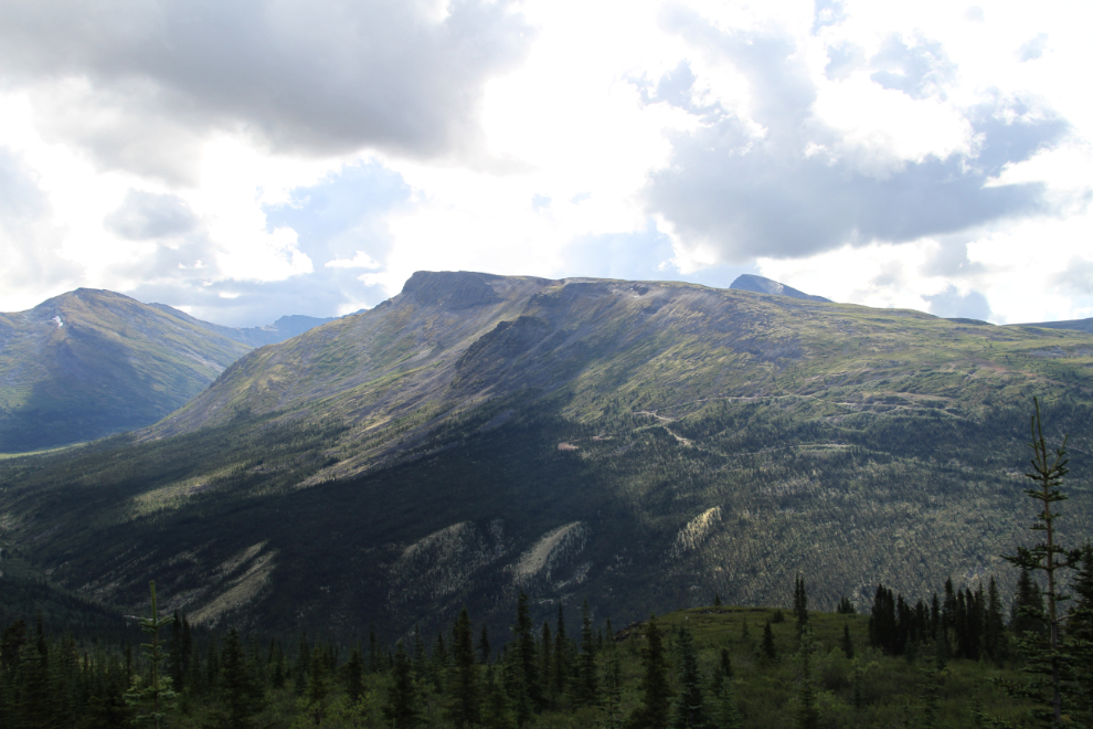
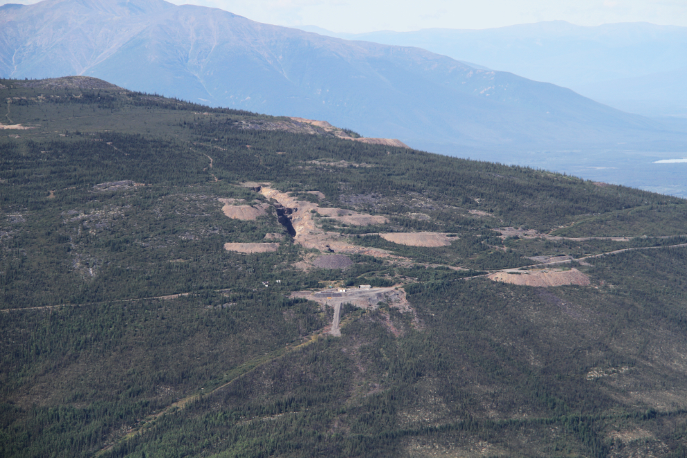
The mountains around Keno are dotted with silver and gold mines dating from recent years to back a century.
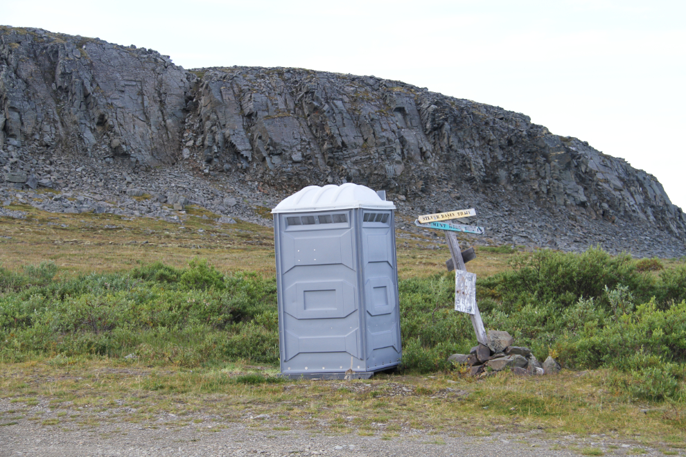
It was nice to see that a porta-potty has been placed near the signpost, as most visitors come up here, either simply for the view, or to go hiking.
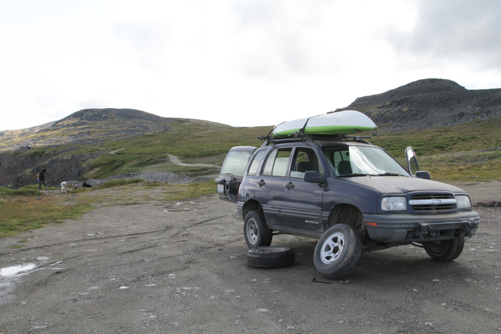
As soon as I started to turn around at the top, I felt a flat tire. Well poop. That set a new record as my highest-altitude flat tire ever 🙂 But, a few minutes later, it was fixed and life was good.
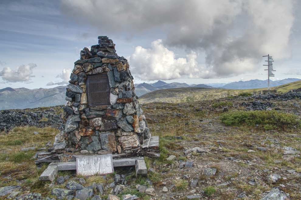
The famous Keno Hill signpost can be seen on the right. The rock cairn, which strangely was built on a now-rotting wooden base, holds a brass plaque dedicated to geologist and mining engineer Alfred Kirk Schellinger, who staked the “Keno” silver claim here on July 29, 1919.
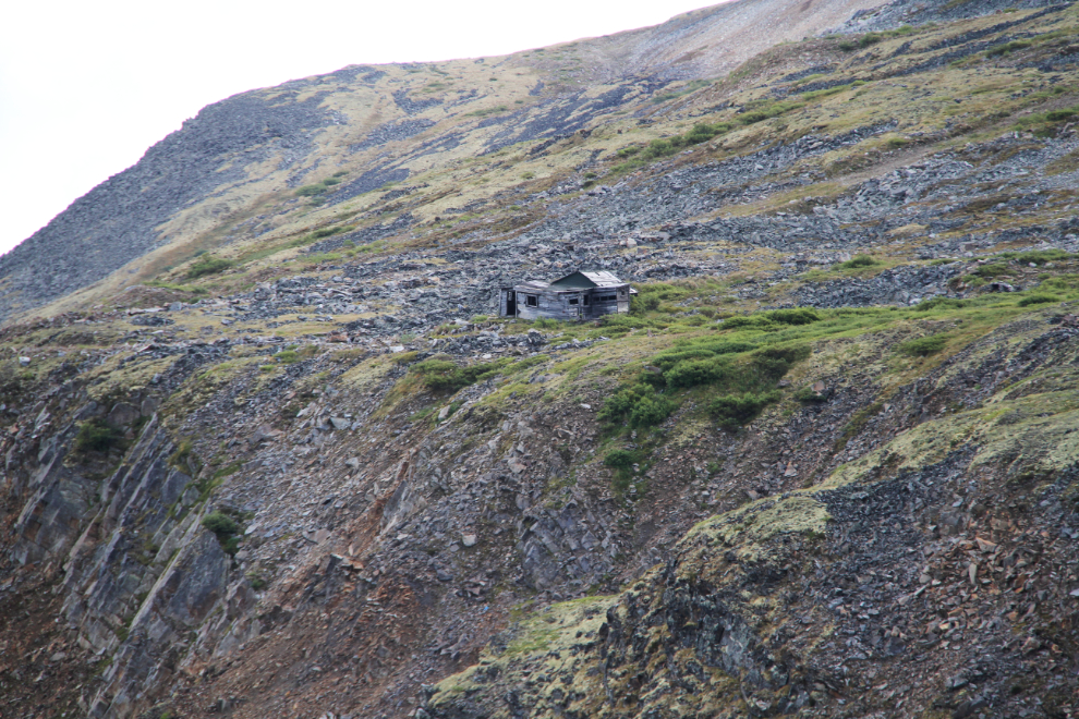
A distant look at the most-photographed of the old mining cabins on Keno Hill. Although there was plenty of sunshine all around us, one large and very dark cloud kept the top of Keno Hill in deep shadow.
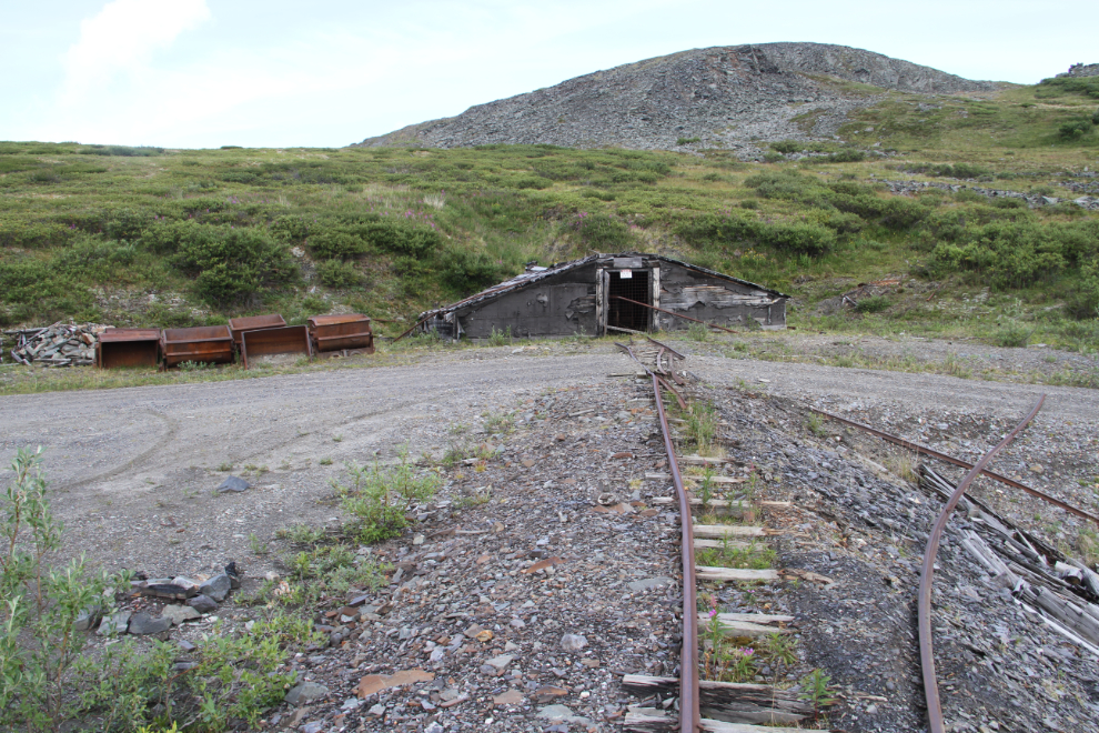
On the way back down the hill, I made a detour to show Cathy my favourite mine on Keno Hill. From this adit, a railway runs out…
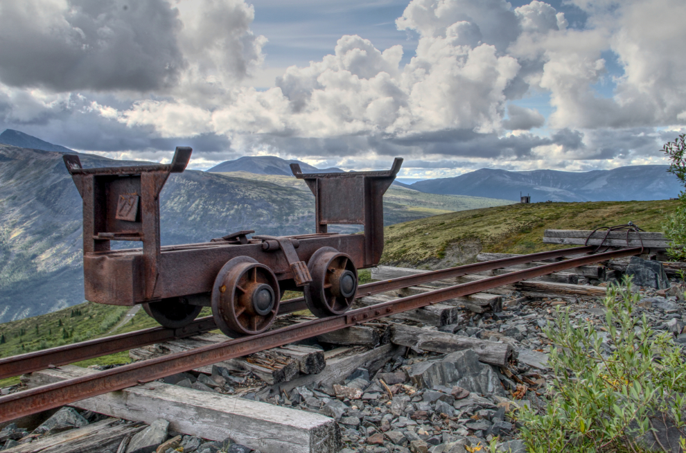
…and this ore car was used to dump waste rock that had been blasted in the adit. The side-dumping ore carrier has been removed from this car – it’s one of several sitting beside the adit seen above.
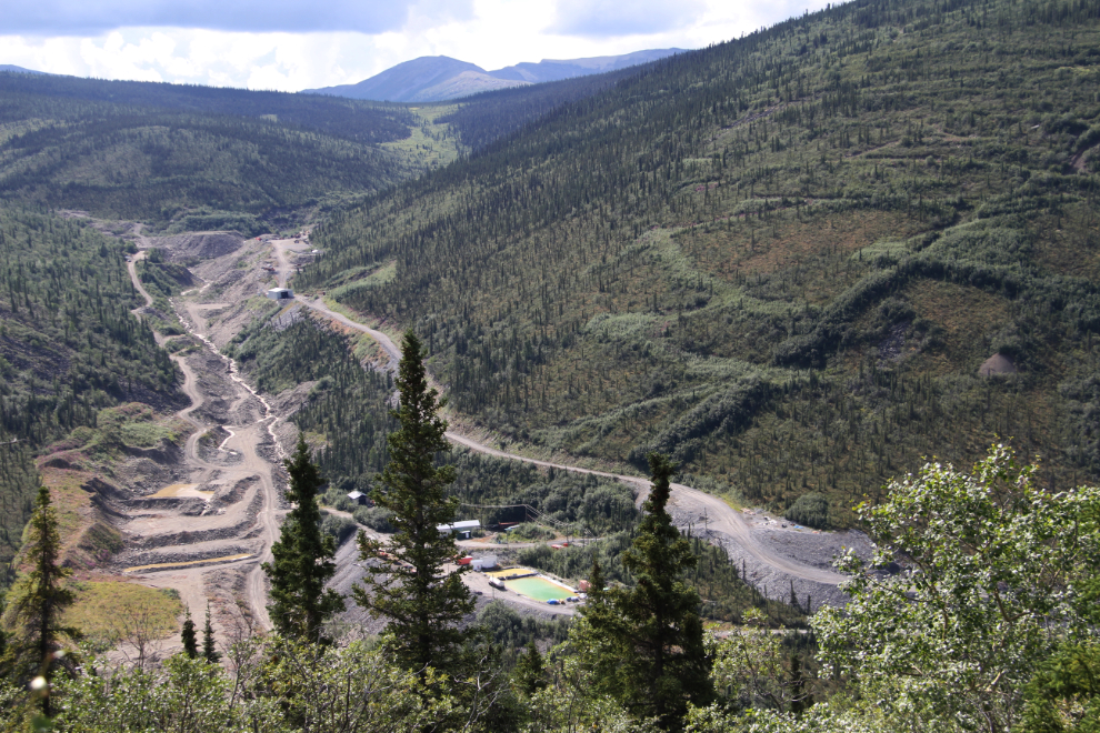
This large placer gold mine in a valley near the bottom of Keno Hill worked until about 10 years ago, if I remember correctly.
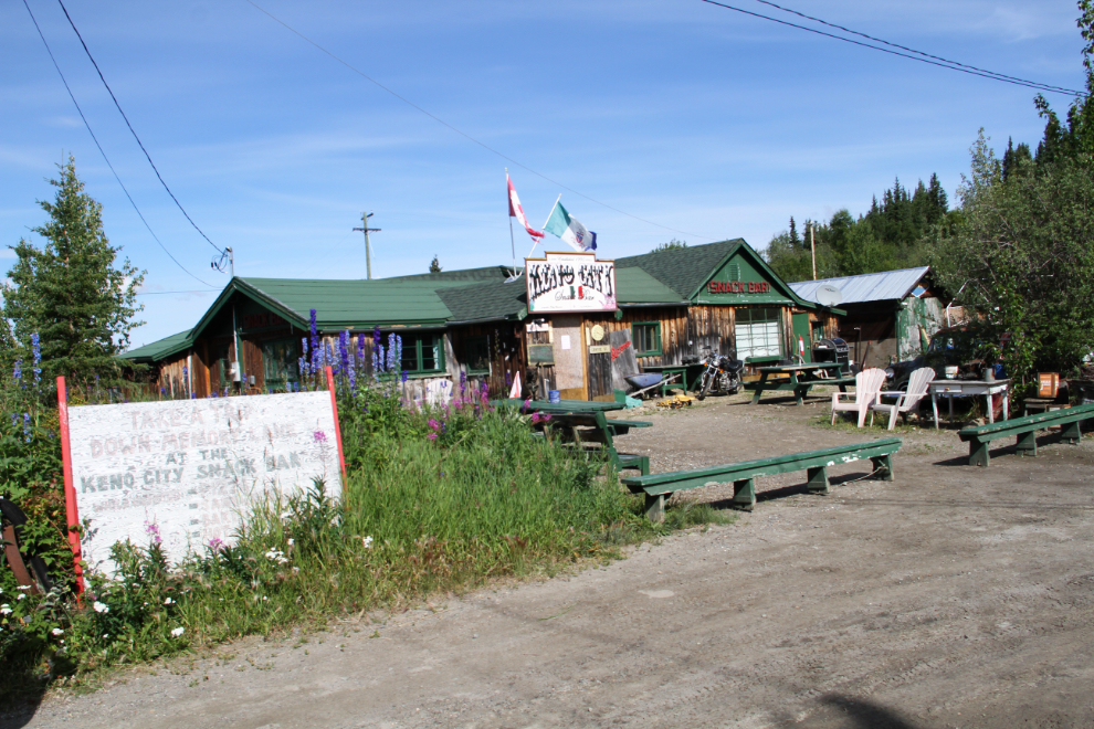
We had hoped to have a pizza lunch and chat with my friend Mike Mancini, but the sign on the door said that he was closed until 5 pm. We drove over to the pub, but an aggressive dog tied up at the entrance halted that plan. So we drove back to Five Mile Lake and made our own lunch.
On Monday morning, the condition of the beach at Five Mile Lake was bloody appalling. Garbage, various articles of clothing, and lots of toys were scattered everywhere. That sort of lack of respect makes me nuts. We soon left for Dawson.
I made a quick stop at a tire repair on the way into Dawson City, and just after 2:30 were ready to board to ferry George Black. It would take us across the Yukon River to the campground.
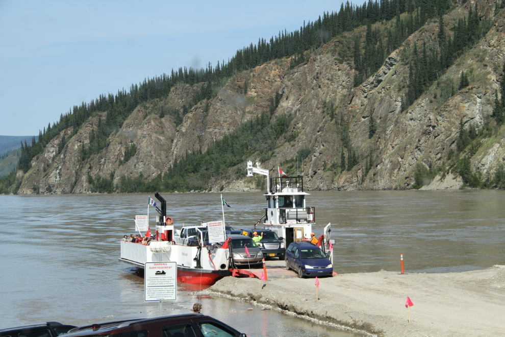
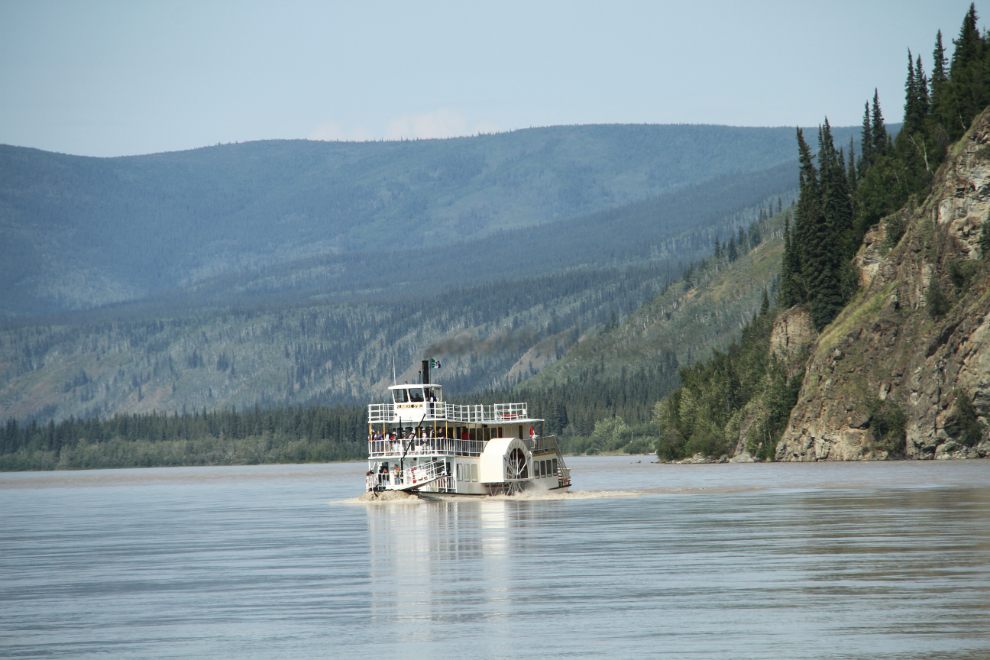
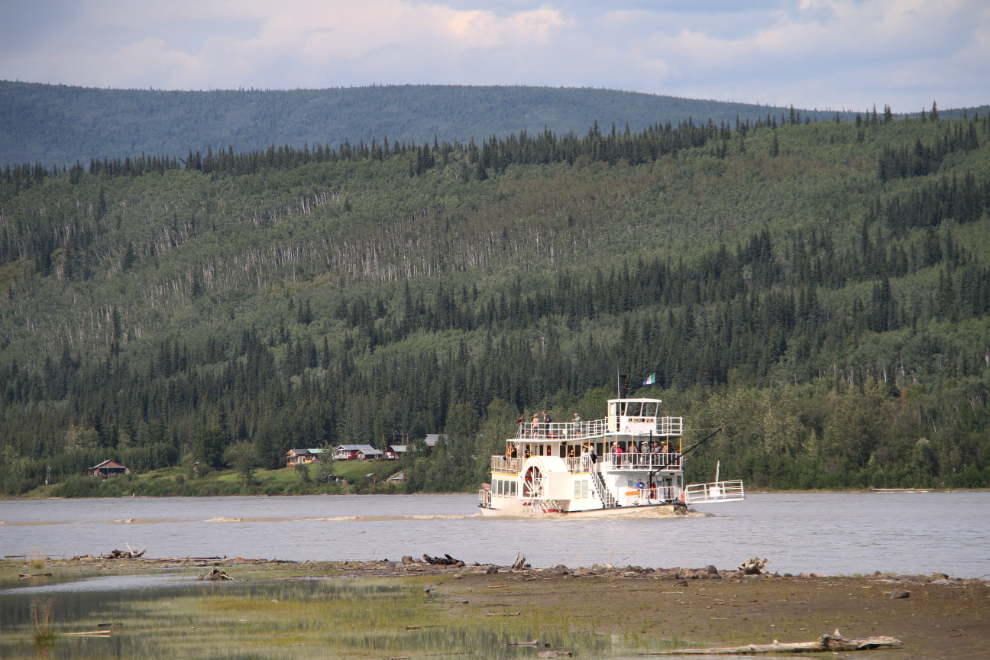
The ferry captain waited a few minutes for the paddlewheel tour boat Klondike Spirit to clear our path. I was happy to sit and watch her go by.
Once on the west side of the river, we were soon set up in site #42 at the Yukon River Campground, the largest campground in the Yukon. It’s a large pull-through site right on the river, fairly close to outhouses and firewood. We’re here for 3 nights, then will head up the Dempster Highway to Tombstone Mountain Campground for 3 nights.
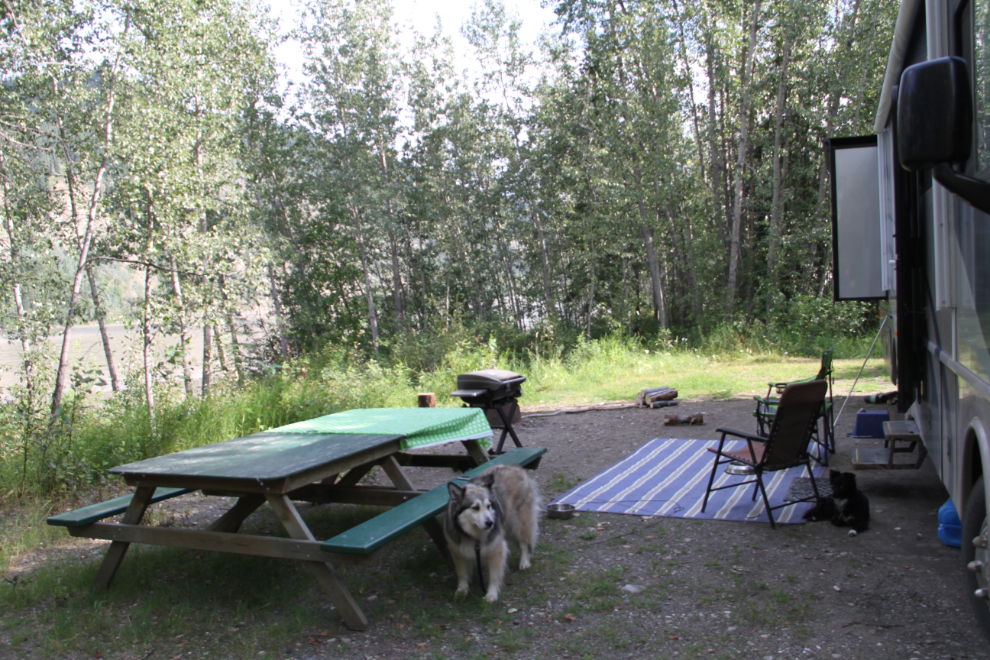
We can watch boats go by on the river right from our camp site, but a short trail leads down to the riverbank for clear views. We’ve been surprised by the number of boats going by. In the last photo in this post, the Klondike Spirit has just passed the village of Moosehide.
Now, we have a couple of days to explore more of the Dawson area.
