Hiking Johnston Canyon, Banff National Park
For the first day with my family near Calgary (Saturday, December 9th), I suggested that we drive to Banff and hike Johnston Canyon. It’s a spectacular canyon located 22 km west of Banff on the Bow Valley Parkway (Hwy 1A). I was thrilled that everyone wanted to go – this was the one day that both of my granddaughters weren’t working. The weather forecast was for +12°C in Airdrie, but it would be a bit below freezing in the mountains.
We had to take two cars for the 7 of us. In the first photo, we’re heading south on Stoney Trail (Hwy 201) in Calgary NW, a few minutes before 11:00. A slight telephoto (100mm) brings the Rocky Mountains a bit closer visually.
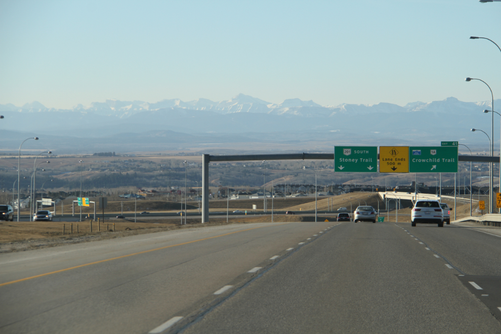
Driving west on the Trans-Canada, Highway 1, 6 minutes later. It’s 170 km from my son’s house to Johnston Canyon, most of it on freeways. What an incredible day to see in December!
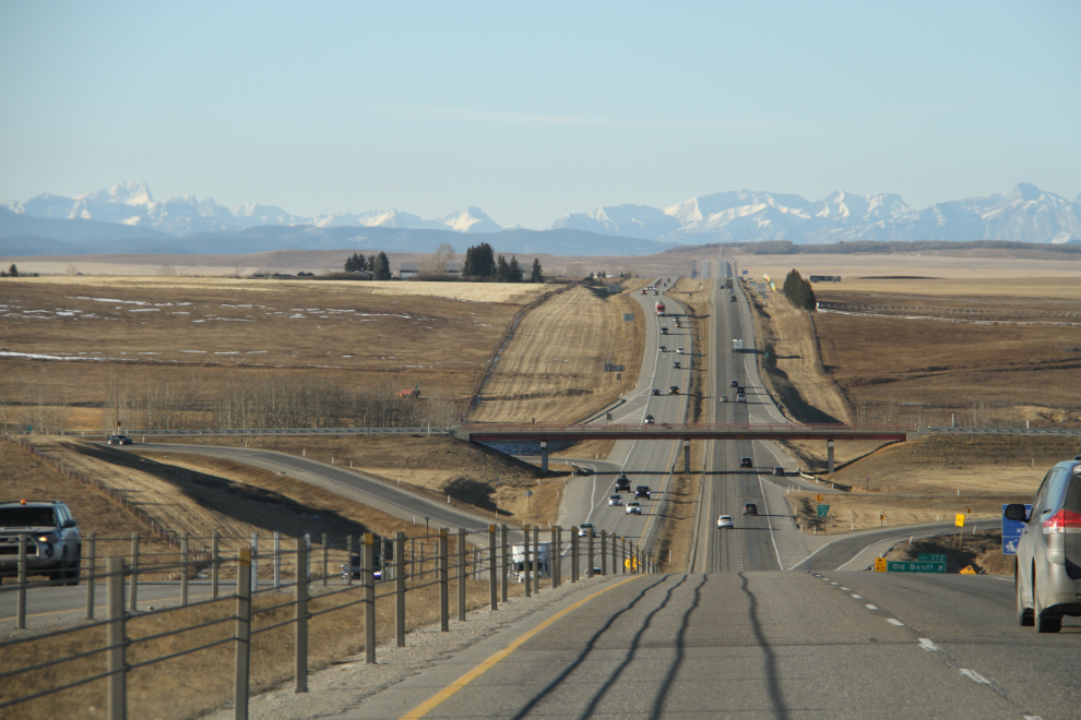
Near Morley at 11:17. There were a few RVs on the highway, a pretty unusual sight this time of year. I had actually tried to rent a motorcycle for my time here, but the only company that responded to my request said that they don’t rent them in the winter. Okay, the calendar does say that it’s Winter even if the thermometer doesn’t agree!
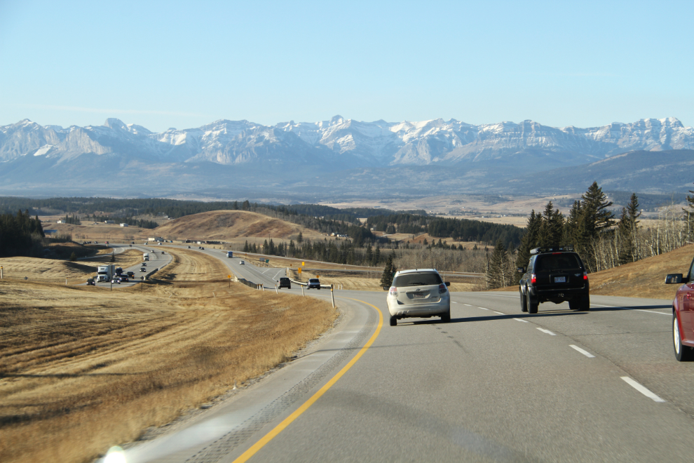
Ahhhhh, back into the mountains!
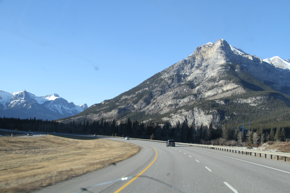
Approaching the community of Canmore at 11:42. Canmore must be the most-changed community in the Canadian Rockies over the past 30 years. Although it reeks of money now, I still rather like the vibe.
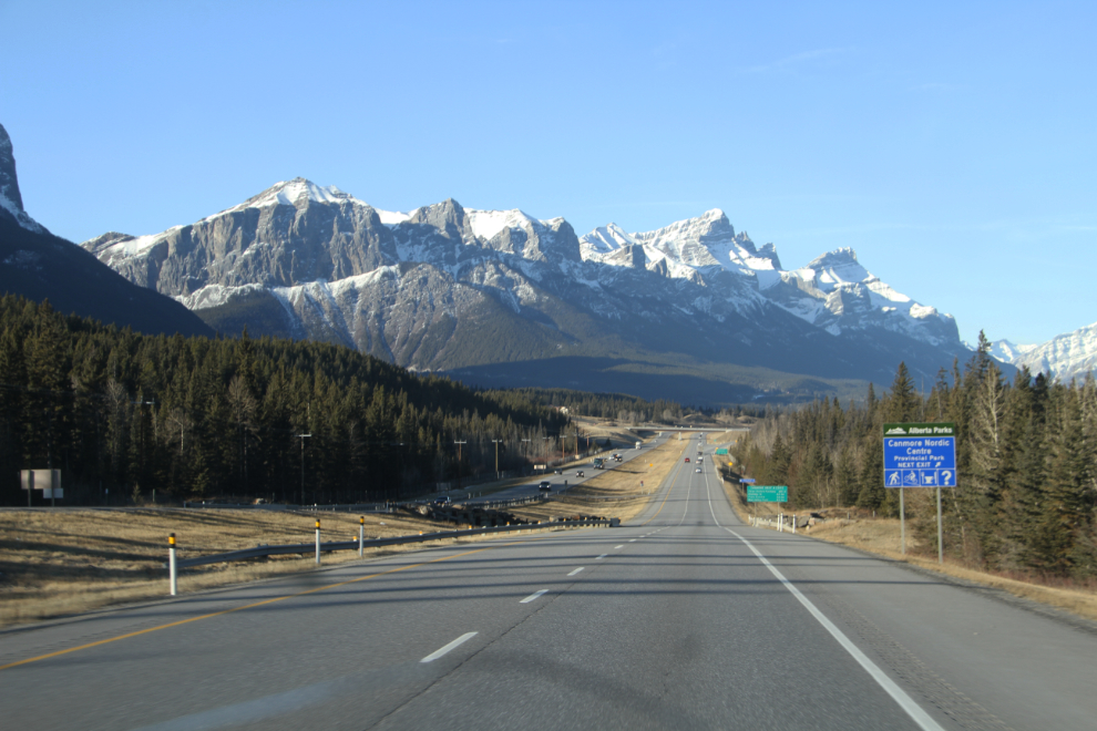
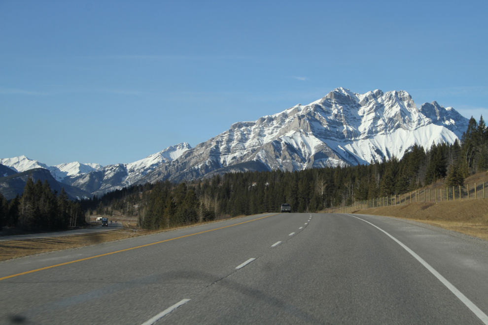
At the west side of Canmore, you pass through the Banff National Park gates – the next photo was shot 3 minutes after that.
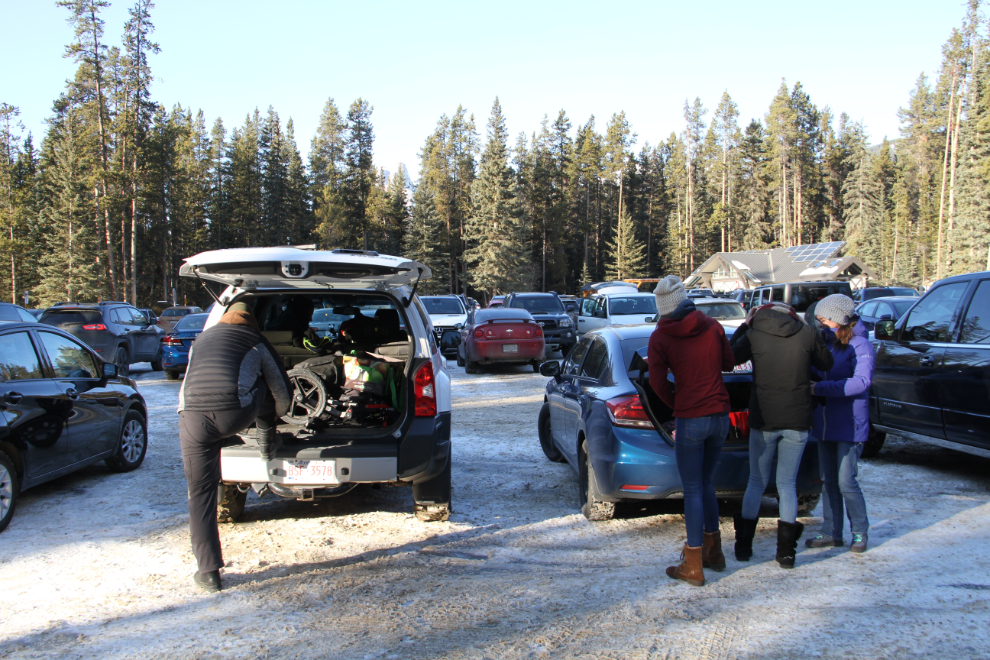
When we reached Johnston Canyon at 12:15, I was very surprised to see the main parking lot almost full (there are hundreds of parking spots in 2 lots). The Johnston Canyon page at the Town of Banff’s website, though, says: “The trail to the waterfalls of Johnston Canyon has to be the busiest in the Canadian Rockies. Nearly every day throughout the summer, hundreds of hikers follow its canyon-clinging catwalks and cliff-mounting staircases to the gorge’s Lower and Upper Falls. While the canyon and its unique trail are certainly worthy of a visit, you’ll have to do the hike in the evening or very early in the morning to avoid the hordes.” Or you can go in the winter, I thought. But seeing what it looks like on a sunny weekend in the winter, perhaps a cloudy weekday in the winter would work 🙂
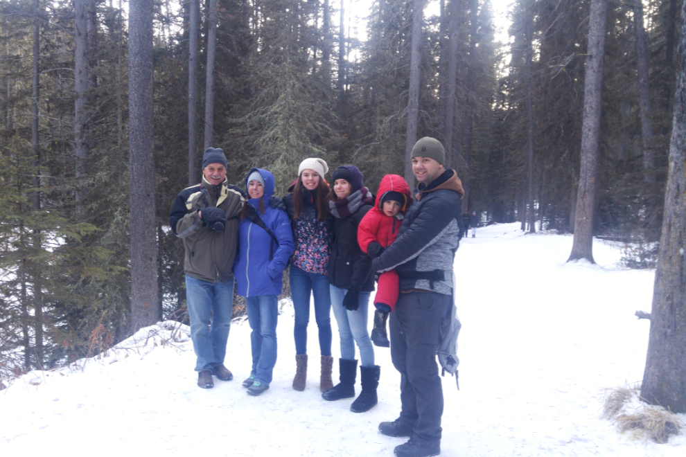
Most of my family in one place – all of my blood-family, actually. My daughter-in-law, Rachel, took the photo.
A network of steel catwalks bolted to the canyon walls makes the hike easy. We had just planned for a fairly short hike in any case – it was just a chance to get the family out for a while. It’s 1.1 km one way to the Lower Falls, and that would probably be where we turned around.
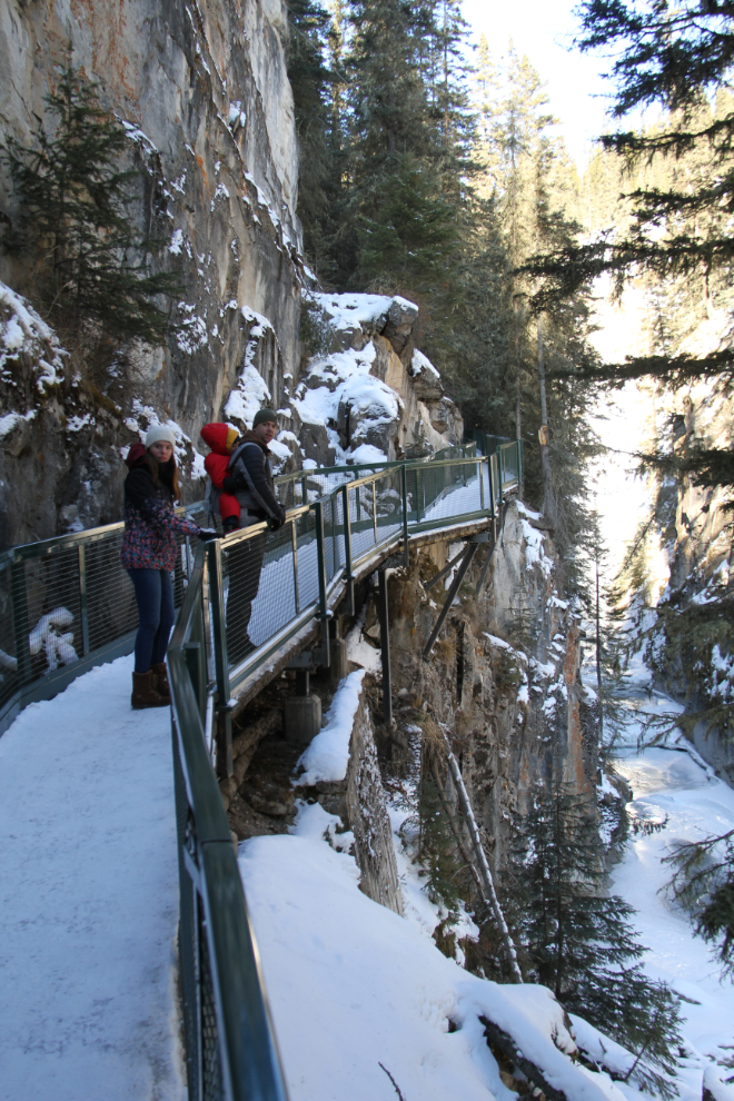
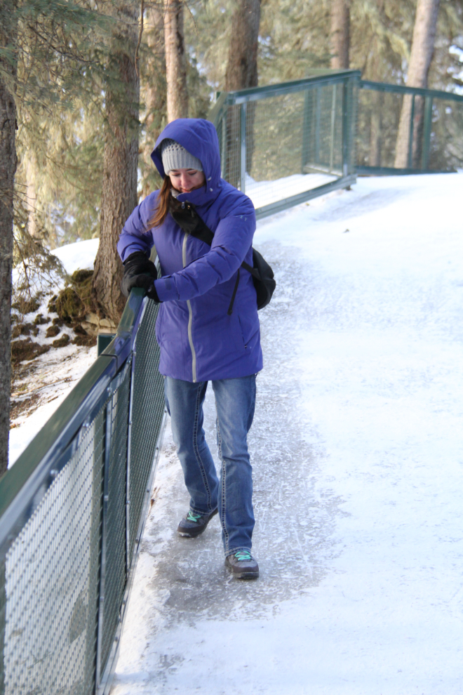
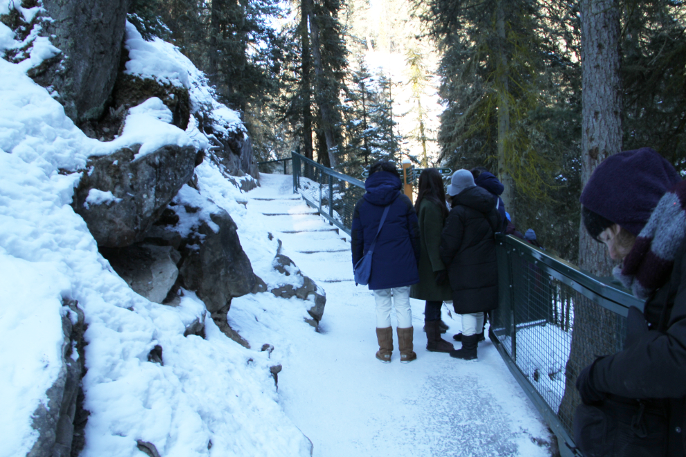
The trail was extremely slippery in places – Andrea shows how to use the railing to get down safely 🙂 Having a pair of crampons (ice grippers that clamp on to your boots) is recommended for winter hiking. We saw a few people with them, and they were having an easier time of it.
At Maligne Canyon at Jasper, you can hike along the bottom of the canyon in the winter. I expect that the same holds true here in normal winter temperatures, but it certainly wasn’t an option on this day.
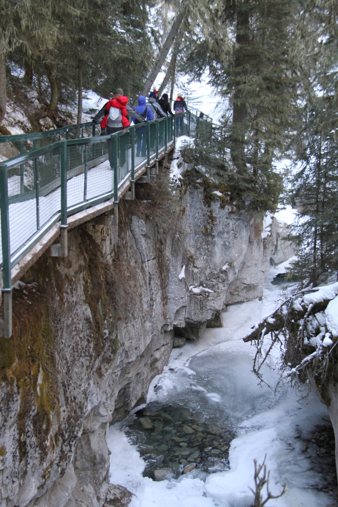
The catwalks go to the bottom of the canyon for a little way, giving you a different feel for the place.
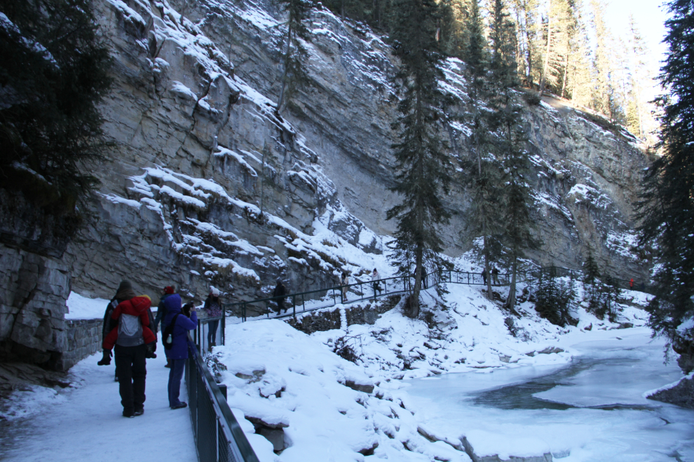
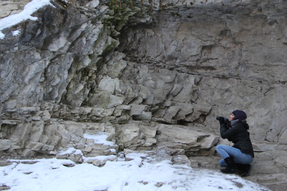
Being in the bottom of the canyon gave Kylie some new photo ideas.
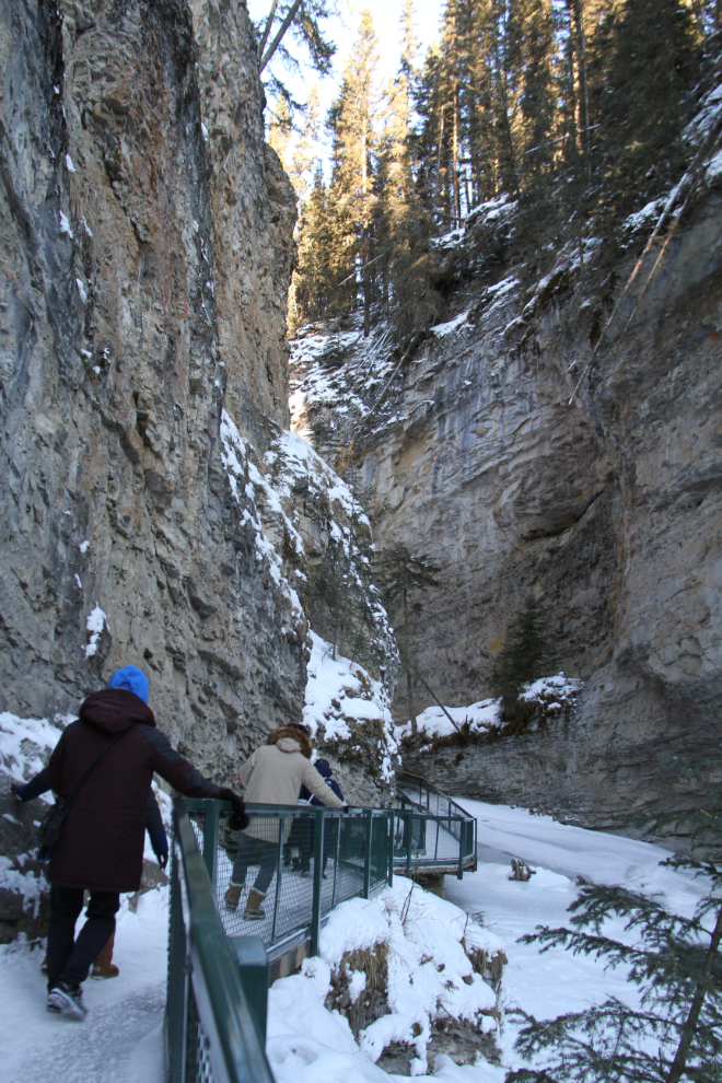
In some places the catwalk is very narrow. I can’t imagine that summer crowds make this a very good experience.
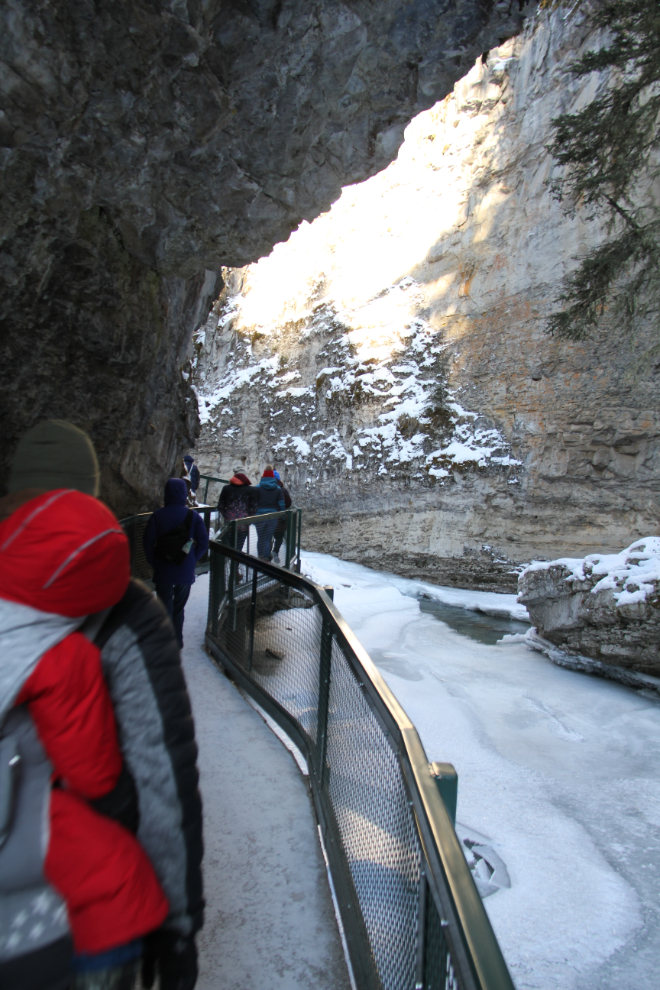
Feeling of the power of the canyon is wonderful, and the overhanging cliff at this spot is very cool!
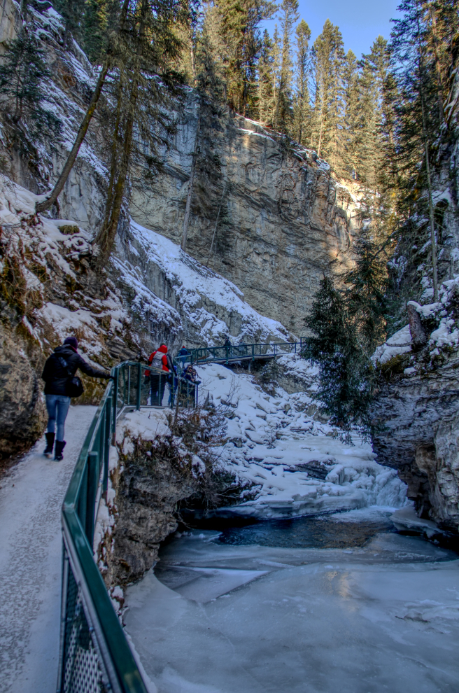
The icy up-slope along this section was problematic when there was oncoming “traffic,” with both directions generally wanting the non-slippery snow part 🙂
The trail splits here, with the Lower Falls to the right and the Upper Falls and Ink Pots to the left. There was a lot of ice on either route, and there was quite a jam-up of people here as many tried to decide whether or not to continue. Kaitlyn and Rachel braved the ice going down to the Lower Falls and came back with reports that it wasn’t as bad as it looked.
Access to the Lower Falls is particularly impressive, with a bridge across the creek and then a small tunnel to go through to a very small viewing spot.
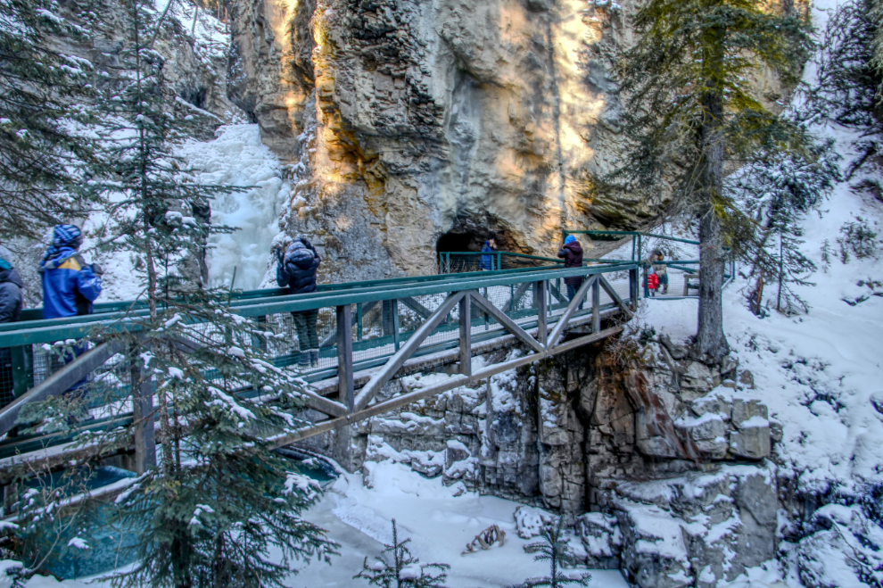
The Lower Falls from the viewing spot beyond the tunnel. There’s only room for a half-dozen people there.
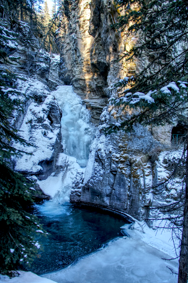
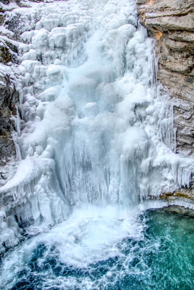
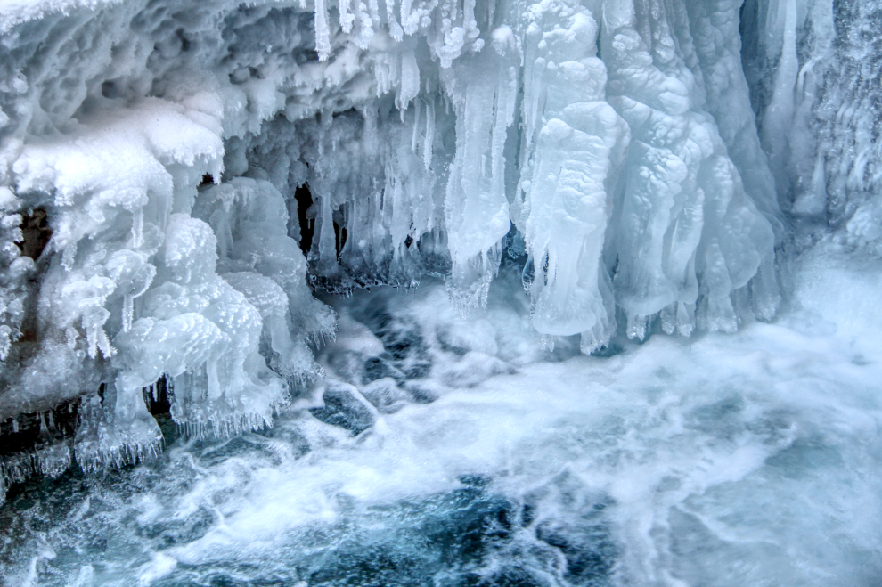
A couple of closeups of the Lower Falls. I love waterfalls at any time of the year, but winter is particularly special.
With everyone thoroughly pleased with the hike (well, Brock slept through most of it on Steve’s back 🙂 ), we decided to stop for a snack, and Andrea suggested poutine at La Belle Patate (“The Beautiful Potato”) in Canmore. It’s just a teeny place, out of the way in an industrial area, and I was a bit shocked at the prices. But, our little group had a wide variety of poutines, and everyone agreed that it was exceptionally good. The upper one is a large “Saucisses” (hot dogs), for $15.24, and the lower one is my small “Steak Hache” (hamburger and onions), for $11.43.

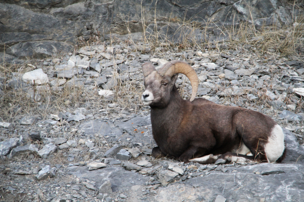
We took Highway 1A for part of the way home from Canmore rather than the freeway, and were quickly rewarded by this sighting of a Rocky Mountain Bighorn sheep ram (Ovis canadensis). There was no place to pull over, so I just fired several shots through Steve’s open window as we went by.
That was an awesome day with the family. We weren’t finished for the day yet, but I’ll make a separate short post for the night activity.
