Yukon RVing: Exploring around Kluane Lake
Although I had planned to be on the road for much of the 2 weeks that Cathy was visiting family in Ontario, it didn’t work out that way, for a few reasons, one of them the weather. July has been very wet in Whitehorse, dampening both the forests and my enthusiasm for getting out into the mountains.
When I saw a good weather forecast for Kluane Lake last week, though, I decided that would be our next outing with the RV.
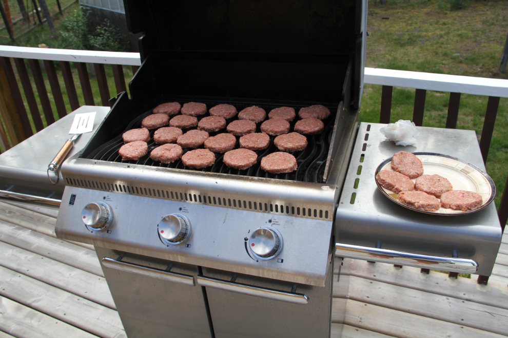
I originally planned to get away on Sunday, but by the time I got a bunch of Monty’s special meals barbecued and got the rig loaded, another storm had moved in, so I delayed until Monday.
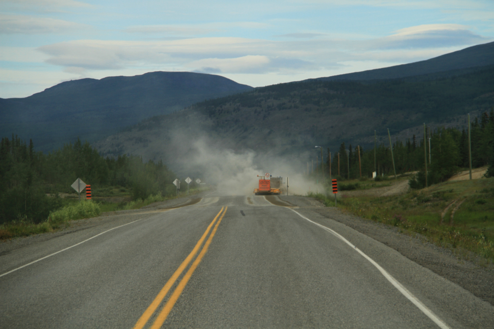
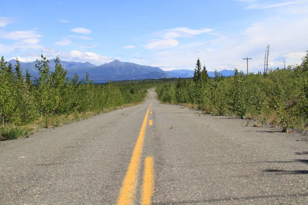
On Monday morning I was ready and finally excited to go. By 08:40 we were about 60 km (37 miles) west at the Takhini River Bridge on the Alaska Highway, where sweeping off the excess gravel from some resurfacing work was just being finished.
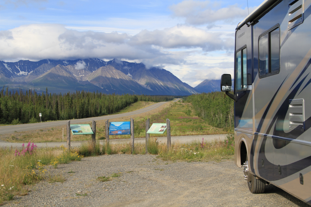
The Kluane Range Rest Area at Km 1566 as you near Haines Junction is certainly one of the most scenic on the entire highway. With nobody else there, it was a good place to give the dogs a run.
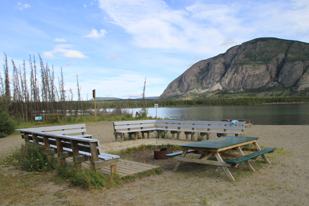
For possible future use, I drove into Pine Lake Campground at Km 1572 and had a good look around. I can certainly see why it’s so popular with Whitehorse families – it has a great beach, a lakeshore interpretive trail, and cell phone service. It’s a popular party place, and is gated from 10pm until 8am. We probably won’t be going camping there.
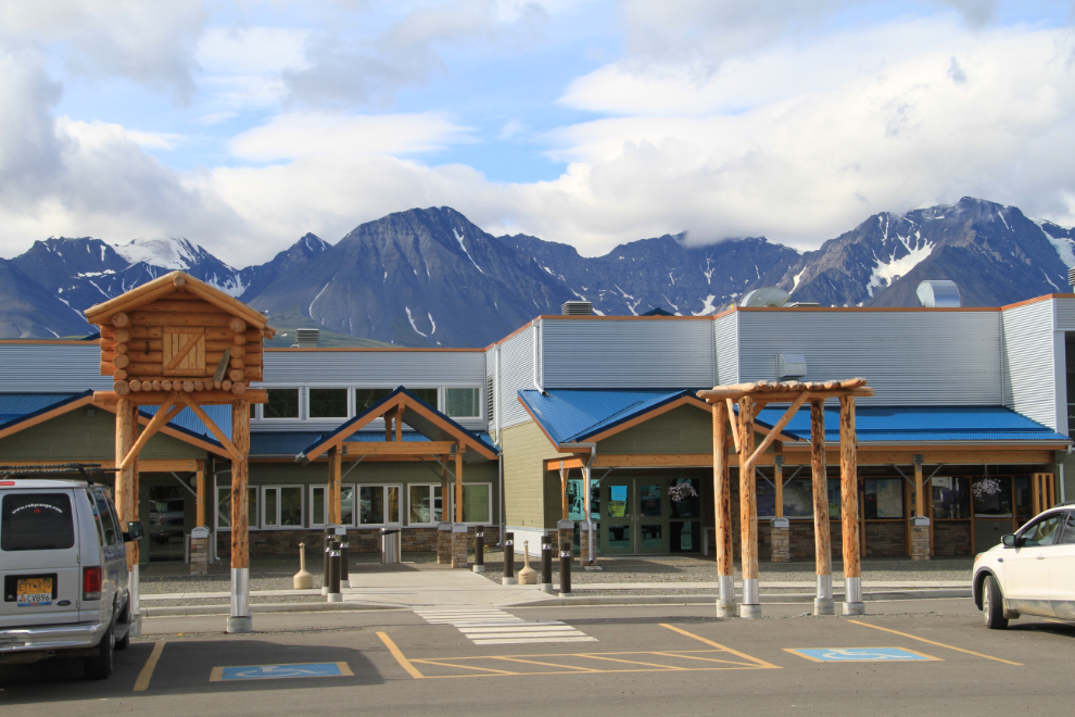
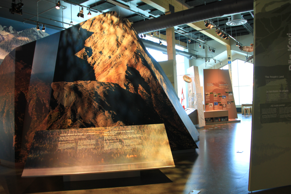
My goal for this trip was to see a few places and things in detail – some new places/things like Pine Lake Campground, and some I’ve visited before, like the visitor information centre at Haines Junction. It’s a beautiful building, but for me it’s the revolving art displays that make a stop especially worthwhile.
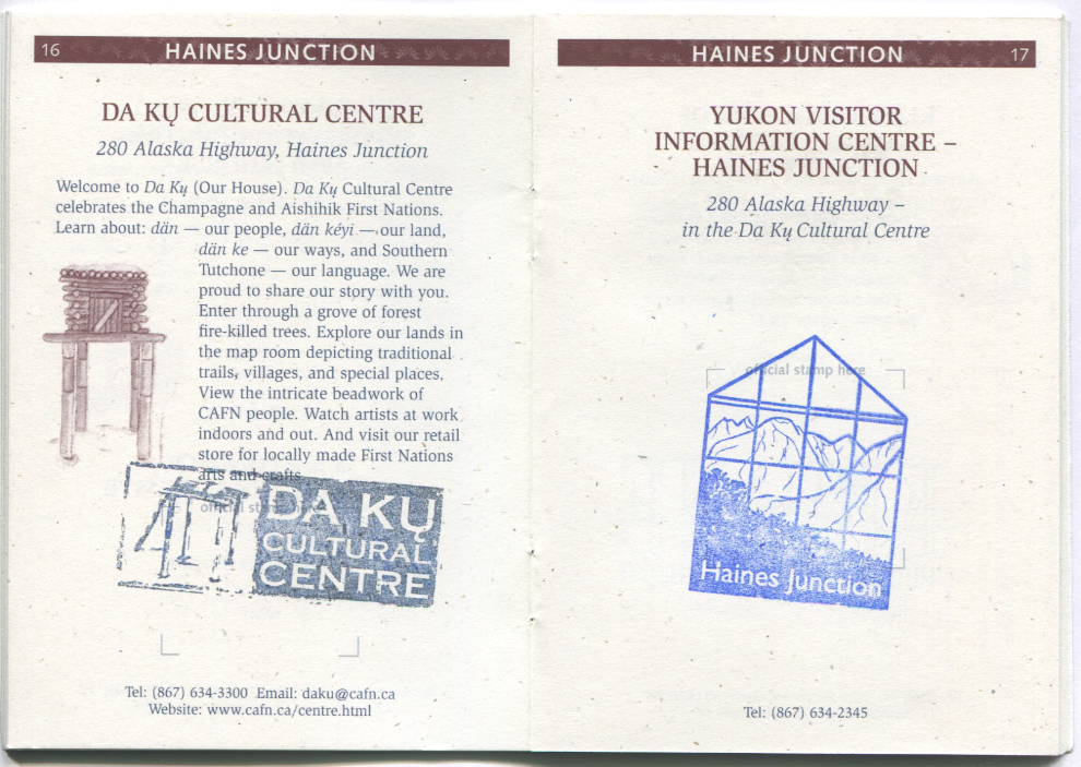
And I wanted to get my Yukon Gold Explorer’s Passport stamped 🙂
Designed for this space, the large “Ice and Flowers” installation was created by Doug Smarch, Jr., who grew up in Teslin, Yukon. It was inspired by the first drops of water in the Spring, which reflect back the faces that look at them, and uses the light from the large windows to add dimension to the thermo-formed clear acrylic masks. Flowers painted on the wall to the left (I wasn’t happy with the photo I took which included them) echo the decoration on the winter clothing that Doug wore as a child.
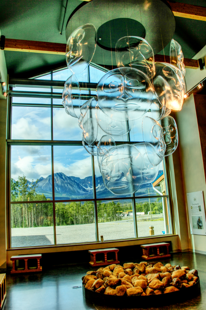
As well as the art, there is, of course, lots of information for visitors, from these large displays explaining some of the history and geology of the region, to the details of hiking, accommodations, etc.
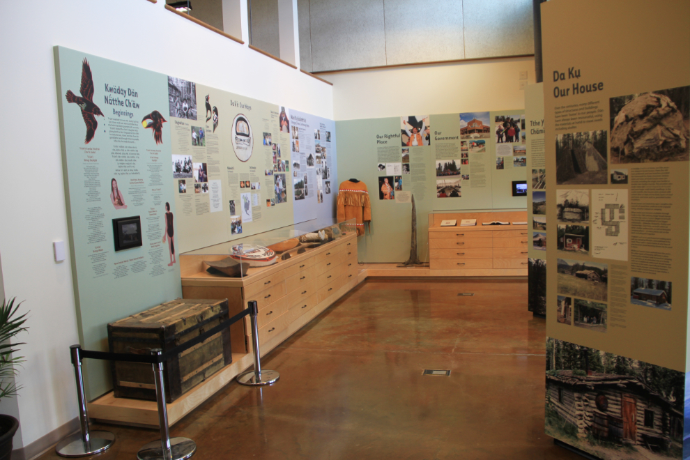
In a series of rooms adjacent to the visitor centre is the excellent Da Ku Cultural Centre, which celebrates the culture of the Champagne and Aishihik First Nation.
Just after 11:00, we pulled away from man-made attractions and headed into the vast land of mountains, lakes, and glaciers known to many as Kluane Country.
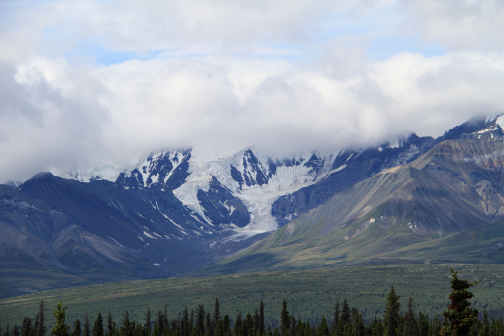
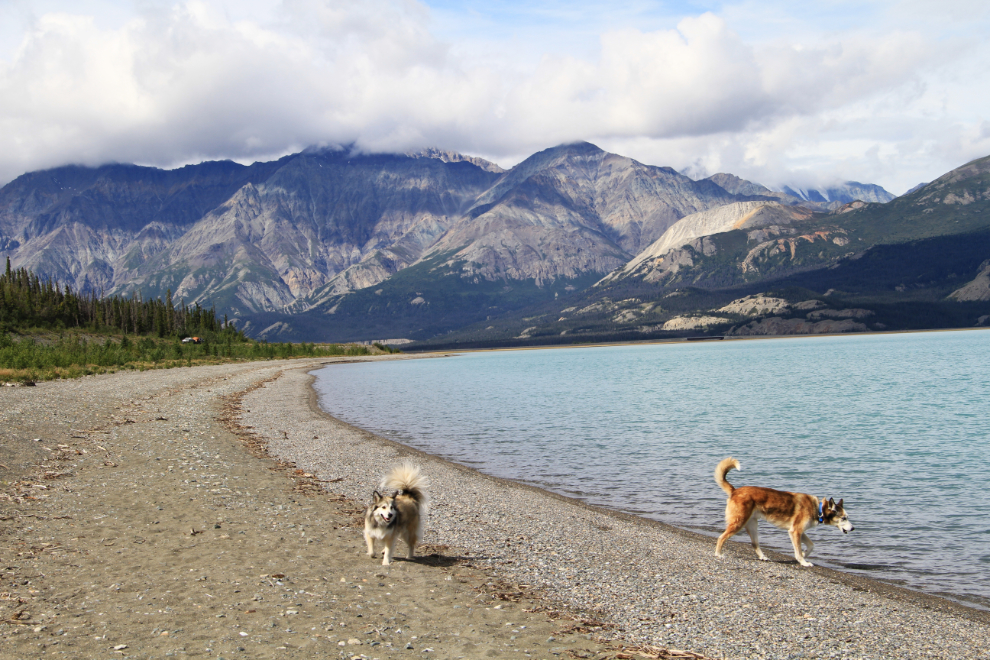
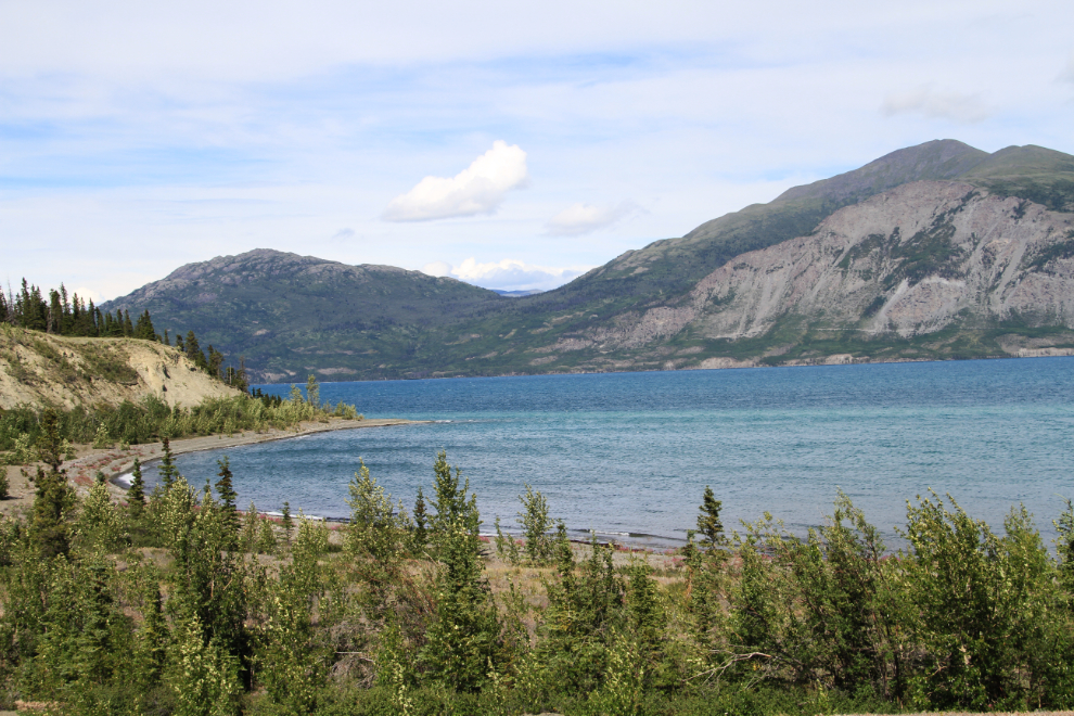
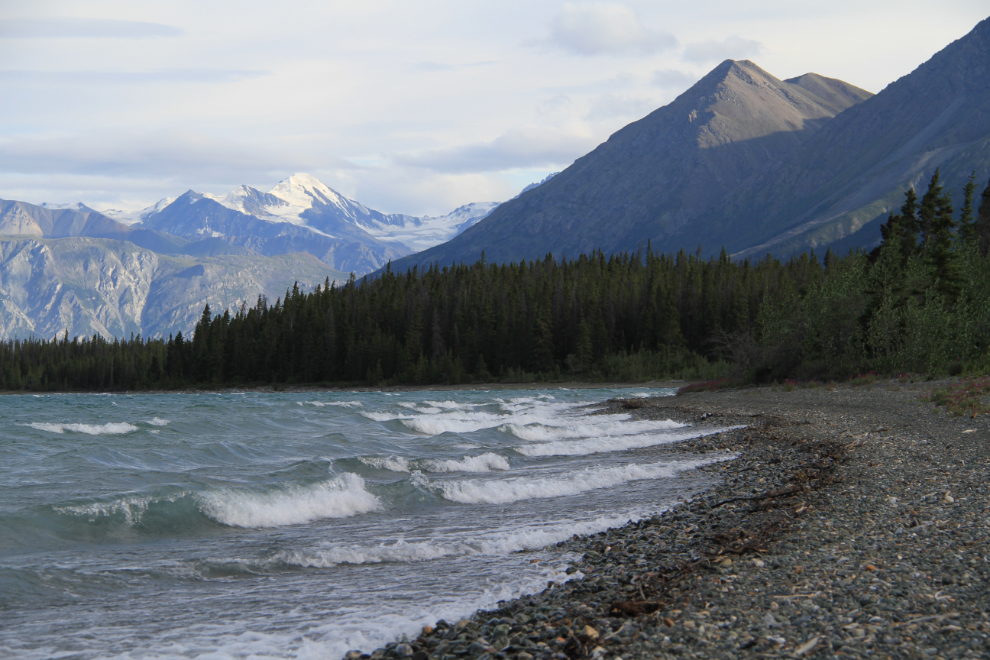
Kluane Lake – ahhhhhhhhh! I love Kluane, and our first stop on the lake was the large parking area at Km 1642, which is the first place that the Alaska Highway runs beside the lake.
The beach at this parking area goes on and on, for over a kilometer, I’m sure. It’s a superb place to play with Bella and Monty, with lots of sticks to throw into the water for the little one to fetch 🙂
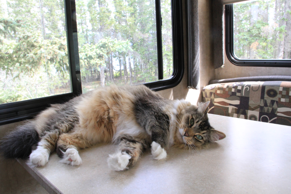
Our destination was Congdon Creek Campground at Km 1666. There are only 8 lakefront sites (as well as 31 in the forest), and by arriving at 12:30, I got one of them. Within a few minutes, Molly in particular had settled in nicely. I’m still amazed by how much she loves this life 🙂
After enjoying a leisurely lunch and another long beach walk with the kids, I unhooked the Tracker, and the dogs and I went exploring. A very strong wind had come up, so launching the canoe at this lovely bay had be taken off the list.
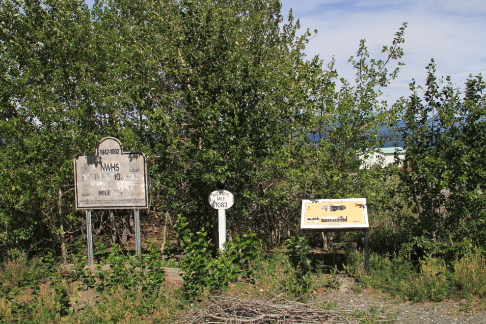
This interpretive area at Destruction Bay used to have a wonderful view of the lake. All of the signs installed for the 50th anniversary of the highway in 1992, like the one on the left in this photo, are in very poor condition now.
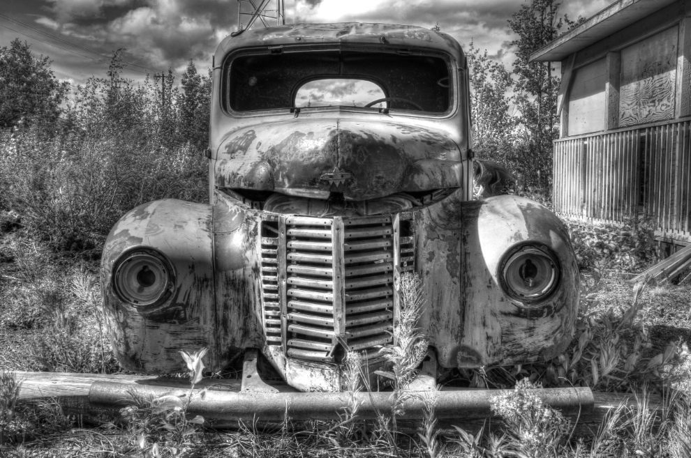
Behind the trees in the photo above, though, is this 1940s International truck, and a shelter with several more interpretive signs, and chairs set up as if it’s used as a classroom of some sort. I rarely shoot black-and-white, but the truck seemed like the perfect subject for it.
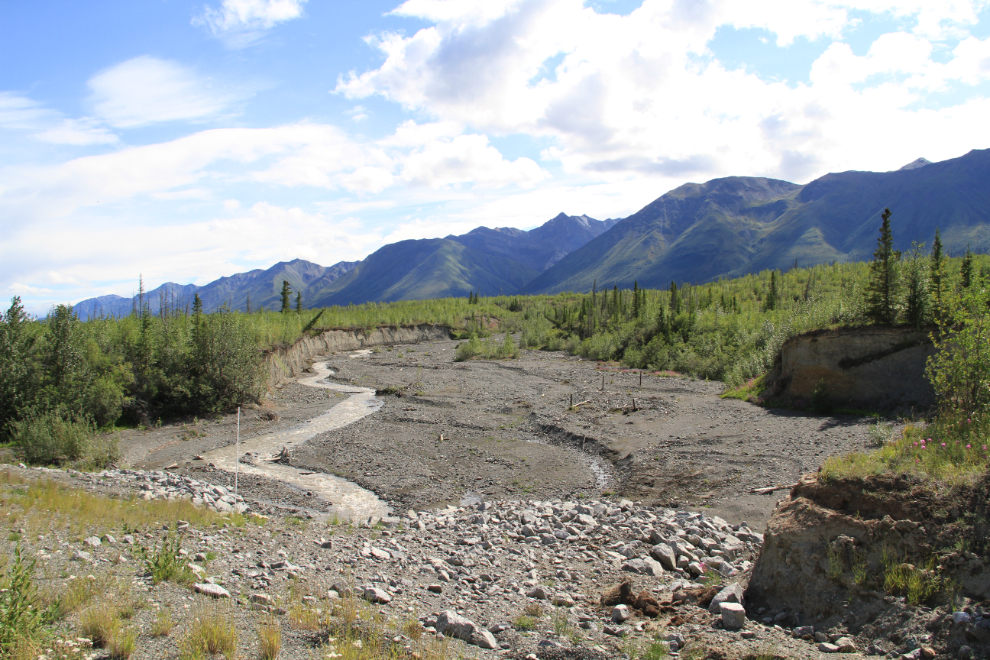
For Alaska Highway engineers and maintenance crews, the creeks that run under the highway into Kluane Lake have always been a problem. Flash floods are common, and the sand and gravel that they run across erodes quickly – the creeks regularly choose new routes that often don’t match the culvert locations. This is Copper Joe Creek at Km 1695.3.
Beside the current highway at Km 1696 is a well-preserved section of the old highway. The new highway in this area was built in about 2002, but this may well have been the bed of the original 1942 road.
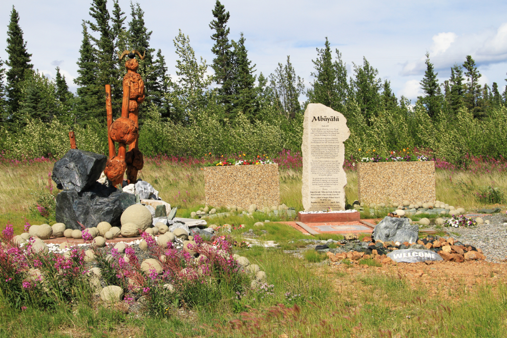
Just west of the section of old highway, the new highway makes this odd detour. My memory of it is that a couple of old graves had been found in the location that is bypassed, but a woman I met in Burwash Landing later said that it was done to protect some rare flowers.
About 3 years after the bypass above had been built, though, a young man from Burwash missed the curve and was killed in the resulting crash. A large memorial to “Dougie” Twiss now dominates that space.
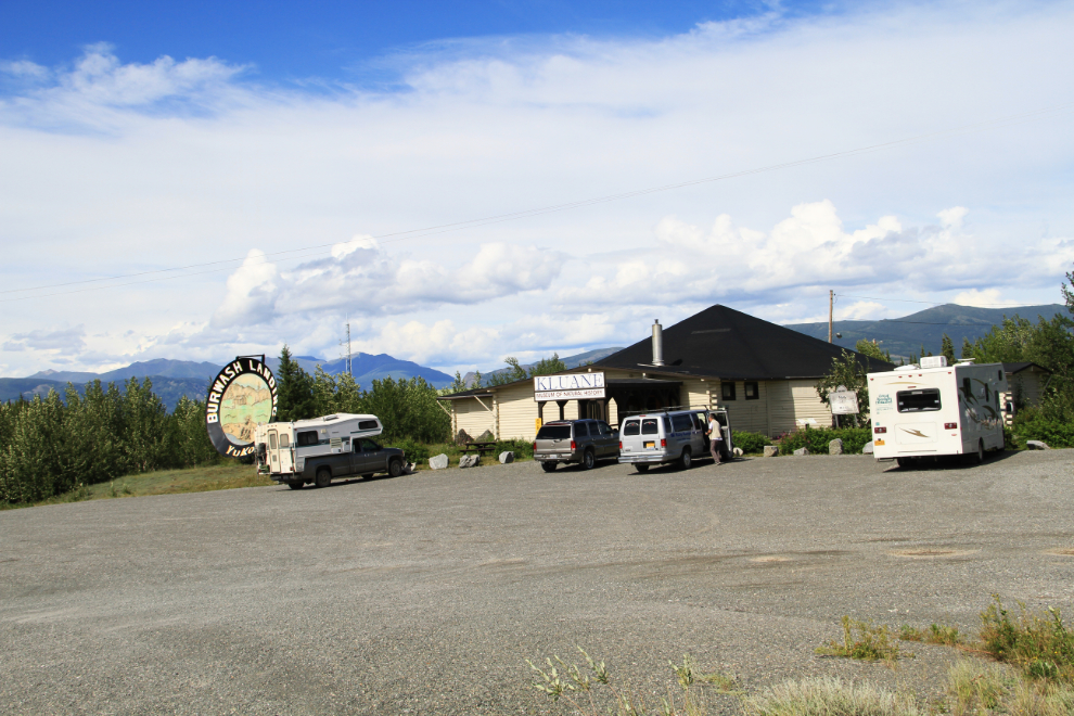
The next stop was at the Kluane Museum of Natural History in Burwash Landing ($5 admission). With the dogs in the car, it had to be a fairly quick walk-through, but it had been a few years since I’d been in.
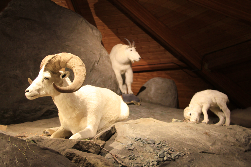
It’s the extremely high quality taxidermy such as these Dall sheep and mountain goat that the museum is famous for.
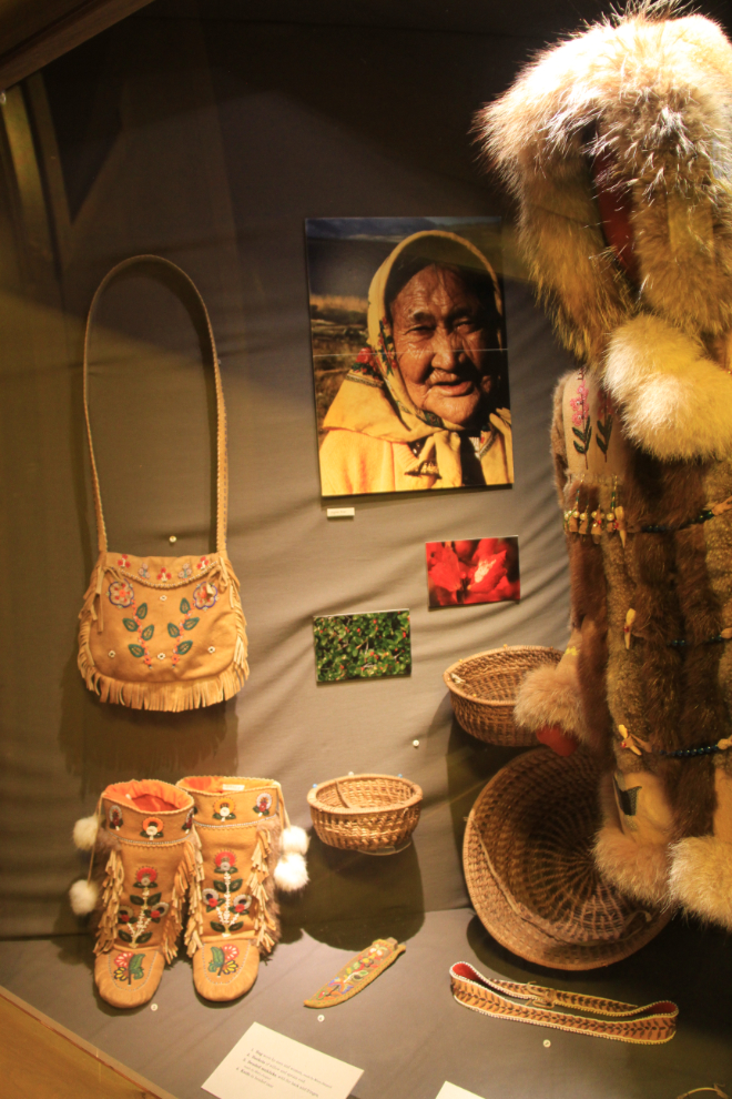
But other displays are equally as well done.
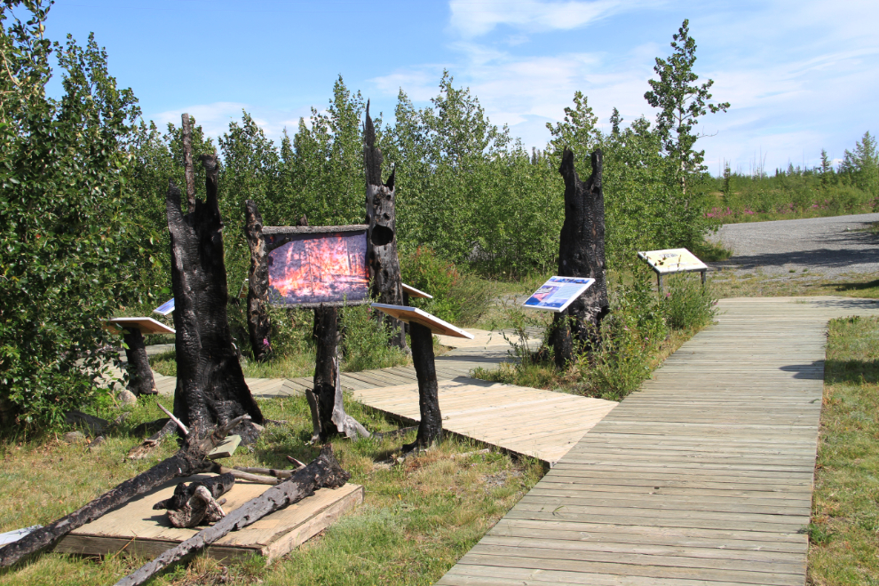
Back outside, this installation tells the story of a garbage fire that got away in June 1999 and resulted in the community being evacuated and 5 homes lost.
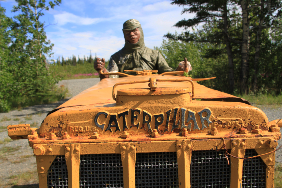
This Cat recalls the day when the Alaska Highway arrived.
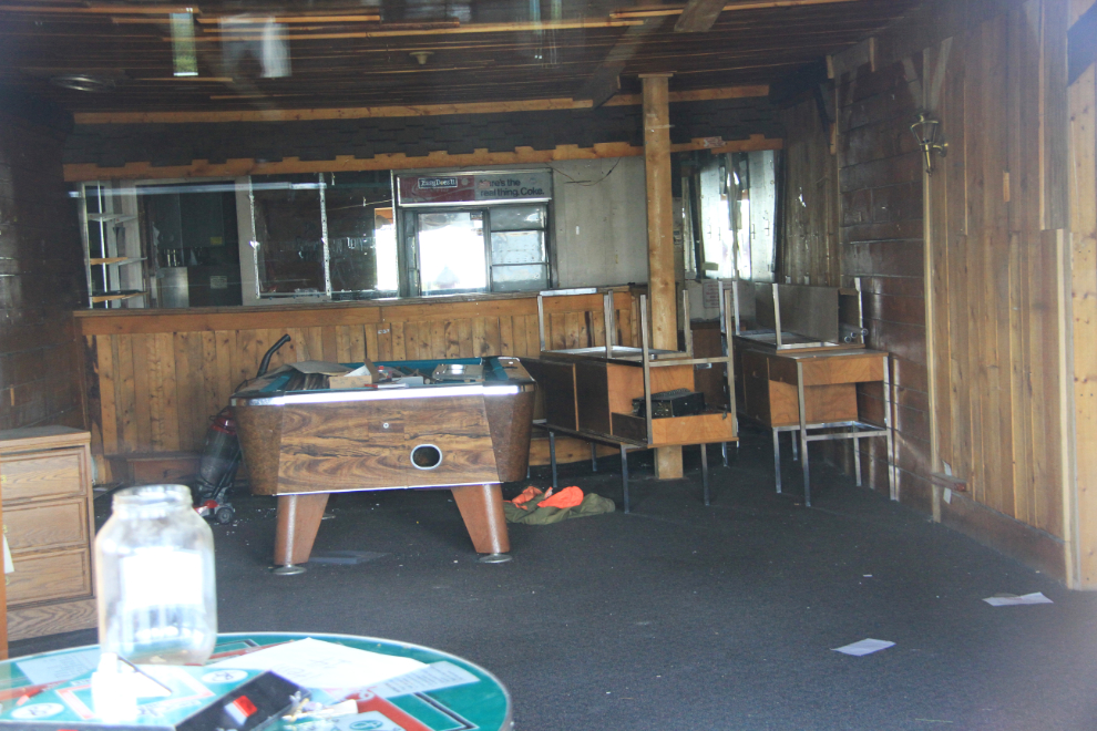
It was time for a break for the dogs, so we went down to the beach in front of the abandoned Burwash Landing Resort for a walk. Then, probably for the last time, I looked through the resort windows into the lounge where I’ve hoisted many, many pints of beer over the past 30 years (I first came to the Burwash Landing Resort in 1985 during my airplane-based holiday).
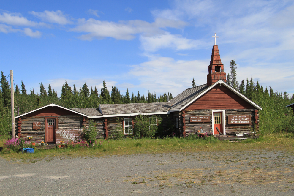
With the kids refreshed, I made a stop at Our Lady of the Holy Rosary Catholic Church. It was built in 1944 by Father Eusebe Morisset, OMI, with materials from an abandoned army mess hall at Duke Meadows, on land donated by lodge owners Eugene and Louis Jacquot.
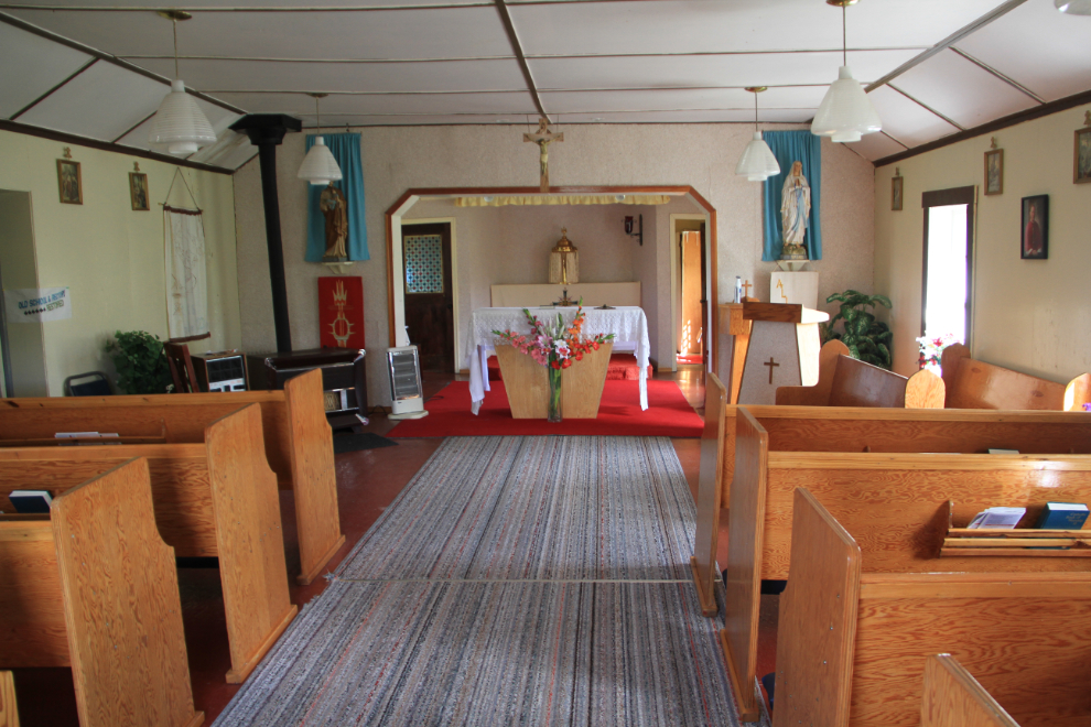
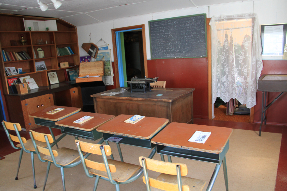
Fred and Margaret O’Brien, missionaries at Burwash Landing in the early 1990s, set up the front room of the old rectory as an exhibit to represent the classroom that was in use for many years.
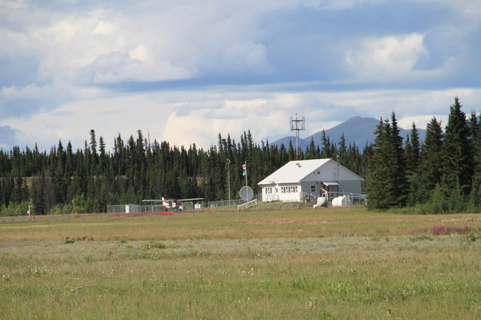
Thoroughly enjoying my explorations, the Burwash airport was the next stop. I probably hadn’t been here since 1985, and I doubt that anything has changed substantially. The terminal door was locked, and I din’t bother to knock to see if anyone was there (a car was in front of the terminal, so there may have been).
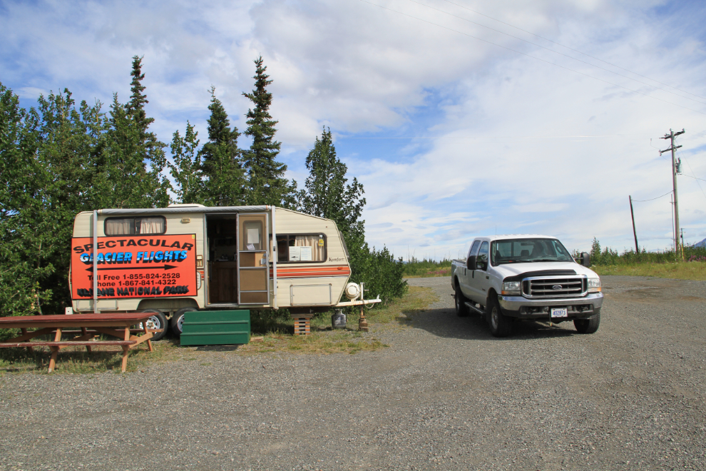
In an airplane kind of mood now, I went back to the museum, where flightseeing company Rocking Star Adventures has a trailer. I discussed the options with them, and went away hoping that before I left, fewer clouds and much lighter winds would make it worth investing almost $300 for a 45-minute glacier flight.
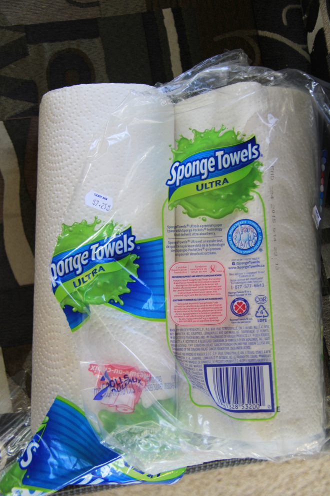
I had forgotten a couple of kitchen items for the RV, so stopped at the convenience store in the Talbot Arm Motel on the way by. A pound of butter at $6.75 and 2 rolls of paper towel at $7.25 will make me more careful about double-checking what I pack 🙂
We were back at the rig before 6:00 – it had been a fun 3 hours, even for Monty and Bella. After dinner, another long walk on the still-windy beach at the campground…
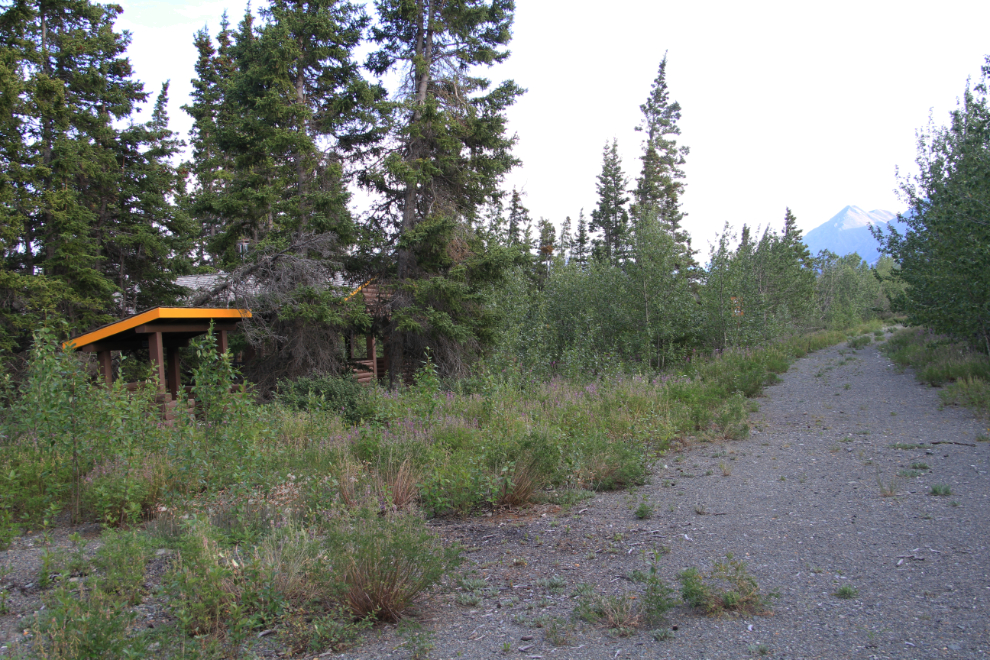
… and back through the large abandoned part of the campground. Although the Yukon campground guide still says that there are 81 sites, there have only been 39 for several years, the others having been closed because they were in an important grizzly feeding area (there are lots of soapberries, a favourite food).
We were all in bed early, and I had a few plans to make the next couple of days even more fun for all of us.