Yukon RVing: Exploring around Kluane Lake (Part 2)
Monday had been a busy and yet very relaxing day, and the plan was for the next couple of days to be similar.
We got off to a late start Tuesday morning (July 14 – I’m getting way behind!). Monty slept with me as usual, and Bella and Molly joined us early in the morning – perhaps 04:00 – for a few hours of snuggle time. That was all the encouragement I needed to stay in bed for a couple of hours longer than I do at home, and it was just after 07:00 when we finally got up and greeted the gorgeous morning. I wouldn’t be surprised if I never find another campground that I like as much as I do the one at Congdon Creek.
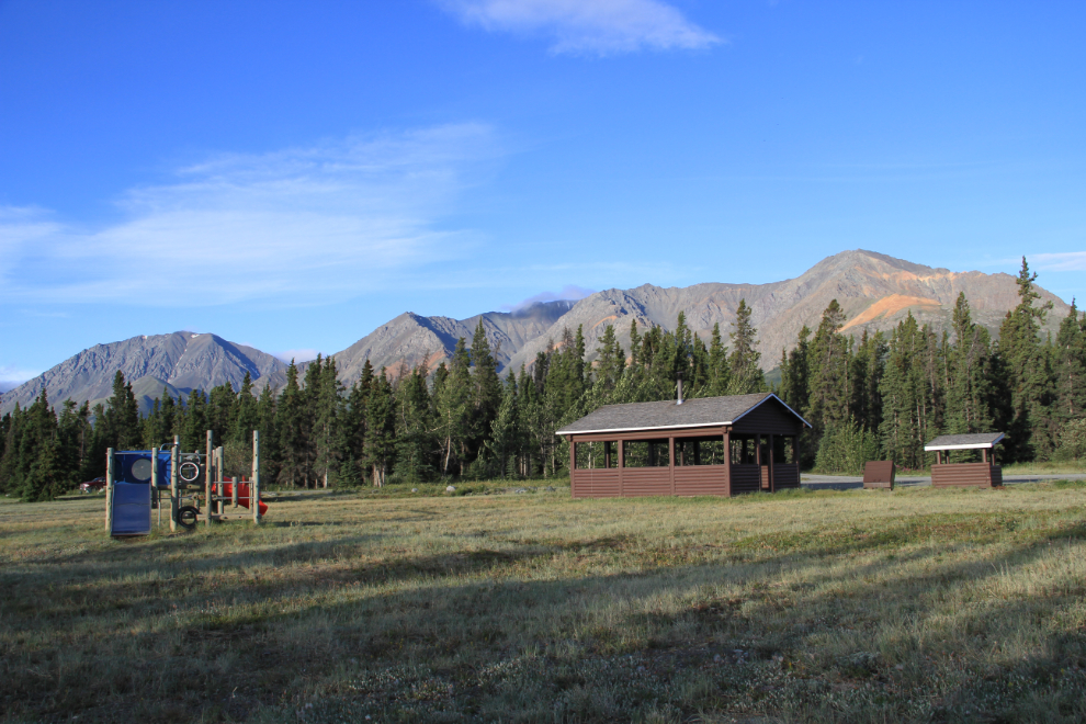
The dogs and I were back on the road just before 10:00, with no particular goal in mind. I mentioned yesterday that the creeks along Kluane Lake are a problem for highway engineers and maintenance crews. Nines Creek at Km 1676.8 of the Alaska Highway is an example – water hasn’t flowed down this channel in quite some time, but when the flash floods do happen again, everything is in place to handle it.
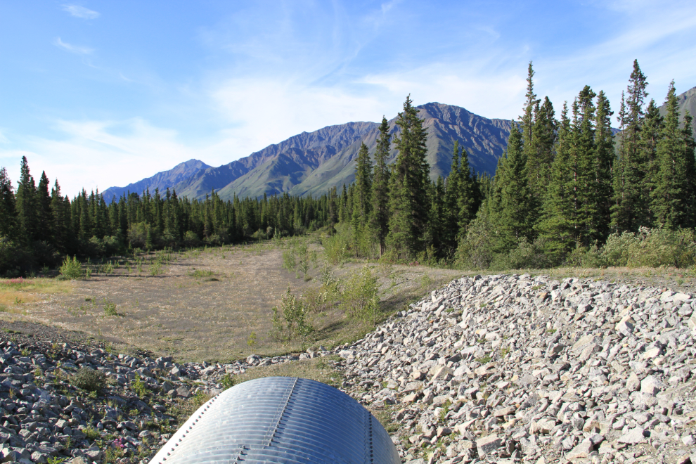
The next creek channel, though, Mines Creek, at Km 1677.5, sees heavy flows fairly regularly. It’s been many years since I’ve seen Mines and some of the other creeks along this section of the highway full and even overflowing, but I remember the sight well – it’s extremely impressive!
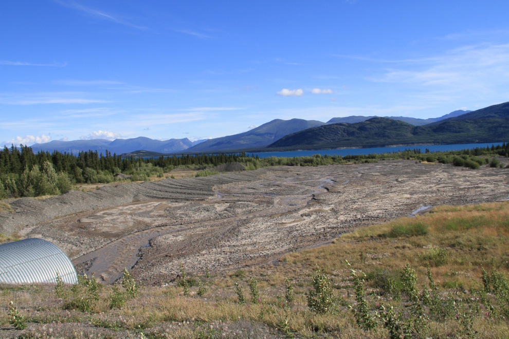
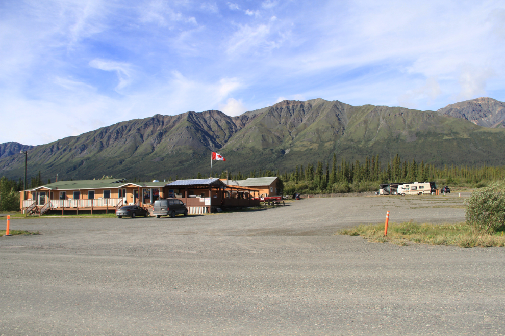
I wish that I had a better photographic record of all the lodges that have come and gone along the Alaska Highway since I started driving it in 1990. The Destruction Bay RV Lodge is one of the newer additions, having been built perhaps 15 years ago, but even it has been opened and closed at least a couple of times.
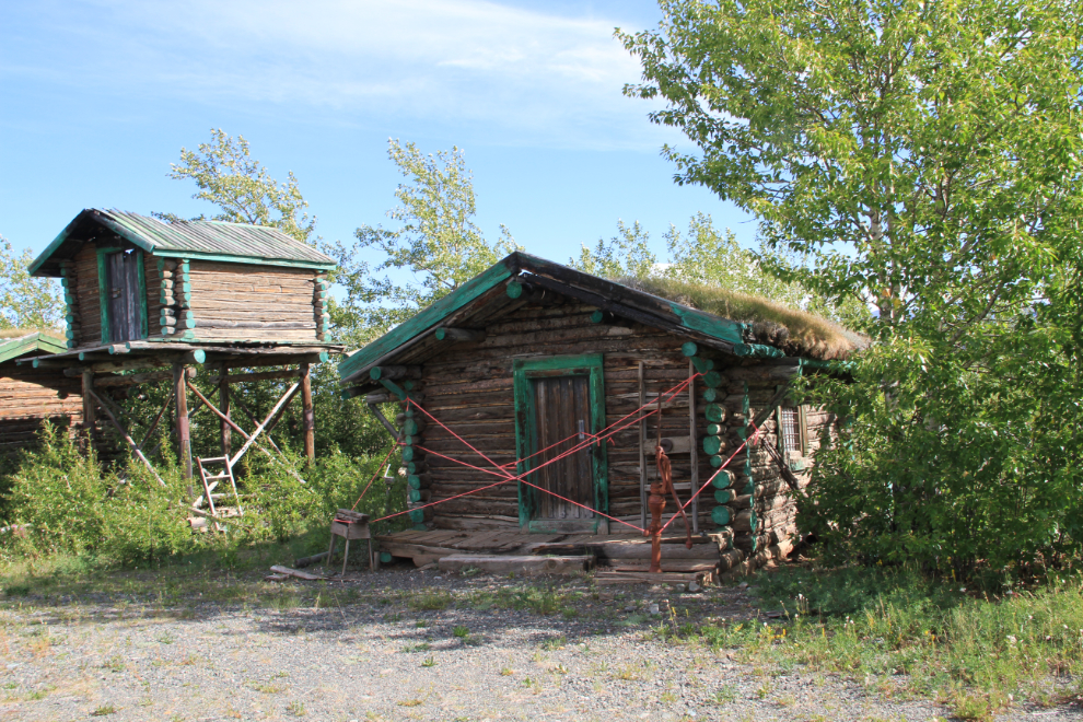
I decided to take a few more photos at Burwash Landing. The first stop was the Kluane Museum of Natural History again, but this time I wanted to see what’s around back. It used to be promoted as part of the museum, and I quickly saw why it isn’t anymore. The cabin and cache in this photo are both rotten and vandalized – certainly not safe to invite visitors to see.
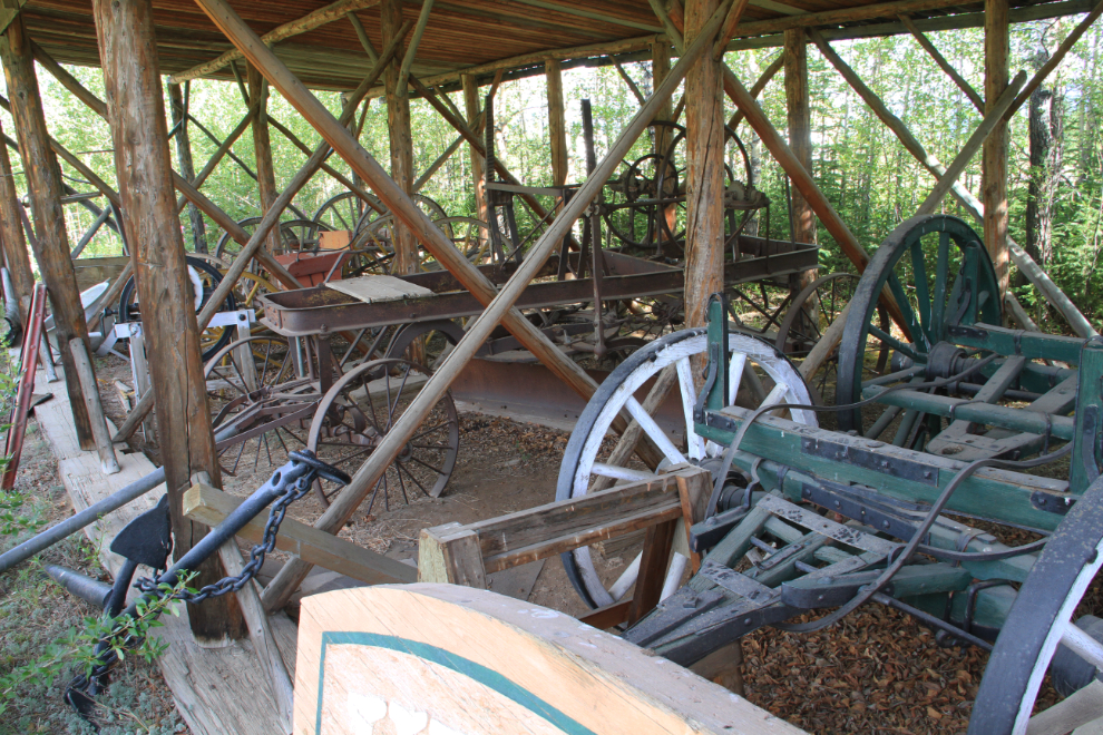
The really sad part about the back area is this fine collection of wagons and other artifacts that’s only partially protected and now seldom seen. I’d love to see this collection moved to the Yukon Transportation Museum.
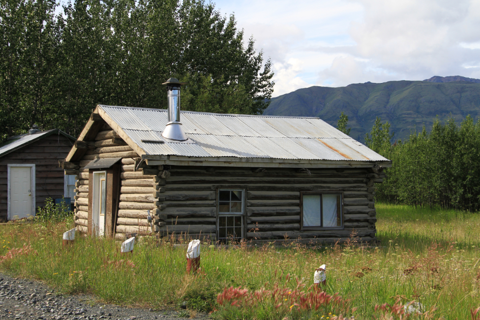
Jimmy Johnson built this log house for his very large family in 1929. It was originally located on the shore of Kluane Lake, but was bought by the Jacquot brothers, who owned the lodge and trading post, and moved away from the lake to be used as staff housing.
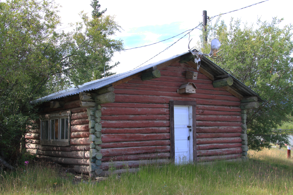
The “Moose Horn Cabin” was built by Louis Jacquot in about 1939.
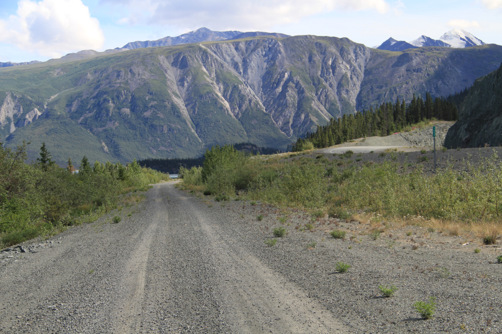
As 3:00 approached, I drove back towards Sheep Mountain, for a look at another section of old Alaska Highway. This one is below the new highway at Km 1651.9.
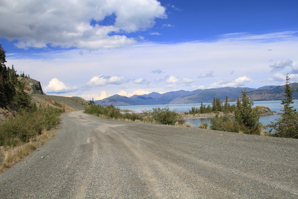
This boat launch is on that bypassed section of old highway.
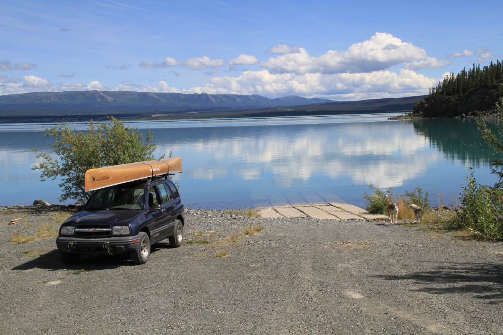
I should have taken advantage of the only calm period we had to launch the canoe, but didn’t.
Next, I wanted to have a good look at the old Alex Fisher cabin at the foot of Sheep Mountain. This is the way it looks from the modern highway eastbound.
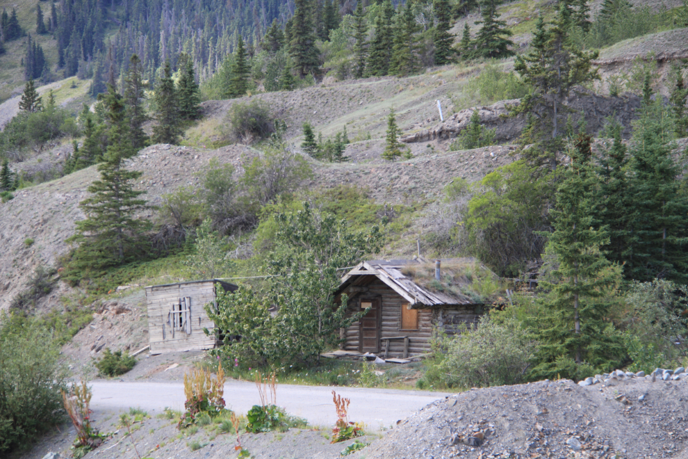
You can drive right up to it on this section of the old highway, which runs off the short access road for Parks Canada’s Tachäl Dhäl (Sheep Mountain) Visitor Centre.
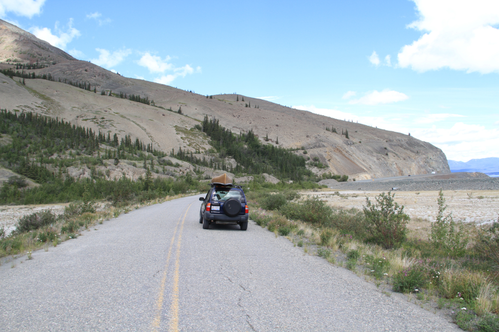
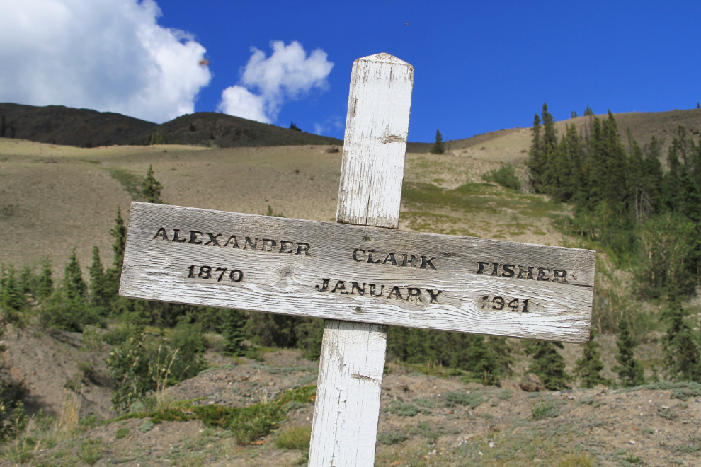
Alexander Fisher was an important guy in this area for almost 40 years, doing a wide variety of things including having the mail contract.
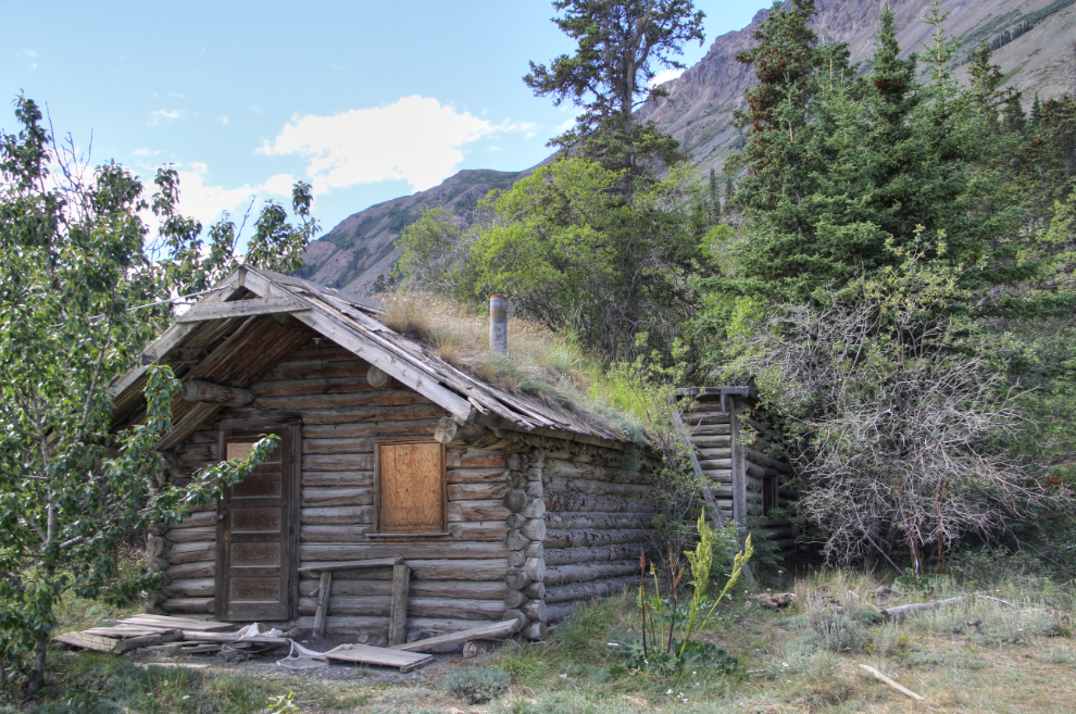
Looking from the cabin to the shed beside it, I was rather shocked to see a shadowy figure inside the shed, half hidden by willows.
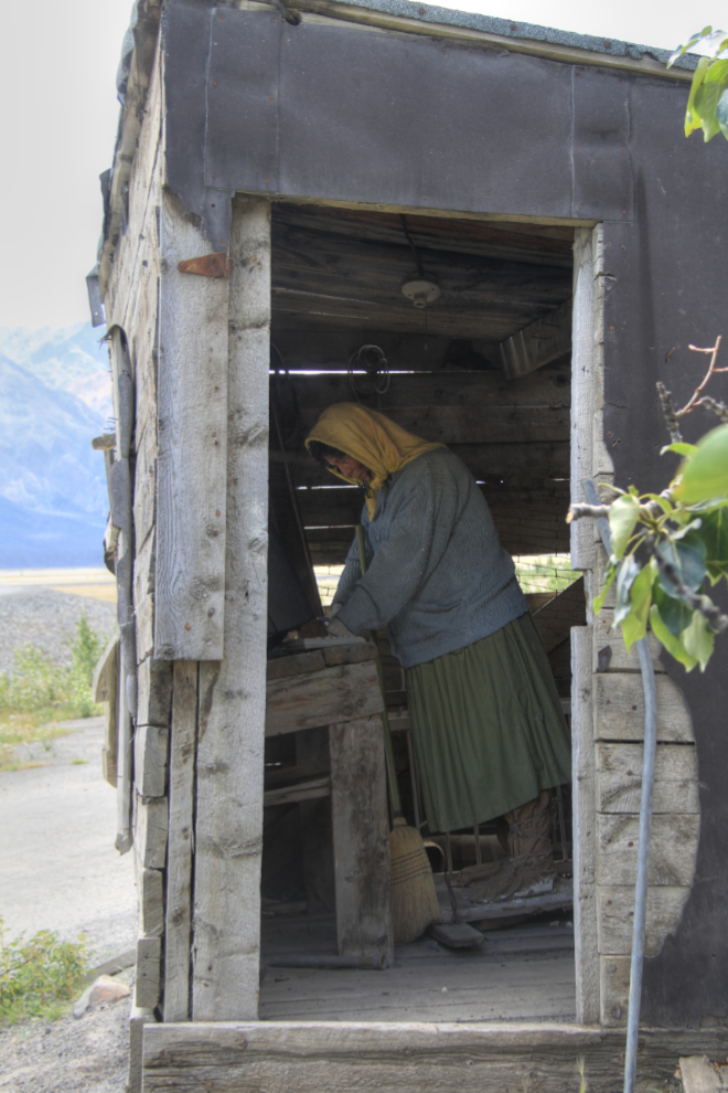
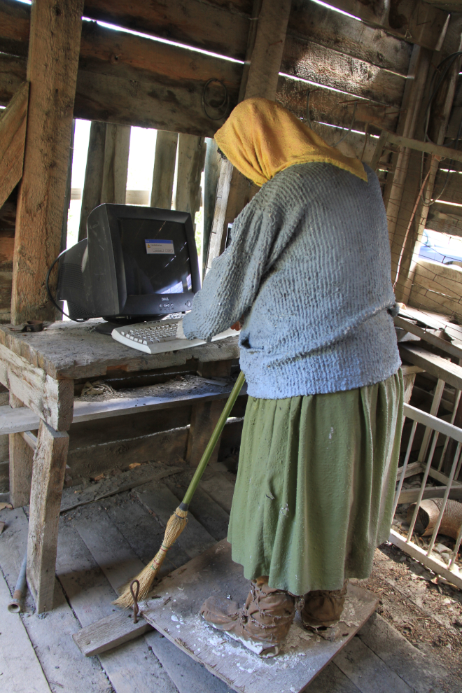
When I went for a closer look, this is what I found. A high-quality mannequin of a First Nations woman, typing on a computer. On the monitor, an “Error” message has been glued – it says: “Error. Cultural Identity not found.”, with buttons for “Accept Change” and “Try again”. I love it! A reporter from CBC saw a composite photo of this creation that I posted to Travel Yukon’s Facebook page, and phoned me for an interview. During their research for an article about it, they found the artist, Kelly Wroot. You can hear their interview with him here.
We next climbed up to Mr. Fisher’s grave, which has a panoramic view of the Slim’s River valley. It’s a wonderful place to reflect on what life would have been like for people like him before the highway came. He died a few months before the first U.S. Army surveyors arrived.
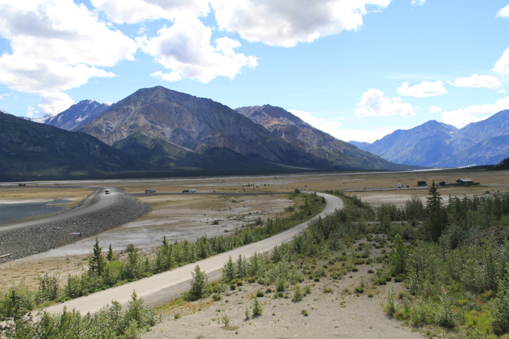
This is the view from Mr. Fisher’s grave. The new highway is to the left, the abandoned section of highway runs across the middle, and the Parks Canada centre is to the right.
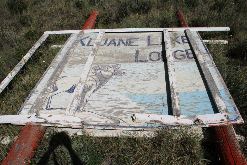
One of the other little projects I had in mind for this trip was to get more photos of 2 of the abandoned lodges along the Alaska Highway in the area. This first we visited was Kluane Lake Lodge at Km 1641. After being abandoned for many years, it was re-opened shortly after I arrived, probably in 1991, but only lasted for about 3 years.
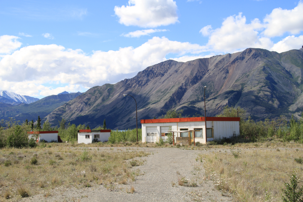
I recall it as being run on a shoestring budget, and never did see a reason to stop in.
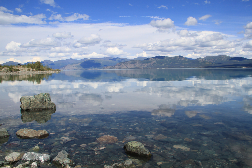
The large pullout at Km 1642.1 was much busier than it had been the day before, with good reason – the beach was warm and calm. The ramp at the west end of the pullout was rebuilt several years ago and has no issues – it’s wide and slopes gently.
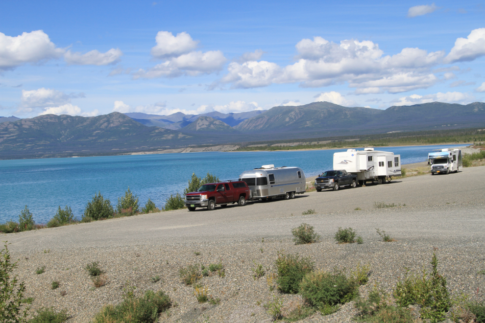
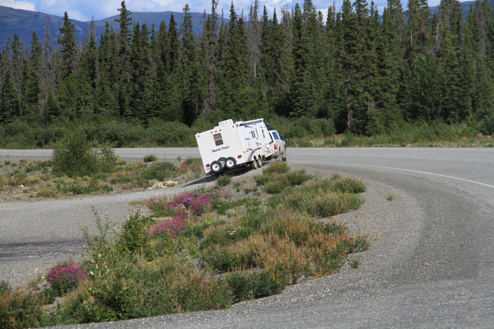
The ramp at the east end is an entirely different situation, and I couldn’t believe that this guy went out it. It seems to me that he wasn’t too far from having a lot more work to do than just re-packing all the stuff that flew out of his cupboards!
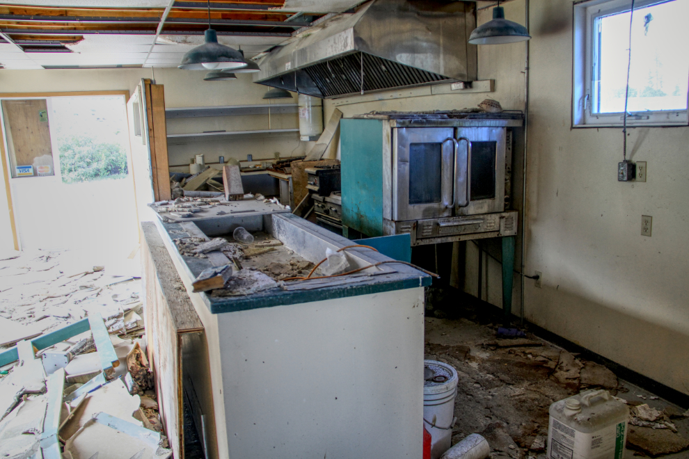
The next lodge to visit was the former Bayshore Lodge at about Km 1653. It closed in 2000.
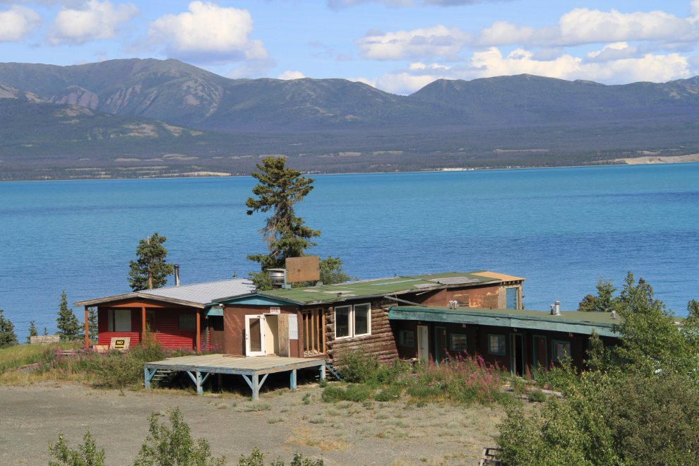
The final thing that finished the Bayshore off was the last re-routing of the highway – the lodge was not very visible anymore, and the new access was simply too awkward.
Seeing the Bayshore close was particularly sad for Cathy and I, as the owners had become good friends. This was the last room I stayed at.
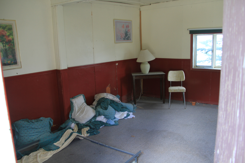
Putting your heart and soul into a place and then having to just walk away…
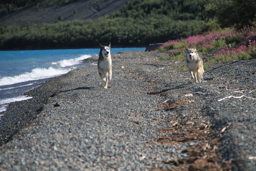
Okay, enough sadness – time for some beach play!!!
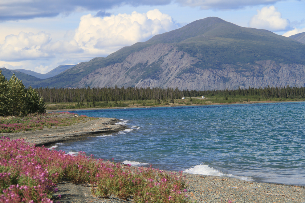
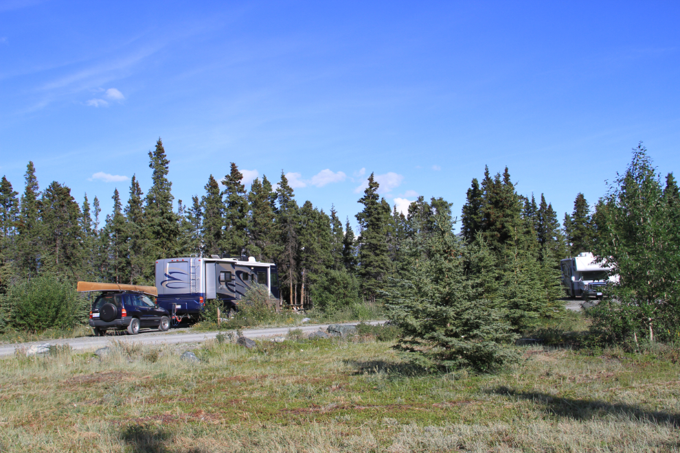
We got back to the RV just before 6:30. This photo shows one of the reasons that I love Congdon Creek – the sites are huge (the beach is about 100 feet in front of the rig).
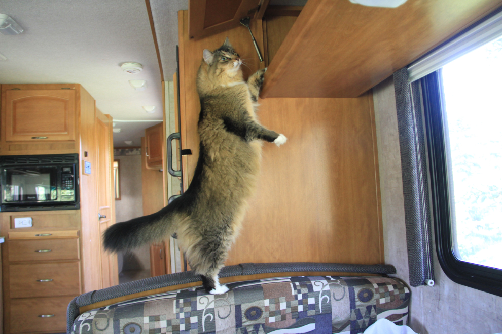
The wind had picked up again to the point that being outside wasn’t very pleasant, particularly for Molly, so we had a quiet night in. Molly still has some places to explore in the rig 🙂
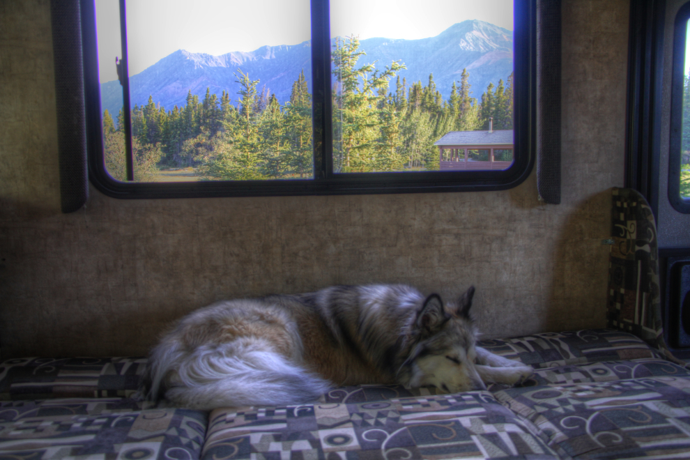
…but by 9:00, Bella was in bed – it had been a very busy day for my little girl.
Just after 05:00 on Wednesday morning, I opened my eyes for some reason, and saw an odd orange glow. When I got up, this was the view. Time to take the kids for a walk!!
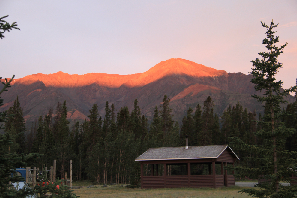
We spent half an hour walking up and down the beach. The changing colours and patterns in the sky, on water, and on the mountains were wonderful.
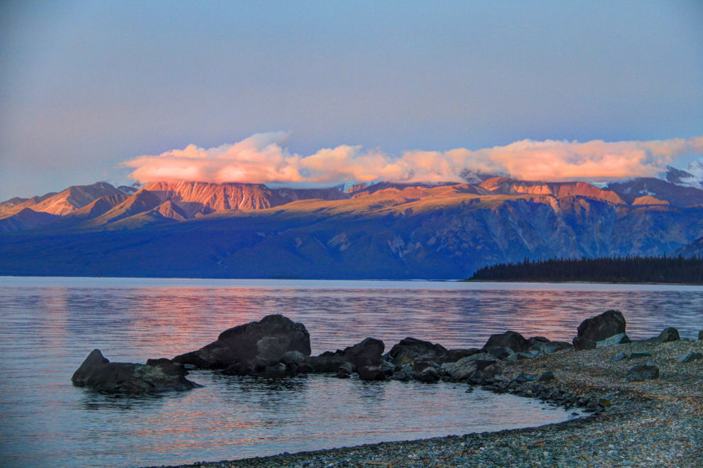
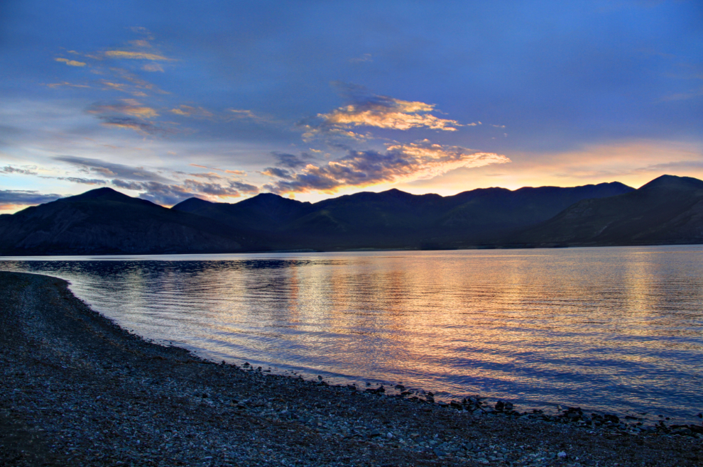
Once the colours had faded, we went back to bed for a couple of hours. The wind picked up again and clouds moved in, so I decided to wander slowly home after lunch. Cathy would be getting home from Ontario Friday night, and I had lots of work to do before then.
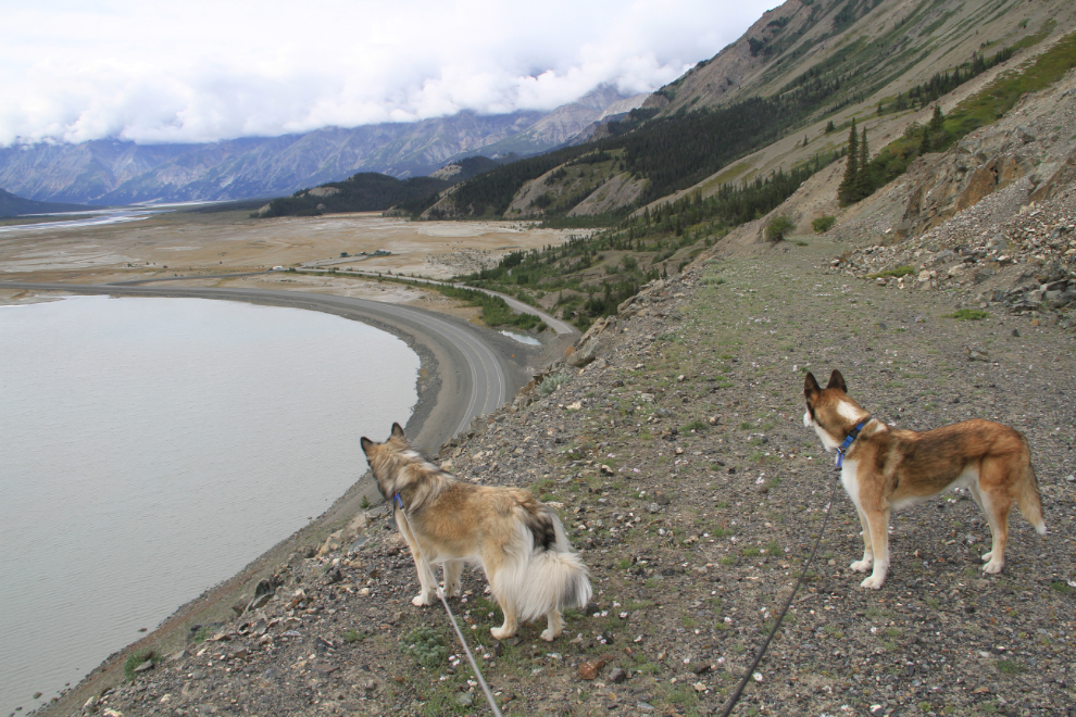
I wanted to go for one more long walk, and decided that continuing past the end of the Soldier’s Summit trail would take us down to the Sheep Mountain interpretive centre. As it turned out, that’s not the case, though – a few hundred yards past this point, a rockslide made any further progress too dangerous with 2 dogs. Things happen for a reason, though – even with the shorter walk Monty was done, and I had to help him up the RV stairs. I need to rely less on what he’s telling me by running down the beach laughing, and more on what I think he can handle now.
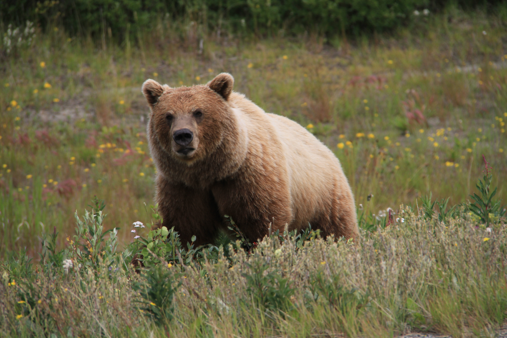
It had been a wonderful 3 days, but Mother Nature had one more gift for me. There’s no sight that thrills me to the core more than seeing a grizzly, and just before 2:00, we came upon this magnificent fellow eating soapberries beside the road. The dogs couldn’t see him from their position on the floor – even though there are windows that they can see out, they didn’t go to them.
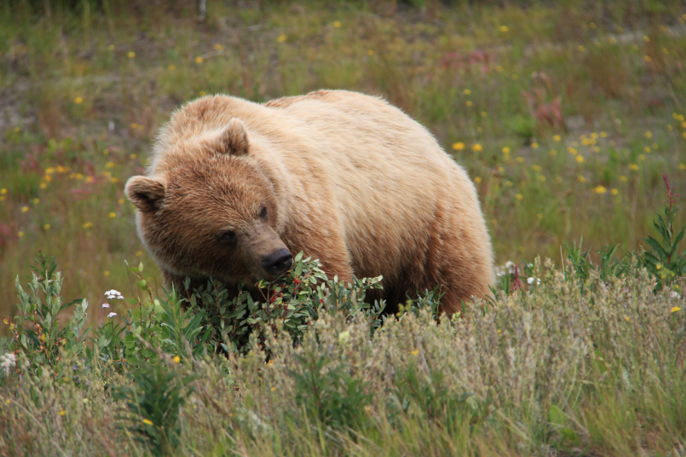
When the 3rd vehicle stopped, he decided that he’d had enough, and slowly wandered off into the bush.
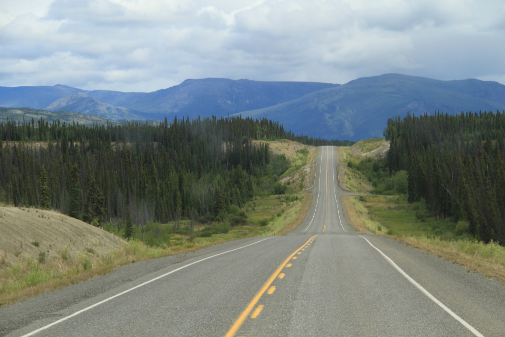
Headed home, at Marshall Creek, just east of Haines Junction.
It’s now July 24th as I post this, and in a few hours, after Cathy gets off work, we’ll be driving out to Congdon Creek Campground, again, but with Cathy this time. The weather forecast is good, but I’m not too worried about weather this time as I really don’t have any plans beyond relaxing and perhaps getting some writing done.