A walk along the Tutshi River
I needed to get out of the house on Friday, and with the weather looking not too bad in both Whitehorse and Skagway (though a possibility of showers in both places), decided to take the bike down the highway to the coast.
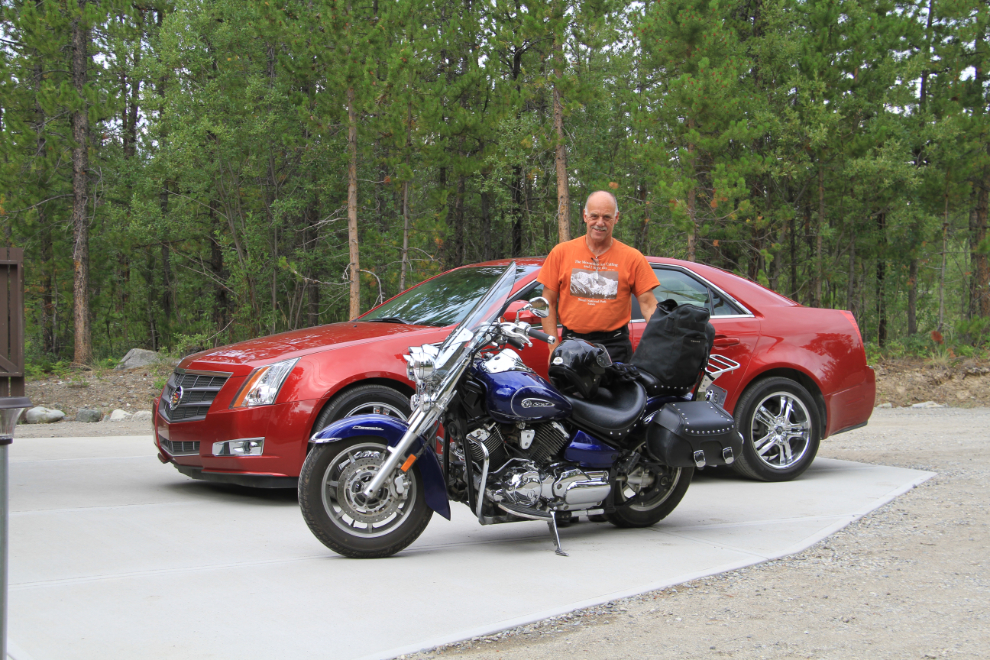
That plan didn’t work out, however. As I rode south, the temperature dropped further and further, and a couple of miles past Log Cabin, I stopped to reconsider. I had to either put on the extra layer of fleece I’d brought, or turn back. Part of the Skagway plan had been to hike up to Lower Dewey Lake and possibly beyond, but the screaming cold wind made that an unattractive option, so I headed back to Summer.
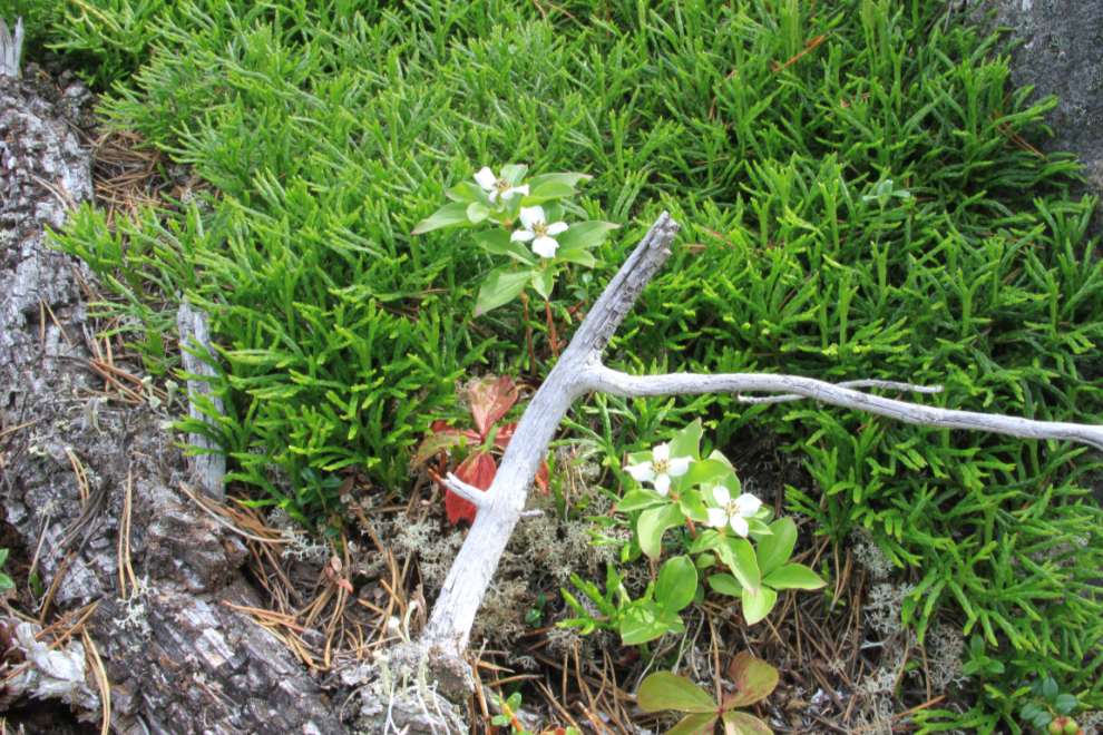
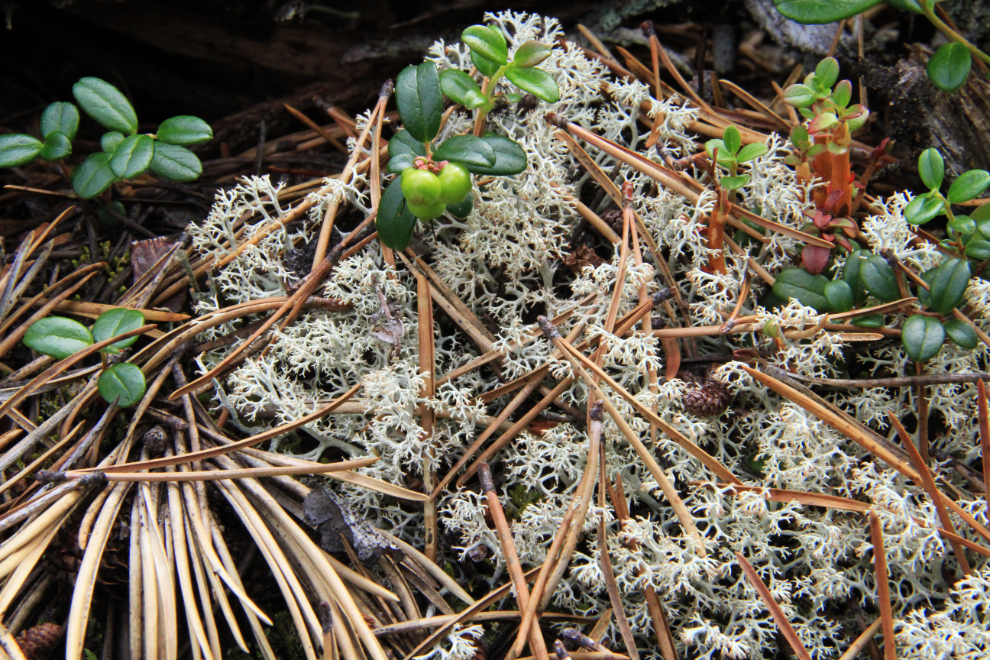
Although it hadn’t warmed up much yet, a walk through the forest to the Tutshi River at about Km 51 seemed like a good idea. There’s no trail, but the forest is lovely and there are plenty of photo subjects on the forest floor.
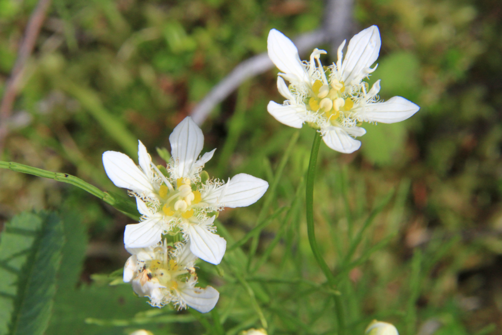
The flowers in the next photo are Dwarf Dogwood, a.k.a. Bunchberry, or Canadian Dwarf Cornel (Cornus canadensis)
This very old trail, now invisible except where it was corduroyed across wet spots, is still a mystery to me. It obviously pre-dates the highway (the condition of the logs makes 50-60 years ago my guess) but I can’t imagine why it was built except perhaps for some horse logging.
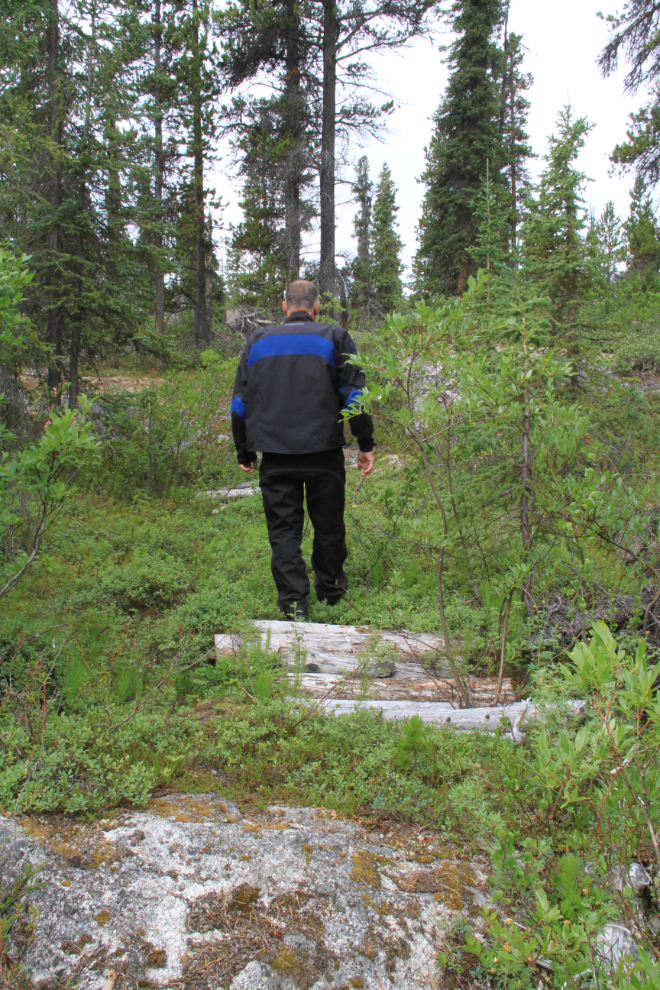
I ended up at this peaceful spot. It’s a channel that only flows at very high water levels, which the Tutshi has now. The main channel of the river is perhaps 200 feet off to the left across what’s now an island.
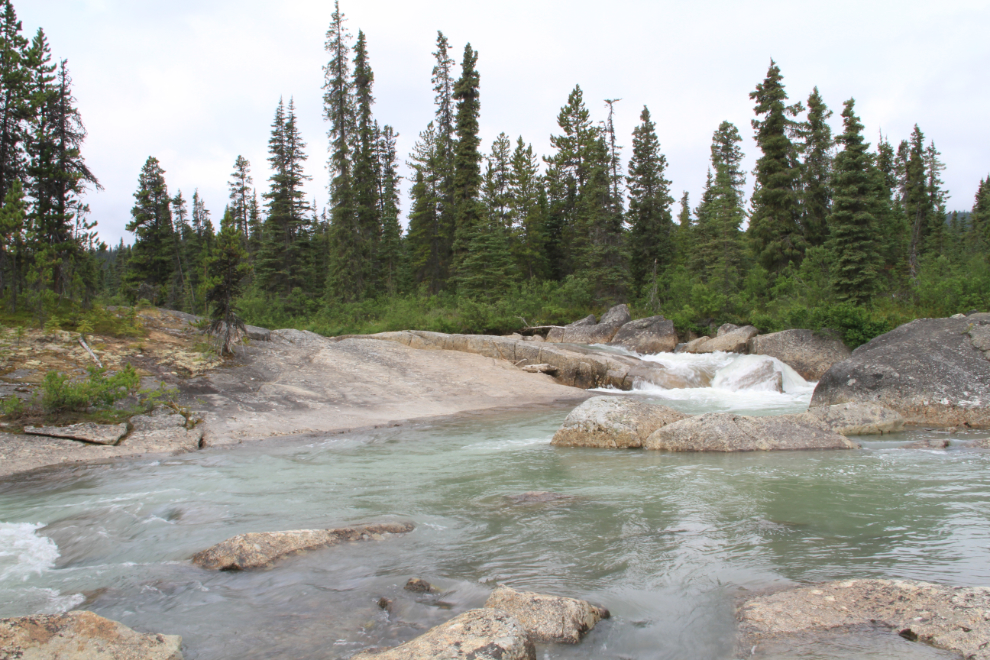
The little waterfall flowing over the polished granite is wonderful.
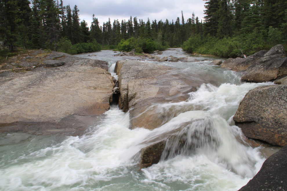
I had my hiking clothes on under my motorcycle gear, and started off to wade across the channel upstream of the waterfall, but got stopped.
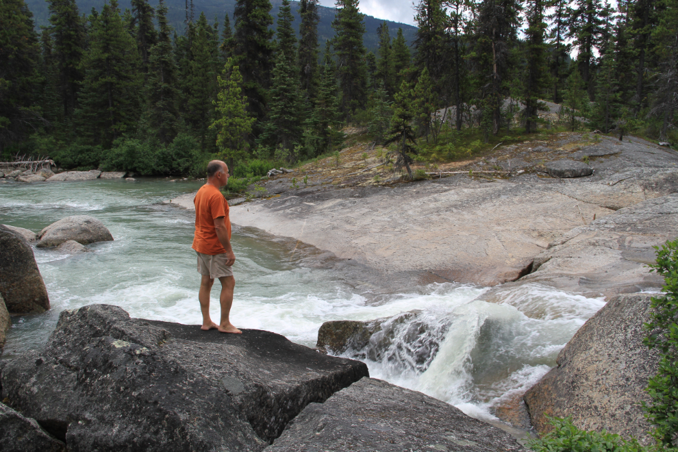
A few months ago, I bought a SPOT Satellite GPS Messenger so that Cathy would be able to keep track of me when I’m out and about. There was a time I would have scoffed at the idea, but at 62 years old, a bit of insurance of that type isn’t a bad idea. But my hike stopped when I noticed that it wasn’t in its holder! I searched the area with no luck, and now in a bad mood, headed home. It could be anywhere in the forest – I had only the vaguest idea what my route had been.
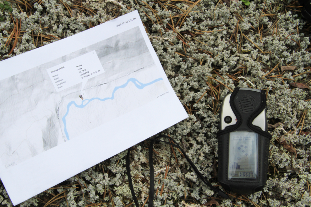
When I got home, I pulled up the SPOT monitoring page, and saw that it had gone AWOL very close to the waterfall. It then occurred to me that if I went back down with my Garmin eTrex GPS, now armed with the lat/long of SPOT and a map of its location, I could basically walk right to it! Isn’t technology wonderful? 🙂
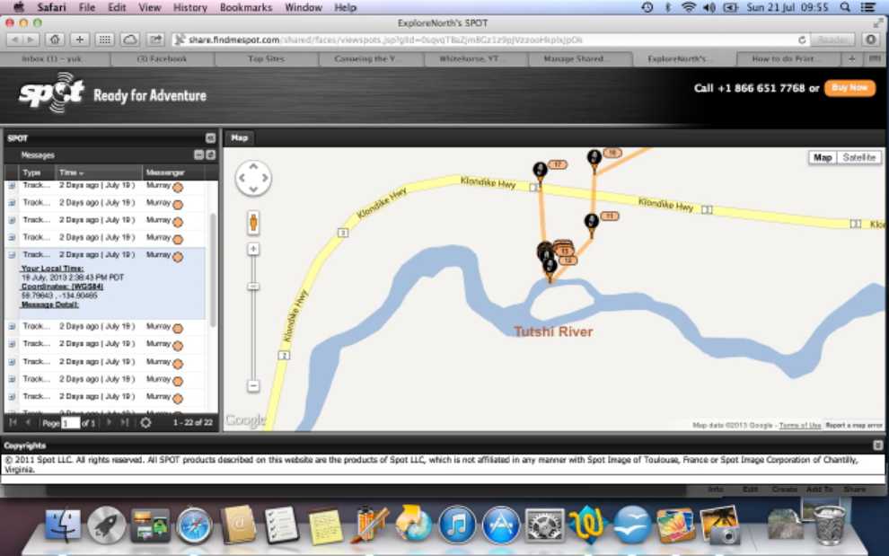
Back in the area, though, a huge problem was immediately apparent. The Garmin was giving very different coordinates for the area. I have no idea how that’s possible, but nothing I did changed the Garmin’s idea of where we were. I did another unaided search, at least knowing within a few hundred square feet where SPOT was (the bend in the channel was clear), but again was unsuccessful. sigh
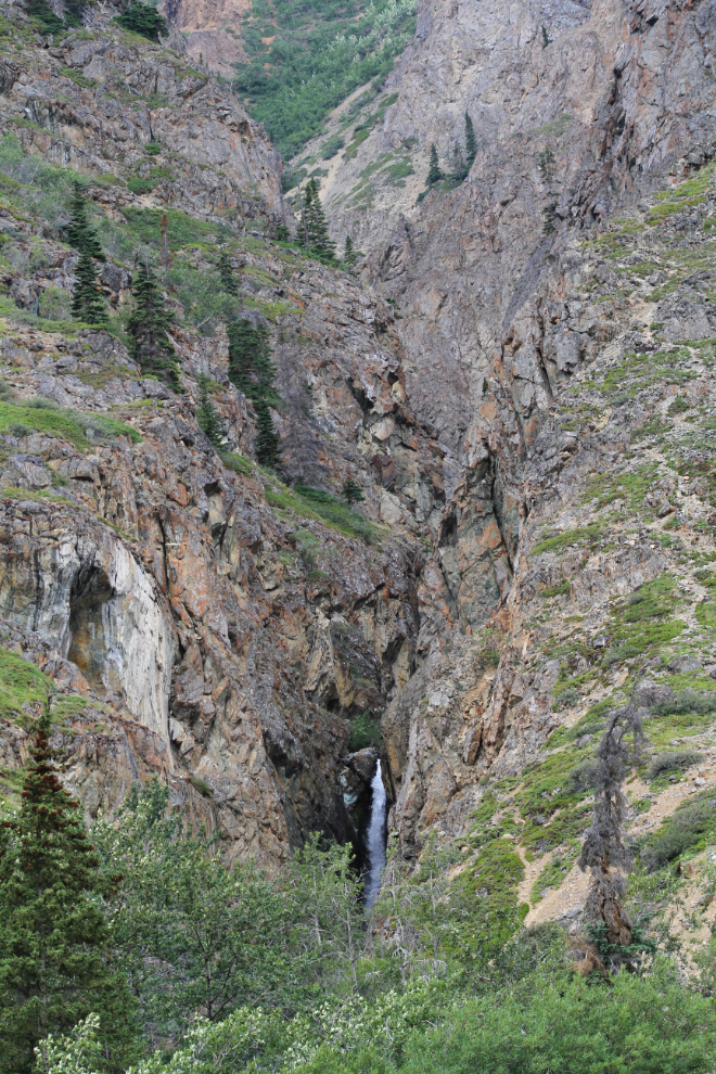
On the ride back home, I decided to get a photo of a waterfall that should show well at the current high flow level. At Pooley Creek, I climbed up a ridge above the highway, and shot up Pooley Canyon. I got some much closer shots of the waterfall too, but this broader view shows you the access route to a century-old silver mine called The Vault. I need to get back into The Vault this summer for another look at one of the most interesting mines I’ve ever found.
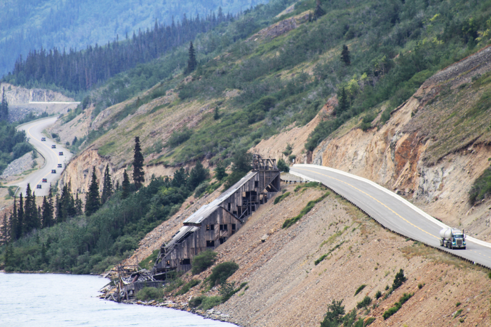
From the same spot on the ridge, this is the view of the Venus mine’s mill. The caravan of vehicles is a Jeep tour out of Skagway. I don’t see the attraction, but I figure they’re pulling in nearly a million dollars each season with those tours. Oh well…
I’m up and down now whether to go back for another look for SPOT or just buy another one. I still think that it’s a great concept, but I certainly need to find a more secure way of packing it.