Two days from Whitehorse to Dawson
I got home yesterday afternoon from 6 days in the RV, exploring along the North Klondike and Top of the World Highways, and in Dawson City. I had only very brief Internet accessibility in Dawson, so didn’t post or even write any blogs. It was a great trip and I have a lot to tell you about, though.
I got away from Whitehorse fairly late, after an interview with a couple of researchers from UBC. Since I was going through Whitehorse anyway, we used my motorhome as the meeting room, which was pretty cool – well, it would have been if not for Molly, who dropped a nasty bomb in the litter box and didn’t bury it. sigh
I had only the vaguest of plans for the week. Dawson was the general goal, and I had to be back to pick Cathy up at the airport at 11:00 pm on Sunday. Other than that, whatever caught my interest along the way would determine the actual route and timing.
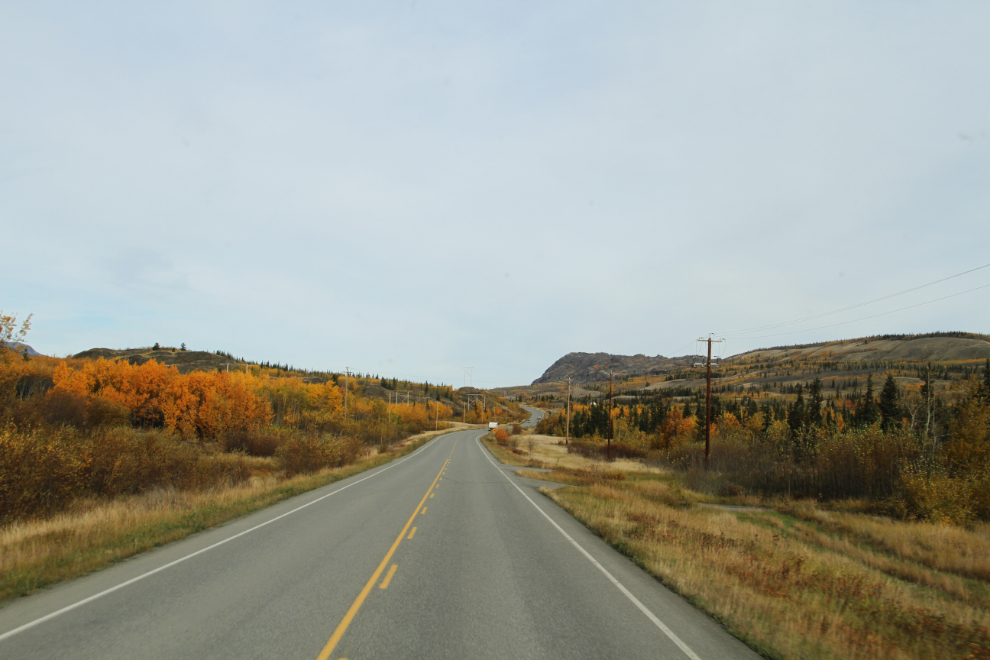
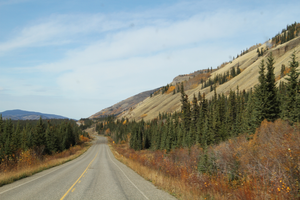
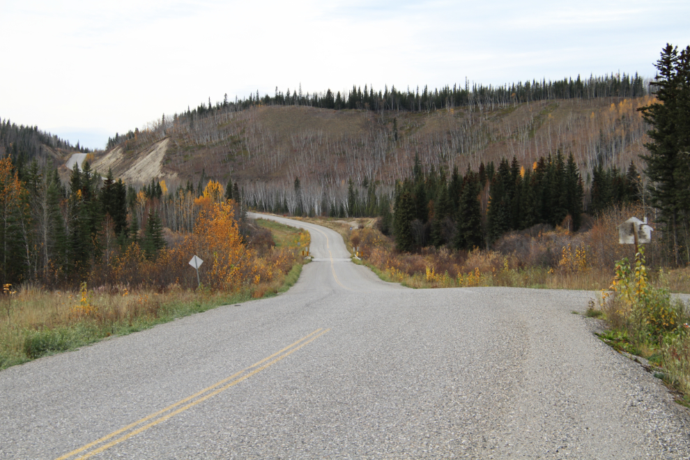
By 11:00, I was heading north on the North Klondike Highway, which most locals still call the Mayo Road. That name goes back to the 1940s when the road went to the silver mining district of Mayo, not to Dawson. At the bottom of the curve ahead in the photo is Horse Creek, which is at Km 212 (the kilometer posts mark the mileage from the ferry terminal in Skagway).
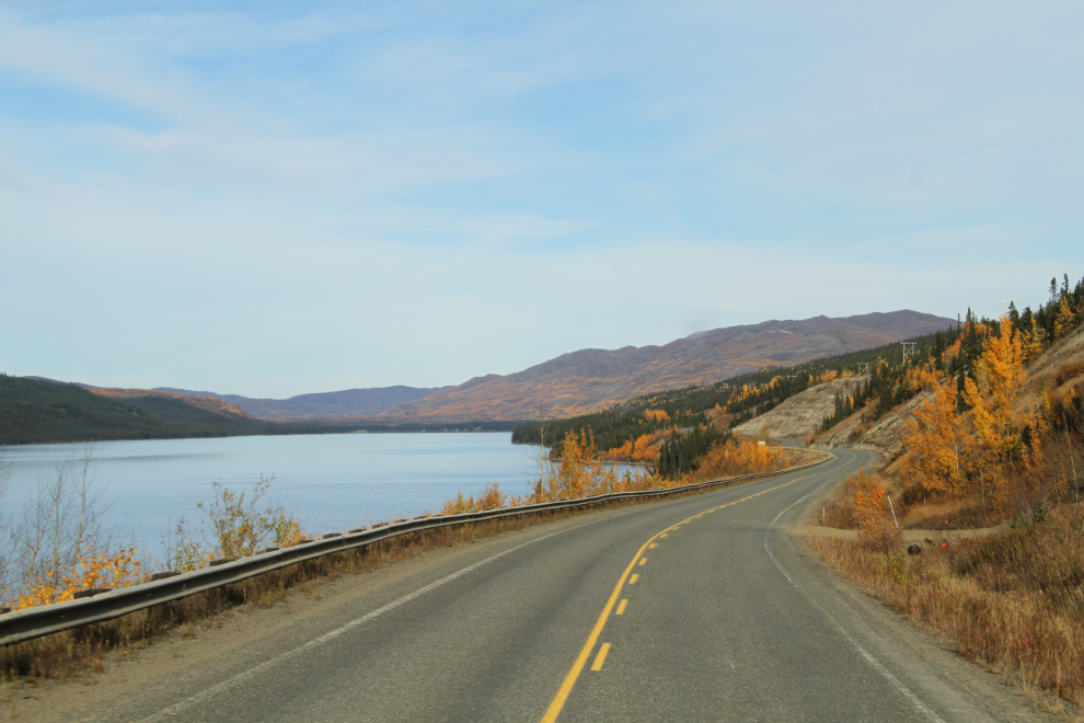
The Fall colours are almost finished now, but there were still some bright patches along Fox Lake. With summer traffic long gone, the highway was very quiet, though I did meet 3 rental RVs headed south.
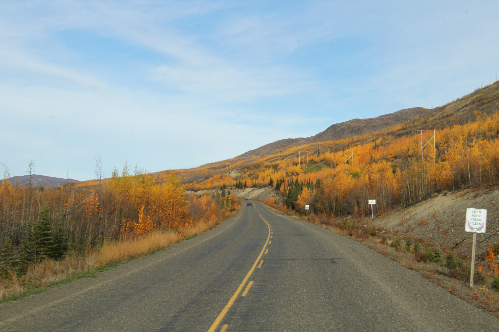
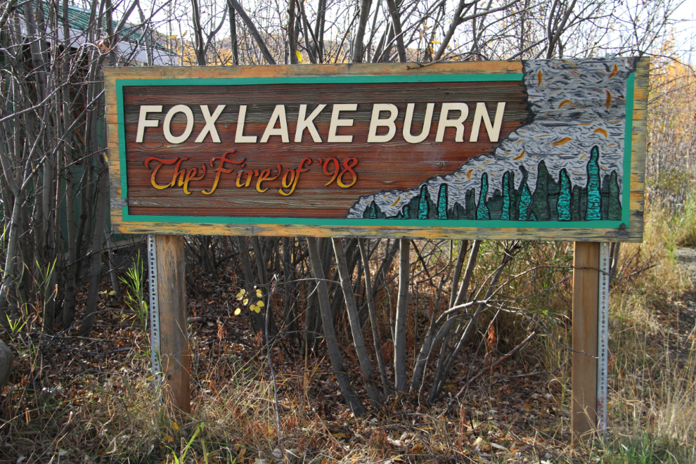
The Fox Lake Burn, too, provided some colour. A forest fire started by careless campers on the Canada Day weekend (July 1st) in 1998 burned all summer, eventually destroying 45,000 acres of the spruce/pine forest that had been here. Human-caused fires in the Yukon are generally in or near communities or along roads, so are spotted and extinguished fairly quickly – this one was an exception. The brochure “Driving the Fire Belt” describes this and other fires along the North Klondike Highway.
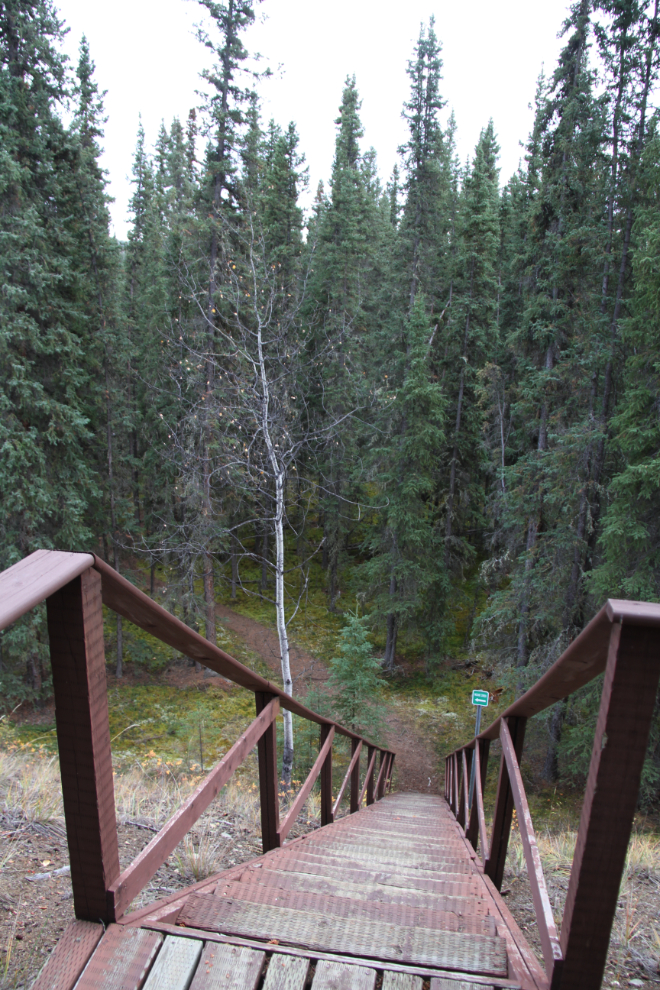
At the summit at Km 272, we stopped at the Fox Lake Burn rest area and went on the interesting 20-minute interpretive walk.
Several signs along the trail tell the story of the fire, and its short and long-term effects on the plants and creatures that live here.
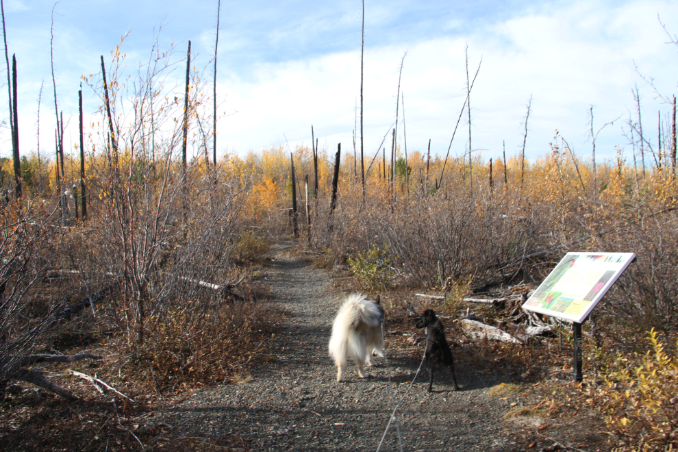
Most people don’t realize how dry the Yukon is – many south-facing slopes support only grasses and sage. That and the short growing season combine to make re-growth after a fire extremely slow.
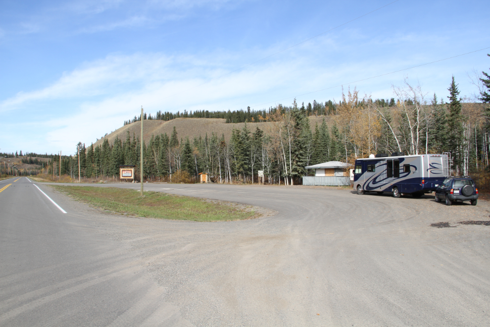
At 2:00, we reached Montague Roadhouse, a spot that I usually stop at. The timing this day was perfect, because Tucker had let me know that it was past our afternoon nap time. So we stayed in this pullout for quite a while 🙂
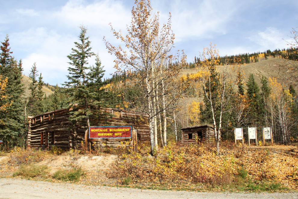
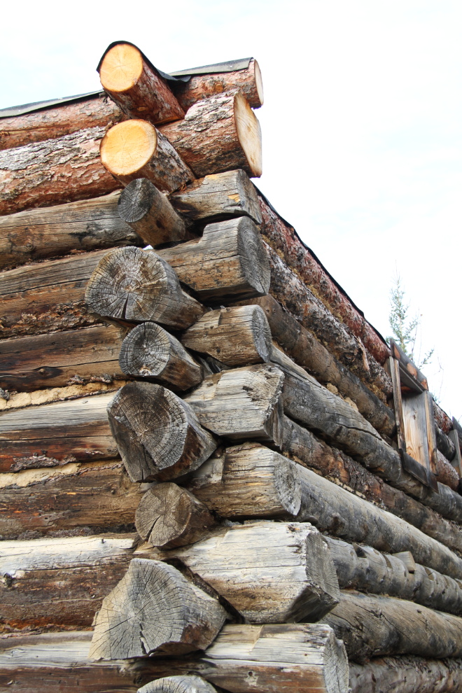
During our after-nap walk around the roadhouse property, I was both surprised and pleased to see that a couple of layers of logs have been recently added to the walls of the roadhouse. The Montague Roadhouse operated into the 1940s, and when it was closed, the roof was removed and used on the Carmacks Roadhouse, which still stands as a complete building.
About 15 km (10 mi) south of Carmacks, at 2:35.
We stopped at the Carmacks rest area for another walk. None of the fur-kids are big fans of the driving part of the RV trips. It’s the walks and other adventures that Bella and Tucker love, so I make sure that they get lots of them – and they’re good for me as well, of course. Molly seldom gets outside, but she’s happy just having her family close.
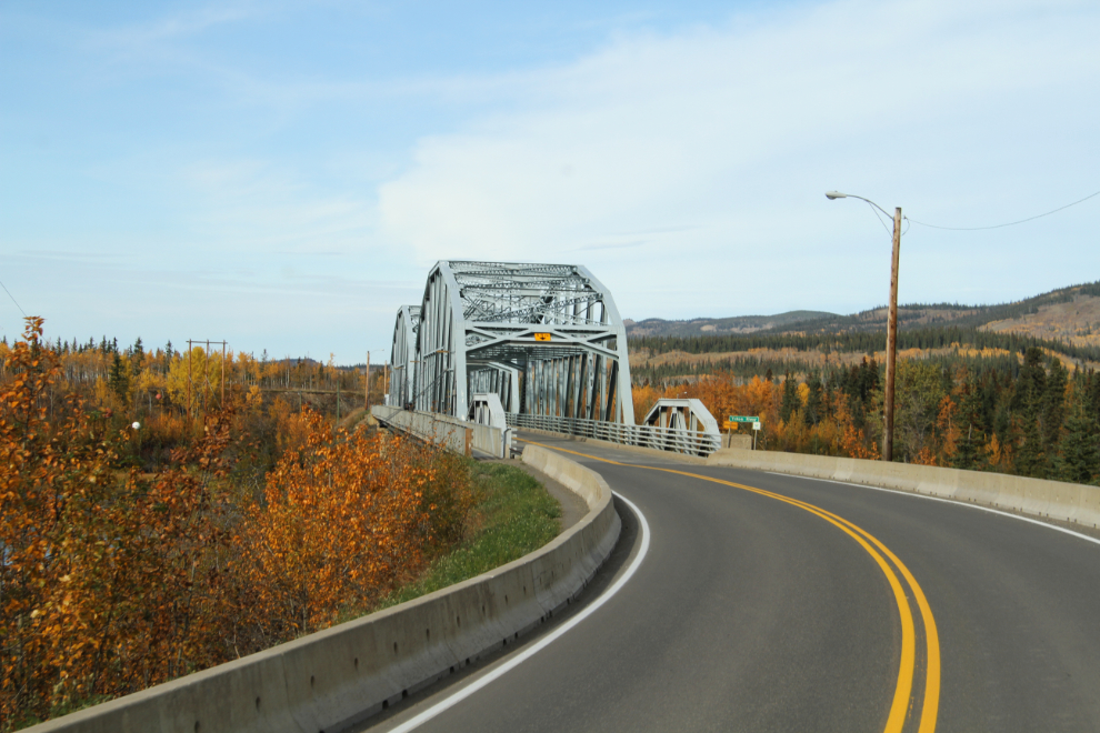
The Yukon River bridge at Carmacks. I really like the style of these old bridges, and have been sad to see almost all of them on the Alaska Highway replaced by wider but boring concrete structures.
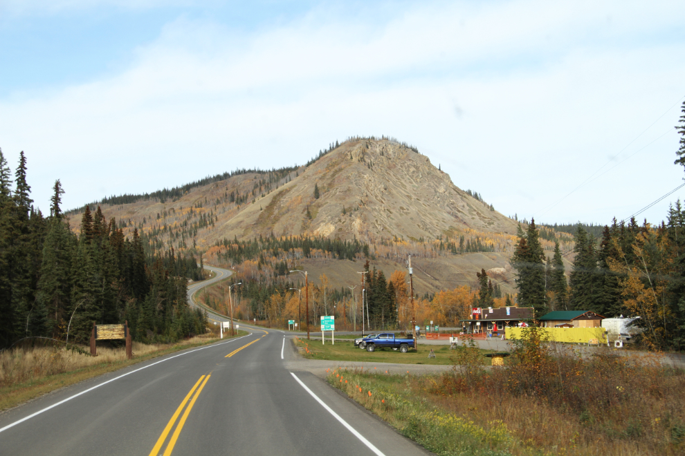
At the bottom of the hill ahead, the Campbell Highway leads east to Faro, Ross River, and Watson Lake. The hill, Tantalus Butte, was the site of a series of coal mines that started operating in the 1920s, with the last one closing in 1967.
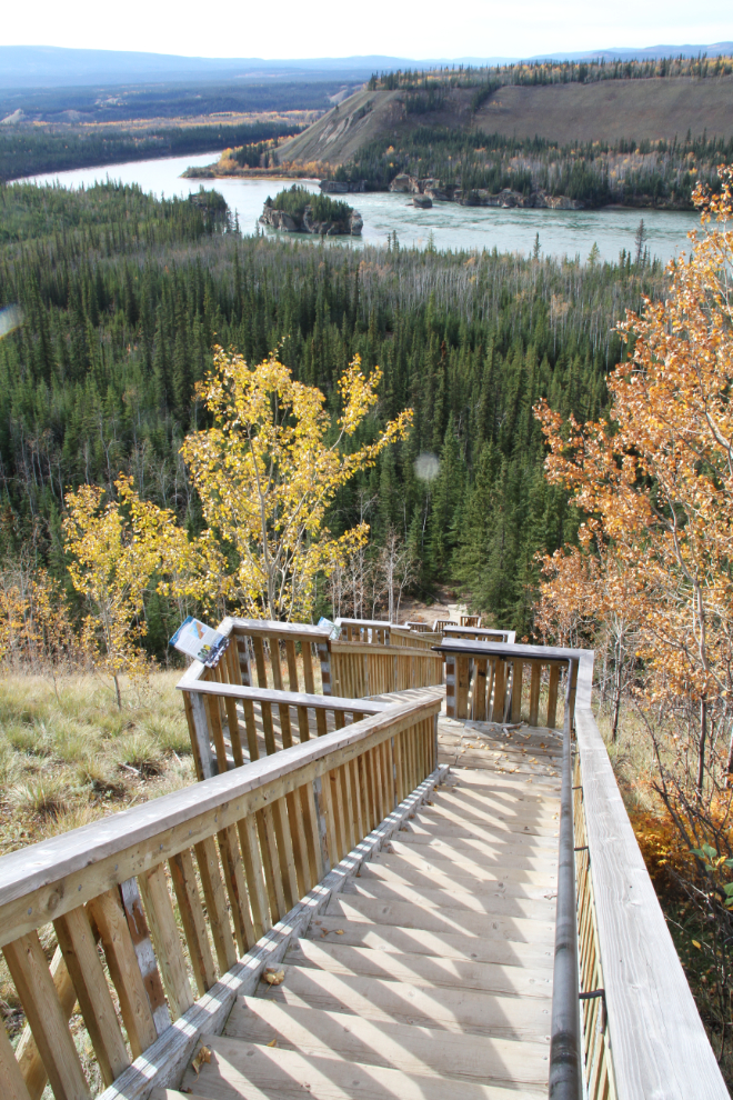
We reached the Five Finger Rapids Recreation Site, another place that I seldom drive by, at 3:15. Both the view and the history of this site keep me coming back year after year. The weather forecast had called for sunshine, but clouds were moving in, and the light was photography was poor.
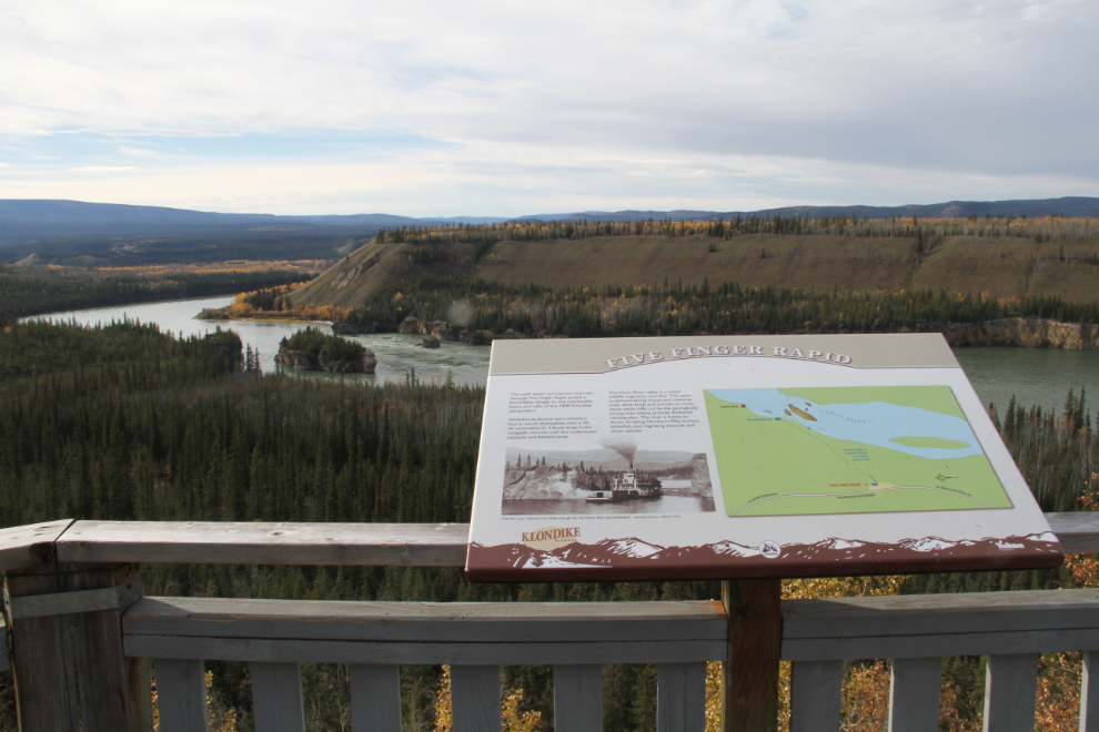
The stairs down to the rapids overlook (167 steps?) are great exercise, but with the poor light, I decided to delay that until Sunday, on the drive home.
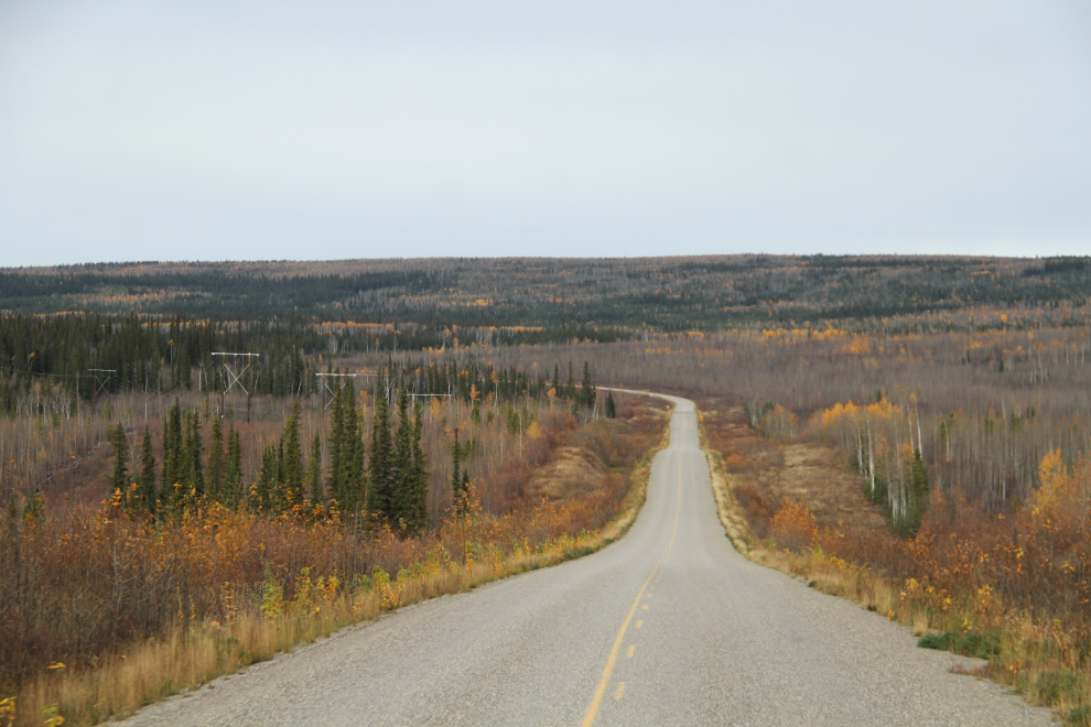
Almost all the leaves had fallen from the trees by the time we reached Km 470, north of Pelly Crossing, at 4:20.
At 5:15, it was about time to stop for the day. It would have also been a great time to be lazy and have a cafe meal, but my long-time friend Maja had had a busy season at Moose Creek Lodge, and had closed for the season a couple of days earlier. I’ll be seeing her again when she opens the lodge for the Yukon Quest sled dog race, as I’ll be guiding another tour following the 2017 race.
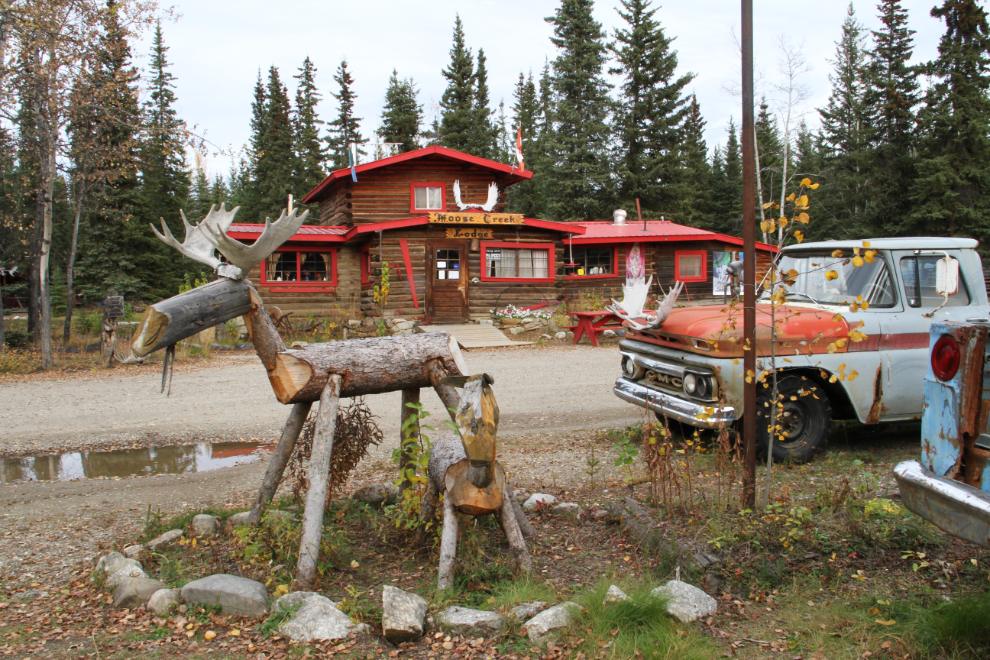
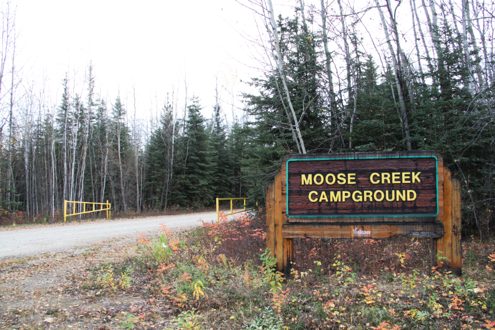
Looking north from Moose Creek Lodge, the highway crosses Moose Creek just ahead, and just past that is Moose Creek Campground. While the campground closed on September 15th, I hoped that it would be one of the ones that didn’t lock the gate.
The gate at the campground was indeed open 🙂
By 5:30 we were set up in site #20, a huge pull-through at the back end of the campground. I don’t recall ever hearing anybody mention Moose Creek Campground, but it’s very nice.
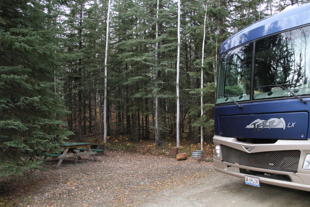
The road is wide and the sites are very large so it’s big-rig friendly, the facilities are all in excellent condition, and it’s quite far off the highway to keep noise down.
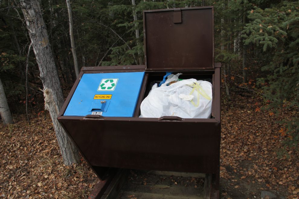
I used to wonder why some – perhaps most – of the parks close and lock the gates off-season. At Moose Creek, I saw why. Garbage bins full of household trash, signs on the firewood sheds stating “Firewood Protected by Theft Proof Coded Flakes” (whatever that means exactly), and picnic tables chained to the ground. So our parks have to be protected from theft and vandalism by locals – how bloody sad is that? Strangely, as if to confirm what I was writing at 05:30 in the morning, a pickup truck drove past my site. There’s no possible good reason for a pickup with no camper on it to be at the back end of the campground almost 3 hours before sunrise.
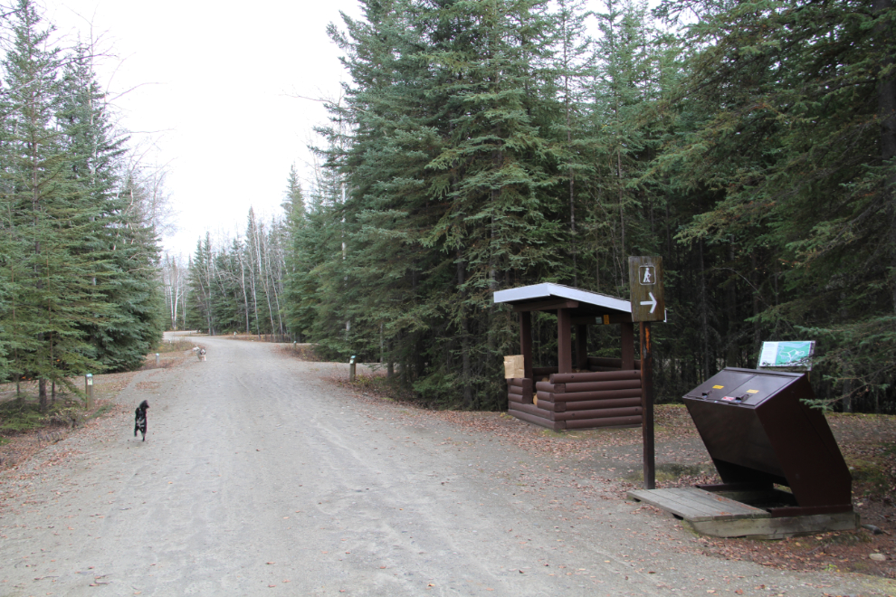
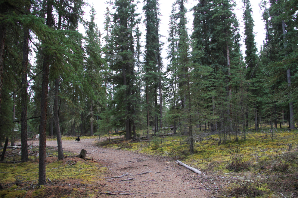
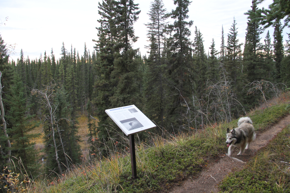
After getting the kids dinner, Bella and Tucker and I went out to explore the campground. We soon found a network of trails – one main interpretive trail along the bench above Moose Creek, and some side trails.
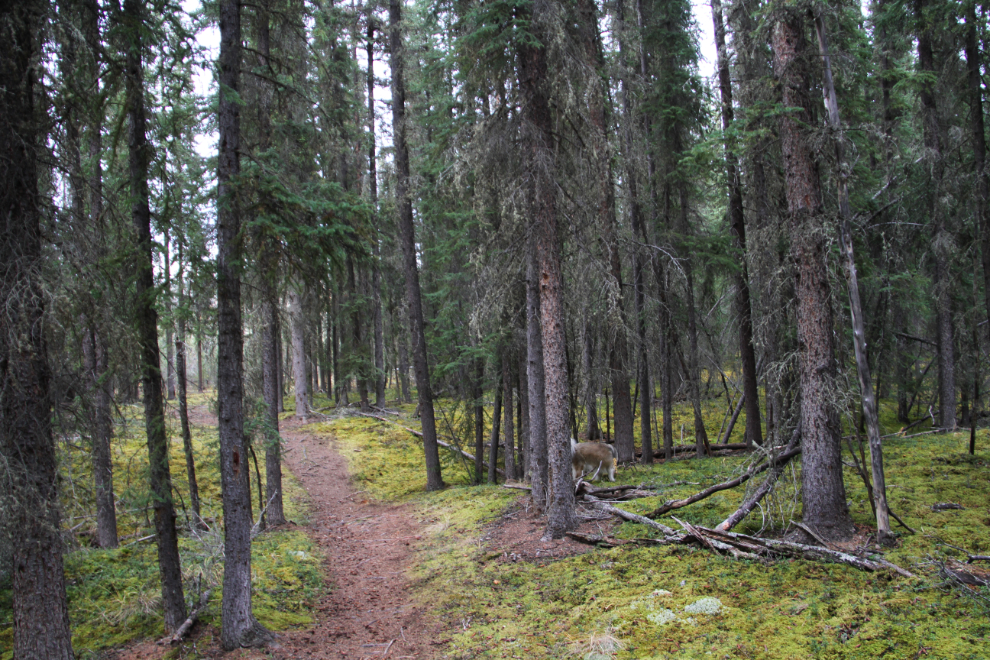
The trails vary from a very old road as seen in this photo – a wood-cutting road is my guess – to narrow paths.
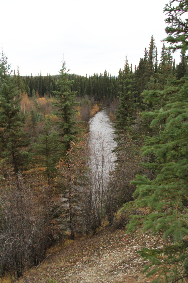
These stairs lead down to Moose Creek and on to the Stewart River, about a half-hour walk.
There are several interpretive signs about the ecosystem and the birds and animals who live here. I was surprised by how steep the slope is, and how far down the creek is.
The second-growth spruce forest is lovely, with a thick carpet of moss. I expect that the original forest was logged to power the sternwheelers that ran the Stewart River.
It was a peaceful night as usual, with all the kids snuggled up with me on the bed. The established order in the motorhome, which is different than the one at home, is that Tucker sleeps half on me, often on my shoulder, Bella takes the other pillow, and Molly is tucked up to one of my legs.
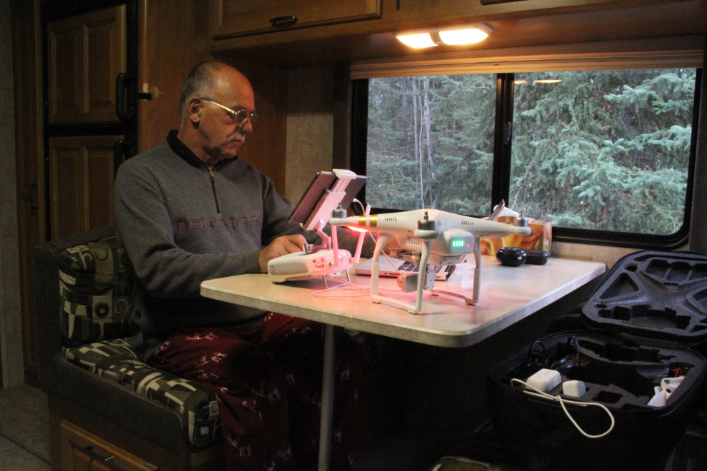
On Wednesday morning, while I waited for sunrise, I read through the manual for my drone again, as I planned to do some flying and am still not very comfortable with its abilities and limitations.
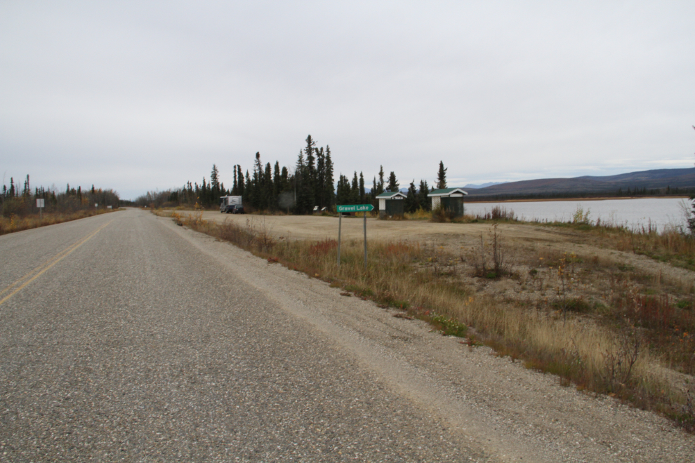
I was in no hurry to get on the road, so it was 09:30 by the time we reached Gravel Lake rest area, only 62 km further north.
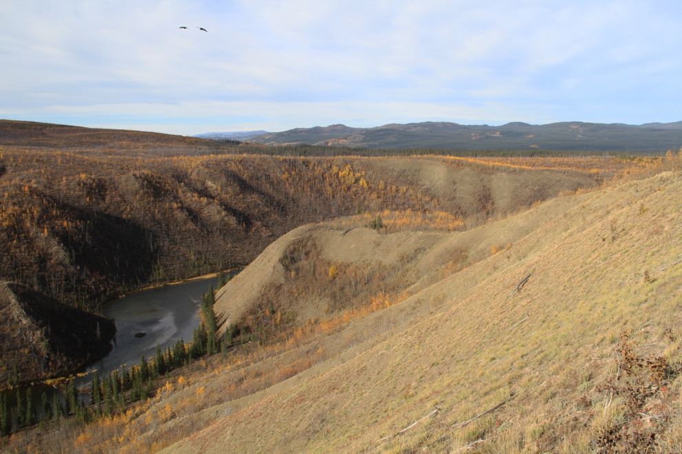
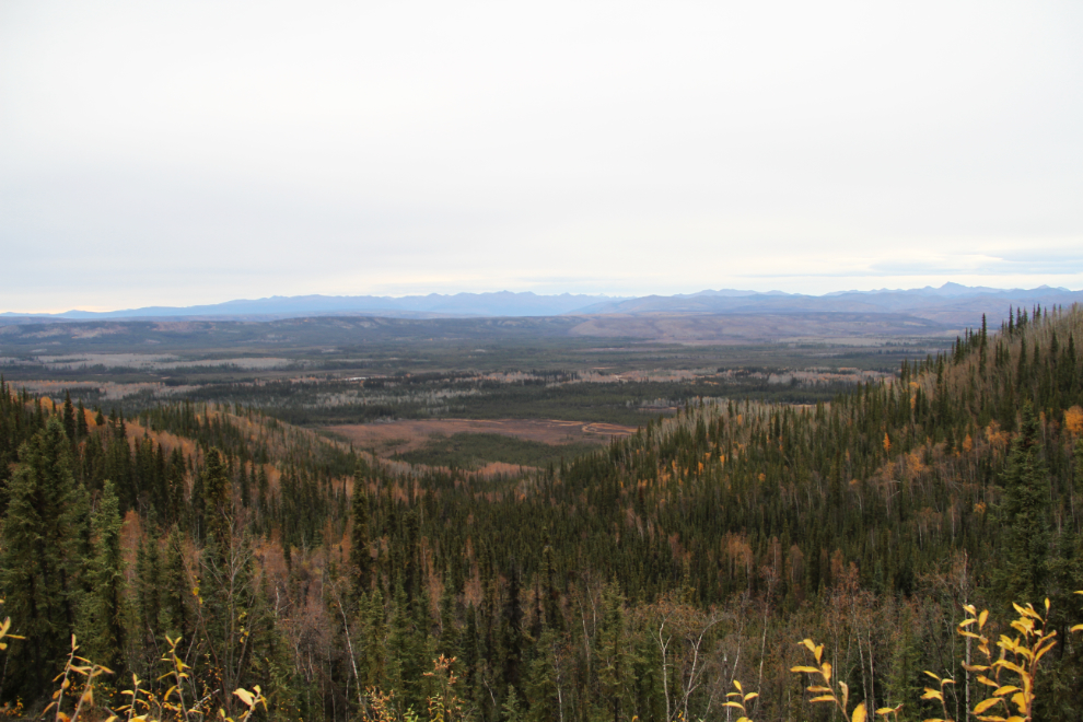
The Tintina Trench viewpoint and rest area at Km 655.2 (31.2 km from Gravel Lake) at 10:20.
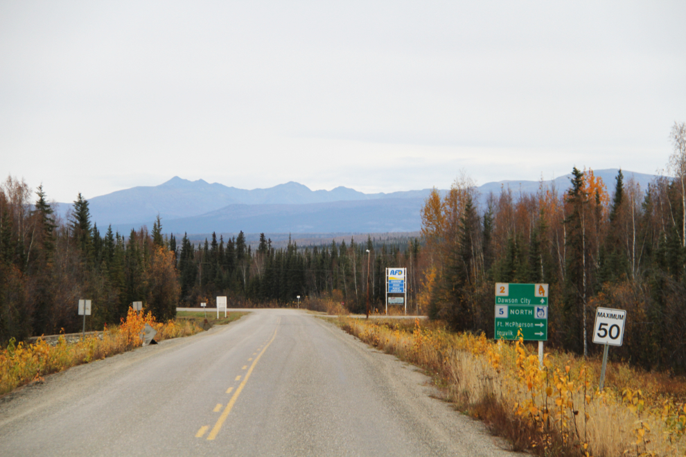
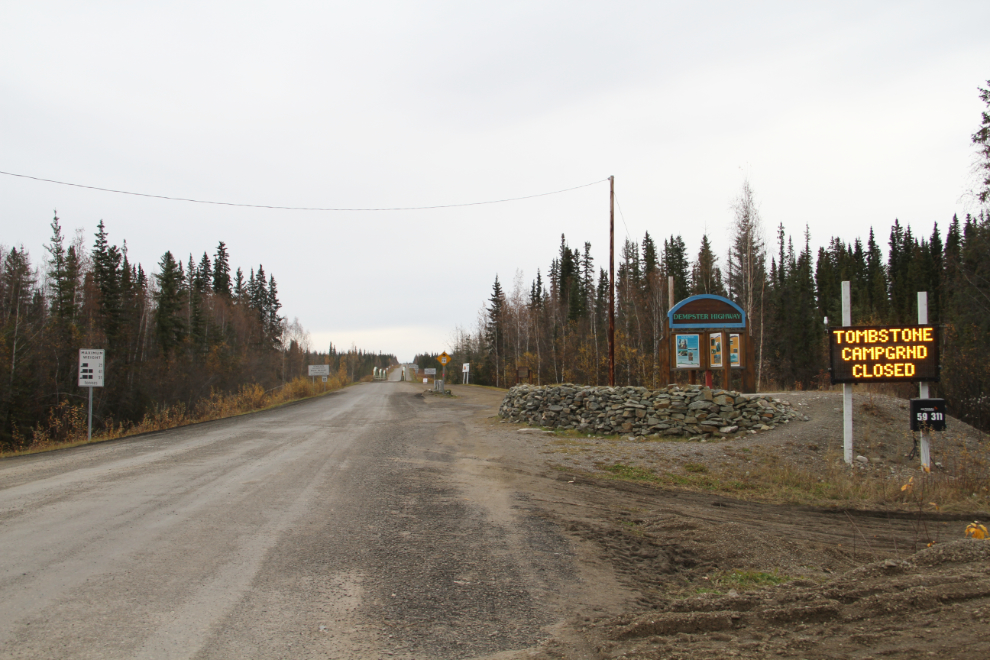
At 10:40, I reached the Dempster Highway junction and had to decide whether some of the Dempster Highway was on the itinerary or not. The road reports a couple of days before had been quite bad due to a lot of rain. I’d think about it while fueling up.
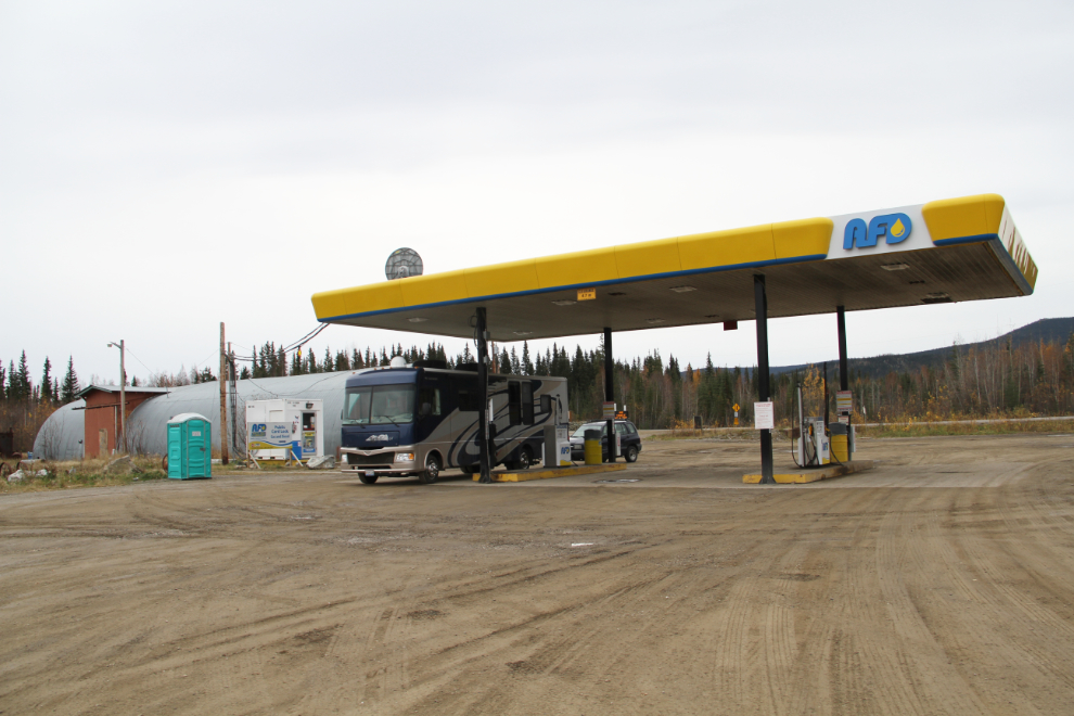
When the AFD (Alberta Fuel Distributors) cardlock opened at the former location of the Klondike River Lodge, it was dramatically the cheapest fuel in the Dawson area. I don’t know whether it still is, but filled up at $1.239 anyway. Before heading south, I’d fill at the North 60 commercial cardlock and could see who’s the cheapest – at North 60, you don’t know what the price is until the invoice arrives in the mail.
The flashing sign at Mile 0 pointed out structural problems with the one-lane bridge over the Klondike River ahead, and the fact that the campground at Tombstone was closed.
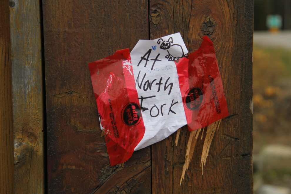
The highway sign had other important information as well. If it had been dated, I might have gone for a look 🙂
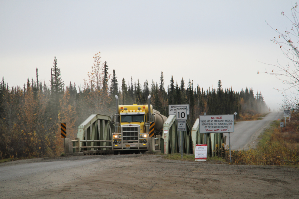
An AFD fuel tanker on the Klondike River bridge. They’ve sure done well since moving north.
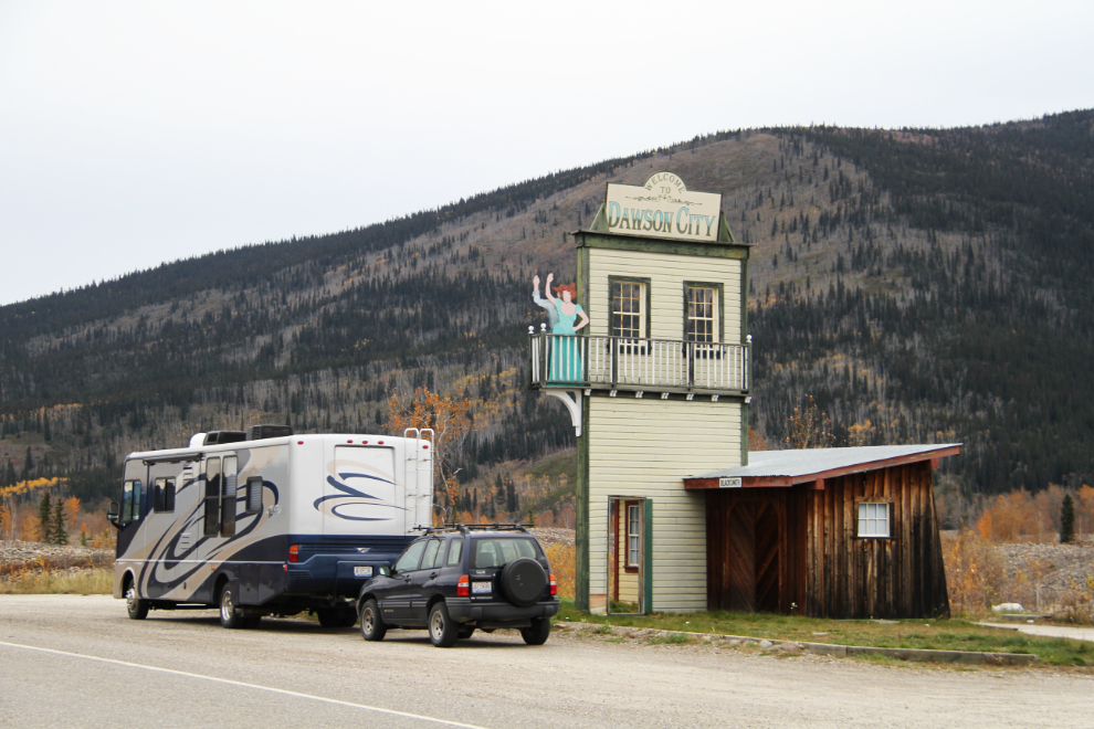
I decided against the Dempster. There were too many other sites to visit, including some I’d not been to yet. At 11:45, I stopped at the unique “Welcome to Dawson” sign.