Two days at Nakusp Hot Springs – hiking and relaxing
At about 11:30 on Day 21 of the trip – Wednesday, May 16th – Cathy and I left New Denver and started the short 61-km drive to Nakusp Hot Springs, where I had made a campground reservation.
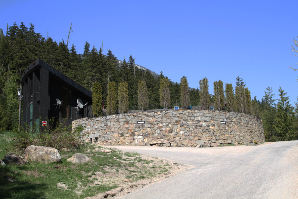
This is the first look visitors get of the Nakusp Hot Springs structure – a high rock wall with a narrow building behind it.
When I went in to register, it was for the one night that I had reserved. As soon as I looked out from the office to the pool area, though, I said “make that two nights”. It’s gorgeous! The RV sites, all with electricity, are only $17.50 per night plus GST off-season ($35.00 regularly). With 1 swim the day of arrival and a full day pass the next day, the pool passes were $15.00 for me and $19.05 for the youngster 🙂
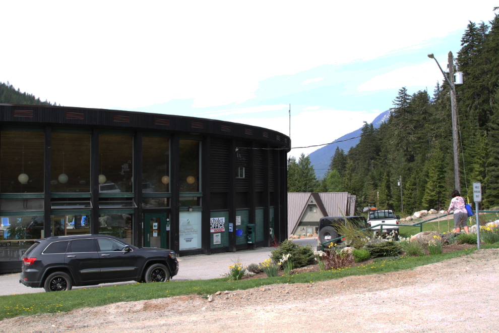
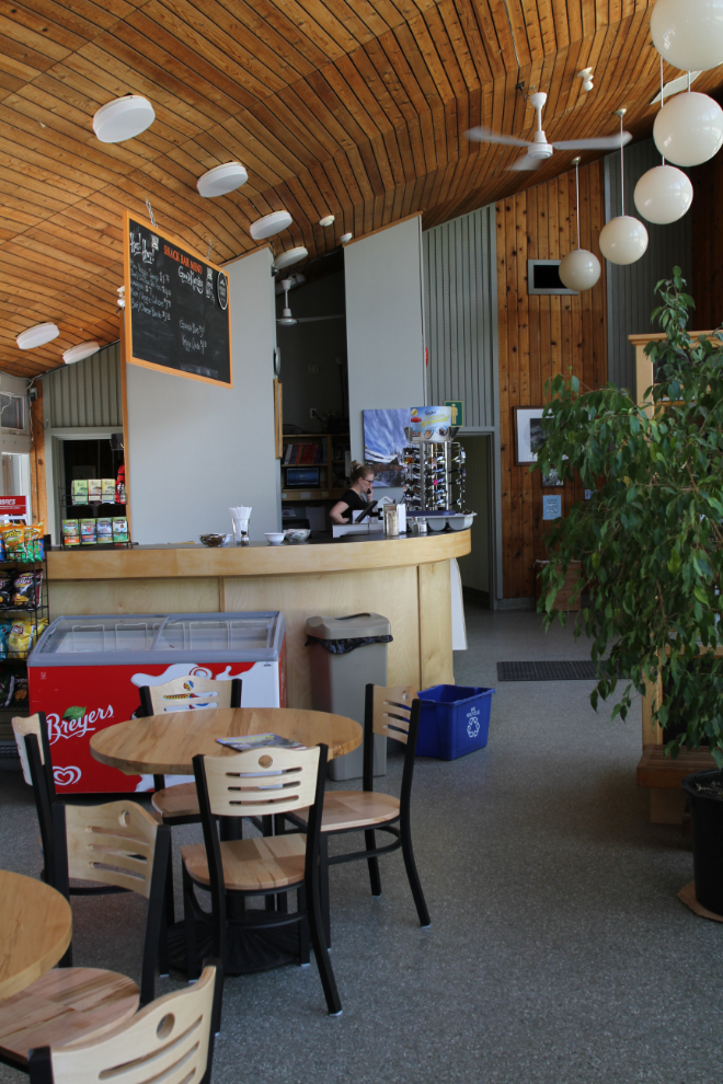
The office area itself is very nice as well, with a small seating area, and drinks and ice cream treats available.
The next step was to drive back down to the campground to get set up. The RV area is very nice, with 32 reasonably spacious sites.
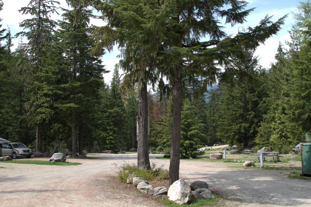
Each of the camp sites has a fire ring and picnic table. We were soon set up in #12, which is 40 feet long.
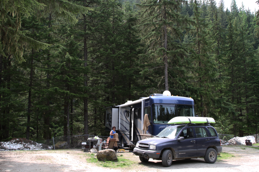
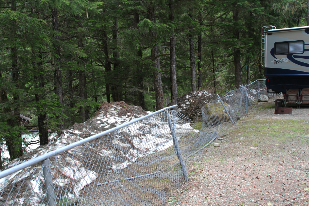
The campground attendant told us that there was 17 feet of snow here this past winter, and there is still lots around the edges of the roads and campground. Kuskanax Creek right below our site was roaring – from the looks of the vegetation and rocks along it, the creek has never been higher.
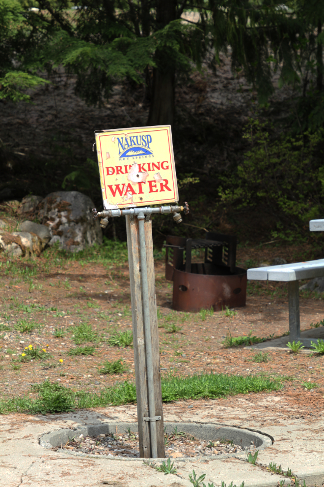
There are several drinking water taps around the RV campground, situated so it would be easy to fill the motorhome fresh-water tank if it was needed.
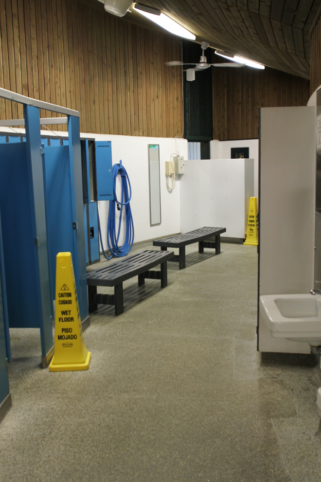
Time for a warm soak. The changing and shower rooms are spacious and spotlessly clean.
This is what prompted me to immediately change my booking from one to two nights – a pair of pools with beautiful mountain views. The hot springs here have a very high flow rate – some 200,000 litres of water enters the pools each day, untreated except for filtering.
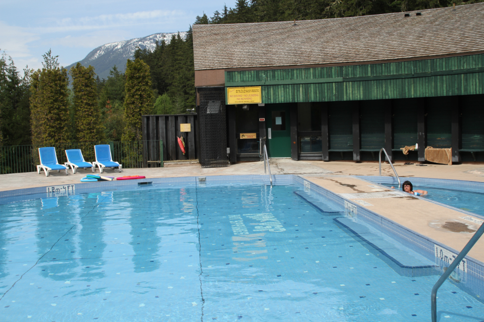
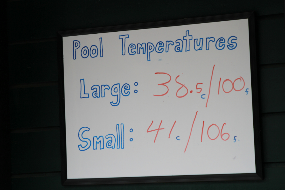
We started off in the smaller of the pools, which has water at 106°F (41°C). We keep our hot tub at home set to 104F, so this is a temperature that we’re familiar with and enjoy. It’s not good for long soaks, though – there’s a sign saying to limit your soak to 5 minutes, but we were there for about 15-20 minutes before moving to the large pool which has water at 100°F (38.5°C). The sign says to limit your soak there to 20 minutes, but my first comment was that it was lukewarm and not even worth going into. We stayed there for about an hour each time, though. There is just a faint sulphurous smell to the water.
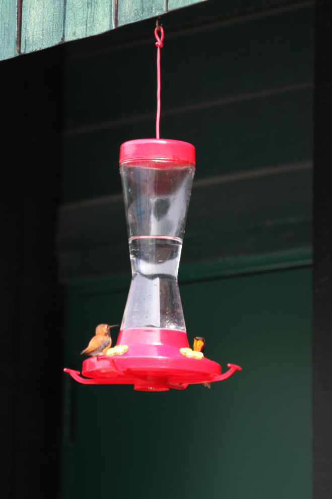
Hummingbirds add a touch of interest to the pool area thanks to two feeders hanging along the edge.
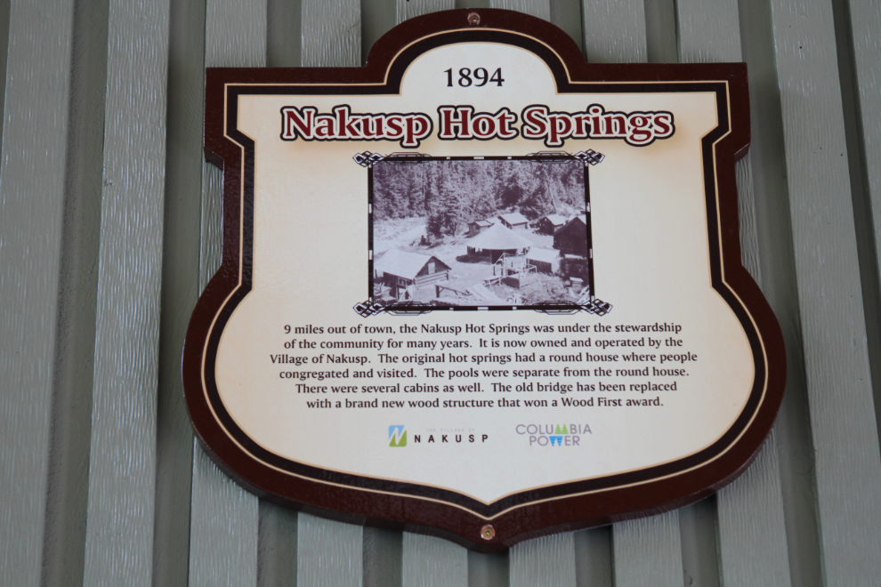
Nakusp Hot Springs has a long history, and I like the fact that the city runs it. The plaque seen in the next photo is hanging in the office area.
I had asked about a painting of a beautiful bridge, and was told that it was 5 minutes down a trail I hadn’t yet noticed. So that trail was next of my list of things to do. It’s signed as the Hot Springs Trail, leading 8.5 km to a road at the north edge of Nakusp.
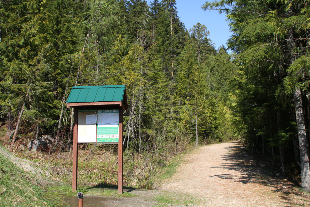
The trail starts off as an old road – the road used to bring in the equipment to build the very impressive bridge, I expect. I tried to find the vantage point that the painting used, but wouldn’t go where it appeared to be without climbing ropes.
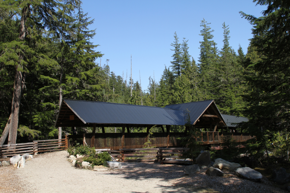
Steel beams support the wooden covering on the bridge, which has a pair of seating areas jutting out on each side, looking over Kuskanax Creek to the mountains.
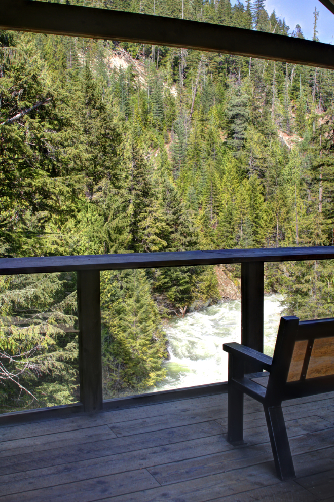
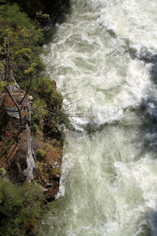
The view straight down to raging Kuskanax Creek.
The other site noted on the trail sign that caught my interest was the Hot Springs Source, so I continued on for another 15 minutes past the bridge. The source of the hot water is obvious, but my mind wasn’t able to piece together the various concrete tanks and pools, and rock walls into the early hot springs development shown on the Nakusp Hot Springs’ history page.
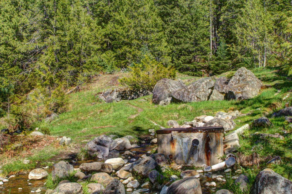
This is the largest of the concrete pools, and it’s above the obvious hot water source, so there must be (or used to be) another outlet higher up.
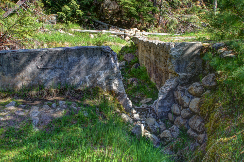
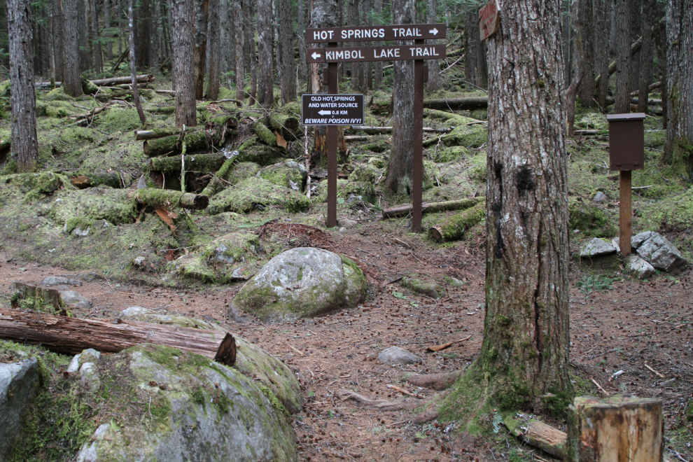
At the upper end of the hot springs source clearing, a sign notes the start of the Kimbol Lake Trail. It also says that the lake is 3.5 km, and I wasn’t ready for that, so returned to the campground.
We had a wonderful evening in the campground, with the thunder of Kuskanax Creek as the background music.
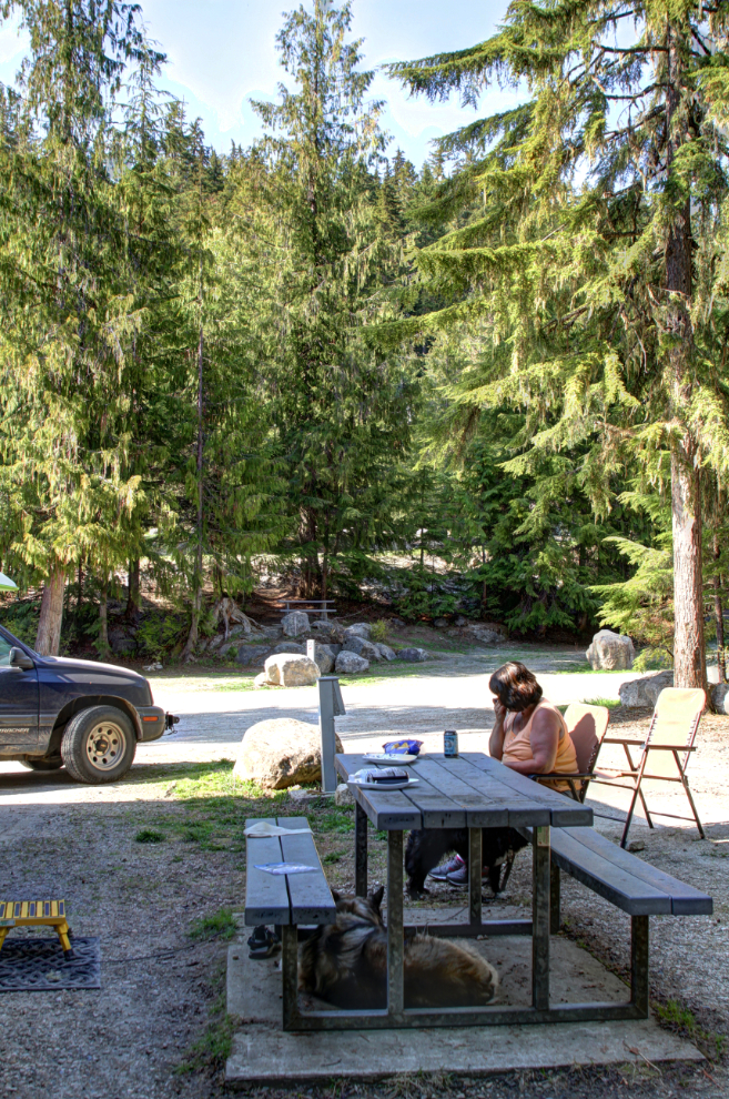
There were only about 10 RVs in the campground that night, and one couple was tenting in the tent area about the RV sites.
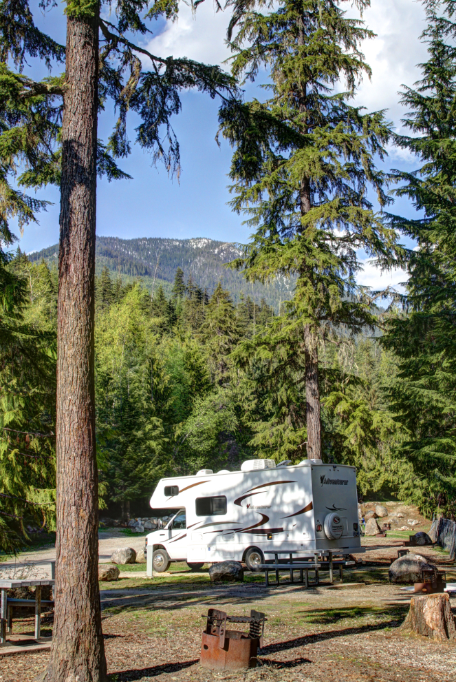
We began the next day with an hour-and-a-half soak in the hot pools. We had a leisurely lunch and then, properly equipped, I headed out on what I told Cathy would be about a 3-hour hike to Kimbol Lake. The trail is noted as a Moderate hike – 8 km, 5 hours return, with a 400-meter elevation gain.
The Hot Springs Trail sign notes Kuskanax Falls, but there is no sign pointing the way. I guessed that a faint trail just past the bridge might be it, and was correct.
Getting to Kuskanax Falls at an extremely high spring flow was quite an experience. Between spray and trees, I couldn’t get a good view, but the power of the place was incredible, as this video shows.
The day was cloudy and thunderstorms were moving in fast, but just before 2:00 pm, I was back on the main trail again.
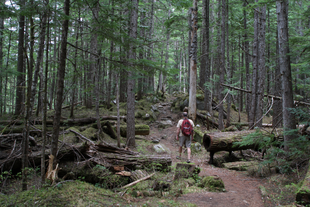
Past the bridge, it’s a rough but lovely trail, reminding me a lot of some of the lower sections of the Chilkoot Trail, running through a second-growth forest of primarily cedar and Douglas fir.
On the cedar stump to the right of the small waterfall in the next photo, you can see the cut made to insert a springboard when the tree was felled many decades ago.
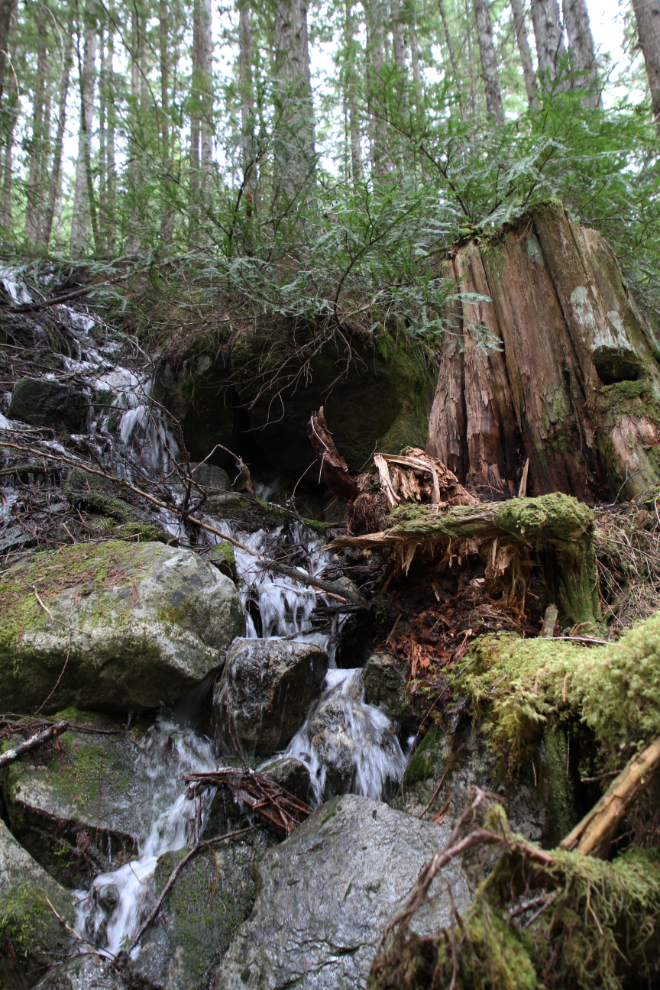
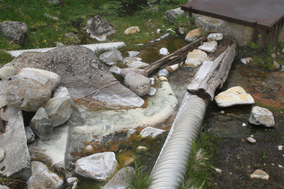
Back at the hot springs source. The actual source is to the lower left in the next photo, then it flows into various pipes and the concrete tank.
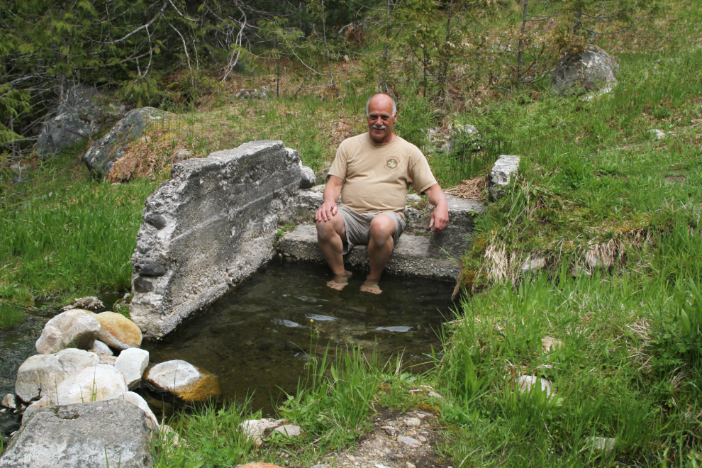
I put my feet in the water in the small concrete pool, which is only a few inches deep. Wow, is it hot!!! I can’t find the figure, but am guessing it to be about 116-118°F.
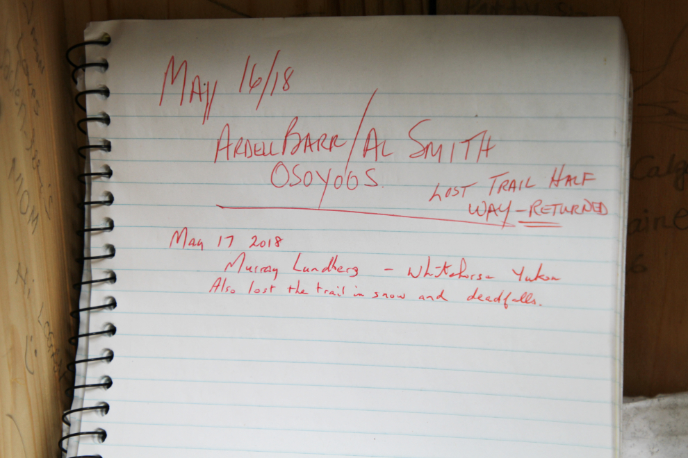
Starting up the Kimbol Lake Trail, I stopped and signed in on the trail register. I noticed that a couple from Osoyoos had tried to trail but lost it the day before. I was curious as to why they lost it – I’d find out soon enough.
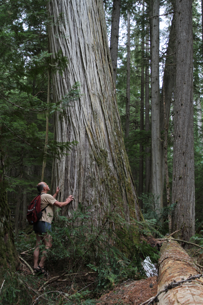
I was soon into a magnificent old-growth forest. A large thunderstorm was close, and although I couldn’t see it through the forest canopy, I could sure hear it. I expected to be getting wet at any time, but any rain that fell never reached the ground.
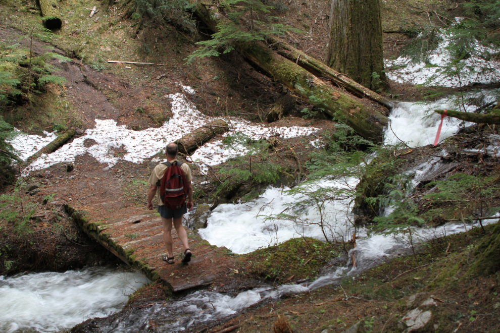
The trail is maintained by the Nakusp & Area Community Trails Society, and they do a great job. This would be a tough crossing without that bridge.
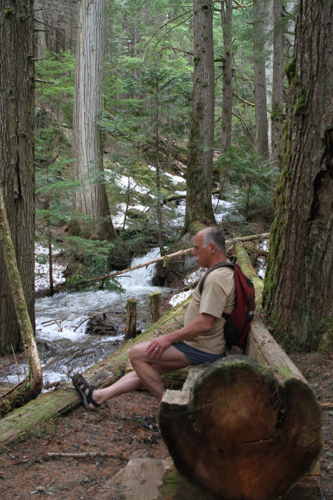
Above the bridge seen in the previous photo, trail crews have built this bench from a huge log.
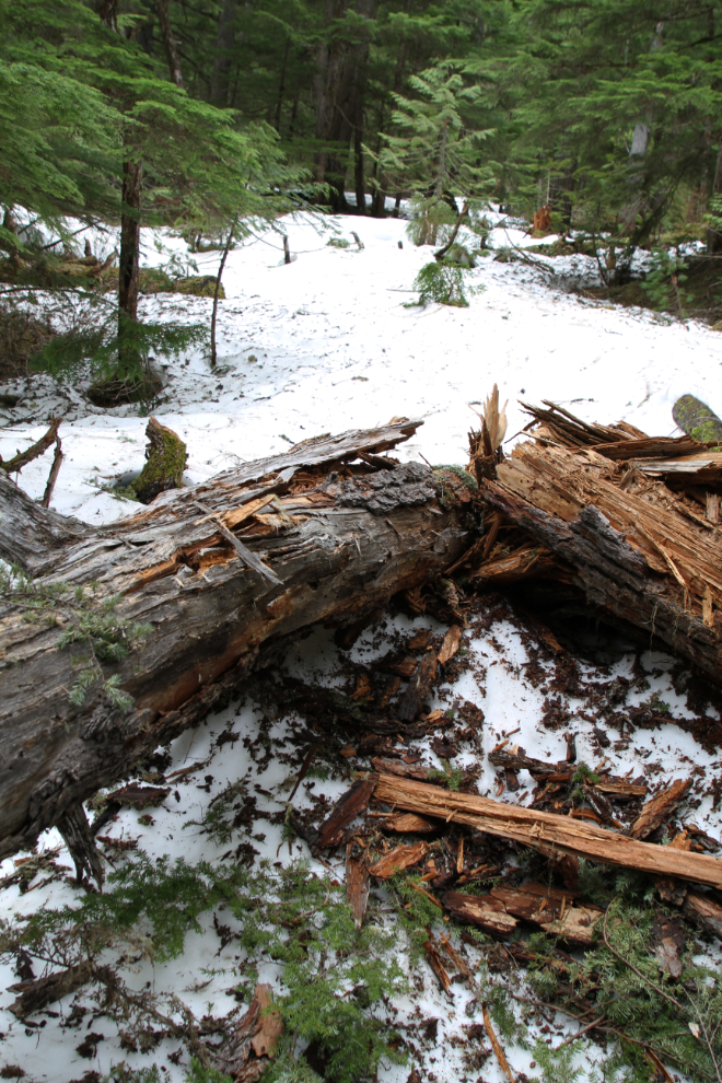
Past the creek crossing, a fairly steep climb took me into more and more snow, and at 2:45, the trail ended. Beyond this pair of large deadfalls, the snow coverage was 100% and the was no way to follow the trail. Still very pleased with the experience, I turned back.
I added a note to my trail log entry that it was snow and deadfalls that ended my hike.
We had another relaxing evening – another long soak, meeting more interesting people, walking the dogs through the campground… As has been the case so often on this trip, we didn’t want to leave. Nakusp Hot Springs has such a wonderful vibe. But, Kaslo called, and at about 11:00 on Friday, we broke camp and headed out.
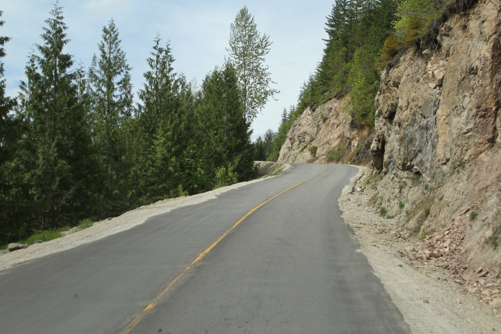
I asked Cathy to take a few photos of the road on the way out. There was a long section of one-lane road where a corner was being blasted away.
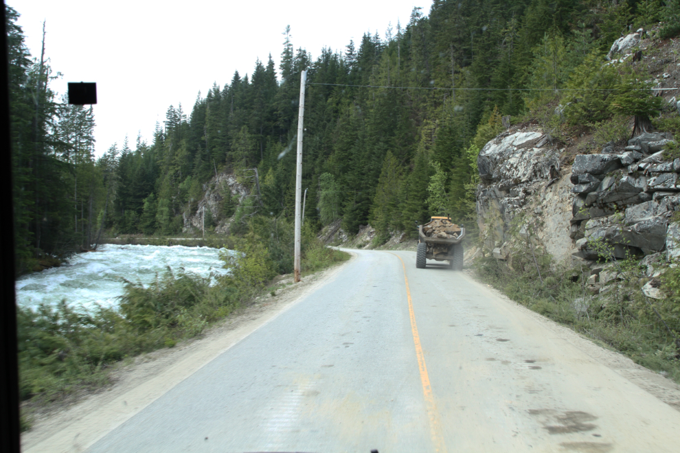
It’s not a road to hurry on – the hot springs is 14 km from the highway, and most of the road looks like the section in the next photo.
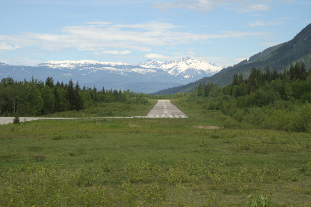
One final photo, of the Nakusp Airport.
