To Twillingate, and hiking to Batrix Island
Tuesday, June 16th, Day 19 of our trip and the 12th day in Newfoundland, was a long day of driving due to our Most Excellent detour to Gros Morne yesterday. We had 421 km to cover.
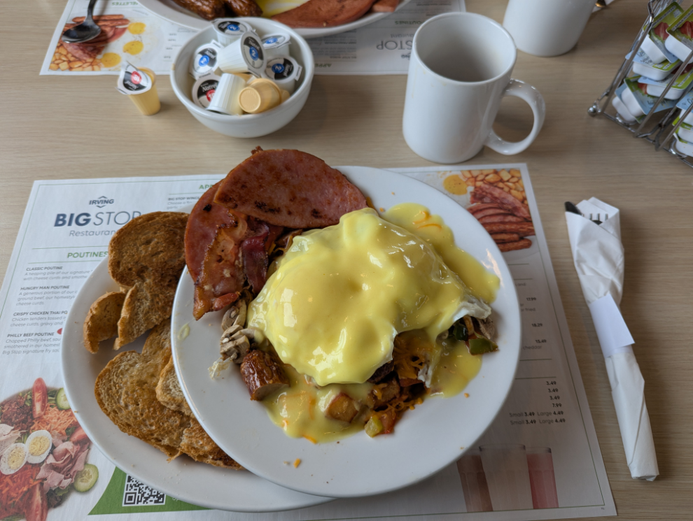
We got off to an early start, mostly because we not only had an unserviced site at Water’s Edge, the use of generators is only allowed between 1 and 3:30pm so we couldn’t even make coffee. By 9:00 am we were at the Big Stop Restaurant at the large Irving truck stop in Deer Lake, getting our bodies fuelled up for the day. This was the best-value meal I’ve had in a long time. It’s clear why they review so well.
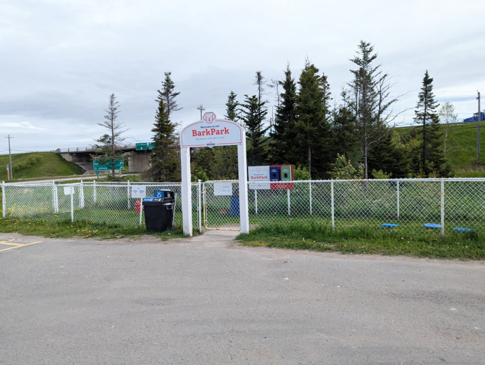
There was even a well-equipped “Bark Park” right in front of the spot where I parked the RV. Thumbs up, Irving!
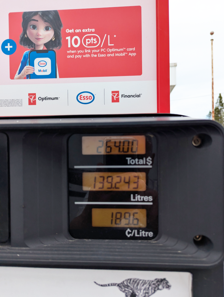
I had spotted an easy-to-access Esso station at Campbelltown and fuelled up there. This was our 4th fill, and I think by a small margin the most expensive both in terms of price per liter and total bill.
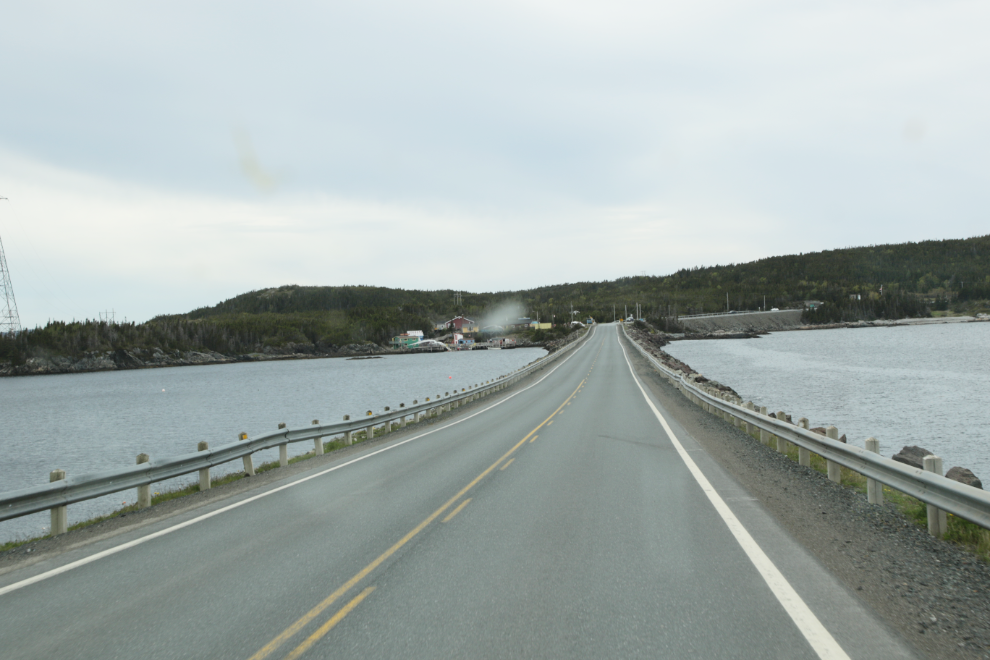
Although it’s very pleasant country, Cathy only shot one photo out the window on the drive to Twillingate until we reached a causeway just south of our destination. The causeway itself was photo-worthy, as was a massive iceberg and a fishing museum with 2 whale skeletons.
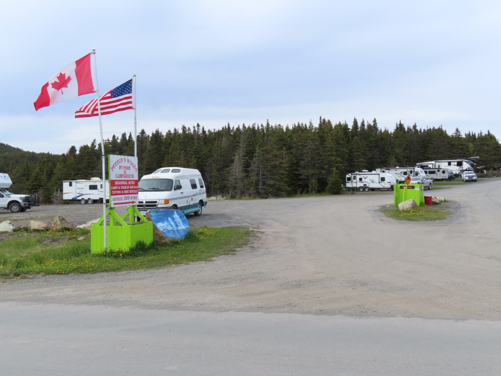
We arrived at the Peyton’s Woods RV Park just before 4pm. All it had taken was a drive through Twillingate on the way there to change our reservation from 2 nights to 3. This entire community is a photo op.
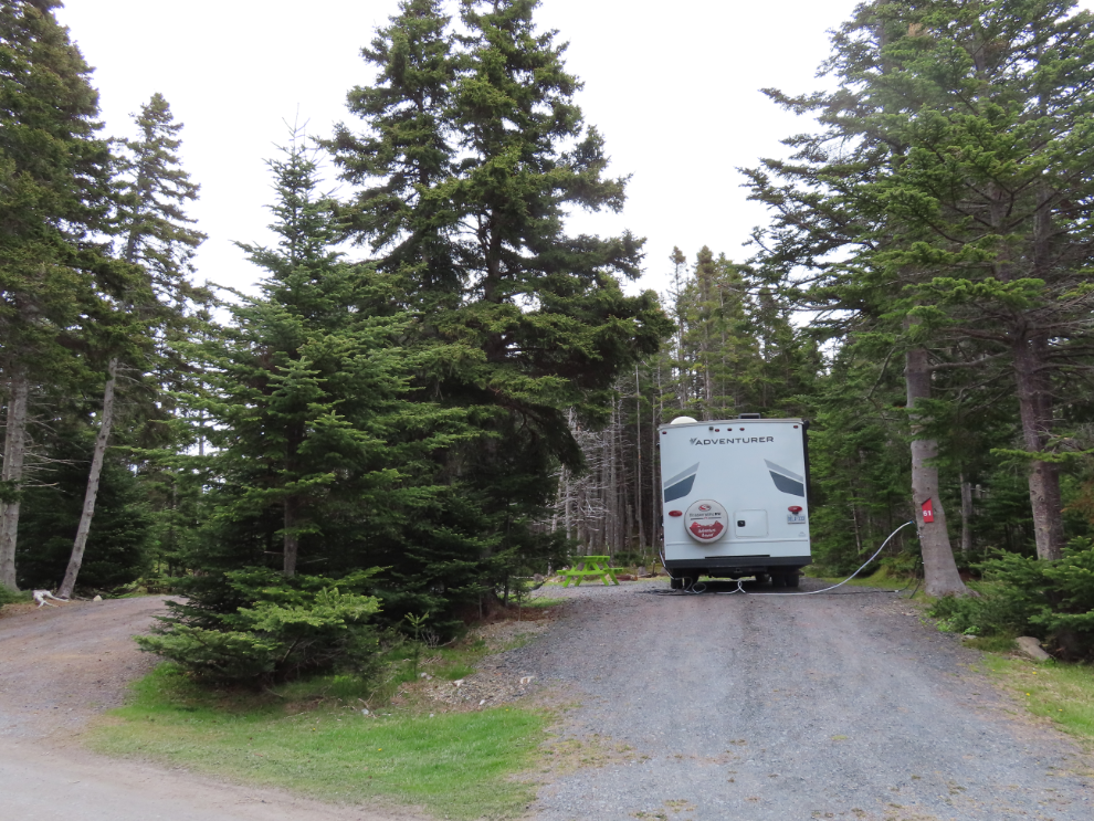
We were soon set up in the forest, and were pleased to find that Starlink worked just fine.
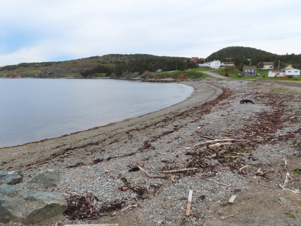
Right after getting set up, I went for an exploratory wander, with no particular goal in mind. A gravel beach along Back Harbour is only a couple of blocks away.
Climbing up a little ridge got me a nice view of a headland that looked like a good hike.
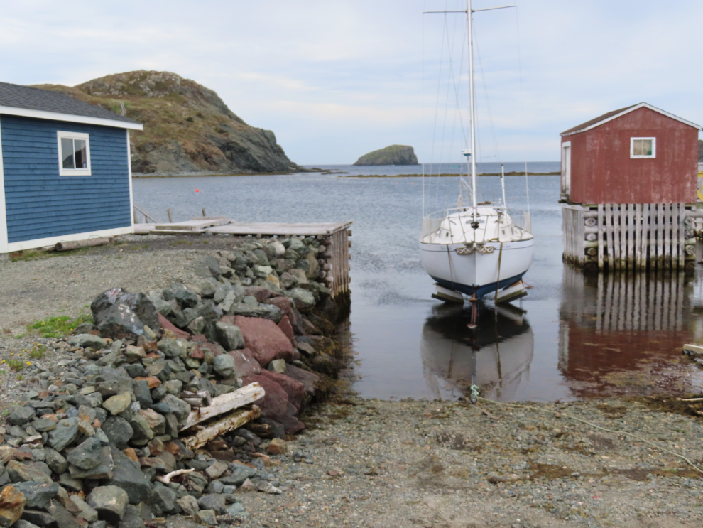
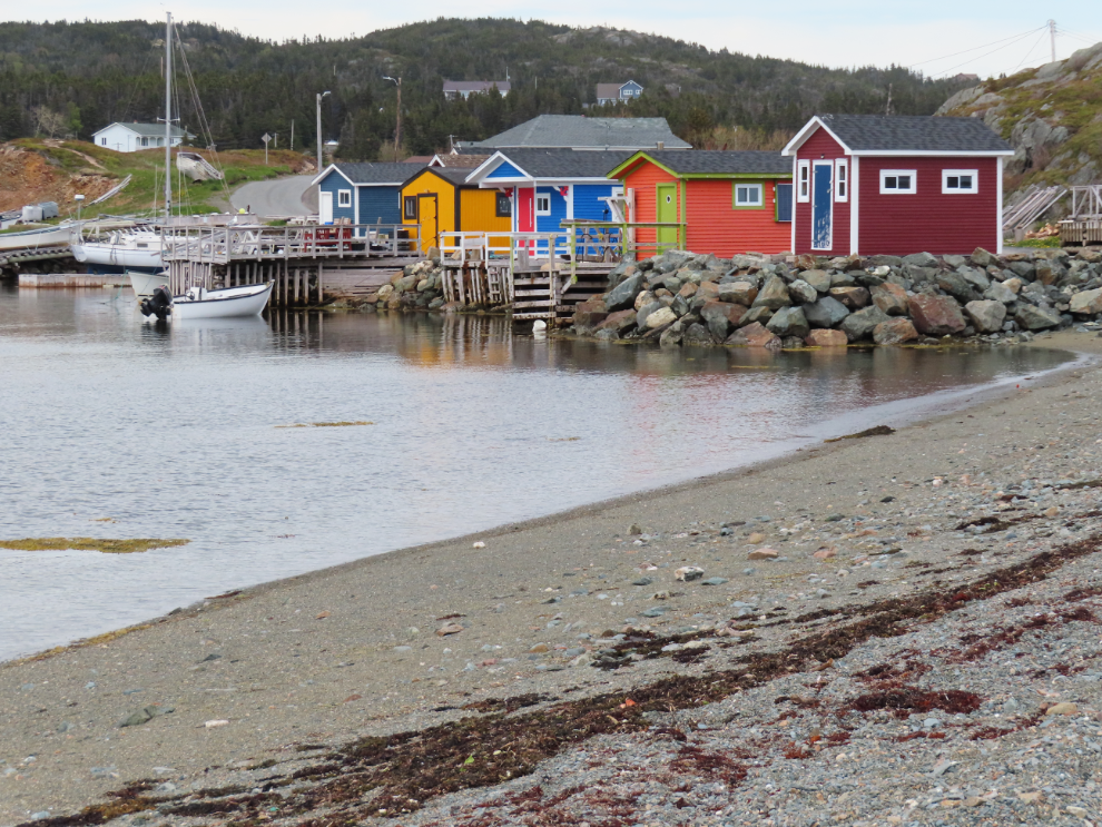
Walking in that direction, along Dock Road, took me past a group of colourful fishing shacks that I got a few photos of.
A gravel spit joined the destination headland to the mainland, but I expect it’s all underwater at times, though not during regular tides.
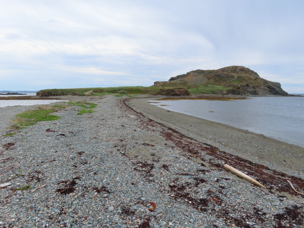
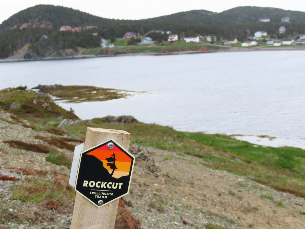
Climbing up a bit at the end put me on a grassy bench with abundant dandelions, and I came to the first signpost noting this as part of the Rockcut Trails system.
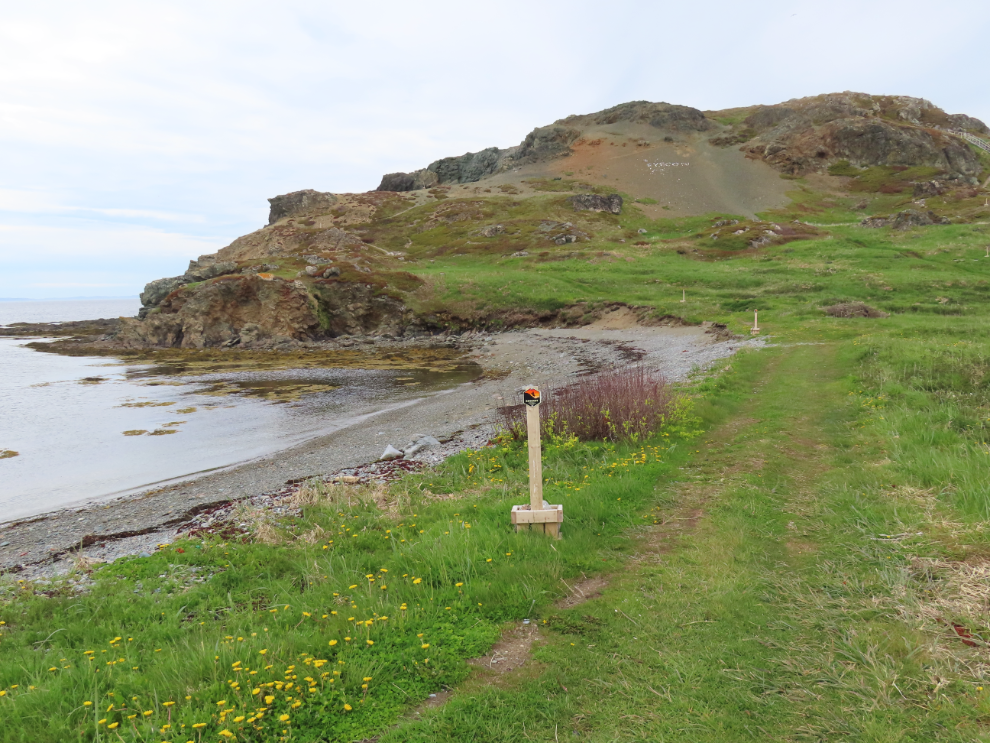
The trail then got steeper and even more scenic.
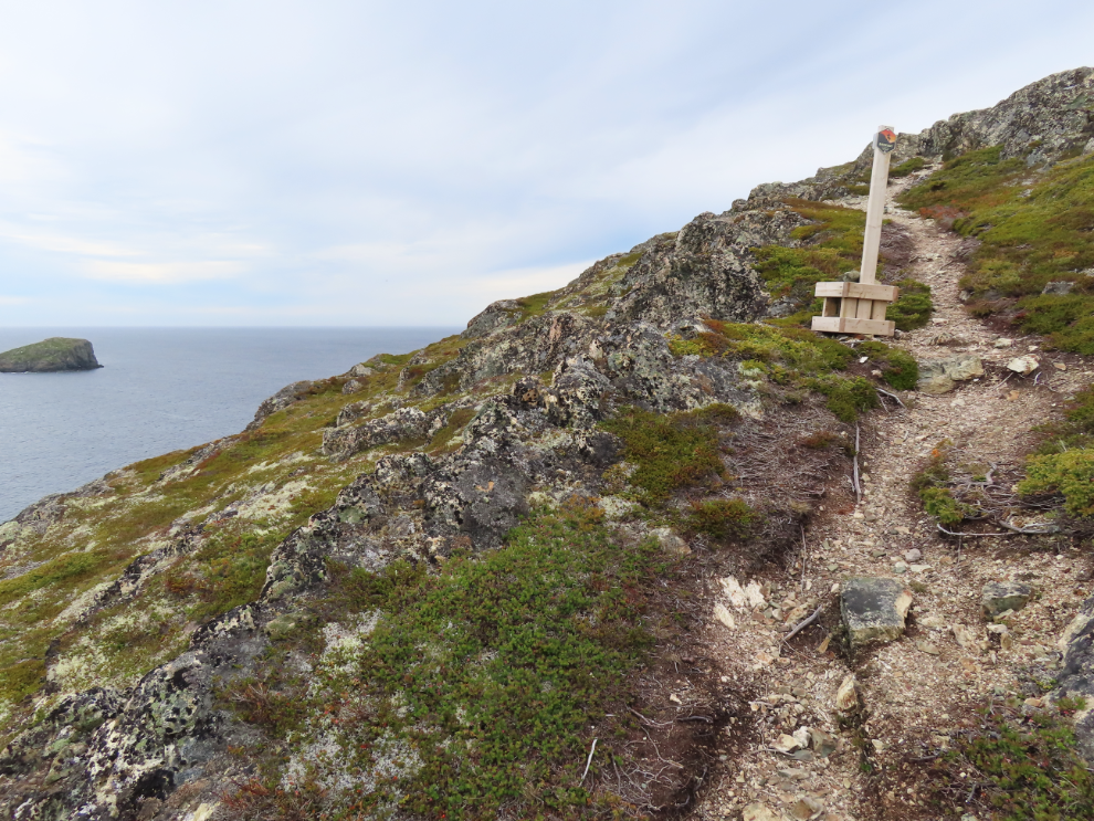
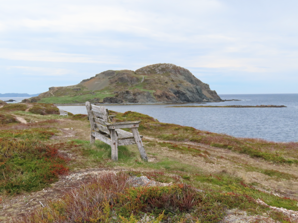
TThe top, with a sign noting this at Batrix Island, a.k.a. Barrick’s or Battrick’s Island. Google doesn’t know who it was named for.

A broad view from the top, with Back Harbour on the left and Dumpling Cove on the right.
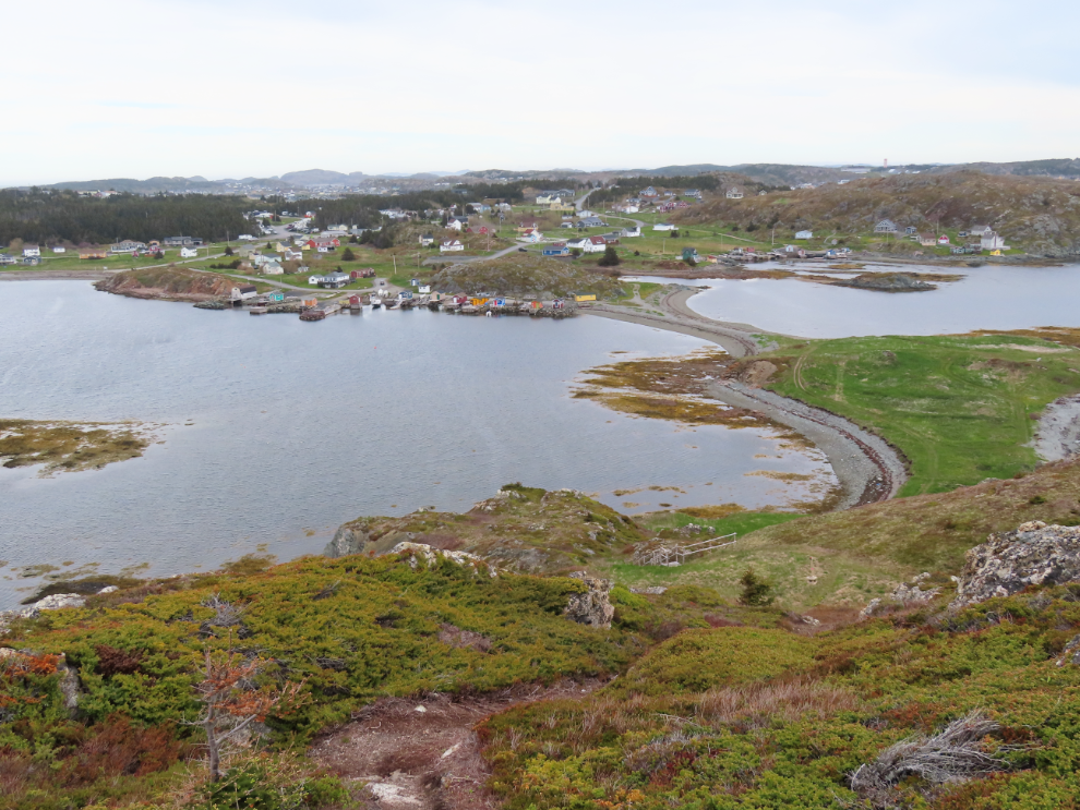
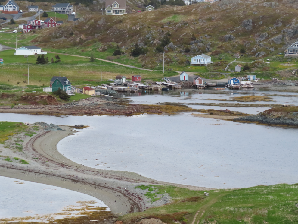
A closer look at Dumpling Cove.
Another look at the fishing shacks.
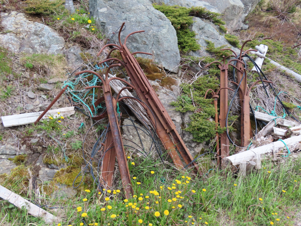
A collection of home-made anchors across from the fishing shacks.
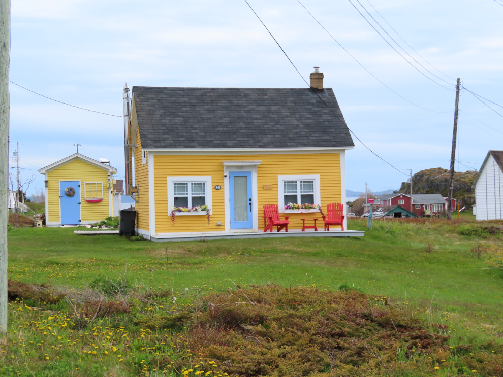
A particularly cute cottage on the way back to the RV park.
The weather forecast for the next day was ugly, so our explorations would probably start inside a nice dry museum.