The trip to Telegraph Creek, BC
Time does fly this time of year! It’s way over a week since I said I’d tell you more about my trip in to Telegraph Creek, BC, and the Glenora Guest Ranch. A few weeks ago, Ben Smith emailed from the UK, looking to set up some interesting things for Scottish comedian Billy Connolly to do when he comes through the Yukon in September on a major northern-Canada travelogue that’s being filmed (“Billy Connolly: Journey to the Edge of the World”).
[Edit: The producers had originally contacted me because of Billy’s love of doing nude scenes in his films. I was to take him on a hike, but the weather didn’t cooperate. After the test shoot we did in Whitehorse, doing a short hike, the director said “you’re more comfortable doing that nude than I would be with clothes on” 🙂 ]
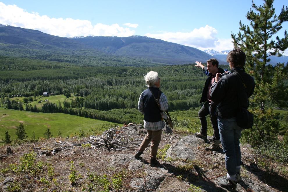
Ben Smith is the assistant producer for the Whitehorse-and-south section of the film, and this trip was escorting him and film director Barnaby Coughlin to Glenora to see the country and meet my aunt, Nancy Ball. If you’ve not heard of Billy Connolly, check him out on YouTube – he is hilarious.
The result of the trip is that Billy will be spending a day at the ranch after leaving the Whitehorse area (I’ll also be taking him hiking while he’s here).
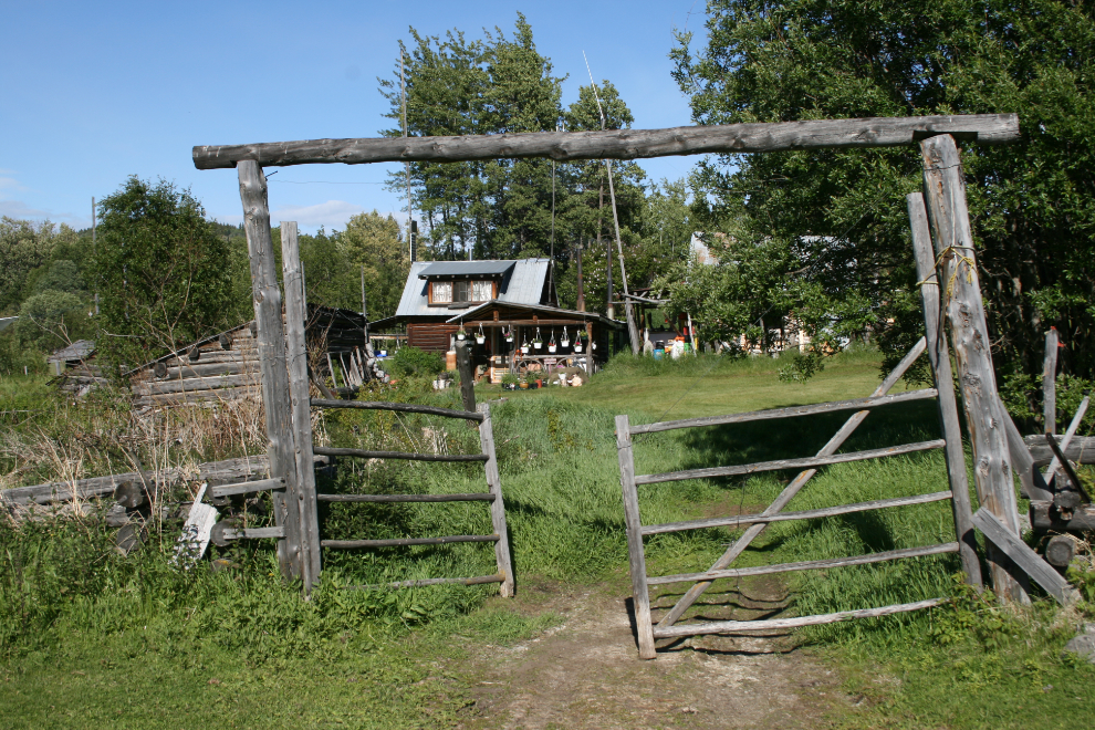
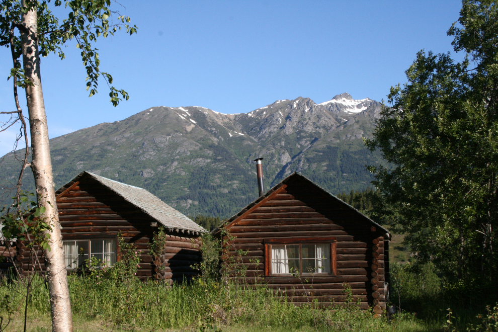
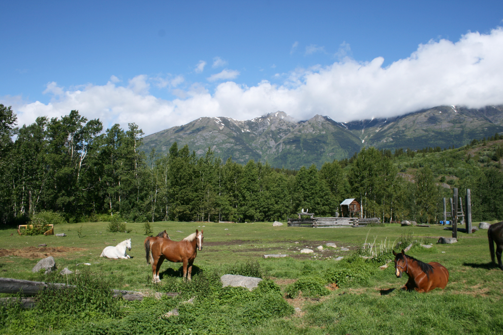
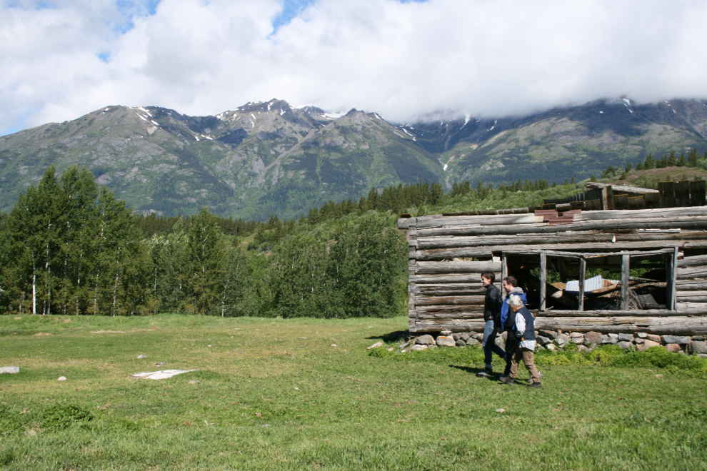
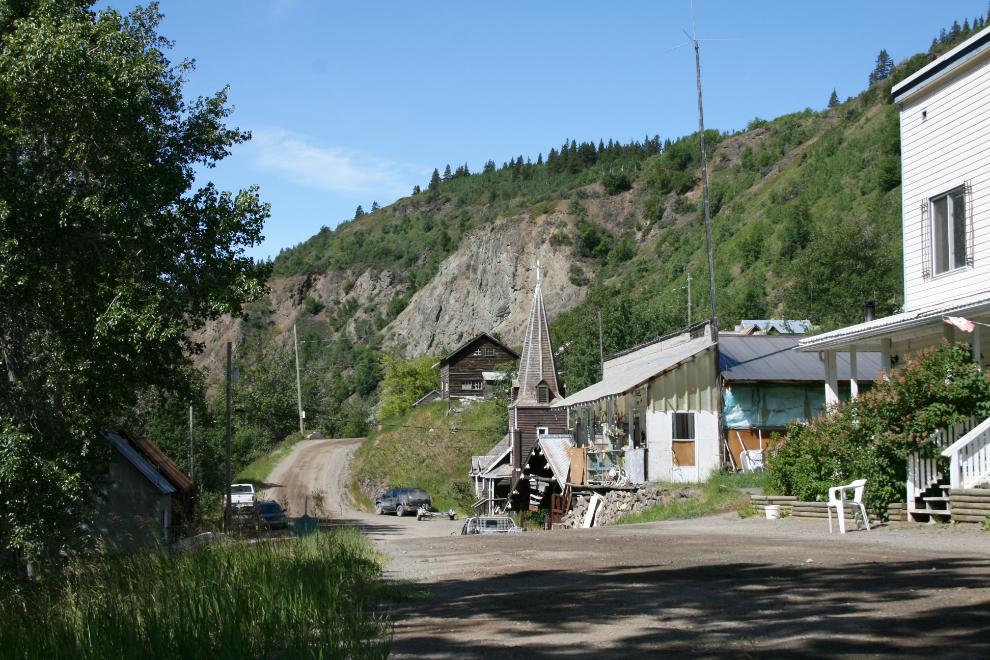
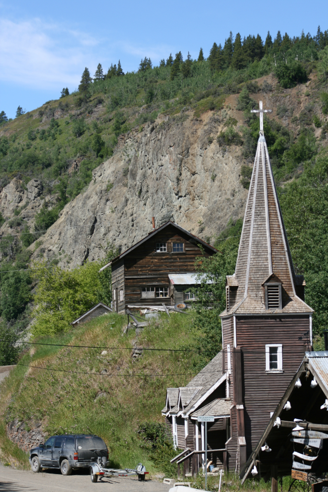
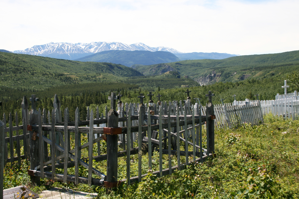
These photos, picked from over 400 that I shot, will hopefully give you an idea of what the attraction is. Billy’s travelogues always feature unique places, events and people, and a trip to Telegraph Creek provides all three.
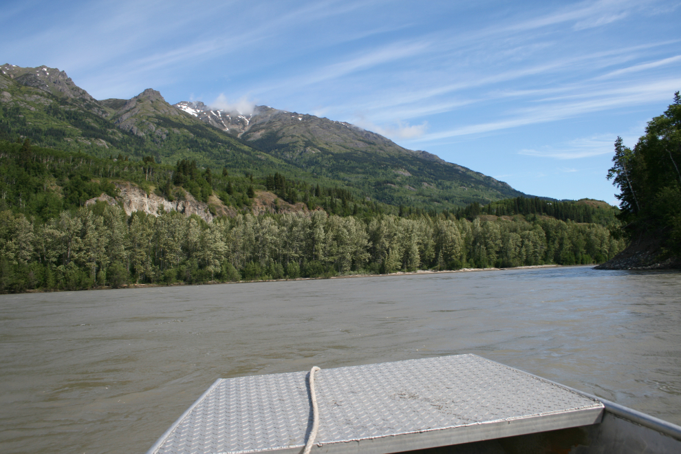
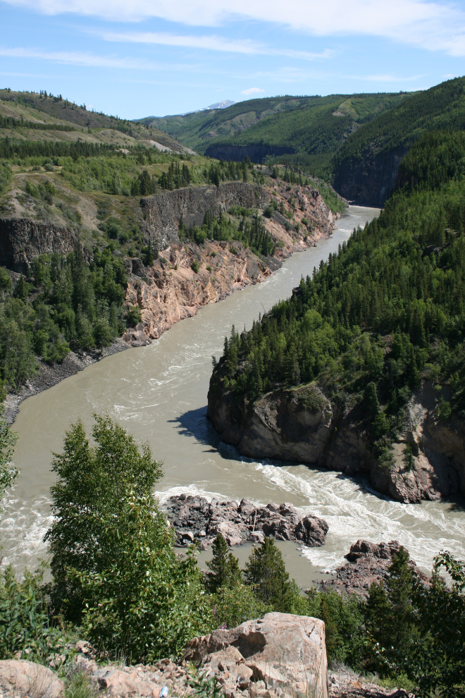
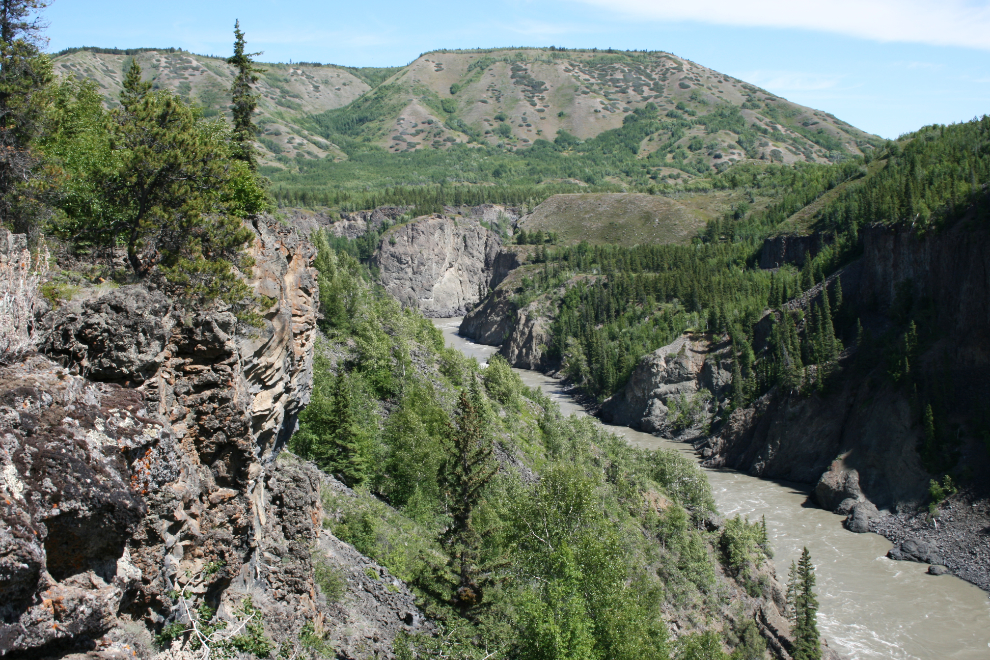
The next photo shows the Stikine River at Km 96.3.
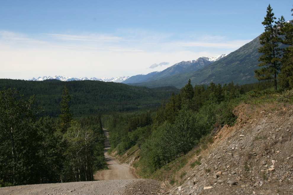
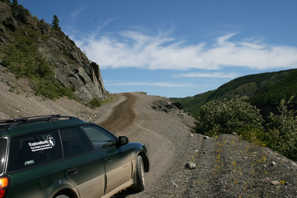
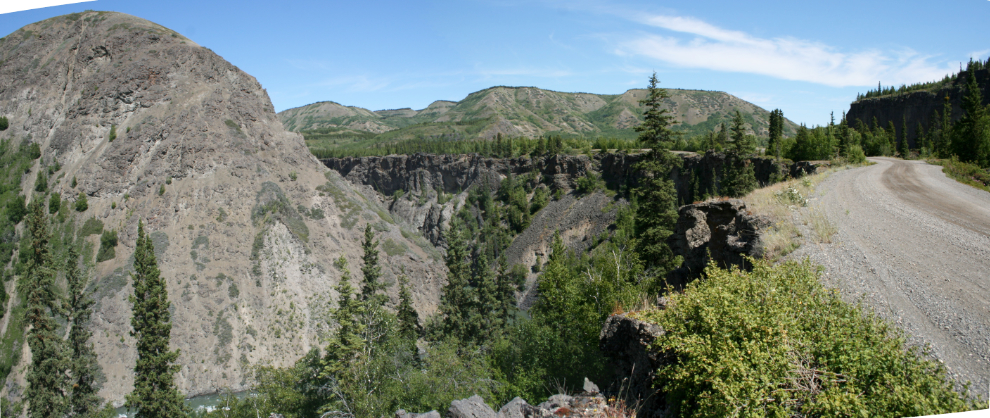
Climbing the steep hill at Km 94 eastbound. The Stikine River is at the bottom of the steep cliff on the right.
Looking down the hill to the Tahltan River, at Km 92.4. It is down to a single track for much of the drop, with a few tiny pull-outs for passing.
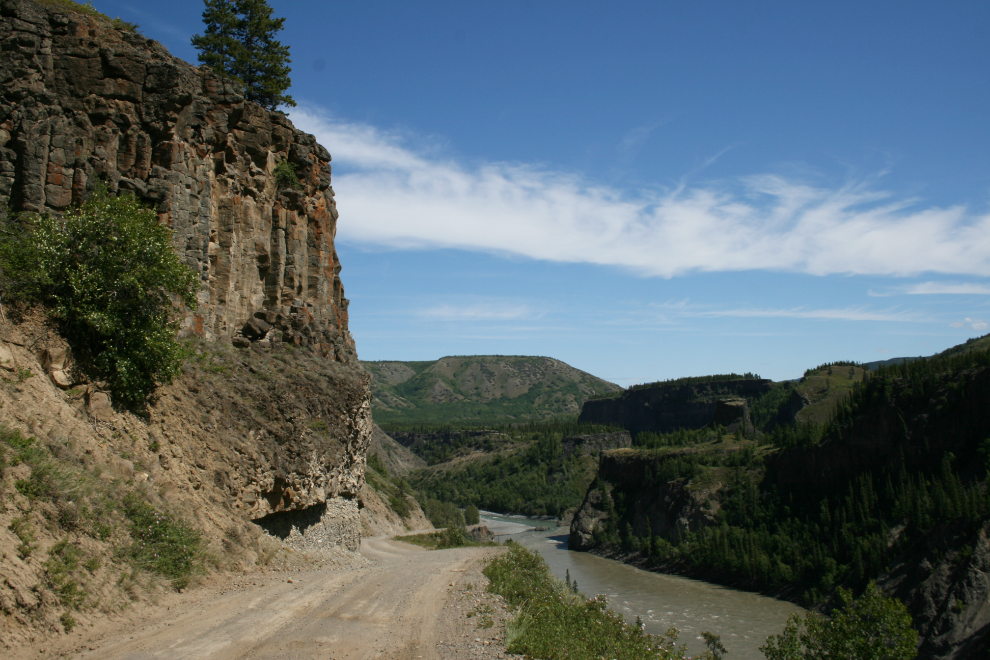
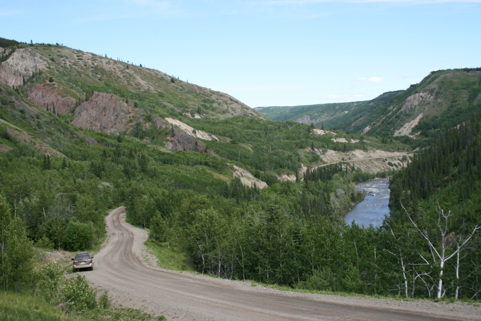
After crossing the Tahltan River, seen entering the Stikine River at the bottom of this photo, the Telegraph Creek Road climbs steeply out of the canyon.
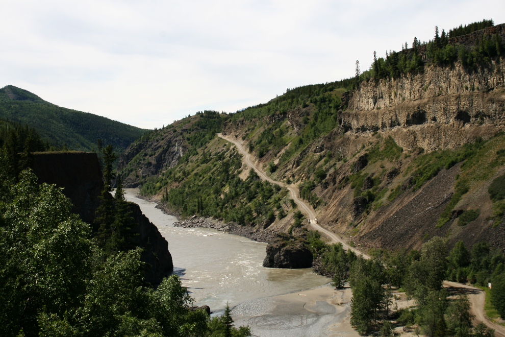
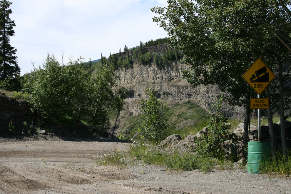
The top of a long 20% grade, at Km 90.8.
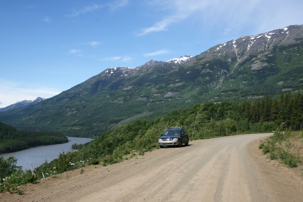
The Tahltan River, from the lava cliffs at Km 90.
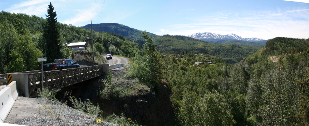
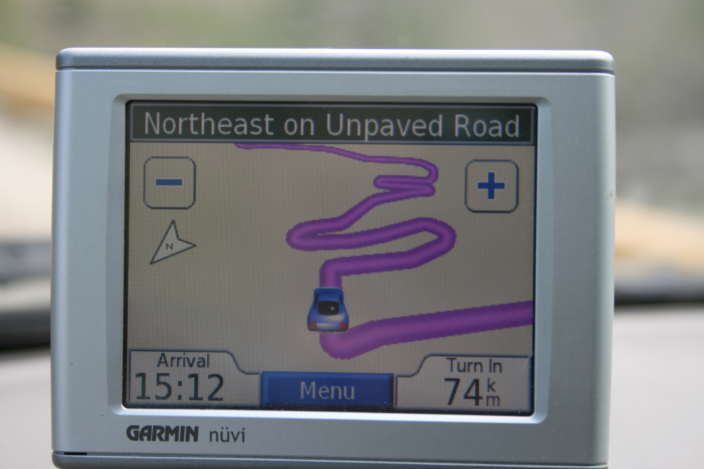
Half-way up the 18% grade at Km 76. The GPS gives a look at the route as only an aircraft could until recently.
The drive up Highway 37, The drive up Highway 37, always beautiful, was uneventful except for a fuel tanker crash that closed the highway. Although the delay meant that I was able to get some wonderful sunset photos, I didn’t arrive home until 1:00 am.