The hiking trails at Conrad Campground, Yukon
For me, one of the best features of Conrad Campground is the trails. My longest single hike on our July 10-14 visit was 4.34 km, but on other hikes I used some sections of trails not covered on that one. The major trails can be seen on the map below, to the east of the campground. Lengthy walks can also be done in the historic townsite to the south.
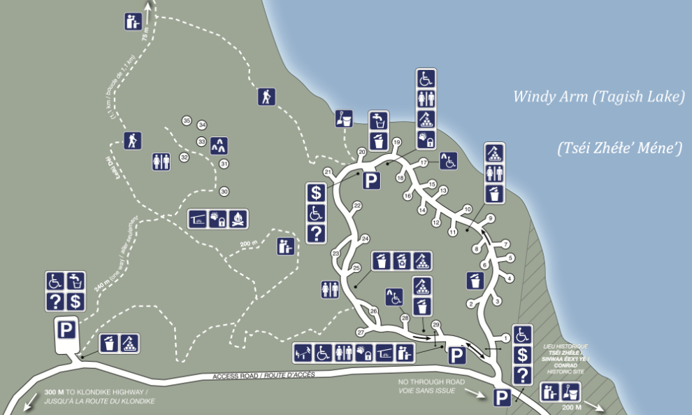
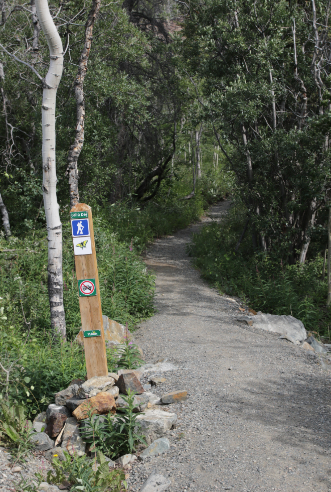
The anchor to the trail network is now the Łèiłú Déi (Butterfly Trail) that loops around from the main campground. I’ll begin this tour from the trailhead at the northeast corner of the campground. To keep the route consistent, I’ll be using photos from different hikes to show specific locations.
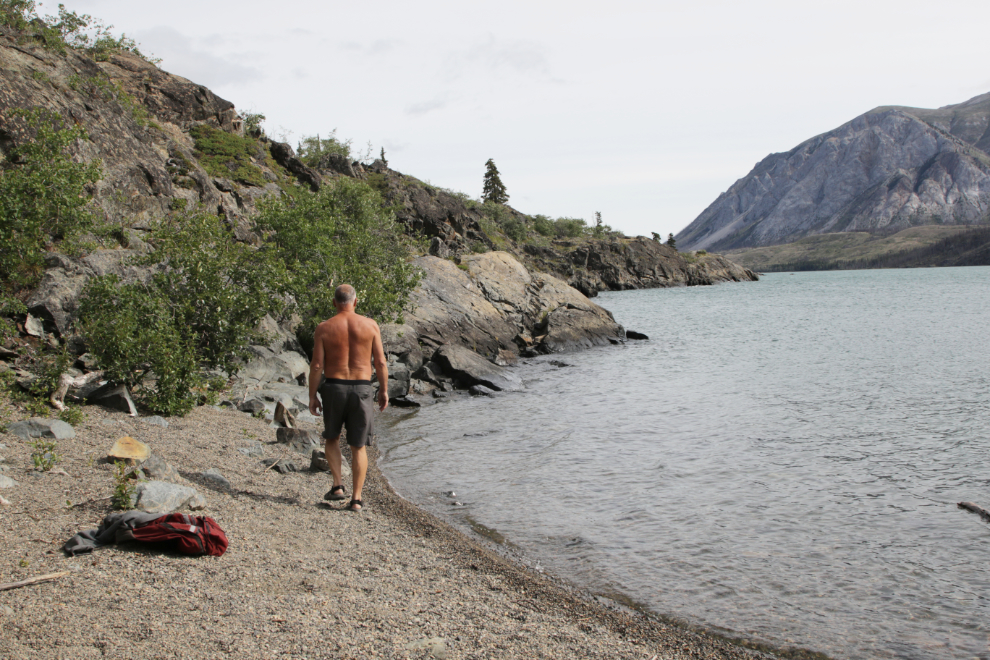
At the start of the trail seen above is a short side trail leading down to a very scenic and sheltered beach that we spent quite a bit of time at because Bella kept asking to go there 🙂
The main trail quickly gains a bit of elevation, but the grade isn’t steep, and the climb is very short. Then it has a nice roll to it as you walk along with great views up and down Windy Arm.
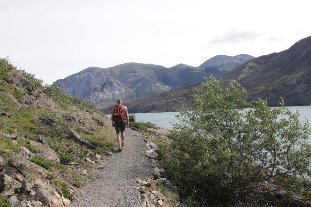
Looking back down the trail towards the campground.
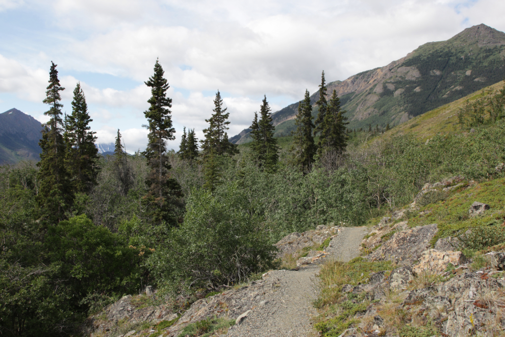
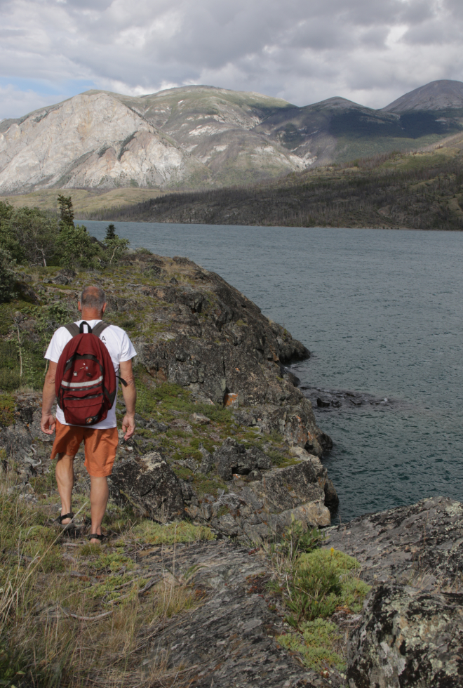
I saw a trail leading down to another beach, and went for a look.
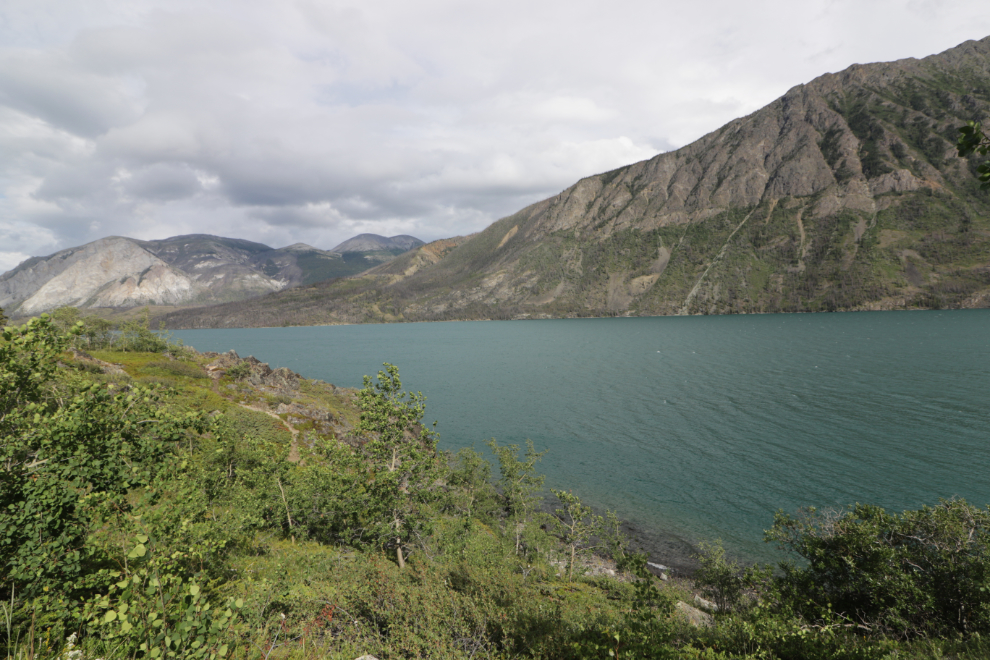
This is the second little bay from the campground. While photographically worthwhile, the beach is too rocky to be fun.
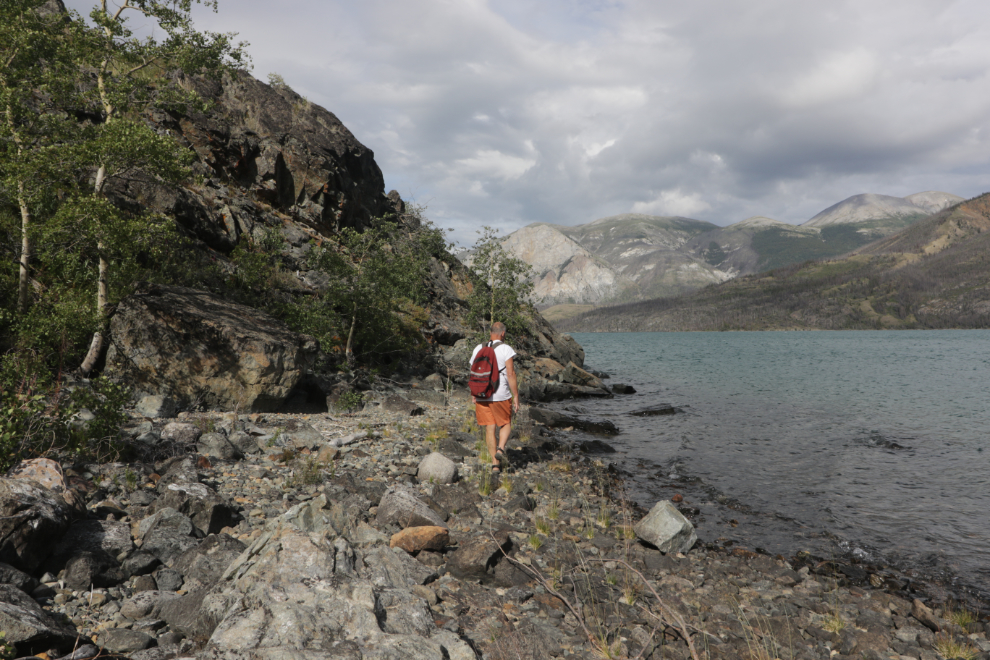
The climb back up from that beach is steep.
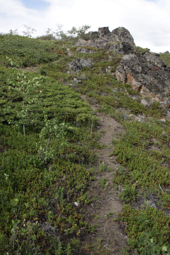
I decided to follow that trail (“of course you did,” say the people who know me 🙂 )
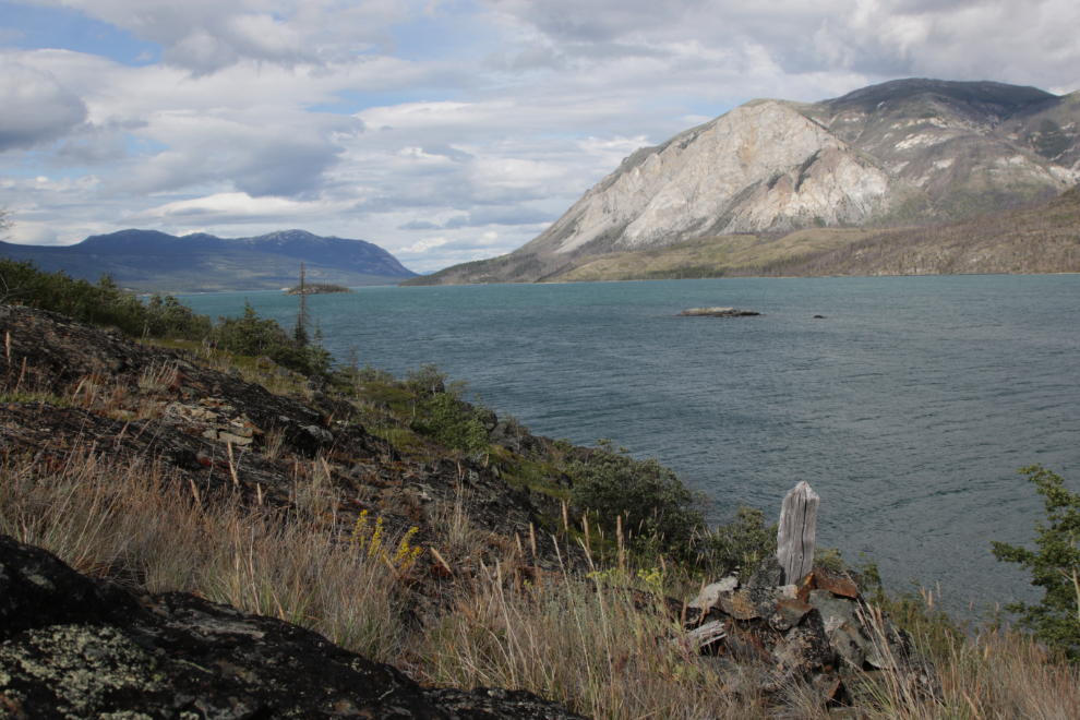
I came to a very old survey post a few meters off the trail. I’ve seen many such posts – it was clearly from the 1905-1906 mining rush that created Conrad City.
I went back to that post the next day to study it closer. I had initially thought it to be a mining claim survey, but a couple of members of my Yukon History & Abandoned Places group sent me looking instead at a land survey when I got home.
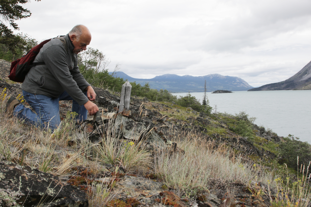
The post turned out to be Post #5/Lot 18 of the September 1905 survey of the 160-acre Conrad townsite and the next 160 acre block to the north, by H. G. Dickson. See a larger version of the image here.
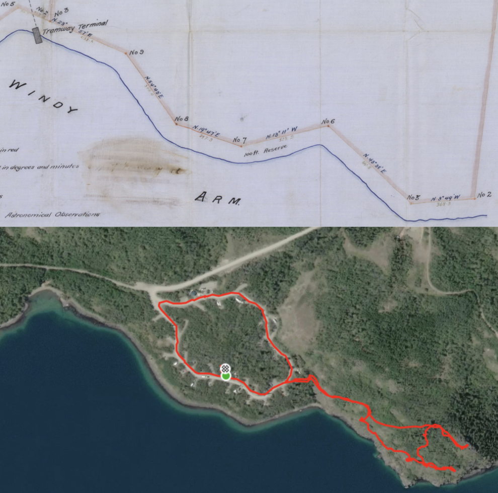
I had decided that this increasingly-vague trail could be the original 1901 trail from Carcross to the Venus mine, so kept going. The photo below shows where I quit – the trail had completely vanished and the country was too rough.
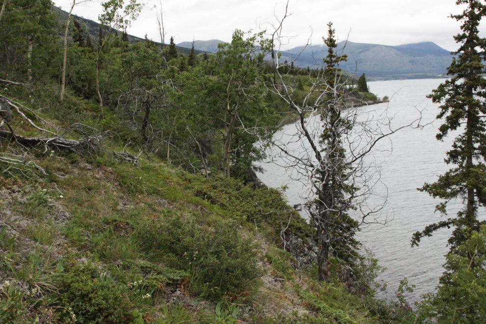
On that hike, I angled back up through the bush to intercept the Butterfly Trail, and reached it just below the fork to probably the best view on the trail network. The signpost can be seen in the distance in the next photo.
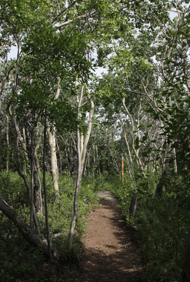
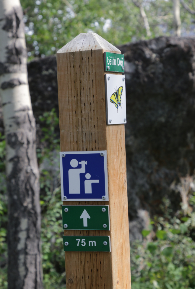
Viewpoint 75 meters ahead.
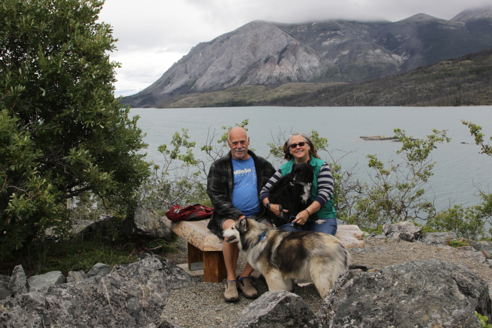
On a subsequent hike, this viewpoint provided a perfect location for a family portrait.
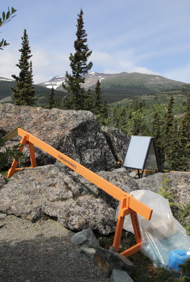
At that viewpoint, supports for a railing are being drilled into the rock at the top of an extremely high sheer cliff. The cliff is very much out of character for the country and I can’t think of what might have caused it except a fault.
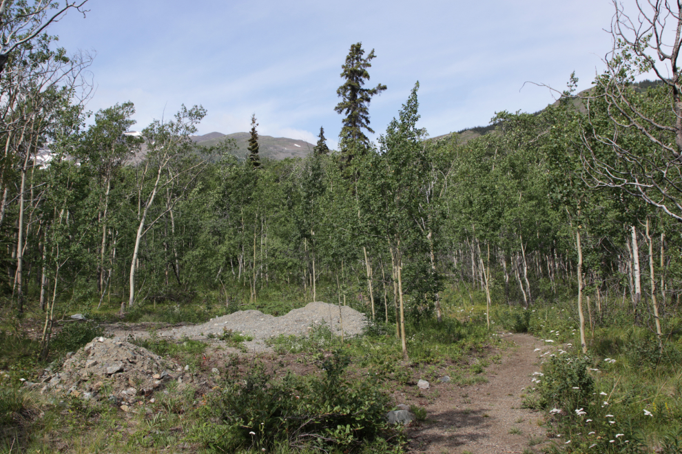
Continuing up the hill, you come to the end of an ATV trail, from where gravel was distributed along the trail.
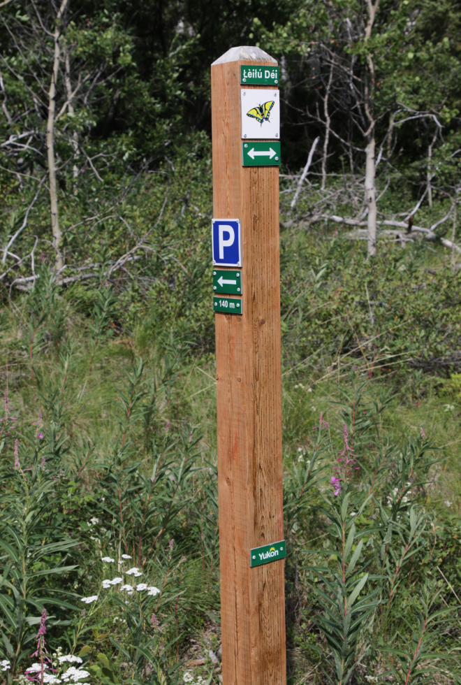
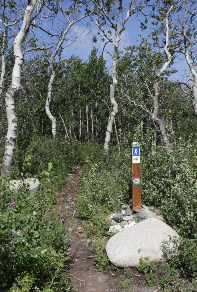
At a major junction, I first went up the hill, which the signpost notes leads to a parking lot 150 meters away.
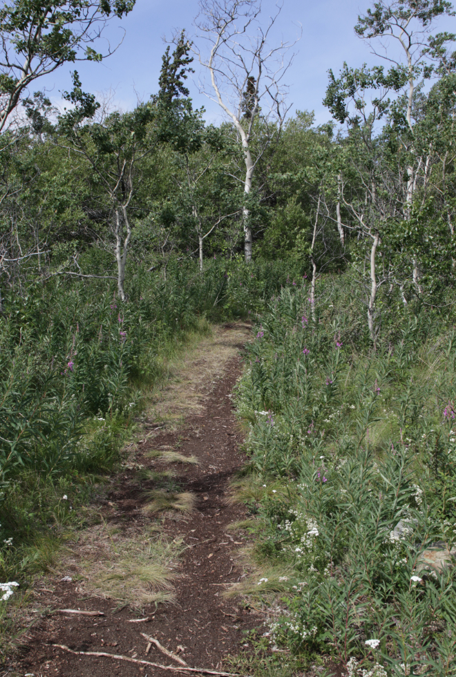
Although this trail is ATV width, plants are moving in from both sides.
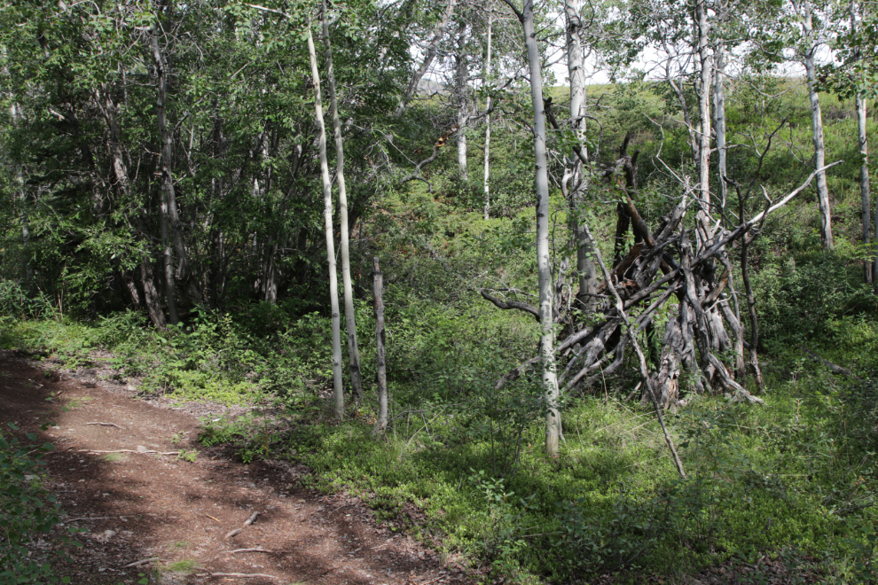
This brush shelter along the trail could be historical, or someone’s re-creation. Hides or a canvas would be put over this frame.
The parking lot, which is signed as being for people using the walk-in tenting sites.
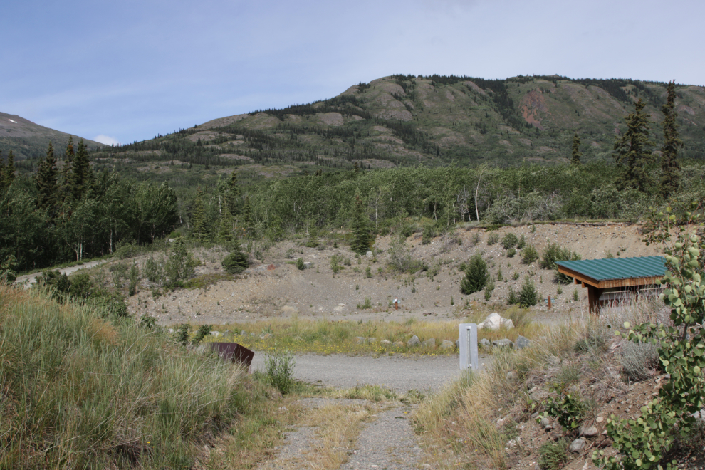
Above the parking lot is this large meadow that made me think it would be a great place for a music festival 🙂
Back at the junction with the Butterfly Trail, you go straight ahead to the walk-in tenting sites, but I turned right towards the main campground.
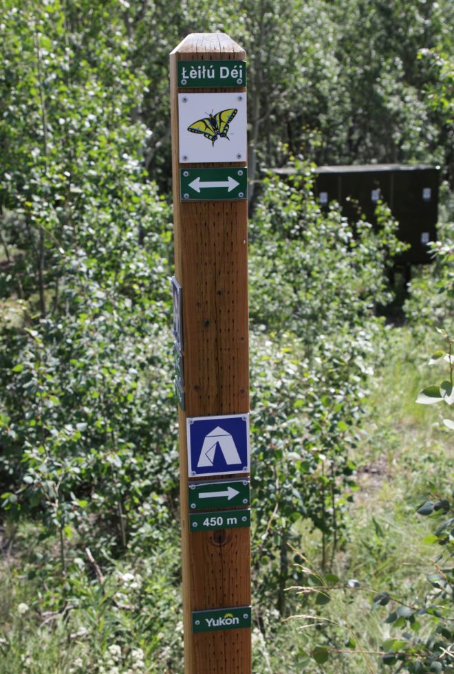
In just two minutes I reached a side trail to a viewpoint, which the signpost notes is 100 meters away.
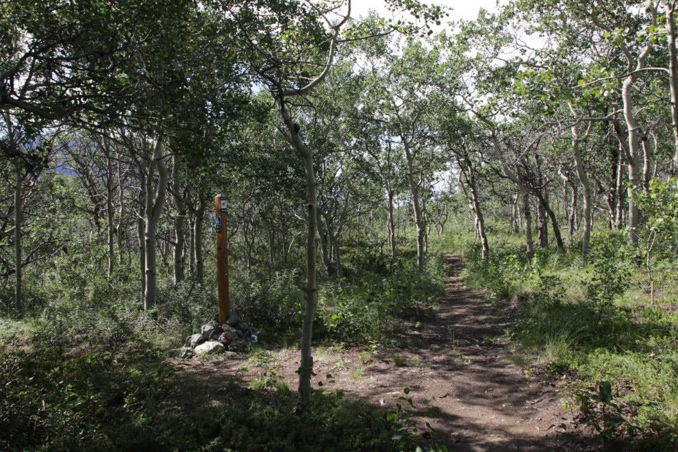
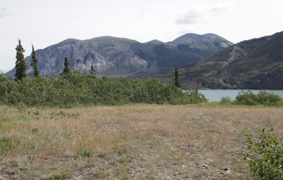
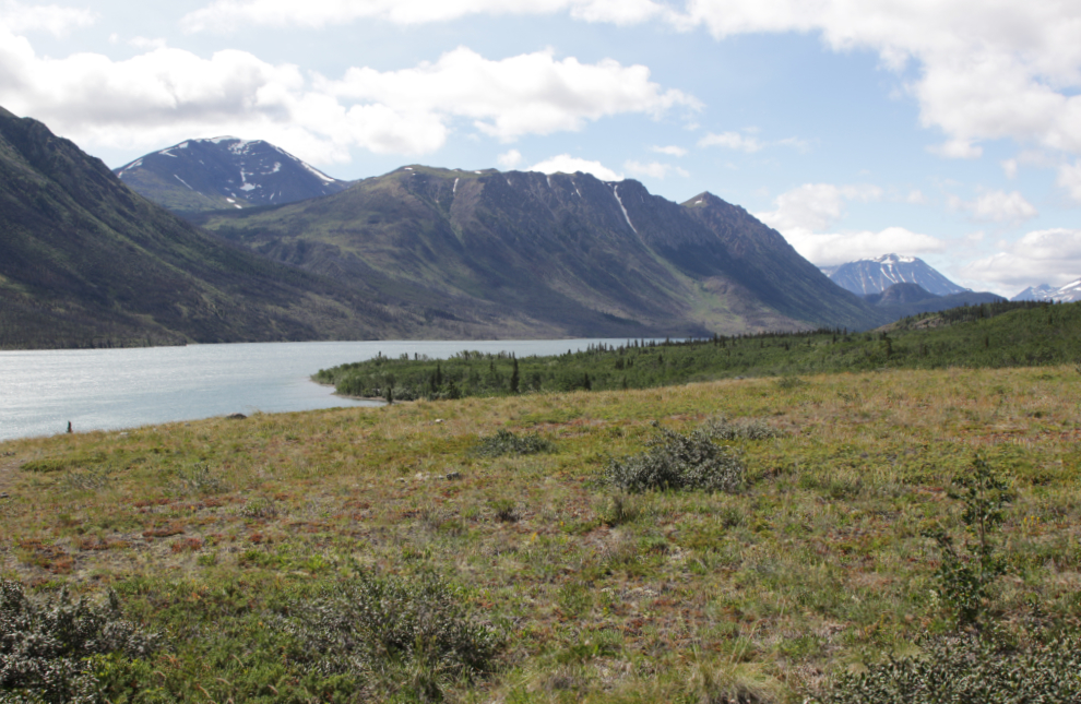
The viewpoint is actually a huge meadow overlooking the campground, with a panoramic view. The meadow is almost level, showing it to be a beach terrace from the massive lake that was here 10,000 or so years ago when the glaciers were melting from their last peak period.
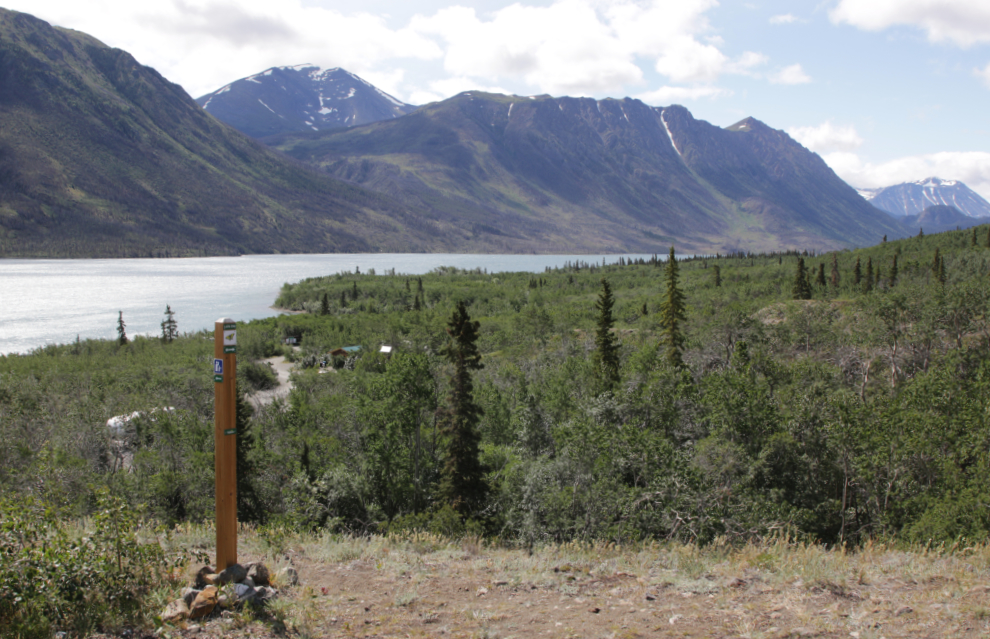
The side trail to the right here goes to the walking-in tenting parking lot.
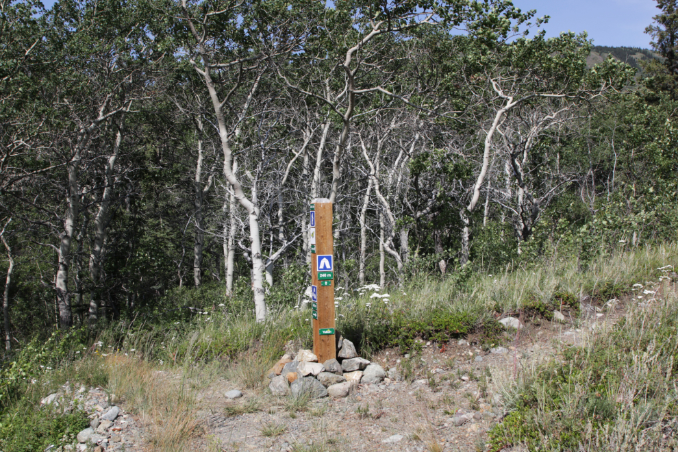
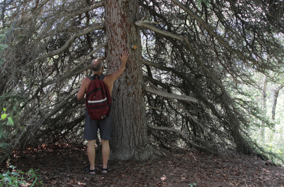
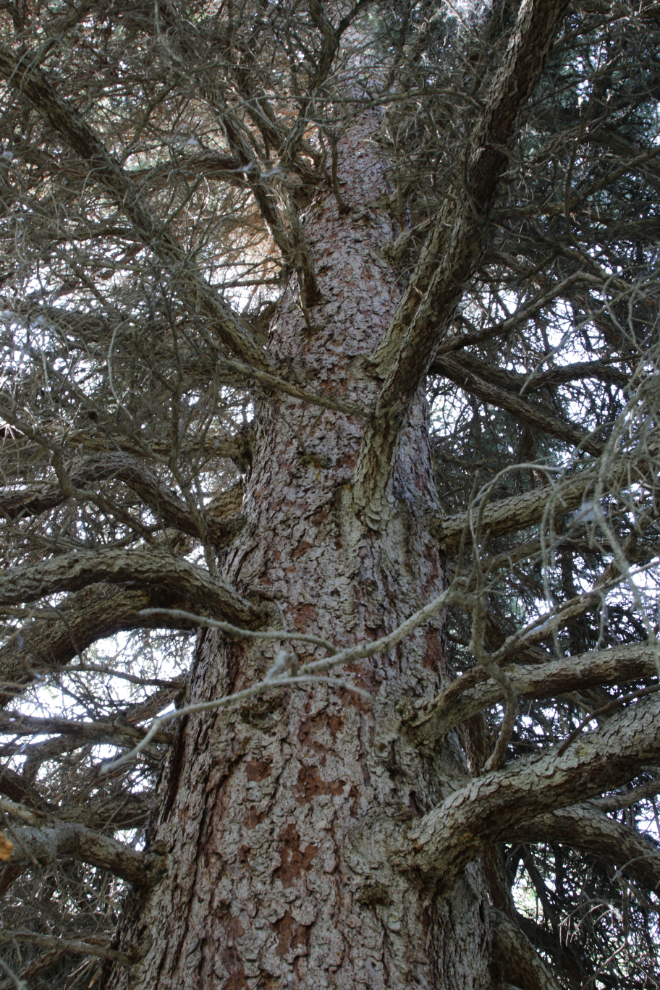
This white spruce is massive by Yukon standards.
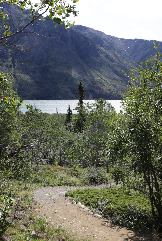
Dropping down to the campground.
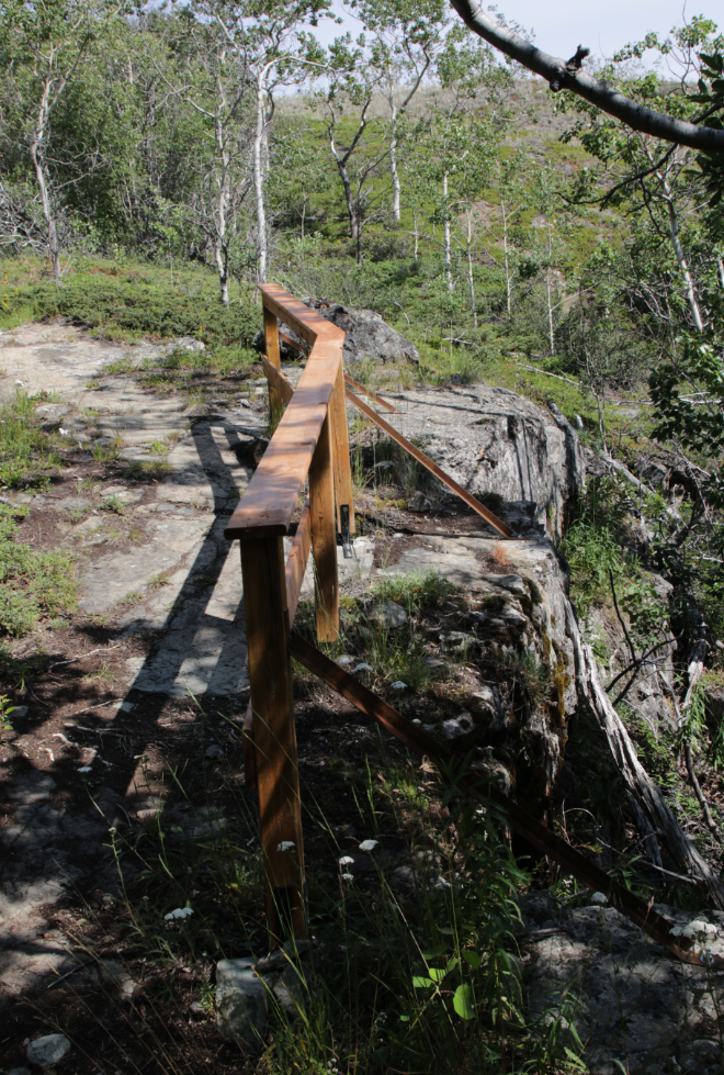
Looking back at a very sturdy railing.
Looking back at the upper trailhead for the Łèiłú Déi / Butterfly Trail.
I hope you’ve enjoyed this look at the Conrad Campground trail network, and that you get to experience it yourself some day.

“Very old survey post” with that wonderful view across the lake and the mountain… some reason that spoke to me in a big way… I could see a leisurely sit down with binocs, camera, hot thermos and lunch… What a neat place. Thanks for sharing.
Thanks for that comment. It’s wonderful how some places just have that right vibe, for reasons we may not even understand. I spent quite a while there on 2 hikes.