Sunny-day walks on the Whitehorse airport trails
We’ve been having some lovely weather lately, with sunshine, and highs nearing the freezing point. The light is starting to have a Spring feel to it, so on Monday and Wednesday I pulled myself away from this box and went for walks on the trails along the Whitehorse airport. Here’s what my city looks like.
On Monday I headed in to town about 10:45. Sunrise had been at 10:05, and it would set at 6:24 – we’re gaining almost 6 minutes of daylight each day now.
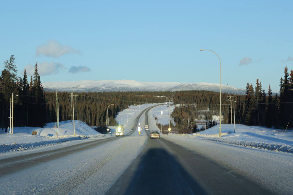
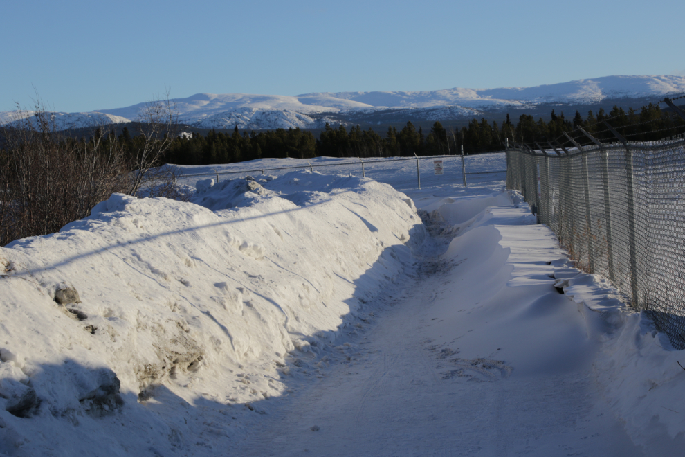
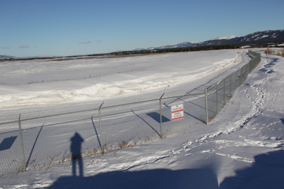
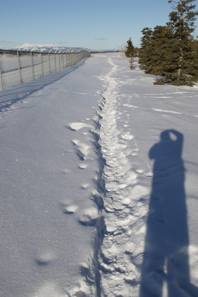
By 11:30 I had been walking for a few minutes and had reached the north end of the runways at YXY / Erik Nielsen Whitehorse International Airport. A strong south wind had drifted a lot of snow across the trail, but the City does a great job of keeping this trail cleared so I didn’t expect it would look like this for long.
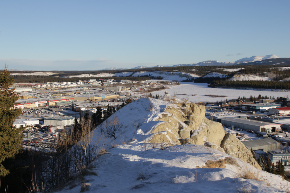
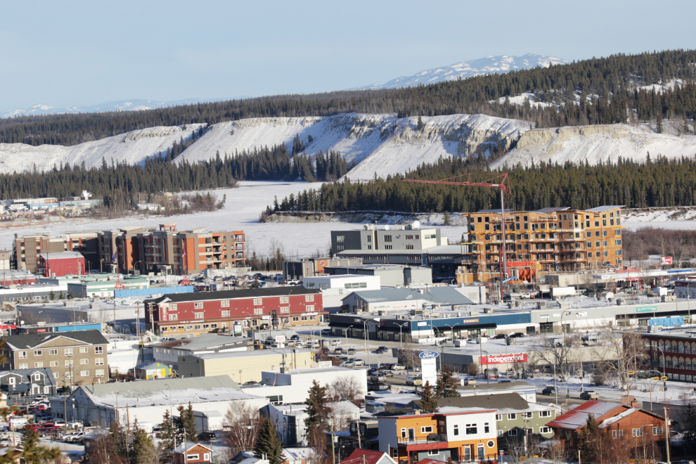
11:42 – the north end of this section of the “clay cliffs” or escarpment was main destination for this walk. It’s a handy place to keep an eye on changes going on, and it’s a good spot to think about our place in a vast wilderness. If you were to fly straight ahead in the photo, which looks down the Yukon River, you would see very little man-made between here and the Beaufort Sea (the Arctic Ocean), almost 1,000 kilometers away.
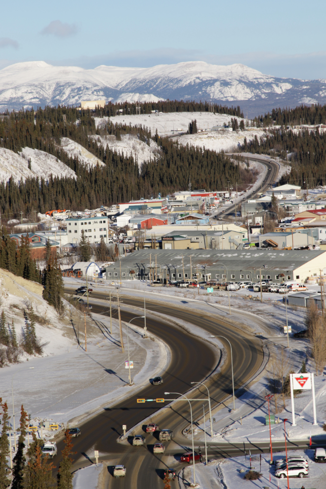
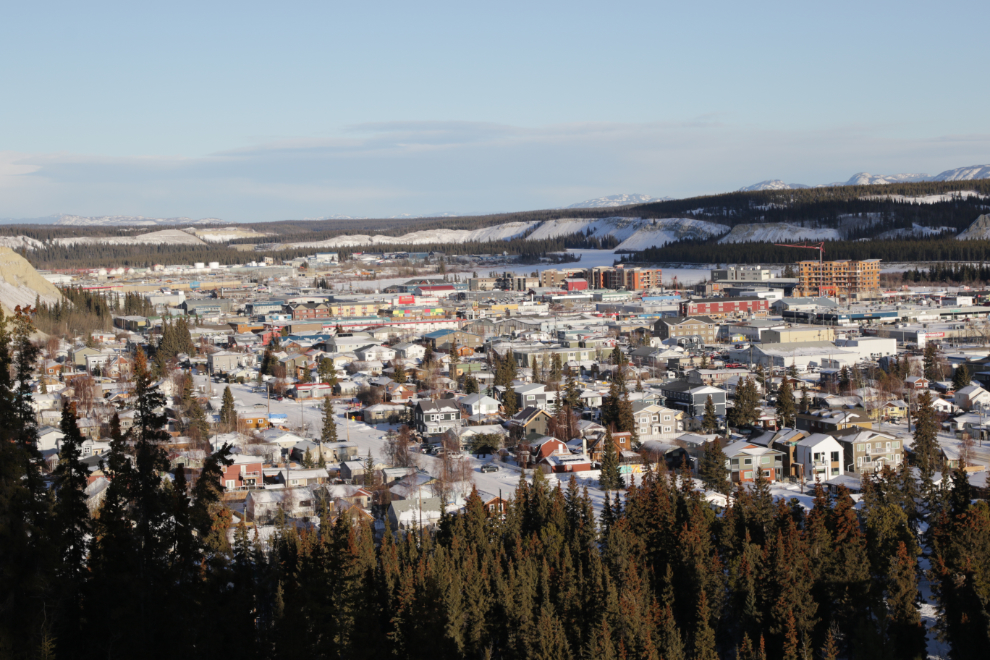
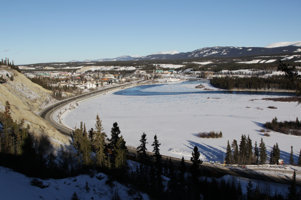
The next photo was shot from the bench seen in the distance in the last photo. It looks up the start of Two Mile Hill, which was the only road from the Alaska Highway to downtown Whitehorse until 1962, then across the Marwell light-industrial area and up Mountainview Drive. Yukon University and the Yukon Arts Centre can be seen on the hill to the left.
Back in the forest, I could see that many of my neighbours were out enjoying the warmth as well 🙂
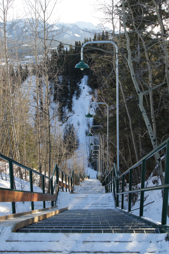
The newly-rebuilt Black Street Stairs lead down into town. They are sometimes called the Puckett’s Gulch stairs – the first road up to the area that would become the airport ran up Puckett’s Gulch, which is just to the right of the stairs. The airport trail isn’t maintained past this point, and not many people use it so it’s no longer easy going.
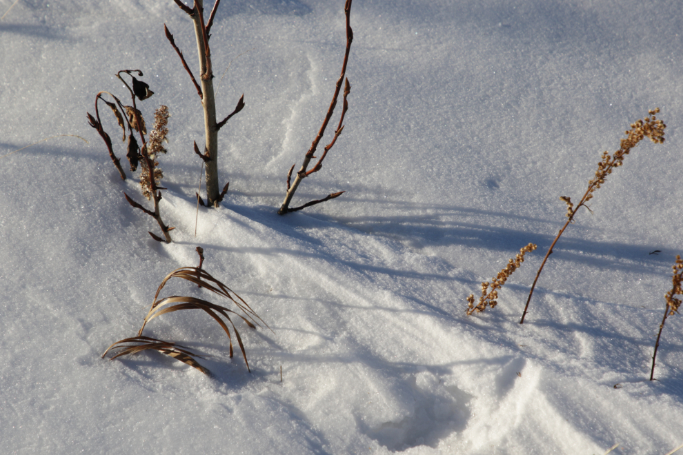
Wind and snow can be an interesting partnership to explore, and I spent a few minutes doing just that.
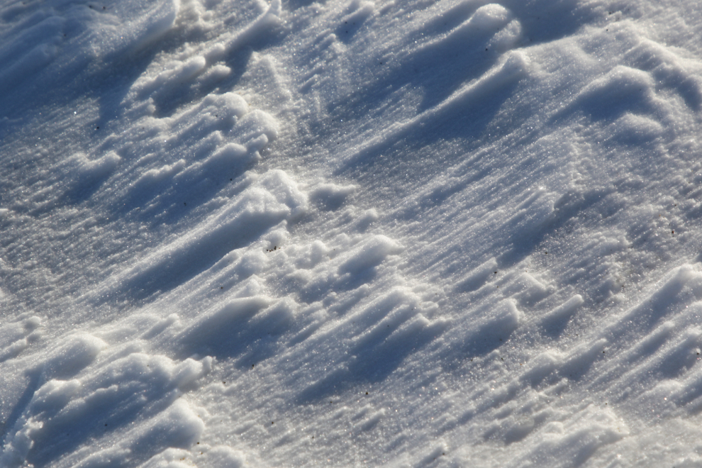
One of my Facebook friends pointed out that the parallel ridges are called sastrugi, a Russian word.
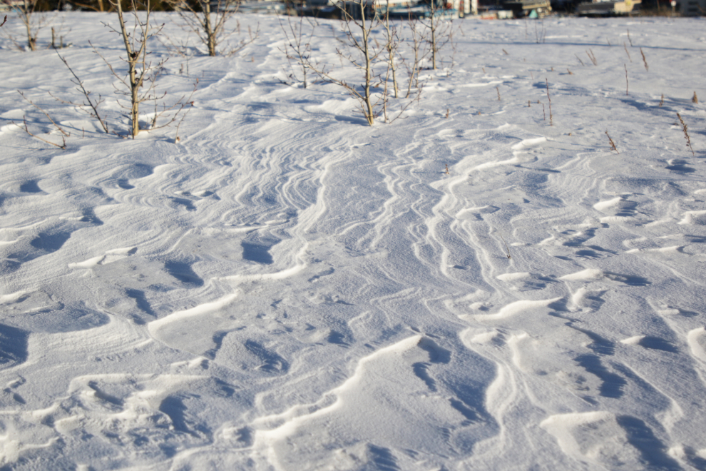
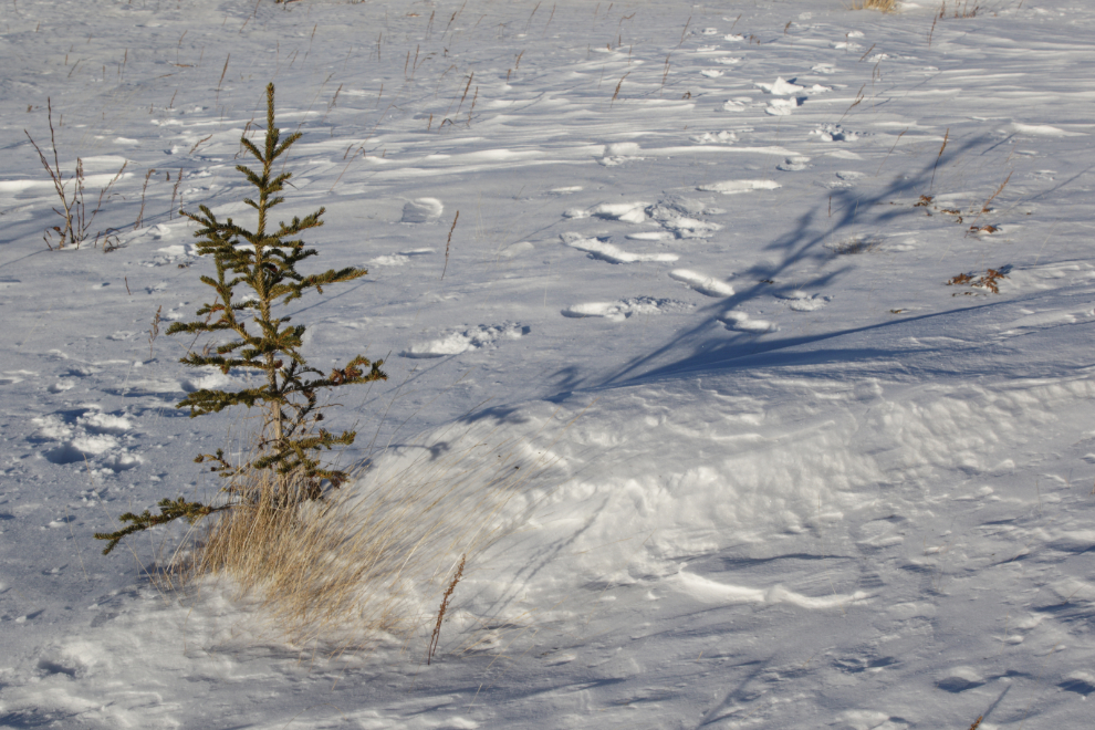
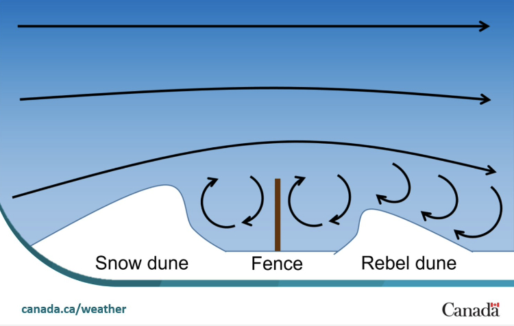
Environment Canada posted a handy graphic yesterday morning and explained that the dunes that grow on the windward side of an obstacle are called snow dunes, and the ones that grow on the downwide side are called rebel dunes.
The downtown residential area is slowly being redeveloped but there are lots of original cottages from the 1930s and ’40s. Many of the condos are being built on the prime land along the Yukon River.
The condo seen under construction to the right is The Loft. Although it sold out quickly, many units are being re-sold now – there are currently 5 one-bedroom units listed at Realtor.ca for prices between $409,000 and $459,000. A few of my friends live in the development at left centre, all with wonderful river views.
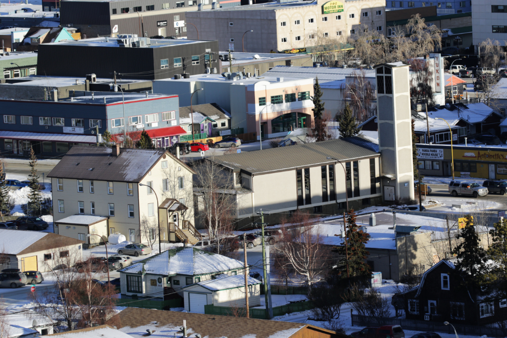
The Catholic church.
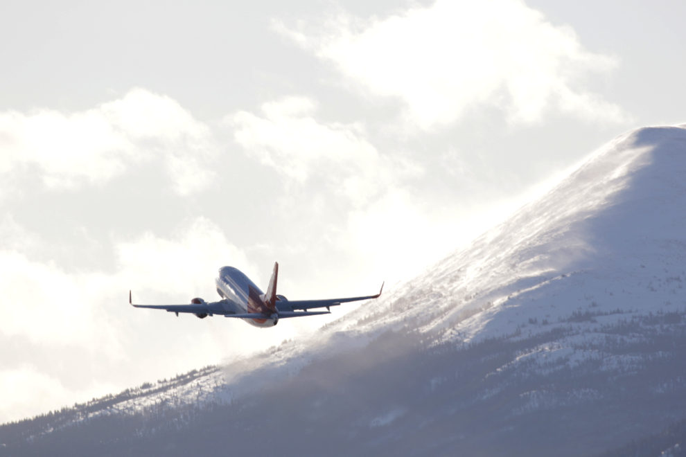
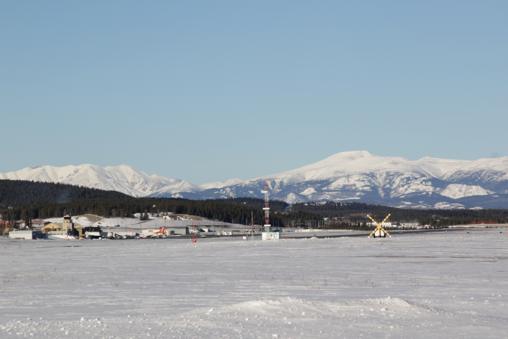
I hadn’t checked the airport arrivals/departures schedule, and it was very quiet. The next photo shows the only plane I got a decent photo of. The mountain is Golden Horn, the one that I live near the base of.
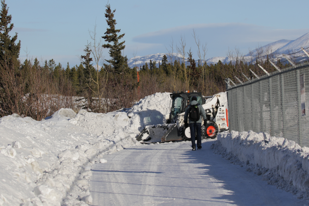
Back at the north end of the runways, a City skidsteer was just finishing clearing the snowdrifts away. Nice!
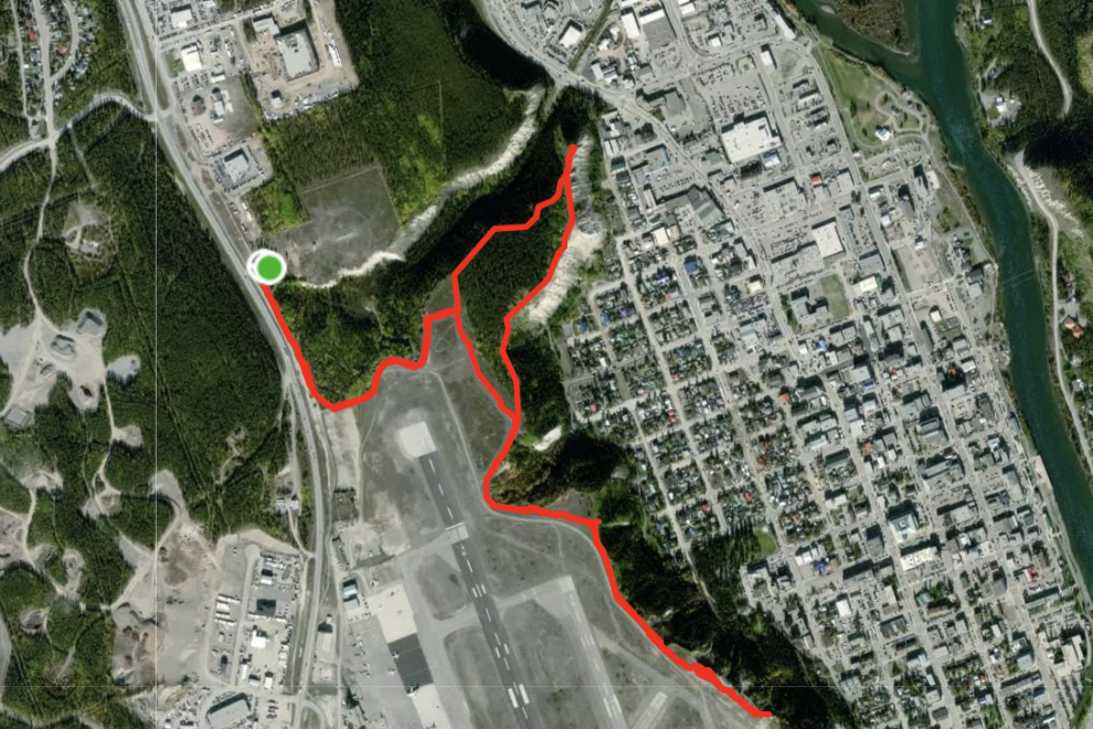
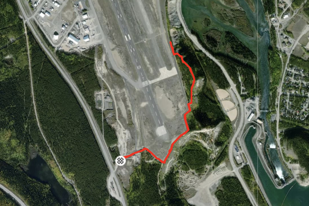
Here’s how the 5.7-km walk looked to my Strava tracker. My comment was “Nasty wind with gusts to 40 km/h but the sunshine and -3C were lovely. The south half was a bit punchy because few people go there in the winter and the trail isn’t defined.”
_________________________________________________________________________________________
Wednesday was another bluebird day, and at 1:45 I was back at the airport, at the south end of the main runway this time. The south wind was still strong and there was lots of drifting of the snow here as well, with little foot traffic to pack a trail.
The power dam is a relatively quiet place in the winter.
Although it looks like all the water is frozen, the vast majority of our electricity is still generated by hydro, as this graph from Yukon Energy shows.

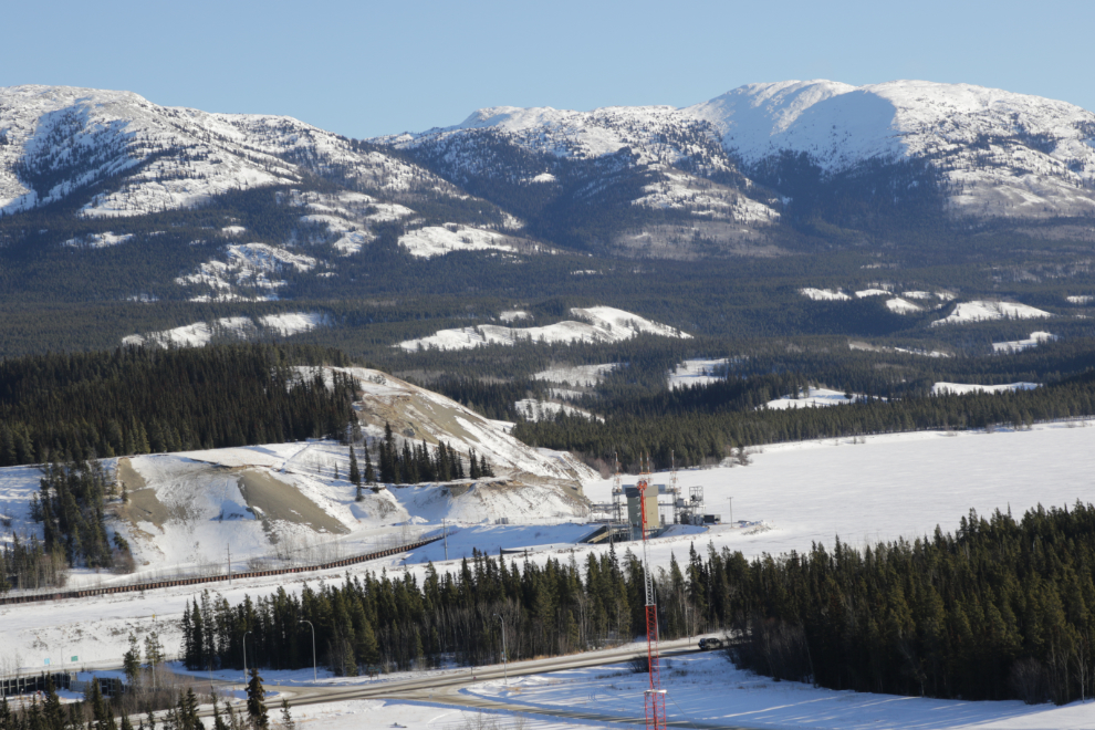
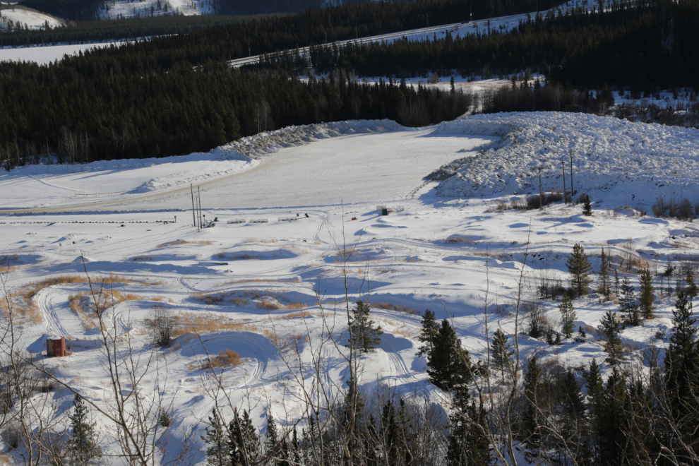
After two brutal winters, we’re getting very little snow this year, as shown by the fact that the snow dump below the airport is getting little use. The past two winters, this dump was full and two more were in use. In the foreground is a motocross course.
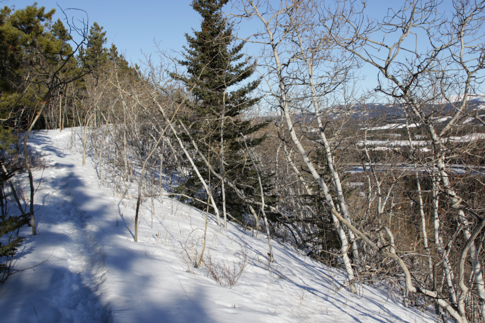
The trail was much better out of the drifted section.
The airport control tower is at the far left. To the right, the secondary runway has been closed for a year or so for some upgrades.
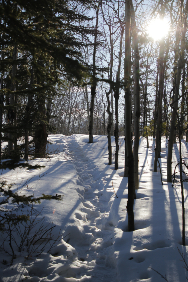
I moved away from the runway as soon as a trail was apparent – this was a nice section. along the escarpment
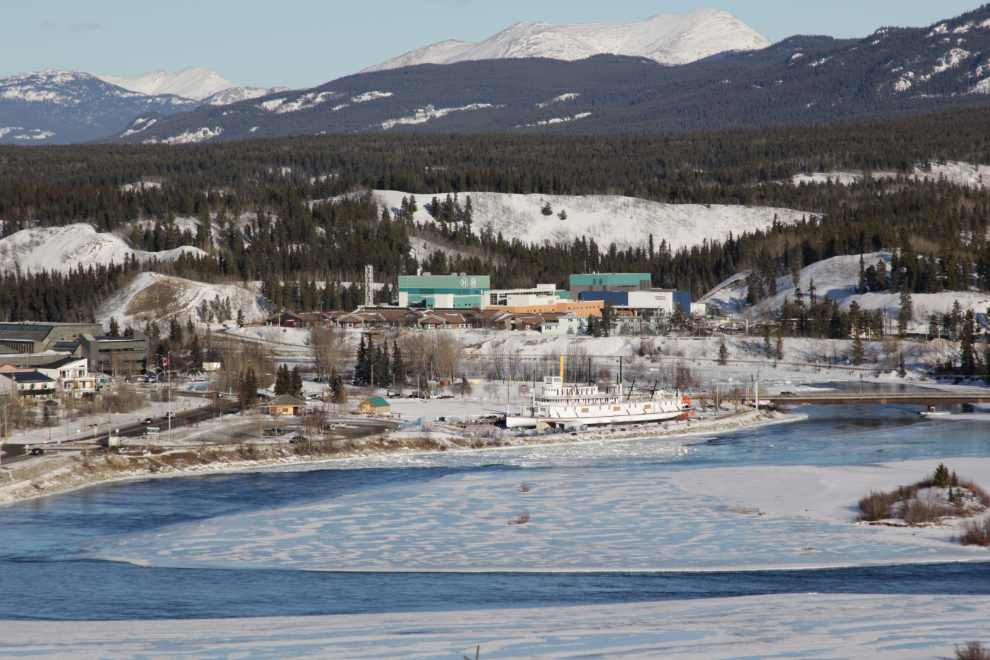
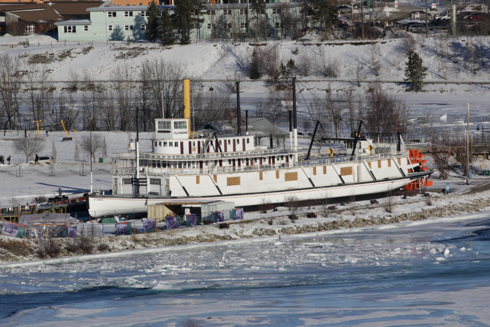
The next 3 photos show the Yukon River and the S.S. Klondike, at 24mm, 105mm, and 400mm. This was my primary destination, and it turned out to be the end of the trail – nobody else had gone more than a hundred meters or so past this.
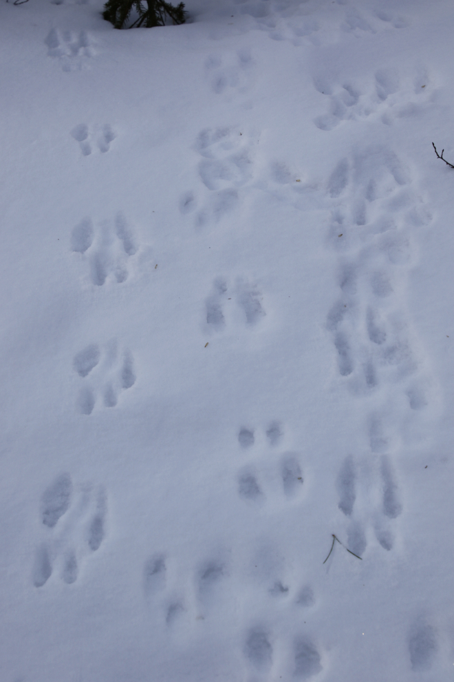
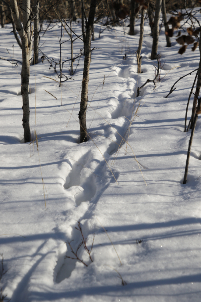
One of my neighbours going his own way – a fox, I think, though the tracks were large enough to perhaps be coyote.
I shot the final photo at 2:45.
Here’s how Strava saw that 3.3-km walk. My comment was “Rough, soft trail – tough going.” The last few hundred meters were quite difficult, and I slept for an hour and 45 minutes when I got home.
Thanks for sharing your ‘backyard’ a little bit more in this post. Your usual attention to detail in the photos (using your new camera body?) and oh boy on the prices for one bedroom condos… ! Always have enjoyed the river travel asides in your posts, so much of that history is still so recent and in memory of so many elder residents. Air cargo and highways post WWII changing the face of so much bush Alaska and Canada.
Thanks, Brad. Getting the new camera body has worked out great.
Another interesting and great read with my morning coffee, thank you!
Thank you, Patsy. I hope your day goes well 🙂