Return to Summit Creek and International Falls
This is Part 2 of the journal from a wonderful 4-day trip to the White Pass with the motorhome last week. The trip was so varied that I had to break it into 2 blog posts to accommodate a selection of the 381 photos remaining in the folder after editing.
Thursday, July 2nd, was gorgeous right from the start, though still windy. The first photo looking south across Summit Lake was shot at at 08:18 – I slept in pretty late after being out with my camera until midnight:30.

I’ve thought a few times that a particular spot along the trail down to the beach at Summit Lake looked like an old Cat trail. I finally decided to investigate that idea, and it is indeed an old Cat road. I followed it for about half a kilometer from Summit Creek north – it averages only about 100 meters east of the highway, and no doubt dates from an early survey (1950s?).

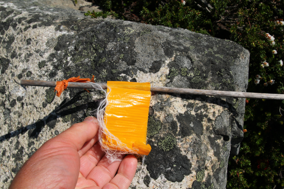
The trail marker found along the Cat road is made of bamboo, about 20 inches long.
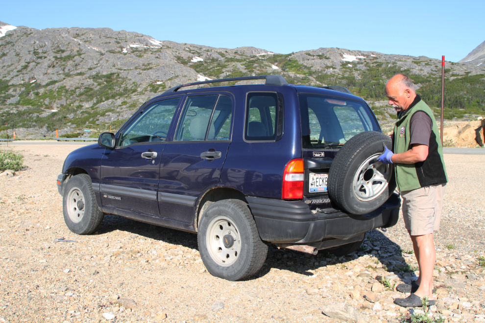
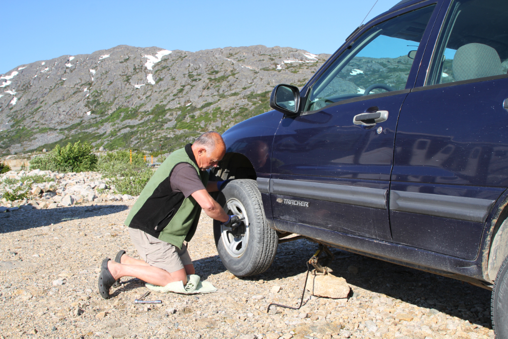
It’s not all fun and games. On Wednesday night I noticed that a tire on the Tracker was disintegrating. It was still holding air but there were steel cords hanging out all over a section of it. So I put the spare tire on.
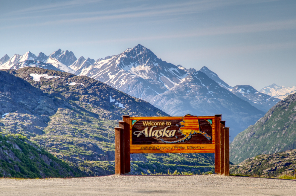
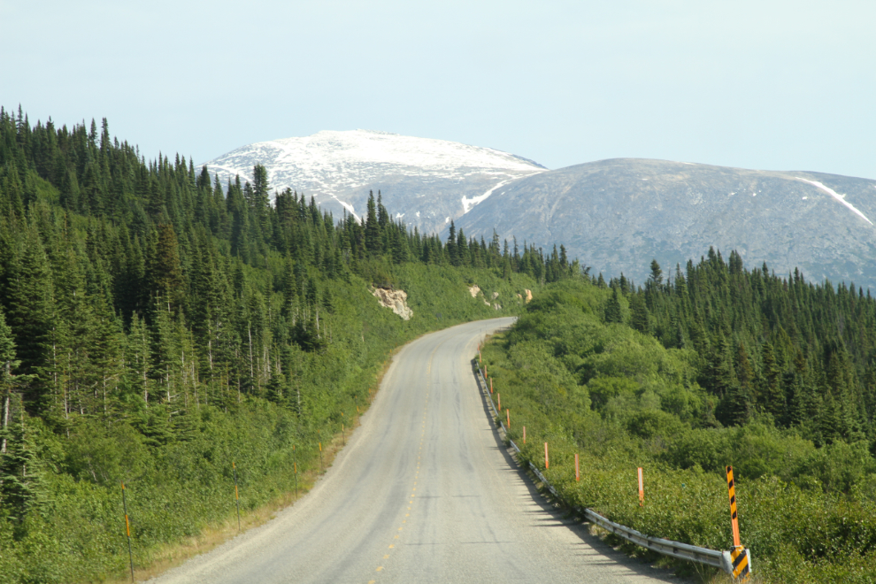
Just before 09:30, I went for a short drive to the south looking for photos. I have lots of photos of the “Welcome to Alaska” but I don’t think I’ve shot this angle before.
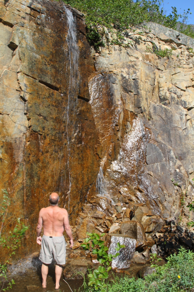
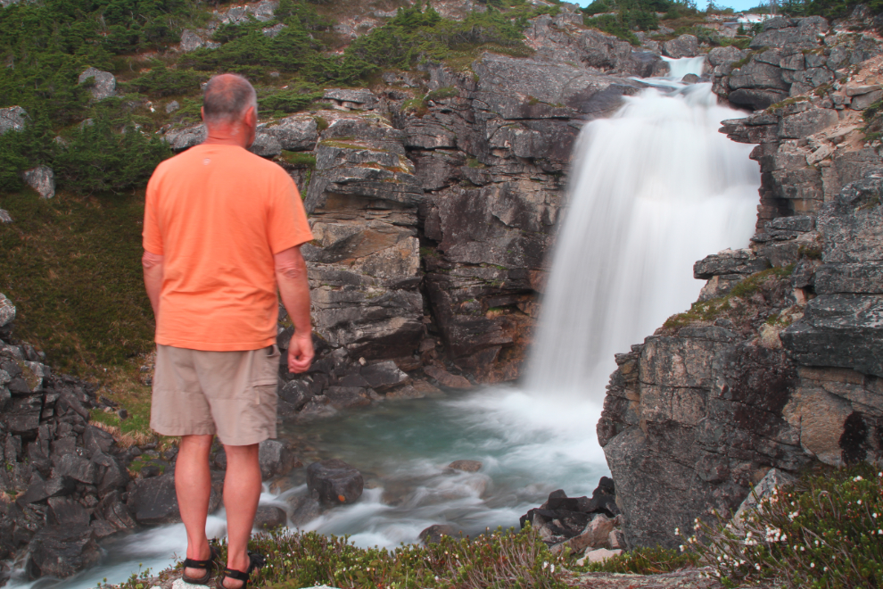
In a normal summer when there’s a lot of traffic, stopping on the narrow shoulder to have a close look at this lovely little waterfall north of the summit isn’t reasonable.
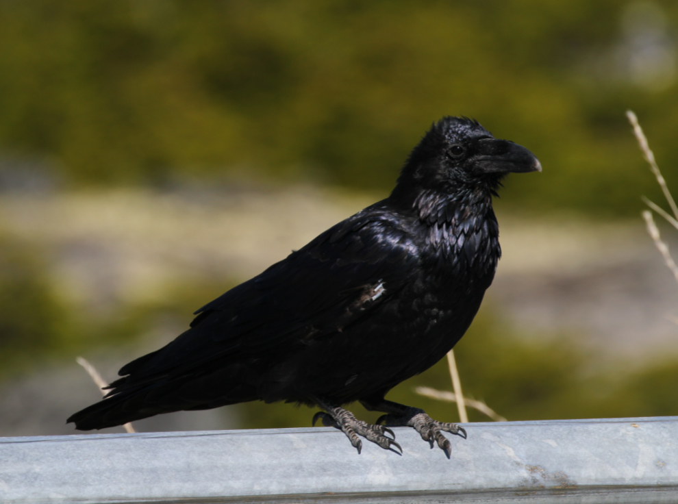
Back at the RV, this young raven (Corvus corax) stopped by for a chat for a few minutes. I love ravens. I guess most Yukoners do – by popular vote, it became the territory’s official bird in 1985.
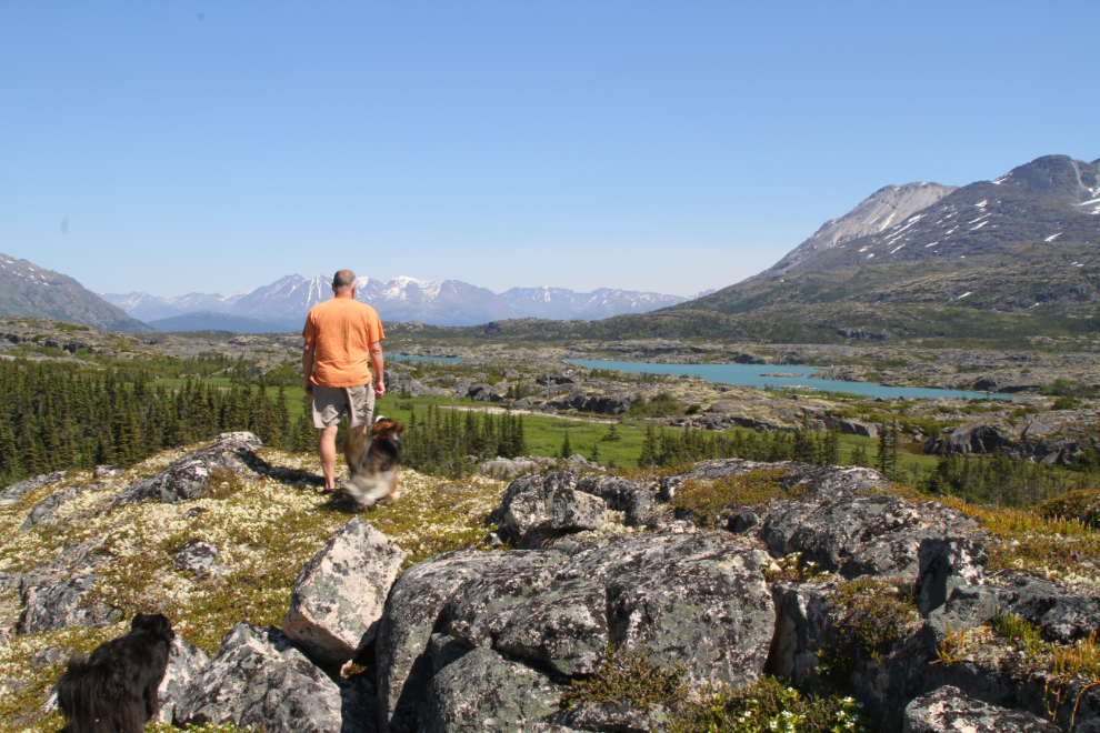
Just after noon, I took the dogs back down to the beach.

On the beach, looking up Summit Creek to Taiya Peak. The wind was too strong to be enjoyable, so we didn’t stay long.
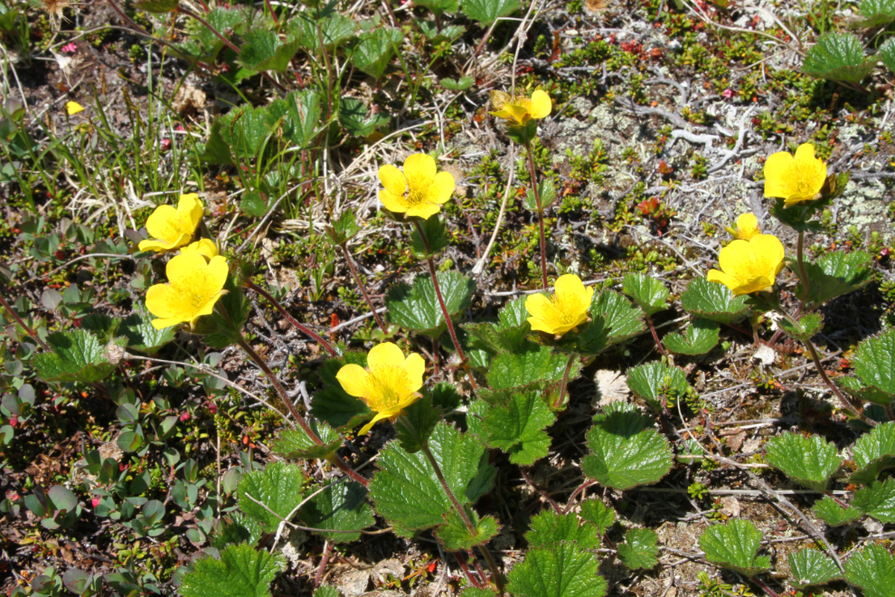
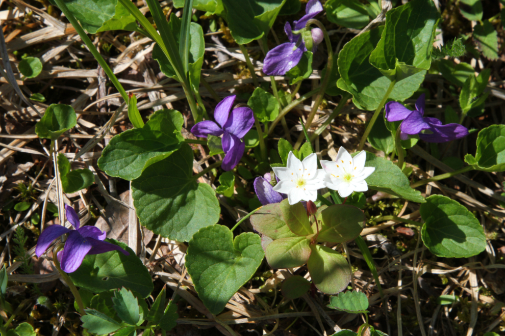
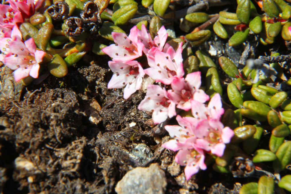
I decided that a hike up Summit Creek might get us out of the wind. That hike began in a lovely area of wildflowers.
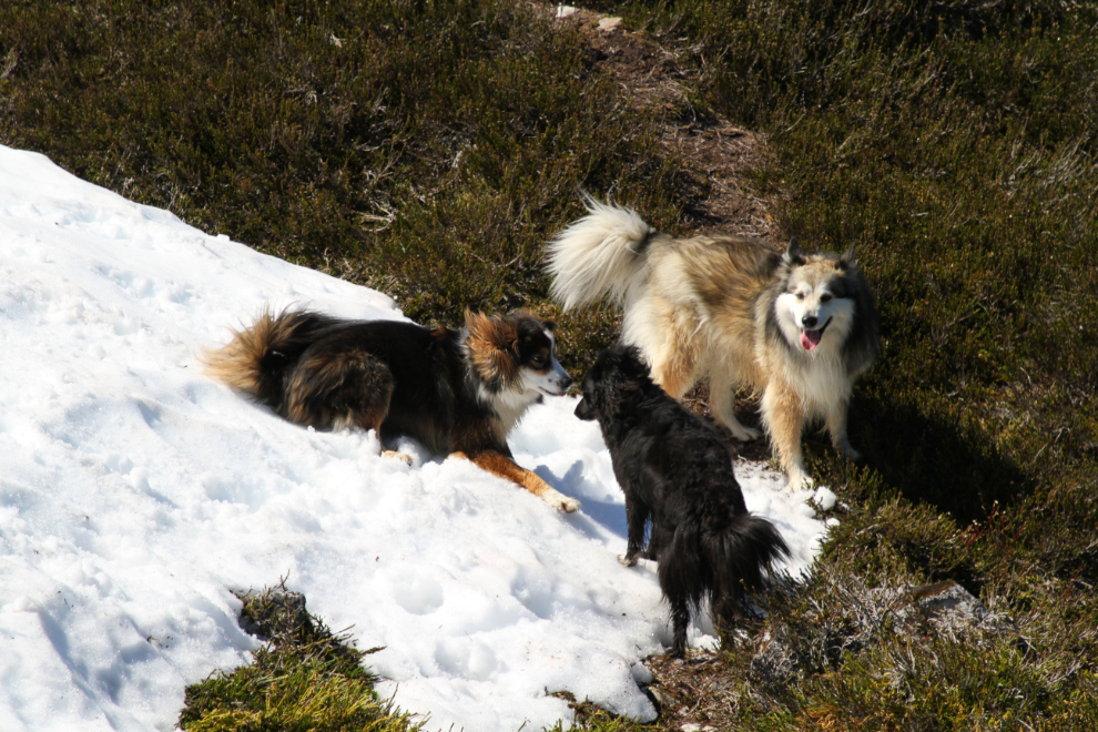
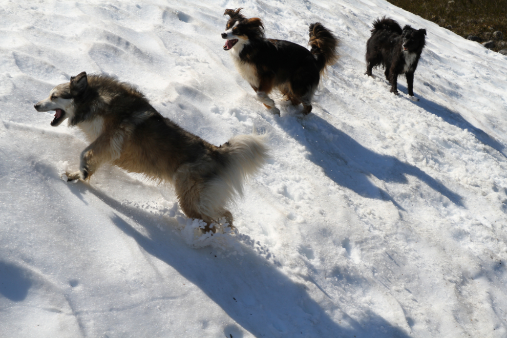
The pups seem to all agree that beaches are great but it’s tough to beat July snow to play in!
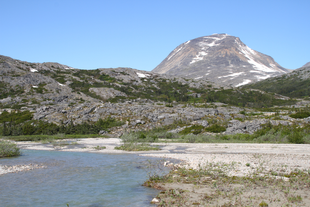
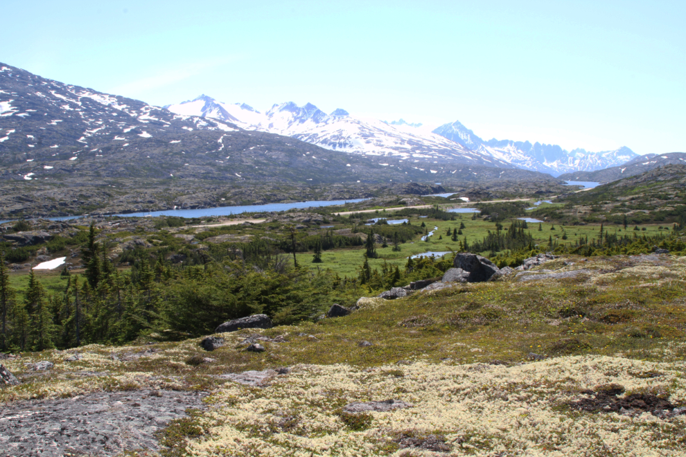
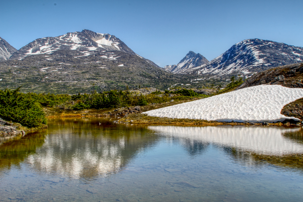
The trail up Summit Creek is seldom used and isn’t easy to follow as it wanders up and down across the alpine. There are excellent views along most of it. The next photo looks to the north over Summit Lake.
And this one looks to the south over Summit Lake. It was now 2:30 and we were pretty much out of the wind.
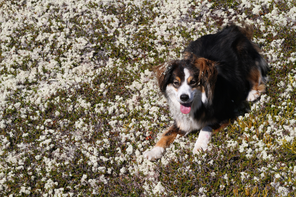
That’s the snow patch the kids were playing in a few minutes earlier.

Granite seemed to be enjoying himself 🙂
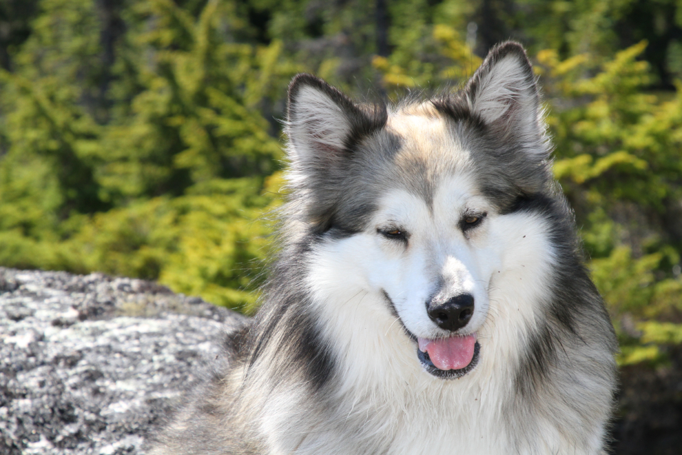
The snow-play pooped out Bella, but as soon as I started moving, she was back in the game.
At 2:40 we had dropped down to the accessible part of Summit Creek between the main canyons. I thought about continuing, but decided not to push it – this was my longest hike in many months.

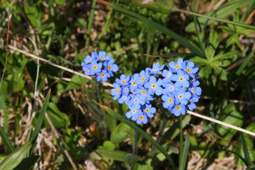
There were patches of flowers everywhere. These tiny beauties are Alpine forget-me-not (Myosotis alpestris), made Alaska’s state flower in 1917.
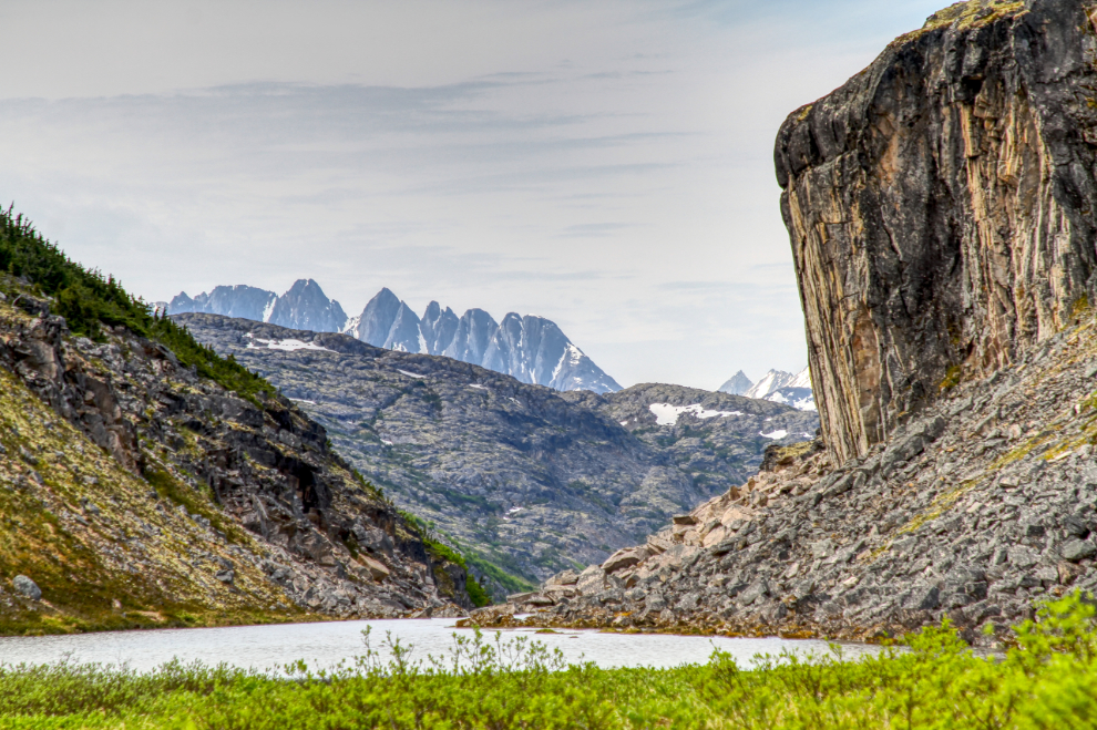
Back at the highway, I decided I wasn’t ready to quit yet, so I drove south along the highway until I found a spot I’d never explored before. The route started at this little lake beside the highway.
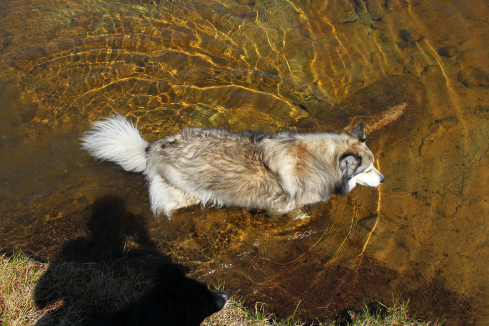
We climbed a ridge just over 100 feet high, walked along the top of it, and dropped down the other side. Bella was getting warm, and was into the first pond we came to, to cool off.
After a short play in this snow on the shore of Summit Lake, which we reached at 3:40, we headed back to the motorhome.

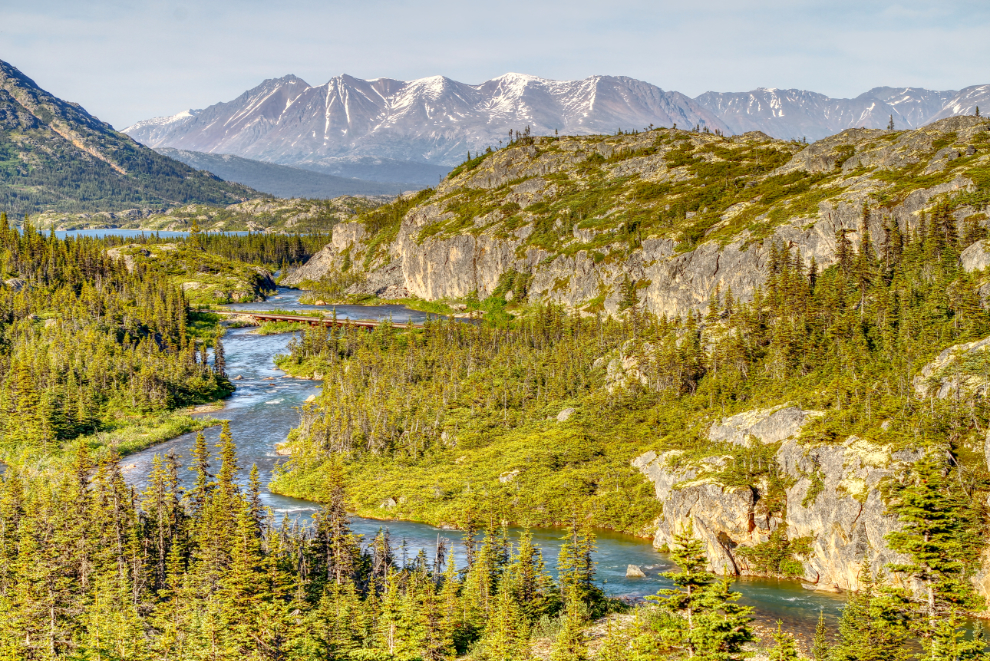
At 7:30 pm the light was beautiful, and we went for a short drive to the north with this specific photo in mind. This is at Km 34.3 of the highway. I love watching trains go across that bridge over the Thompson River.
I had missed the moon rising the night before, but was determined to catch it this night. I slept for a couple of hours, then got up just after 10:00 pm. I went for a drive to the south, to be in roughly the position where it would rise over the peaks I wanted. The light was wonderful, and I took quite a few photos along the way. The next photo was shot at 10:23.

I first spotted a sliver of the moon at 10:48, then spent half an hour racing back and forth between Summit Creek and Outhouse Hill to get 36 images at various locations as it rose. This was the first in the series, at 11:01, with the last of the sunlight still hitting the peaks.
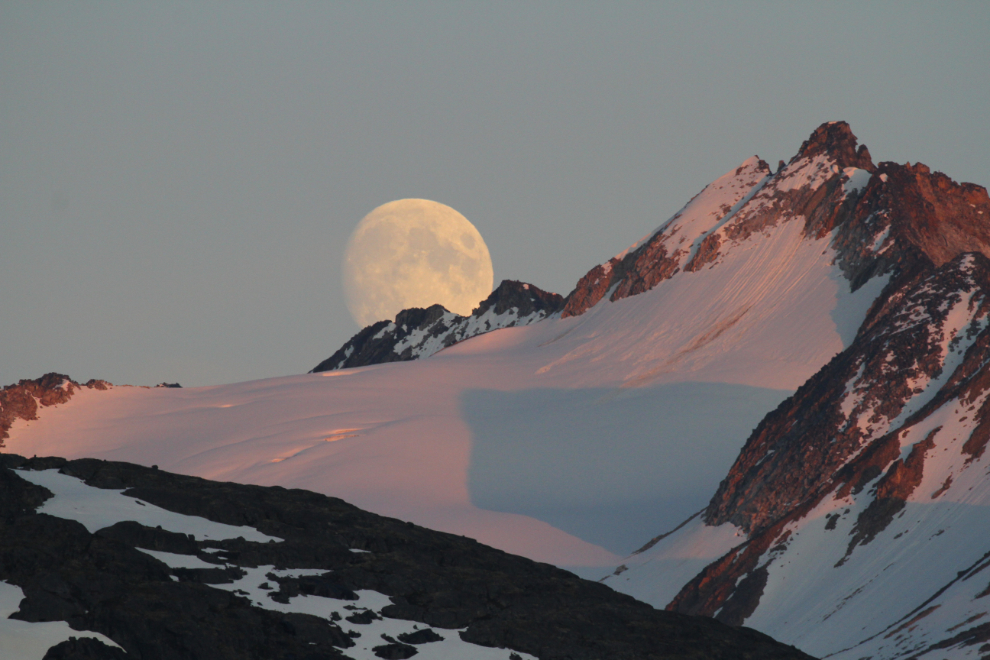
The next photo was shot at 11:22. Five minutes later, I took my final shot and headed back to the RV.

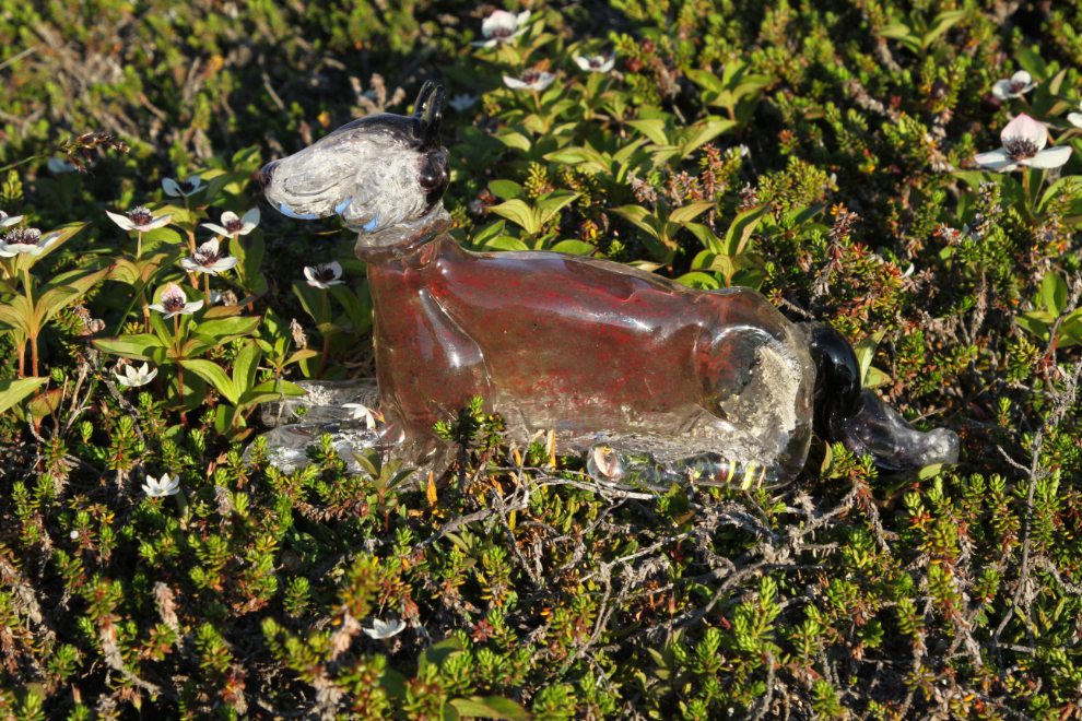
I had brought “Glass Monty” with me on this trip, and early on Friday morning, I took him to an area filled with granite and flowers for a portrait session.
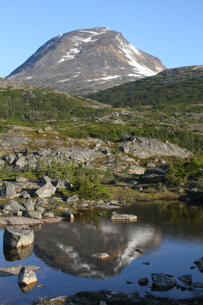
At that same location, I shot this portrait of Taiya Peak.
Back at the motorhome, it was time for breakfast, first for the fur-kids, then for me.

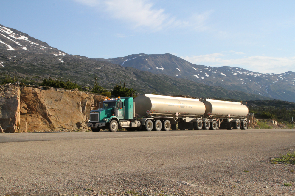
At 08:08, the first semis of the day began going by – the border opens at 08:00 and there are usually 4-6 trucks waiting for that. North 60 is the main fuel hauler from the fuel barges that dock at Skagway – they have their own stations throughout the Yukon.
Although the day started off to be beautiful and I had big plans for the day, clouds quickly blew in, with a very cold wind. That happened in the few minutes it took me to drive to the International Falls trailhead, where I planned a short hike without the dogs for some specific photos of the first waterfall. I almost went back to the rig for a jacket, but decided I would only be a half-hour or so, so kept going.
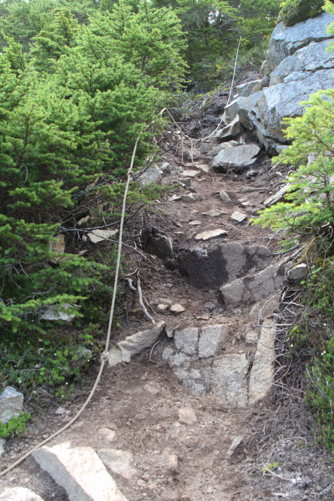
The trail starts with an extremely steep drop off the highway. Ropes were installed by a Skagway tour company, but anyone who trusts ropes that aren’t inspected regularly, probably shouldn’t be there. Then you have to wade across a creek – this was the deepest I’ve seen that crossing. This was shot at 08:56.

The waterfall was in full flow. It can be seen from the highway, and it was that heavy flow that prompted this hike.’
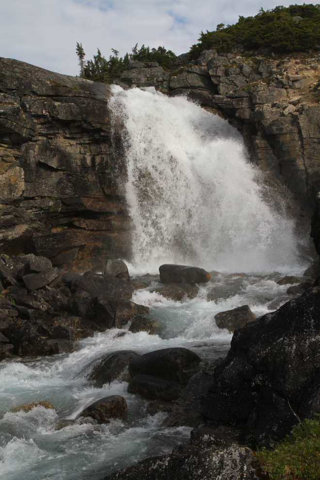
I played around at this waterfall for half an hour, trying various settings and locations. Keeping the lens dry from the waterfall’s spray was a challenge. The next photo was shot with a ½-second exposure, f20 and ISO 100 to silken the water.
At 09:30, I started back towards the highway. Although the steep drop/climb discourages many people, the International Falls trail really is a great hike, whether you just go for an hour or all day. These cliffs just south of the trailhead are unique.
The next photo shows the climb back up to the highway.
I had had enough of cold and wind, so when I got back to the motorhome, I broke camp, got the rig set up, and we headed for home.
The border crossing was very simple. Two new questions have been added to the usual list – did you meet anyone from Skagway, and were any goods exchanged? Nope and nope, and away we went. The final photo was shot on the climb up to Log Cabin, at 10:30.
Going through the photos makes me want to go back to Summit Creek right now, but no, I’m home for a few days. Take care, and stay safe, my friends.