The push for home: Stewart to Whitehorse in 23 hours
Having decided to go home a few days early so that Cathy and I could go away for an extra-long Canada Day weekend, and with no good weather where I wanted to stop, I was home in Whitehorse 23 hours after leaving Stewart. The route is simply up Highway 37A (the Glacier Highway), then the Stewart-Cassiar, then the Alaska Highway.
I pulled away from the Bear River RV Park right after breakfast and a short walk, at 07:45 on Day 61 of the trip, June 25th. Home was 1,026 km away. Click here to open an interactive version of the map below in a new window.
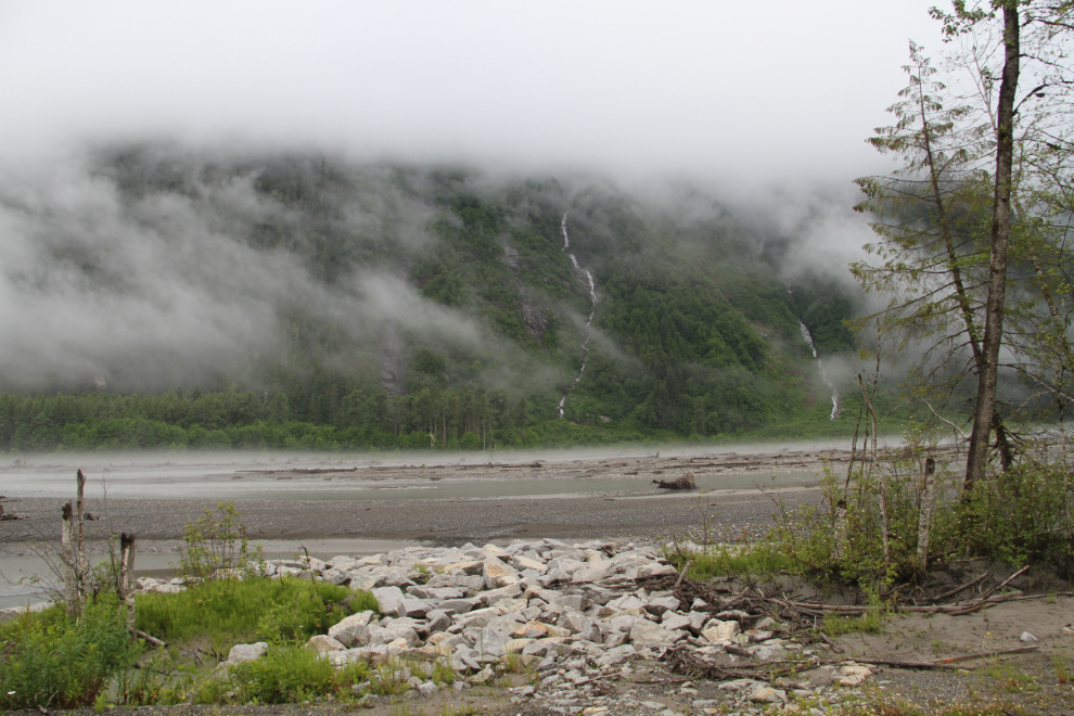
There are places where the bed of the Bear River appears to be a few inches above the level of the highway. The rock in the foreground was put there a couple of years ago to stop erosion when an overflow channel moved too close to the highway.
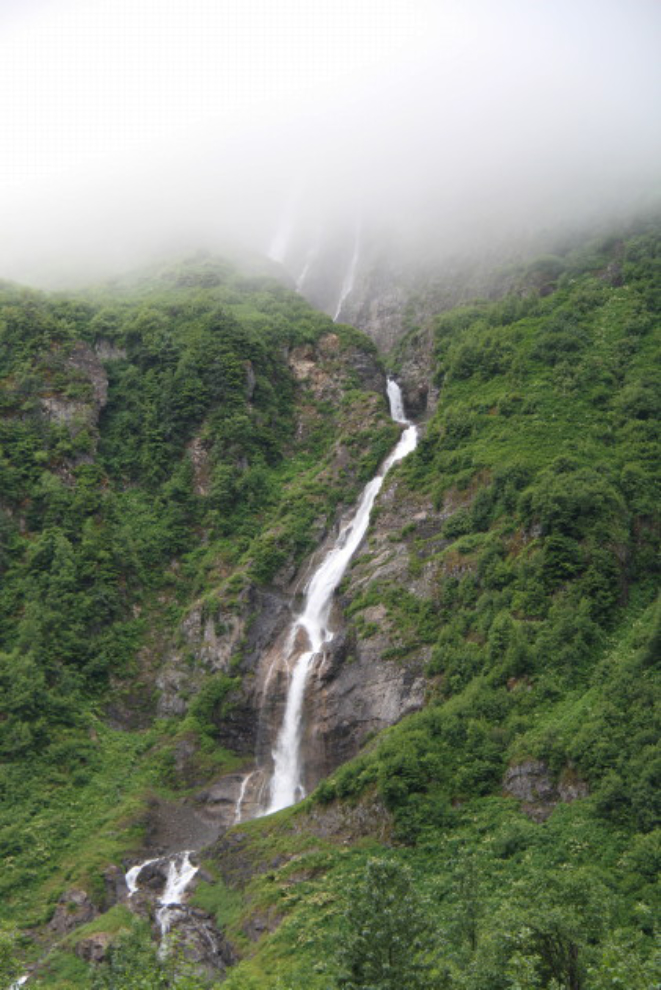
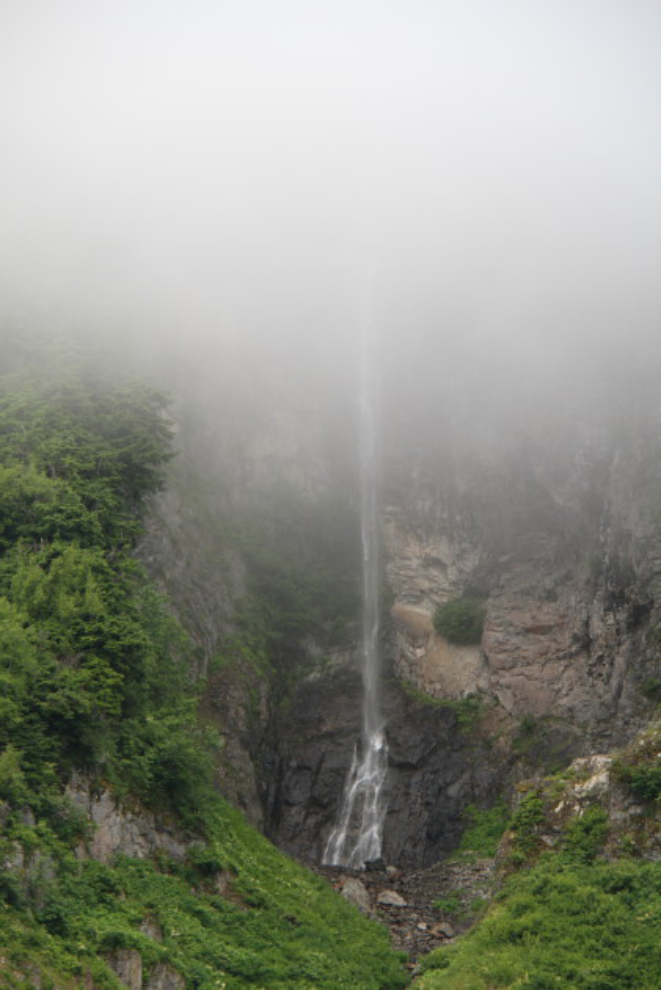
I was confident that I’d have the highway to myself for at least a couple of hours, so just stopped on the road to get photos of a couple of the best waterfalls along the Glacier Highway.
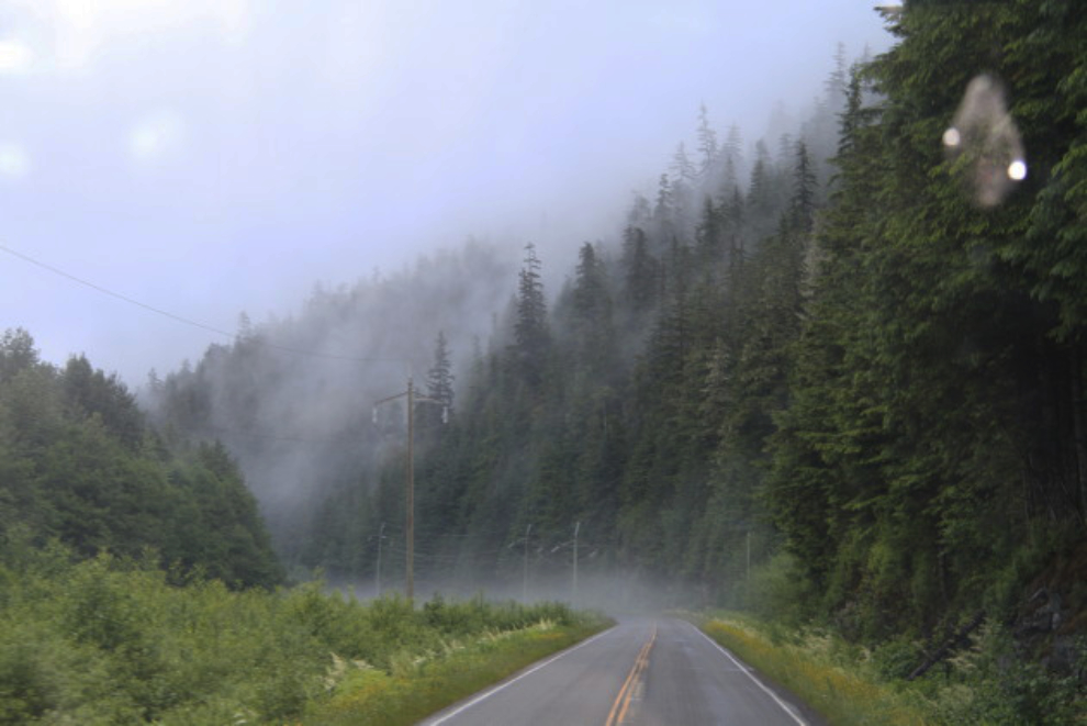
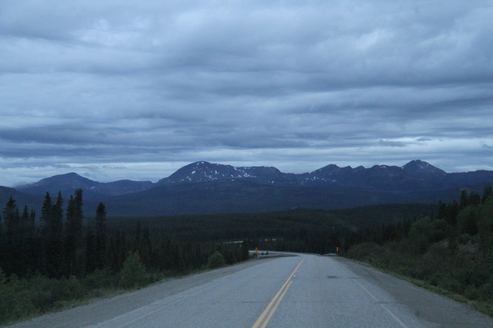
Low cloud and fog rising off the Bear River may have made the peaks vanish, but was stil pretty interesting visually.
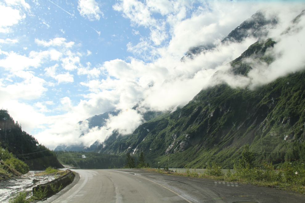
At Km 40, the skies started to clear as I passed the Bear Glacier.
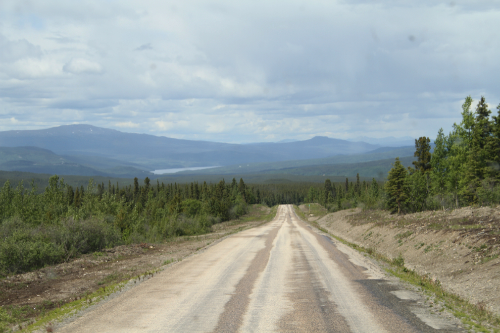
At 10:08, we reached the Km 265 post of the Stewart-Cassiar Highway, which is 106 km north of Meziadin Junction where the Glacier Highway meets it.
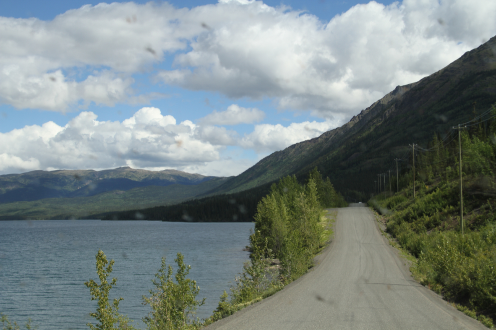
Along Eddontenajon Lake at about Km 396, at 11:45. Rain showers were frequent enough to keep most of the bugs washed off the windshields, so I didn’t often need to stop to do that.
Dropping down from Gnat Pass to Dease Lake at Km 475. I’ve overnighted a couple of times at a pullout at Lower Gnat Lake, a particularly scenic spot on the Stewart-Cassiar Highway, just above the treeline. This time, I just stopped to take Bella and Tucker for a walk. My GPS said that I’d be home at 9:36 pm, so I was fairly sure that I’d push through.
I had a long fuel stop at Dease Lake, Km 488 – it was very busy. But while there, I had a long chat with a couple from Atlanta with a big motorhome towing a Jeep and dirt bike. They had just spent a few days in Whitehorse and couldn’t say enough how much they loved it. That’s always nice to hear, and we do hear that sort of comment a lot from travellers.
I noted as I drove along Dease Lake that the Sawmill Point Recreation Area would be a good place to launch a kayak on a nice day to paddle over for a look at the ghost town of Laketon.
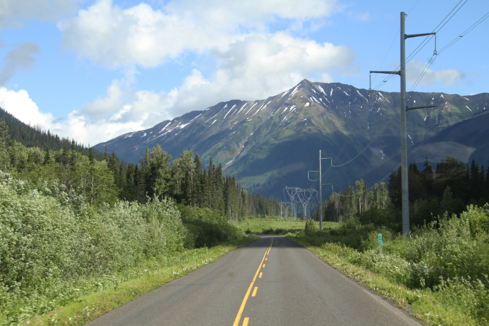
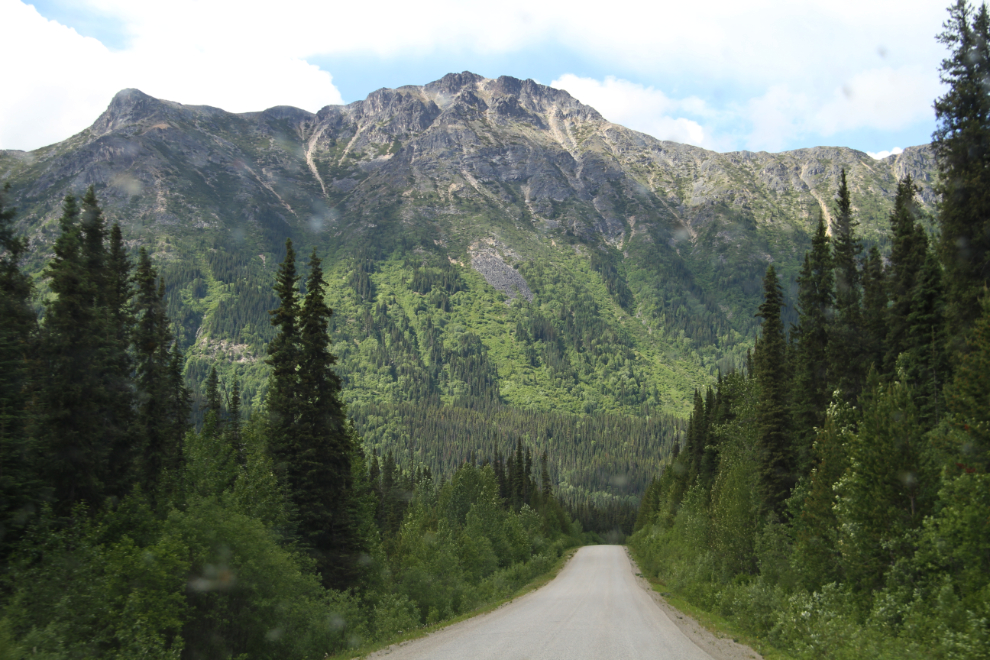
A scenic stretch of mountains at about Km 580.
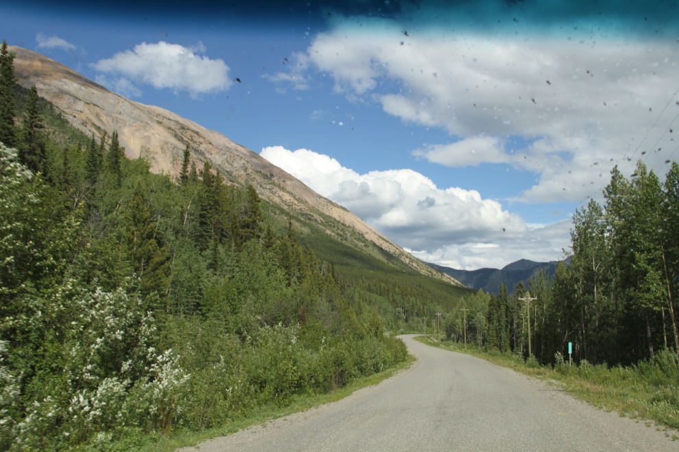
Km 620, 6 k south of the small community of Good Hope Lake, at 4:20. A minute after taking the next photo, I was surprised to see a sheep alongside the highway.
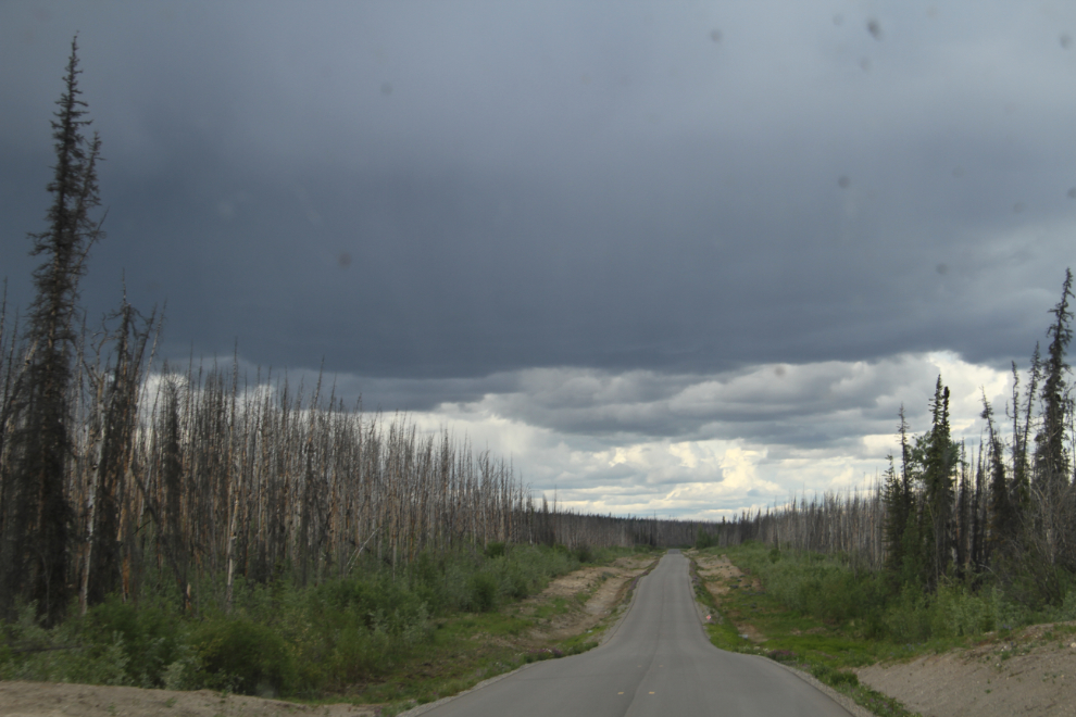
We stopped for dinner at the large Beaver Dam rest area at Km 649. Large fires burned through here in 2010 and again in 2012.
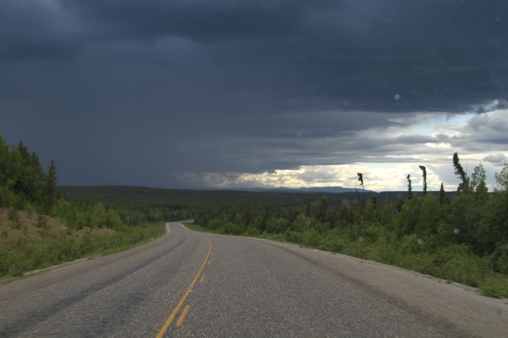
Heading west on the Alaska Highway at 6:05, I felt like we were almost home, but some of the storms were pretty wild and I was getting tired.
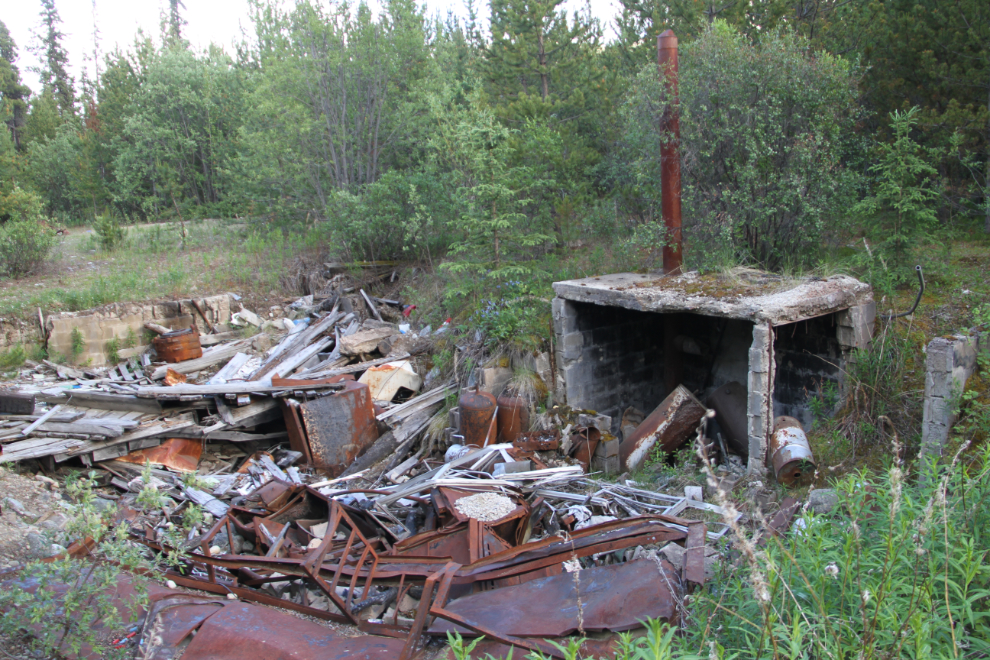
At 7:10, I decided that the site of the long-vanished Message Post Lodge at Km 1111 would be a good place to spend the night. Bella and Tucker played and played and played in the large paved parking lot!
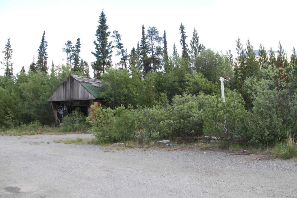
It’s a lovely piece of property between two small lakes, but there’s only wreckage left now. It closed just before I started driving bus on the Alaska Highway in 1990.
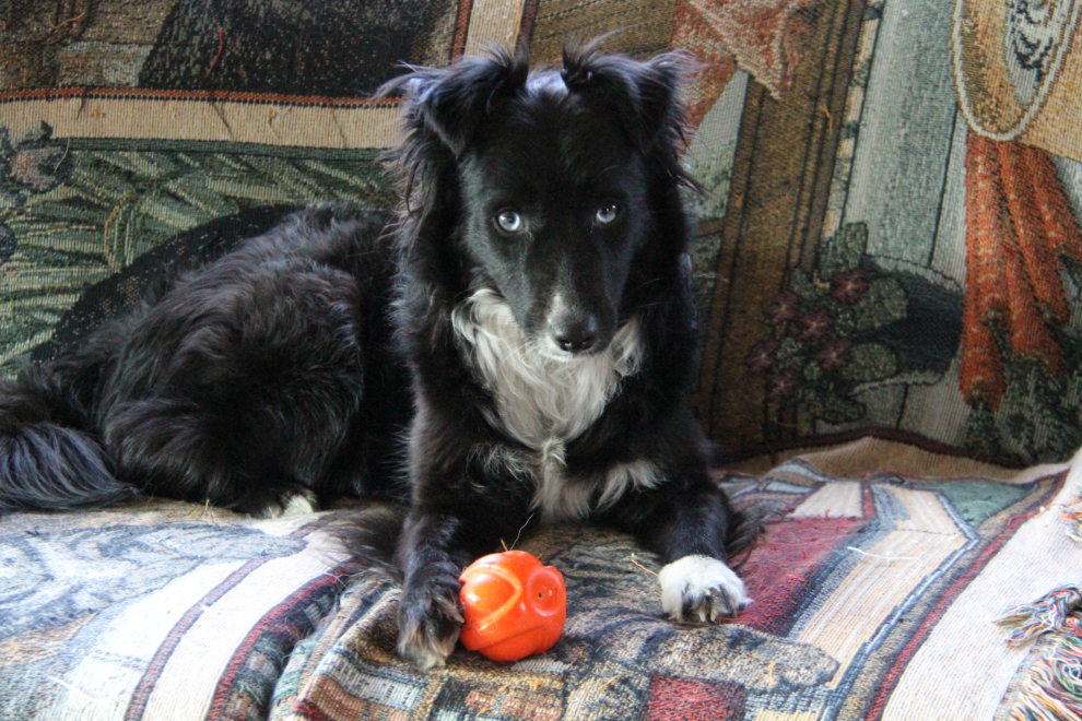
After 8:00 pm and Tucker wasn’t quite finished playing ball yet. But we were in bed shortly after that. I planned on a very early start so that we could see Cathy before she left for work the next morning.
We were back on the road just after 03:30 on Day 62 of the trip, June 26th. I shot this right at 04:00 – back in The Land of the Midnight Sun.
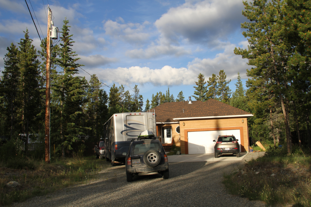
I pulled into our driveway right at 07:00. Our awesome Adventure was over after 62 days on the road!
As I did after our 56-day Grand Adventure last year, I’ll be posting a summary of the costs and experiences next.