Spectacular fjords and the Alta rock art site, Norway
This is blog post #14 from our tour of Europe. On Sunday, July 6th, we cruised through spectacular fjords to and from Alta, and visited the UNESCO-listed prehistoric rock art site near Alta.
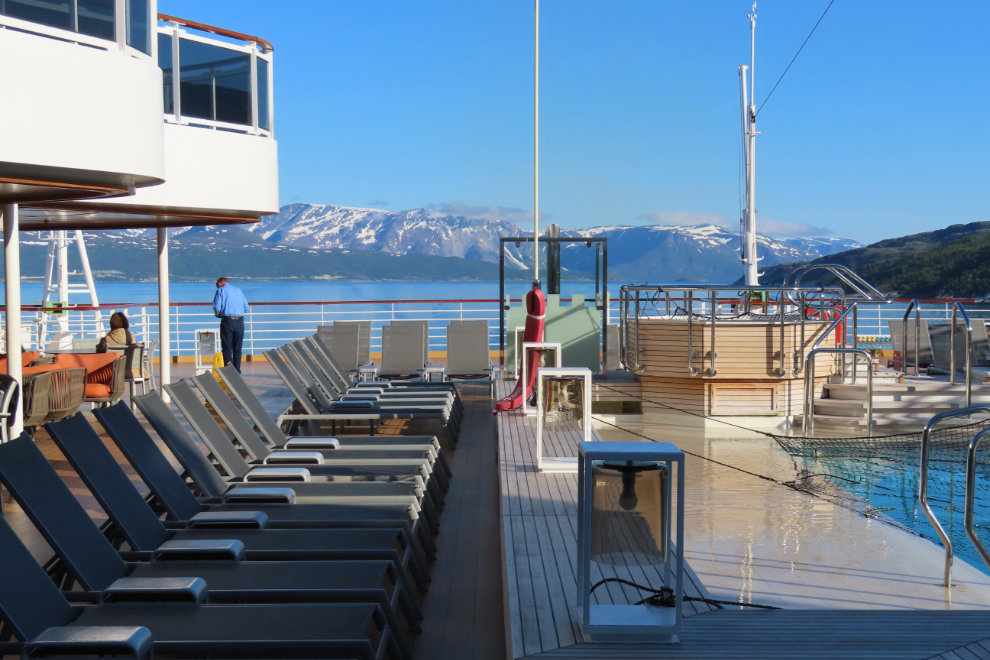
My day began early as always – the first photo was shot at 04:25 ater I peeked out from our very dark cabin then rushed up to Deck 9. When it comes to curtains, Cathy and I are literally day and night. I’ve never used curtains, while Cathy needs dark to sleep.
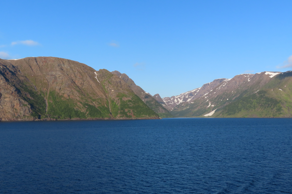
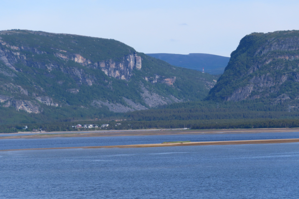
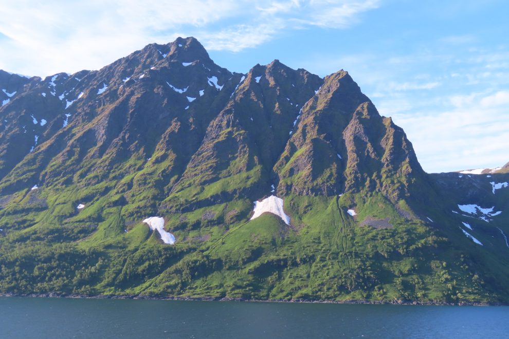
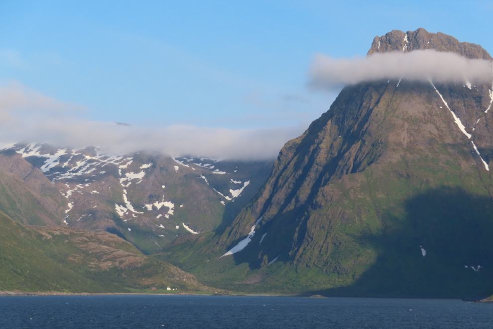
Alta Fjord, over 30 km long, is renowned for its beauty, and cruising it is a special point in our listed itinerary.
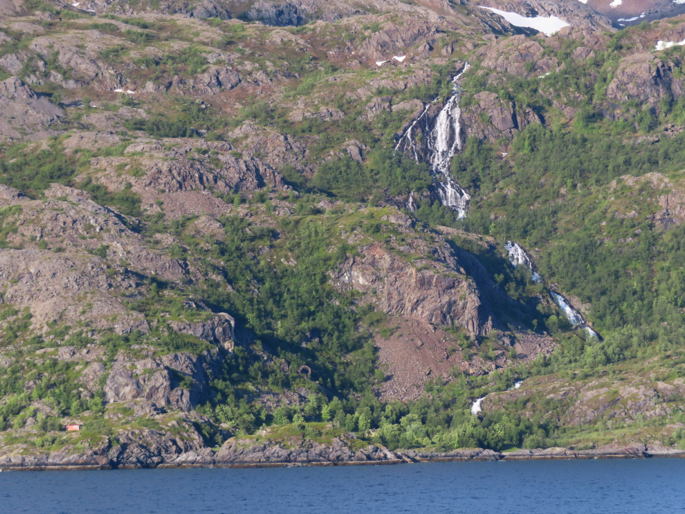
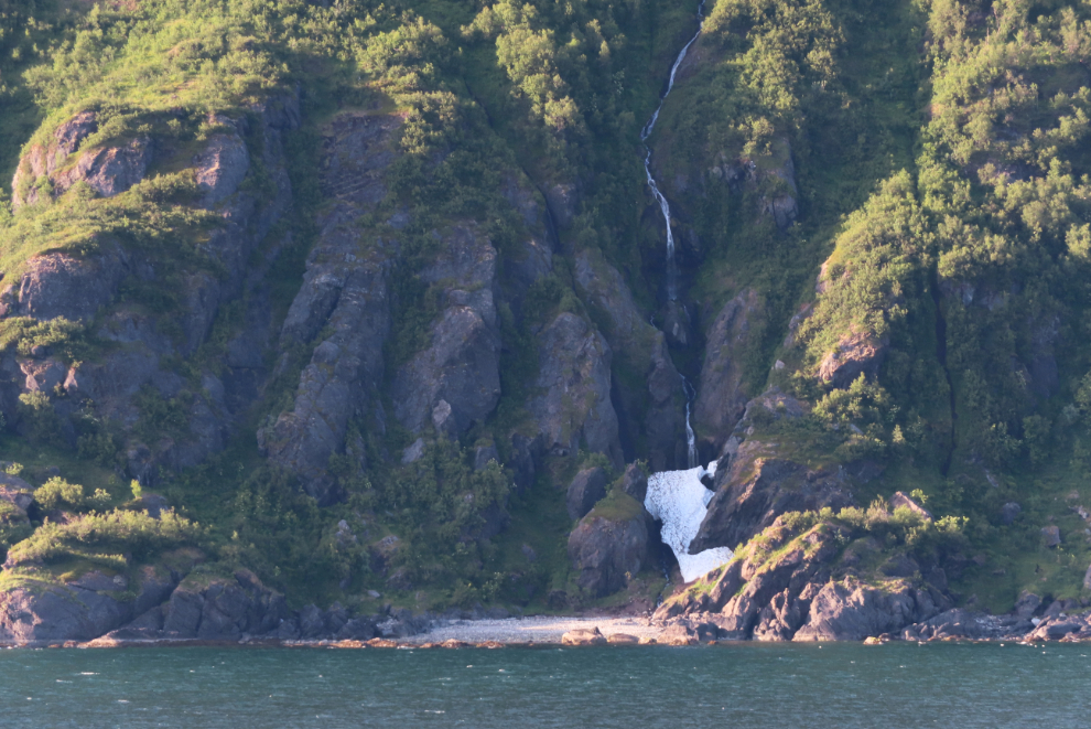
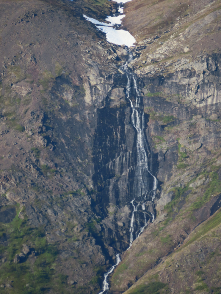
Waterfalls always get my attention. Alta Fjord doesn’t have many, but there are some really fine ones.
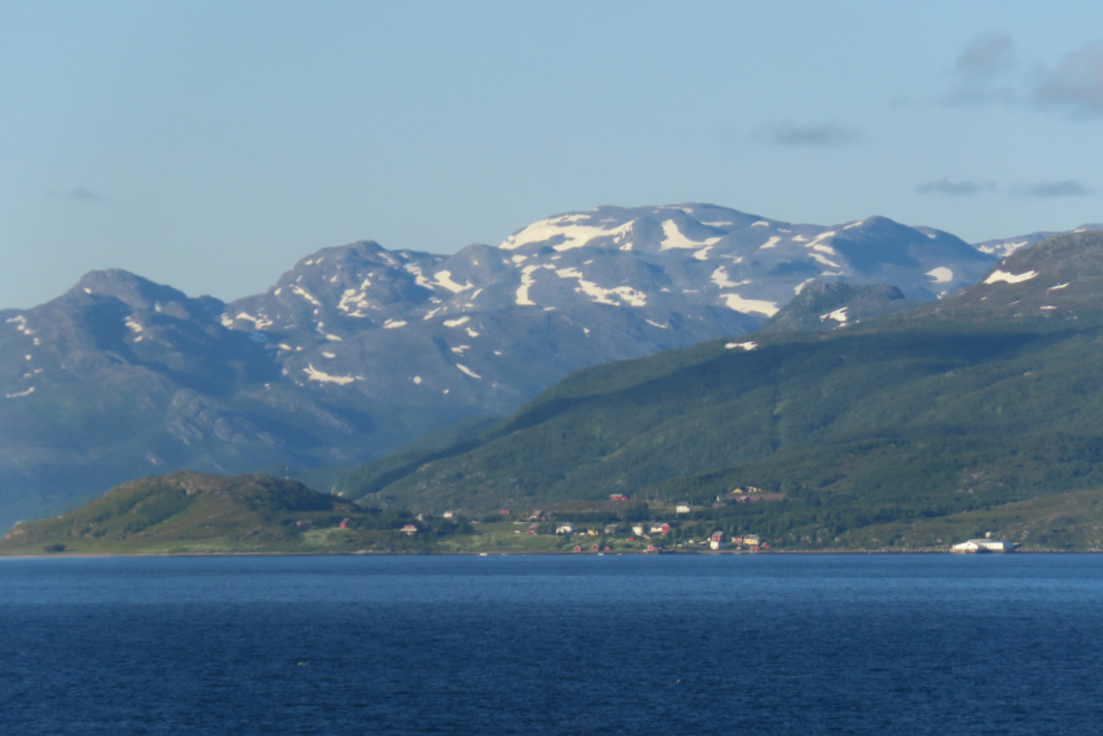
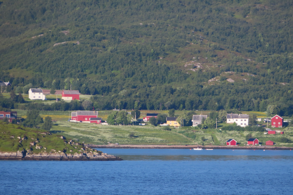
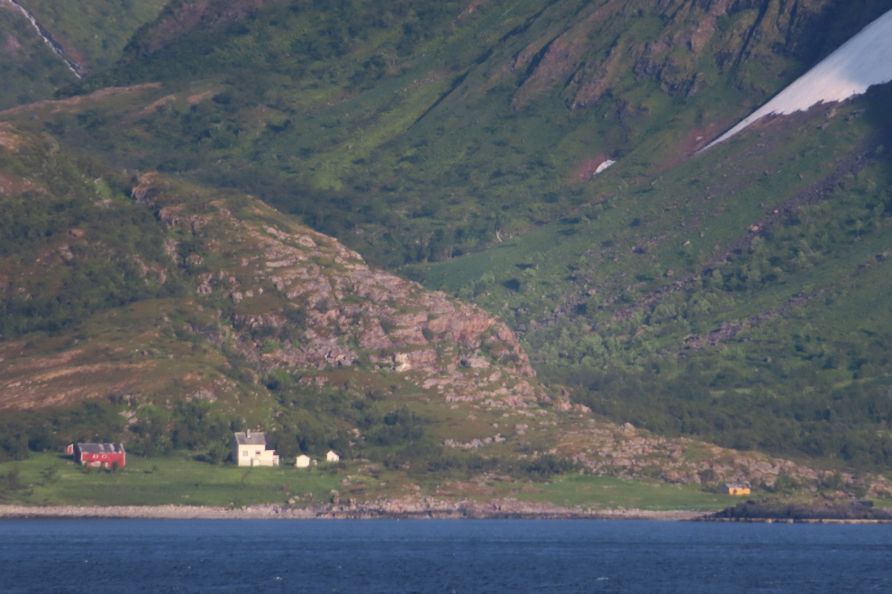
The tiny community of Isnestoften.
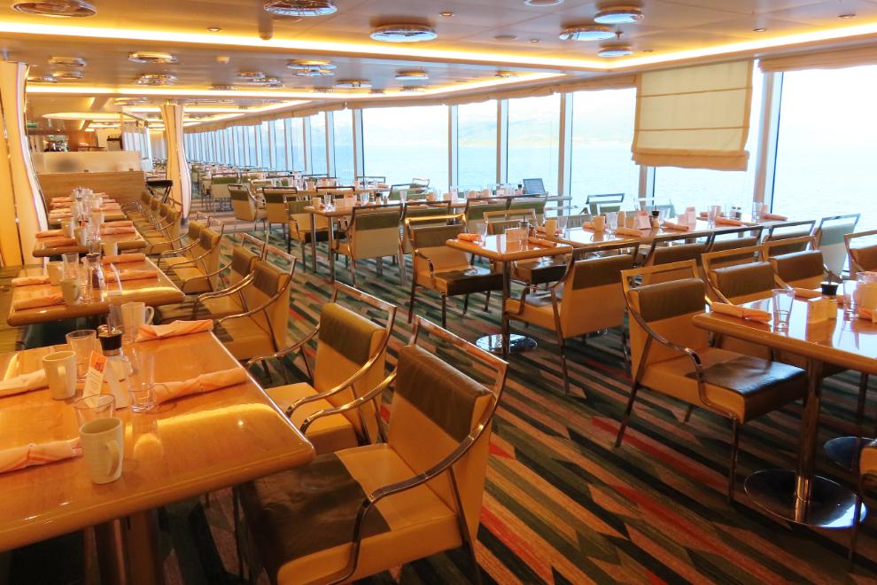
While there are better places on the ship to work, the Lido buffet area is very convenient and an outside photography spot is only 100 meters or so away when I see something that requires a good shot (not shot through glass). The Lido opens at 06:30 but I’m gone by then.
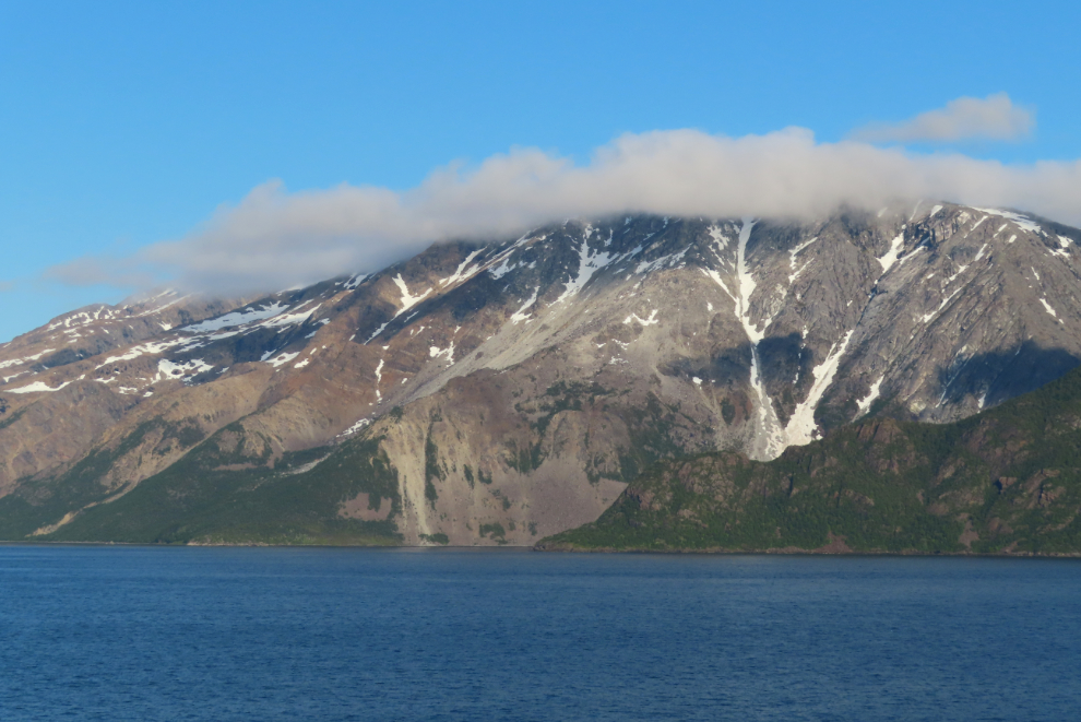
That’s an impressive landslide area.
There are people tucked into every place that might be habitable. That’s the biggest difference between the coast of Norway and that of northern BC and Alaska.
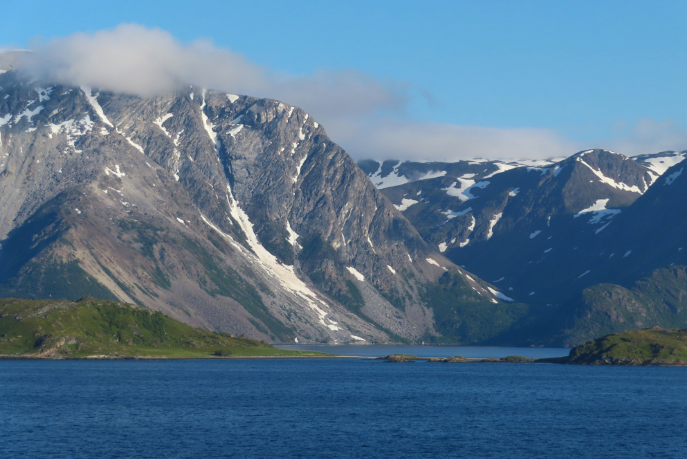
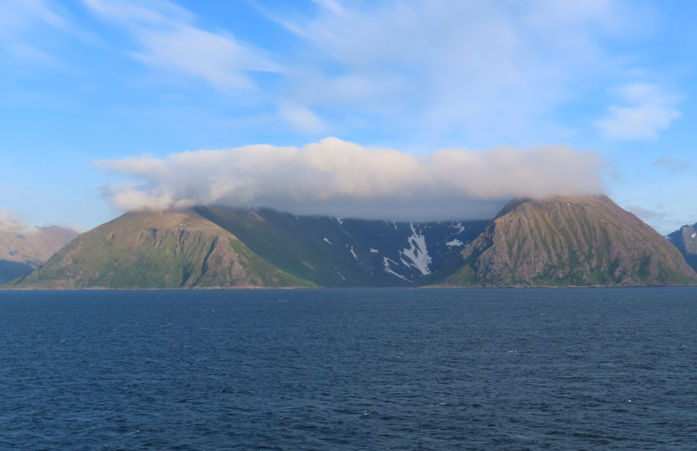
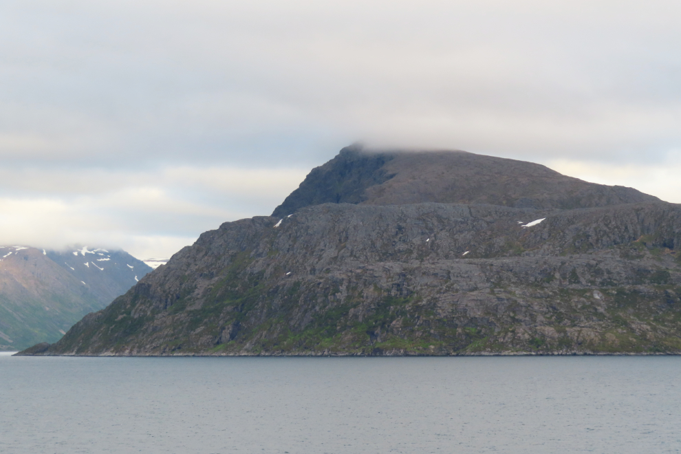
This was the most spectacular of the side fjords I saw. It was now 05:47.
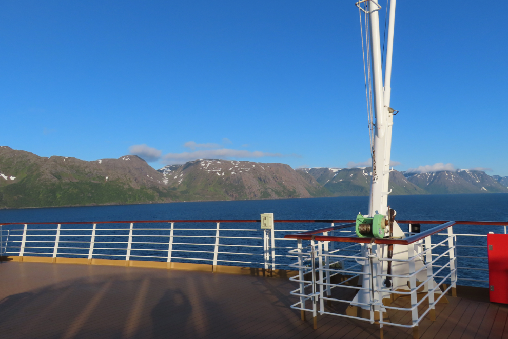
Looking back at 06:30 – time to go to our cabin and get ready for breakfast.
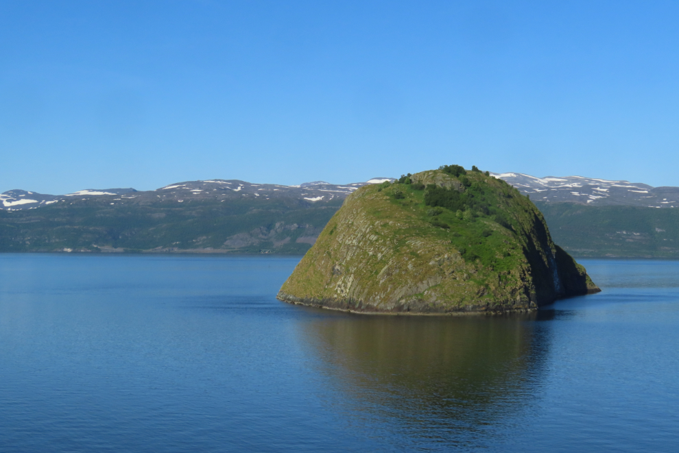
There are a couple of islets just north of Alta – unless there’s an easier slope on the other side, this one is pretty much inaccessible.
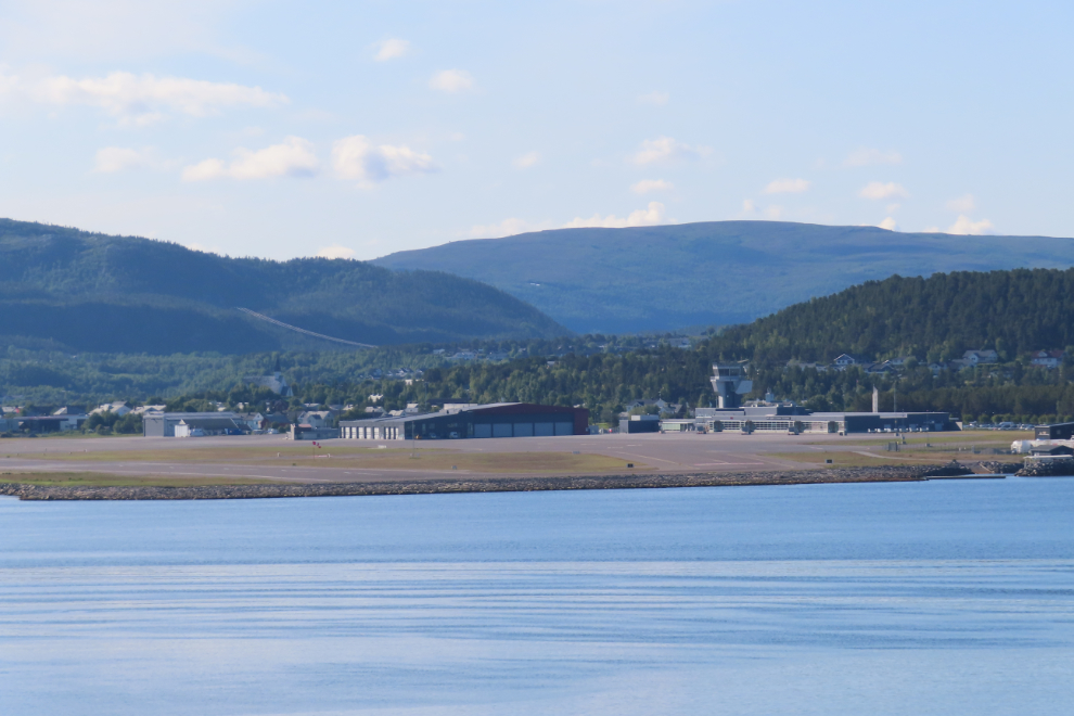
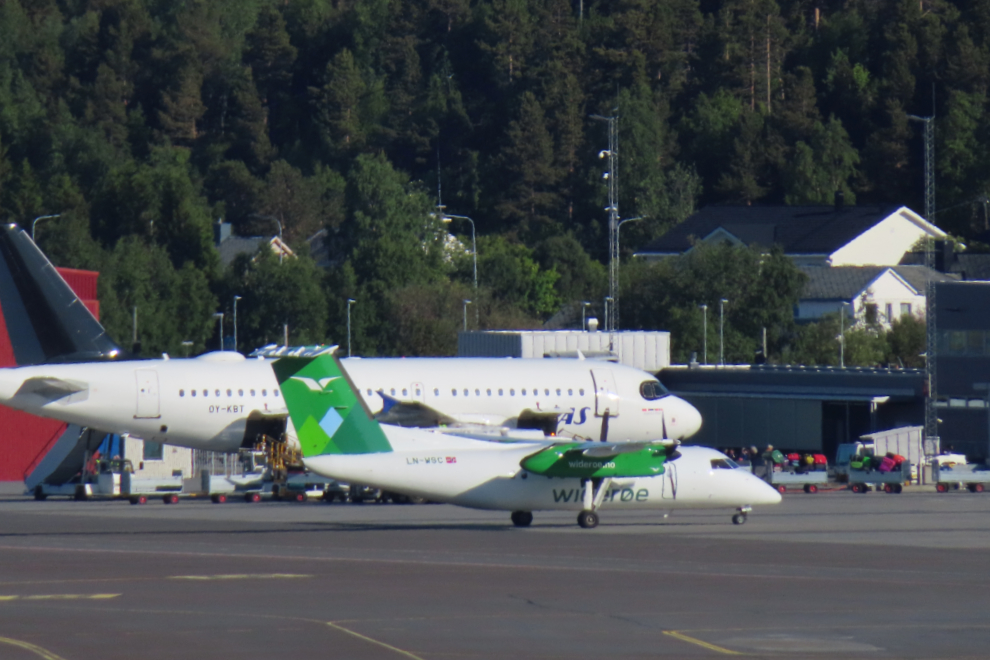
At about 07:30 we anchored at Alta, just off the approach path for planes landing at the airport. It would be a great plane-watching spot except for the fact that only one arrival was scheduled, at 1:45 that afternoon 🙁
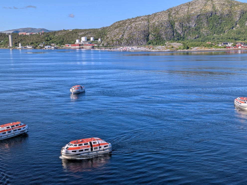
Our lifeboats were soon launched, ready to start shuttling people to shore.
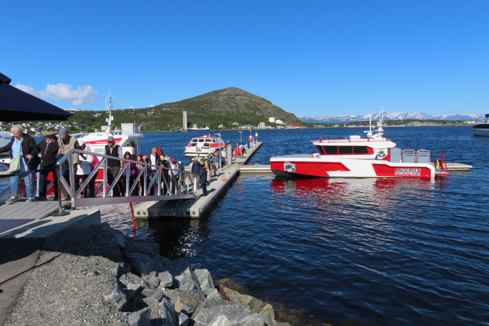
Our Club Orange upgrade got us priority tendering as one of the benefits. While that would be useful at some ports, that wasn’t the case here, so we let others in a rush get off, then we got our tickets. We landed at the Alta dock at 09:15. We had decided to go to the Alta Museum, which would require two busses. That’s a scuba-dive boat to the right in this photo – I’ve seen some crystal-clear waters so I expect there’s some superb diving.
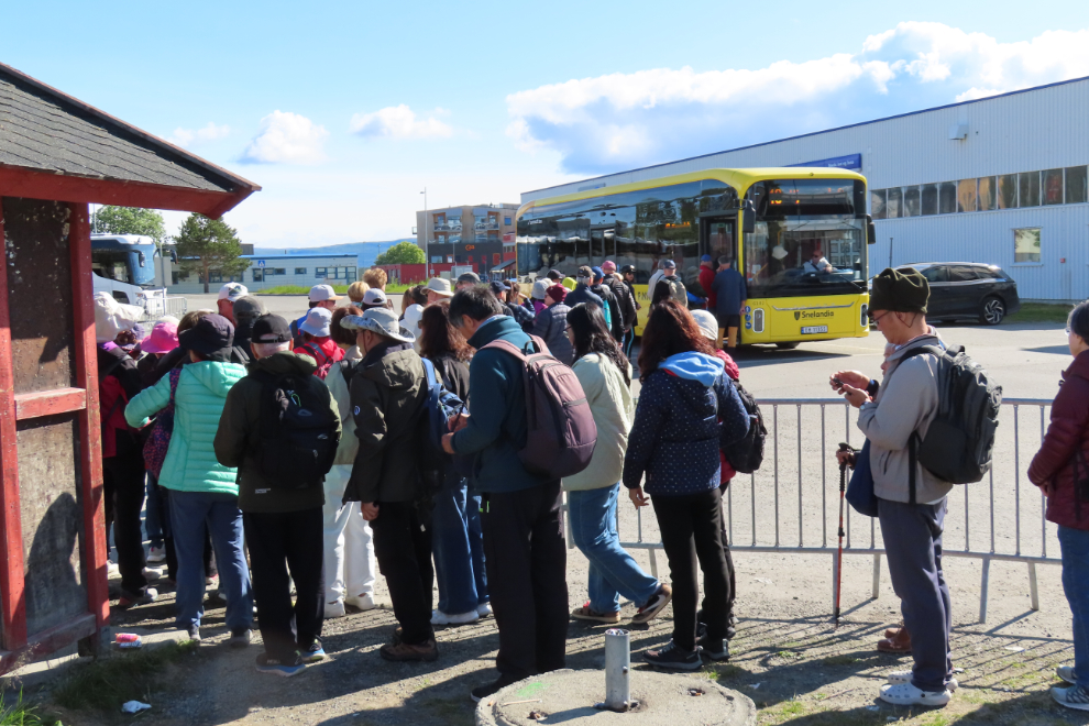
The first bus was a shuttle to the town’s visitor centre and transportation hub. This is where dealing with cruise ship crowds is a reality.
Fifteen minutes after I shot the photo above, we were about to depart from the dock.
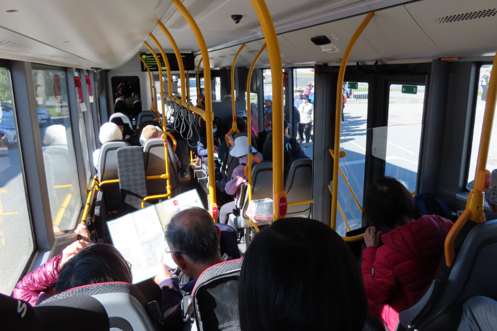
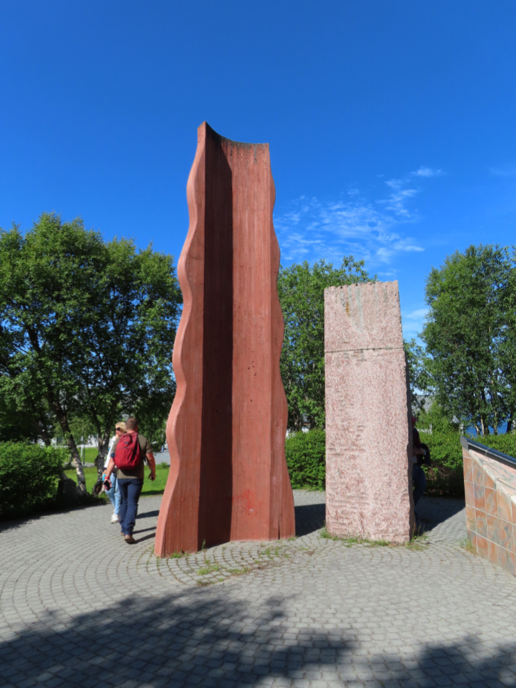
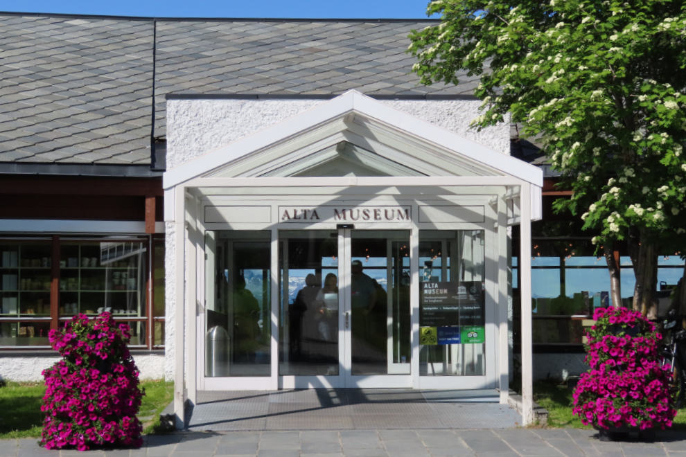
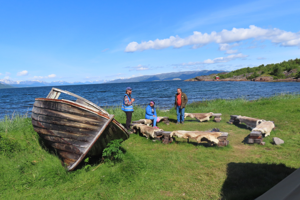
It didn’t take long to catch a transit bus, and we were soon at the museum. This modern rock art is along the path to the entrance.
The lineup to get in was fairly short, and 4 clerks got us processed quickly, with an excellent introduction to the property, and an extremely good guidebook to take with us, that explained many of the rock art pieces along each of the two paths available (we walked both – about 3 km total).
“Alta has Northern Europe’s largest concentration of rock art made by hunter-gatherers. The rock art comprises both rock carvings and rock paintings made from 7,000 to 2,000 years ago. The rock art of Alta was inscribed onThe World Heritage consists of four sites with rock carvings (Hjemmeluft, Kåfjord, Amtmannsnes and Storsteinen) and one site with rock paintings (Transfarelv). Over the years, other rock art sites have also been discovered in Alta. These are not included on the World Heritage List. Hjemmeluft, where the World Heritage Rock Art Centre – Alta Museum is located, is the largest area, and the only one made accessible to the public. UNESCO’s World Heritage List in 1985 as the only prehistoric monument in Norway.”
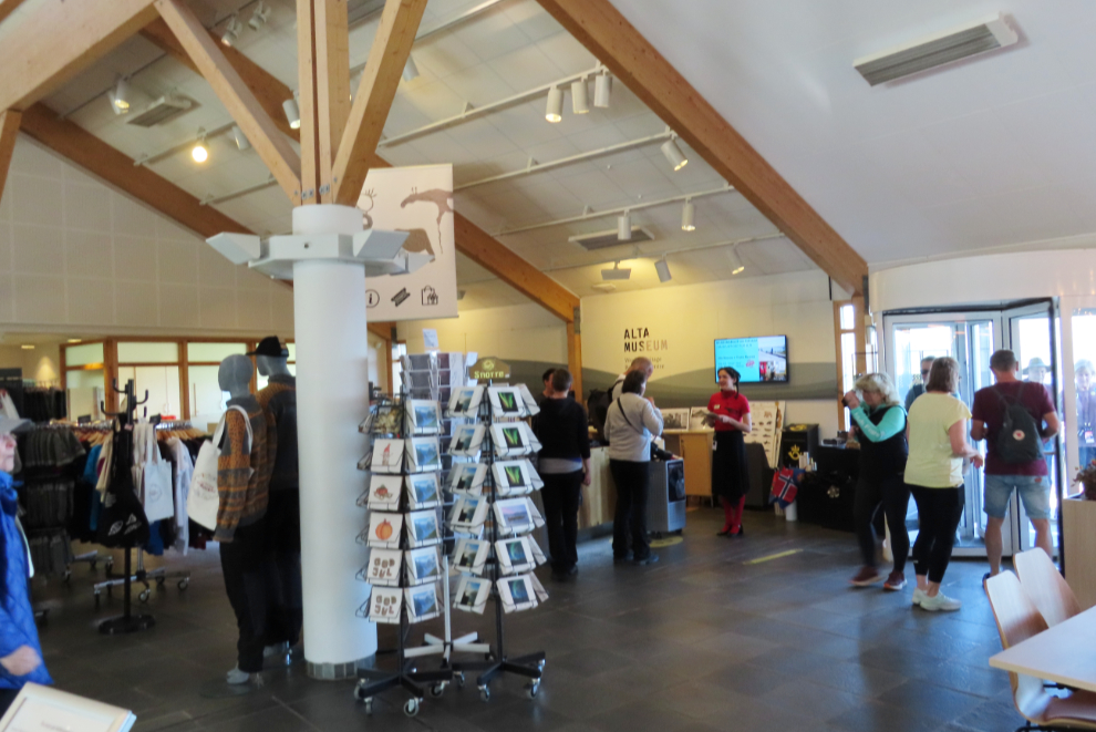
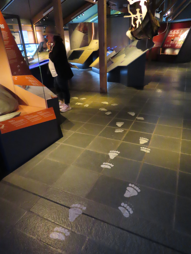
It was suggested that the museum displays inside would help to understand what we would see on the walk, and that was definitely true. Bear paw-prints on the floor guide you along the correct path through the displays.
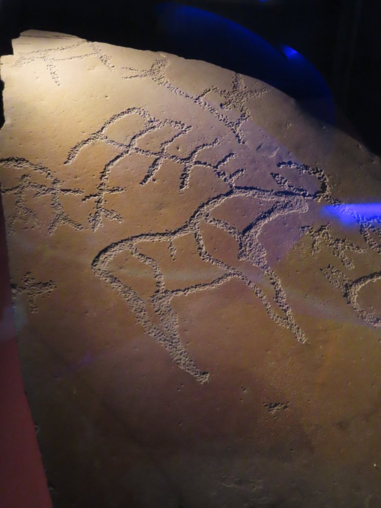
A replica of one of the pieces shows an extremely good example, enlarged, with perfect lighting. It was explained that the two paths outside are very different from each other. The rock art along the first one has been enhanced, painted so that they can easily be seen. The second path makes you work, with no enhancing of the art, so of course we saw far fewer people on it.
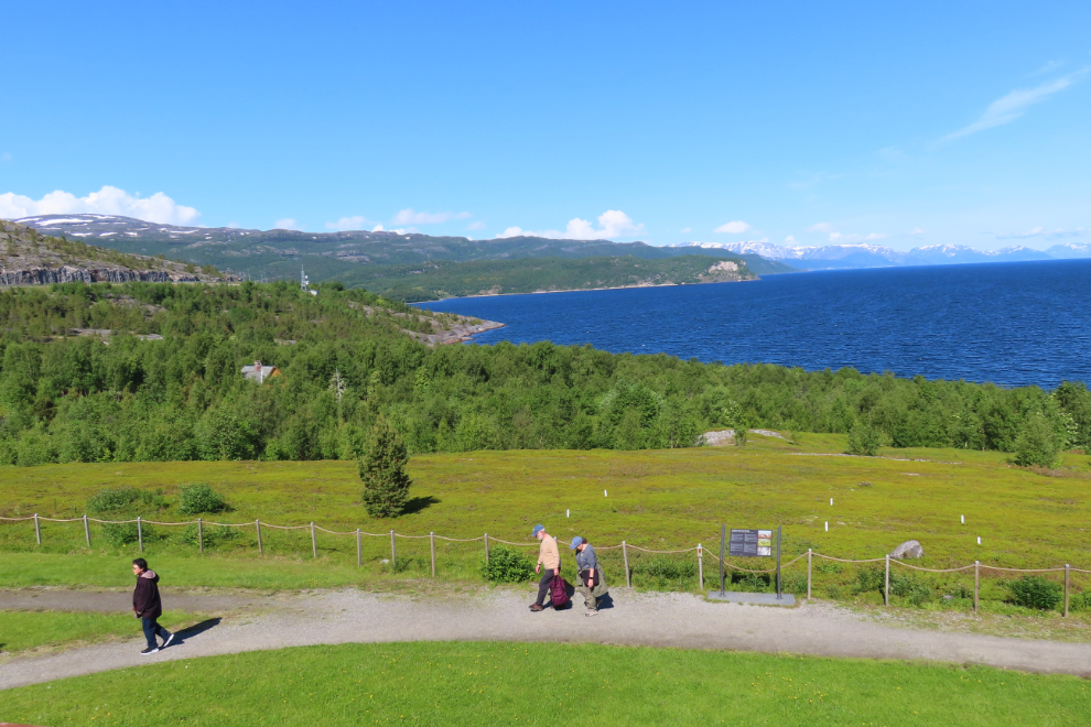
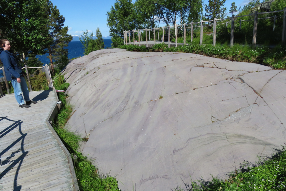
Looking down on the path from the deck as we were about to start the walk.
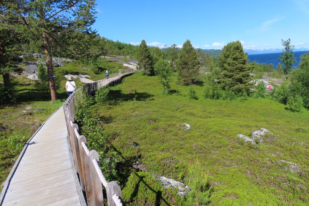
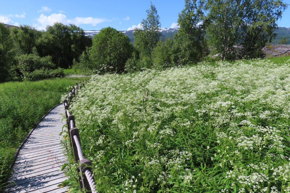
The start of the rock art sites is about a 5-minute walk away, through a lovely forest where the smell was amazing! It may have been tiny white flowers along the trail, or it may have just been the whole forest working together, but it was quite remarkable.
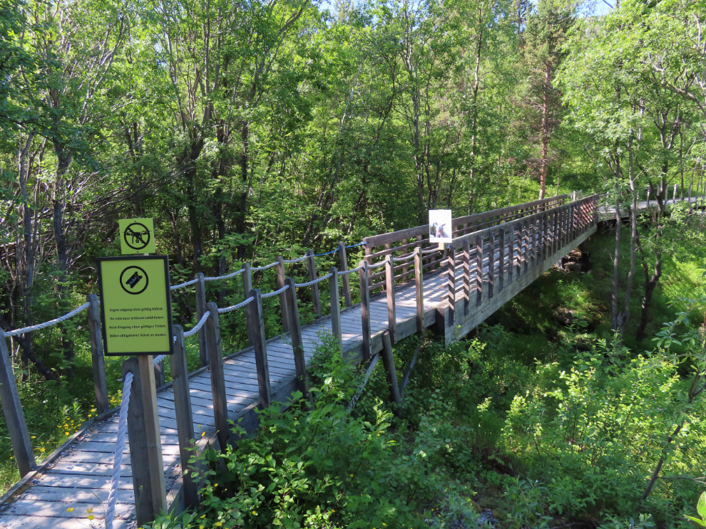
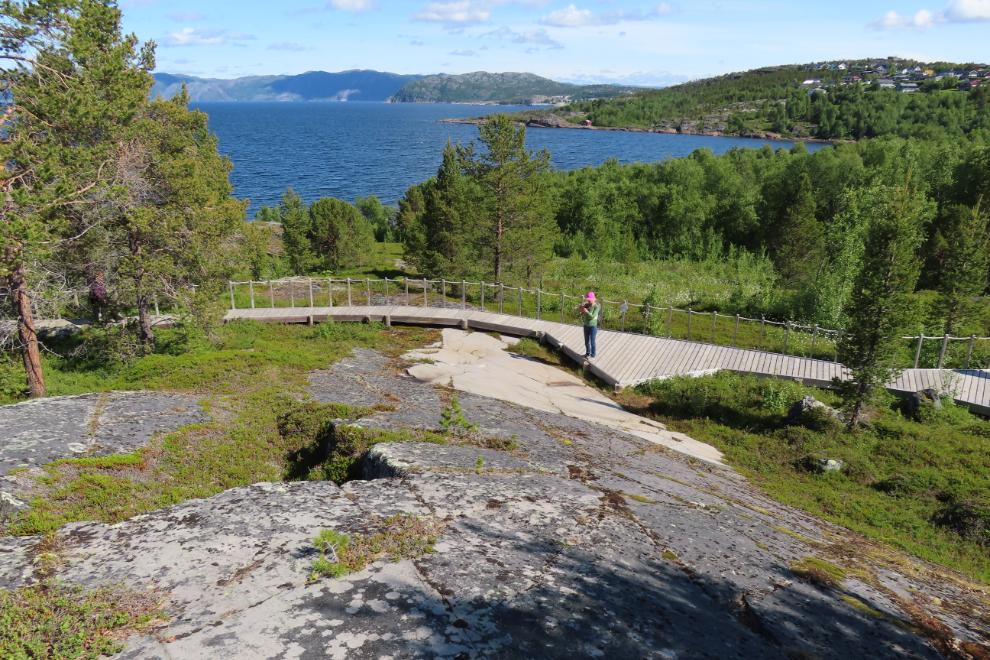
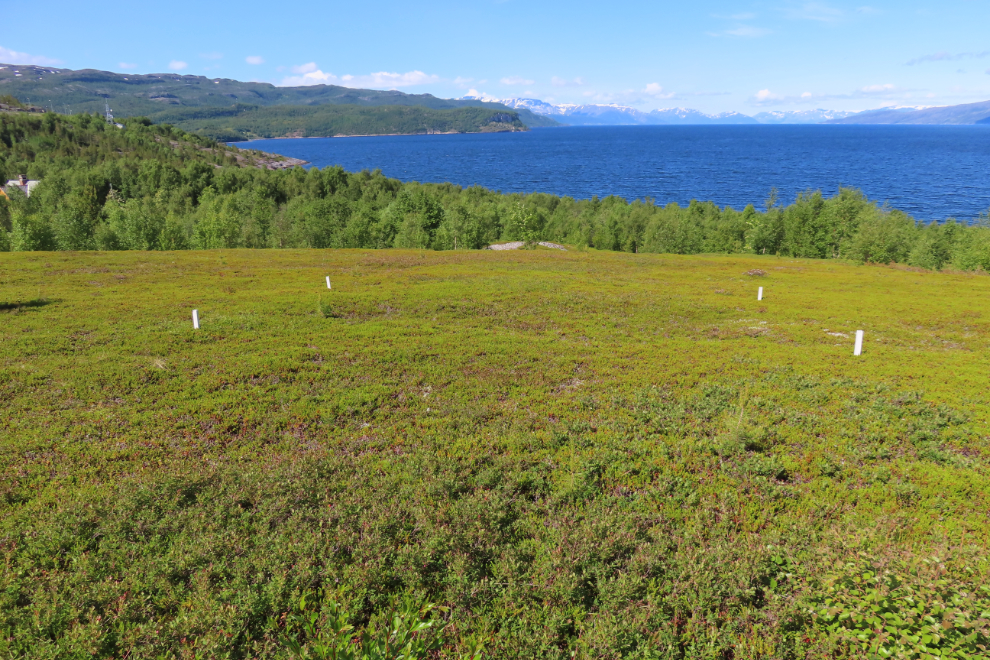
The location of the rock art is exceptionally beautiful, and the entire area is protected by wooden walkways raised off the ground a few inches.
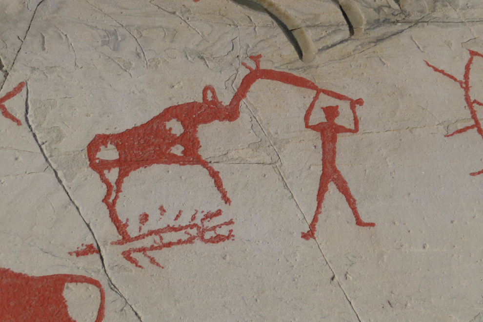
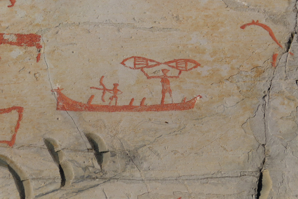
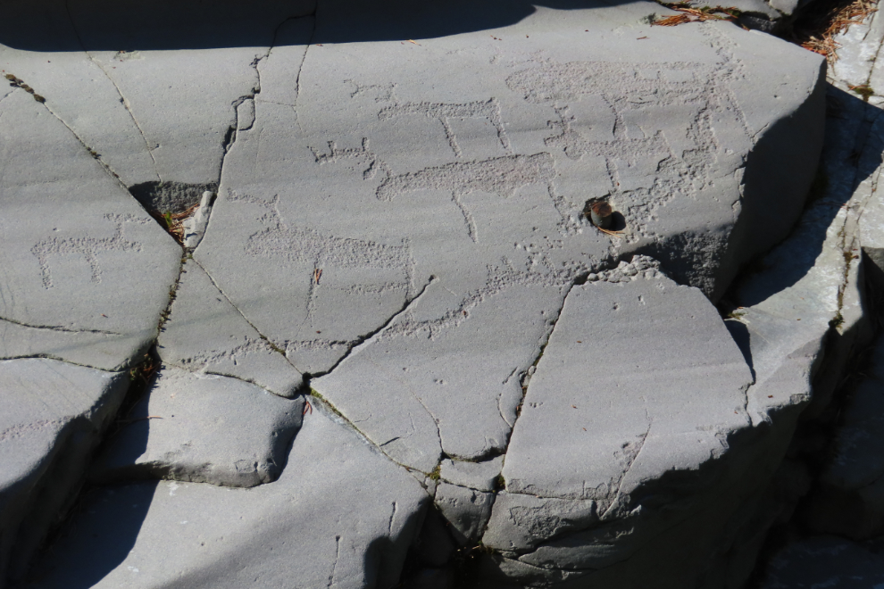
I’ve seen a few rock art sites, and I immediately understood why this one got a UNESCO listing. Wow! Reindeer are, of course, the most frequent subject, and the reindeer are shown in a wide variety of life stages – the pregnant ones being particularly interesting to me.
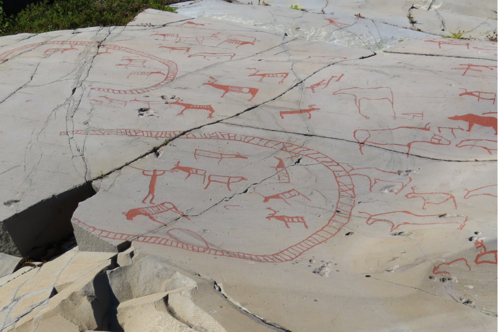
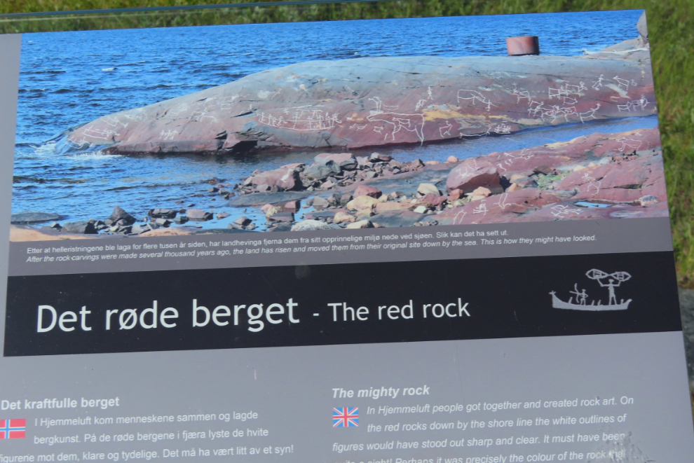
Looking down at the next level. The art can be dated by its height above the water. They were all originally near the water, but as the land rose over thousands of years once the weight of glaciers was removed, the old ones got further and further from the water.
A lot of guesswork goes into the interpretation of each piece, and even the experts are stumped by the specifics of some of them.
It would sure be nice to spend time on that beach.
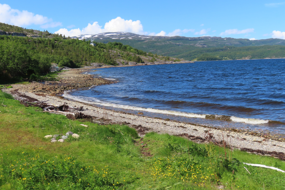
A camp on that beach offers a wide range of activities for kids of all ages. An archaeology sandbox lets you dig for actual artifacts.
Now we were in the more natural part of the site, with no enhancement of the art. On this surface, the “Northern Lights” look of the rock itself played into the art created thousands of years ago.
This was the only bear I saw.
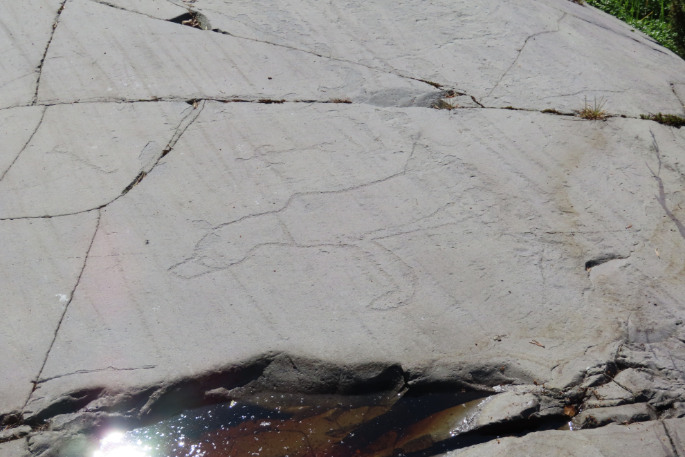
The angle of the sun on the rock was a significant factor in how easy or difficult each piece was to discern, and Cathy and I spent a long time working to assemble as much of this huge puzzle as we could. A young local family came along and asked us about the path – they had obviously not paid for admission so had basically no idea what they were seeing and were pretty bored by it.
Very similar to the Labrador tea at home, but with skinnier leaves.
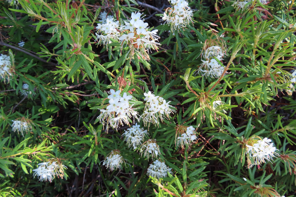
These may be the flowers that give the forest such a wonderful smell.
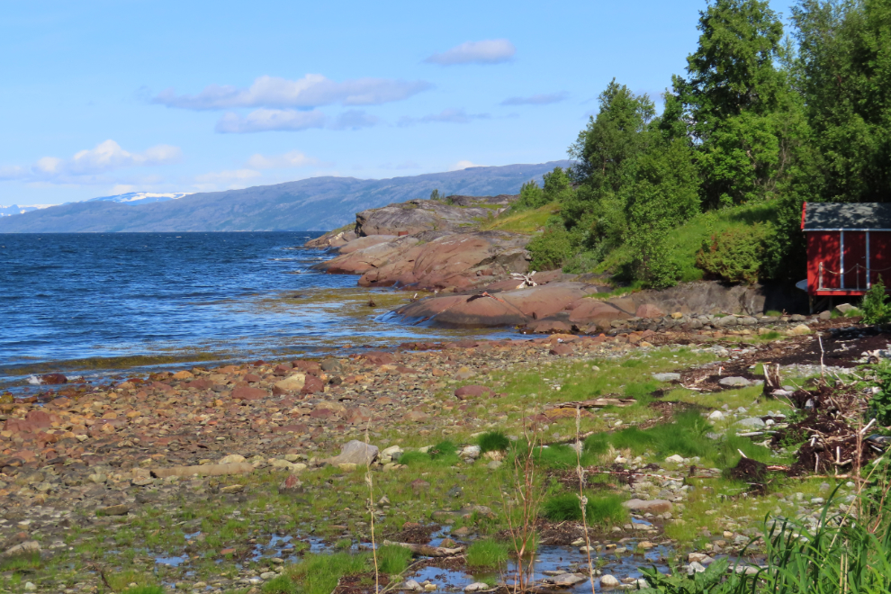
Back at the shore, you would never know that the red rock was part of the rock art site – unless you read the interpretive sign.
Back up at the museum at 1:15, I wondered aloud what the white stakes in the lawn are for – and a few seconds later an interpretive sign explained that they marked depressions left by prehistoric dwellings.
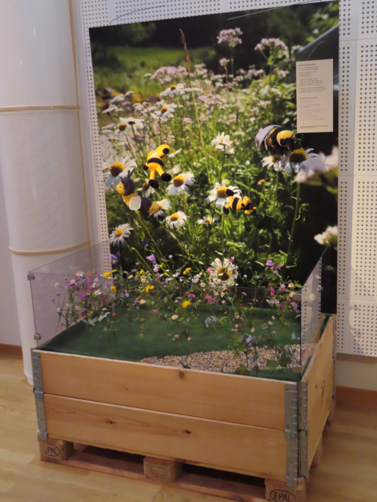
Back inside, I had a look in the exhibition hall, there was a show about food – every aspect you can imagine, from gardening and history to marketing to transportation. And bees 🙂
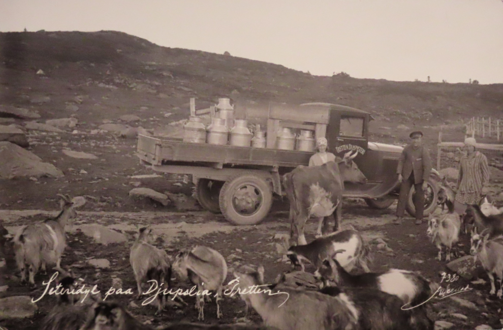
In the Yukon, we’re used to the government financing roads built into the mountains to access mining properties. In BC, add logging to that. In Norway, the government used to finance roads being built into the mountains to access the summer grazing areas of dairy cows, to get milk to market. Pretty cool.
Back at the bus stop at the museum, there was a very long lineup. There was also a taxi sitting there, and we chose to go with him. We had him drop us at a church we wanted to see, rather than back at the dock.
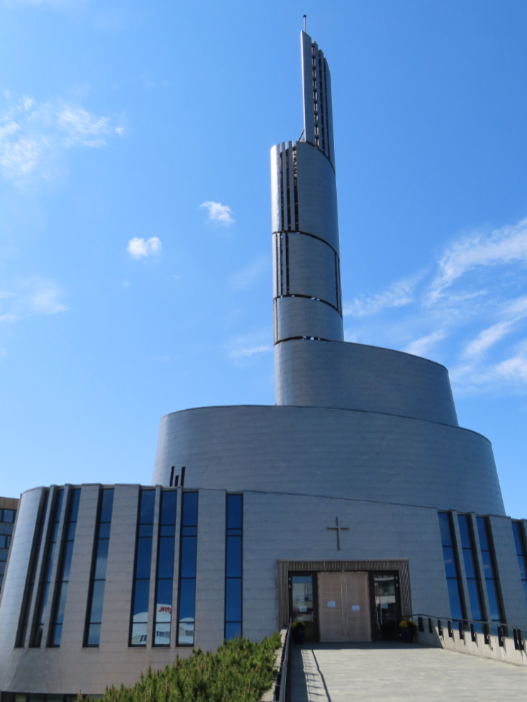
The Northern Lights Cathedral, consecrated in 2013, is generally considered to be a must-see in Alta. But it was closed due to “a private event.” It was Sunday, and given all the bell-ringing we heard, that private event was church services for Christians 🙂
We walked a couple of blocks back to the transportation hub to catch our ship shuttle. It can only be described as a shit show – hundreds of people were lined up waiting for busses that came infrequently 🙁
The situation at Alta was rare, and was the perfect storm to create a mess – a sunny Sunday. But, we eventually got back to the ship and were looking forward to the return to the sea via Alta Fjord.
There was more to see in Alta, but places such as Alta Canyon will have to wait until “next time.”
A plane arrived while we were on deck – it hadn’t been on the arrival schedule I saw and was a complete surprise. LN-WSC is a de Havilland Canada Dash 8-200 operated by Widerøe on a sched to and from Oslo.
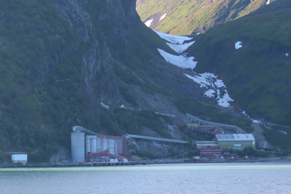
My guess is that this is a gold mine along the fjord. It was now 7:30 pm.
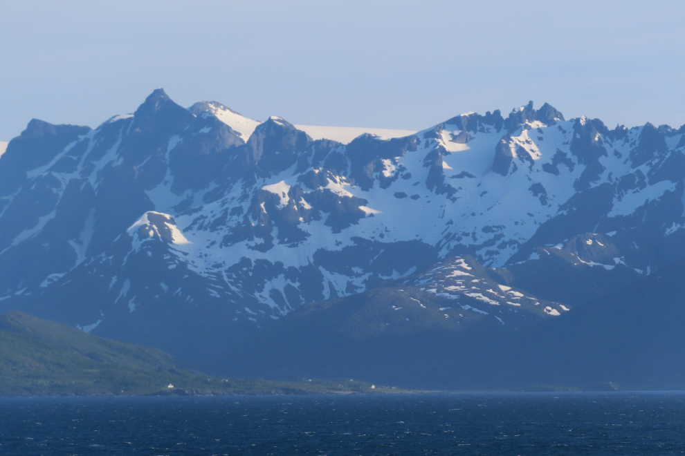
Alta Fjord is the Norwegian coast at its finest.
Tiny coves like this are pure magic to me. Imagine being there on a day like this with your kayak and tent… 🙂
I expect there’s a good story here.
If the mountains aren’t enough, add some interesting cloud formations.
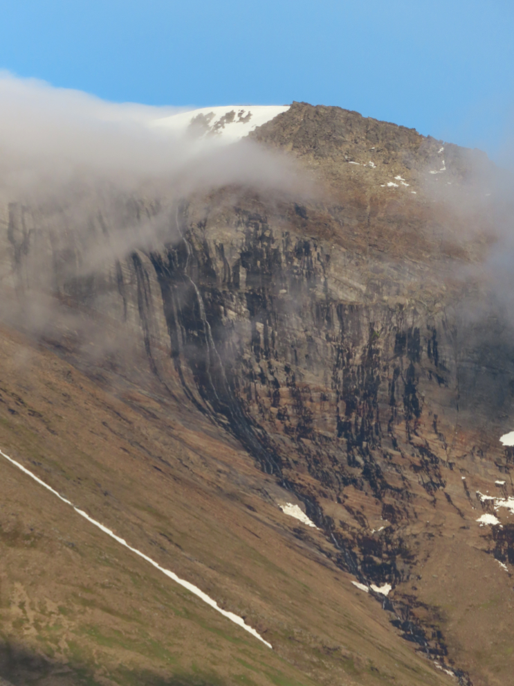
Well that’s intriguing – a “weeping wall”?
At the end of Alta Fjord, we hadn’t gone out to sea as expected – we had turned north up what I thought for a while was a scenic detour. This mountain had interesting terracing – from glacier sculpting, I expect.
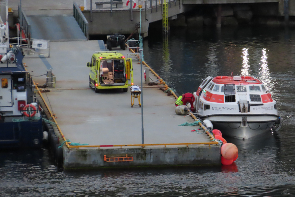
I had expected that we would sail by Hammerfest near the north end of this fjord. When we turned toward Hammerfest, I told Cathy that I expected we would be met at the dock by an ambulance.
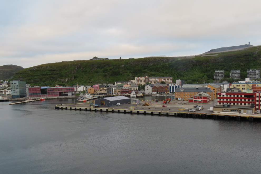
I was unfortunately right 🙁
The next two days, July 7th and 8th, we would be at sea en route to Iceland. A lengthy detour to the north would get us a look at the historic whaling islands of Jan Mayen as we sailed close by.