A drive to Skagway – sun, torrential rain, and heavy snow
My last attempt to drive to Skagway didn’t turn out well, but on Friday (November 22nd), I had the urge to have another go at it.
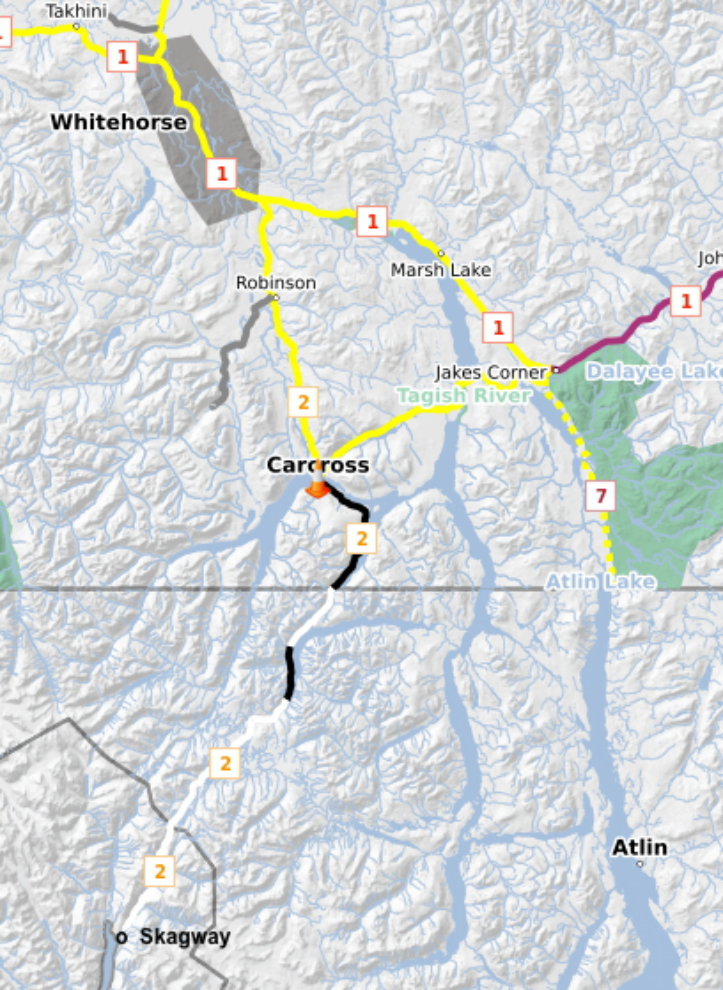
I checked 511yukon this time and things looked good. The yellow means partly covered with snow, black is bare, and white is covered with snow. The weather forecast for Whitehorse was cloudy in the morning, with a high of +5°C (41°F) and then clearing later. For Skagway it was rain and 46°F (+8°C).
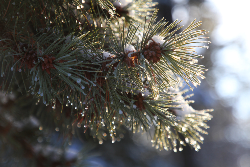
The scattered clouds at home produced some nice light for the frost early in the morning. It was +2 when I headed down the road at 10:50.
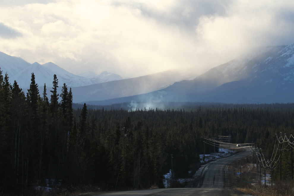
Unlike the crazy temperature swings the previous week, it only ranged between +1 and +3 all the way to the White Pass summit. While you might think that the weather doesn’t look too good in the next photo (shot at 11:18), to me it looked like good photography ahead 🙂
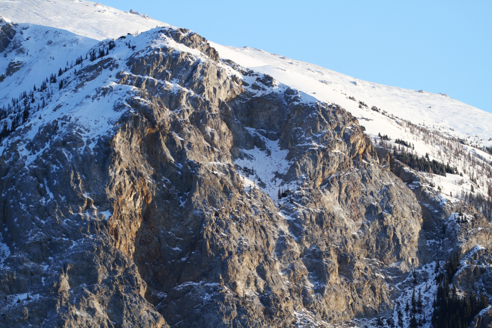
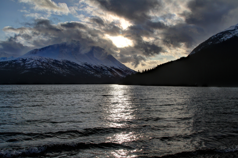
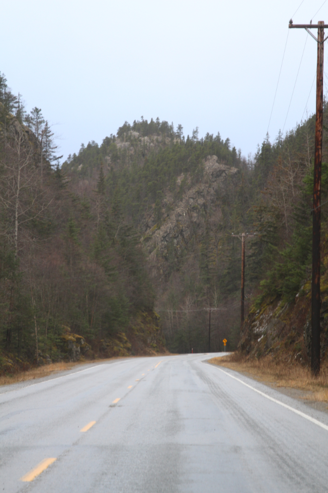
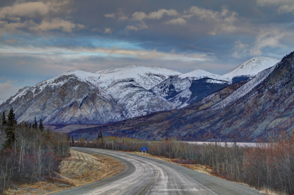
Brute Mountain at Carcross.
At the Bove Island viewpoint, the light on the island wasn’t good but Lime Mountain was nicely lit up.
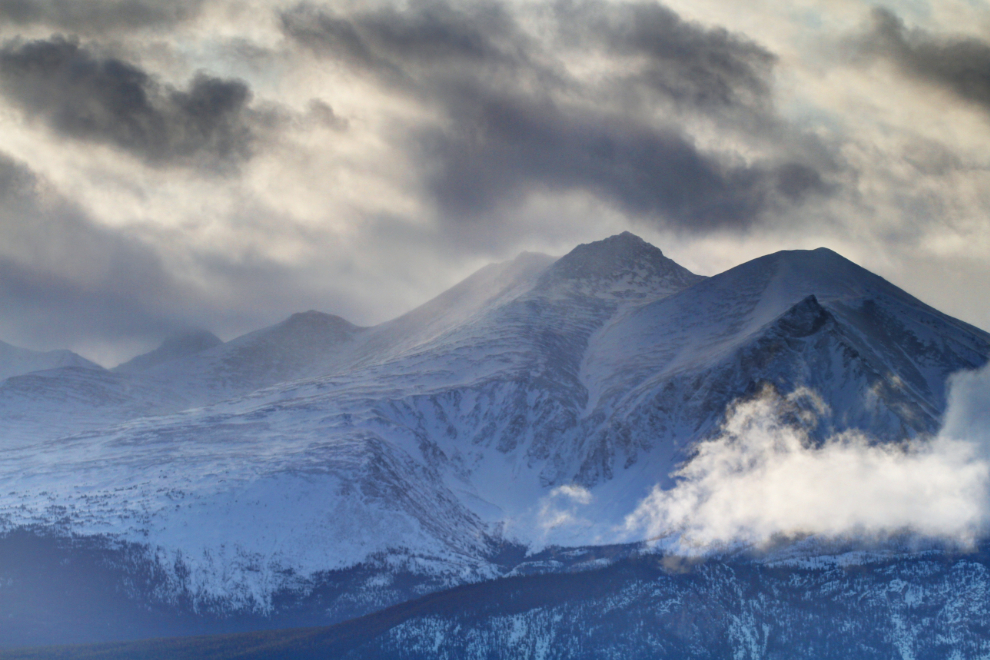
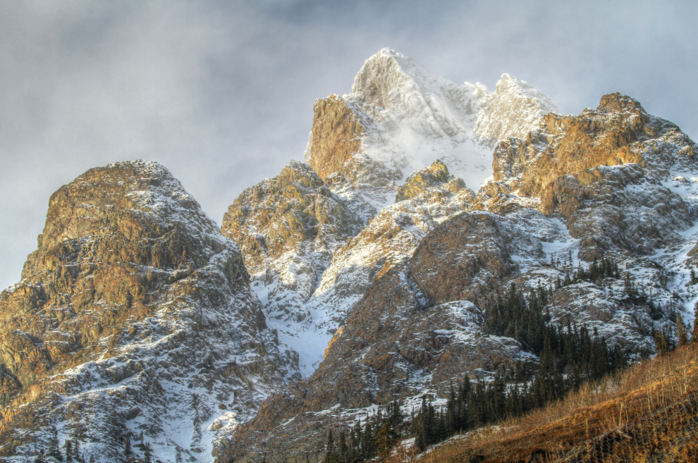
The light on Dail Peak along Windy Arm was particularly good right at noon.
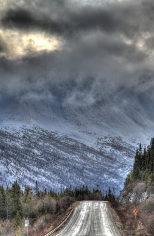
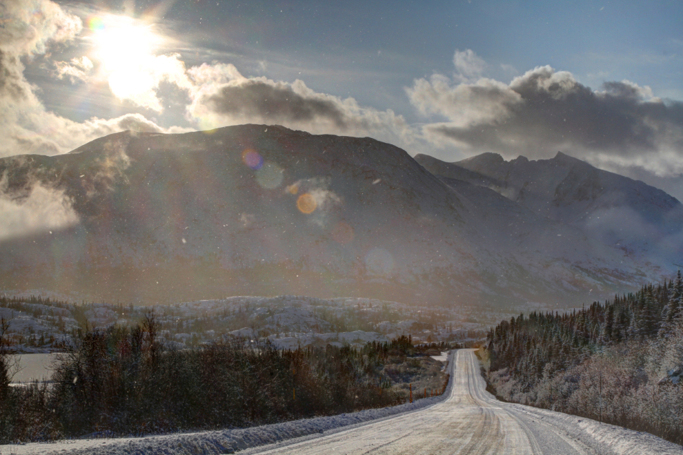
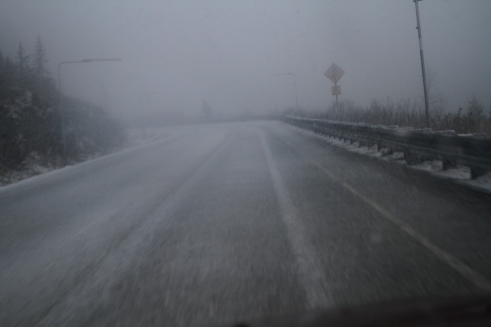
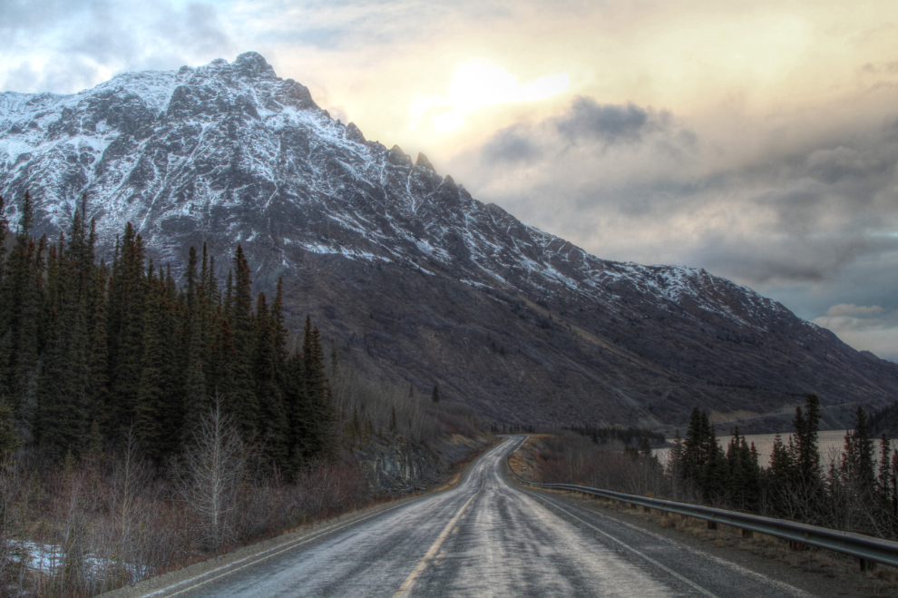
The next photo, shot just south of the Yukon-BC border, was processed as an HDR to exaggerate the great storm light on the mountains and wet road. It was +3 with a very light rain falling – despite the road report of “bare,” it was quite icy.
Even though I had left Tucker and Bella at home, I made our usual stop at Tutshi Lake and shot a few photos.
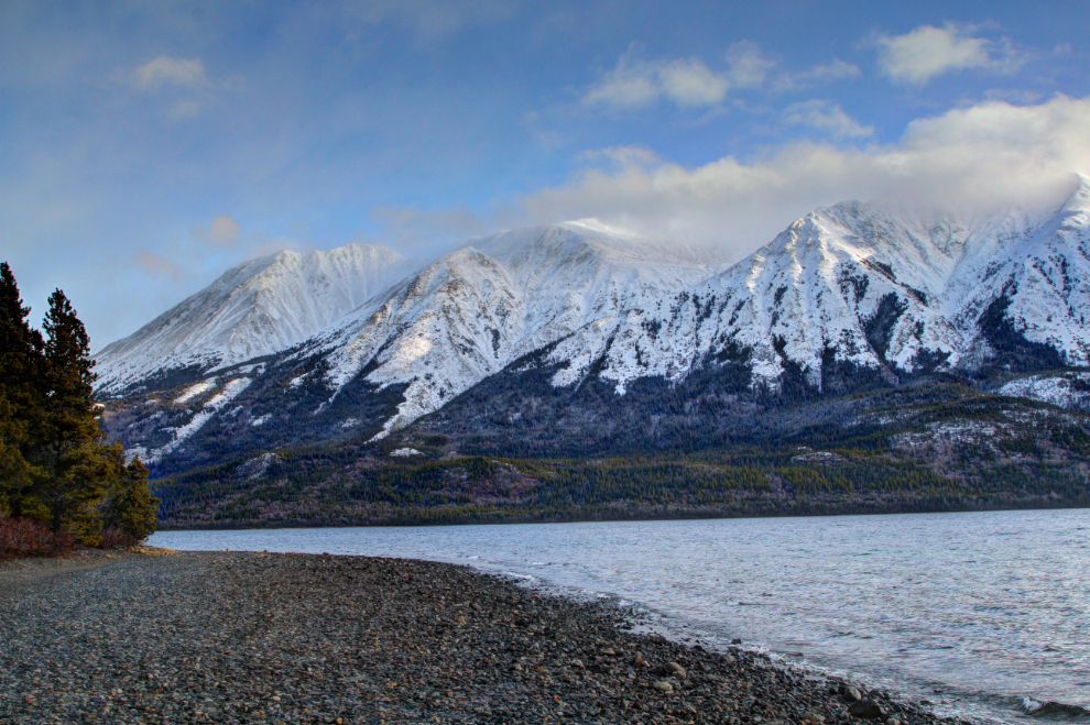
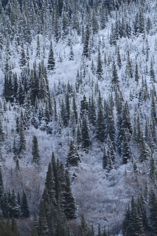
The rain falling at highway level along Tutshi Lake was snow just a little way up the mountains.
Just south of Log Cabin, although there was sun and it was +1, there was a light snow falling.
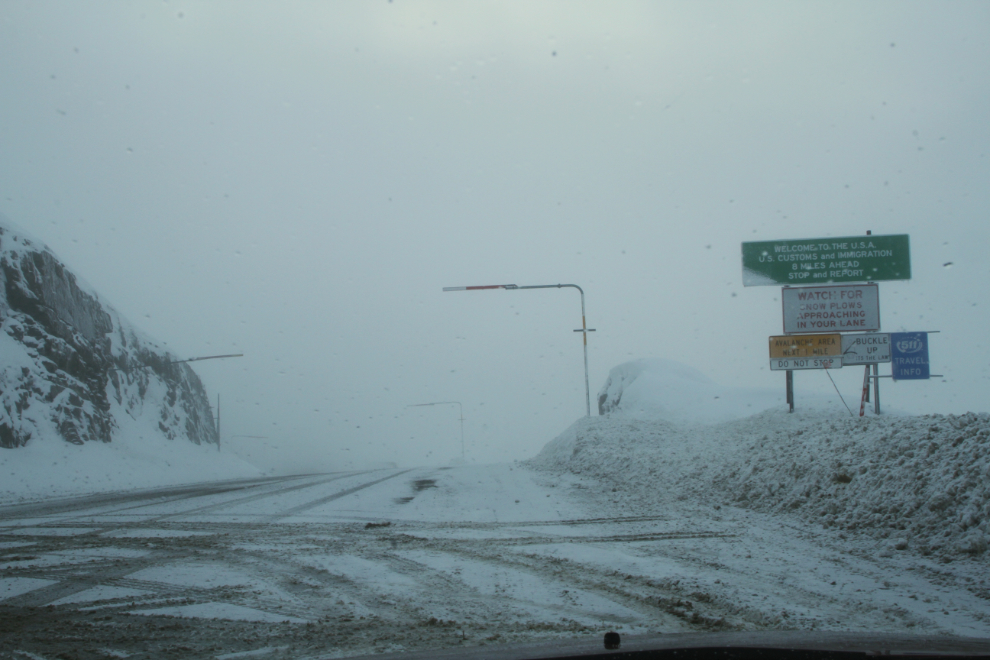
Sometimes the views at the Canada-USA border are spectacular. Other times, not so much 🙂
I hadn’t felt too bad until I hit the really winding section of highway dropping down from the summit. That made me quite sick.
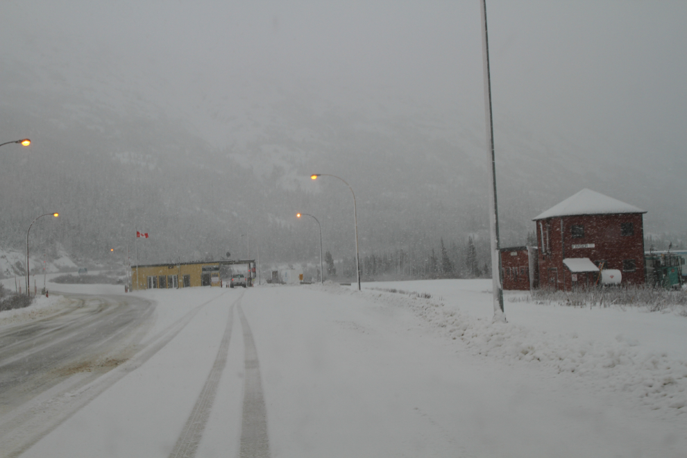
Crossing into Alaska was quick and simple as usual. Two Customs officers I hadn’t seen before, both women, were on duty. I always wonder what brings people to a post like Skagway. A few miles further south, winter was gone.
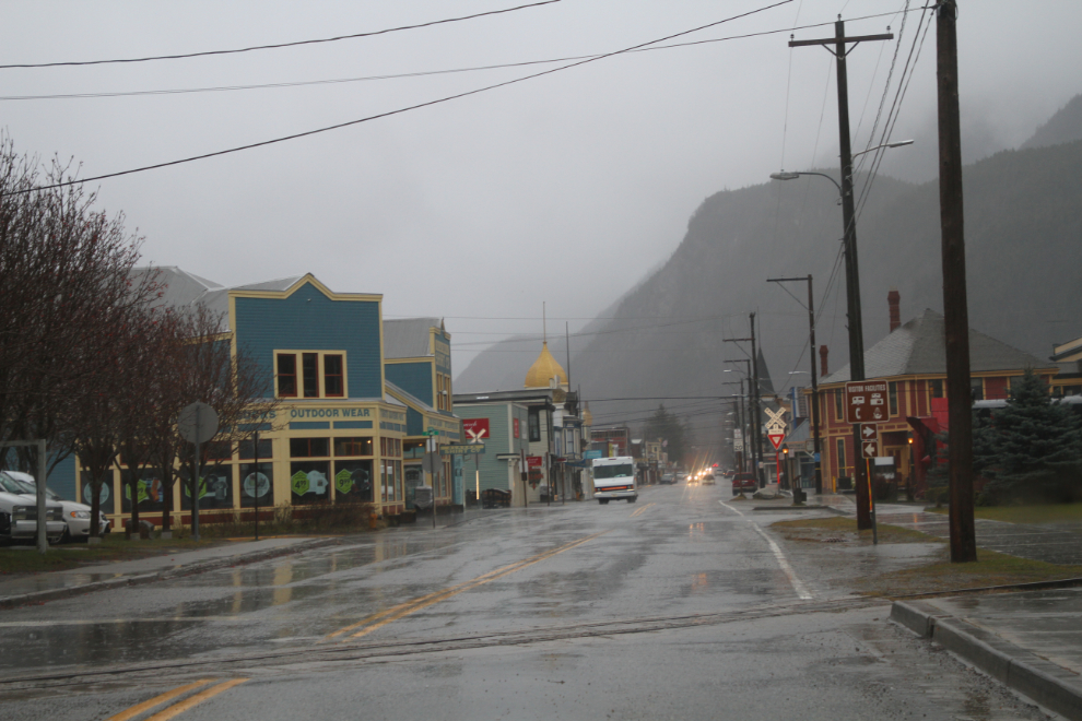
I had a relaxing, excellent lunch at The Station in Skagway. While I was there, it started raining – and soon turned to torrential rain. I did a loop around town, but as I started up Broadway to head home, I had a pretty good idea what was going to happen as I climbed back into the mountains.
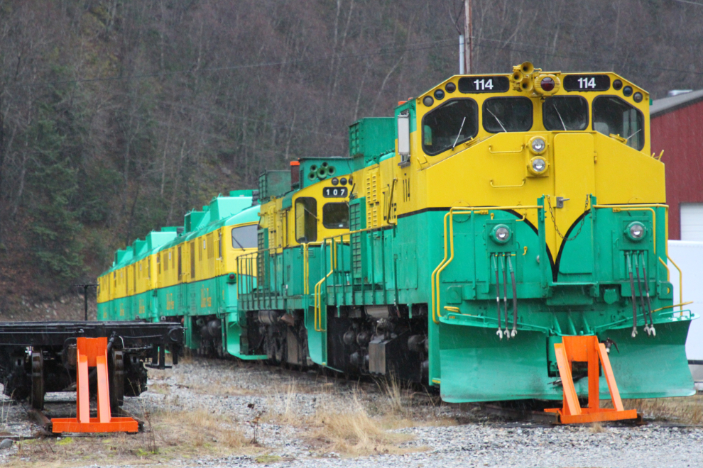
I made a short stop at the WP&YR yards, but the rain was so heavy the photos I took are from the car window.
The rain started to turn to snow just north of Customs.
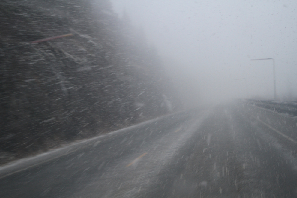
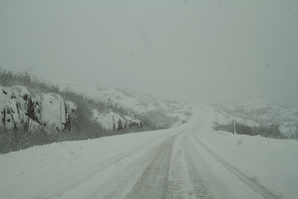
As I neared the William Moore Bridge, the snow was extremely heavy.
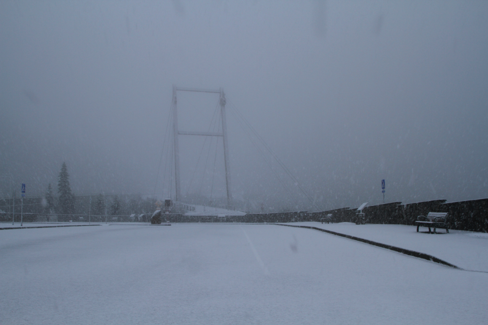
The new pullout at the William Moore Bridge is very nice. The old bridge is securely fenced off now, but it supposed to be opened to foot traffic at some point. Perhaps the National Park Service hasn’t come up with a complete plan for it yet.
A woman in the grocery store in Skagway said that 2 feet of snow was forecast for the White Pass that night, and the way it was coming down, I could see that possibility. The next photo was shot just south of Summit Creek, at 2:40.
At Canadian Customs, when I asked what I was down for, I said “just wandering.” His response as he looked around was “really??” – I said the light was really good when I was southbound 🙂
Back to great light at Dail Peak just south of the BC-Yukon border. When I stepped out to take this photo, I discovered just how icy the road still was.
The last photo of the day was shot just south of Conrad at 3:30.
I got home at about 4:30 and texted Cathy “I beat it!” A full day and I hadn’t hit the dreaded “wall” 🙂
But… Saturday was bad. I did nothing all day. And Sunday was much worse – I was very sick, the worst I’d been in weeks. Two steps forward and 3 back? By Monday I was back to “the new normal,” though. Will I make that drive again knowing how sick it might make me? At this point I don’t know. Probably not, without some sort of plan to do something different (a sleep in Skagway perhaps).