Nu’uanu Pali Lookout and Highway H-3
With the end of our Hawaiian vacation nearing, there was one more site we needed to see on Oahu – Nu’uanu Pali Lookout. It was planned to be a very short excursion with MJ and Jim, but we got a bit sidetracked 🙂
From our hotel to the lookout is only a few minutes drive via Hawaii Route 61 (the Pali Highway). When you’re used to mainland distances, everything in Hawaii is surprisingly close. Going from the hustle and bustle of the city to dense forests and relatively light traffic that quickly is wonderful.
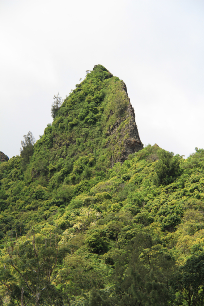
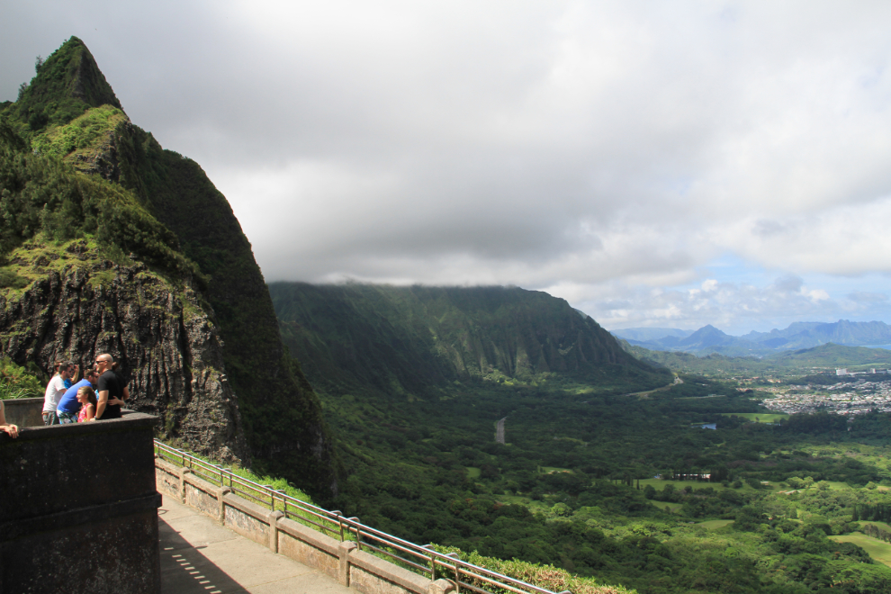
I expected that the lookout would be well marked, but it wasn’t – I saw the sign right at the exit ramp. This stunning peak towers over the lookout.
As is said constantly about this site on TripAdvisor, parking at the lookout is a mess. There are very few parking spots, and although the machine to pay the fee said that credit cards weren’t being accepted and you needed $3 in coins (who carries $3 in coins???), it was actually completely broken according to someone Cathy spoke to and so parking was free.
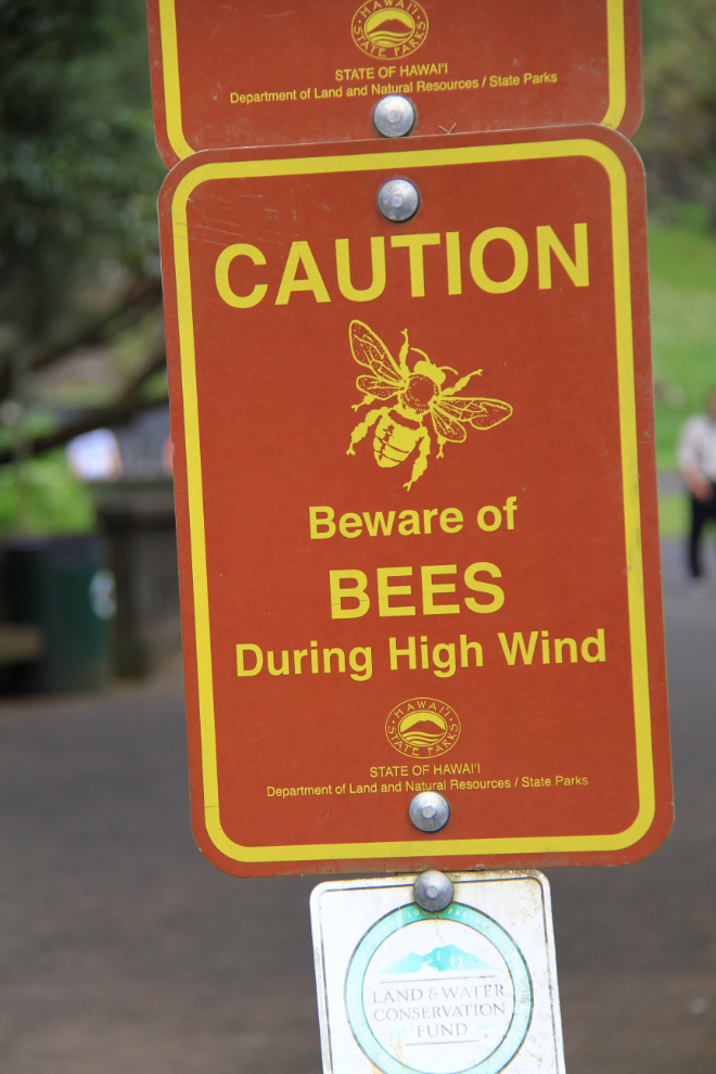
I don’t think I’ve ever seen a sign like this before. Winds make them mad? It turned out to be very true, and Cathy got a nasty sting a few minutes later (it’s still bothering her after 5 days).
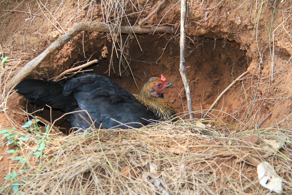
Another thing I’d never seen before – feral chickens digging nests into the hillside beside the walkway to the lookout.
Whatever faults it may have, Nu’uanu Pali Lookout offers a broad, stunning view of much of the Windward Coast. “Pali” means “cliff” in Hawaiian.
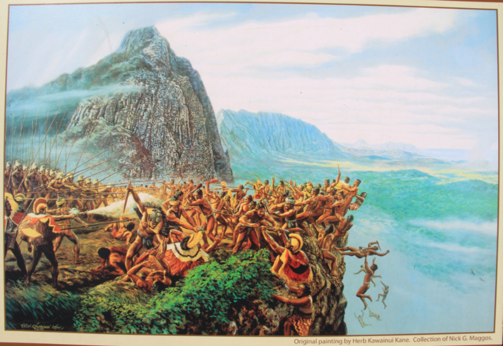
The lookout is a powerful site historically. In 1795, King Kamehameha I, with an army of 10,000 warriors, won the Battle of Nu’uanu here, bringing O’ahu under his rule. This was one of the bloodiest battles in Hawaiian history – the defenders of O’ahu, led by Kalanikupule, were driven high into the Nu’uanu valley where they were eventually trapped above the cliff here. More than 400 of Kalanikupule’s soldiers were driven off the edge of the cliff to their deaths 1,000 feet below. Wikipedia states that “In 1898, as this road was developed into a highway, workers found 800 human skulls – believed to be the remains of the warriors who fell to their deaths from the cliff above.” This painting of the battle, painting by Herb Kawainui Kane, is displayed at the lookout.
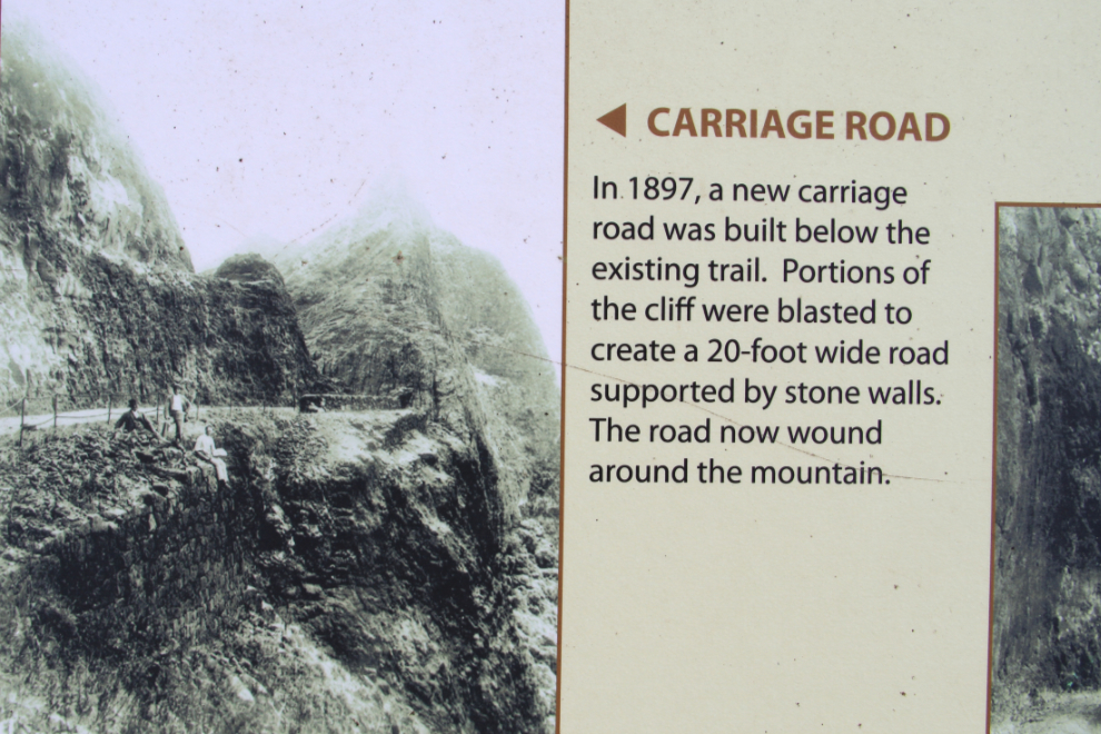
The route through the mountains here has a long history. In 1845 the well-used historic trail was paved with stone and widened to 6 feet, then in 1897, as seen in this photo, a 20-foot-wide carriage road was built below the trail by blasting some of the cliffs and building stone retaining walls.
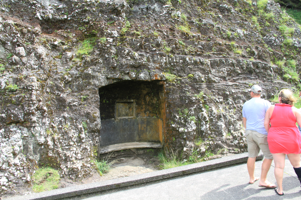
A short section of the old highway can still be walked. Along it is this intriguing indent in the cliff. My guess, because of the rectangular cutout above the bench, is that there used to be a plaque there commemorating the opening of the latest version of the highway – the date “1932” is cast into the main concrete retaining wall close by.
Looking down on one of the 2 pairs of tunnels that take modern Route 61 directly under the lookout.
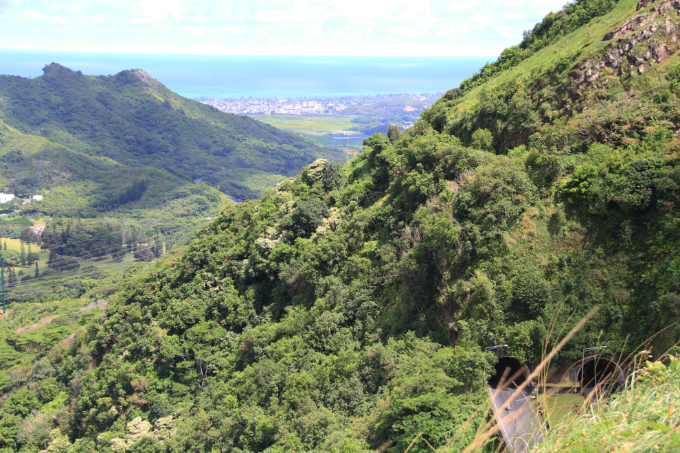
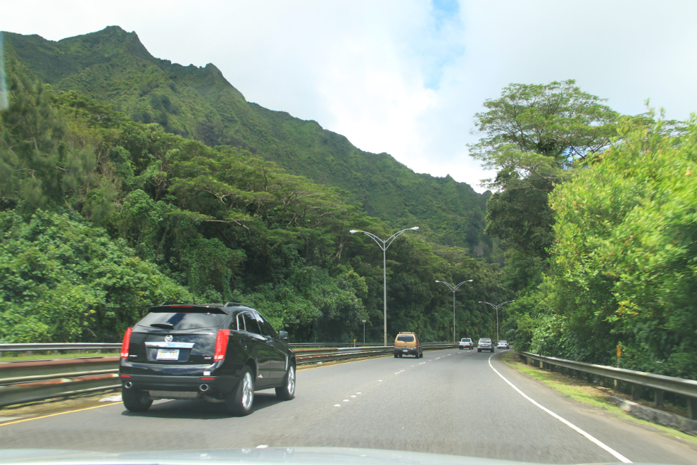
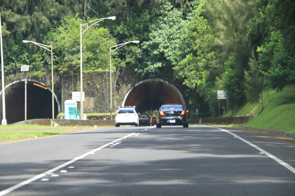
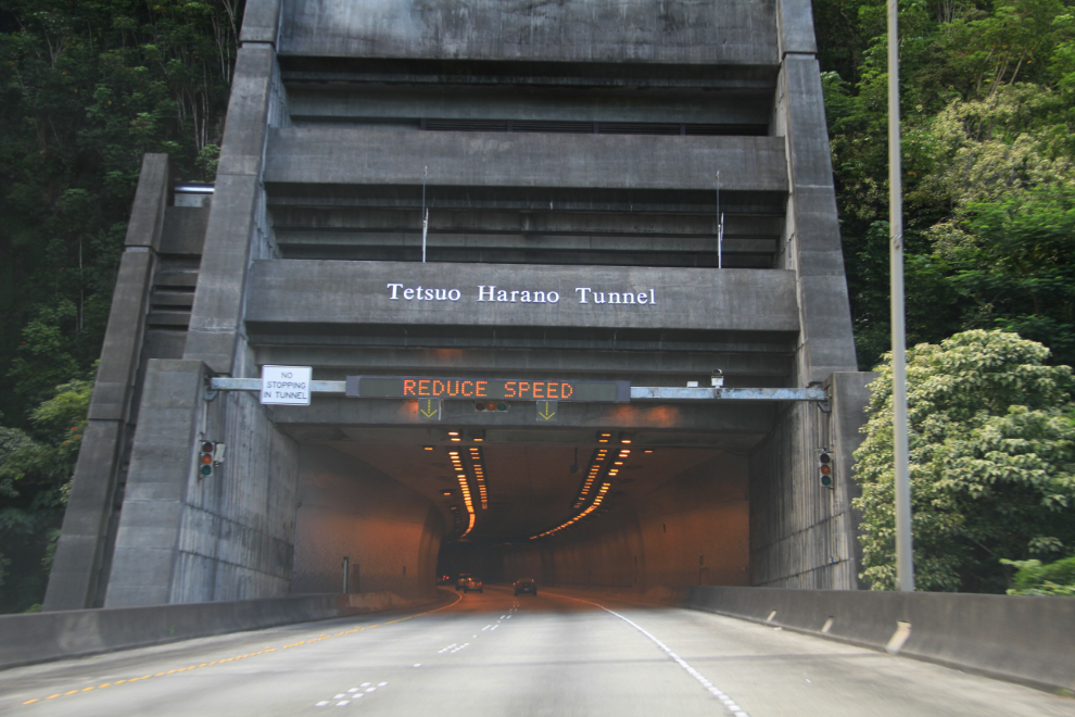
Cathy read that H-3, the John A. Burns Freeway, would provide an even more spectacular route back to Honolulu, so we continued north on 61, went through these tunnels, and had a very disappointing lunch at Starbucks in Kailua (our first poor meal of the trip!).
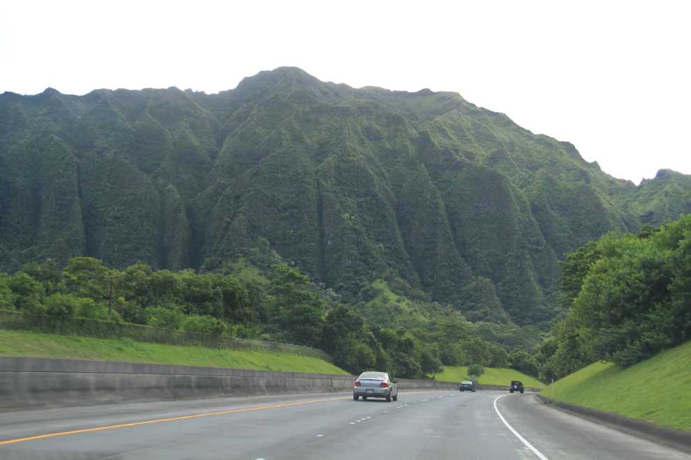
The next 3 photos were taken along H-3 – it is indeed spectacular! The highway, which just opened in December 1997, was extremely controversial and is the most expensive “Interstate” highway ever built, at $80 million per mile. See more photos of, and information about the 16-mile-long highway, here.
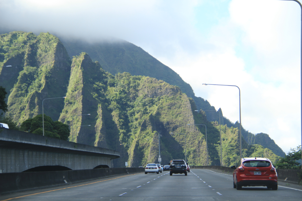
Although we got carried away with the incredible scenery, Cathy and I were back on the beach in front of our hotel for sunset (as were thousands of other people!)
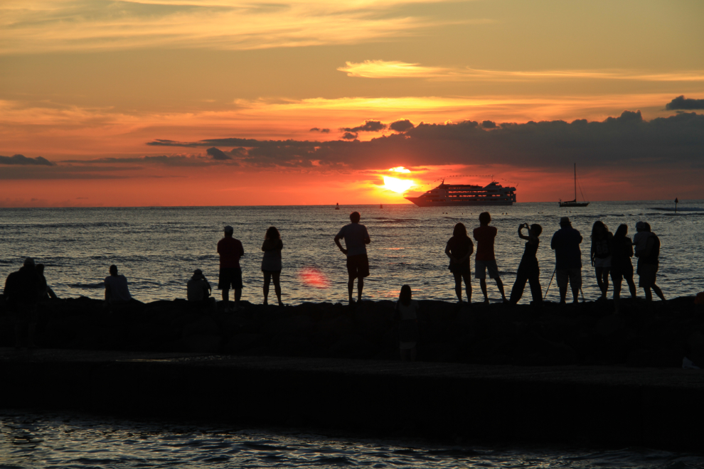
This, our last sunset in Hawaii, was the best yet. Perfect 🙂
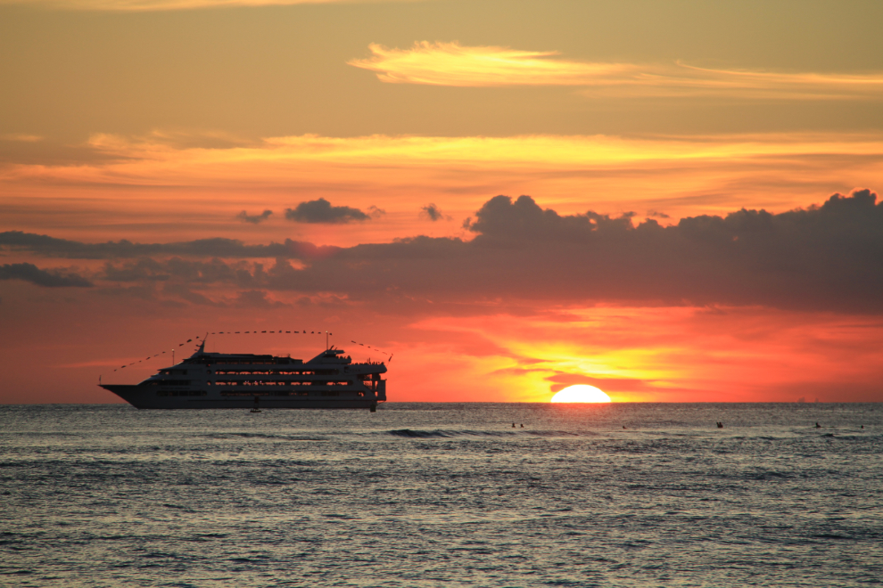
The next day, we’d begin the long trek back to the Yukon. Not sadly at all – we were both anxious to be back home with the fur-kids.
