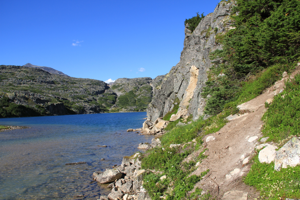
Hiking in the White Pass – waterfalls and glaciers
Yesterday was intended as a motorcycle day – a ride to Skagway and back – but turned into much more, with an almost-6-hour hike past countless waterfalls and ending overlooking the Chilkoot Trail at a wall of glaciers across the valley.
By 08:45 I was all armoured up and ready to hit the road with the Vstar, with a forecast for mostly sunshine.
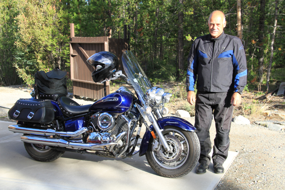
On the way south I pondered a few options for a short hike, and thought that Lower Dewey Lake and Upper Reid Falls might fill the bill nicely. But Skagway just didn’t have a good vibe for me, so I just collected my mail (including my new SPOT) and headed north again.
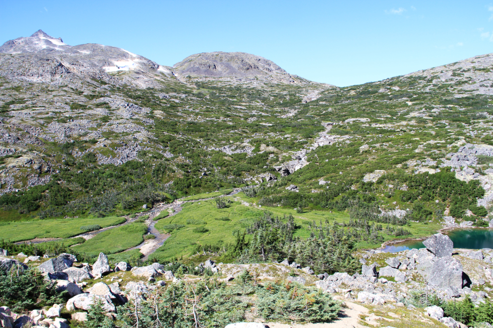
I’d never been very far up the trail that leads to the west from the White Pass summit, to Boundary or International Border Falls, so decided that that would work nicely. No particular destination, just start walking and see what comes up.
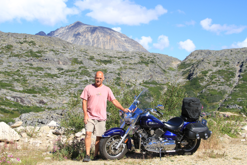
A few minutes after noon, my riding gear was all stashed and I was ready to go.
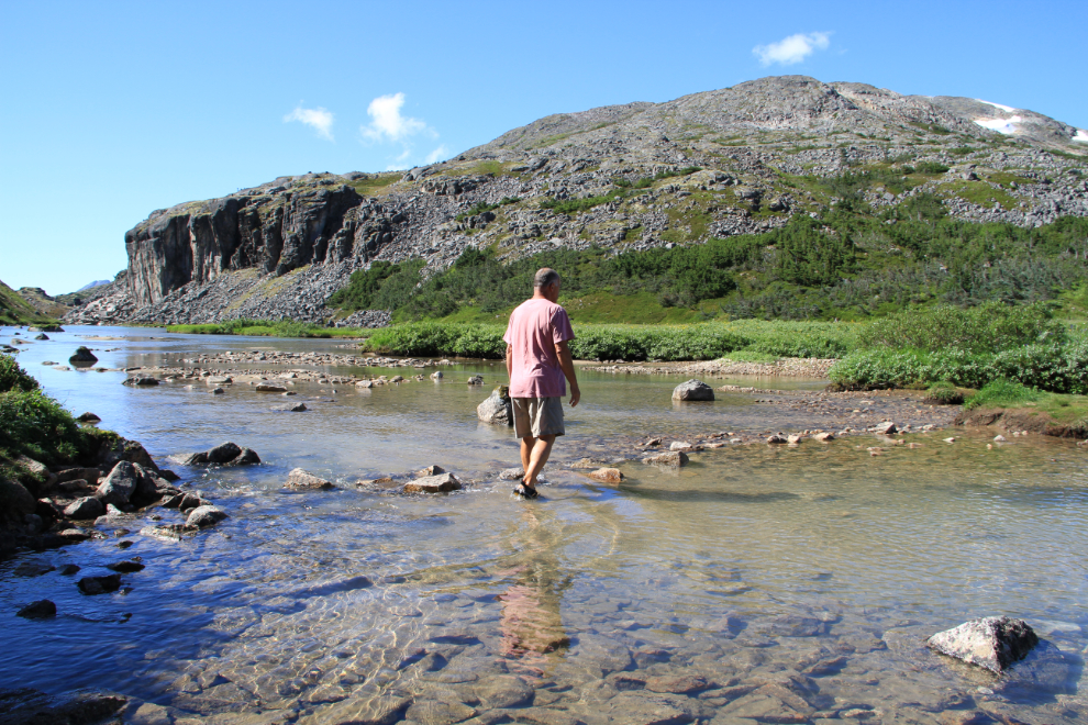
The trail (which doesn’t have a name) starts by dropping very steeply into the valley, and then you have wade across the outlet of a small lake. Although I wrecked my Mion sport sandals a few days ago, I was able to replace them in Whitehorse with Keen Men’s Newport H2s at a good price, and they’re almost identical, so creek crossings are not an issue.
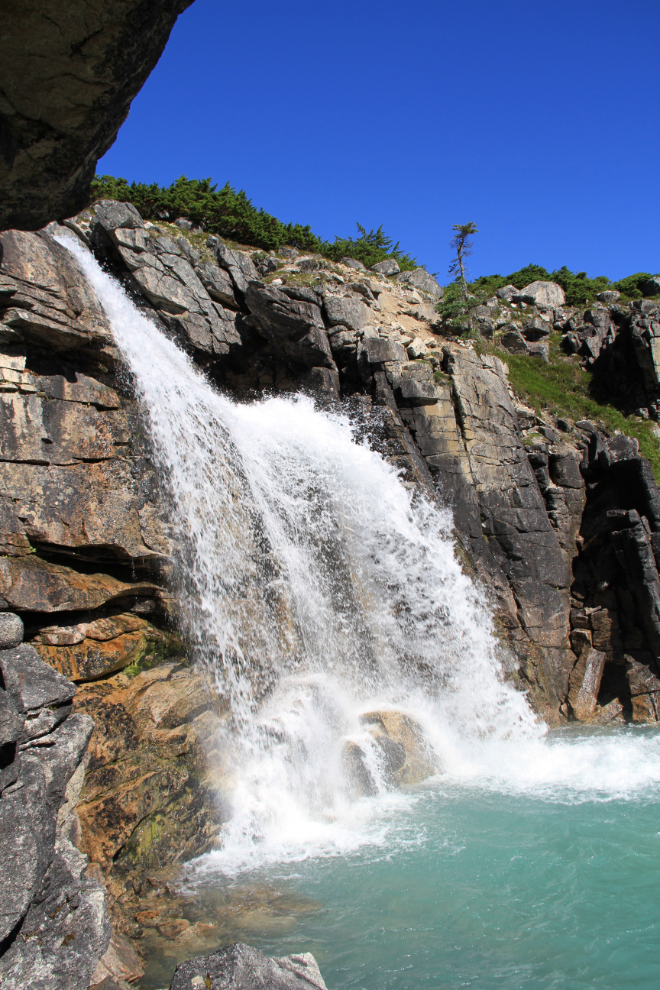
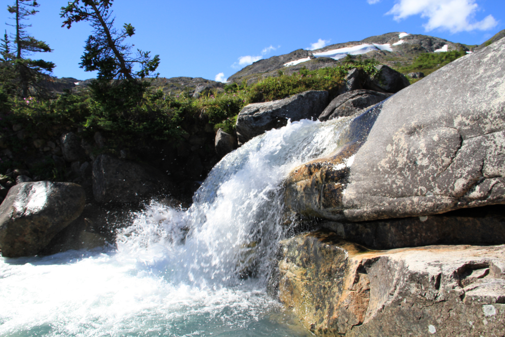
The first waterfall is also the largest one, and it really is a beauty, perhaps 25 feet high.
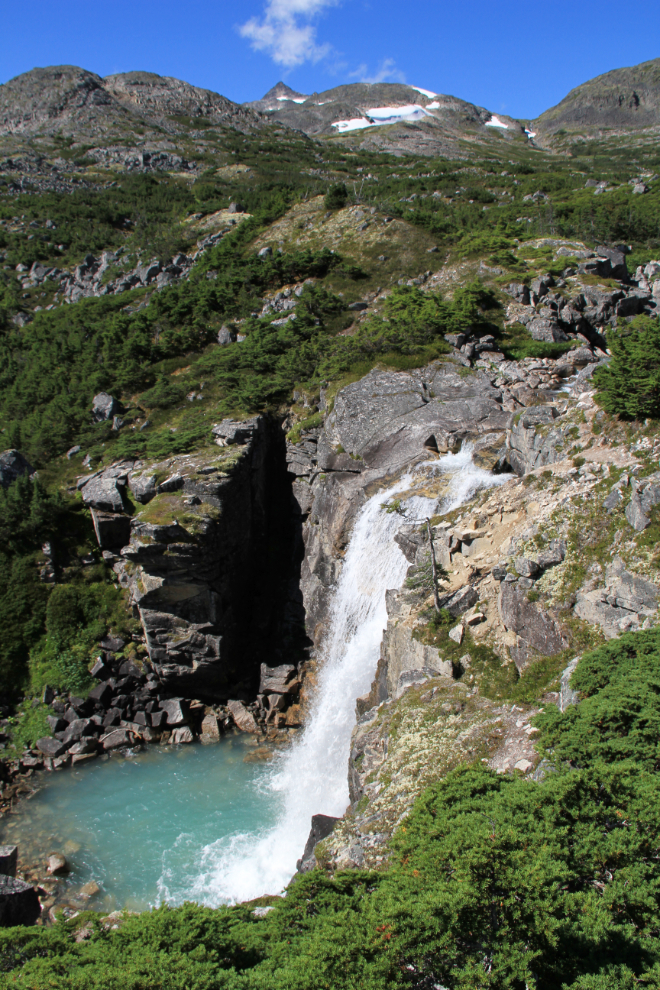
The same waterfall, from above. From here on, the trail was taking me into country that I hadn’t seen before (except the first little bit, seen from the highway).
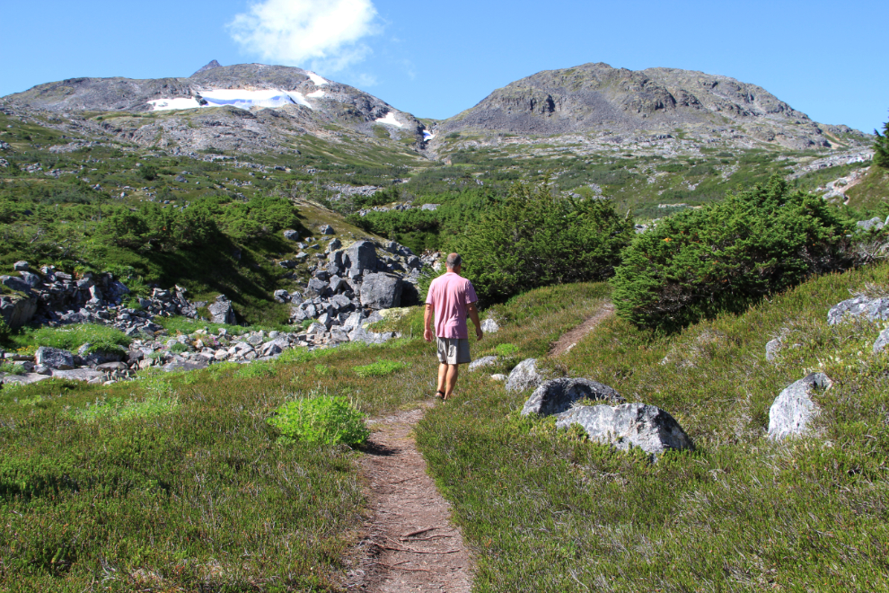
Some of the first part of the trail is quite tight through head-high evergreens, but then it opens up nicely. This was shot at 12:40, just half an hour after leaving the bike. At about this point, you pass from Canada into the United States (from British Columbia into Alaska), but there’s no monument, no flags, and no border guards.
There are countless waterfalls and cascades of all sizes. This one is only about 3 feet high.
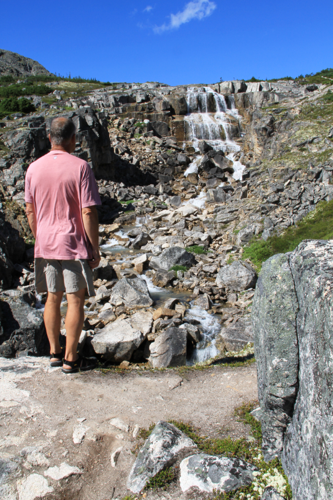
This is the upper of the 2 large waterfalls that can be seen from the highway – it’s far larger and more attractive up close.
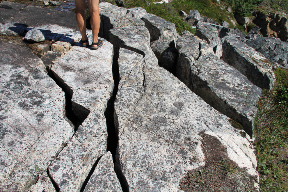
It’s hard to imagine the forces that can do this to solid granite.
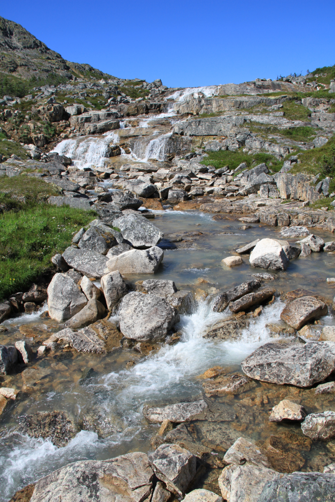
I love waterfalls, and this is the sort of scene that kept drawing me higher and higher along the creek. I often made detours off the trail to have a closer look, or feel, or taste of the absolutely pure water.
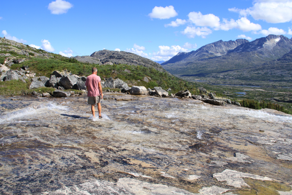
A massive slab of granite, perhaps 100 feet square, kept me for a while.
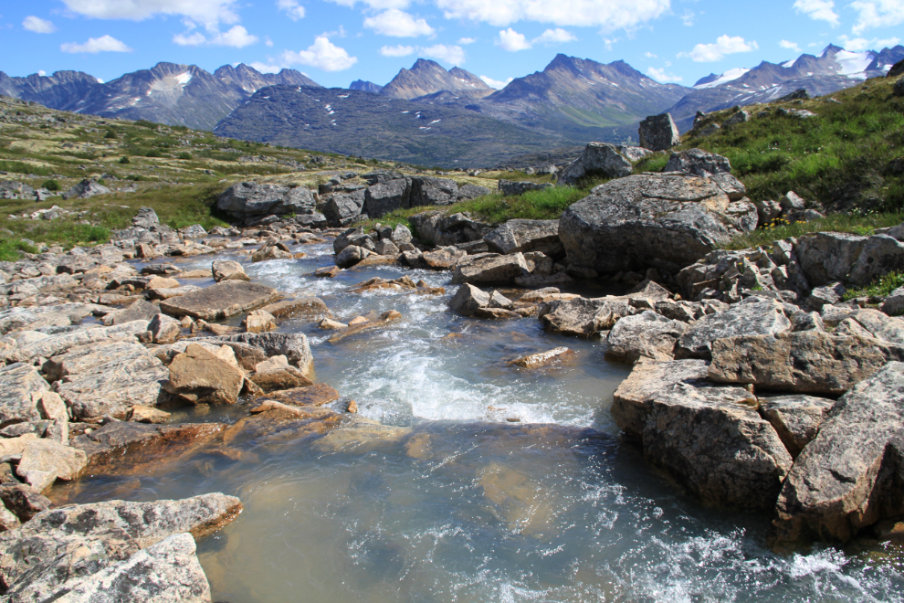
Looking back down the creek to the peaks on the east side of the White Pass, at 2:04 pm.
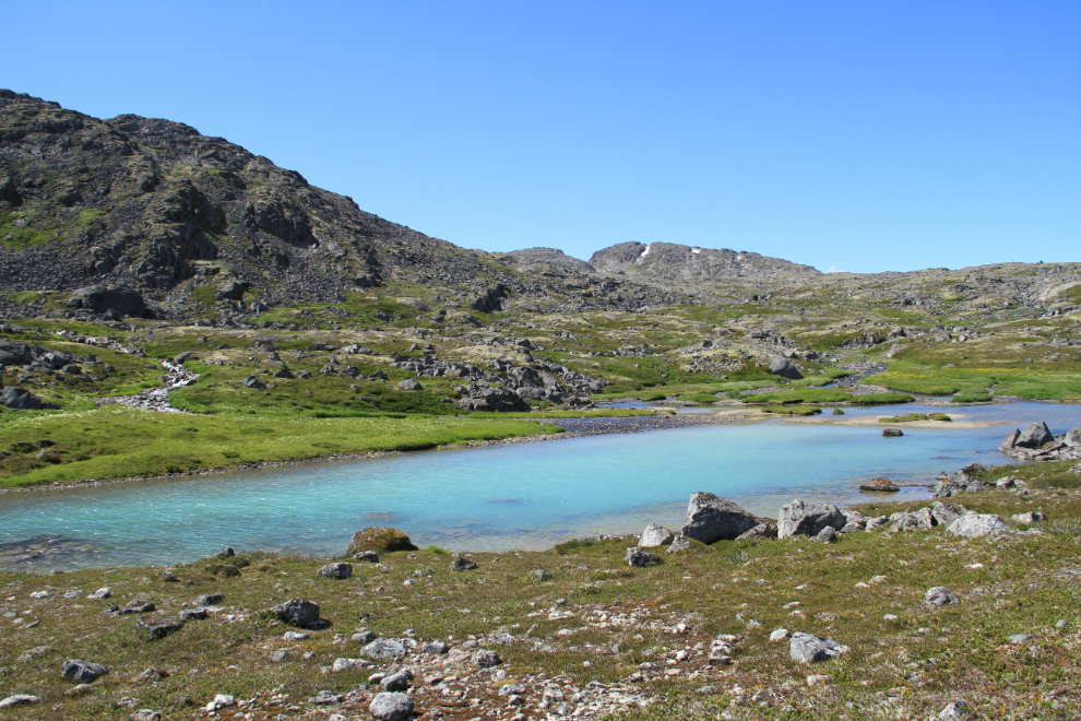
The first of the headwater lakes, most of which are snowmelt-fed, though the colour of this one shows that a glacier provides much of its water.
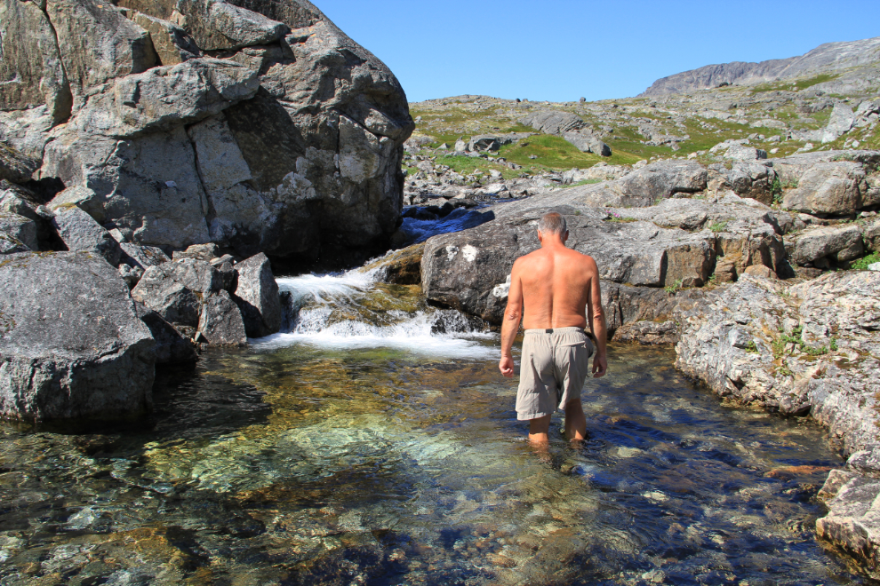
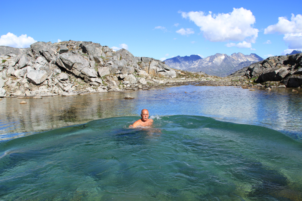
I just couldn’t stay out of the water 🙂
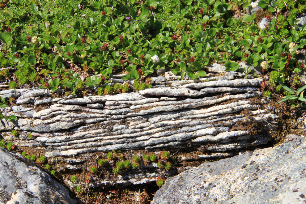
As I got above about 4,000 feet in elevation, some really interesting intrusions into the granite started to appear.
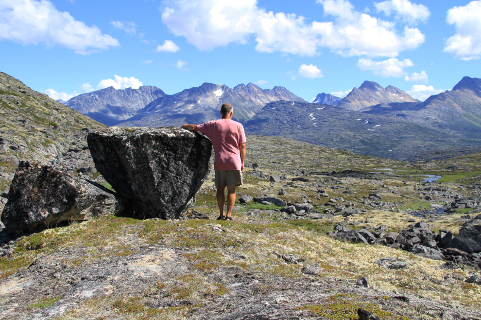
A glacial erratic, left on a little knoll by the glacier that carved out this valley as it retreated.
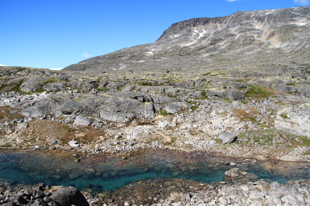
A small snowmelt lake – water so pure it’s almost invisible.
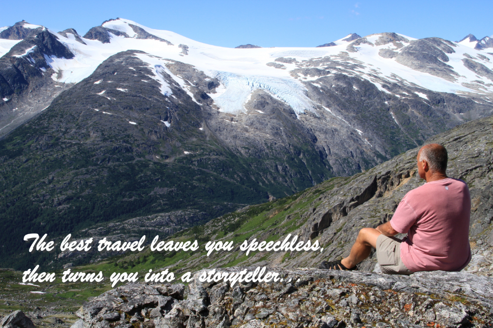
This is the top of the valley – that’s the Taiya River valley, with the Chilkoot Trail running though it almost 4,000 feet below me. This scene comes into view suddenly, with no warning – you top a ridge and WOW!, there it is. I was and continue to be so inspired by this view that I created this poster with the photo.
I decided to see if by climbing another 800 feet or so to the top of the ridge to the south, I might be able to see Taiya Inlet, which as far inland as the sea comes in this area.
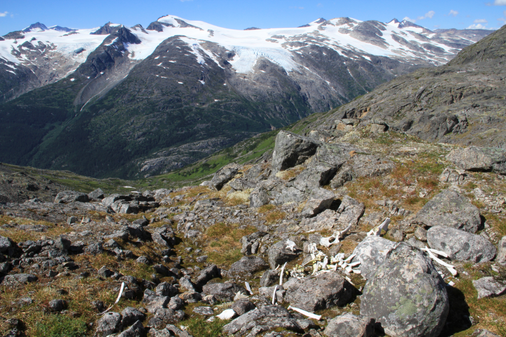
At this spot a few years ago, a caribou met his end – the skull is gone but most of the rest of the skeleton is here.
A closer look at 2 of the glaciers across the valley. The one on the left is the Saussure Glacier, the other is unnamed (as are most glaciers in Alaska). The highest peak to the right is Mt. Hoffman.
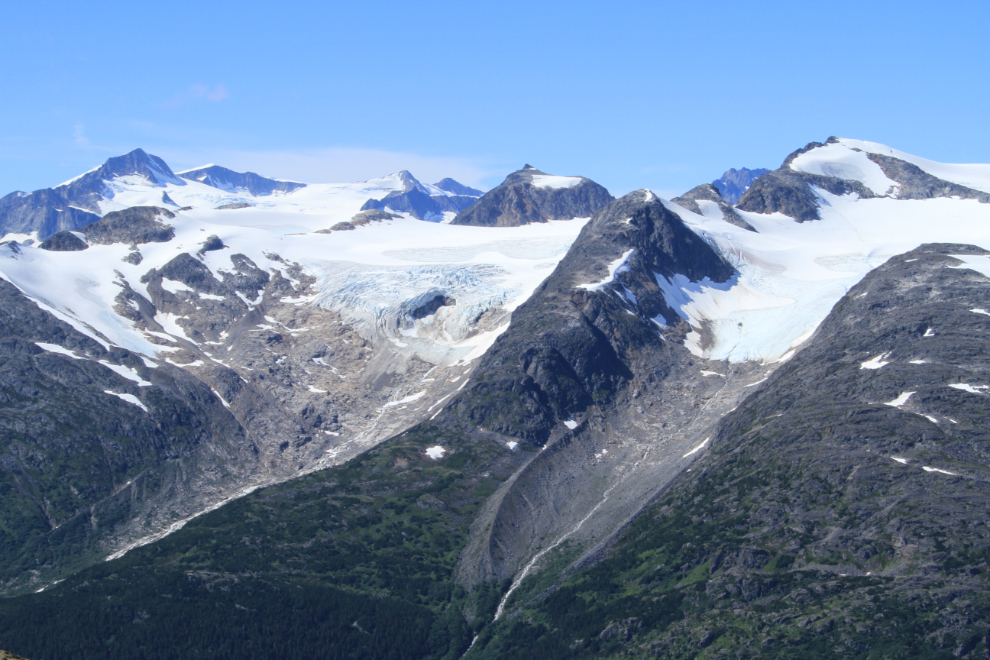
Although I couldn’t see salt water from the top of the ridge, I did get a much better view of these glaciers. I hadn’t been paying attention to the time at all, but the time stamp on the photo shows that this was shot at 3:37 pm. I started down simply because there was no more “up” available (except by going a long way down first).
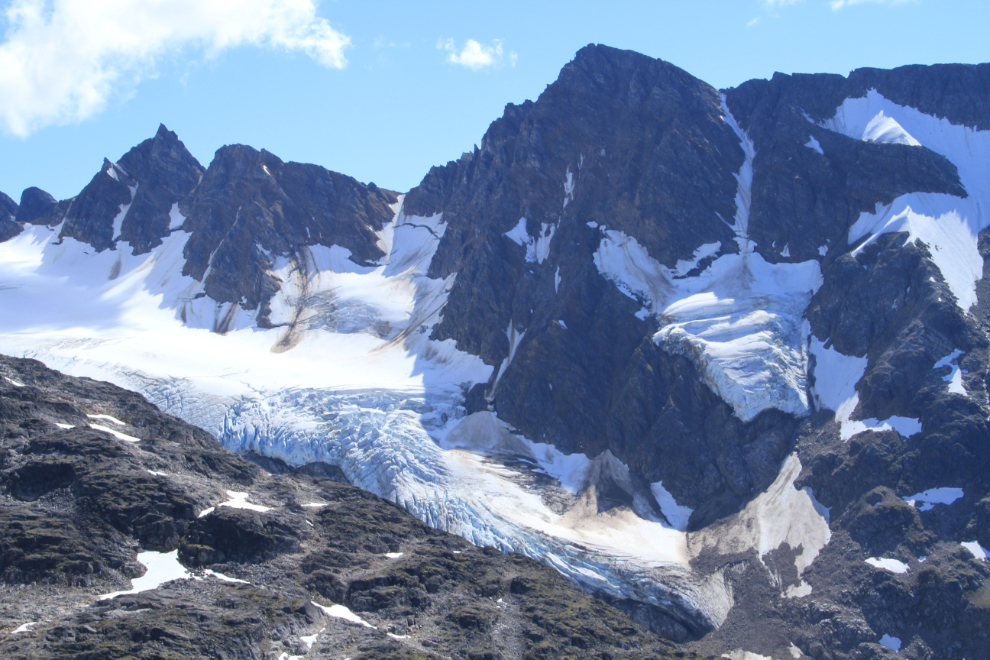
Looking towards the Chilkoot Trail summit as I began my descent.
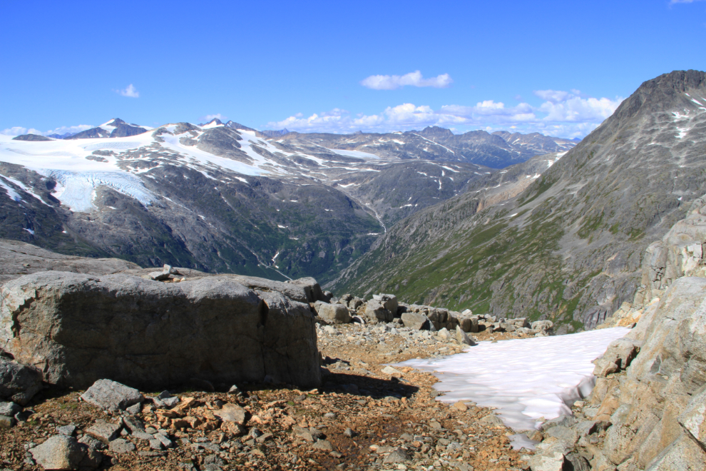
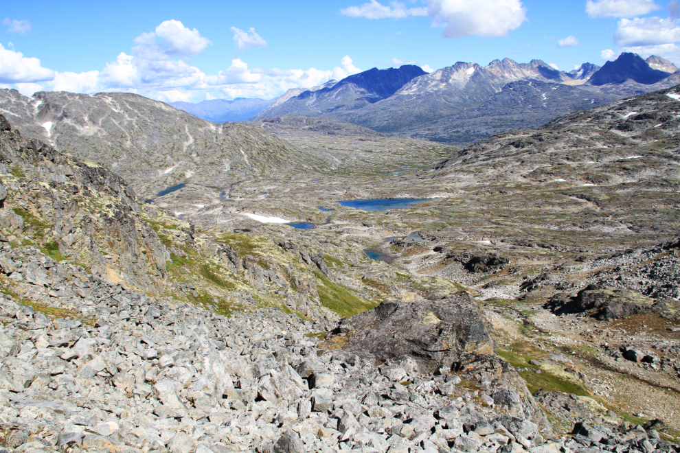
From the summit to the lowest of the headwater lakes, I went down on a different route (for no particular reason).
Several of the lakes were swimmable, but only one was irresistible 🙂
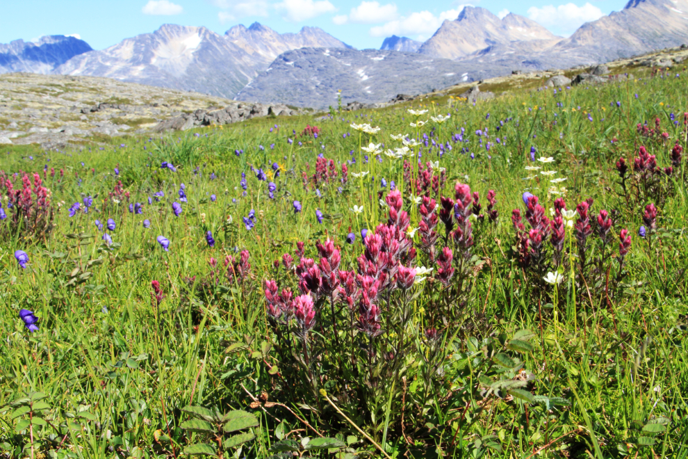
Many of the flowers are past their prime now, but this field was particularly nice. Just a few minutes before I took this shot, I had finally checked the time, and was very surprised to see that it was 4:33! It really hadn’t been my intention to spend this long (and that’s why I have another SPOT, so Cathy can see more or less what I’m up to!).
I quit dawdling after seeing the time, and by 5:30 was back at the base of the very steep climb back to the highway. About 15 minutes later, I had my bike gear back on, and was headed home.
