A look around Montana Mountain by 4×4
Lately I’ve mostly been going to places that are too extreme to take my dog, and I feel bad about that, so a few days ago, Monty and I did a little adventure in our 4×4, to Montana Mountain at Carcross.
We had a gorgeous day for wandering, and as we drove south I was assessing all the different places we might go on the mountain. The lower part of the mountain has a bad vibe for me – I don’t really know why – and the Brute Mountain part of the Montana complex isn’t suitable for Monty anyway.
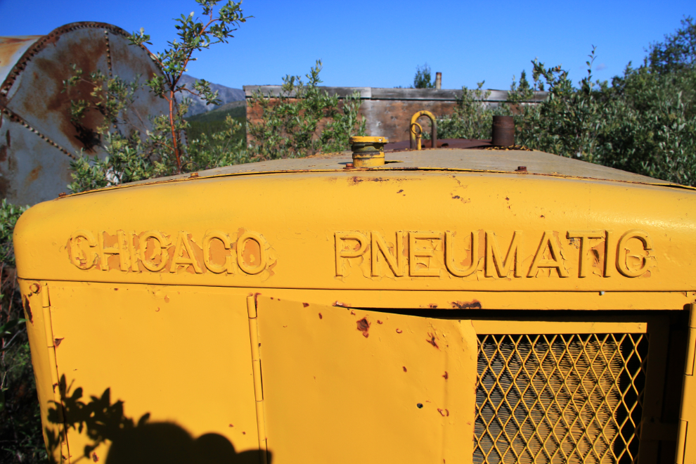
I poked around the old Arctic Gold & Silver mine’s mill site for a few minutes. A bit of equipment is still there, including this compressor. It’s all slowly being hidden by willows. This is the spot where the Jeep tours from Skagway turn around – where their “4×4” adventure ends, ours hadn’t even begun yet 🙂
We kept climbing, turning onto a road that was built in 1905 and is still passable – the 1970s road that most people stay on ends at a landslide far below us.
In the 1990s, the Peerless Mine was the summer home of a guy who drove up to it in a 1966 Studebaker – his colourful paintings of unicorns and other fanciful scenes on the cabin have faded into obscurity now.
The view to the north from the same spot that I shot the photo of the mine above. Lake Bennett can be seen dead-centre, the Carcross Desert just above the road.
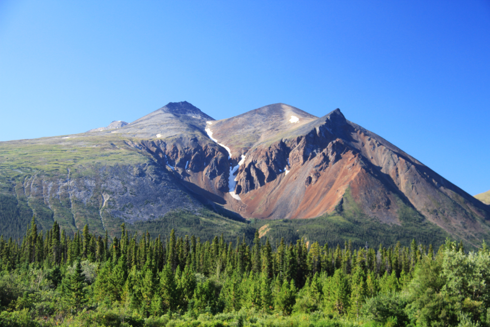
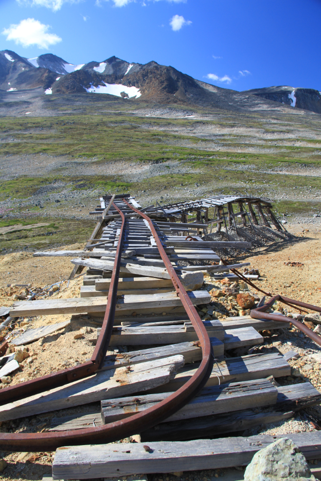
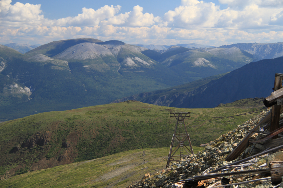
The most-photographed artifacts on Montana Mountain are certainly the tailings dumps for the final adit of the Arctic mine complex, the Arctic Caribou, from the early 1970s.
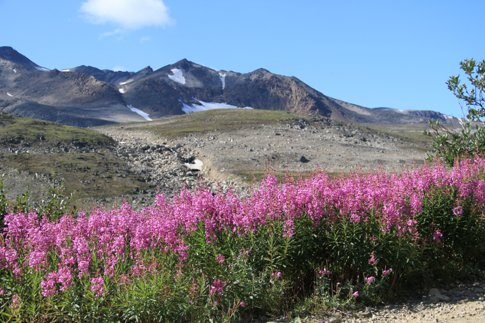
Much of the fireweed in Whitehorse has started to go to seed, but high on the mountain it’s at its peak. The elevation at this point is 5,500 feet (that’s 1,676 meters, but when it comes to mountains, metric is pretty much meaningless to me).
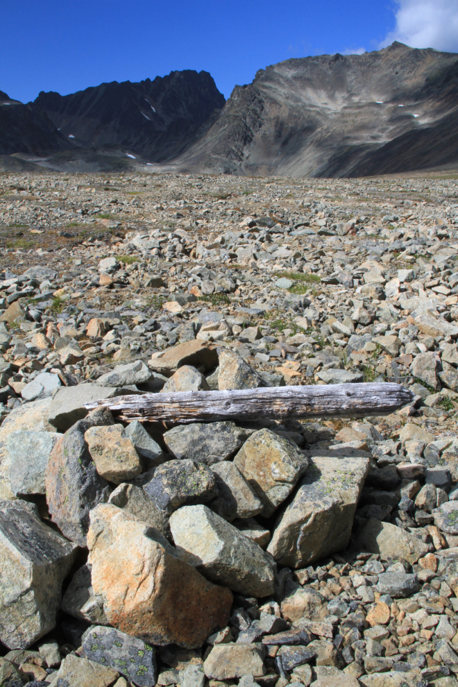
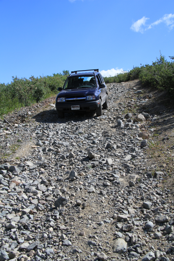
This is the second creek crossing. Back when the hippy-guy was bringing his Studebaker up here, I was driving my Acadian (Chevette) up – through the creeks and everything. The roads have gotten much rougher, though – a dramatic Spring breakup in 2005 did huge damage to the treeline-area roads especially, and Cathy’s Tracker is the perfect vehicle for navigating them now.
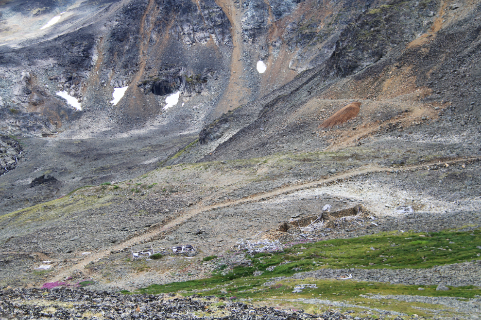
The ruins of the Mountain Hero silver mine from 1905-06. The large stone bunkhouse spans the centre of the photo, while the nearest grassy area was the site of a wall-tent stable for the horses and mules.
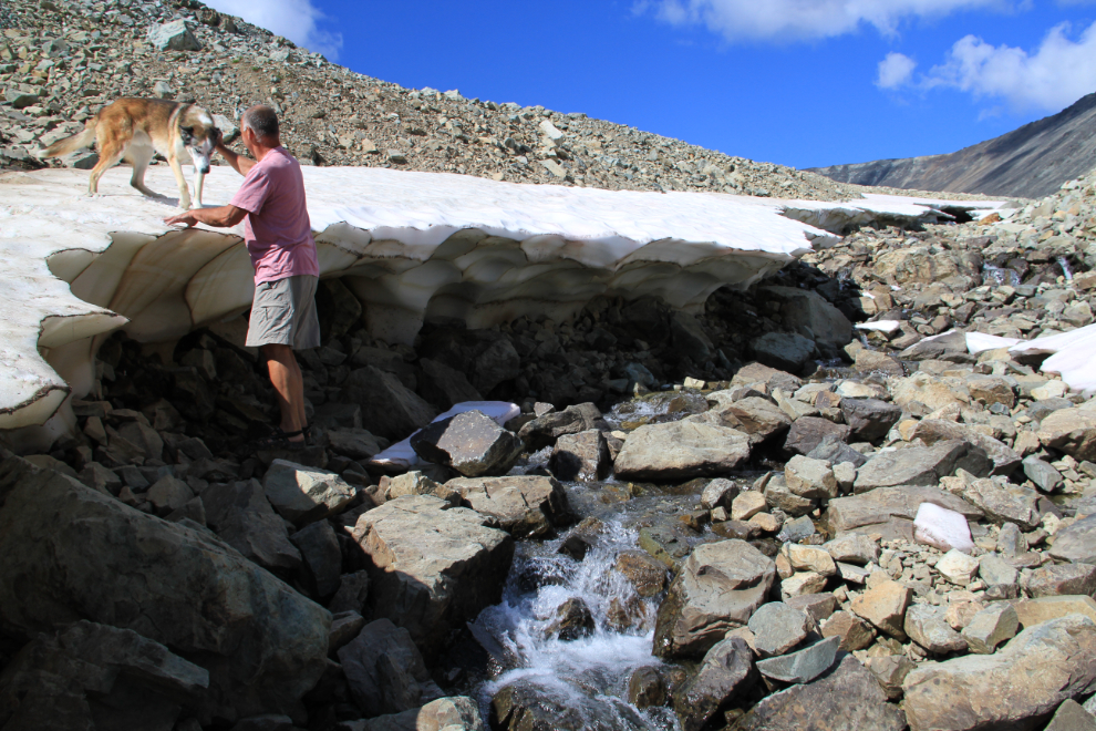
I decided that the creek that flows past the Mountain Hero would be a good walk for Monty and I – this is the headwaters of Conrad Creek which flows under the South Klondike Highway at Km 88.9.
Monty took the high road, I took the low road. I quickly went up and joined him to get him away from that edge that could collapse, though.
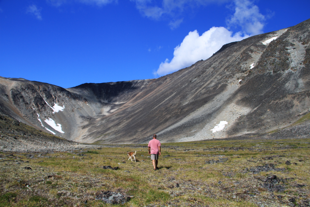
The little valley provided beautiful walking for a while.
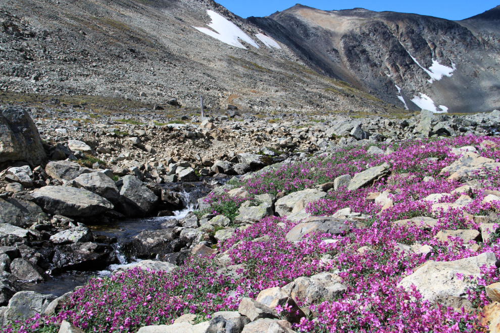
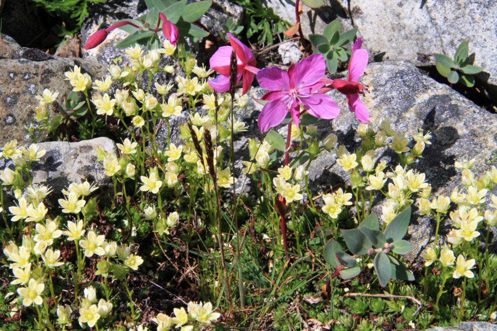
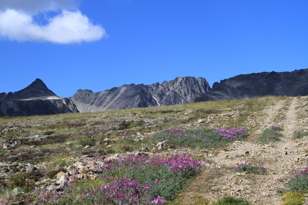
The dwarf fireweed, a.k.a. river beauty (Epilobeum latifolium) was also at its peak along the creek.
This aerial tramway led from a dock at the town on Conrad to the Mountain Hero mine. When it was built, the span across the valley in the lower part of the photo was the longest unsupported span of any tramway in the world – long after it was abandoned, ore cars swinging on the span snapped the cables and destroyed several tramway towers.
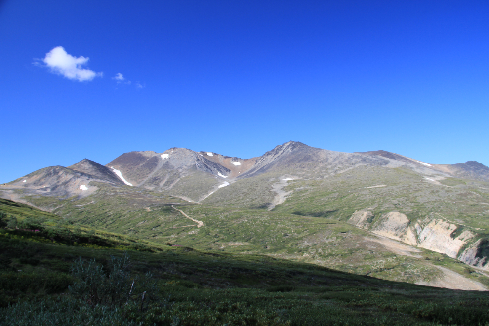
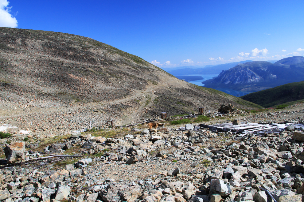
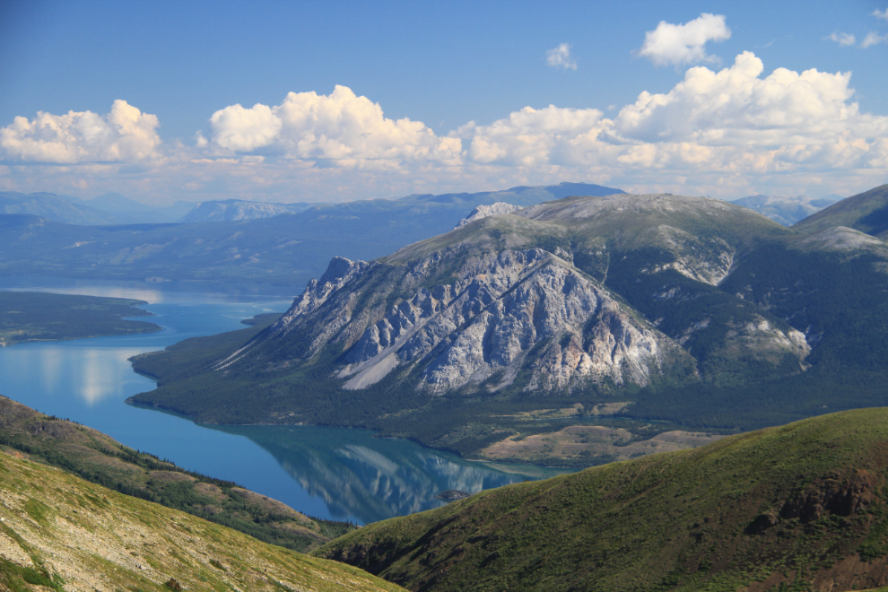
The view from the mine down to Windy Arm and Tagish Lake is stunning on days like this.
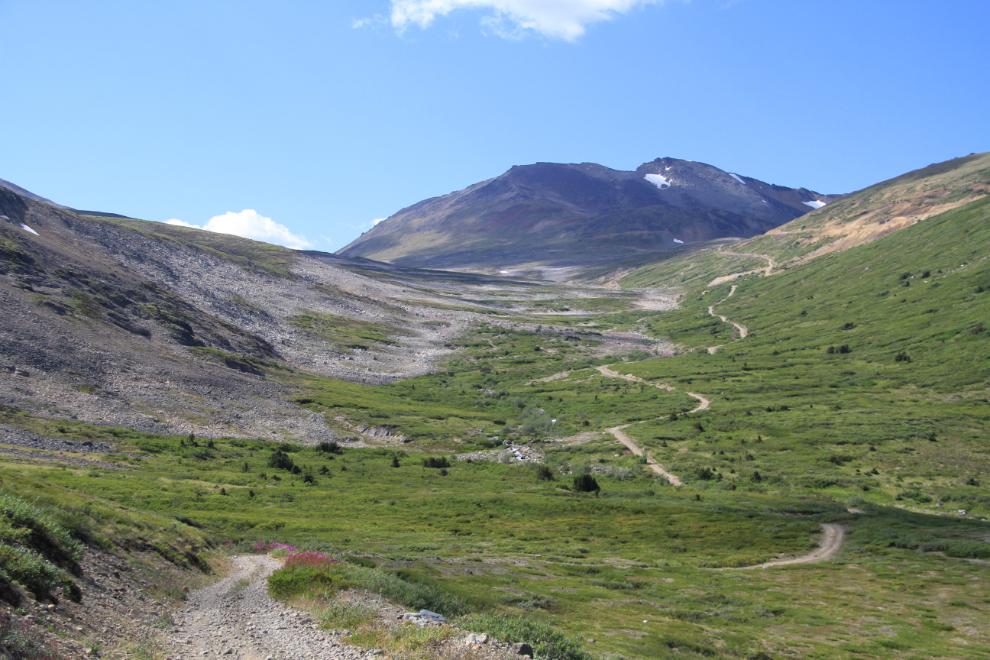
We continued along the road, past the Montana Mine without going up for a look, headed for the lake at the Thistle/Aurora mine site.
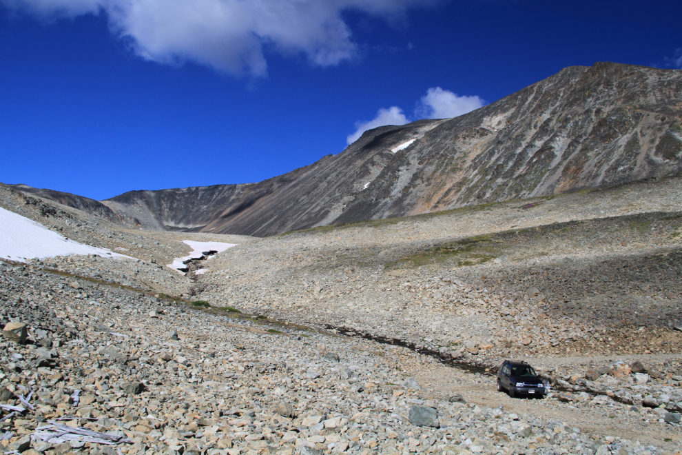
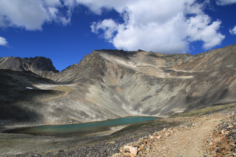
It’s a spectacular sight, but I was a bit nervous, as the rocks here are sharp and I’ve had several flat tires in this area over the years. The plan was the drive down to the lake and then walk from there, over to the mine site and then up the road seen at centre left – it leads to a lake that’s even more spectacular.
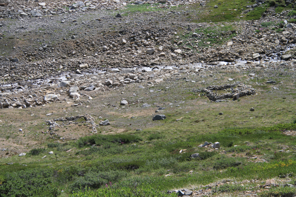
Monty was rather flat, though, and the walk at the Mountain Hero mine seemed to have been enough for him, so we just had lunch at the lake and then started back. This is the Thistle/Aurora mine site. It had a layout similar to the Mountain Hero – the stone bunkhouse is at the lower right, the stable to the left of it.
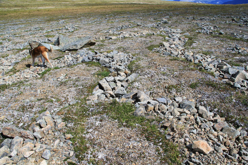
I decided that a walk on almost-level ground might work for Monty, and there’s an area of about 100 acres between the Thistle/Aurora mine site and the Montana that would fit the bill nicely. On that level plain, this is one of the original claim posts from the Conrad period (1905). When I first started doing my research for what would become my book “Fractured Veins & Broken Dreams” 20 years ago, the Roman numerals on many of these posts were still legible.
One of the really cool things in this area is the frost-sorting of the ground. The annual freezing and thawing in high alpine and Arctic regions separates the coarse and fine materials and produces a wide variety of patterns, including raised circles. if geomorphology intrigues you too, Google “frost sorting” to find out more.
At the bottom of this valley, we’d once again make the creek crossing I showed you above. That’s Brute Mountain ahead – the main peak of Montana Mountain (7,233 feet) is just out of view to the left.
Those stone foundations were topped by wall tents during the original mining exploration of the mountain 110 years ago.
This is the steepest and roughest section of the road now – it’s actually had some repairs done in the past couple of years, as it had gotten barely passable even in the Tracker.
Our little adventure didn’t go quite as I’d planned. Bad vibes and a rather flat dog combined to make the experience much less than I’d hoped. In an hour or so I’m going to head up Montana Mountain again, but alone (as I’m back into extreme country), on foot and from the oposite side which has always had good vibes for me.