Hiking to the Heart Creek Bunker near Canmore, Alberta
Backing up to Saturday afternoon (April 5th), the whole family headed into the Rockies for a hike to an abandoned Cold War bunker and then for dinner at Canmore. It was an excellent day 🙂
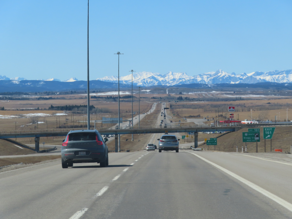
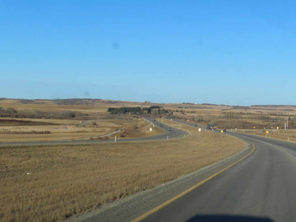
From southeast Calgary, it’s 100 km to the trailhead. It was about 10°C and sunny when we left home – pretty much a perfect day for what was planned. It takes a while to get through the city, but once on Highway 1, the Trans-Canada Highway, the views of the Rocky Mountains getting closer and closer are wonderful.
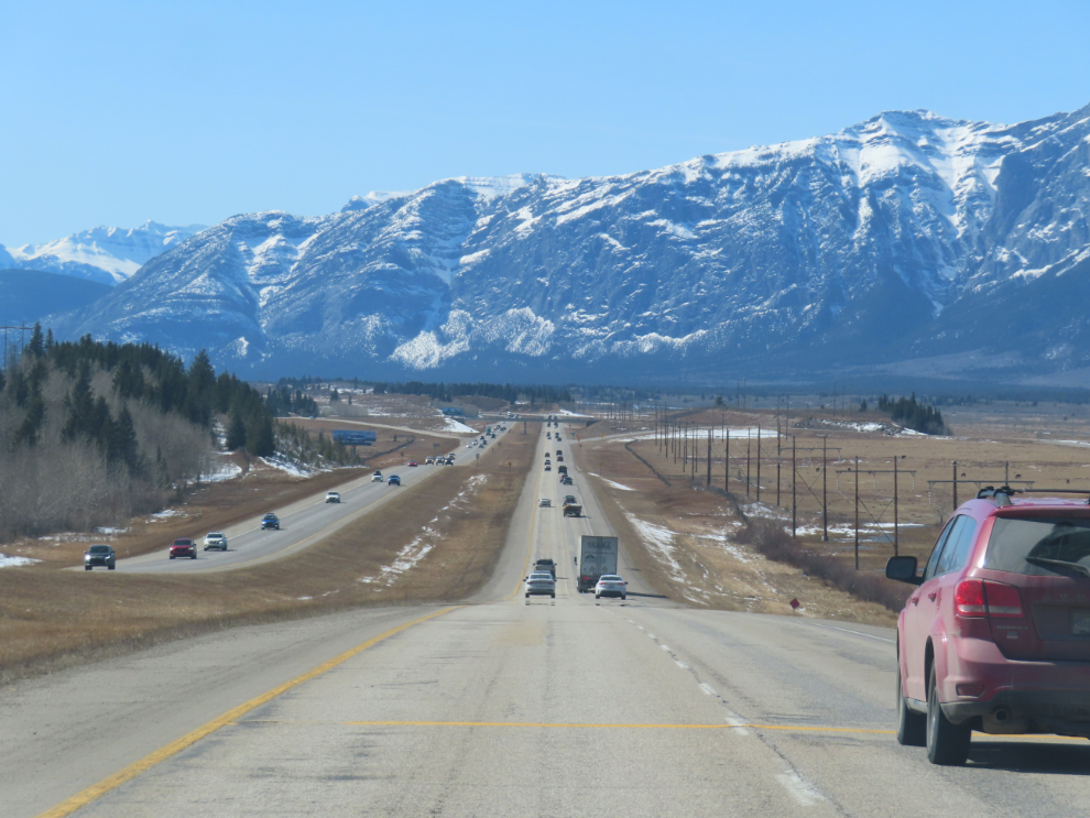
On Highway 1, the Rockies are a sudden, dramatic wall, and some individual peaks are particularly impressive.
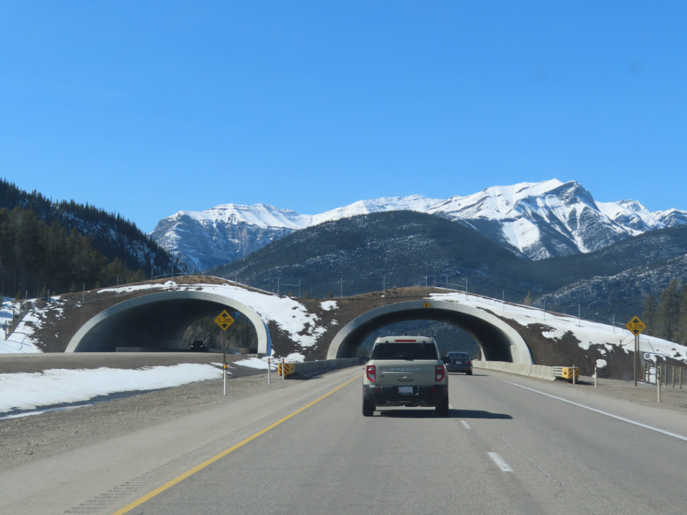
I love seeing the wildlife overpasses and always wonder what creatures might be using it as we pass under at high speed.
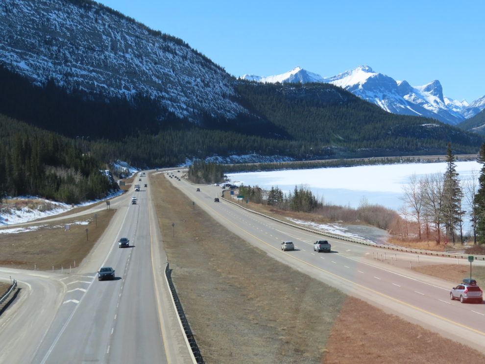
The view west on Highway 1 from the overpass at Lac des Arcs, a few hundred meters from the trailhead.
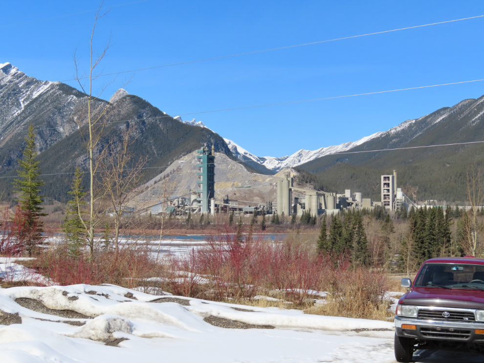
The Lafarge cement plant at Exshaw has been a landmark for my entire life – I first passed by it 66 years ago. The plant was built in 1906, and with 160 employees, it’s now the largest in Canada. This is the view of it from the trailhead parking lot.
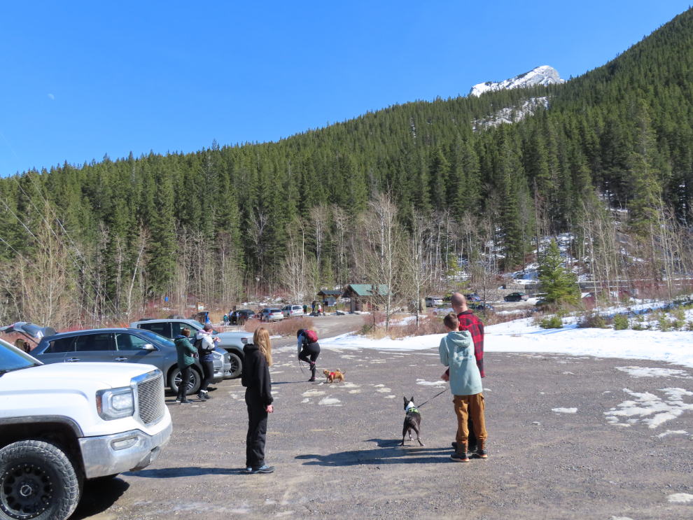
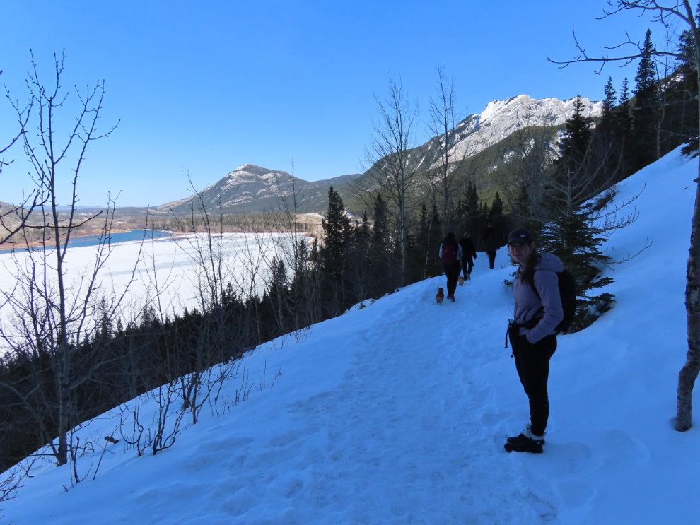
There are two parking lots, for two trails. In the distance you can see the parking and washrooms for the very popular Heart Creek interpretive trail. There were 9 of us, with 3 dogs, and we were quickly ready to head out.
The bunker trail is the old road to the project.
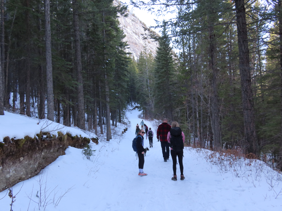
The trail wanders around and up and down, and at one steep downhill I almost had to quit. Footing was far too insecure, and the thought of falling and hitting my head scares the hell out of me. Luckily I was quickly offered both a pair of poles and ice cleats – the poles were exactly what I needed to continue.
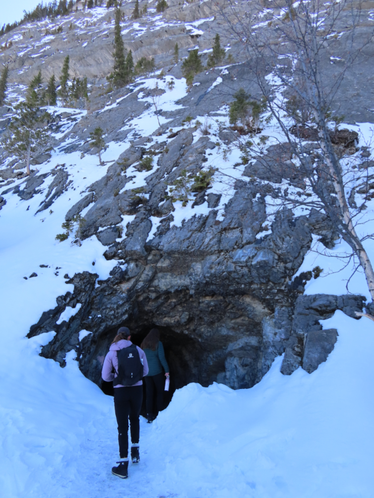
It’s 1.9 km to the tunnel entrance, and we reached it in half an hour.
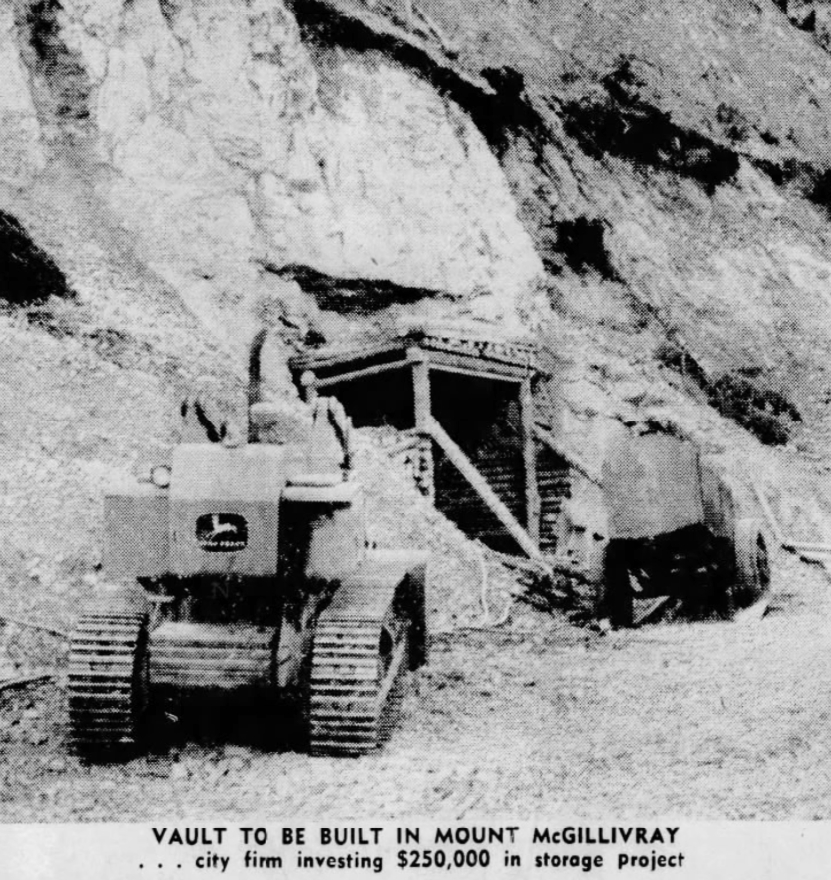
It’s a very interesting project. An article about it that appeared in the Weekend Magazine included with The Montreal Star and other newspapers on June 6, 1970, began with: “Joe and Stan Rokosh have poured $250,000 into a hole in the ground. A hole they have turned into one of the world’s biggest – and most secure – filing cabinets. They’ve blasted a tunnel into the side of Mount McGillivray high above the Trans-Canada Highway 50 miles west of Calgary. Vaults were carved out of the limestone to provide permanent and virtually impregnable protection for valuable documents, accounts, records, films and the like. Now virtually complete, Rocky Mountain Vaults and Archives are the only facilities of their kind in North America.”
The caption on the drawing below was “Cutaway diagram shows Rocky Mountain Vaults and Archives as they could eventually appear. This August, five vaults will be opened, ready to store everything but money and explosives.”
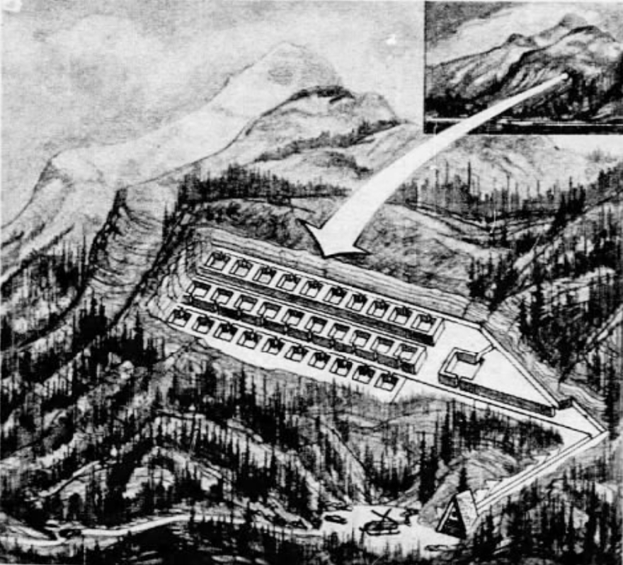
The planning for the project began in 1954, but it wasn’t until August 1965 that the Rokosh brothers, experienced hardrock miners, got a special mineral lease from the Alberta government to get started. The lease was for 21 years duration, giving them the rights to 127 acres at $5 per acre, conditional upon the company beginning work within a year, and having the vaults in operation within three years.
I love tunnels. This is a coarse cut, not what I was expecting from a project like this.
Despite the conditions on the original lease, drilling didn’t get underway for four years – the photo below is from an article in The Calgary Herald of October 18, 1969. The company still had fancy dreams, and said the first vaults would be open within a few months.
But there it died. Although there was a great deal of investor interest at first, actual money never appeared. After getting the rough cut done, it was going to cost another $150,000-200,000 to air condition the place, install heat and lighting, and put a concrete floor and vault doors on, and the Rokosh brothers quit. In 1984, it was reported that Joe was still working at his blasting business and had the vault project on a back burner, but Stan had retired.
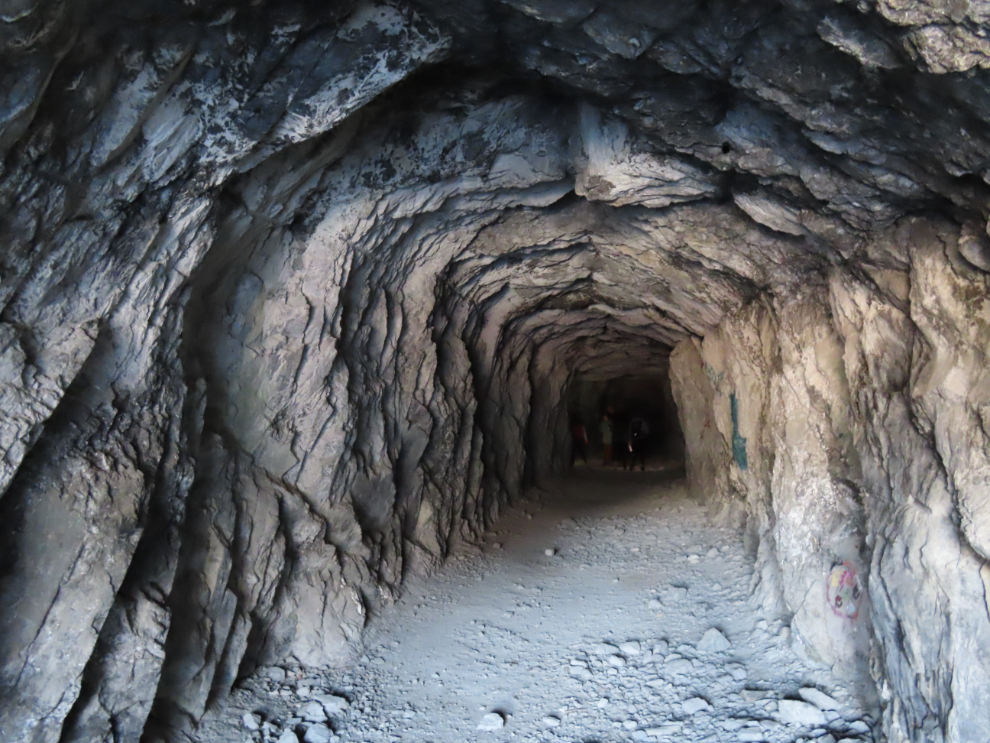
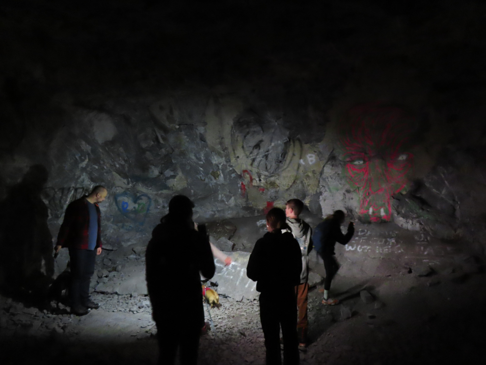
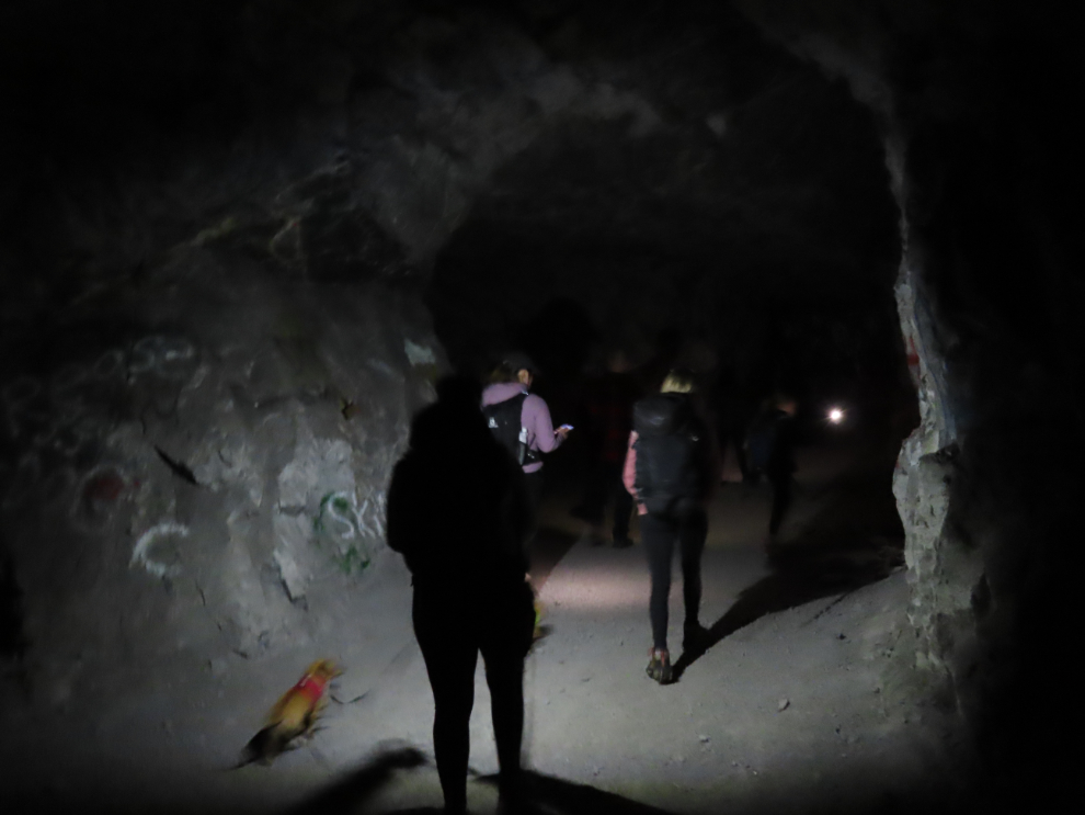
Today, explorers find a 50-meter-long main tunnel with five side chambers (the vaults), with graffiti covering some of the walls. I expect that this is many people’s first experience with real darkness – I would have loved to have my good headlamp to give a good broad view.
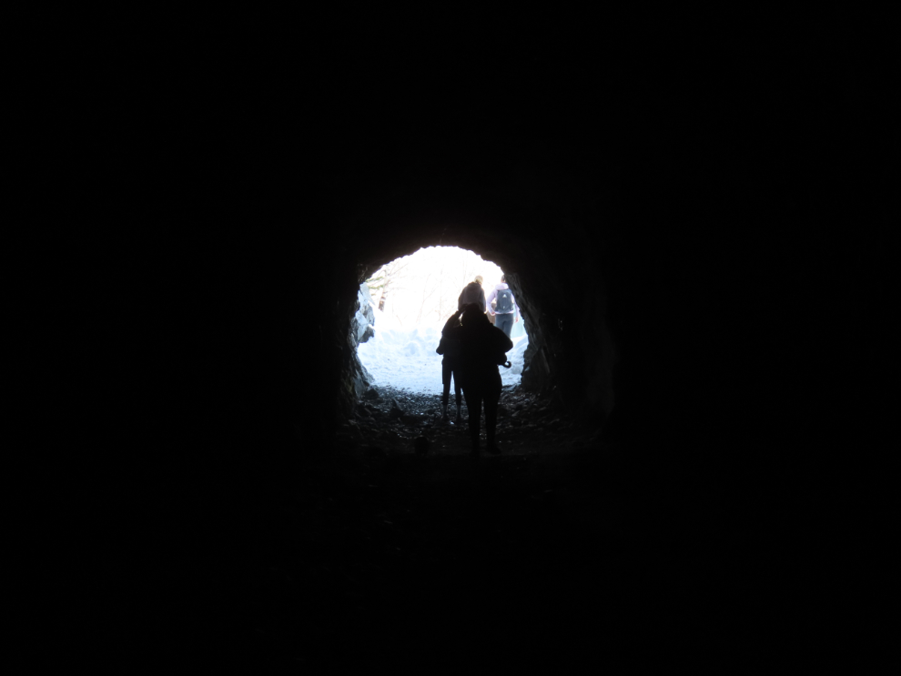
Seeing “a light at the end of the tunnel” is always reassuring 🙂
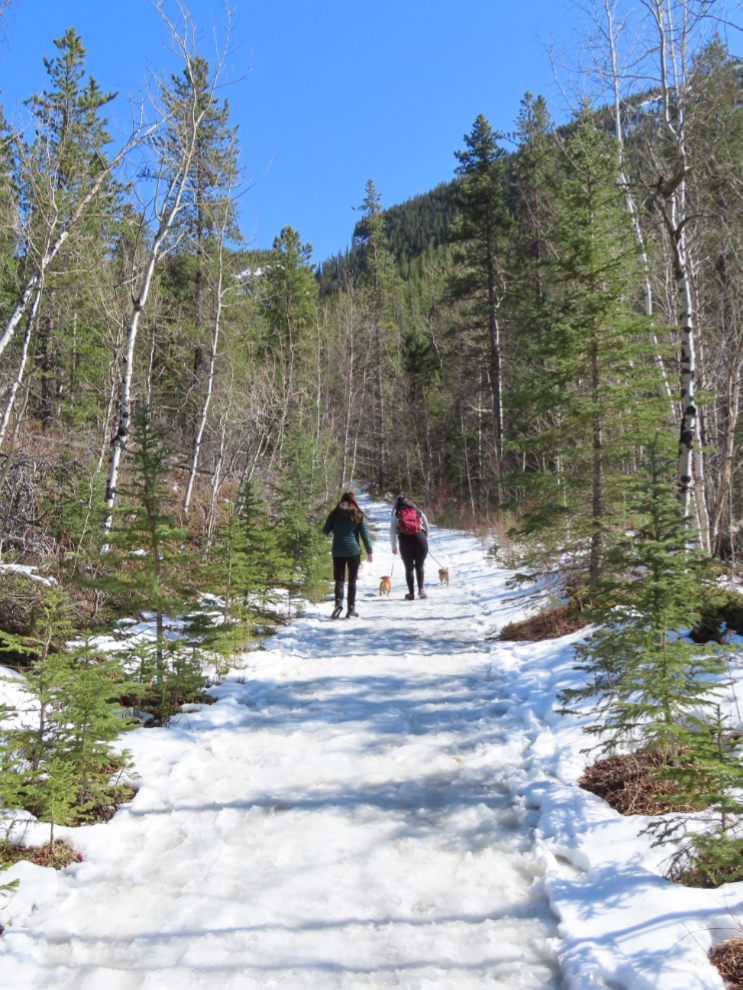
Everyone seemed to really enjoy that experience, and I had a much easier time on the walk back to the car, perhaps because the snow had softened as the day warmed up so gave better traction.
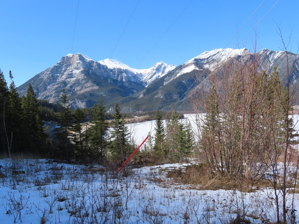
The view to the west, over the highway and Lac des Arcs.
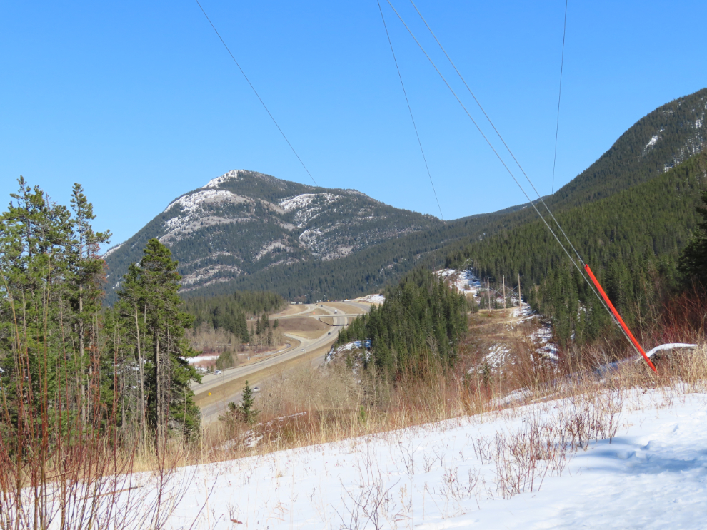
The view to the east from one of the open parts of the trail.
The steep hill was much better going up 🙂
I had unfortunately forgotten my phone in the car – I would have liked to have this track on my Strava page.
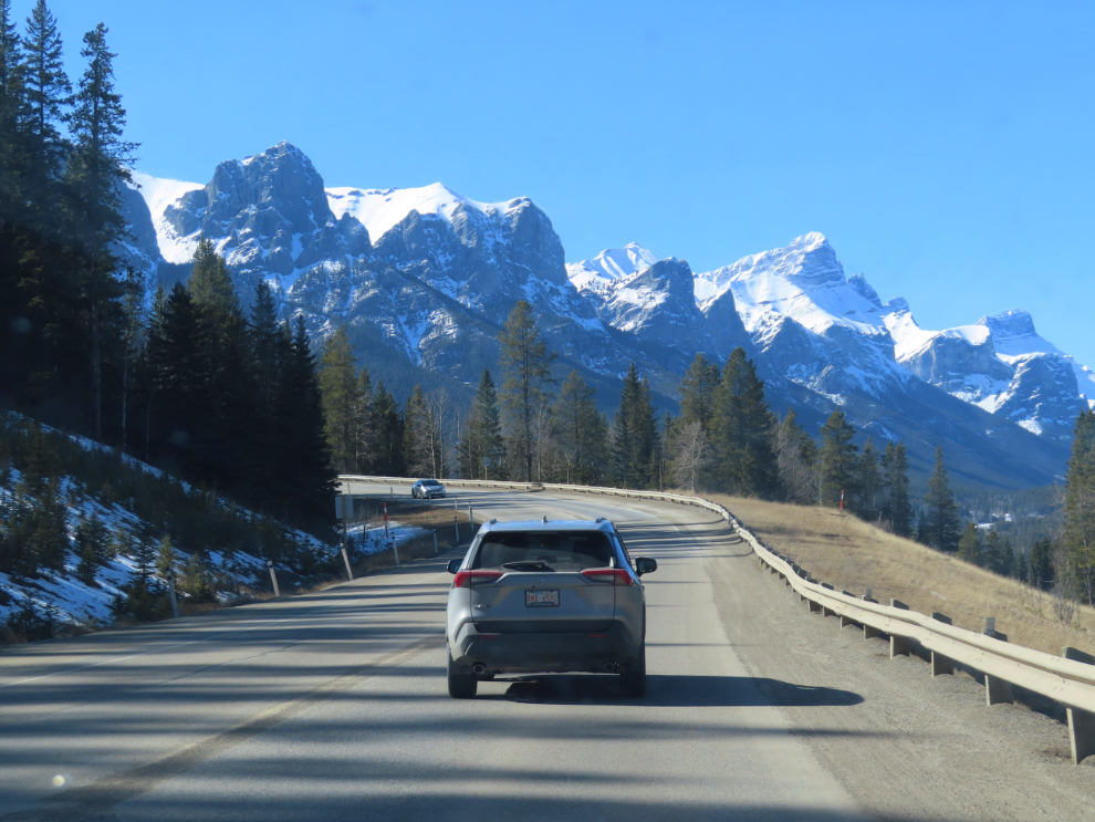
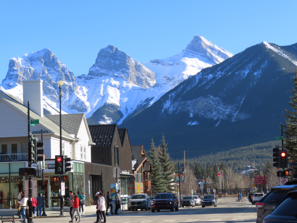
Back at the car, a few of us were thinking about food, so we quickly decided to see if we could get dinner in Canmore, just 17 km to the west. The next photo shows the scenic route to downtown Canmore, on Three Sisters Parkway.
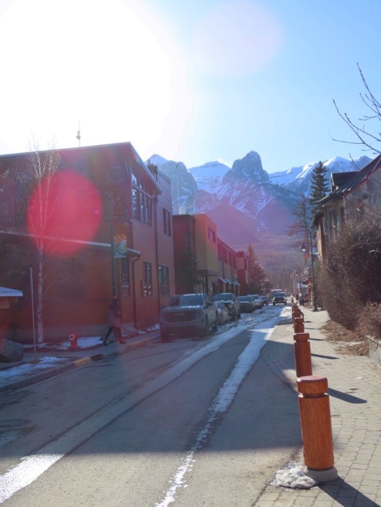
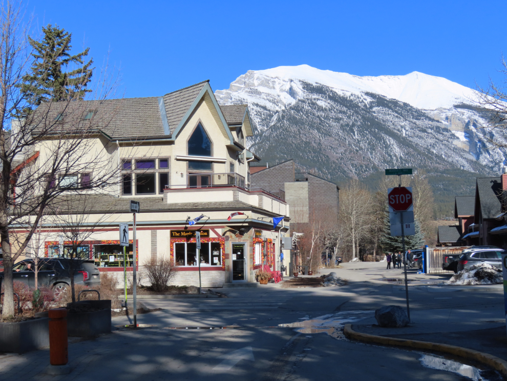
Downtown Canmore was very busy – it must be a zoo in the summer! But it’s a lovely town in a spectacular setting. I looked at a couple of real estate company windows and saw homes priced at up to $7 million. A couple of art galleries I went into reflected that market, and even a candy shop in the high-rent district had prices at least double what they would be elsewhere.
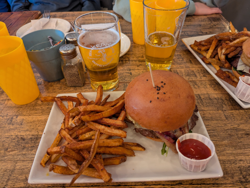
Tavern 1883 looked like a good option, and amazingly they were able to set a table for the 9 of us within about 10 minutes.
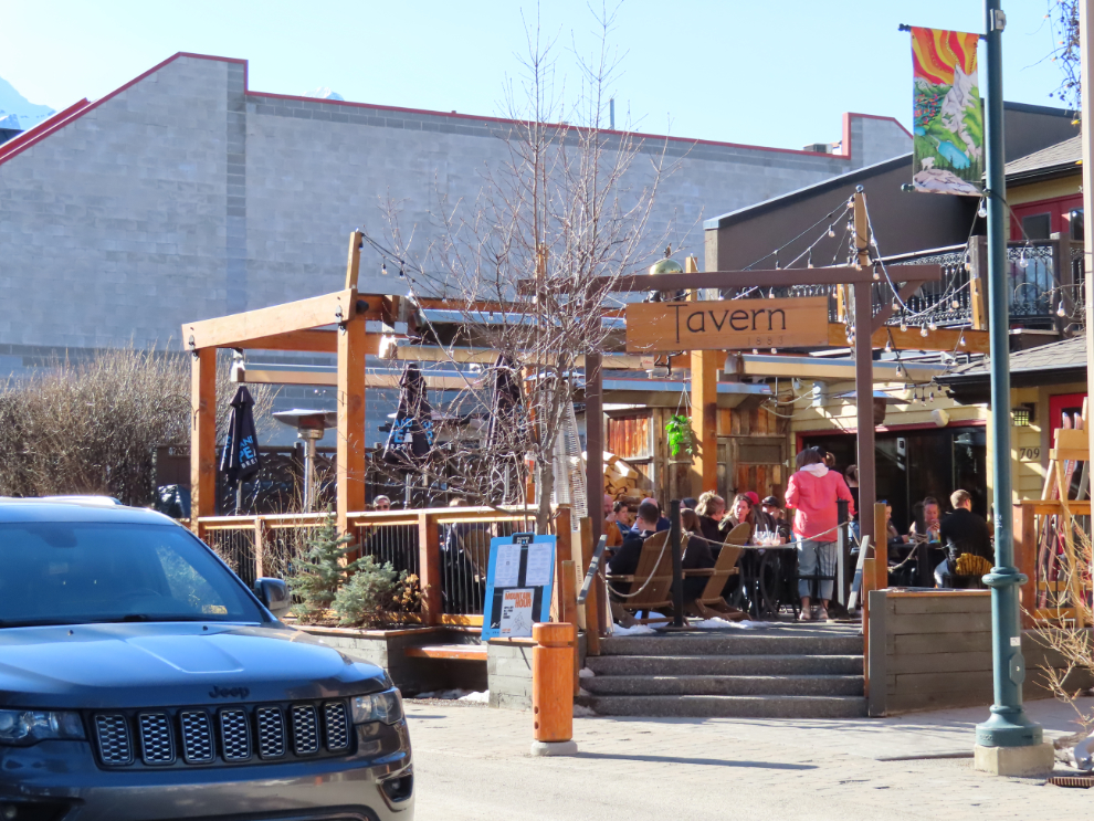
My Google review, with 5 stars, says simply “Excellent food and exceptional service even on a busy Saturday evening.” It was exactly what we were looking for.
We explored on foot for a bit more, then started for home.
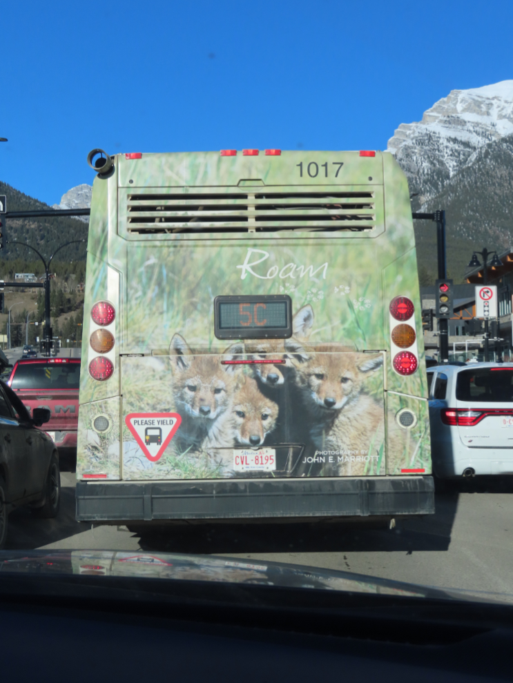
Cool bus wrap 🙂
I had expected that I’d sleep most of the way home, but no, I stayed awake.
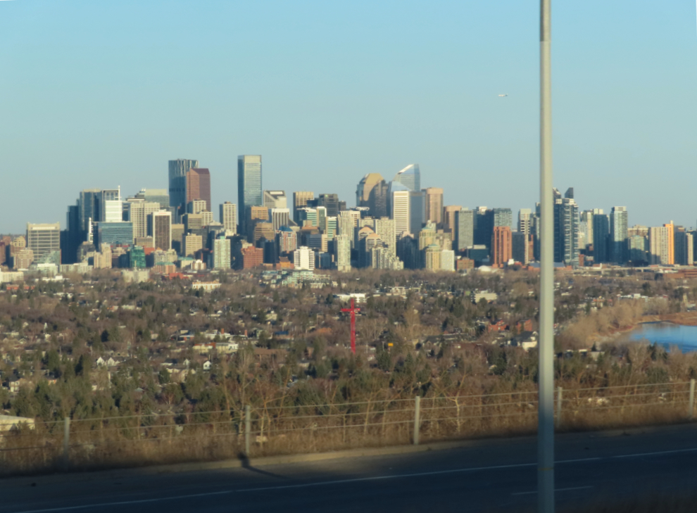
One final photo of downtown Calgary, and that’s the end. On Tuesday, April 8th, I flew home.