Hiking the Skyline Trail, Cape Breton
On Sunday, July 5th, Day 38 of our trip and the 6th day in Nova Scotia, we drove 110 km of the Cabot Trail from Chéticamp to Ingonish, and I hiked the 8.2-km Skyline Trail in Cape Breton Highlands National Park. In the last post I told you about the drive.
Reservations for parking at the Skyline trailhead are mandatory as of June 26th this year – that costs $13 ($9.50 for parking and a $3.50 reservation fee). Judging by the signs as you approach the check-in kiosk, saying not to abuse staff, many people show up planning to hike the trail and then can’t.
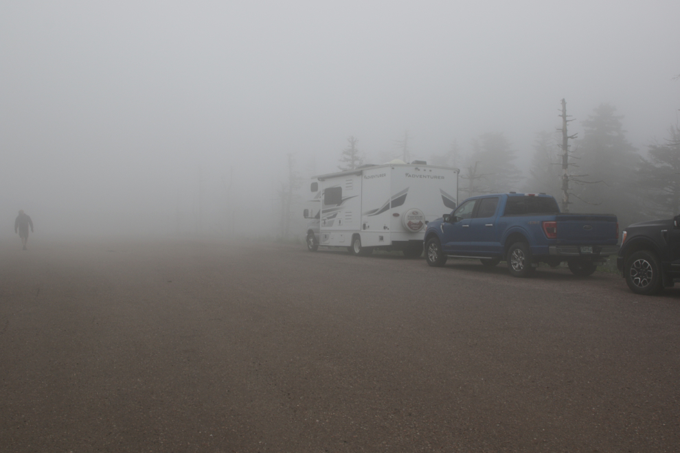
Our reservation was for 09:00 and parking was easy – there are half a dozen spots for oversize vehicles and about 50 for cars, with the reservation good for 4 hours. The fog (and fairly strong possibility of rain) was disappointing but there was never a question about whether or not I was going to do the hike
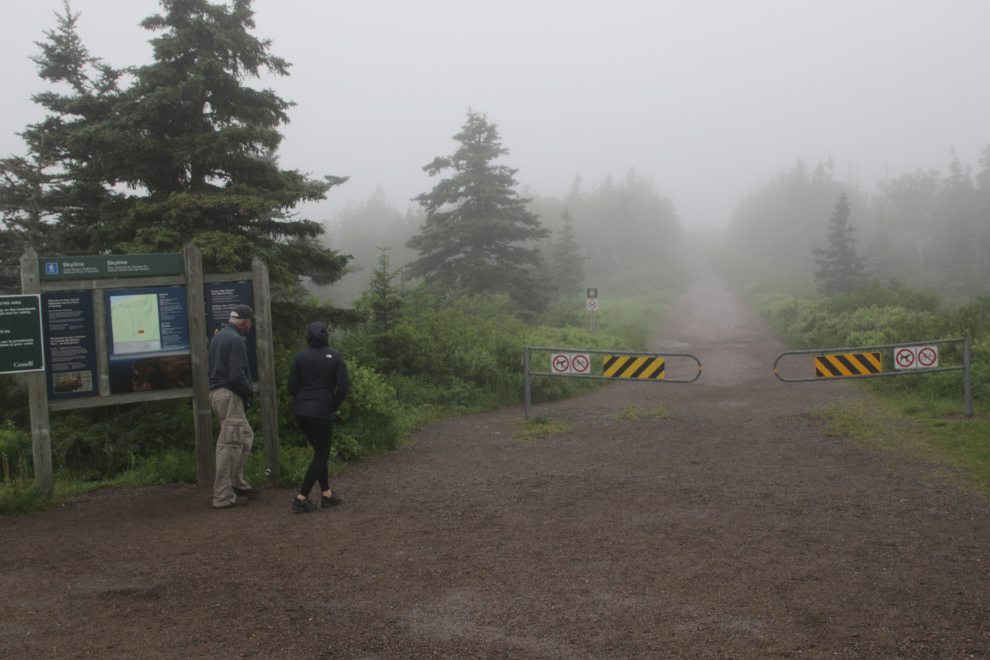
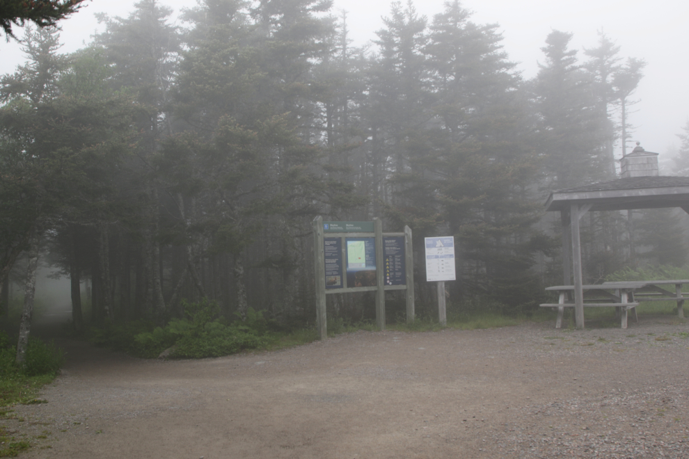
The start of the trail – this was actually shot in the rain as I finished the hike.
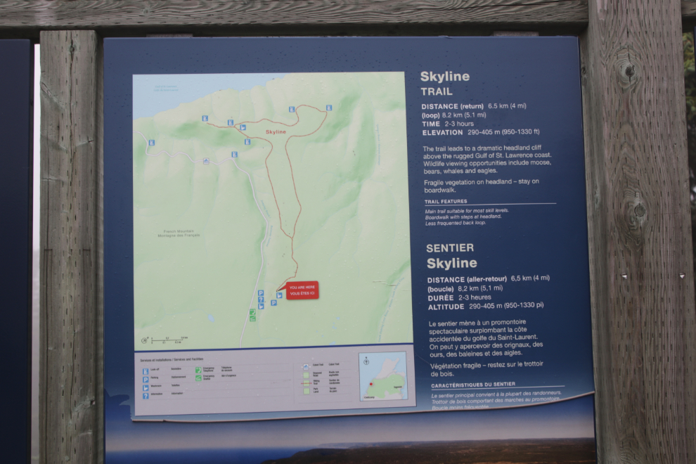
The distance statement is confusing – what that means is if you walk to the viewpoint at the start of the stairs and then return to our vehicle it’s 6.5 km. If you walk the whole loop it’s 8.2 km. With the stairs and another viewpoint added, Strava logged my hike as 8.96 km with 187 meters of elevation gain.
The trail is often rated as easy-moderate. That too requires an explanation. If you just walk the trail it’s easy. If you add the stairs (apparently there are 275 steps) it’s moderate.
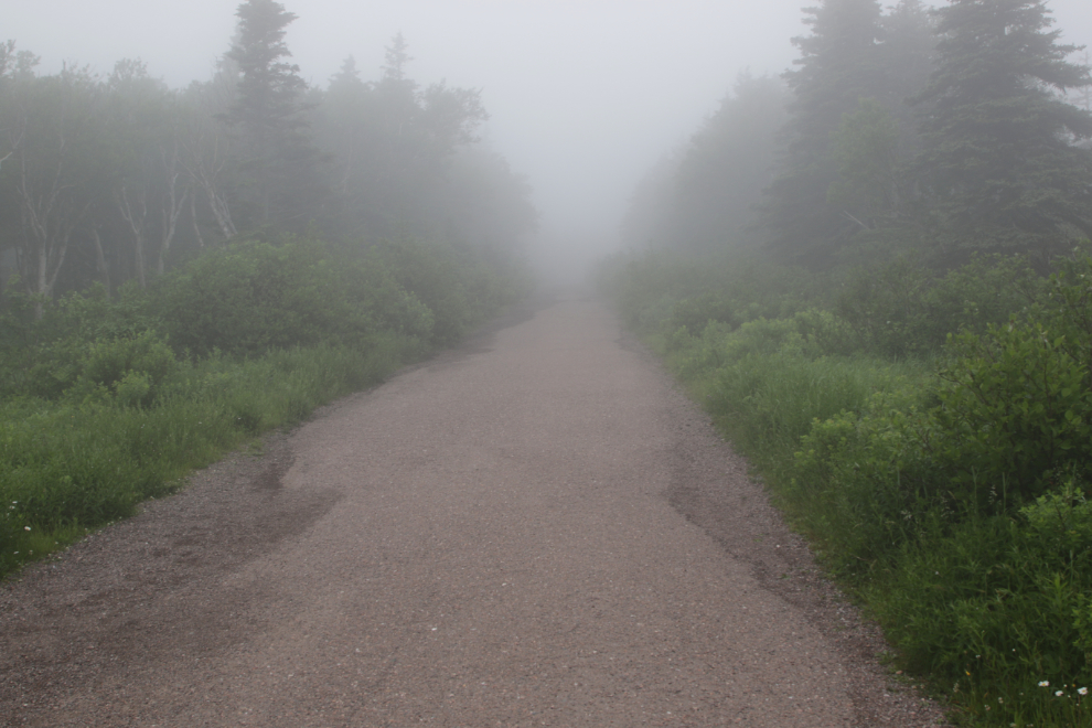
In the fog it wasn’t clear if that trail to the left was the way to go. With no fog I could have seen that the road I was on ended in about 50 meters so that trail was the only route forward 🙂
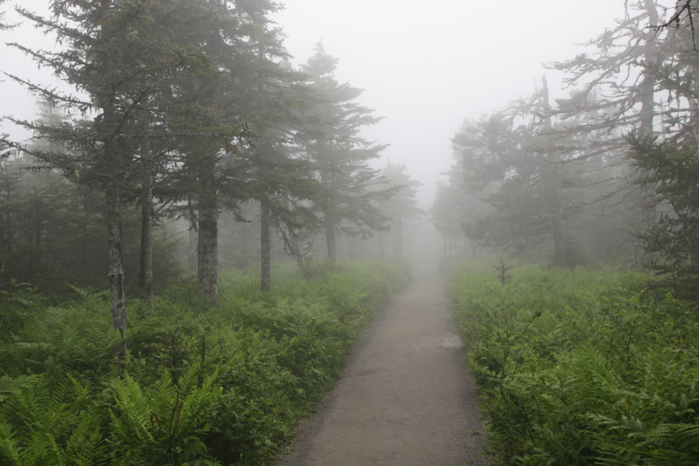
I was very quickly happy to make this a “vegetation day” – the forests, the flowers, the ferns are all so luxuriant compared to the Yukon. Spectacular views would be a bonus but weren’t necessary for a great hike.
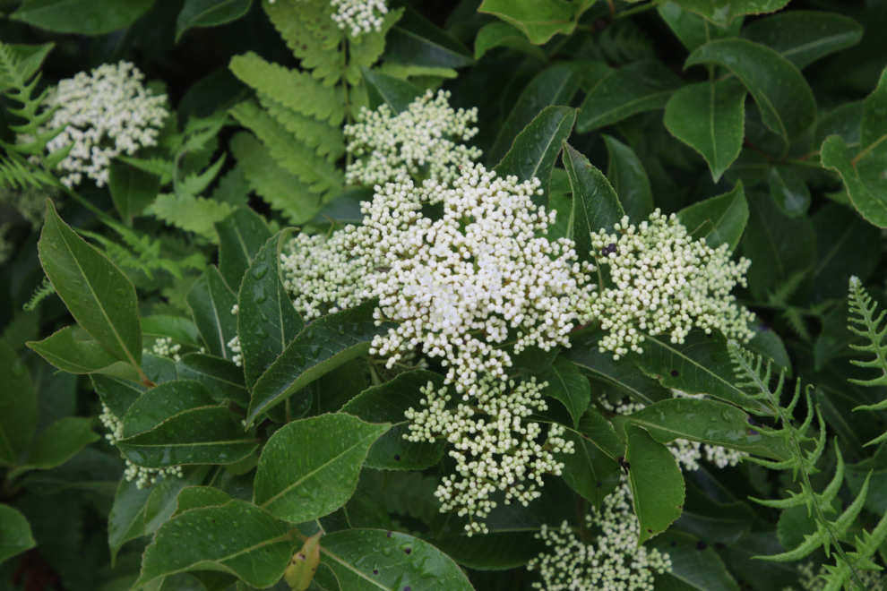
This is Black elderberry (Sambucus canadensis).
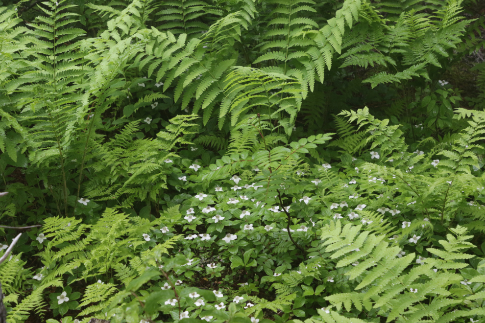
This appears to be Bunchberry (Cornus canadensis) and Lady Fern (Athyrium filix-femina).
Left for the viewpoint and stairs, right for the loop.
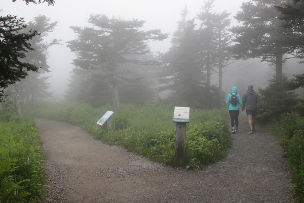
There are a lot of interpretive signs along the trail. One explained what I was looking ay here: “In the 1970s, a massive spruce budworm outbreak cleared most of the mature balsam fir forest and white birch grew in its place. With this abundance of their favourite food, moose thrived , eating the young trees and halting regrowth of the forest. By now, we would expect to see a maturing birch forest with a new generation of Balsam fir waiting to grow. Instead, the ecosystem has changed to this savannah-like one.”
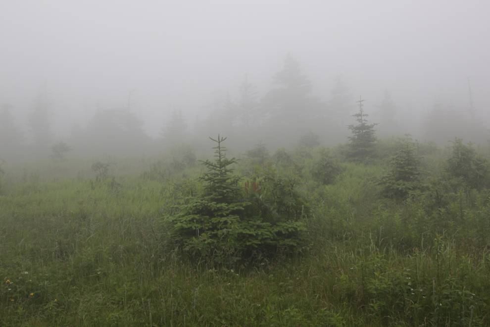
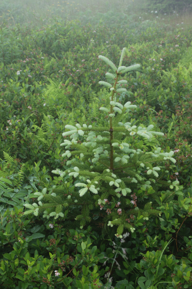
A very happy young balsam fir (Abies balsamea) 🙂
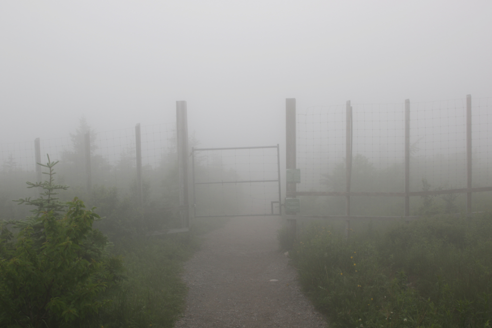
To change that fir/birch situation, a large, heavy fence has been installed to keep moose out of a large area.
Ooh, a viewpoint! Yes I went for a look 🙂
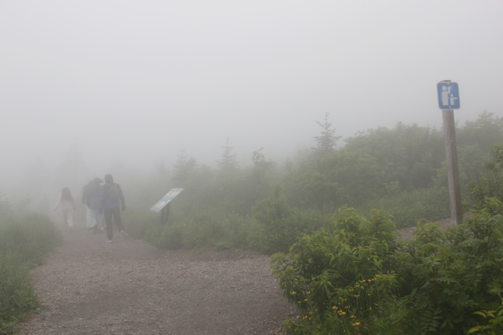
That’s a much more impressive structure than I was expecting.
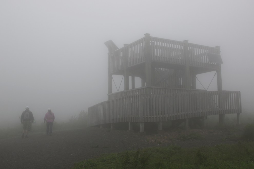
Add some water (ocean) off in the distance and that’s a good idea of what the view would be. It just takes some imagination.
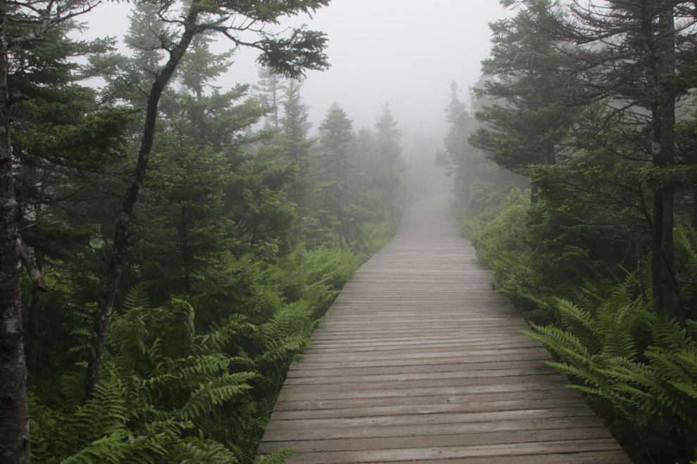
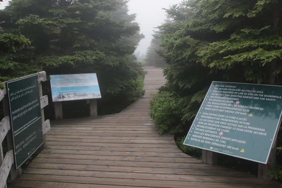
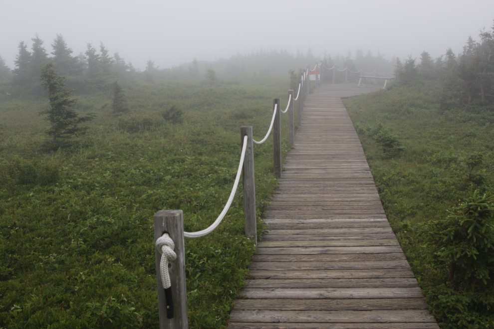
Boardwalks are used extensively, sometimes to cross wet areas, but also to protect some particularly sensitive areas. We even got a verbal warning when we checked in to not step off the boardwalks. I expect that being a park guardian in any form has some challenges in dealing with people who just don’t understand the concept of respect for places like this.
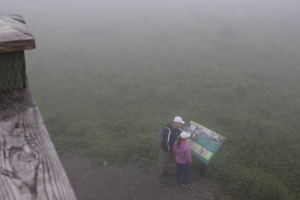
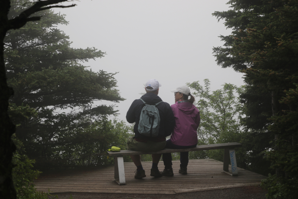
A couple of folks using their imagination. Or perhaps they were lucky enough to be able to use memories of that view.
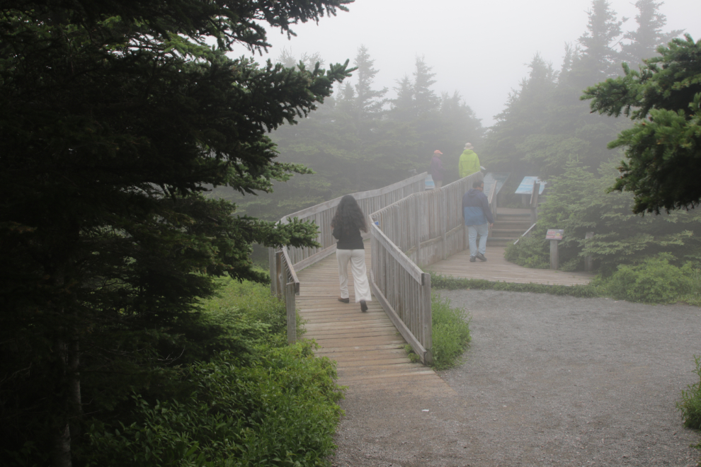
The entrance to the main viewpoint – the big stairs go down from it.
There are a lot of rules, with the basics posted in 6 languages.
More boardwalk leading to the main stairs.
At the top of the main stairs, some people seemed to be trying to decide whether or not it was worth going down.
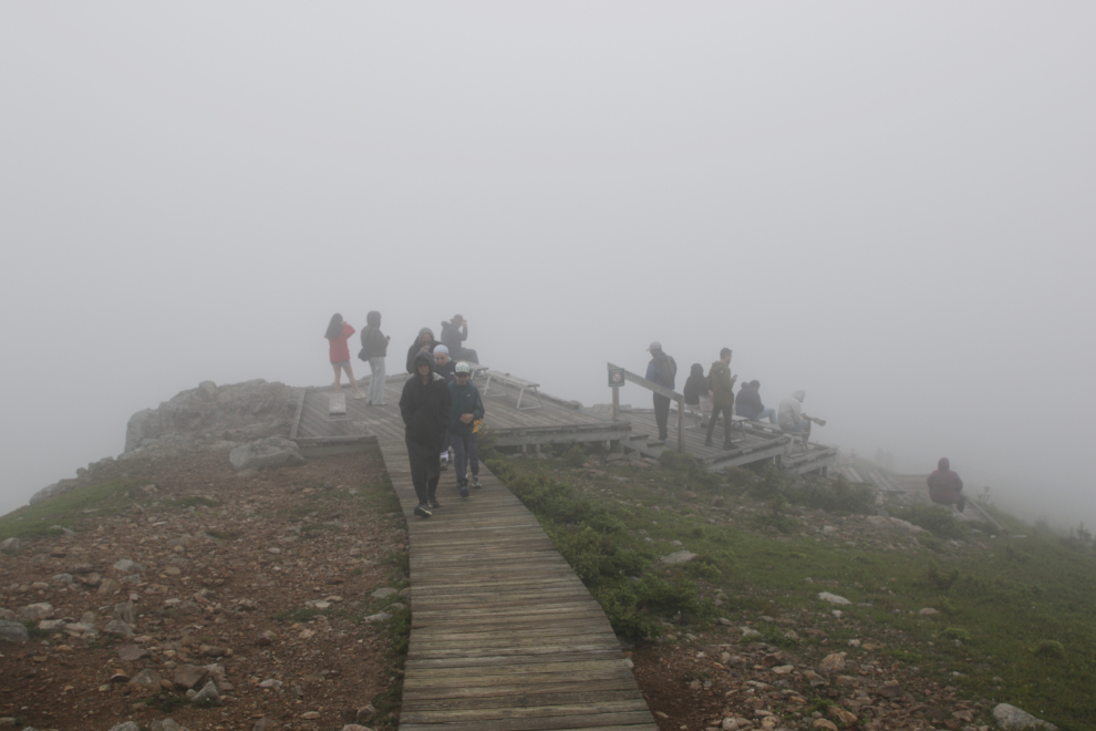
It was worth going down, because we dropped below the clouds and could see the ocean and highway. At least partially – the ragged clouds opened and closed views constantly. At one point I could actually see clearing (blue sky!) a few miles offshore, but in a few seconds that hole closed again. I waited around for a few minutes but then gave up.
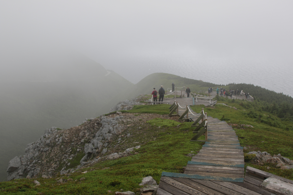
This was the best the view got. Several panels described the protections added to this area in recent years. Many trails from the free-for-all years are visible beside the boardwalk and across the distant ridge below – they will take decades to recover.
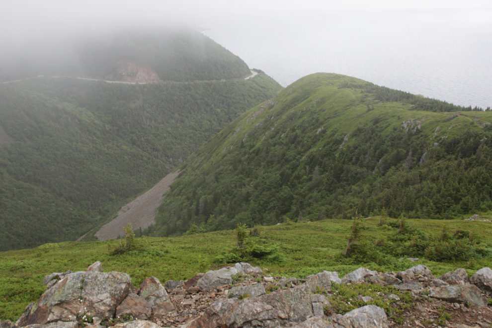
This might be a lovely spot some days. I took few photos on the loop trail – while it was a really nice walk, photographically it was just more of the same.
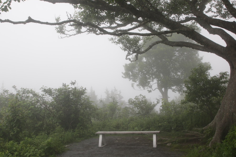
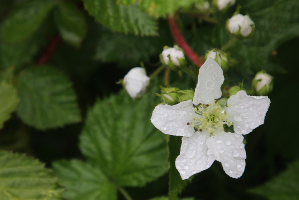
The final photo is a rain-speckled blackberry flower.
That afternoon we made it to the Broad Cove Campground on the east shore of Cape Breton, and the next day we began what was simply a 2-day drive back to Halifax to drop the RV and fly home.

About The Author
