Hiking Mount White, Yukon, again
I took a week off from hiking when we got home from Newfoundland and Nova Scotia, but I really want to keep the momentum I had going, so have done three really good hikes the past three days. On Tuesday (July 14th), I walked 14.3 km from home to explore the Wolf Creek area, the next day it was 9 km to the summits on the Fish Lake trail, and yesterday I hiked 6.9 km on Mount White, with a huge 983 meters elevation gain. Mount White was a big deal to me, so that’s the one I want to tell you about today.
Two years ago I hiked Mount White for the first time (finally). I didn’t get all the way up on August 6, 2024, and commented on that blog post “When I’m in better shape I’ll get right to the summit.” Yesterday I reached the summit.
The trail starts at a gravel pit at Km 5.9 on the Atlin Road, right across from the Little Atlin Lodge driveway. The pit access road is gated, so this is the parking area. The white van belonged to a young German fellow I met and chatted with about half an hour up. After that I had the whole mountain all to myself for the day.
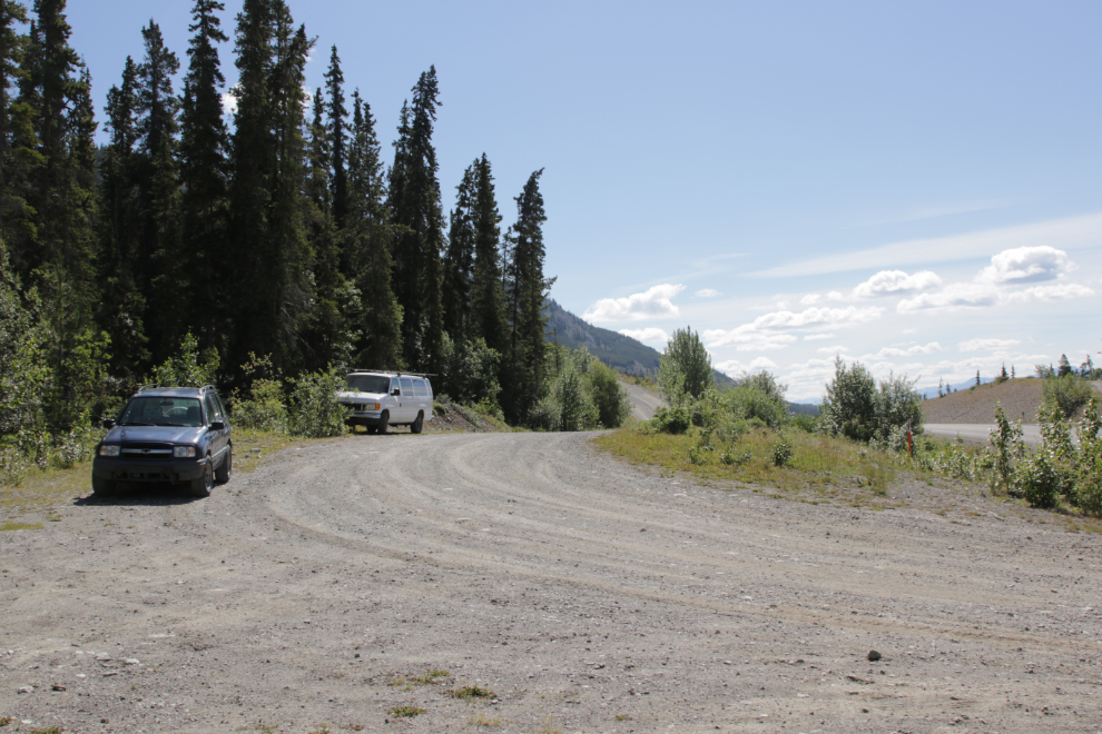
I’ll use time rather than distance to explain where I was at certain points, though your time may be quite different as I shot 94 photos and I’m 75 years old. I left the car at 12:22.
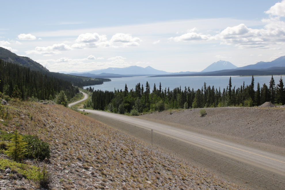
This view looking down the Atlin Road hints at what’s ahead.
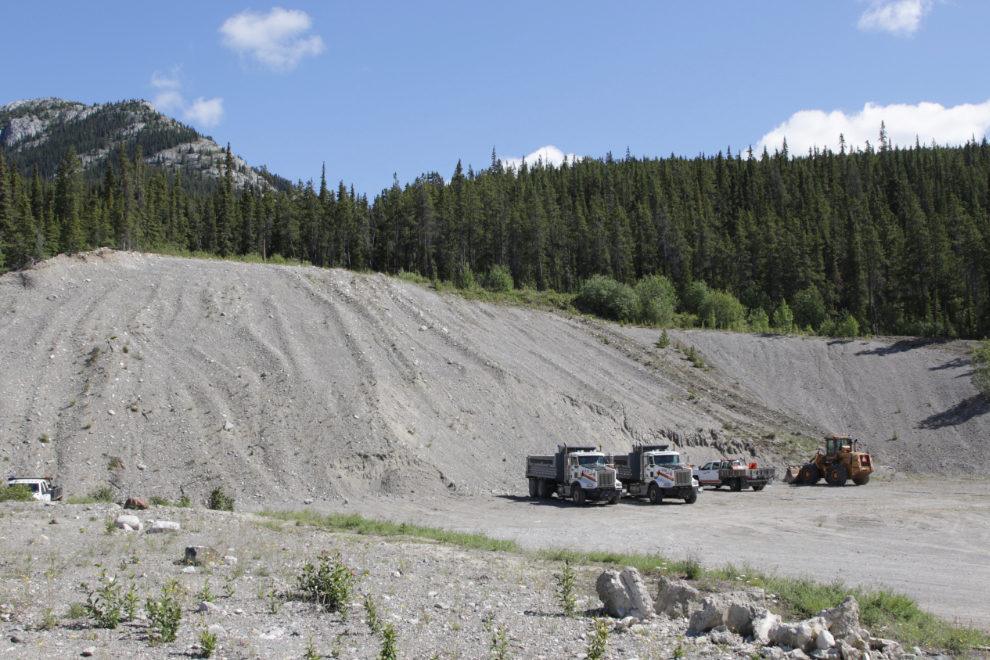
The gate was open, but only because a Highways crew was working there. If you find the gate open, don’t drive up.
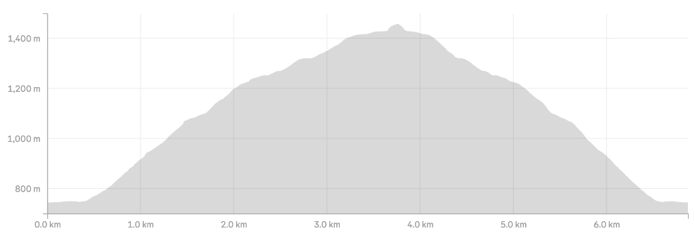
I’ll start the trail description by saying that it’s steep – very steep. Also the grade has been accurately described as “relentless,” as you can see from yesterday’s profile on my Strava page.
In the gravel pit, walk up to the generator house on the left, go around it, and you’ll find the trail down the slope – it’s at the bottom left of the next photo. There used to be a sign but it’s gone.
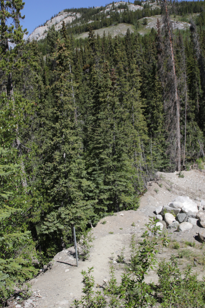
You’ll soon see an orange power cable, and the trail basically follows that all the way up to a communications tower at about 1340 meters elevation.
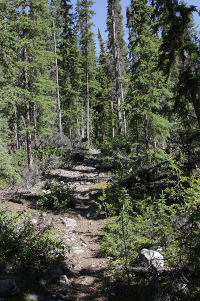
The power cable is up on poles where it crosses a tiny creek, and a few years ago a tree fell across it but strangely it has never been removed.
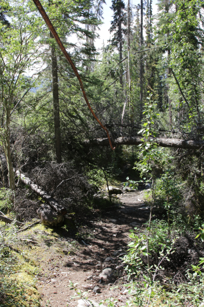
Eight minutes from the car, the climb begins.
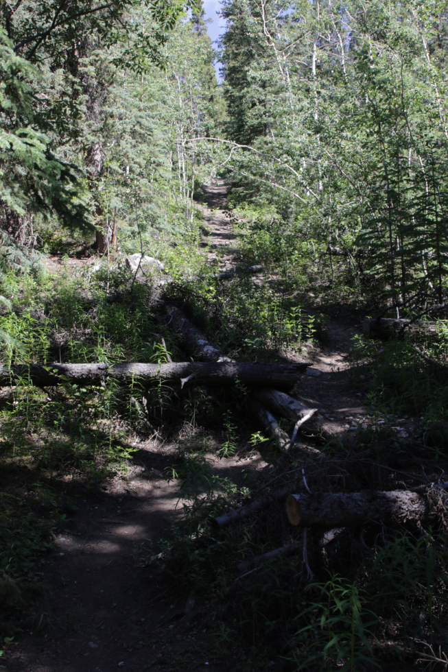
Climb = view (when there’s break in the trees).
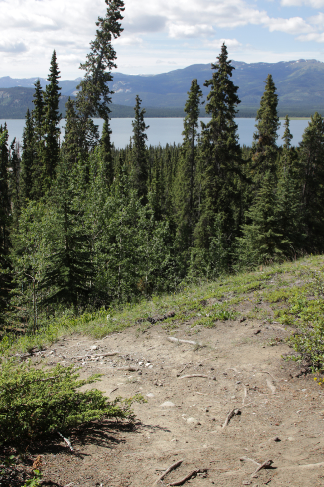
The climb got much steeper 22 minutes from the car. This is where “relentless” begins.
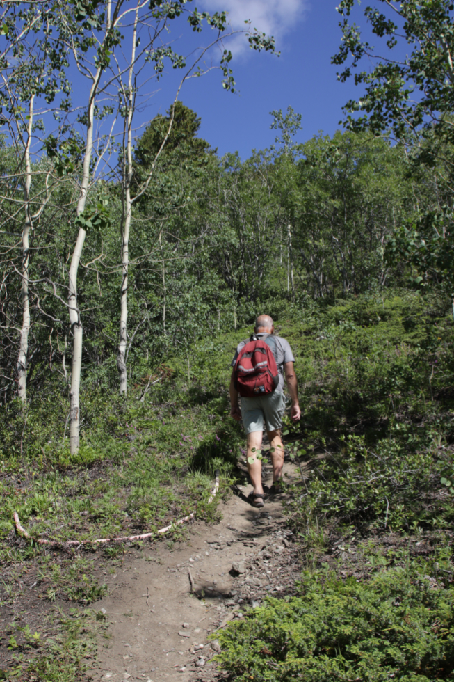
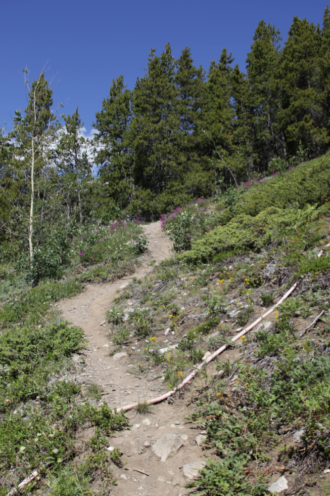
The zig-zags and switchbacks that reduce the grade a bit and improve traction are very much appreciated.
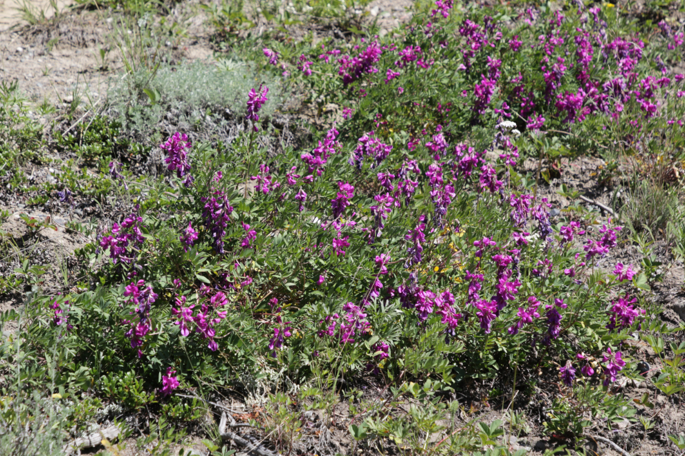
A patch of very healthy Northern sweetvetch (Hedysarum boreale) was a nice distraction. I wish other plants in my pollinator garden at home looked this happy.
Seeing the view getting better and better was the strongest incentive to do this. This was already the 17th photo I had shot 🙂
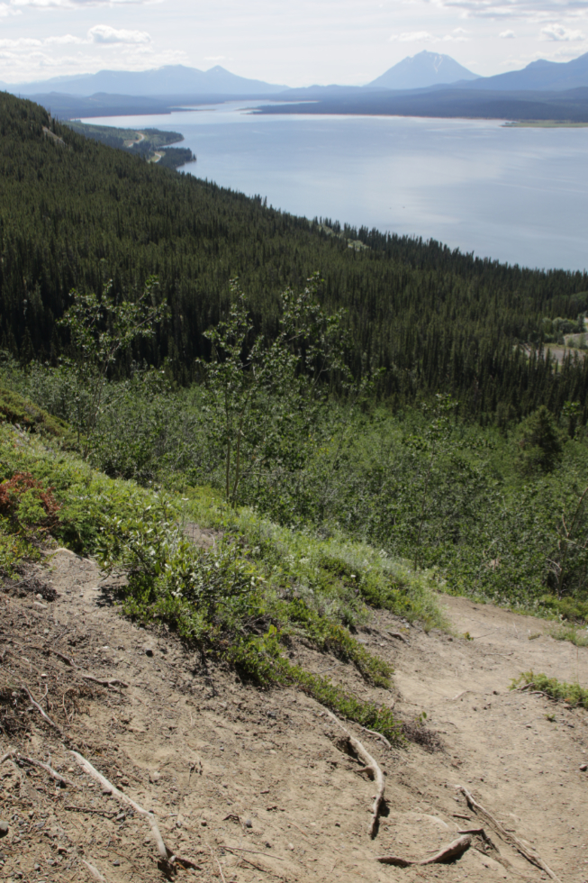
The first kilometer of the hike took me an hour but the vertical gain was already 211 meters. I took a 15-minute break in the forest, had a peanut-butter-and-honey sandwich (protein and sugar is my theory) and some water, and got going again. A couple of minutes later the terrain opened up, and the horseflies started to arrive. Ouch! I hadn’t felt that in years.
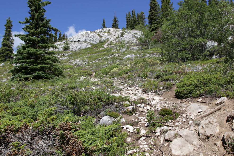
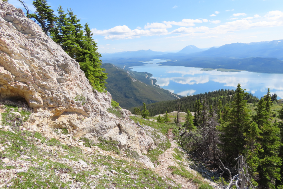
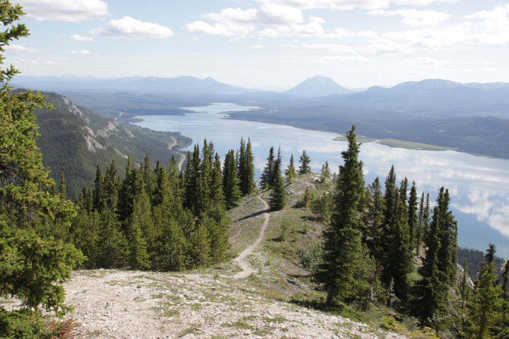
If you ever get jaded about how magnificent the Yukon is, find a way to get to a place like this. I was now an hour and 22 minutes from the car.
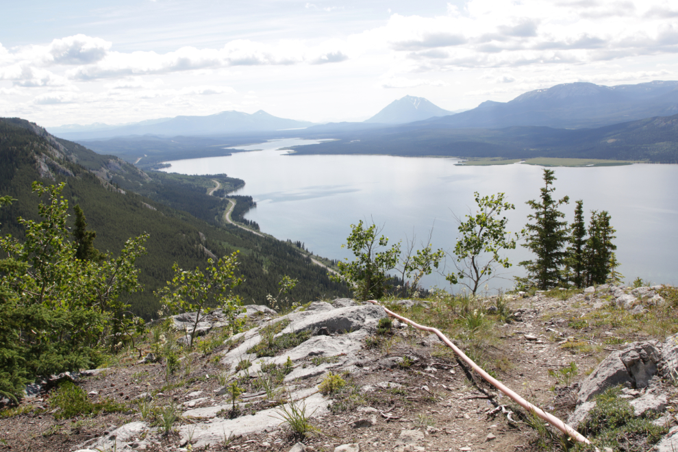
A small less-steep spot allowed me to pause, set up the tripod, and savour the view to the north.
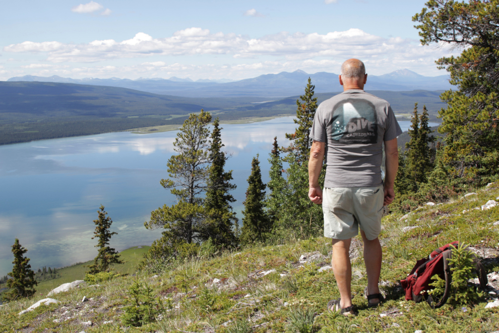
This particularly interesting limestone cliff makes a powerful foreground for a look north.
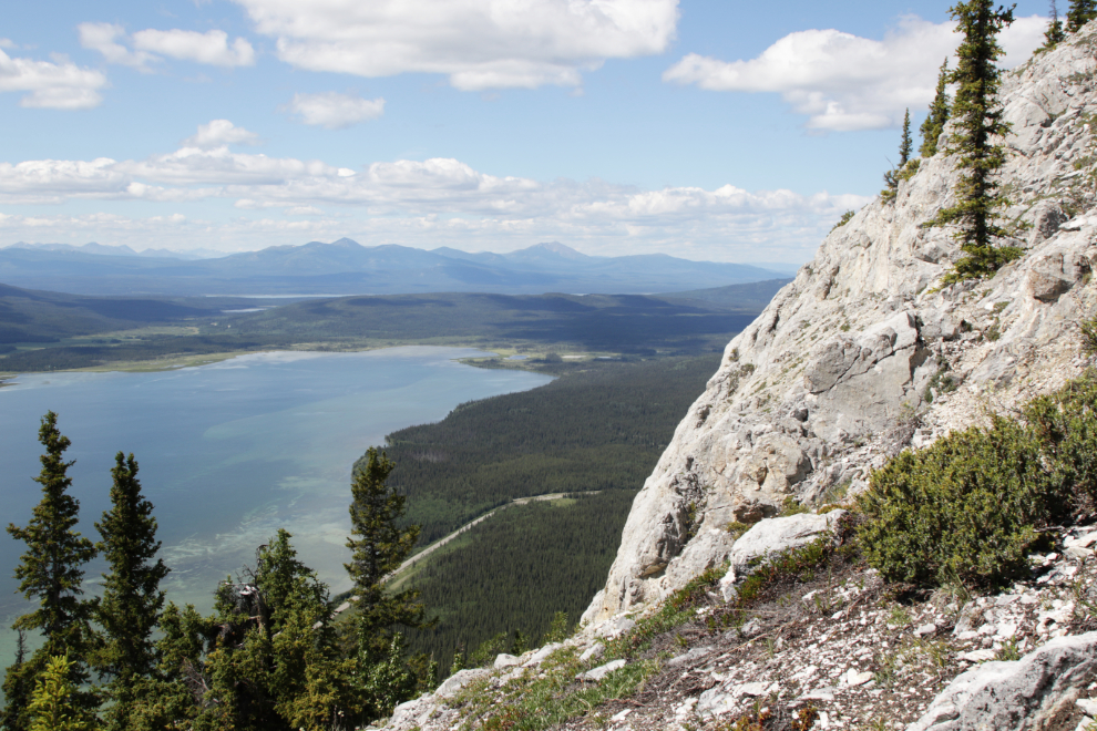
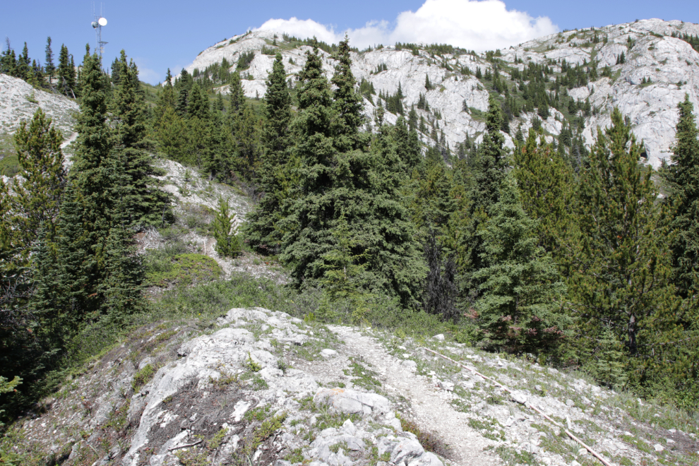
Two hours from the car, I got my first view of the communications tower.
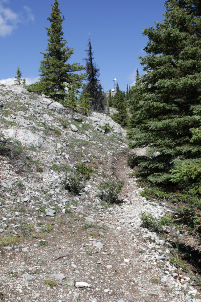
A look back down the trail once in a while is good inspiration 🙂
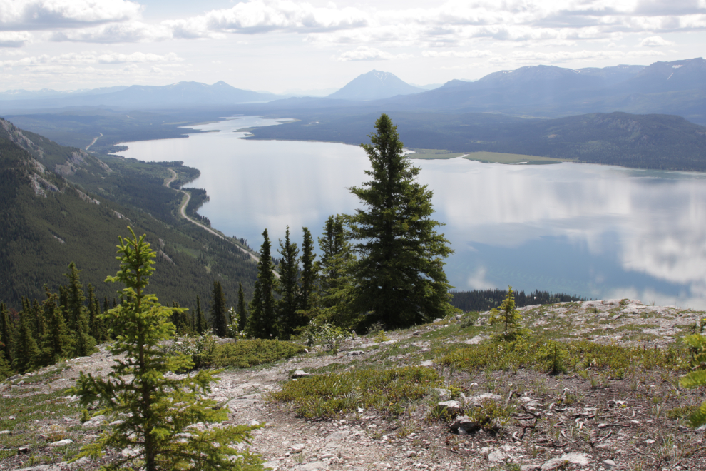
This is where I had to quit 2 years ago after taking a break at this large level spot. I was now 2 hours and 8 minutes from the car and had walked 2.16 km with 501 meters elevation gain. This level area marks the end of the “relentless” climb – from here the climb is much more varied in grade and there are even some short descents.

This marshy area on Little Atlin Lake has always intrigued me – I’ve taken a few photos of it from the road.
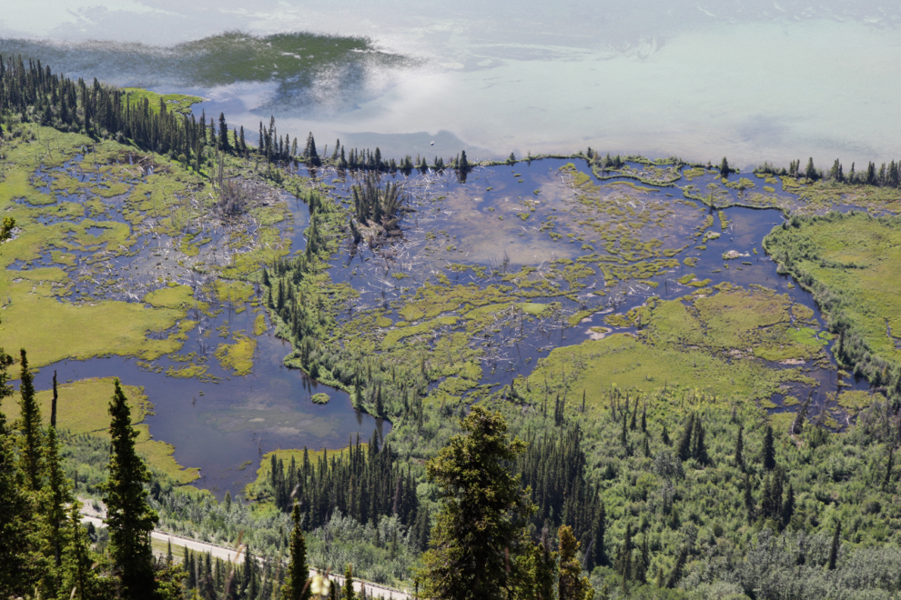
The comm tower was now the target but it seemed to take forever to get there – tantalizing in the Tantalus Bluff way 🙂
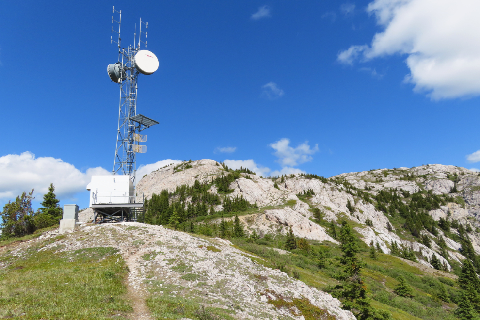
Made it. I’ve tried to find out what exactly this tower is for, with no luck.
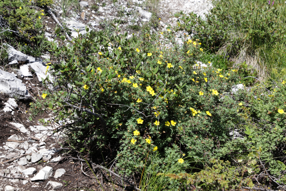
Flowers now became a major attraction and distraction. The Shrubby cinquefoil (Dasiphora fruticosa) is particularly happy here.
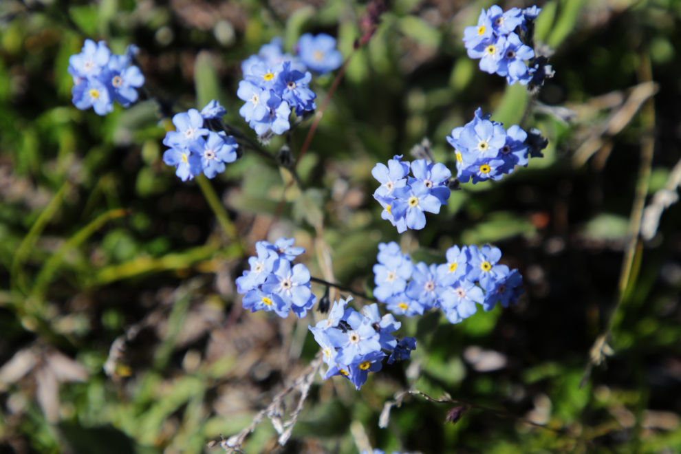
Though not abundant, there were some tiny Alpine Forget-Me-Nots (Myosotis alpestris).
I knew that the more-or-less level top of the Mount White ridge wasn’t far now – a kilometer perhaps, with no huge vertical.
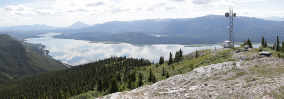
Looking back at the comm tower and its helicopter pad, with a panorama made by stitching 3 photos.
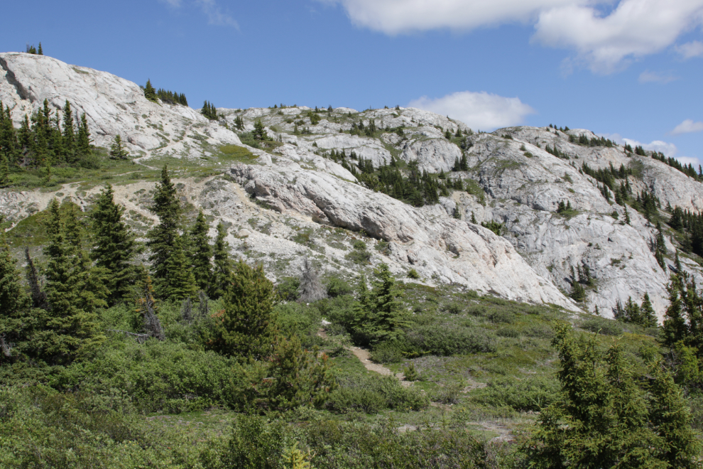
This area just below the summit was the best I saw on the entire mountain for flowers.
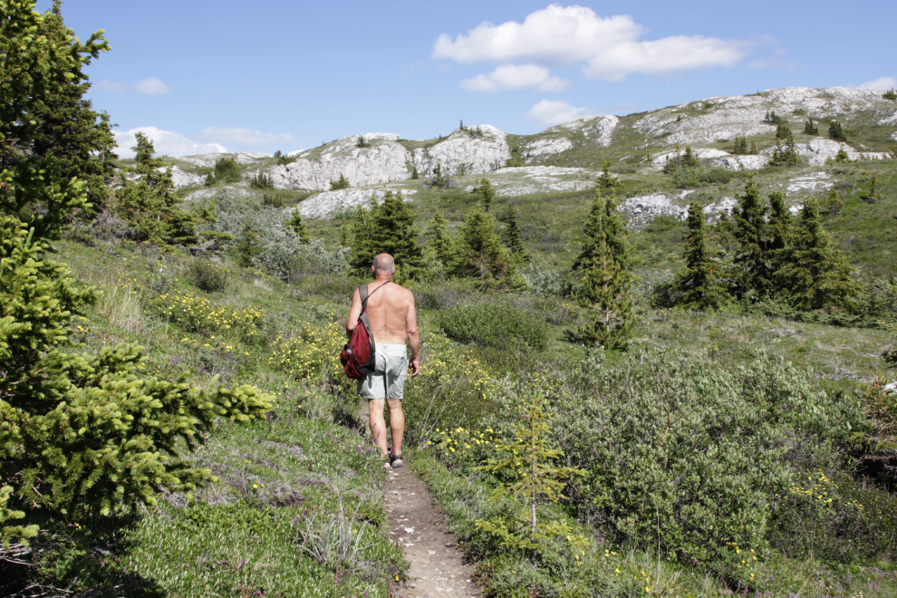
At this point I still had energy but felt that I was running out of time (it was 3:45), so phoned Cathy (once you get a couple of hundred meters above the start of the trail, there’s cell service all the way). I told her I was heading down. Then almost immediately decided that was ridiculous – I was almost there. One, maybe two more ridges to climb.
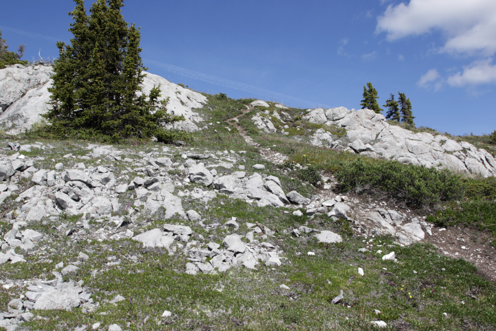
Looking back down at the “flower valley.”
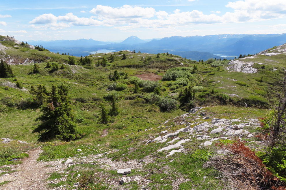
The cairn at the upper right marks a secondary summit at about 1455 meters, to the west of the main summit. It was as far as I went.
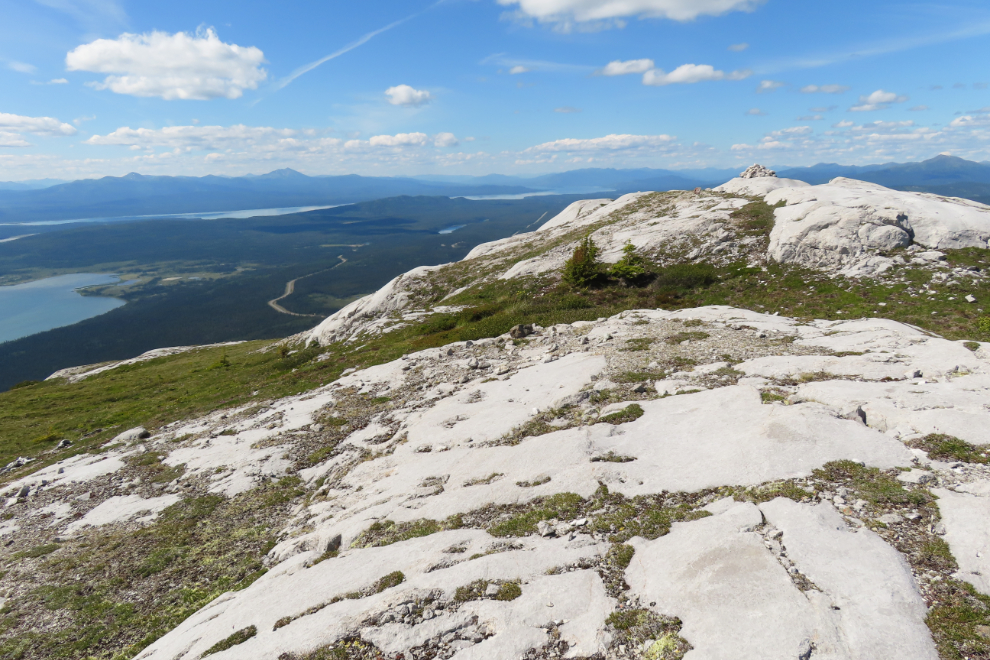
The actual summit on Mount White, at 1,468 meters, can be seen at the upper left of the next photo.
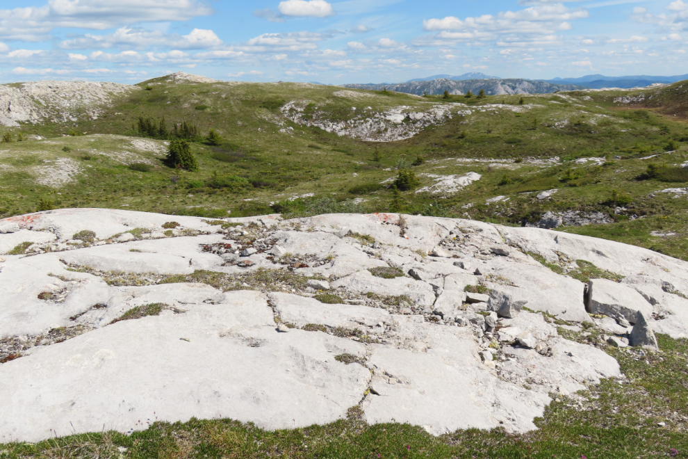
Looking south from the top. I should have taken a 360-degree video. Next time…
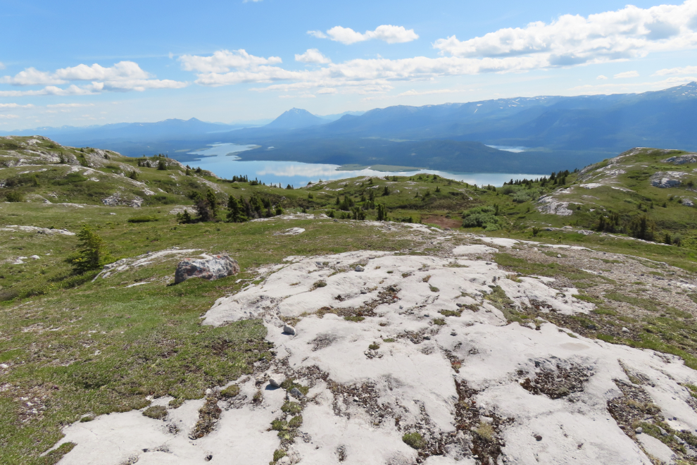
I only took two photos on the way down. Whenever things got sketchy on the way down, I tried to get off to the side of the trail. While I hate going off-trail like that, I’d hate even more to break something else on my body because of a fall.
Back at the car at 4:35, 4 hours and 13 minutes after leaving it, Strava recorded the hike as 9.68 km with 983 meters of elevation gain (3,225 feet). That’s my best elevation in several years, and it felt great, to the point that I may do it again this season.
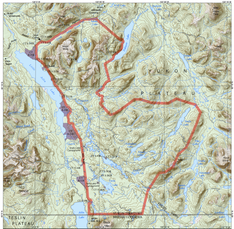
A final note: Mount White is at the northwest corner of an area that has been identified as Agay Mene Territorial Park, a Natural Environment Park, but it has not yet been officially designated. You can see a large pdf of this map here.

About The Author

YAY, Murray! Congrats on achieving a goal, and a big one, too. The clouds reflecting on the lake make for some gorgeous shots. One of the first pictures composes the highway to line up perfectly with the cable up the trail, as if one is the continuation of the other. Neat. I’m glad you took your jolly good time to descend the mountain. Falls are no fun, nor is the aftermath.