Hiking at the historic Venus Silver Mine, Yukon
After spending a couple of hours exploring the old concentrator for the Venus silver mine, I felt the need for something different, so drove half a mile and went for a steep hike above the 1970s Venus workings, towards some Dall sheep and mountain goats that could be seen from the highway. I didn’t really have any particular goal in mind, though – I might reach the sheep and/or goats, I might make it to the 1906 mine workings, or I might just get some good exercise.
The gated mine access road is located at Km 82.2 of the South Klondike Highway, 0.9 km south of the concentrator. There was another car parked at the road/trailhead, which rather surprised me – this trail doesn’t see much use, during the week at least. I parked my car a couple of minutes past 2:00 pm and headed up. It had been about 5 years since I’d been up. About 10 minutes up, I met the driver of the other car, a solo young woman, and we chatted very briefly about how far up she’d gone. At the upper end of her hike, she came around a rock to find herself 30 feet from a mountain goat!
Half an hour of walking brought me to some patches of snow. It must have been very deep to survive the warm weather we’ve had for a couple of weeks – the temperature was about 22° C (72° F) when I reached it.
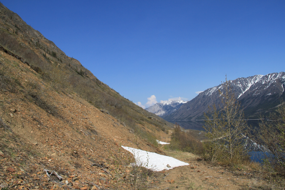
Just before reaching the snow, the road splits. Both the road to the left which I took and the one to the right go to mine workings. To access the 1906 mine workings, seen in this photo, the right turn is a better choice.
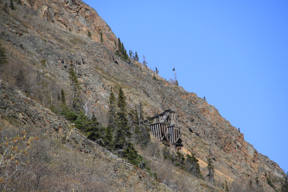
Brush has started to block the views from lower parts of the road in recent years, but a few minutes past the road junction, the views are wonderful.
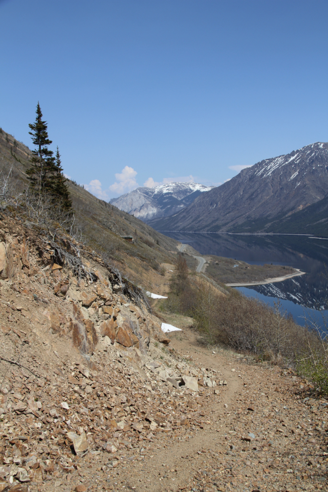
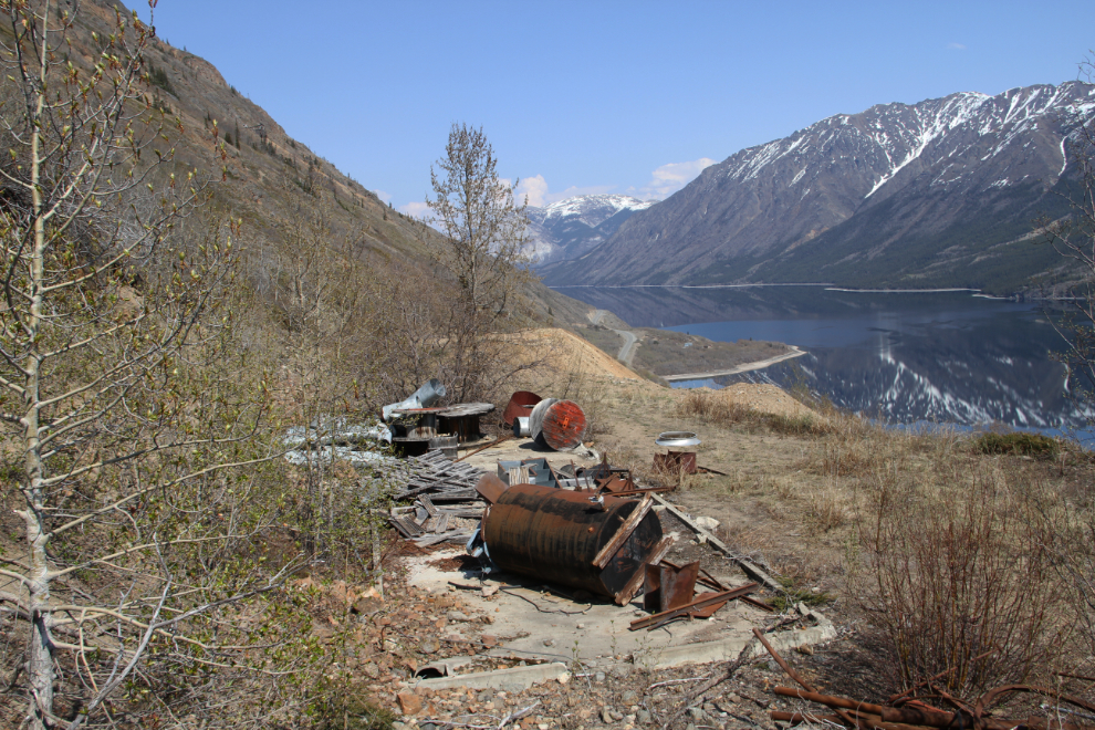
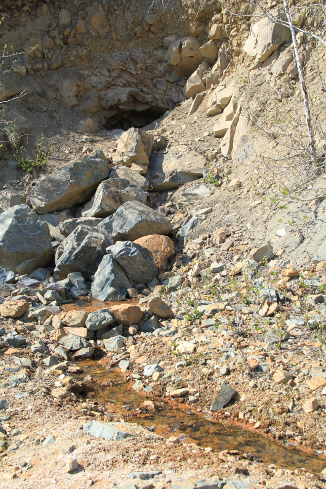
At 2:40 I reached a 1970s working area that was partially cleaned up in 2009-2010. There’s still a fair bit of garbage there – pipes, hoses, belts, machinery parts, etc – and the adit has been blasted shut. The drill core trays remain but have been picked over for good samples and the data plates that used to be on the boxes are all gone.
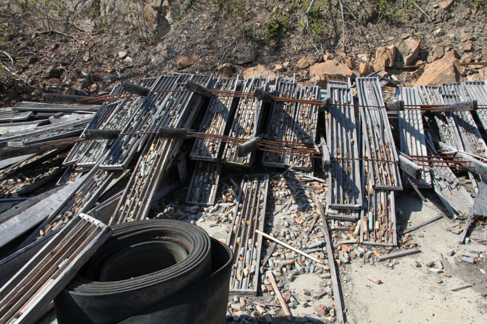
Another look at what’s left from the 1970s. The historian and environmentalist parts of my brain never have come to an understanding about sites such as this, with one side being very accepting of it and the other side thinking that it’s a disgraceful way to treat the world.
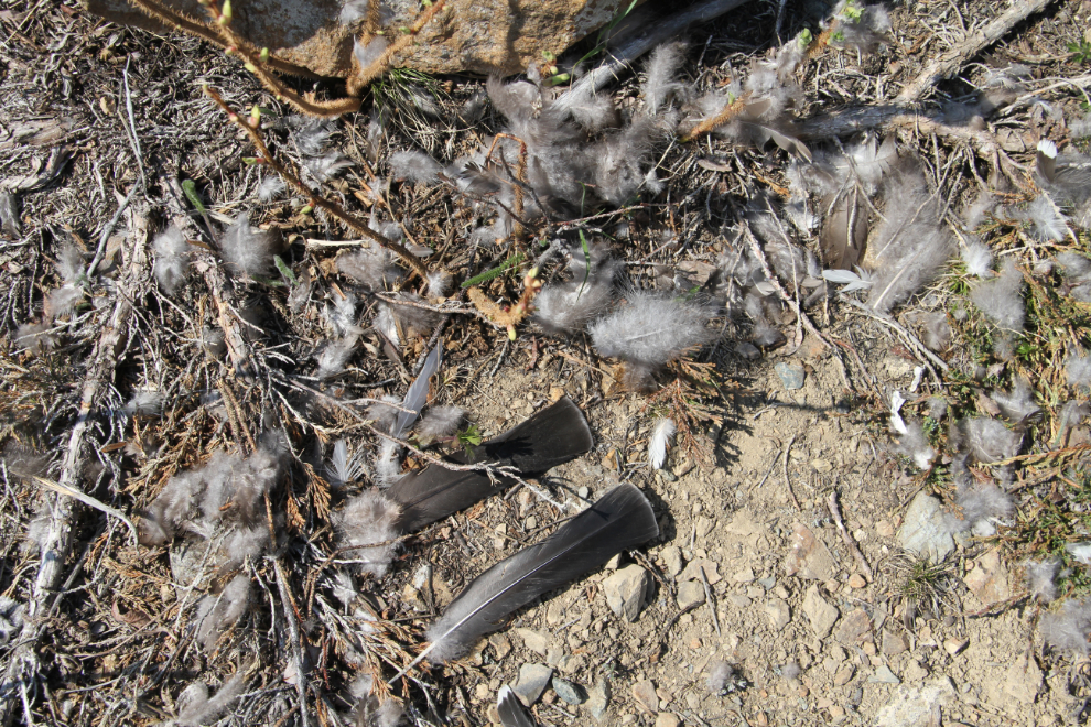
I reached the end of the road at 2:45 – a bird of some sort had become a meal here. An obvious hiking route leads steeply up the mountain from the road here, trending northward towards the 1906 adit
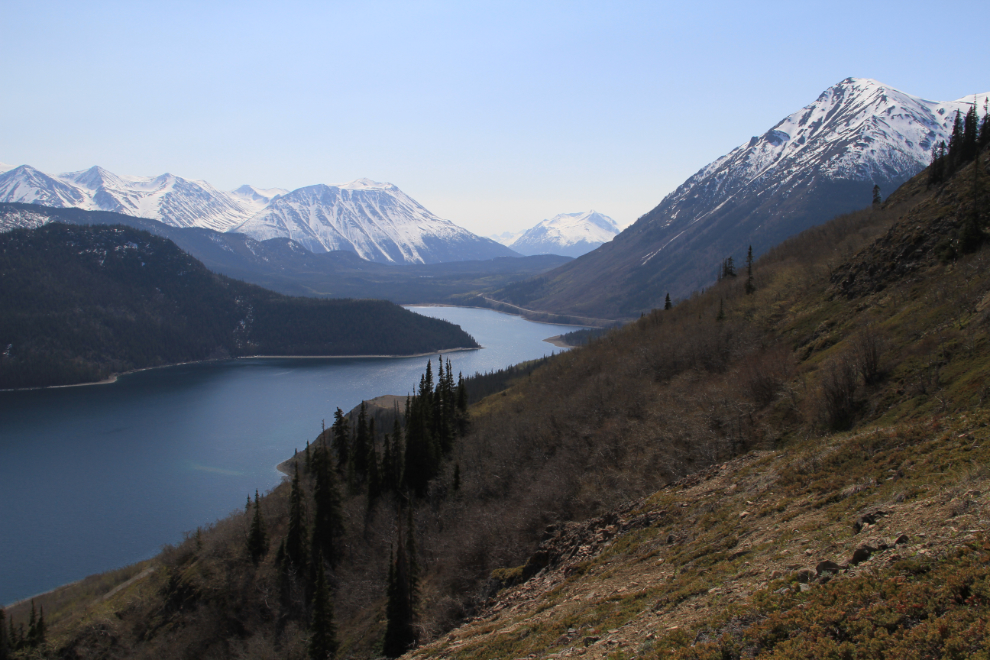
The view from the hiking trail to the south over Windy Arm.
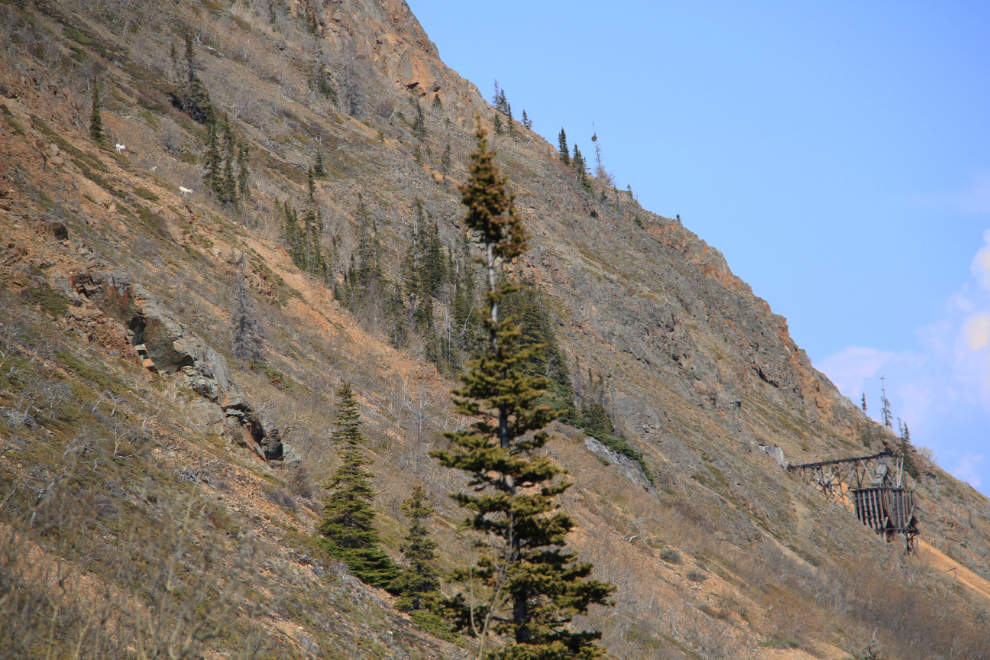
At 3:00 I decided to stop – the route from there became quite rough through avalanche willows in a rocky gorge, and I just wasn’t up to the fight. At the upper left of the photo are 3 of the Dall sheep I saw from the highway.
Yes, this was the view I wanted – a spectacular location to be able to reach in an hour of mostly easy walking.
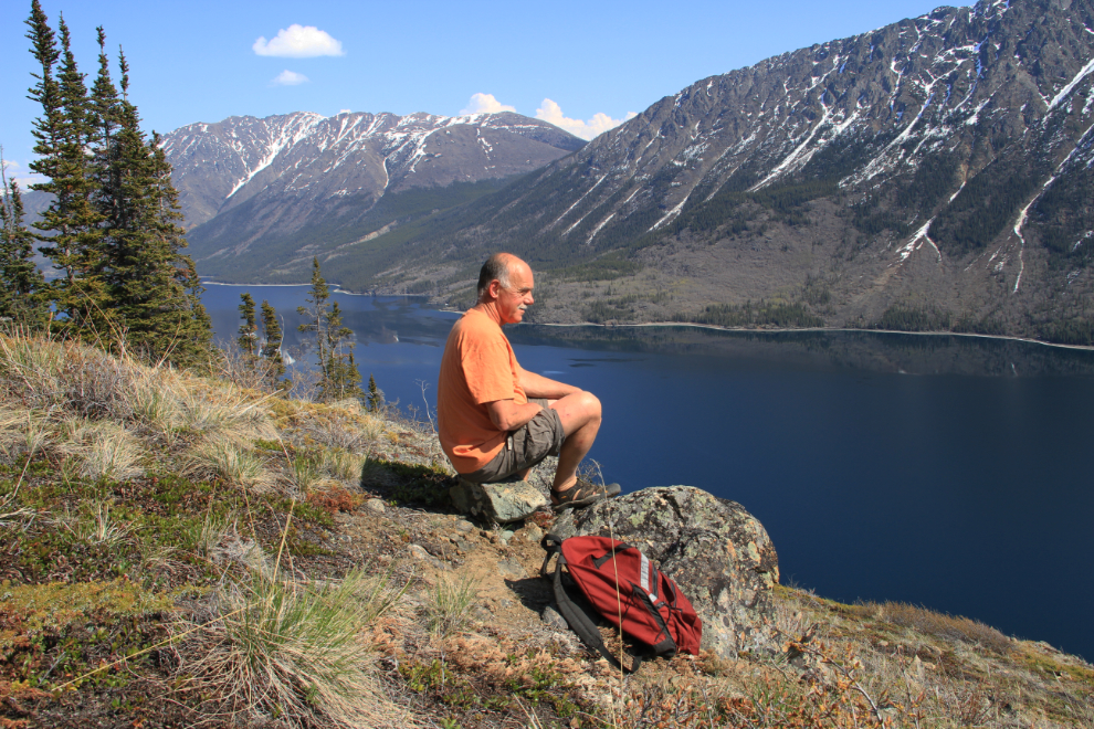
I only spent a few minutes resting and savouring the views, then started back down. This is the adit that I mentioned above had been blasted shut. Prior to 2009 it was possible to walk into it, though not far if I remember correctly.
At 4:00 I reached my car and headed home, very pleased with the results of the day, both mentally and photographically 🙂