Getting out: a drive to Tagish
I haven’t been getting out much, but last Wednesday (May 20th) I got a call from a fellow in Tagish, offering me a collection of aerial photos, maps, and other material that he had acquired. That was all the reason I needed for a drive. And Bella and Tucker were very happy when I asked if they wanted to go in the car :)(
Prairie crocuses have started to bloom on my property, and I took a few photos of them while I waited for the time we’d agreed upon.

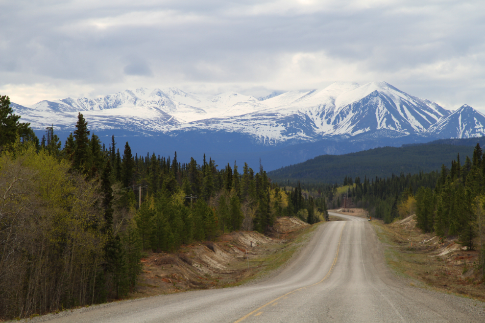
At 12:15 we were well down the South Klondike Highway, with Montana Mountain, which towers over Carcross, ahead.
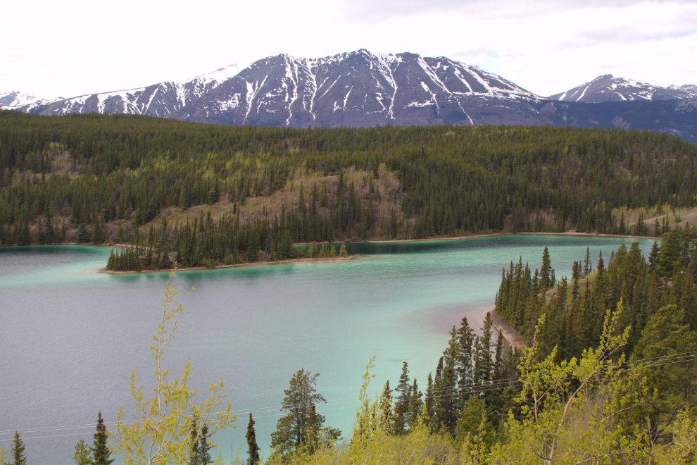
I made a quick stop at Emerald Lake. Calm mornings produce the best photos, but this was okay.
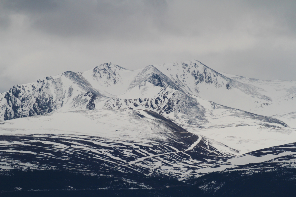
There had been fresh snow that morning on Montana Mountain, down to about 5,500 feet elevation.
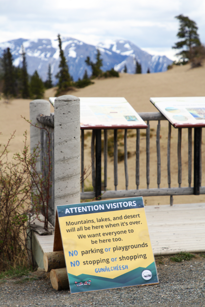
I drove past the Carcross Desert, then made a U-turn to see what this sign said. All the small Yukon communities have made it very clear that visitors are not welcome during this COVID-19 situation. We have, though, had no active cases in the Yukon for about a month now.
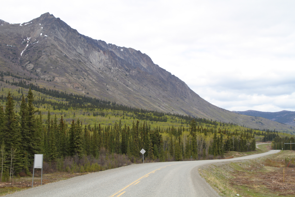
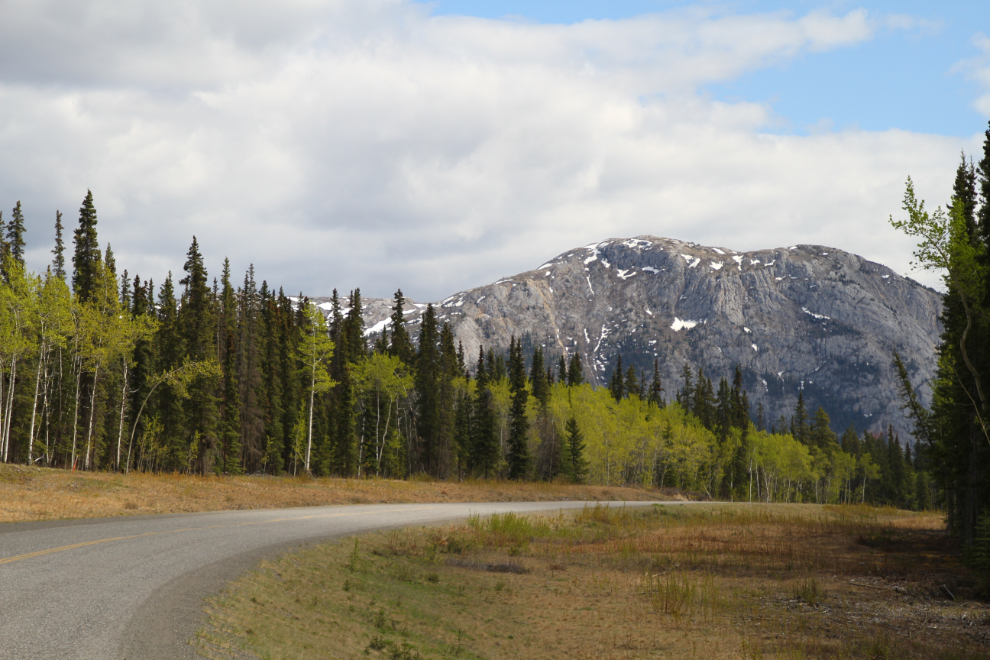
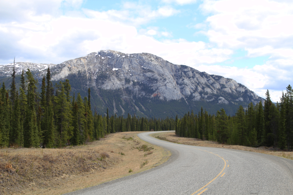
Heading east on the Tagish Road, with Caribou Mountain filling my view. Caribou Mountain was also the dominant element in the view from my cabin at Carcross.
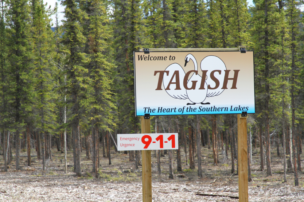
I don’t recall seeing this “Welcome to Tagish” sign before. I really like it – but I’d probably like pretty much anything with a swan on it 🙂
I had a very nice visit in Tagish, and left with 3 boxes full of photos, maps, and documents. By the time I left, I wasn’t feeling very good, and expected to have to take a nap somewere along the way home.
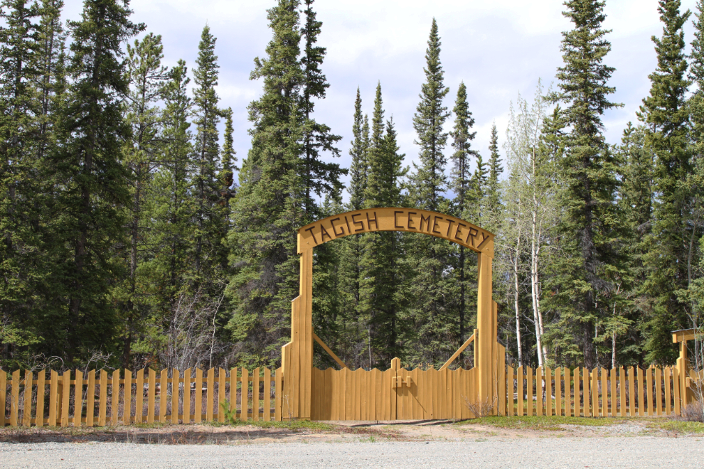
I made a short stop at the Tagish Cemetery, which I have barely started documenting. I took enough photos to serve as a prompt that I need to get down and do it properly when I’m able.
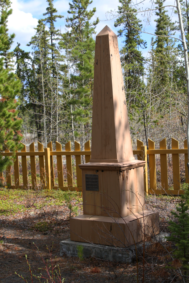
This grave marker is pretty cool. I don’t know what the significance of the shape is, but Edward Cooper died in 1992 at the age of 50: “He loved the Yukon. Resting in the land he loved.”
I decided to make the entire loop, so continued east on the Tagish Road. As I got near the intersection with the Alaska Highway at Jake’s Corner, the light got very nice, and I made 3 brief stops.
I made it home without having to stop for a nap, but there were no more photo stops. I was great to get out, and I’ve had a wonderful reaction to the first of the aerial photos I posted in my Yukon History and Abandoned Places group.