From cactus park to cactus park – Organ Pipe to Saguaro
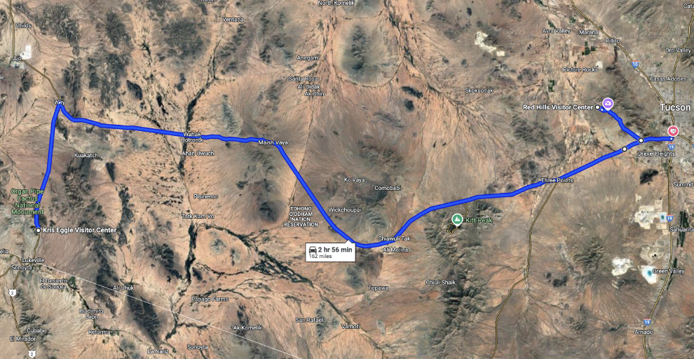
It’s now the afternoon of Thursday, November 21st. This is the 7th day of my trip and our 5th of 6 full days in Arizona. We drove from Organ Pipe Cactus National Monument to Saguaro National Park West where we did an exploratory drive, then to our motel in Tucson. See an interactive map of the basic route here.
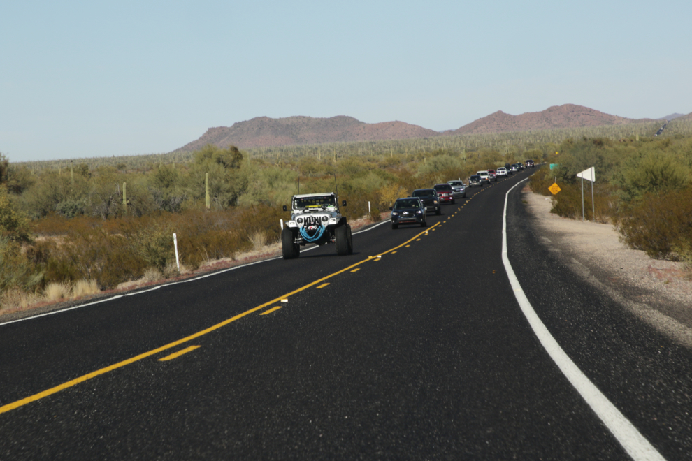
I shot the first photo at 1:45 as we were northbound on Arizona Highway 85. That Jeep was apparently built for off-road desert travel, not highway driving.
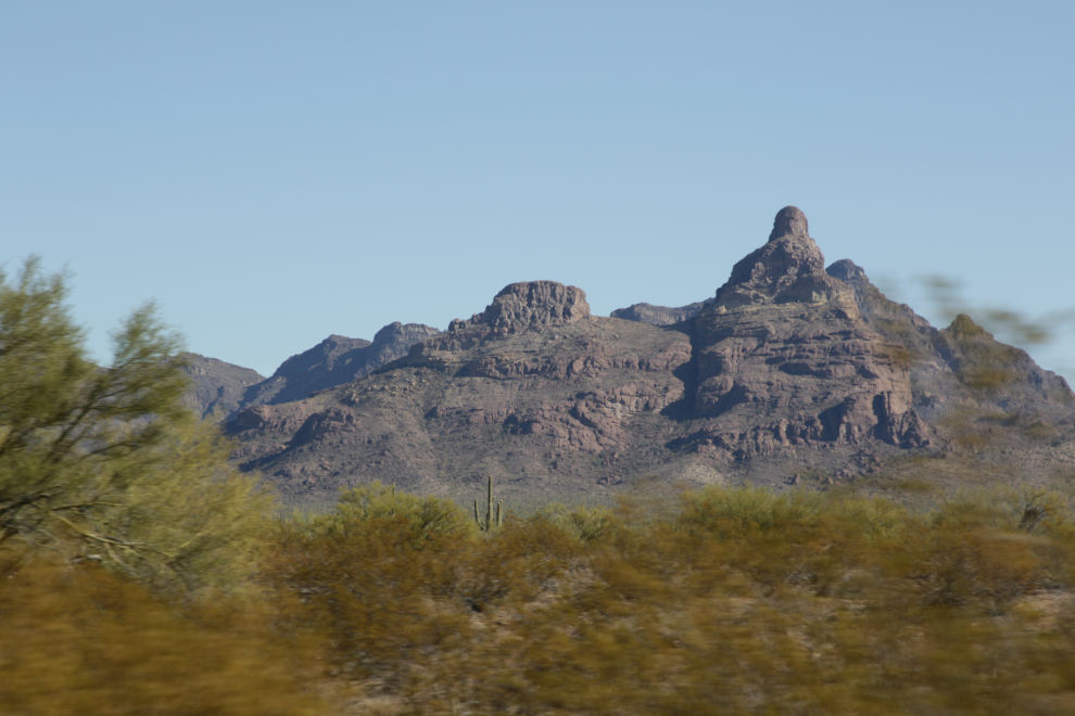
I hadn’t realized how volcanic southern Arizona was. I looked for an Arizona Geology 101 paper for a basic understanding, but got inundated with websites.
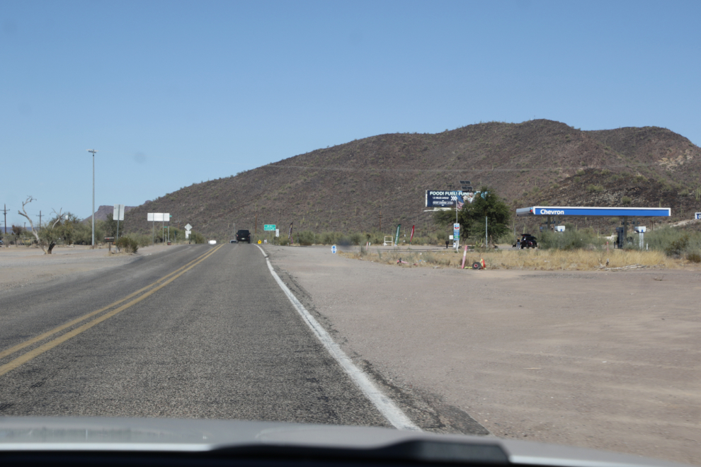
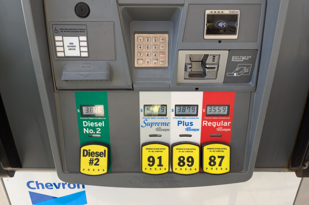
We stopped at the Chevron station at the small community of Why, at the junction of Highways 85 and 86. As well as gas, I added air to both rear tires (at a cost of $2.50) to get rid of the warning lights on the dash. BMW is very fussy about tire pressure – one tire was down 3 pounds, one was 1 pound low.
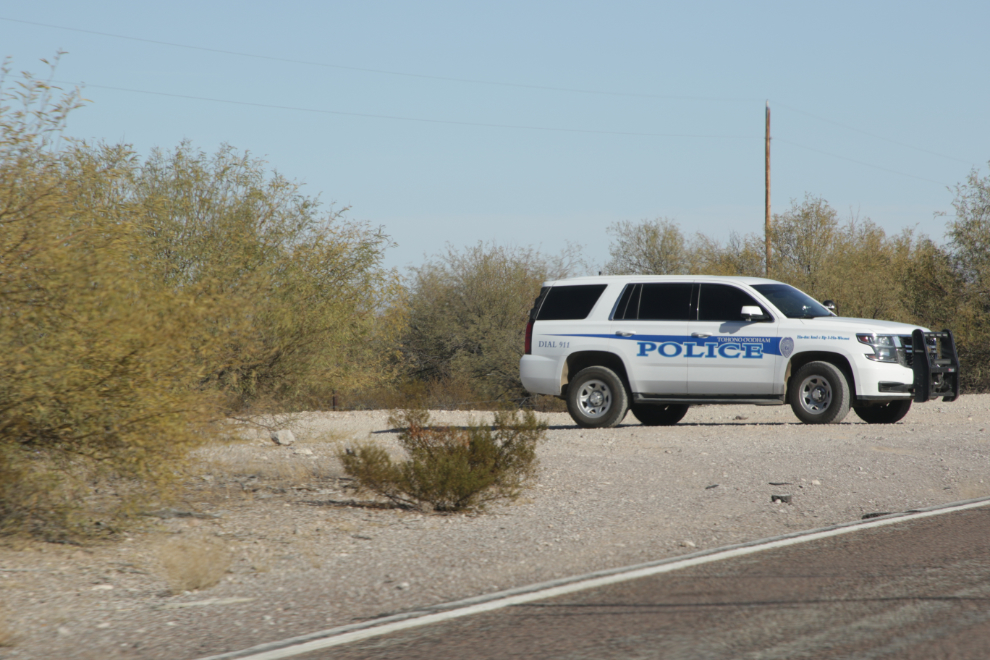
I don’t recall seeing a cop north of Phoenix, but from Yuma this way they were sitting by the side of the highways everywhere. It occurred to ne that it may not be speeders they’re looking for, though – a contract with the Border Patrol may pay all the expenses of a small-town police department. That’s just a guess, as we saw people going by some at well over the speed limit. This car was with the Tohono O’Odham Nation Police Department. The Tohono O’Odham Nation has 28,000 members, with a tribal land base of 2.8 million acres.
There are a lot of cinder cones, lava plugs and other volcanic creations along Highway 86.
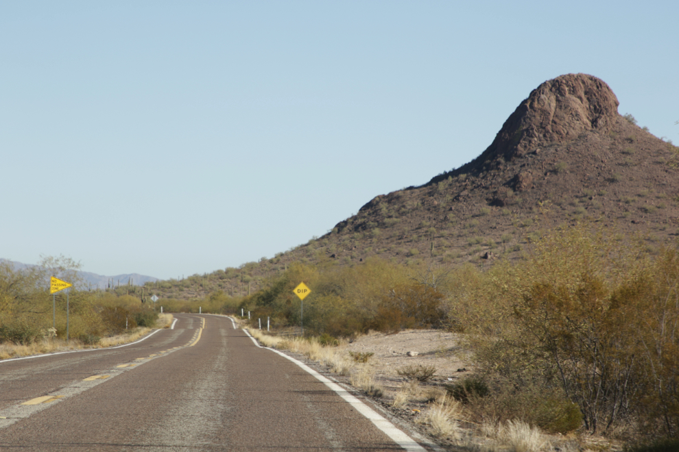
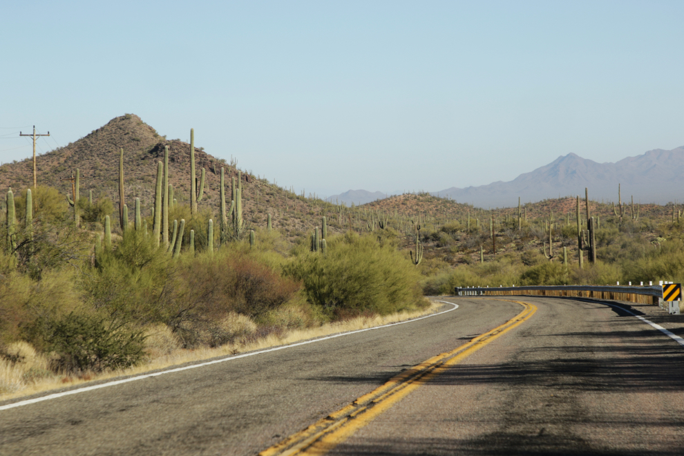
Although I chose the route of the entire trip for interesting topography, this section had more variety than I had expected.
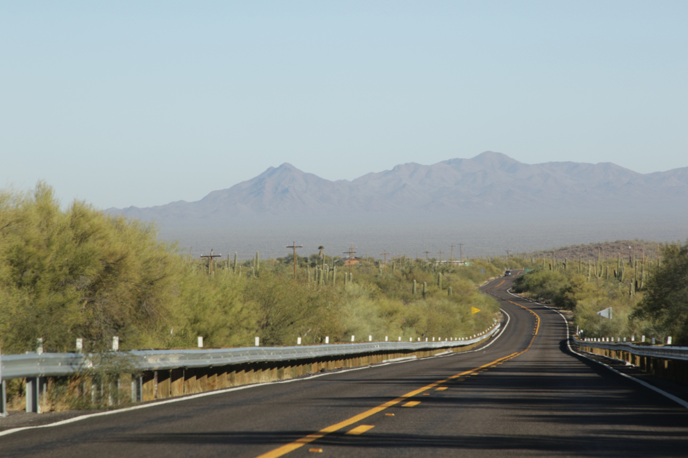
We could see what turned out to be the Kitt Peak National Observatory from many miles away, but when I made a U-turn to drive up to it, we discovered that the road closed for the night at 4 pm, which was only 25 minutes away.
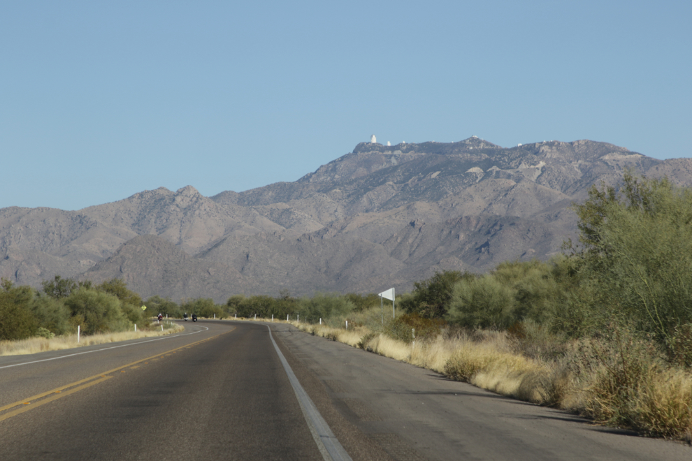
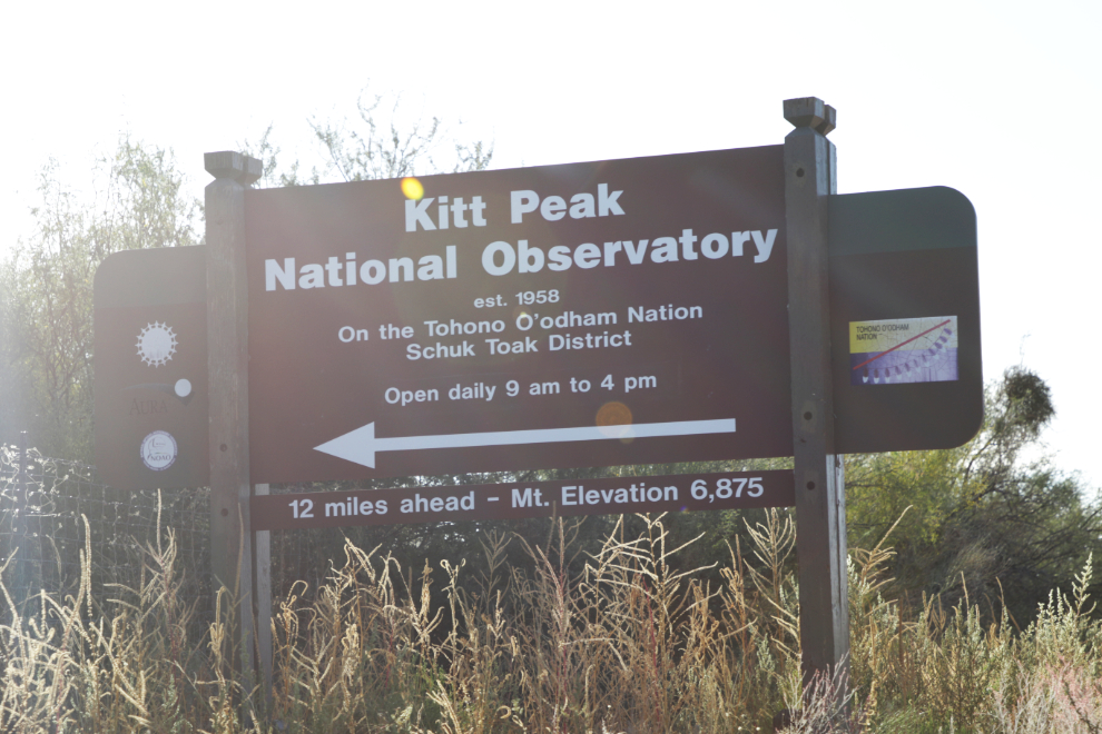
A couple of minutes east of the Kitt Peak access road.
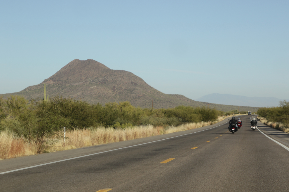
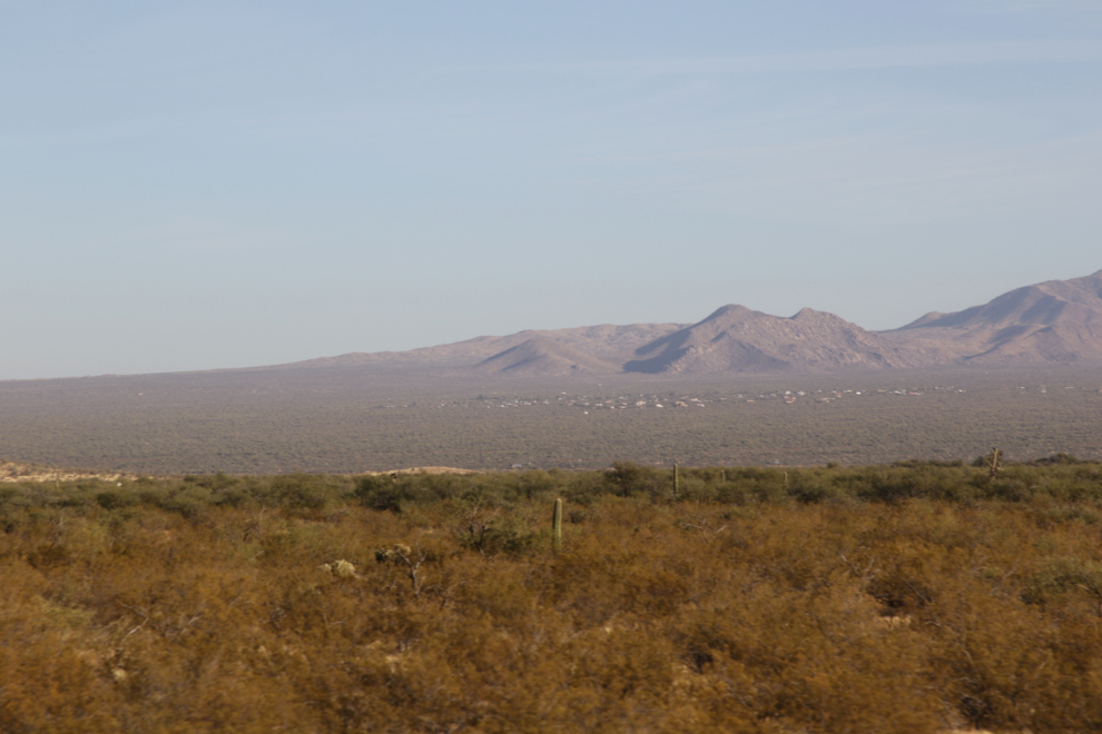
Nearing Tucson at 3:45, we could see what looked like a town off on the slopes to the south. This is a housing development called Three Points. While streets have been laid out over a vast area, relatively few homes have been built. I’m seeing ads for lots there starting in 1960, but only a handful in recent years. I’m curious why it died, because there are some lovely homes up there (seen on Google Streetview).
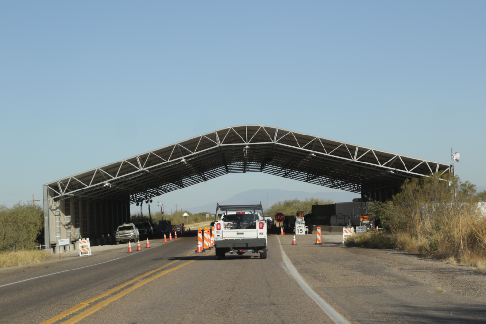
A couple of minutes later, we got stopped for a couple of seconds at a border patrol checkpoint.
With little daylight left, we wanted a quick look at Saguaro National Park for a longer look tomorrow.
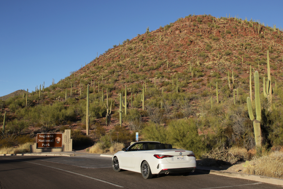
We went to the Red Hill Visitor Center and quickly found a great road to drive.
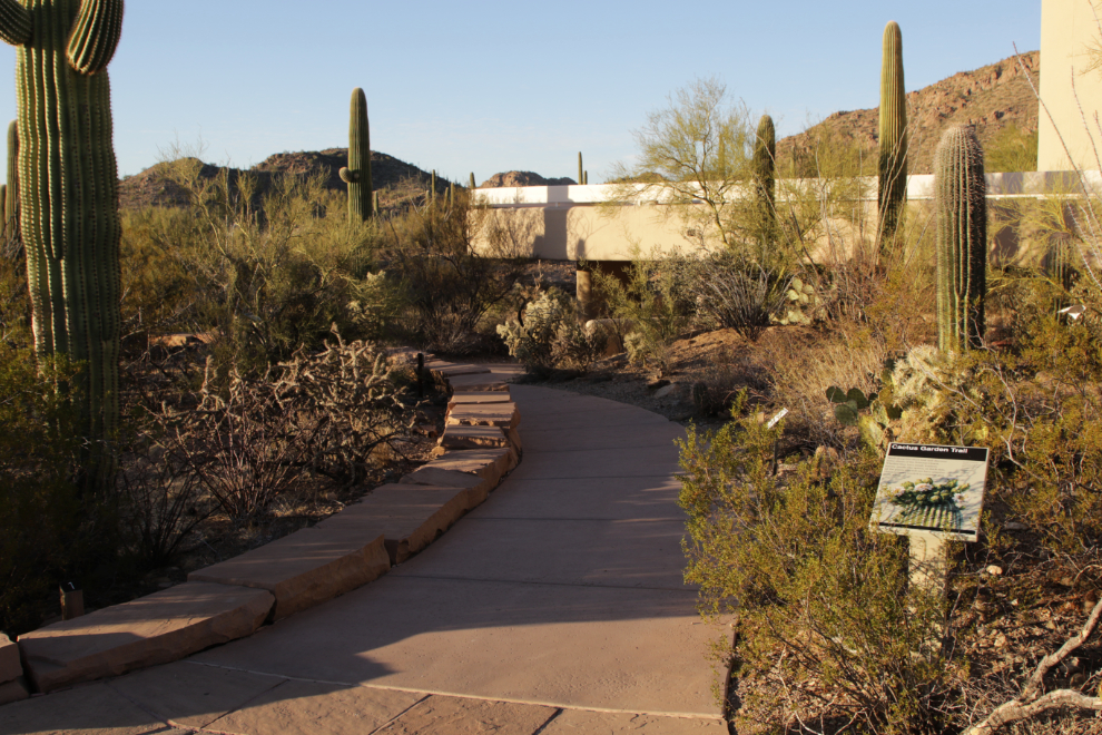
The first photo from Hohokam Road was shot at 4:41.
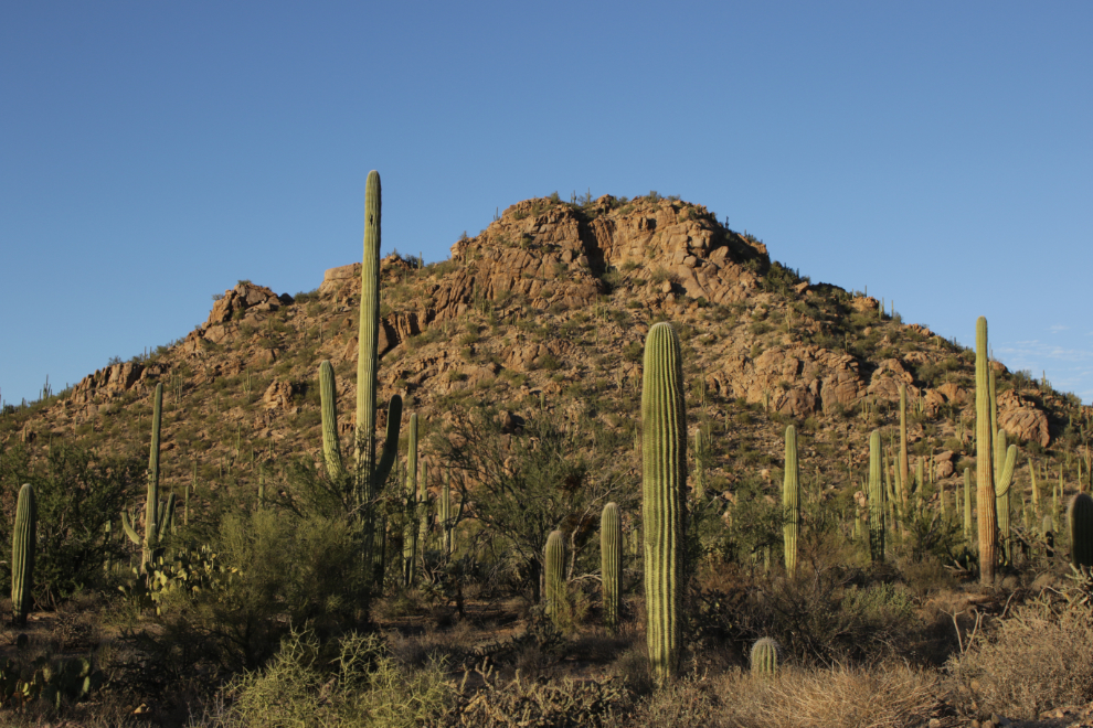
A couple of minutes later.
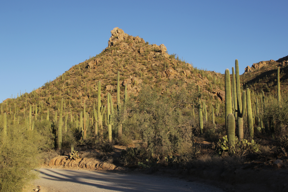
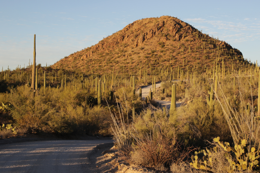
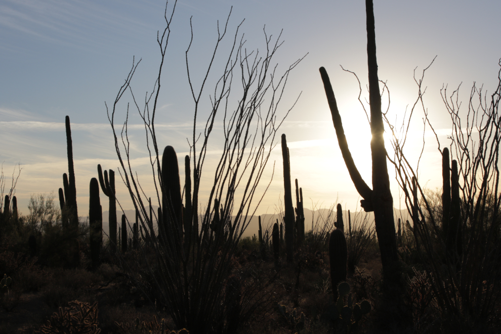
Wow – what an absolutely superb place to end the day!
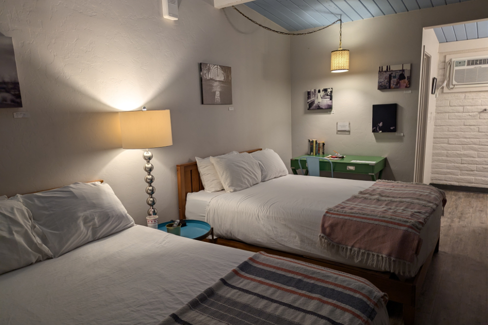
I had booked the Hotel McCoy in Tucson, and it turned out to be my favourite property of the trip. I took a lot of photos the next morning so will tell you more about it in tomorrow’s first post. This photo shows our room, #104.
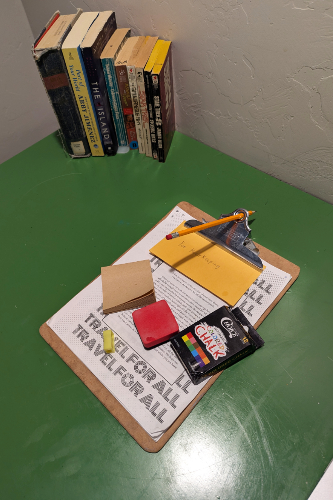
The room encouraged creativity, with books, a 9-page “manual” about the hotel, and a blackboard and coloured crayons.
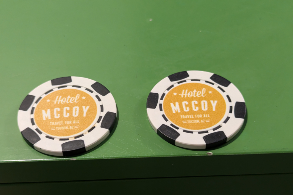
A couple of chips for free drinks were included, so we walked over to the cozy little bar beside the office.
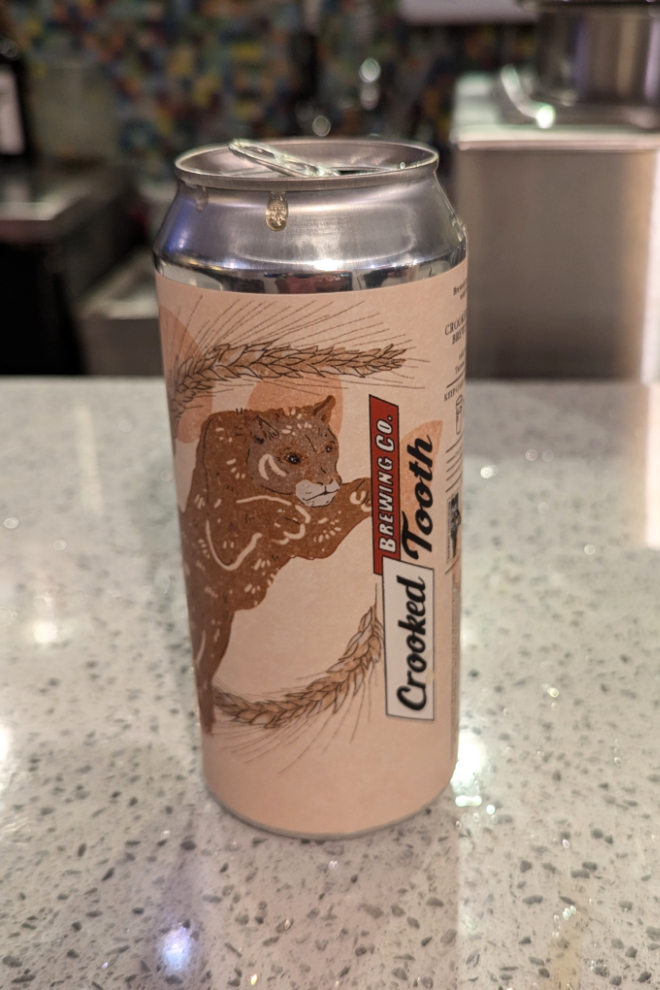
I had a Tucson craft beer called Barley Moon, a red ale. It was very nice, but we were both too tired for a second one.
Our final day in Arizona would involve visits to Saguaro National Park and the Pima Air &B Space Museum, then a 100-mile drive to our hotel near the Phoenix airport.
