Four days RVing in the White Pass: Part 3/3
Continuing on with the story, after dinner on Saturday, July 17th, we drove back to Summit Creek to do a little walk. A very little walk because that’s all Cathy can handle right now.
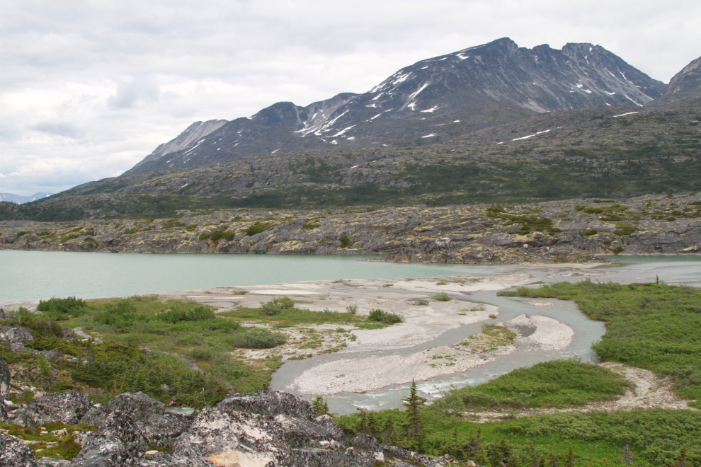
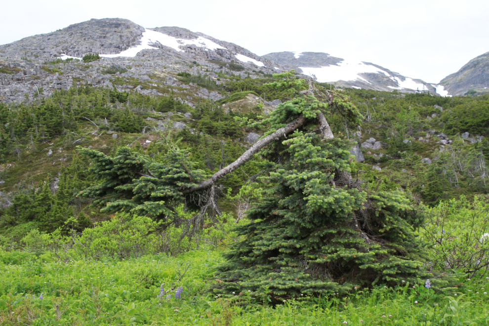
A couple of the small trees overlooking Summit Lake. Nearest is a subalpine fir (Abies lasiocarpa), which is the Yukon’s territorial tree, and behind it is (I think) a tamarack (Larix laricina).
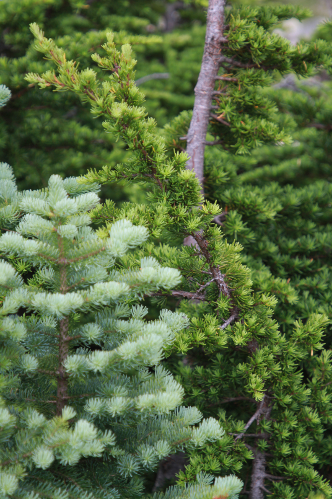
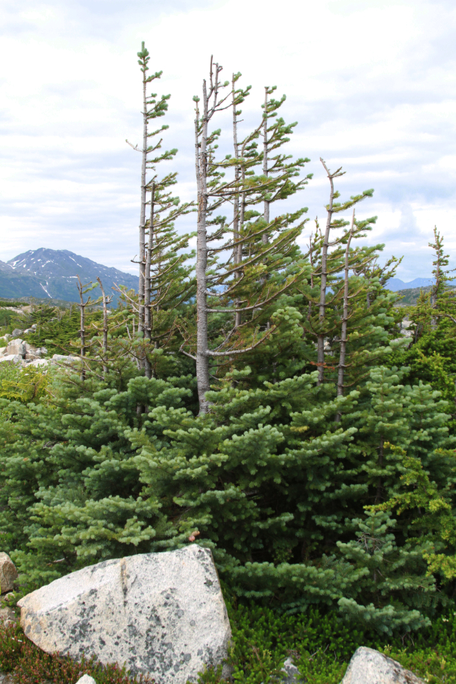
The trees make it clear which direction the prevailing winter wind comes from – the snow and ice crystals strip the side of the tree the wind hits, creating krumholtz (“crooked wood” in German). In most of the White Pass that wind is from the north, but at this spot it comes off Taiya Peak to the west.
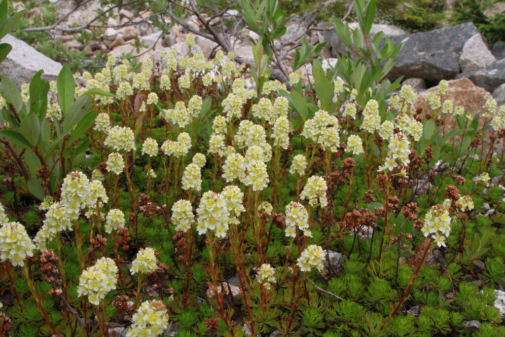
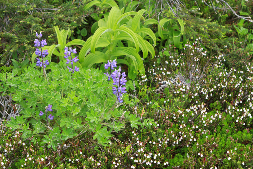
Here’s a very healthy patch of Partridgefoot (Luetkea pectinata).
On Sunday morning, I took Bella and Tucker for a bit of a hike on the International Falls trail. The first photo, shot at 11:10, shows how the trail starts, just below the parking lot.
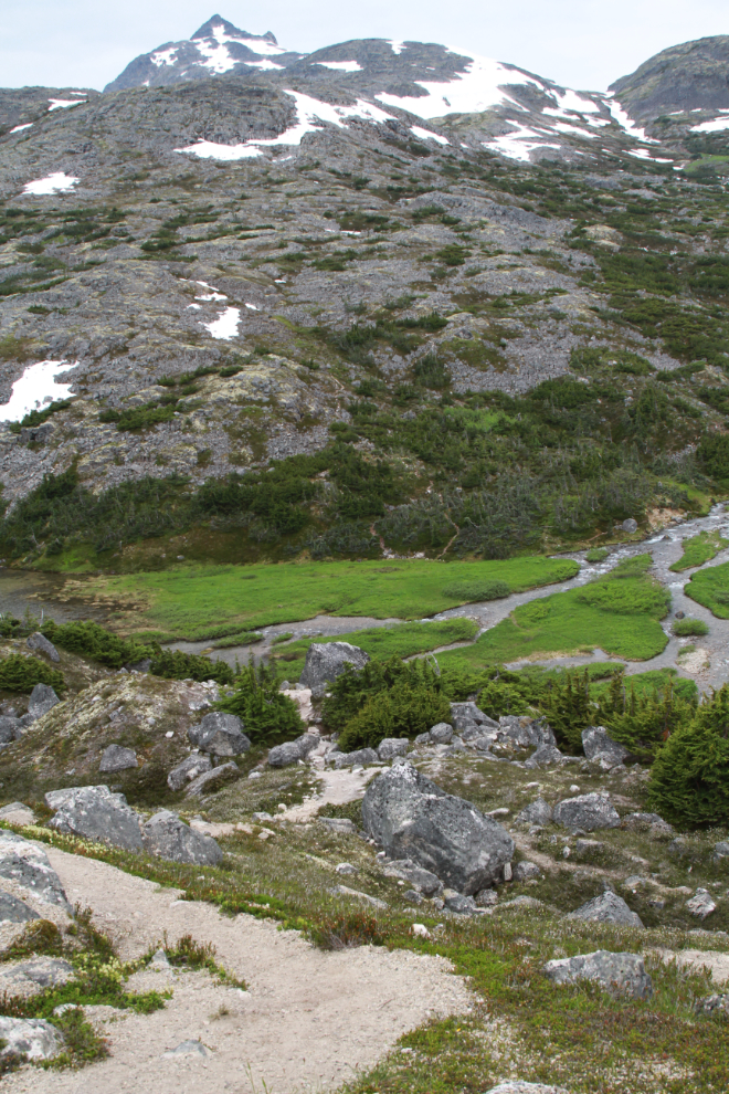
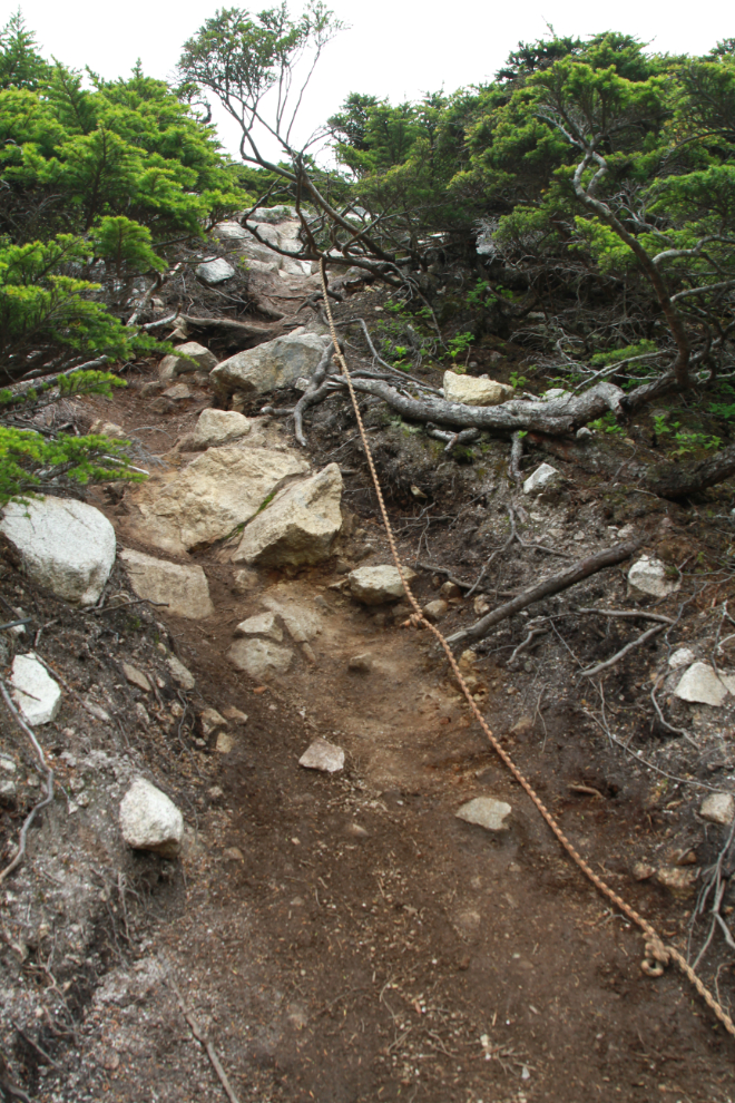
Along the very steep bottom part of the drop into the valley, ropes were strung a few years ago by a Skagway tour operator – they make navigating the trail much easier. Bella and Tucker did fine without ropes 🙂
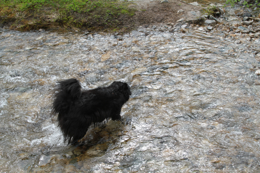
A creek crossing at the bottom was the deepest I’ve ever seen it. For people like me who prefer a gravel bottom rather than big rocks, the water was just above my knee – on the big rocks, 4-5 inches less. Bella swam across but I carried Tucker.
These cliffs to the south always fascinate me.
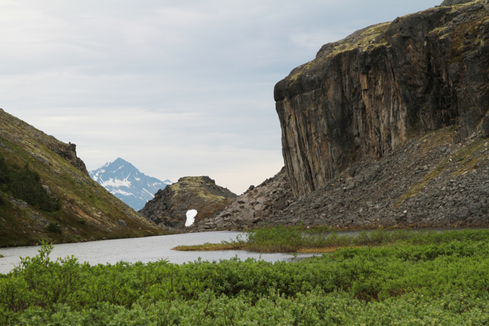
The valley is incredibly lush. I expect if not for the number of hikers on the trail, the dark brown grizzly we saw the previous day on a terrace just 50 feet below the RV would have stayed here for a while. Our encounter was too brief to get a photo but he sure got the dogs on high alert.
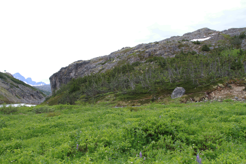
I don’t recall seeing another trail on the opposite side of the creek – I have no idea where it runs from or to.
Now there’s a tough tree! Snow broke the top off, probably decades ago, but it’s still doing very well.
This 90-second video of the bottom waterfall on the trail was shot from 3 different locations, starting at the highway.
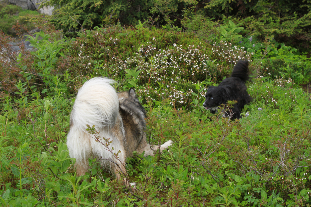
Starting back is always the trigger for a big play for these two. They can always make me smile 🙂
As on the way down, I let Tucker deal with the two creek channel crossings that weren’t very deep, and carried him across the long deep one. Rarely does he argue with my ideas about what he can handle, and he’s very good about asking for help when that’s the case.
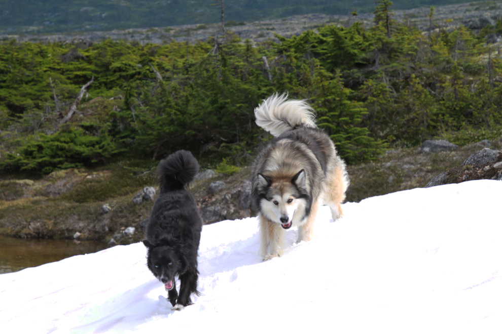
On Sunday afternoon we drove the Jeep back down the highway a bit to a large patch of snow Cathy could get to, to watch the kids play.
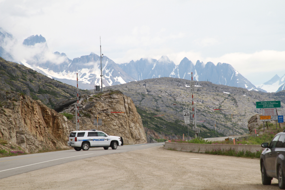
Skagway police patrol the White Pass to ensure that no sneaky Canucks are crossing for a peek. We didn’t see RCMP patrols this time but have on previous outings. Some day soon this will be back to being part of “the longest undefended border in the world.” We sure miss you, Skagway. This photo was shot from a window of our RV. It’s an interesting place to people-watch, seeing people respect a closed but mostly unguarded border. Well, most people – we did see one rental car from Skagway slow down then keep going.
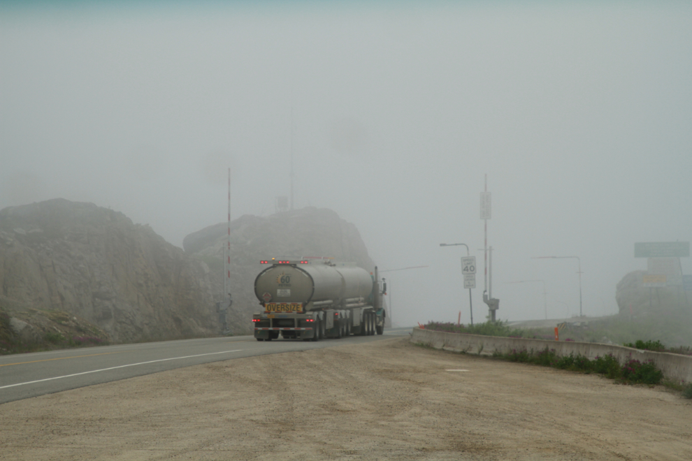
Monday morning, we were in the clouds and it was cold – 9°C (48°F). The next photo of an empty fuel tanker headed to Skagway for a load was shot at 07:40.
This 1-minute video will give you a better idea what the morning looked and felt like. Brrrr…
Just after 09:00, we took a drive to the north to see if we could figure out what the weather was doing and was going to be doing. It was clearly nicer up Whitehorse way and there was zero indication that it might clear in the pass. It was time to head home.
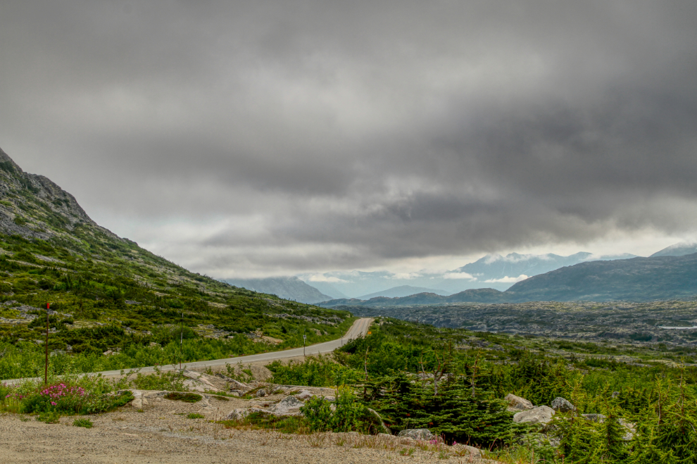
A warning about the “Outhouse Hill” parking lot. Sledders and skiers often build campfires around the edges here over the winter, and often use old pallets to fuel them. Most of the nails get cleaned up, but some don’t – I picked up 3 this morning, each of which could have caused a flat tire.
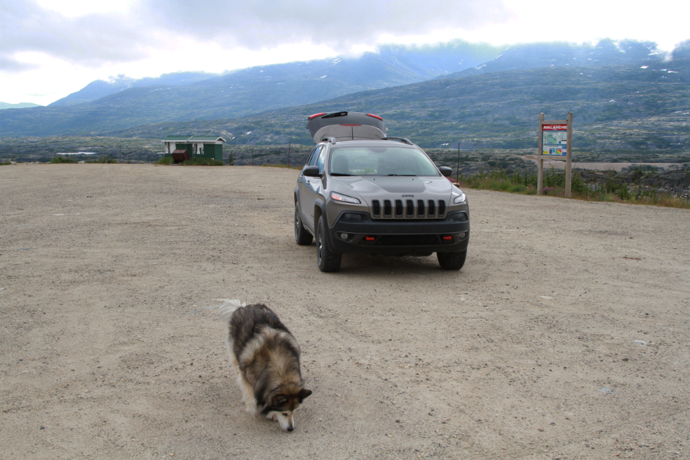
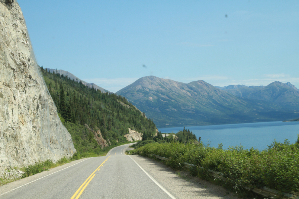
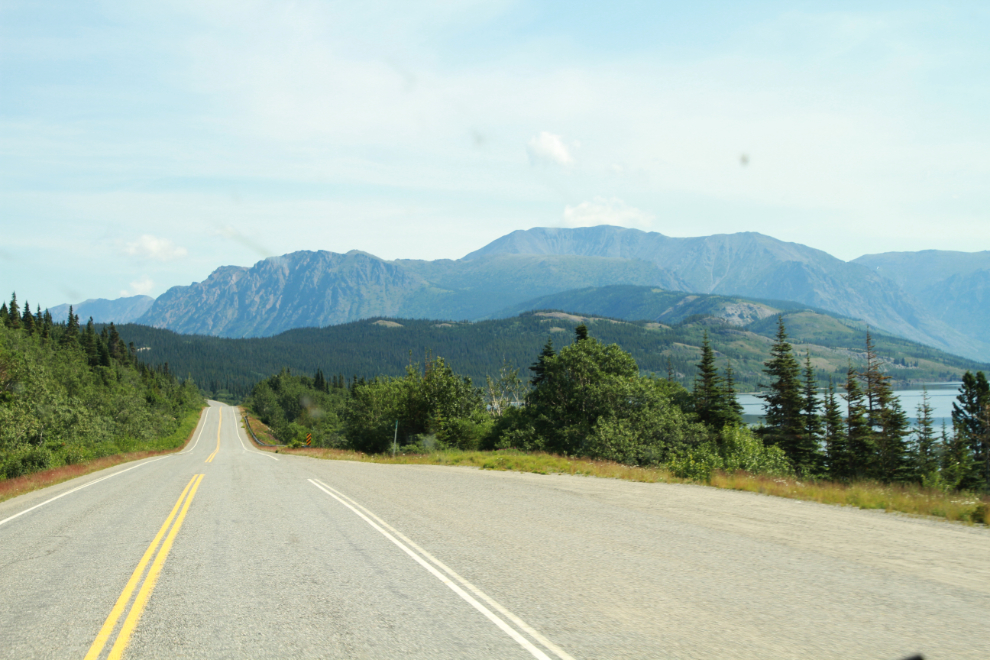
We started for home just after 10:30. The Customs crossing at Fraser only took a few seconds, with “Did you cross the physical border?” being the important question. An incorrect answer to that question would lengthen the time needed to cross. At 11:07 we were inn the warm sunshine along Tutshi Lake.
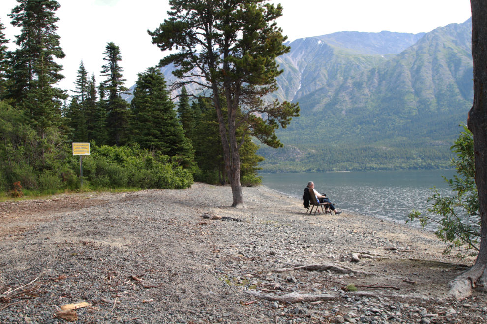
I stopped at our usual dog-play-beach on Tutshi Lake, which was in the sun when we arrived. It was great to see the water level 3-4 feet lower than it had been on July 2nd. When the clouds moved in from the south, we continued towards home.
Just a couple of miles further north, at 12:07, we were back in the sunshine.
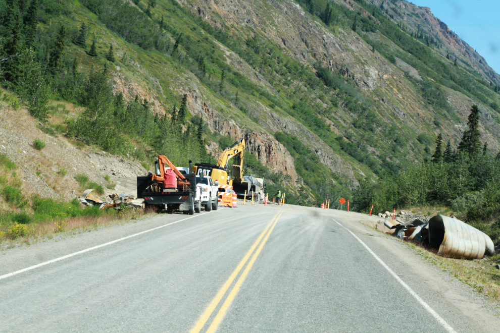
The work of replacing the Dail Creek culverts that were washed out many weeks ago was continuing.
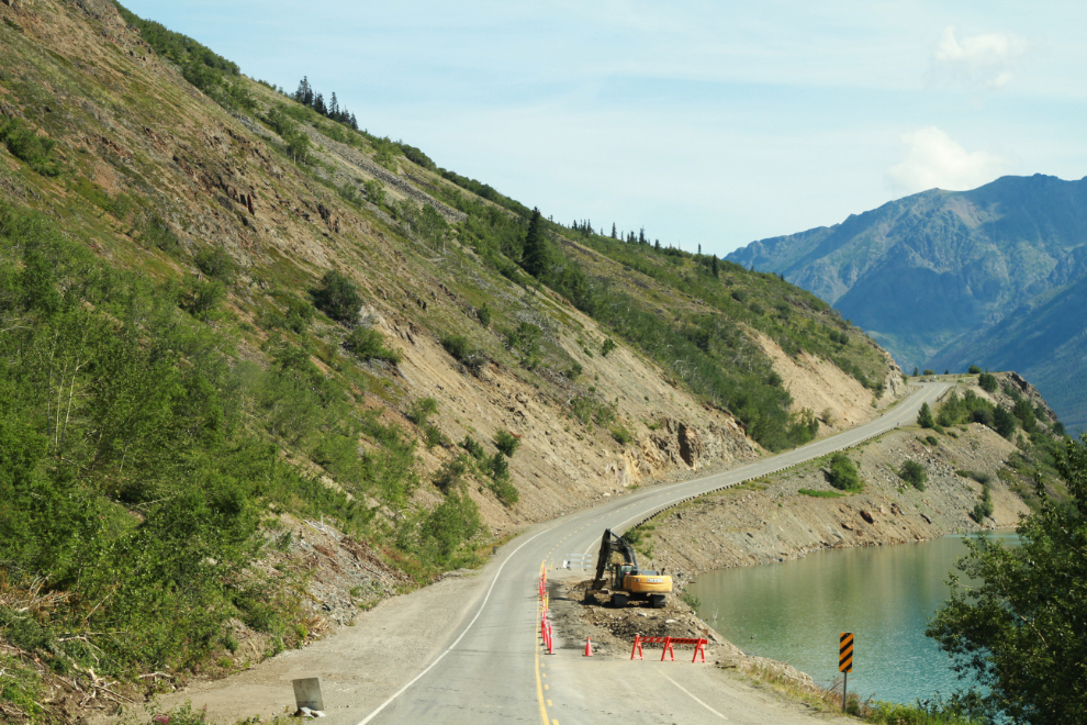
Repairs to the section of highway that was washed out as a result of the Dail Creek culverts getting plugged with debris are almost complete.
By about 2:00 I was relaxing on our deck at home, in the sun at 27&de;C (81°F), with a cold beer. A nice way to end a very good getaway.