Flying from Whitehorse to Phoenix
I returned yesterday evening from a marathon 4-day trip to Phoenix and back. This was the final step in starting a new stage in our lives, buying a motorhome and focussing on slowing down and seeing the North in great detail instead of travelling abroad. The plan for this trip was to fly down, confirm the purchase of a rig we hadn’t seen, and drive it home. That didn’t quite work out, but more about that later – it was an amazing trip. Yesterday morning it was 96°F, this morning I’m wearing fleece.
I had decided to go down a more interesting way than what I’d usually do, which is flying from Whitehorse to Vancouver, and then on to wherever, all in jets. This time I’d drive to Skagway, take a tiny plane to Juneau, and then switch to jets on routes I don’t often see.
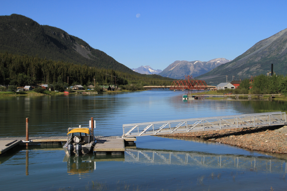
The weather forecasts showed a bit of everything for the route on Tuesday, not surprising on a route of some 3,540 km (2,200 miles). It was certainly beautiful when I passed through Carcross at 09:10.
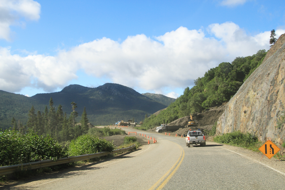
The South Klondike Highway had been closed by landslides a couple of weeks ago, and crews are still hard at work clearing the incredible amount of gravel that came down at Tutshi Lake.
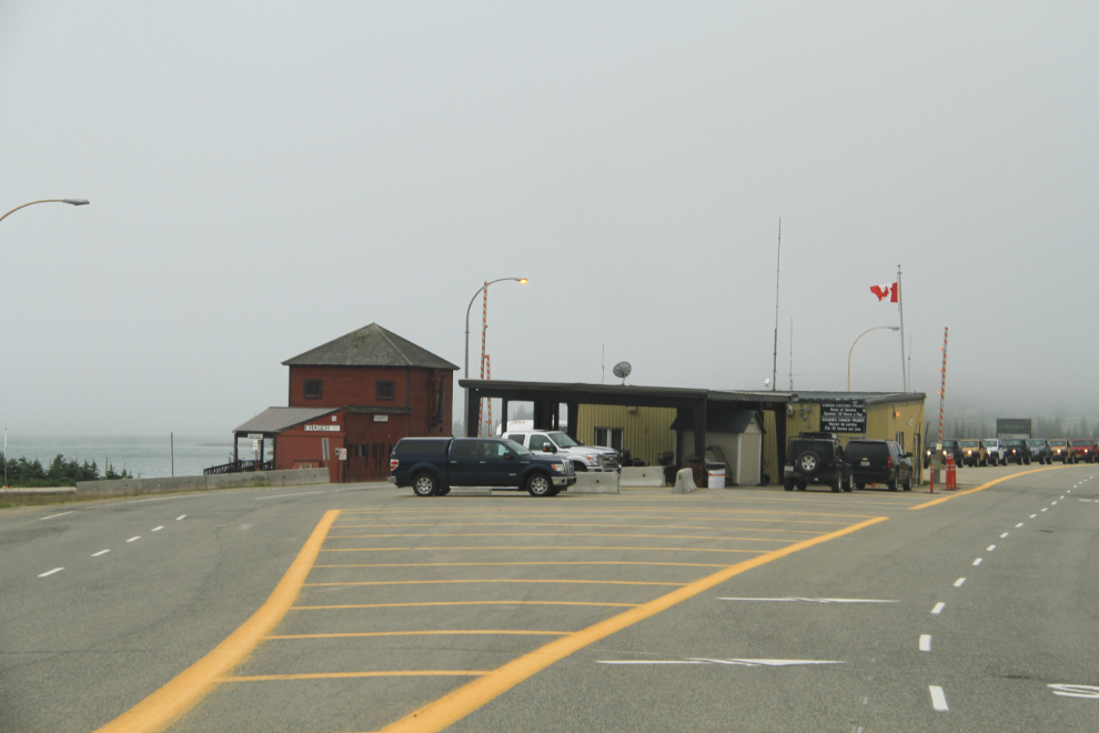
Clouds formed and got thicker as I drove south. I don’t know what caused this lengthy lineup at Canada Customs at Fraser. Through the White Pass, visibility dropped to 20-30 for a couple of miles, and although I knew logically that the visibility would be okay at sea level, I did get a bit anxious that my flight may not be able to get away from Skagway.
I love little airports! Okay, I love any airport, but especially little ones like Skagway.
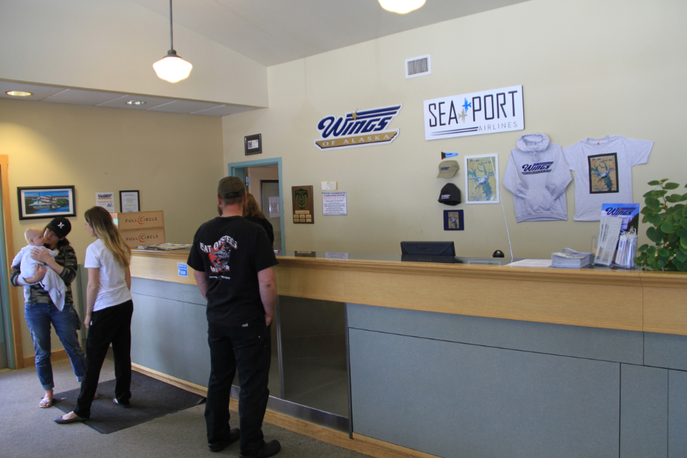
My first flight of the day was to be 45 minutes to Juneau in Wings of Alaska’s 1984 Cessna 207A Skywagon N62AK.
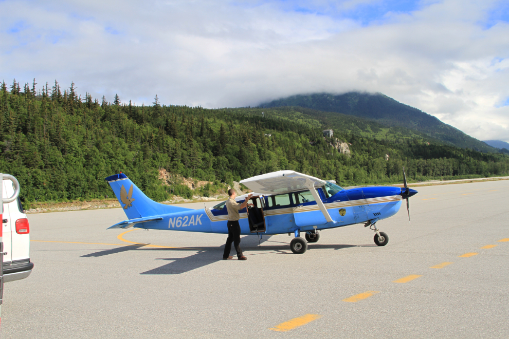
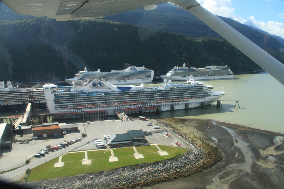
At 09:50 Alaska time, off we went. I would be a very busy day in Skagway with 4 large cruise ships in.
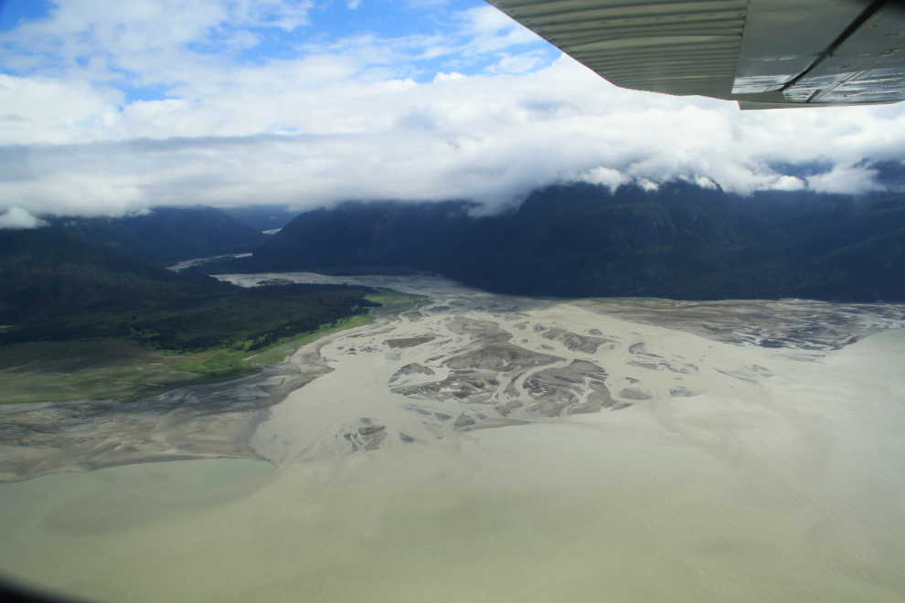
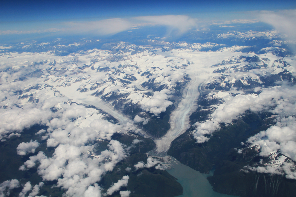
The Katzehin River, which flows into Chilkoot Inlet from the Meade Glacier, 27 km (17 miles) south of Skagway.
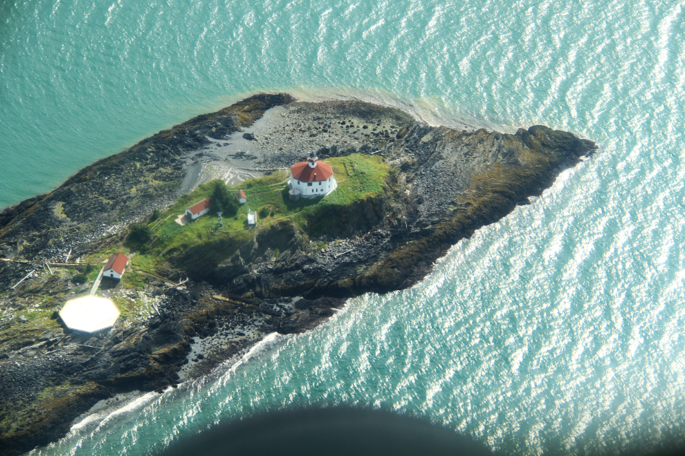
The historic Eldred Rock Lighthouse in Lynn Canal was first lit in 1906.
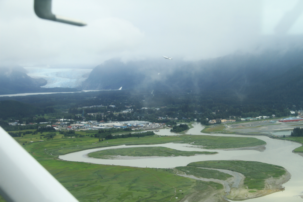
We skirted a rain shower as we arrived at Juneau. That’s the Mendenhall Glacier in the background.
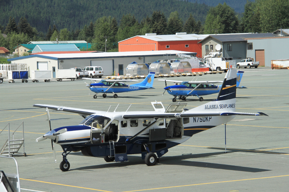
I had 3 hours to kill in Juneau, and had planned on having a good brunch, but the cafe has been closed and a new restaurant is still under construction, so all that was available was a snack bar. Oh well, there are always more planes to add to my collection, many of which I post at Airport-data.com. 🙂
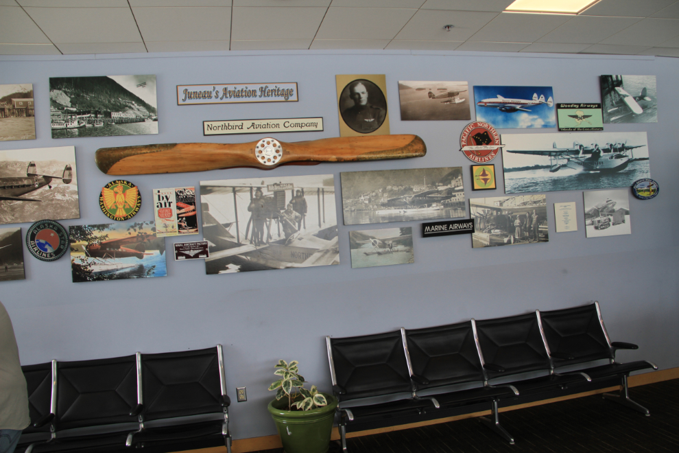
There are artifacts and photos from Alaska’s aviation past all over the airport – this wall is in the departure lounge.
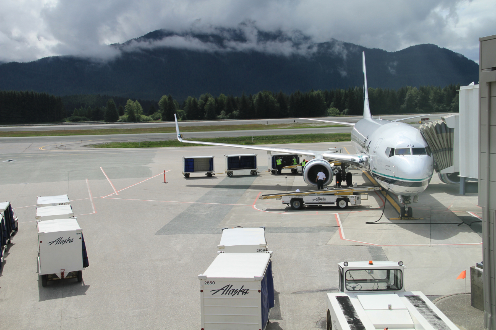
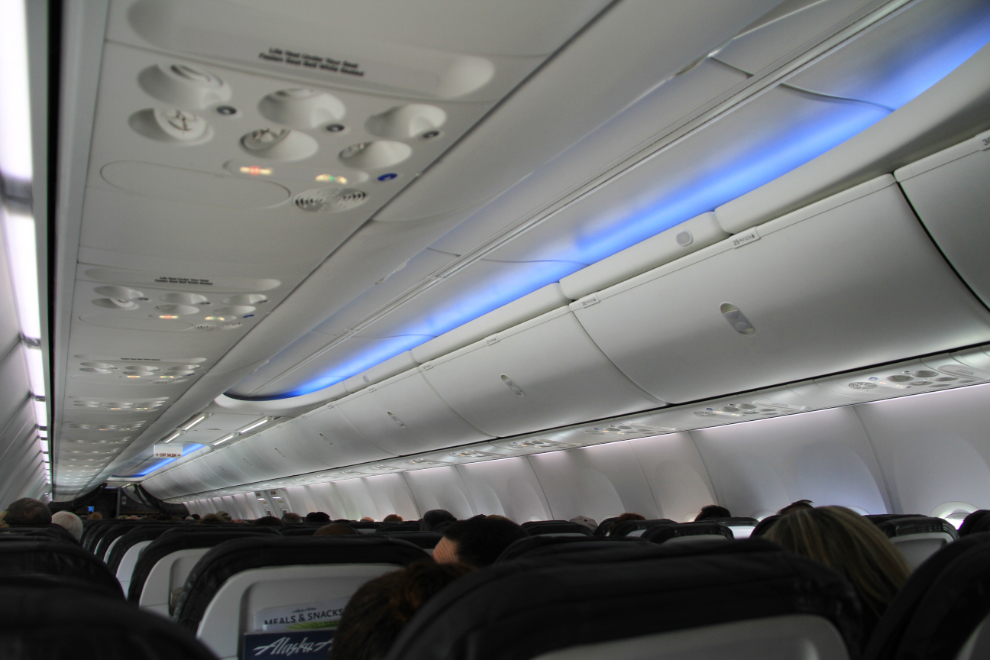
The next leg, from Juneau to Seattle, was in a beautiful new 181-passenger Boeing 737-900ER, N413AS. It was delivered to Alaska Airlines last May. The Recaro seats in this aircraft are extremely comfortable.
While there was some cloud south of Juneau, there were lots of breaks, too. This photo shows the Baird Glacier, and the smaller North Baird Glacier, flowing into Thomas Bay north of Petersburg.
Even from 37,000 feet, the cliffs in the Misty Fiords National Monument area east of Ketchikan are unmistakable. My 2 flights into Misty Fiords in a de Havilland Beaver rank very high among my best flights ever – you can see the 2012 flight here.
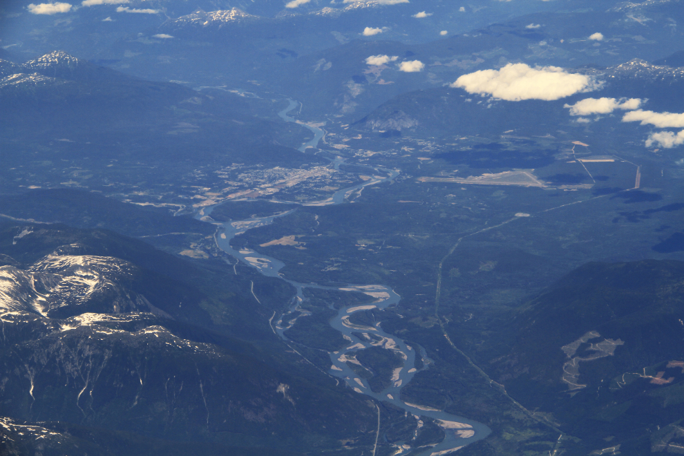
Looking up the Skeena River to Terrace, BC.
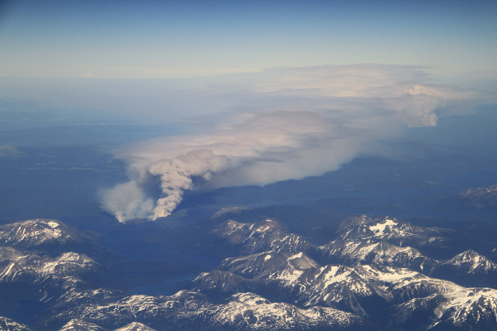
This was the first of many forest fires we saw on Tuesday – the closer one was near Eutsuk Lake, south of Terrace, the further one was at the Chelaslie River.
This is one of the very few places in BC that I haven’t really seen yet – Bella Coola. My first attempt to drive in, in about 1970, was blocked by a landslide, and when I flew in in about 1985 all I saw was the airport. Bella Coola, of course, is very high of the list of places I must see up close 🙂
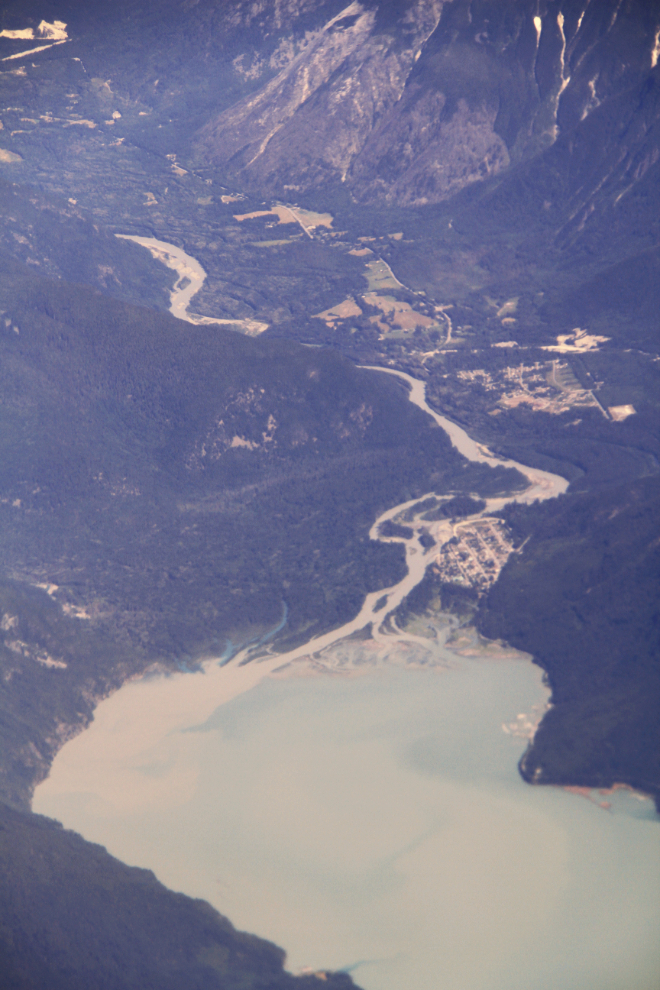
I look down on scenes like this one immediately south of Bella Coola and see incredible hiking destinations.
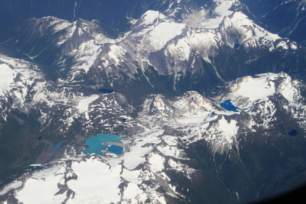
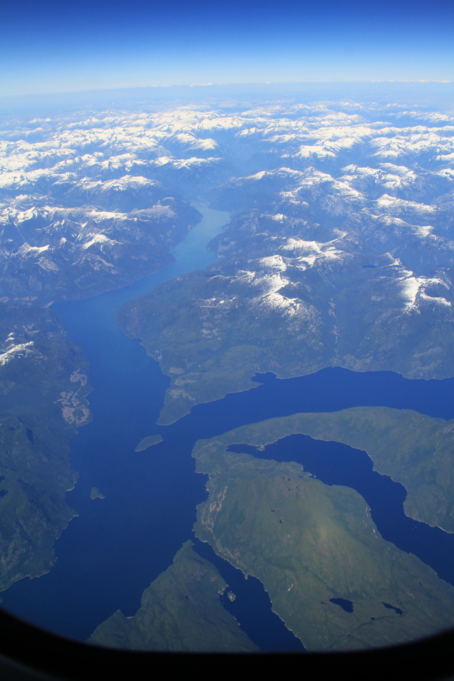
At the lower right is the head of Knight Inlet, one of the longest fjords in BC at about 125 km (78 miles). At the head of the Dais Glacier feeding it (the smaller of 2) is the highest peak in BC’s Coast Mountains, Mount Waddington, at 4,019 meters (13,186 feet).
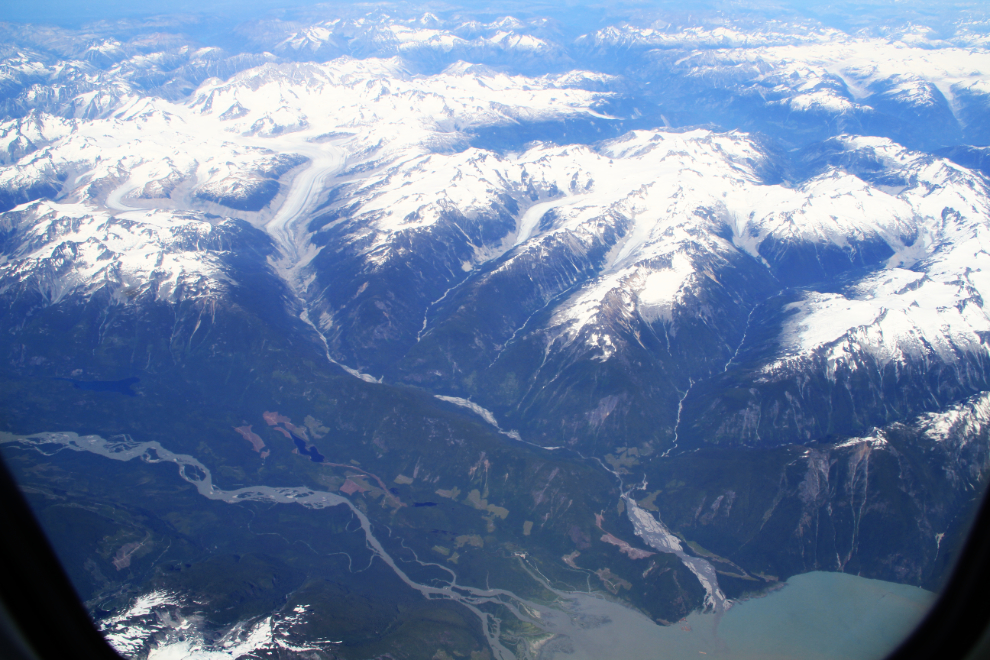
The longest arm in the next photo is Toba Inlet, just north of Powell River, BC.
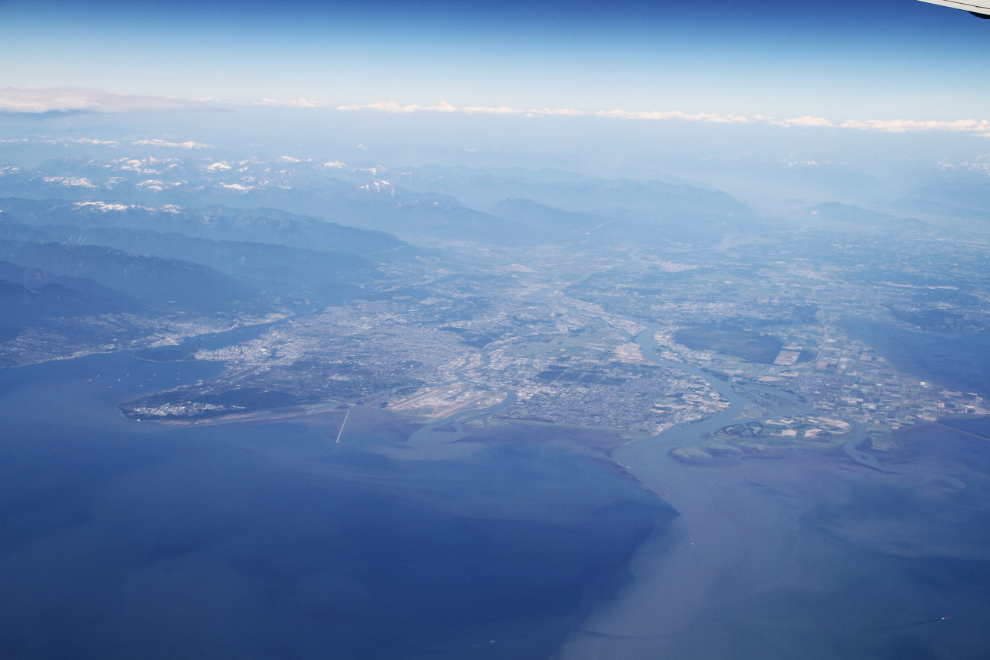
At 4:30 pm, we passed by Vancouver while descending to Seattle. That’s an angle that I don’t think I’ever ever seen Vancouver from before. Downtown Vancouver is centre left, the green peninsula below it is home to the University of British Columbia, and the muddy water is from the Fraser River.
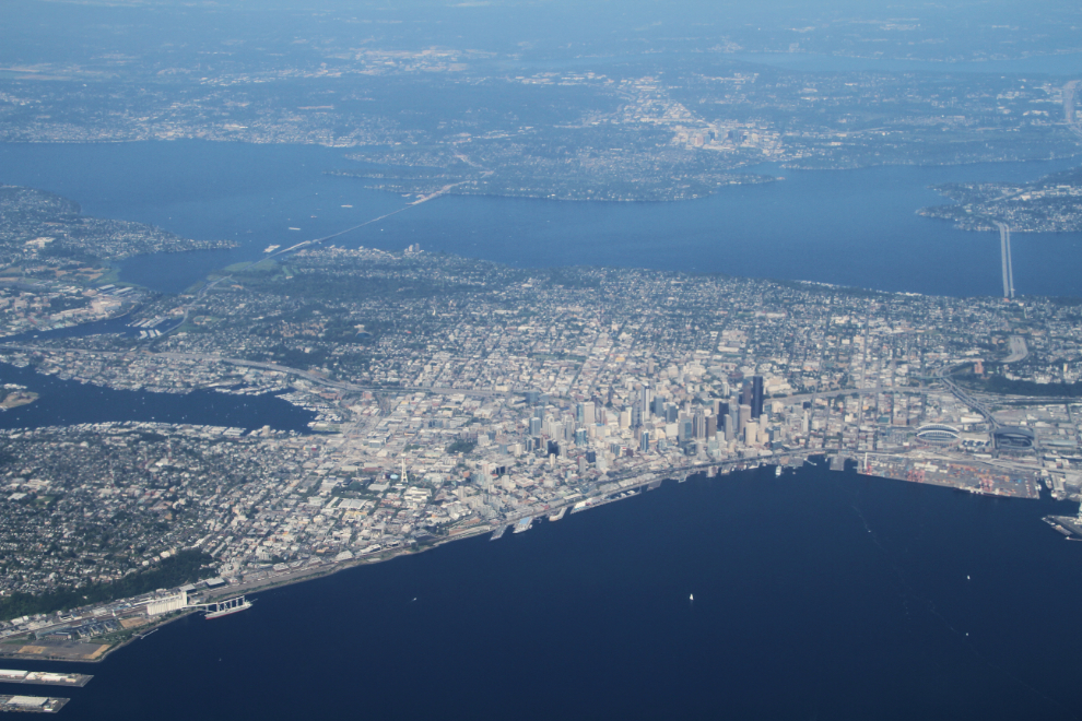
Downtown Seattle.
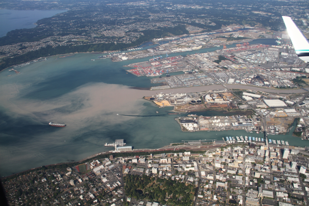
The industrial Port of Tacoma, located where the Puyallup River flows into Commencement Bay.
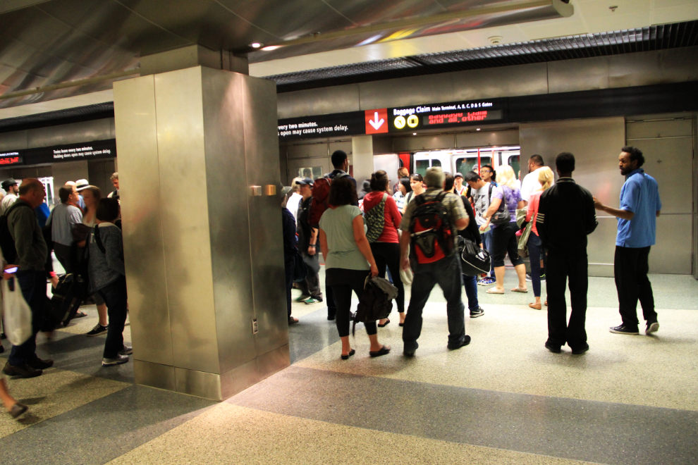
I had an hour and 50 minutes to connect at Seattle, but a last-minute change in departure gates meant that a lot of people had to take a train to another terminal, so there wasn’t a lot of time to spare.
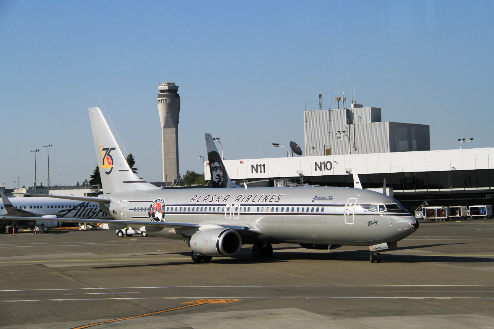
For the flight to Phoenix, we were assigned N569AS, one of Alaska Airlines’ Boeing 737-890 ETOPS 75th anniversary aircraft, “Starliner 75”. The ETOPS designation on this aircraft is interesting (well, it is to plane geeks 🙂 ) – ETOPS is an acronym for Extended Range Twin Operations, an FAA rule that allows twin-engined airliners to fly long-distance routes – in Alaska Airlines’ case, to Hawaii
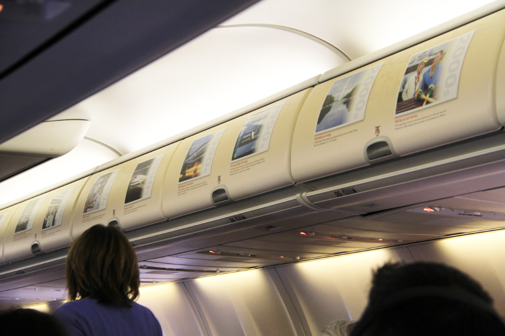
In the cabin of N569AS, you could read many factoids from Alaska Airlines history along the luggage compartments.
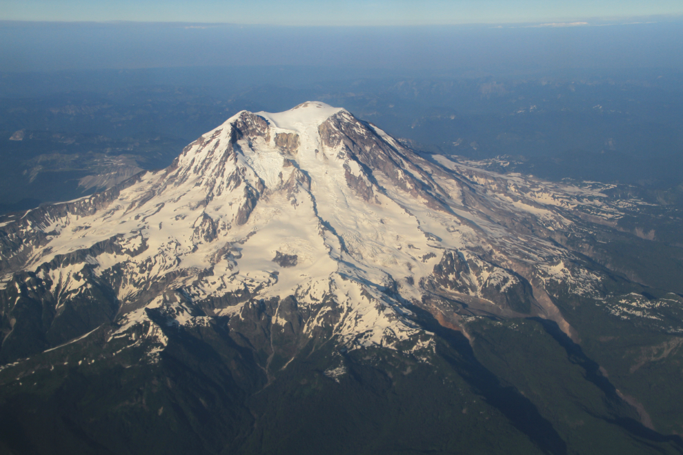
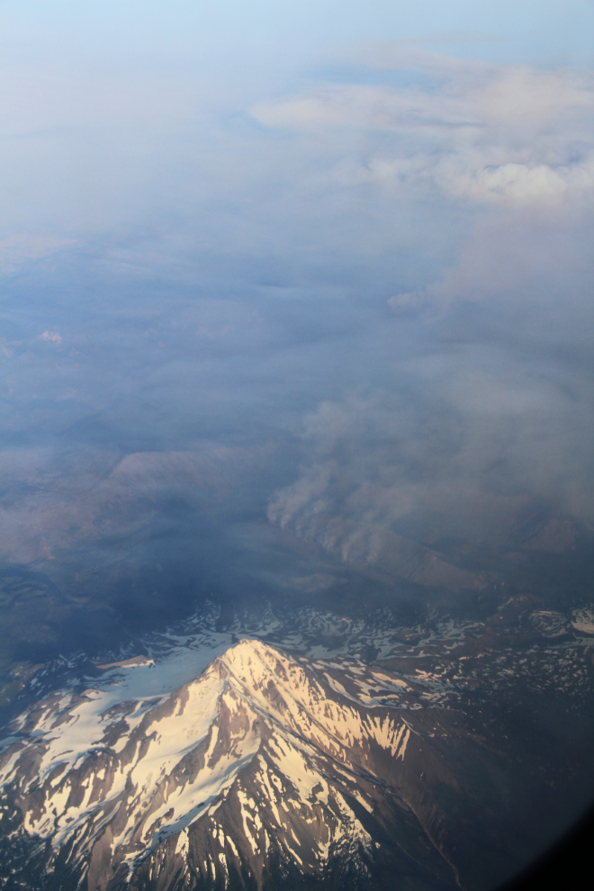
At 7:10 pm, we were looking down on Mount Rainier, the most impressive peak along the coast at 4,392 meters (14,411 feet). It’s also considered to be one of the most dangerous volcanoes in the world because of the large glaciers on it, and the fairly densely populated valleys below.
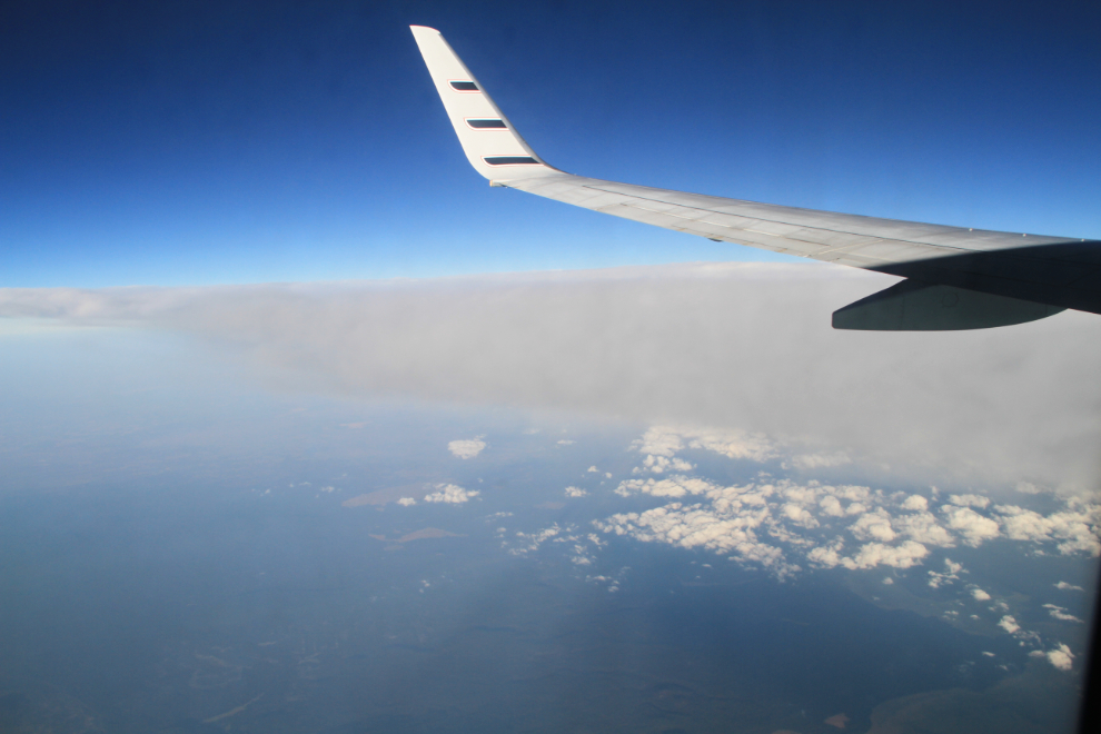
At 7:30, we were beside the forest fires that would soon blot of any views of the ground for the rest of the flight.
Ten minutes after passing the fires seen in the photo above, the smoke from all the fires along the west coast seemed to join, and within minutes the ground was all but invisible.
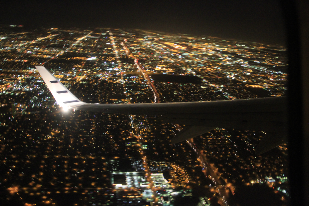
At 10:40, we were just a minute or so from landing in Phoenix. The last time I was in Phoenix about a dozen years ago, I was just passing quickly through and hadn’t paid any attention to how large it is. Knowing I was going to have to drive around in it this time, I sure noticed now!
I had hotel reservations at the Aloft Phoenix Airport Hotel, and about 10 minutes after I called them, their shuttle arrived.
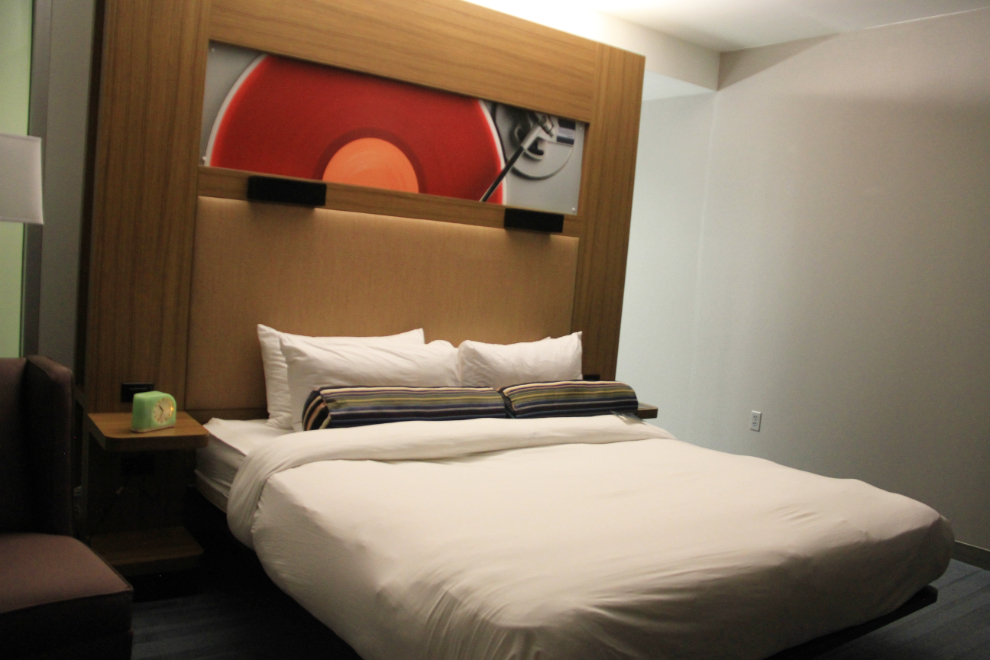
I’d been intrigued by Aloft ever since Starwood Hotels launched the brand a few years ago, and it was a great choice for this trip. Fairly new, and wonderfully functional without any glitz.
I went down to the bar, had a beer and was soon in bed. Tomorrow was going to be a very busy day.