Flying from Whitehorse to Kelowna with Air North
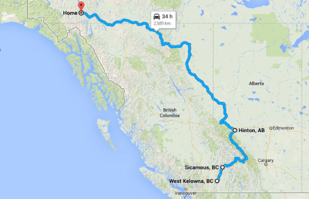
I got home very early Tuesday morning from another big adventure across British Columbia and the Alberta Rockies by air and land, bringing a new motorhome to Whitehorse for friends. I didn’t have time to post while I was on the road, but this is the first of probably 4 posts about it.
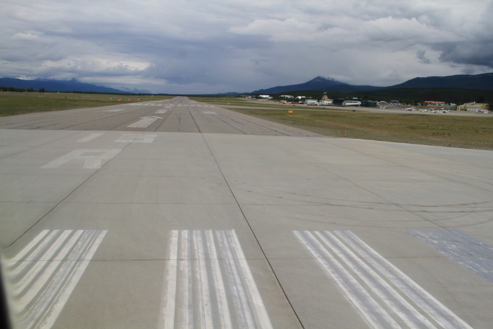
On Thursday evening, I boarded one of Air North’s 122-passenger Boeing 737-500s for the flight to Kelowna via Vancouver. At 17:12 we lined up to take off on runway 14R…
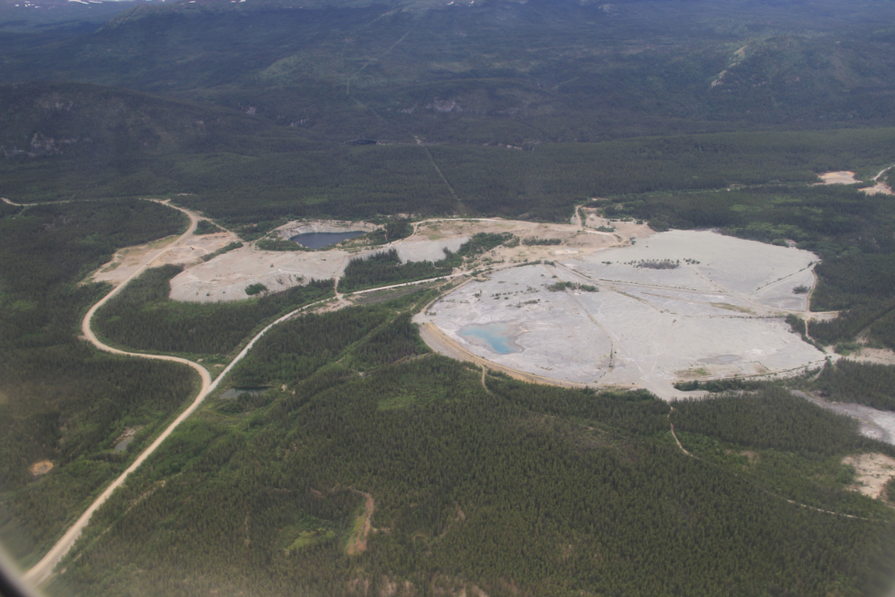
Whenever the chance arises, I check out the old Whitehorse Copper site to see if the project to reprocess the tailings to extract magnetite has begun. Not yet, it seems.
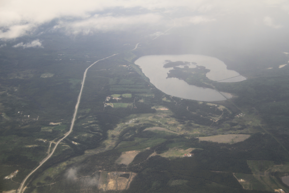
We climbed into the clouds as we passed over Cowley Lake, just to the southeast of Whitehorse. The long-abandoned tracks of the WP&YR railway can be seen crossing the ends of both arms of the lake.
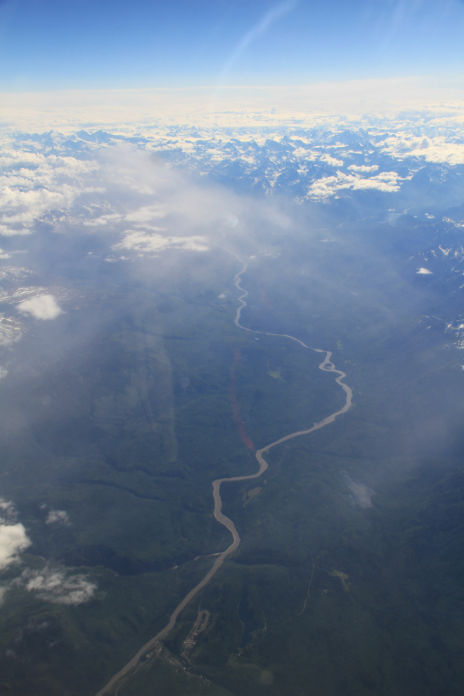
I got a lucky break and the sky cleared as we passed over the Stikine River. The village of Telegraph Creek can be seen right at the bottom of the photo, which looks downriver (to the west).
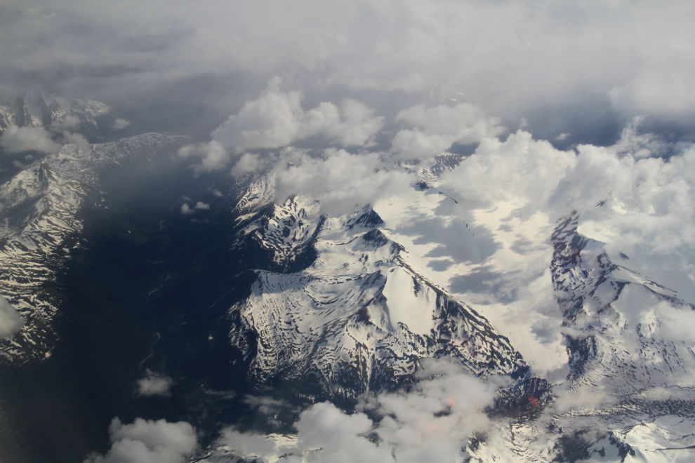
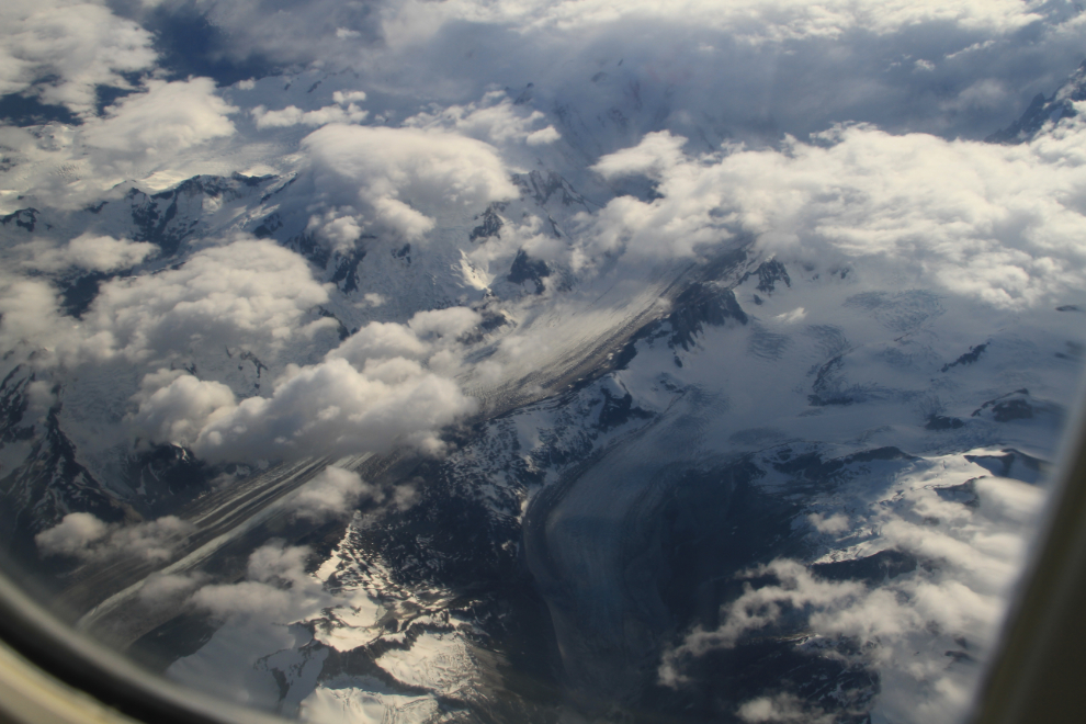
I never get bored of flying over the Coastal Mountains. Glaciers in particular fascinate me.
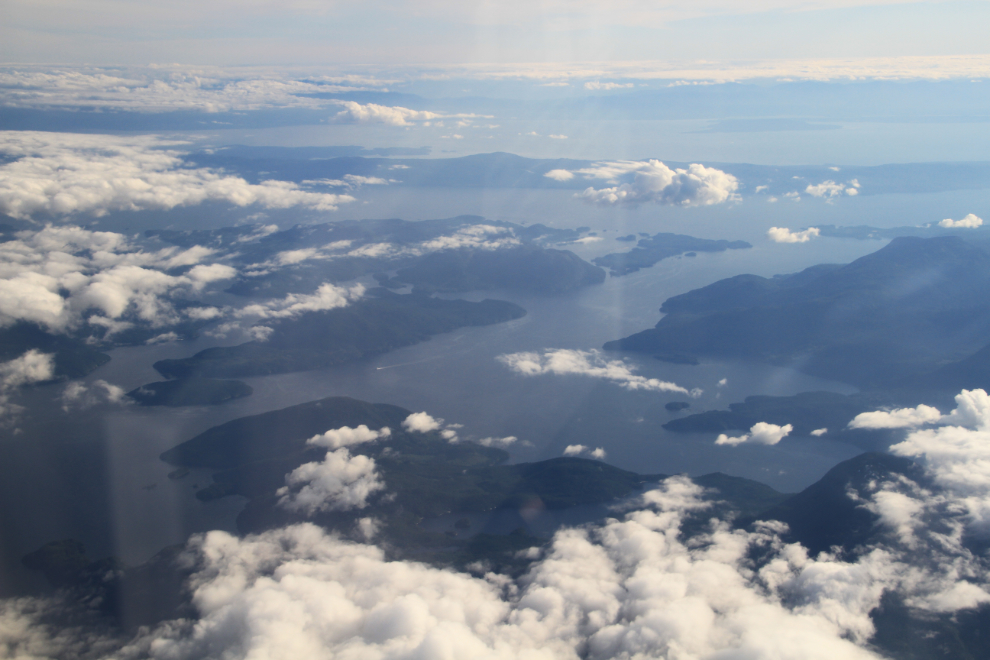
Approaching the Sunshine Coast as we descended into Vancouver at 19:04.
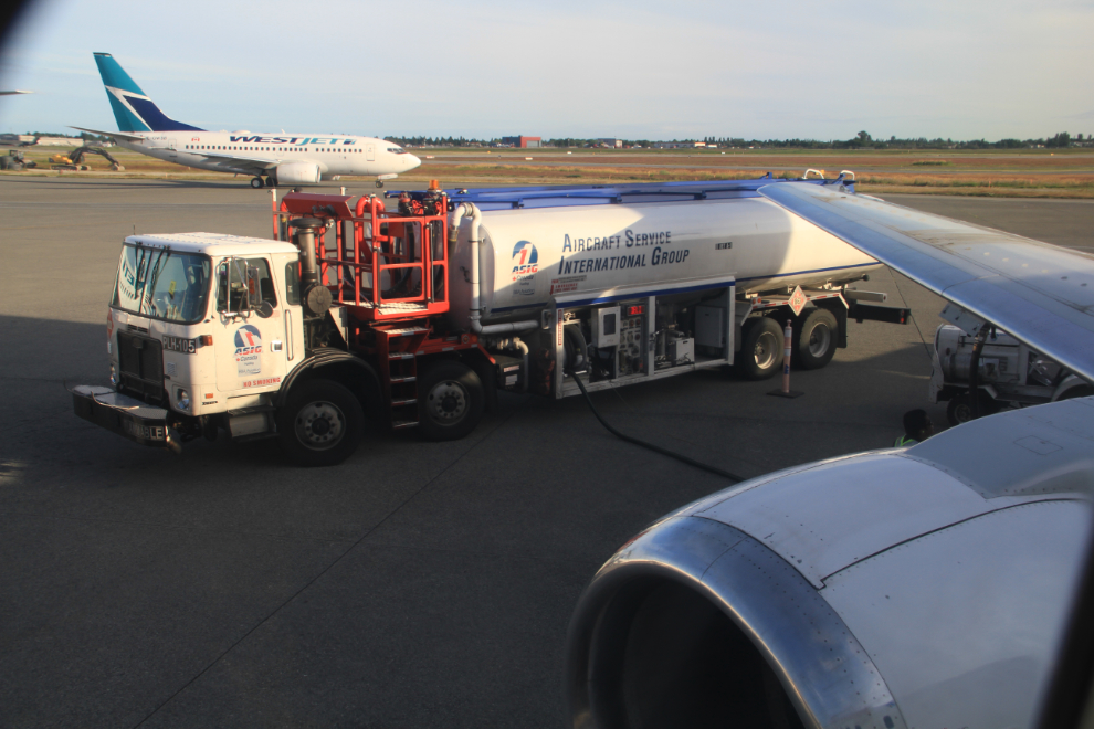
About 2/3 of the passengers got off in Vancouver, and the seats were all refilled as the airplane’s fuel tanks were topped up.
This 5-minute video shows our takeoff and the climbout over the Fraser Valley as far as Mission.
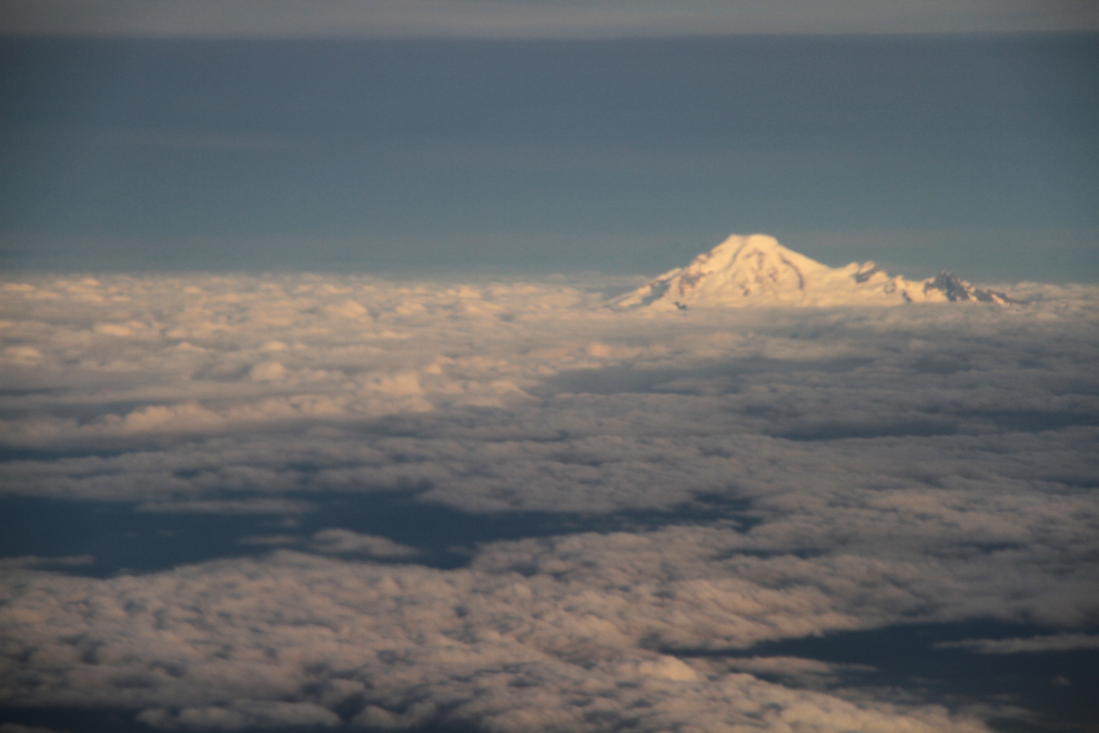
Mount Baker, in Washington State, pokes her head up above the clouds.
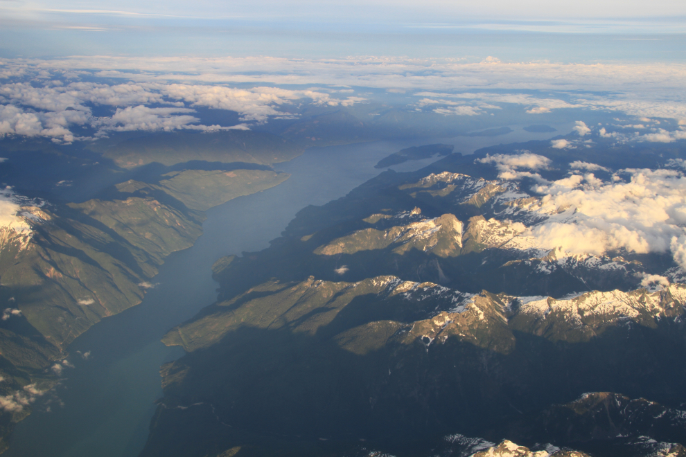
Harrison Lake, so close to Vancouver and yet accessible only by old logging roads or not at all. When I lived in Vancouver, especially through the 1970s, I used to spend a fair bit of time in that gorgeous backcountry.
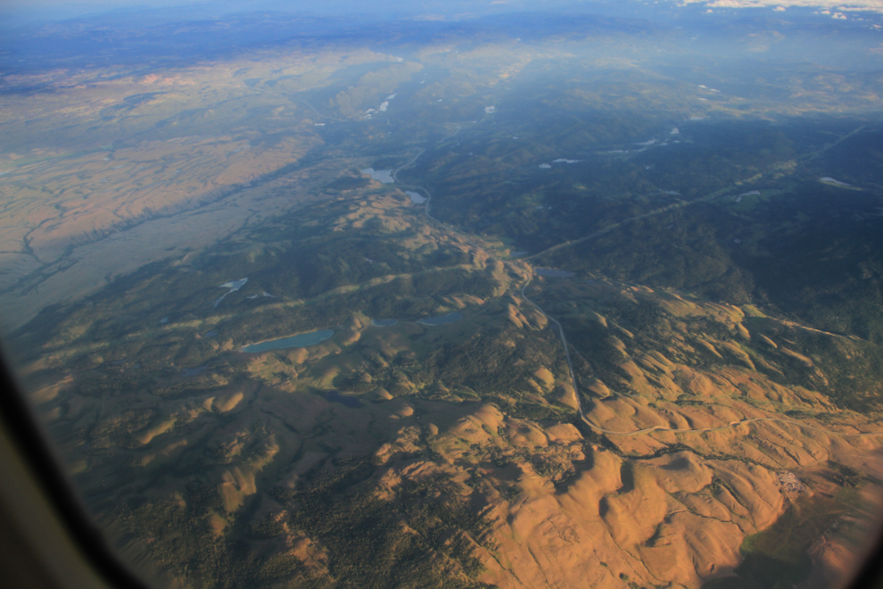
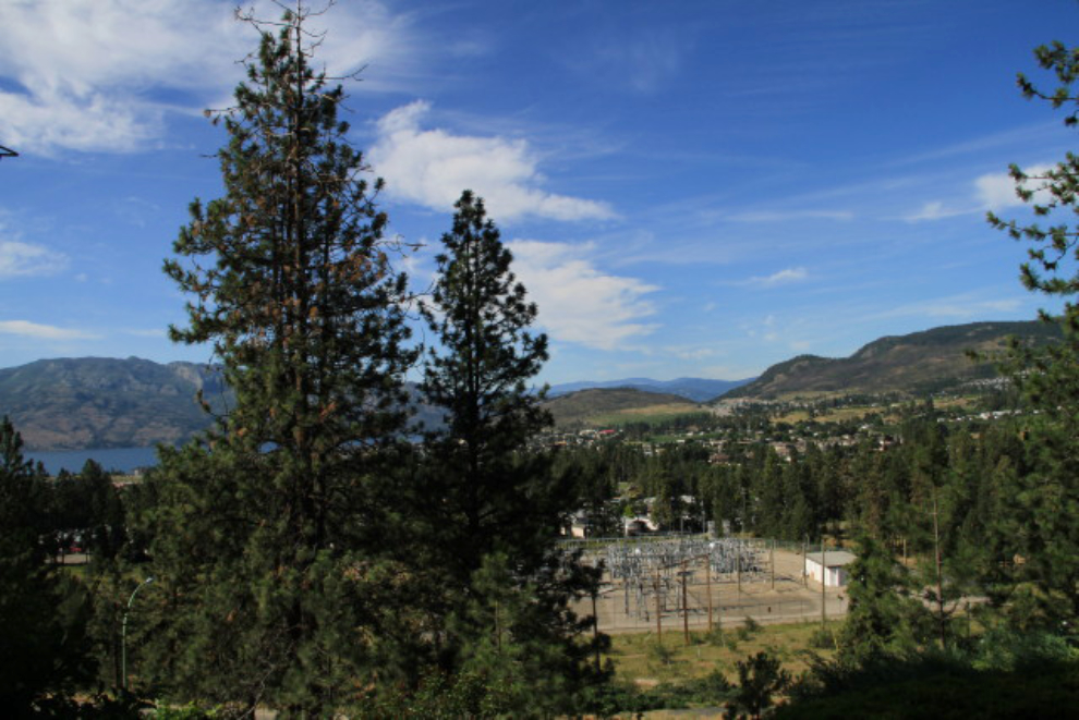
In BC’s drybelt Interior, the highway known as the Okanagan Connector or Coquihalla Connector runs vertically through the center of this photo.
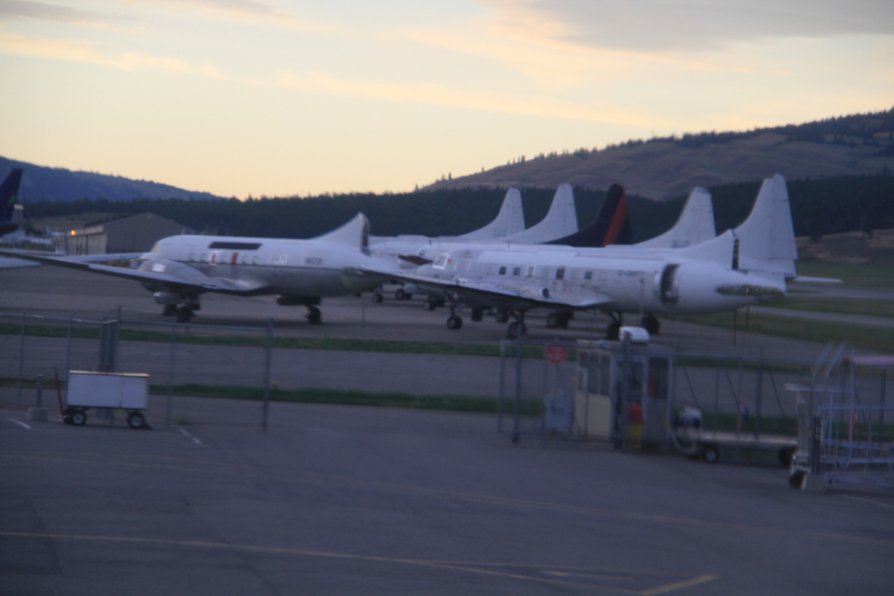
We landed in Kelowna at 20:50. I’d sure like to get a good look through the ever-growing number of Convairs sitting at Kelowna Flightcraft waiting for conversions and upgrades.
My sister and her hubby picked me up and took me over to visit with my Dad. We awoke to a beautiful morning on Friday – what a day to start the driving part of the adventure!
At 3:00 pm, I met Howie, the fellow who owned the motorhome my friends bought, and 3 hours later, I pulled away from Sicamous in the beautiful 29-foot Newmar, planning on driving for about 4 hours that night.