Flying from Vancouver back to Whitehorse
The process of disembarkation from the Koningsdam at Canada Place, getting a taxi, and getting to our flight home, had stressed me out but with Cathy’s help as well as good organization by the cruiseline and dock workers, and probably some luck, it was quick and simple.
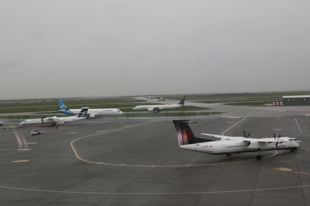
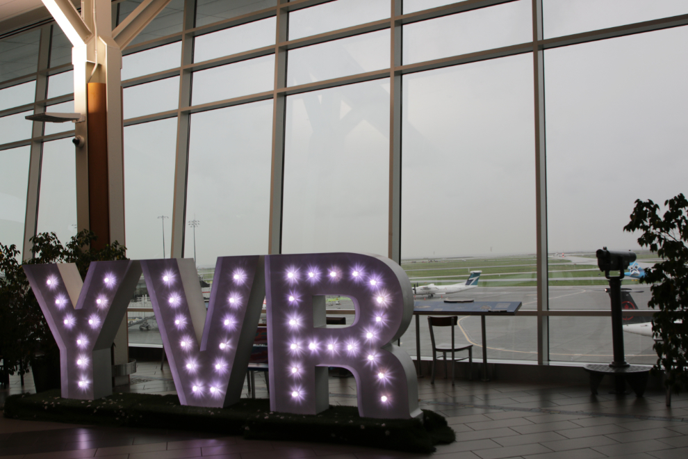
By 09:40 I was already relaxed at YVR and taking photos. Our flight was scheduled for 1:30, and the Air North counter doesn’t open until 3 hours before, so we had time to kill before going through security. It was a dreary but busy day.
We had a simple Egg-McMuffin-type breakfast, then I went upstairs to the viewing area for a few minutes.
We went back to the checkin area at 10:15, and right at 10:30 as advertised, the Air North counter opened.
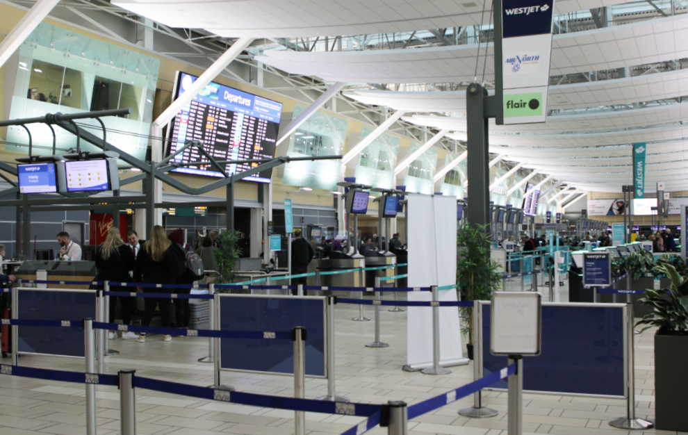
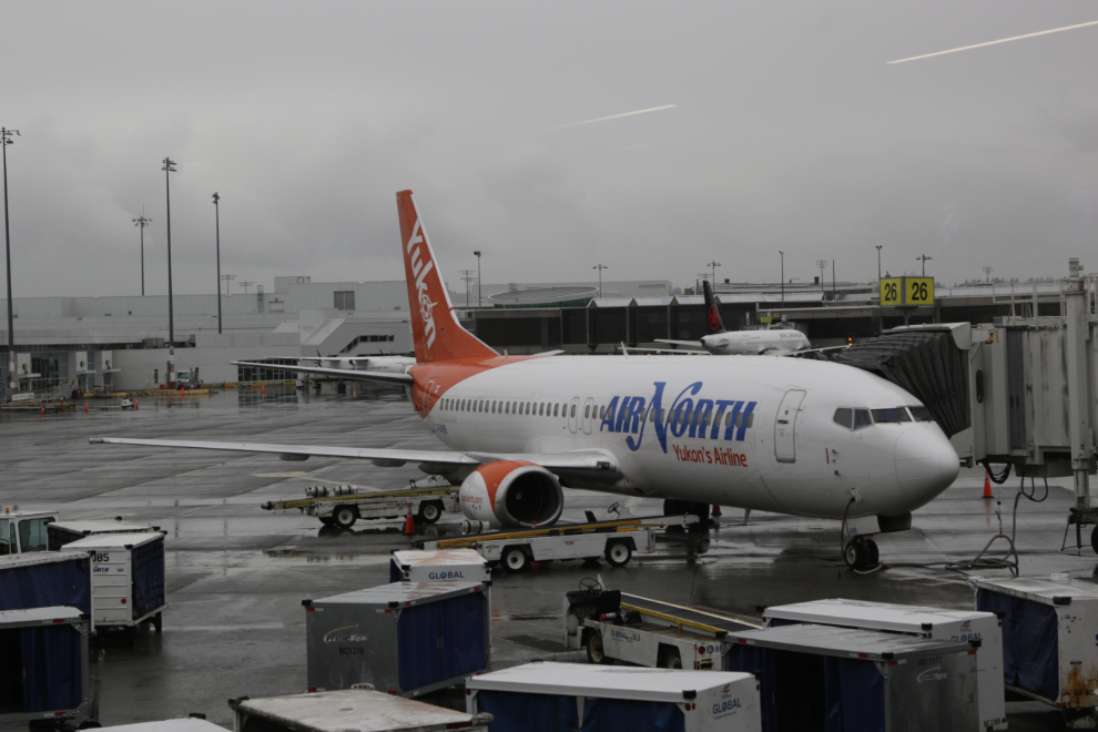
Checkin was simple, as was security and Customs, as we hadn’t brought anything back with us except photos. When we got to our gate, C-FANB was already waiting for us. That gate was too crowded so we found a much more comfortable place to wait.
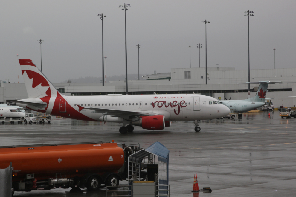
There wasn’t much interesting traffic to see from our chosen chairs, this Air Canada Rouge Airbus A-319 (C-GITP) being the sole exception. It’s rather hard to believe that this particular aircraft is now over 22 years old.
We left Vancouver at 1:30. We were in the clouds within seconds, and I was asleep pretty much immediately after that, as I had hoped, as flying is difficult for me now.
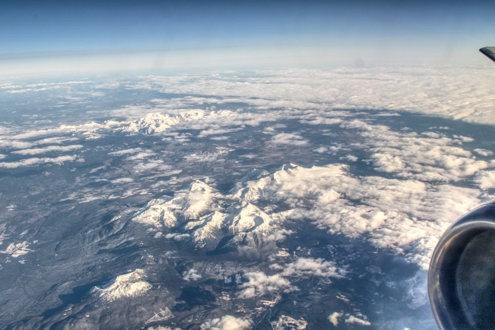
When I woke up at 2:40, the skies had cleared and we were just south of the Skeena River. The massif in the foreground includes Blackberry Peak, Miligit Peak, and Serb Peak. Note that I have processed all the high-altitude aerials as HDR images for clarity – I’ll show you further down why.
At 2:44 we were right over the Skeena, with Stekyooden (Roche de Boule Mountain) dominating the view, and the First Nations community of Gitsegukla at the lower right.
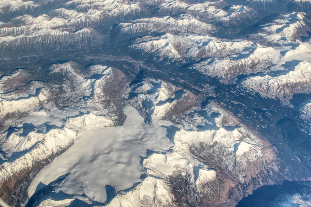
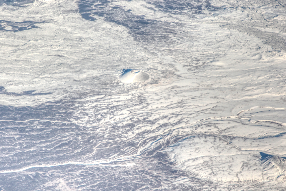
I haven’t yet identified the location of the remnant glacier seen in the next photo, shot at 2:59.
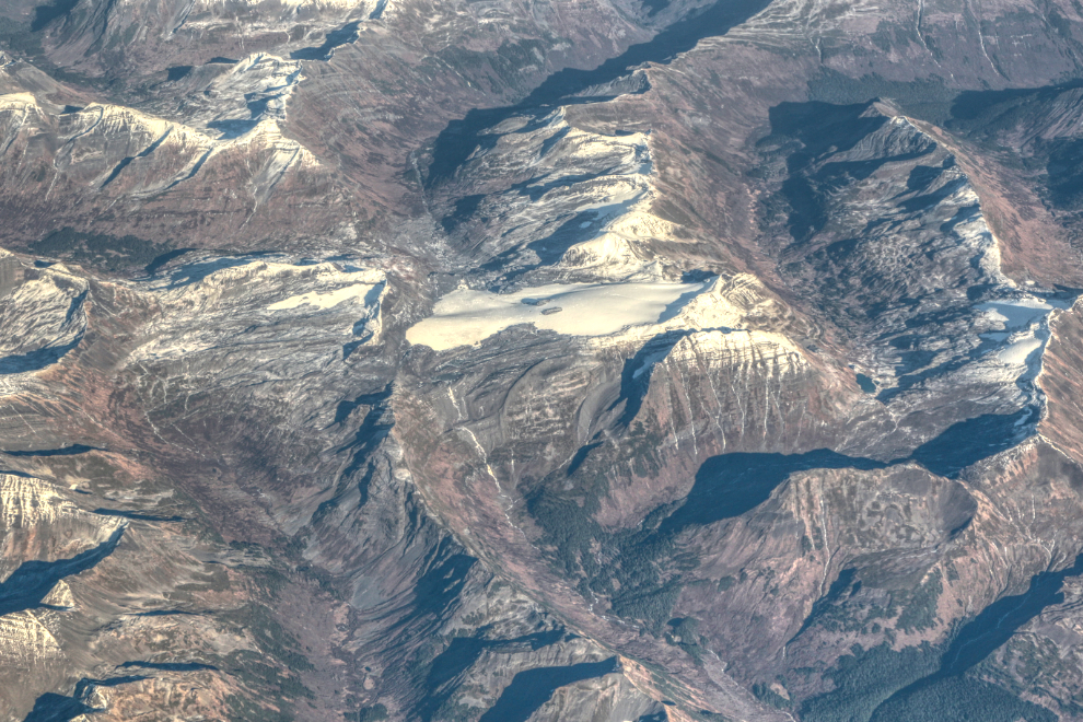
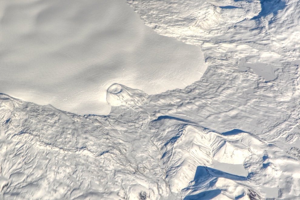
The location of the much larger icefield and glaciers, photographed at 3:06, is also not known yet.
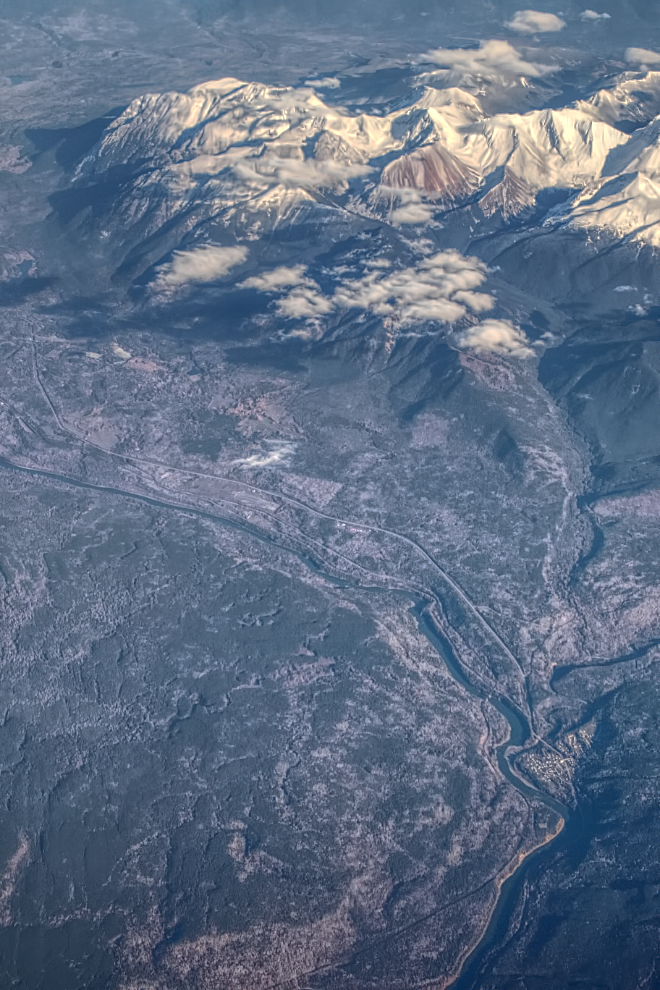
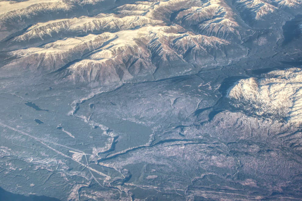
At the lower left of the next photo, the long-abandoned Burrage Creek airstrip can be seen the left (north) of dramatic Burrage Creek canyon, with the Stewart-Cassiar Highway (BC Highway 37) angling across it, and a powerline cut below. This photo was shot at 3:09. I have many photos of that area shot from the ground.
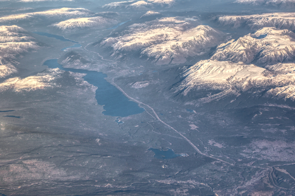
The large lake seen along the Stewart-Cassiar at 3:10 was Kinaskan Lake, then little Tatogga Lake, then large Eddontenajon Lake above it.
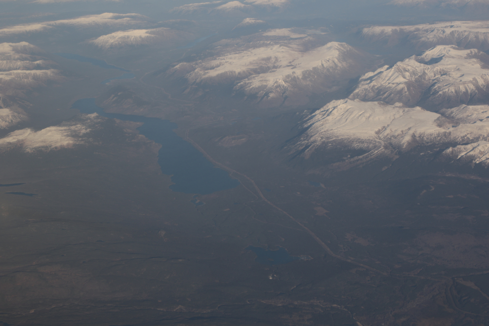
The next photo shows you what the Kinaskan Lake photo above looked like right out of the camera, with no editing. Yes, HDR can make a dramatic difference to a muddy photo.
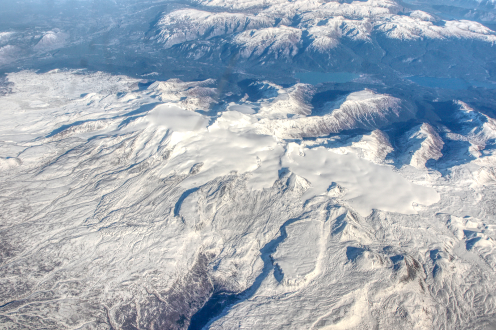
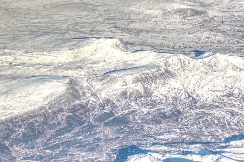
Every few years I luck into the right flight path, the right seat, and the right weather to increase my photo library of one of my favourite mountains, Mount Edziza, east of Telegraph Creek. This was one of those days when all 3 components came together. The first photo shows the heart of the Mount Edziza volcanic complex, at 24mm.
Next, an as-yet-unnamed cinder cone emerging from the south end of the retreating icefield, at 105mm.
To the northwest, my favourite cinder cone because it’s so perfect, aptly-named Eve Cone, also at 105mm. I first saw Eve at low altitude from my Cessna in 1985.
The day after getting home, I posted this photo on Facebook with the comment “It’s nice to get warm for a while, but this is the world I belong in ❤ (this is 9 minutes north of Mount Edziza – the main peak is Meszah Peak)”
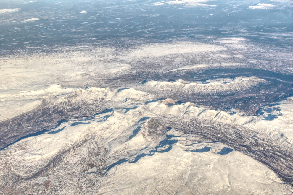
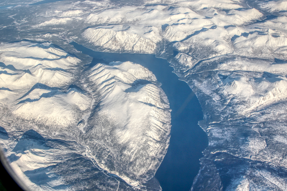
Southeast of Atlin at 3:22. What fascinating country.
The next photo shows most of Surprise Lake, north of Atlin.
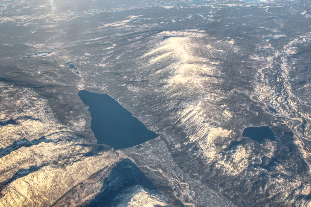
Indian Lake, with Mt. Ewing above and to the right. I expect that a ground inspection of Indian Lake would show that it’s dammed by a glacial moraine.
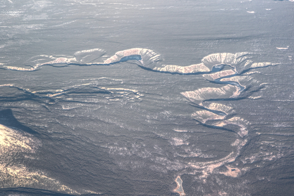
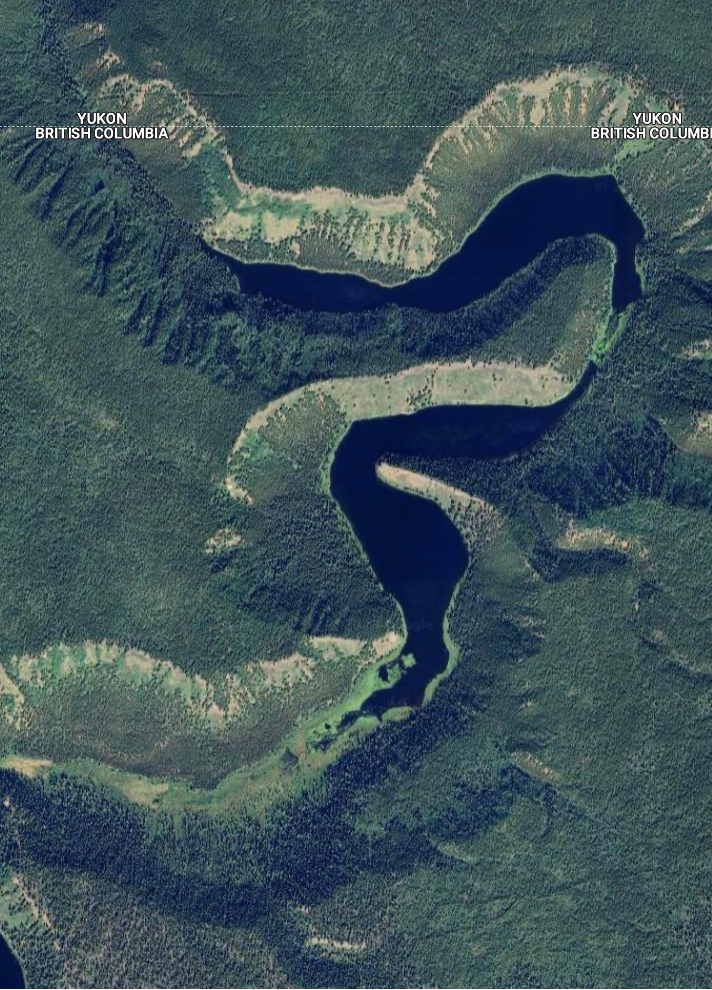
This dramatic glacial-drainage river channel straddles the BC-Yukon border just east of Atlin Lake, but I haven’t yet found a map that names it.
Here’s a closer look at the central part of it, from Google Maps.
On final to land at YXY at 3:55, the Alaska Highway crosses the lower part of the photo, and the Yukon River flows to the left across the middle. The large white area is Meadow Lakes Golf Club.
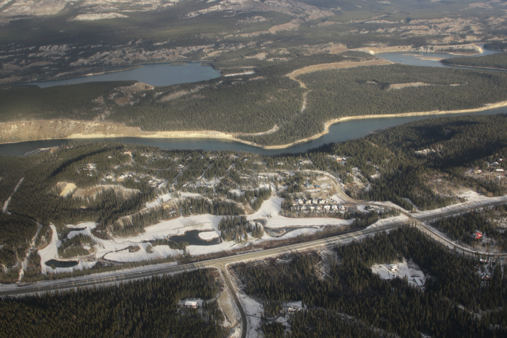
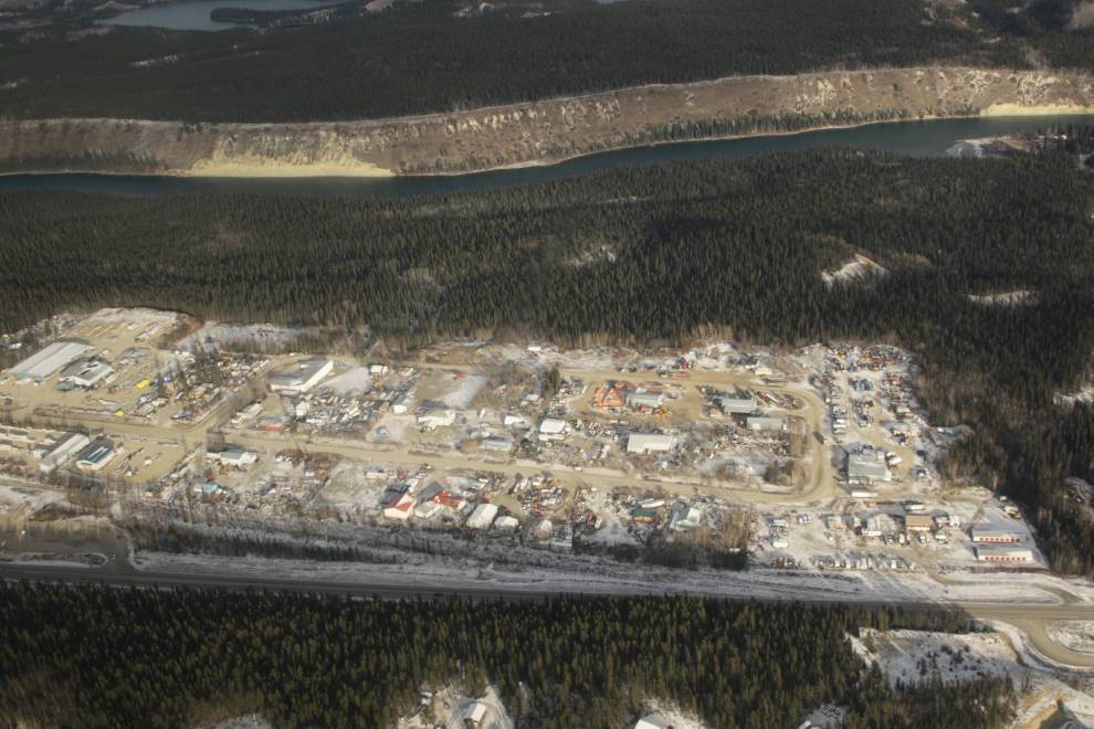
The McRae Industrial area was a US Army camp during construction of the Alaska Highway.
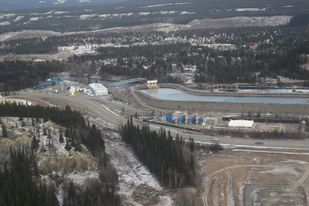
The Whitehorse power dam, with the diesel and natural gas generating plants for use when the water is frozen.
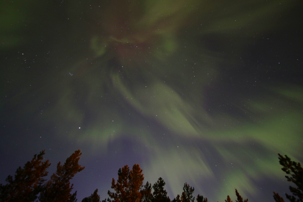
While that was the end of the flight, I want to show you one more photo, of the welcome-home aurora display that night. With a KP of only 1 and a very bright moon, this show should not have happened, but the sky was full and it was wonderful 🙂
Having taken a few weeks break from things…I am looking forward to seeing what you have been up to, post Hawaii trip. Those overflights are stunning… a lifetime’s worth of delightful trips to explore, following old logging roads, hiking, overflights, etc,
Thank you Murray , always love your pictures.
Thanks, Hanne 🙂
Always fascinated with those overflight photos…so much unknown and empty lands…wonderful!
Thank you – these routes are so different than those in most of North America, where signs of humans are never far away.
Always fascinating aerial view. Great photos.
Thanks, Barb.