Flying from Dawson City to Whitehorse with Air North
Part 3 of the 3-part series about my trip to Dawson City following the Yukon River Quest, and back to Whitehorse, covers the flight home in one of Air North’s Hawker Siddeley HS748s.
I asked the Eldorado Hotel to run me out to the airport at 12:15, and had a great chat with the driver during the 15-minute ride. Check-in at YDA is about as easy as it’s possible to be. No fuss, no stress, no lineups, no security – just flying the way it was 20 years ago.
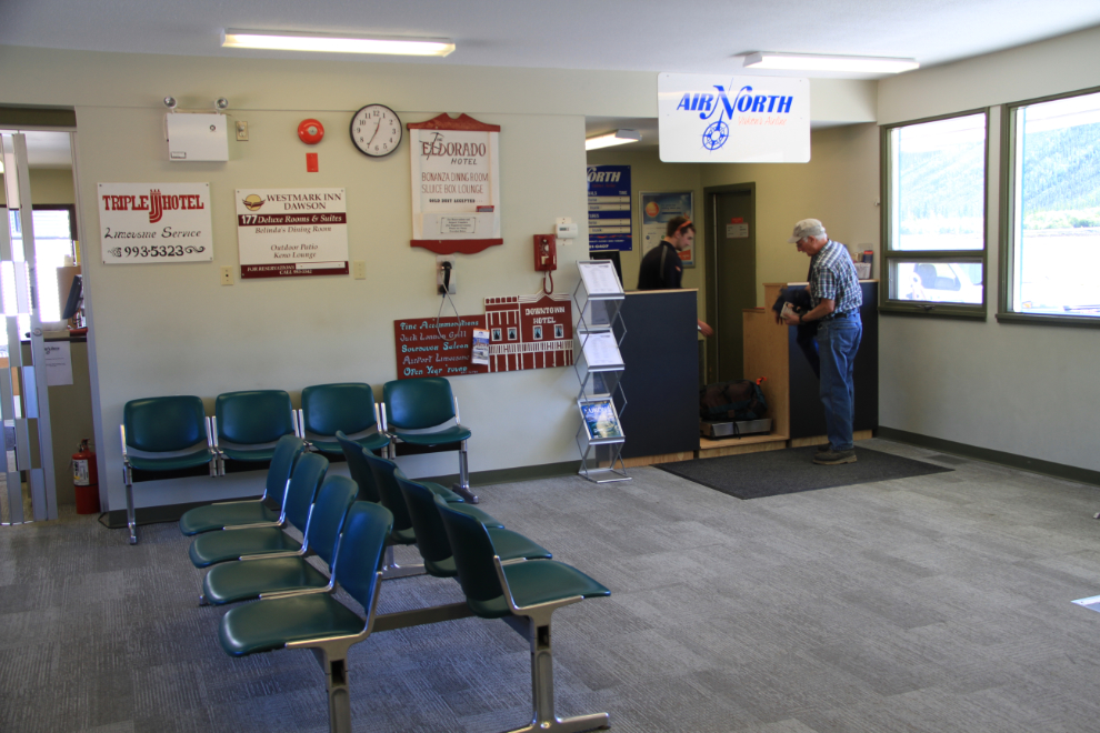
Holland America has switched from moving its passengers between Dawson City and Fairbanks by motorcoach, to an Air North Boeing 737-200. The jet, however, was damaged by a sewage pump truck at Fairbanks a week ago, so two Hawker Siddeleys are handling the flights until repairs are made. In the hour I was at the airport, I saw 3 different Hawker Siddeleys – that must make YDA the HS748 capital of the world for a couple of weeks 🙂
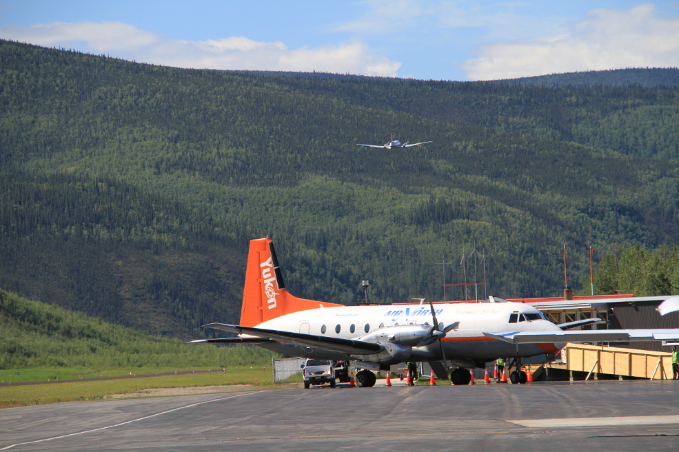
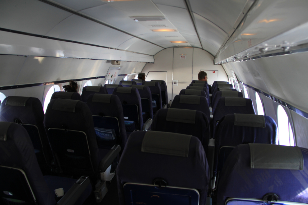
With all passengers ready to go, we loaded up C-FAGI and were on the takeoff roll at 13:18, almost half an hour early. Unfortunately, there were only 6 passengers on the 40-passenger aircraft. This is the first year that Saturday service has been offered to/from Dawson, and it hasn’t worked.
Good-bye, Dawson – see you again soon! 🙂
Within a few seconds, we were banking over the Klondike River Valley for the 70-minute run to Whitehorse. I was very surprised to discover that we would even get lunch on the flight – an excellent wrap, not just a tiny bag of pretzels!
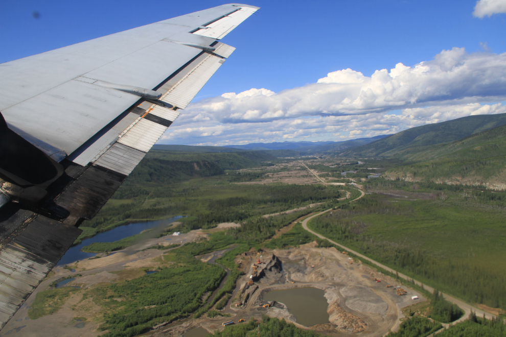
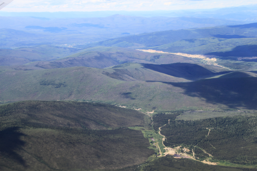
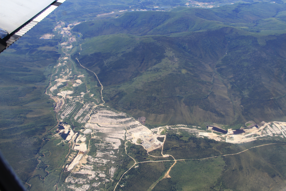
For the first 10 minutes or so of the flight, there were placer gold mining properties in many of the valleys we crossed over – some currently being worked, some very old. I kicked myself for not having my Spot GPDS with me in the cabin so I could figure out where these properties are.
This property has been dredged (dredge tailings are unmistakeable from the air).
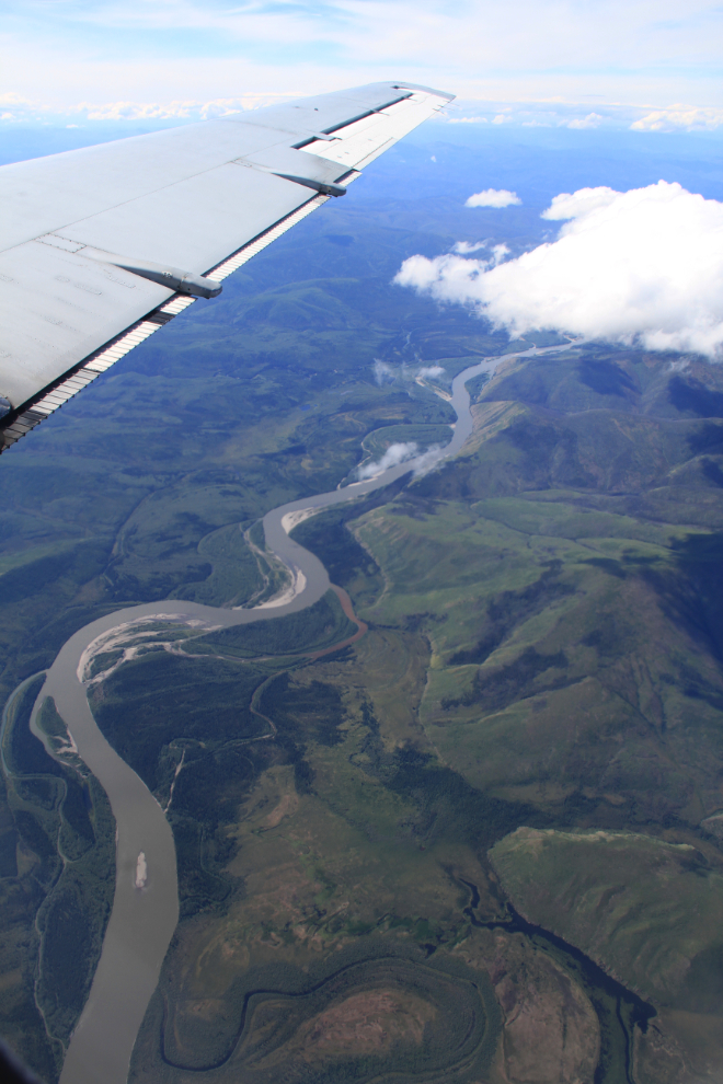
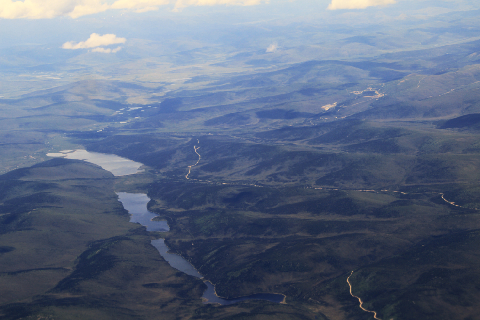
Passing over the Stewart River, looking downstream towards the Yukon River. The amount of land we passed over that, on my side of the plane, had no sign that humans had ever set foot there – no roads, no trails, no power lines, no survey cuts – was quite remarkable.
Towards the upper right is the site of the former Mount Nansen gold and silver mine, 60 km west of Carmacks. Abandoned by BYG Natural Resources Inc. in 1999, this is a property with such an awful history that it gives all hardrock mines a bad name.
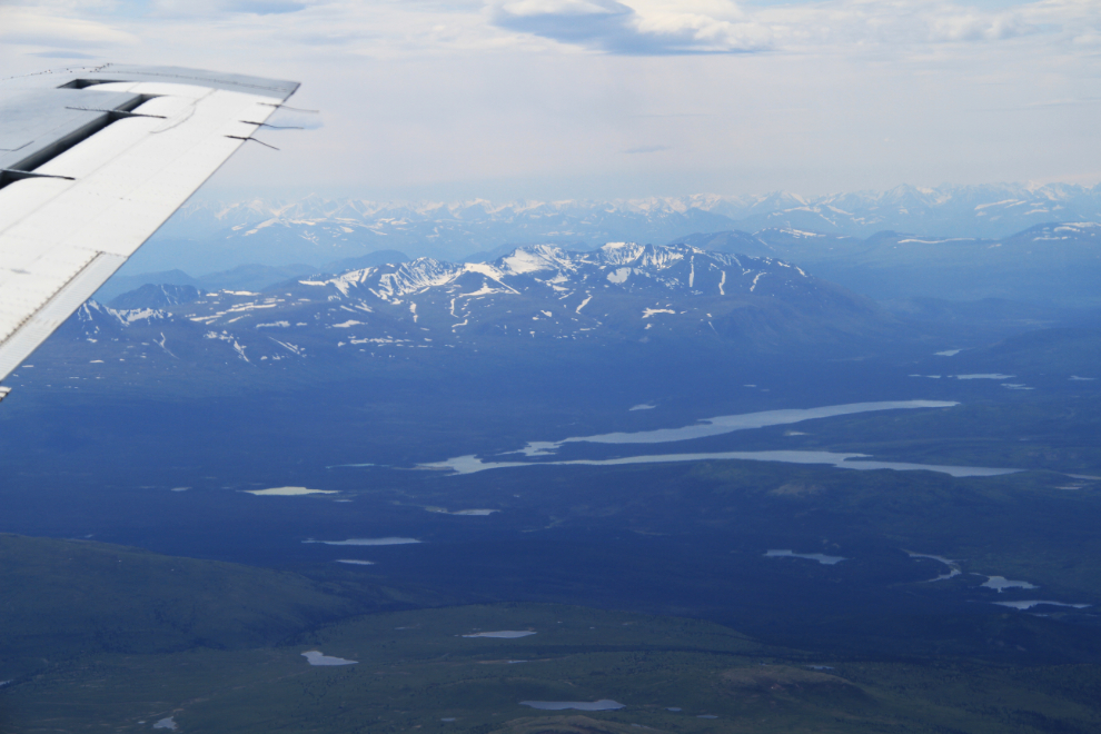
The nearest large lake to the west is Aishihik, with Sekulmun Lake behind it. The gravel/dirt Aishihik Road runs north from Historic Mile 995 on the Alaska Highway to and a bit beyond the head of Aishihik Lake.
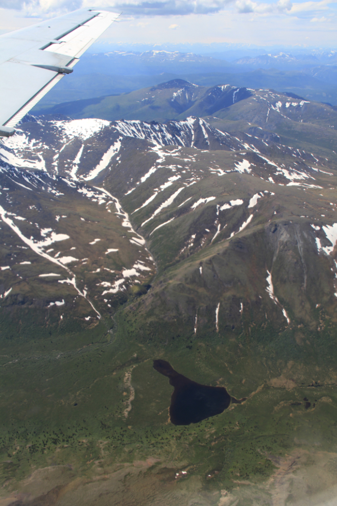
The Pilot Mountain complex, in the Miners Range west of the head of Lake Laberge. There is a significant population of Dall sheep on the mountain – about 150-175 animals.
Looking southwest across the Takhini River, with the Alaska Highway running along the far side of the valley.
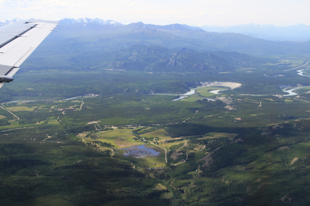
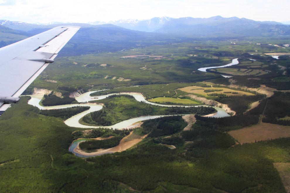
The Takhini River has some impressive bends – it might be quicker to portage across the narrows at one point than to canoe around the bends!
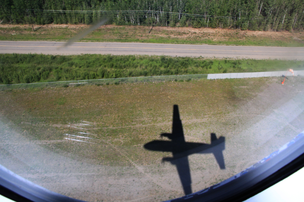
Low over Porter Creek, on final to land.
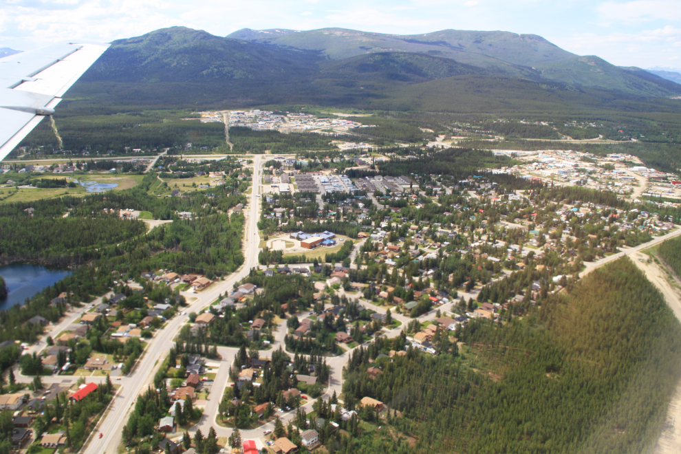
The Canada Games Centre is in the upper centre of the photo, the main Yukon post office in the lower centre.
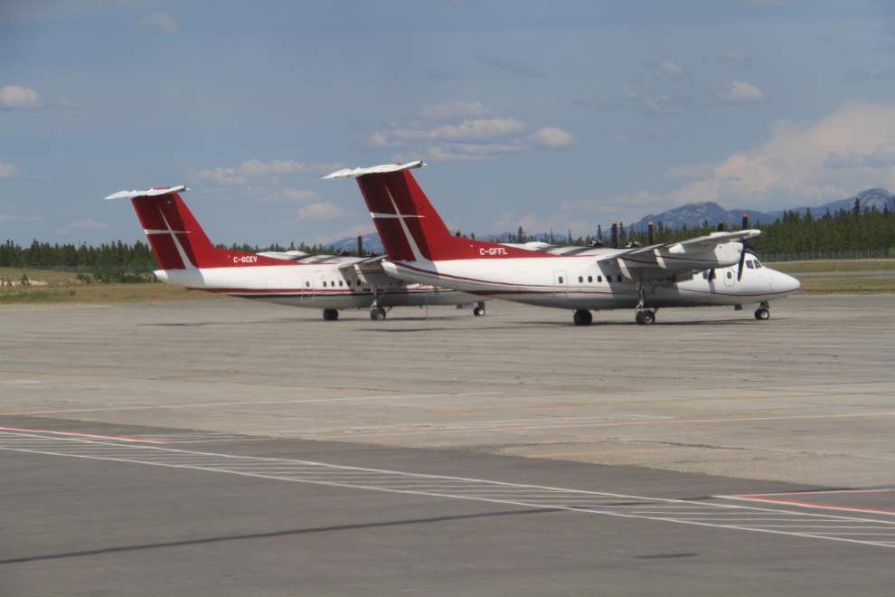
On the ground at Whitehorse at 2:30, beside a couple of Air Tindi de Havilland DHC-7-102 Dash 7s, C-GFFL and C-GCEV, in Whitehorse on a charter.
Well, that was quite an adventure in just 29 hours. Maybe not as much of an adventure as the Yukon River Quest paddlers had, but much easier to recover from 🙂