A fall colours weekend at Congdon Creek Campground
For our first “no-services” camping weekend with the RV, we chose Congdon Creek Campground on Kluane Lake, and it was perfect, with spectacular scenery and Fall colours.
I had the rig ready to go when Cathy got home from work Friday night, and stopping for dinner at the Otter Falls Truck Stop instead of cooking at home helped make the getaway quick and stress-free.
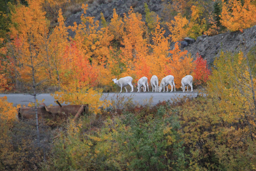
As we neared Sheep Mountain at 7:45 pm, I was disappointed to see no Dall sheep on the bare slopes. What a surprise a couple of minutes later to see about 40 of them right beside the highway! I included the bulldozer blade in this photo because it’s one of my favourite artifacts along the highway – it’s only been moved a few feet since it first shows up in a photo dated 1943. The barge dock that it sat beside was destroyed in the last highway re-routing, and I was afraid that it would be trashed then too.
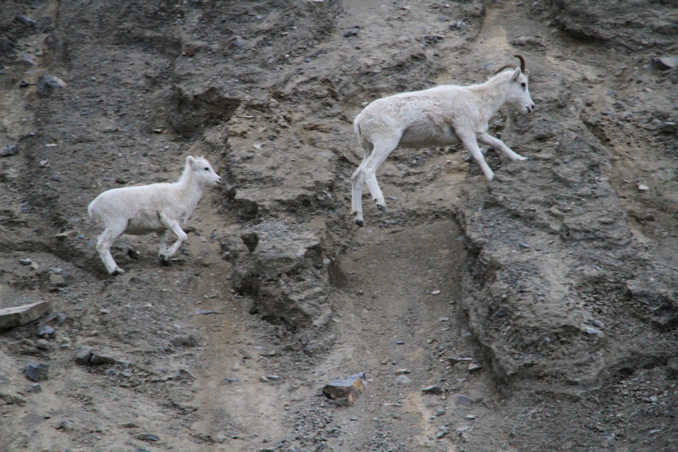
That’s a pretty tough trail for a baby! Some of the many lambs were still trying to nurse, but none of the ewes were cooperating.
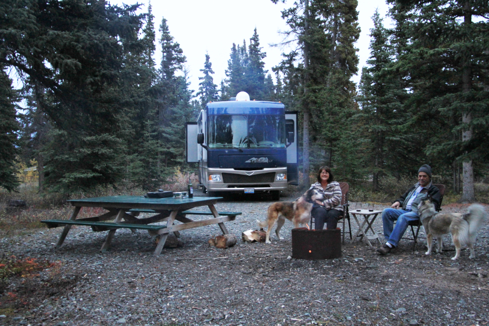
We reached Congdon Creek Campground (operated by the Yukon Government) a few minutes before 9:00 pm, a half-hour after sunset. All of the 8 waterfront sites were taken, but the 31 forested ones are very nice, too. We were soon set up in site #21 (a very large pull-through site), and had a cozy fire going. The $12 per night camping fee includes unlimited firewood.
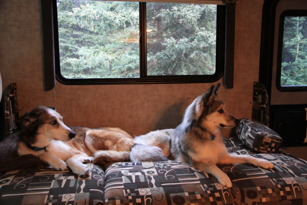
The bed is a bit too cozy for the 5 of us, so we made up the couch-bed for Monty and Bella, but no thanks, they liked our bed better. Oh well 🙂
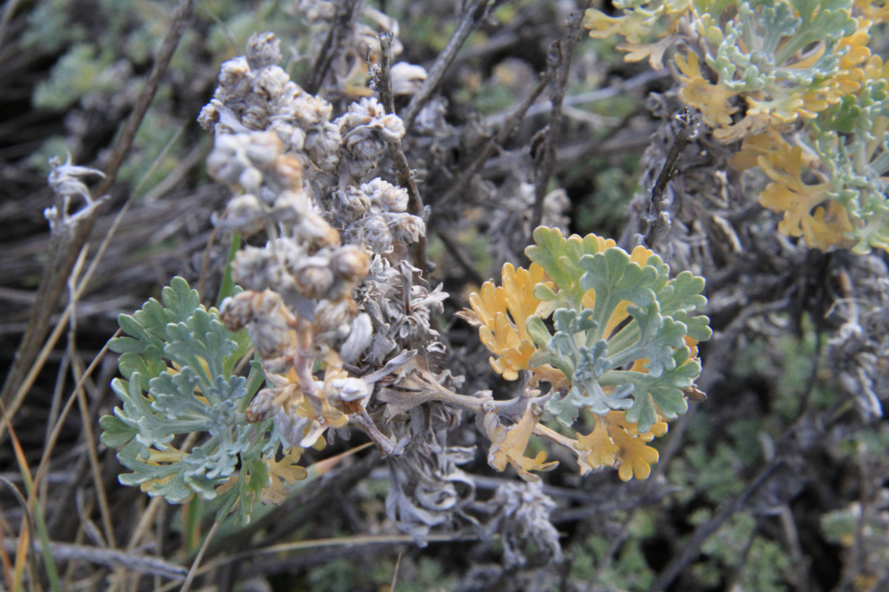
The weather forecast was for lots of sunshine for the weekend, but a stiff, cold wind was blowing a lot of cloud around Saturday morning. The first of several long walks was west along the beach – you can walk for miles in either direction. Right beside the campground, we found a large sage-scented meadow that the kids loved!
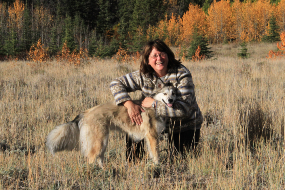
A gentle head-lock to slow the puppy down for a couple of seconds for a portait in the lovely light.
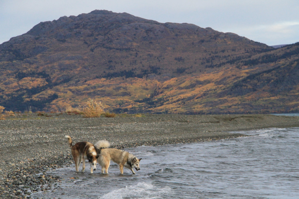
Phew – time for a drink in the crystal-clear glacial water.
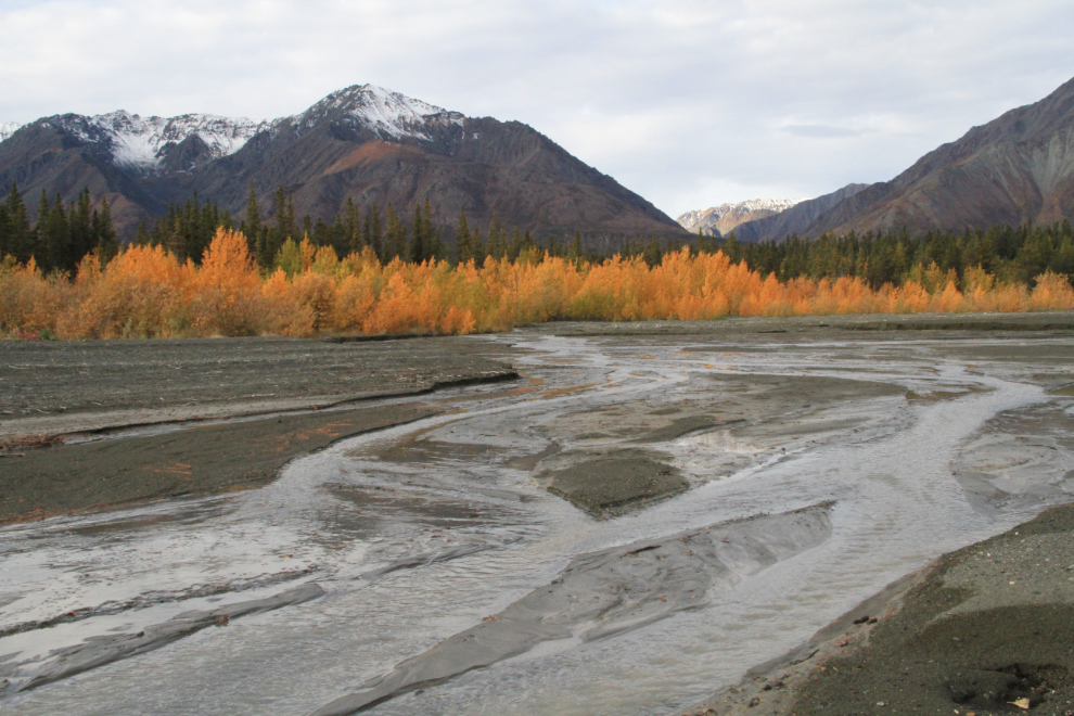
We walked up the beach as far as Congdon Creek, which has a broad bed for occasional torrential floods, one of which appeared to have occurred in very recent days.
Nothing warms my heart more than seeing a smile like that on old Monty’s face. Getting Bella has made a huge difference in his life, and getting out in the motorhome has added even more joy – at 12 years old, he’s still an Adventurer at heart.
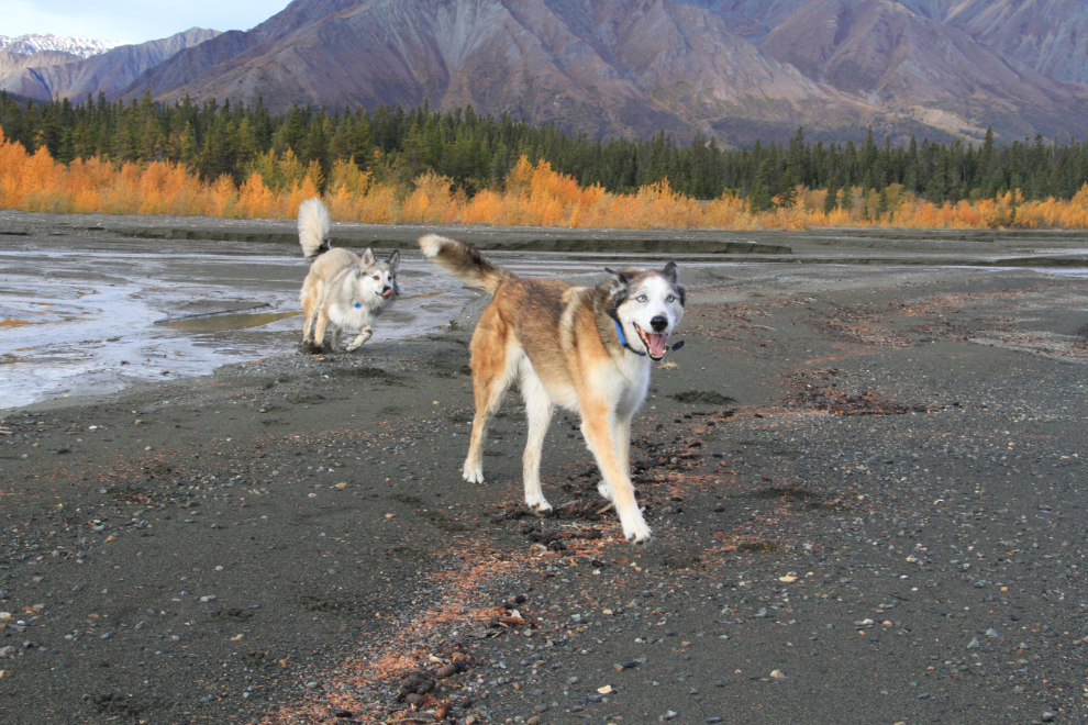
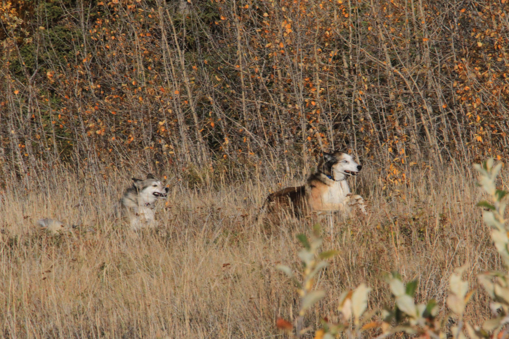
Bella is pretty much always smiling.
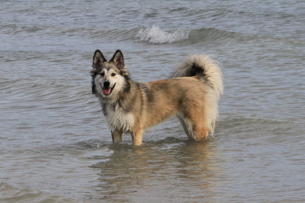
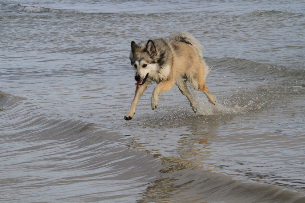
Whoohoo! She loves the water 🙂
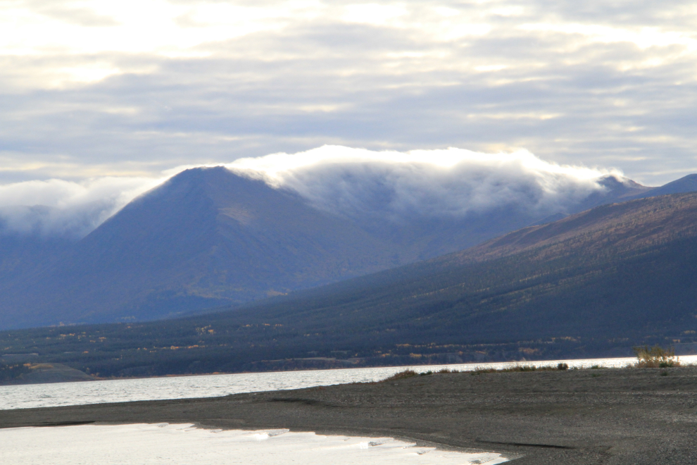
That ominous cloud bank sat in that spot for the entire weekend. Caused by the wet coastal air, it dissipates when it hits the dry Interior air.
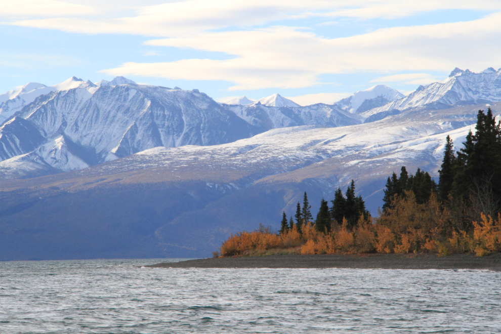
I love Kluane Lake! We knew that just having a weekend was going to be a bit frustrating, but we’re still testing a lot of things with the motorhome (both equipment and ideas), and it was well suited to that.
Some of the Fall colours are quite subtle, but I really liked the pastels at my feet in the meadow.
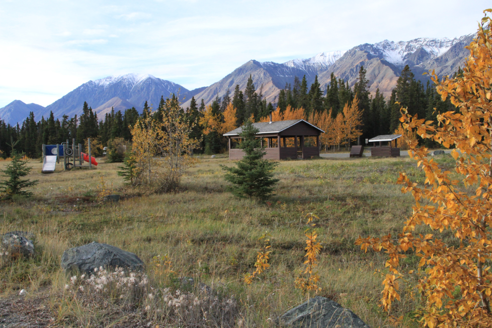
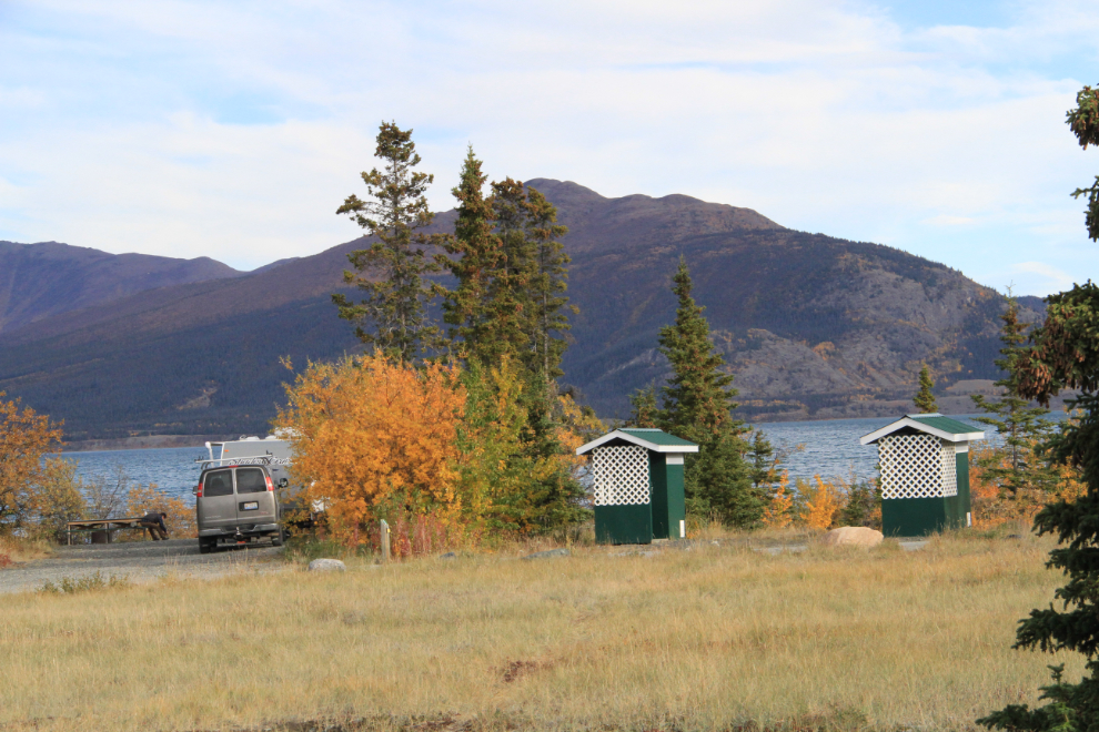
Congdon Creek really is a lovely park, and gets consistently very positive reviews at sites such as CampgroundReviews.com. This large field is between the waterfront and forested sites, and is home to the children’s playground, picnic shelter and firewood shed seen in this photo.
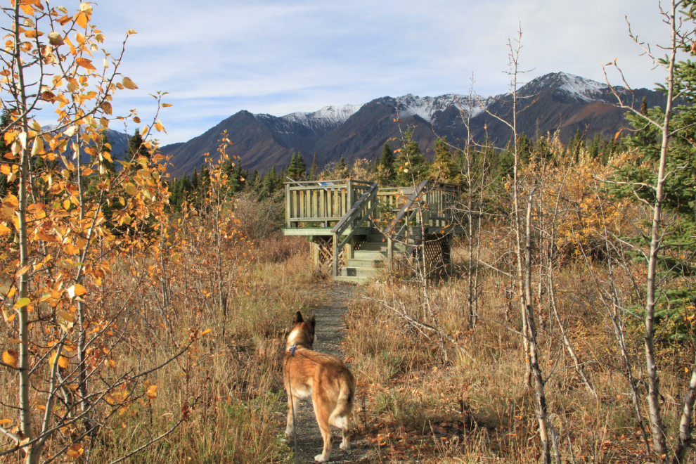
While on a wander around the park, I found a wonderful interpretive trail that goes 500 meters to a raised viewing deck. I didn’t understand why there are no signs pointing it out – you really do have to just luck into it.
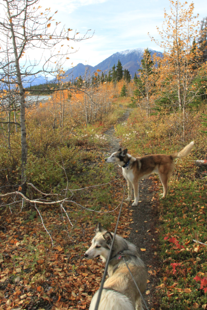
The viewing deck at the end of the trail. A more faint trail appeared to offer a loop, but we didn’t follow it this time.
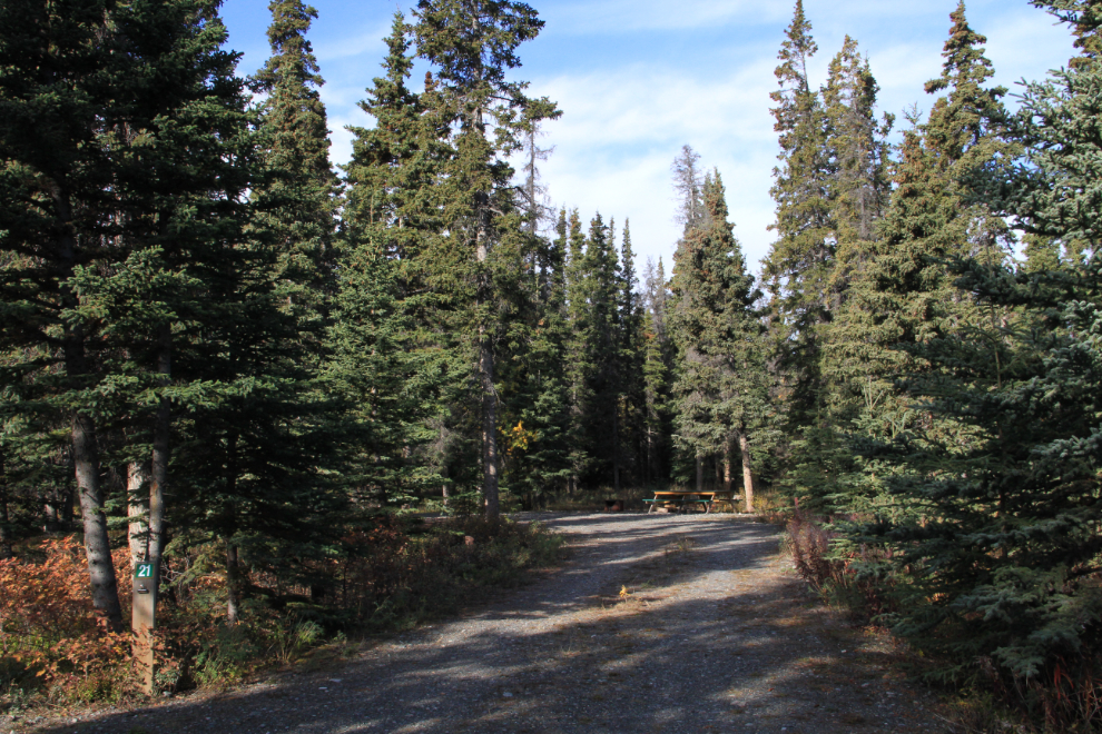
As the noon checkout deadline approached on Saturday, several waterfont sites opened up, so we moved down to #8, the furthest-west one. This is what #21 looked like after we left.
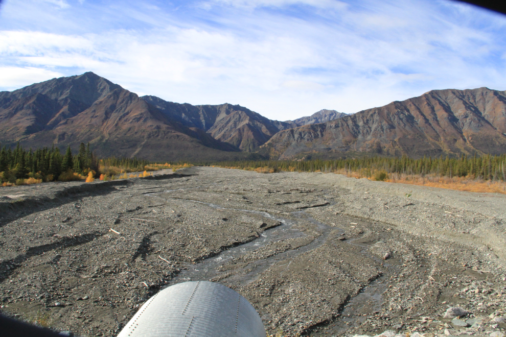
Having forgotten some grocery items, we set up our chairs on the site and then drove the 16 km (10 miles) to Destruction Bay to stock up. This is Bock’s Creek about halfway along – I really like the dynamic nature of these creeks, always changing.
Settled in the new site, with the beach 30 meters (100 feet) to the left. While the other waterfront sites are all back-in, this particular site is easy to drive into forward so we had the lake view out the front windows.
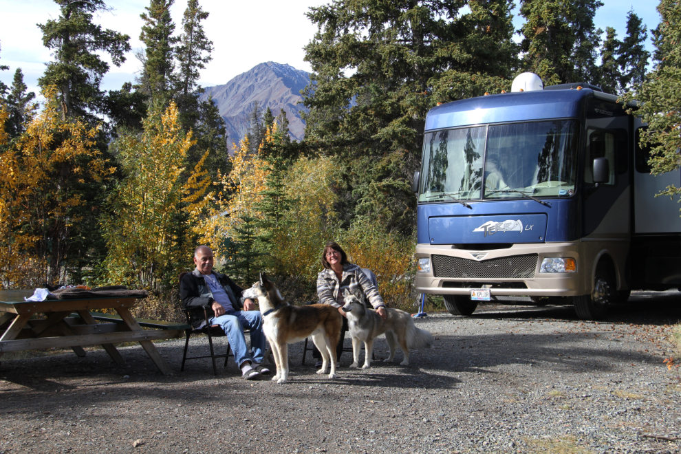
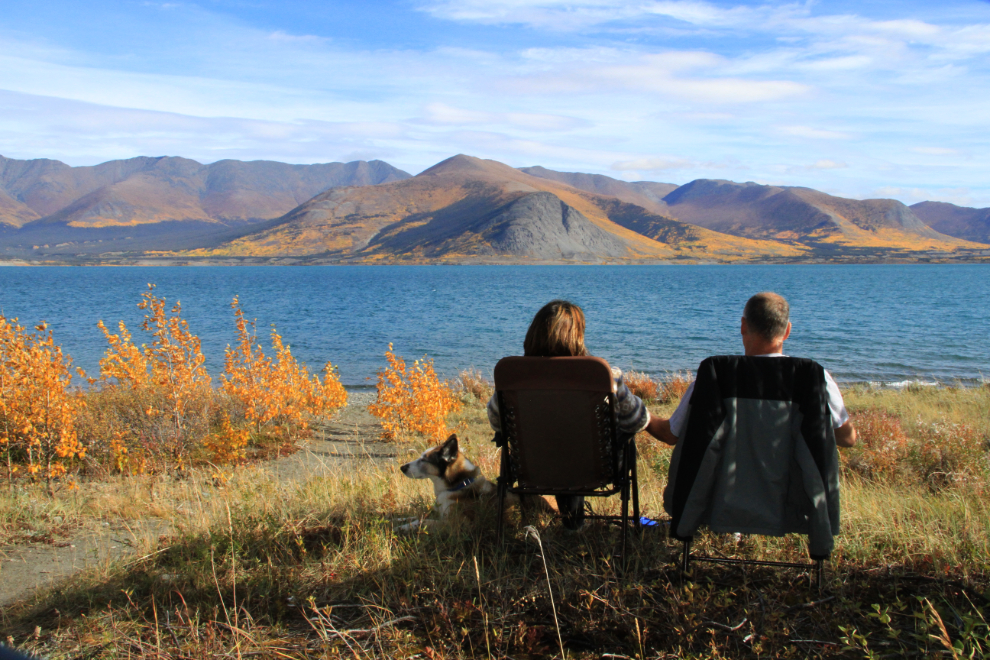
This photo may best summarize the point of our new lifestyle. Slow down, smell the roses, and enjoy quiet time with the family. Some 20 years ago, I used to camp along Kluane Lake occasionally and came to love it, but Cathy has never spent quality time here before.
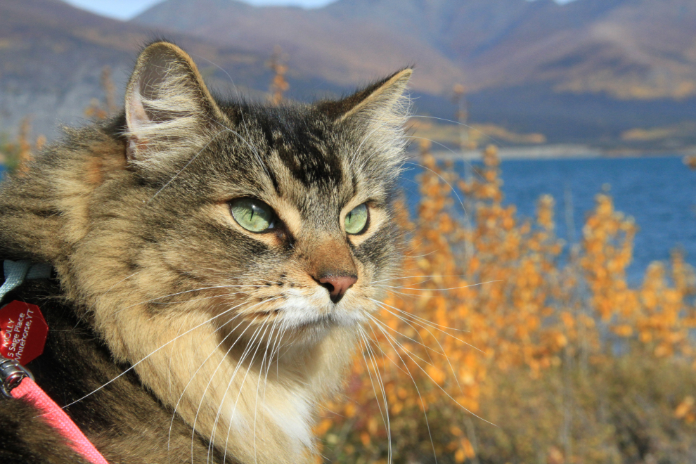
Molly loves her new life 🙂
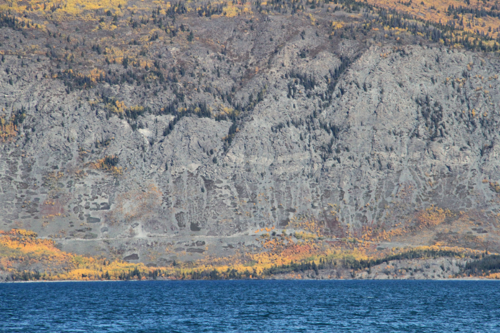
Near the base of the cliffs across the lake, a road can be seen. It’s been tantalizing me for 25 years now, and next year, we’re going to go and find it with the Tracker! I’ve heard that it goes some 40 km (25 miles), to a mine site, I think.
Saturday evening, I took the kids for a long exploratory walk, starting along the beach to the west again. I decided to hike up Congdon Creek.
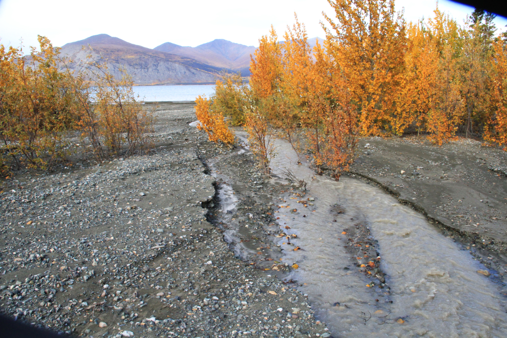
What I found was quite interesting. The creek is now flowing through a forest that hasn’t been the creek’s route for many, many years. This is where the creek now veers away from its usual bed into the forest. This change appears to have just happened in the past few days.
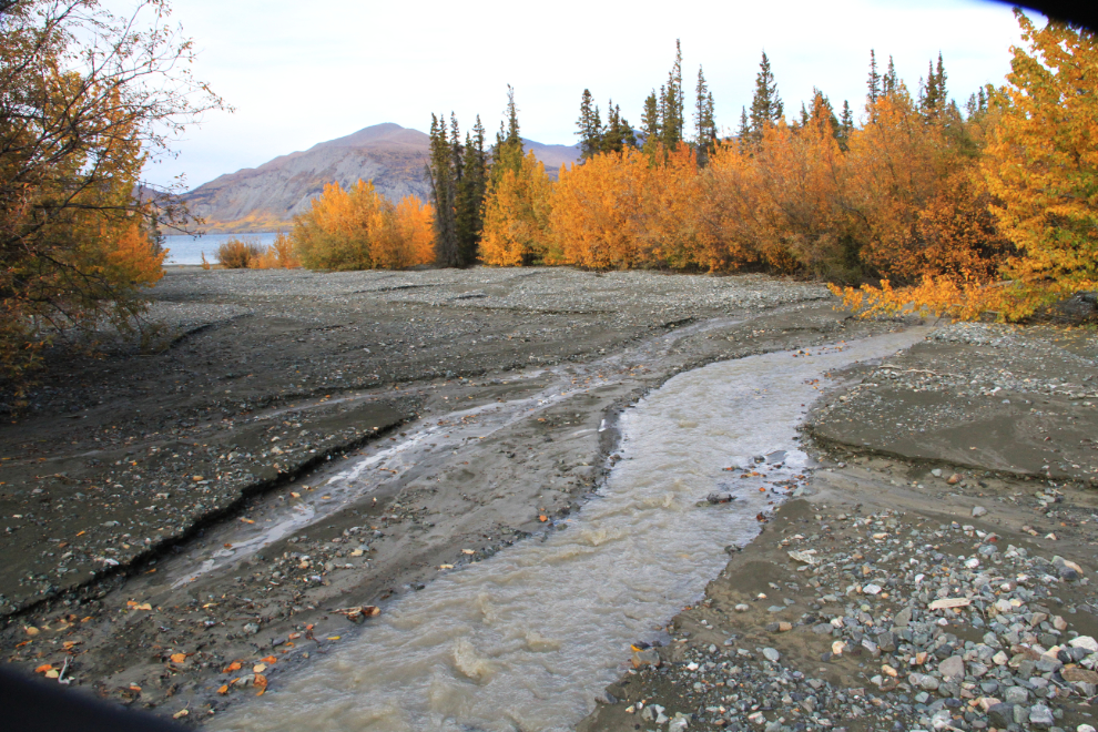
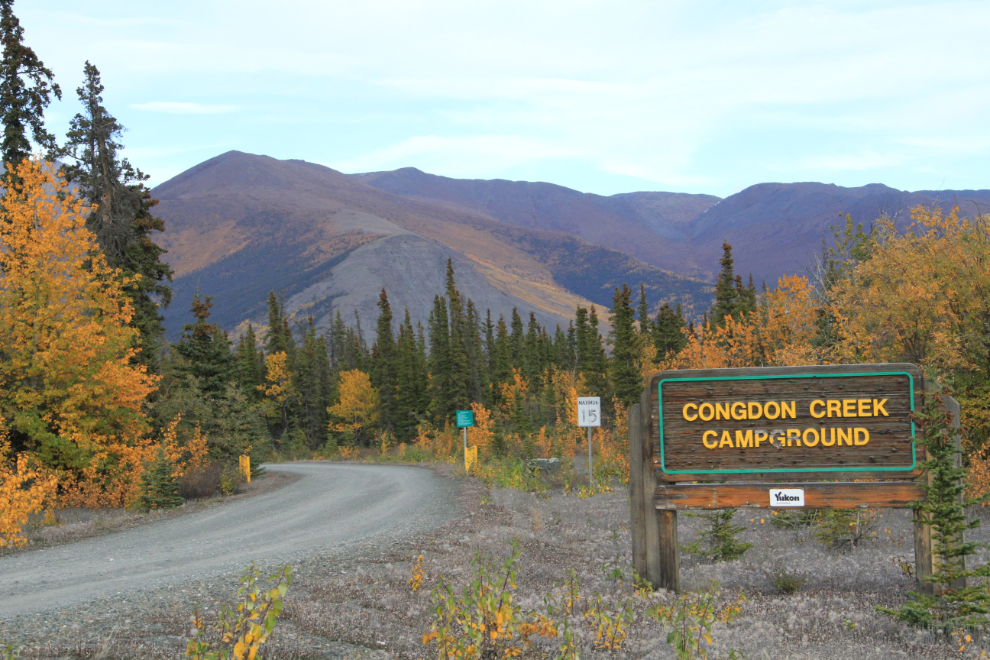
Walking up the creek until we reached the Alaska Highway, we then walked a few hundred meters (yards) to the campground entrance.
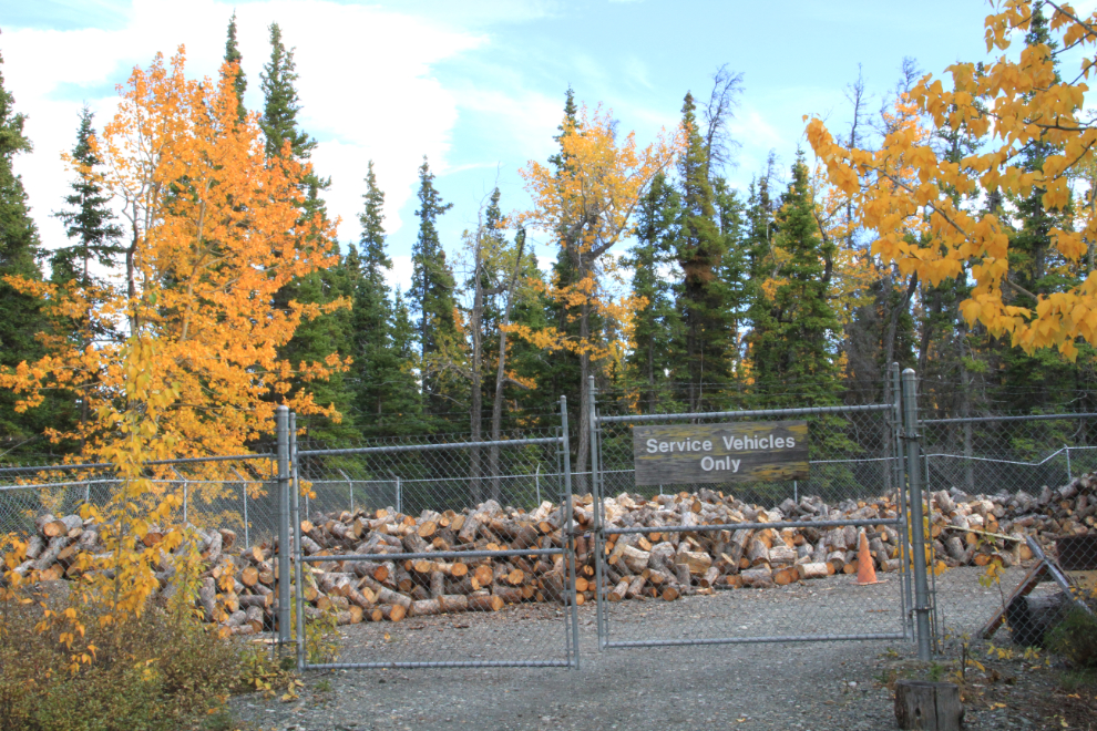
The campground’s service yard has an enormous amount of firewood still in stock. The amount of beetle-killed spruce forest just to the east a few miles is quite incredible, so there’s no shortage of it available.
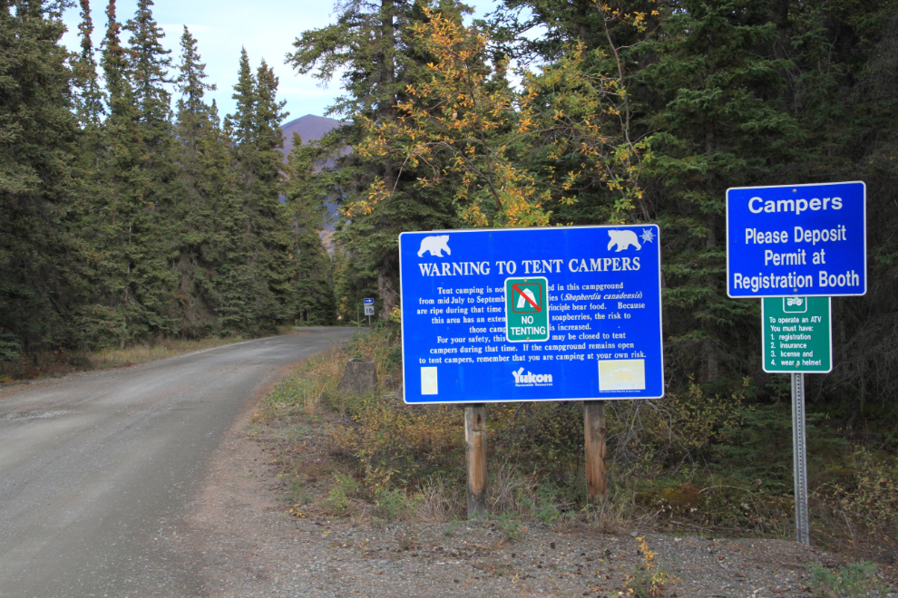
Due to bear problems, the campground was recently greatly reduced in size (every camping Web site states that it has 81 sites, but there are only 39), and tenting is no longer allowed.
The best campsite may be double site #2/3, seen here. It might have been large enough for 2 tents, but there’s certainly not enough space for 2 RVs.
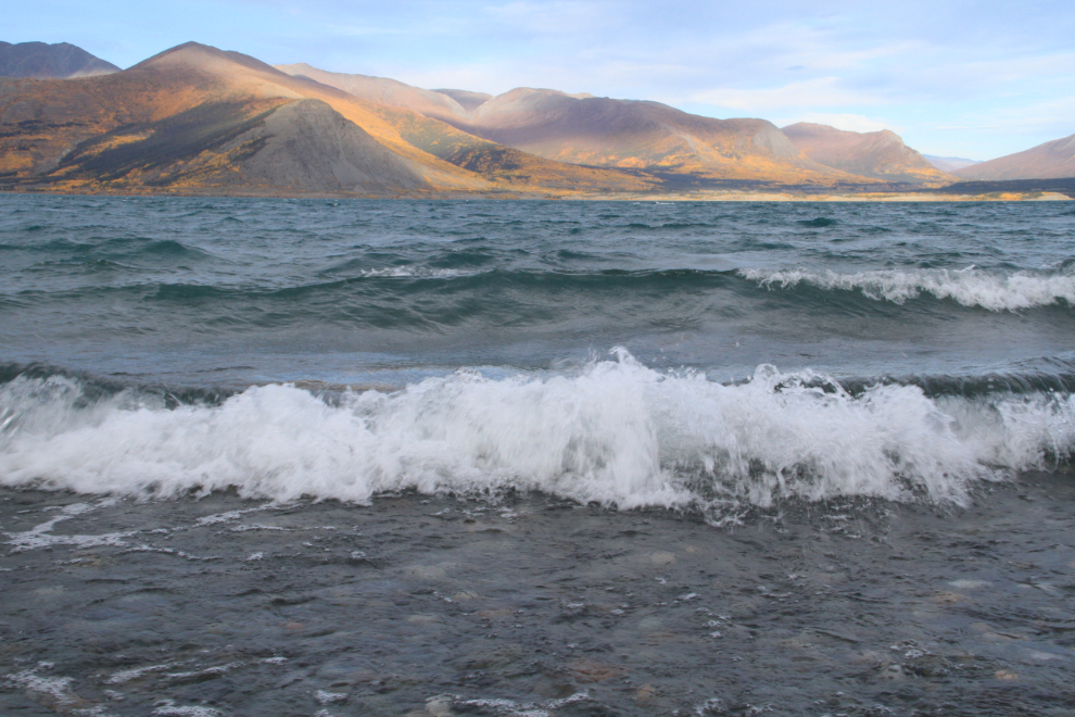
Saturday afternoon, the wind got much stronger, and stayed that way through most of the night.
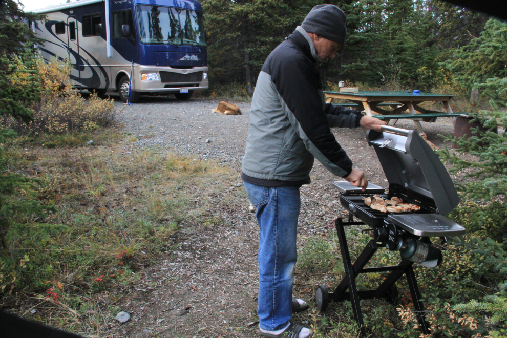
I found a spot shielded from the wind, and fired up the new Cuisinart portable barbecue to grill some pork chops for dinner. It gets great reviews, and I concur.
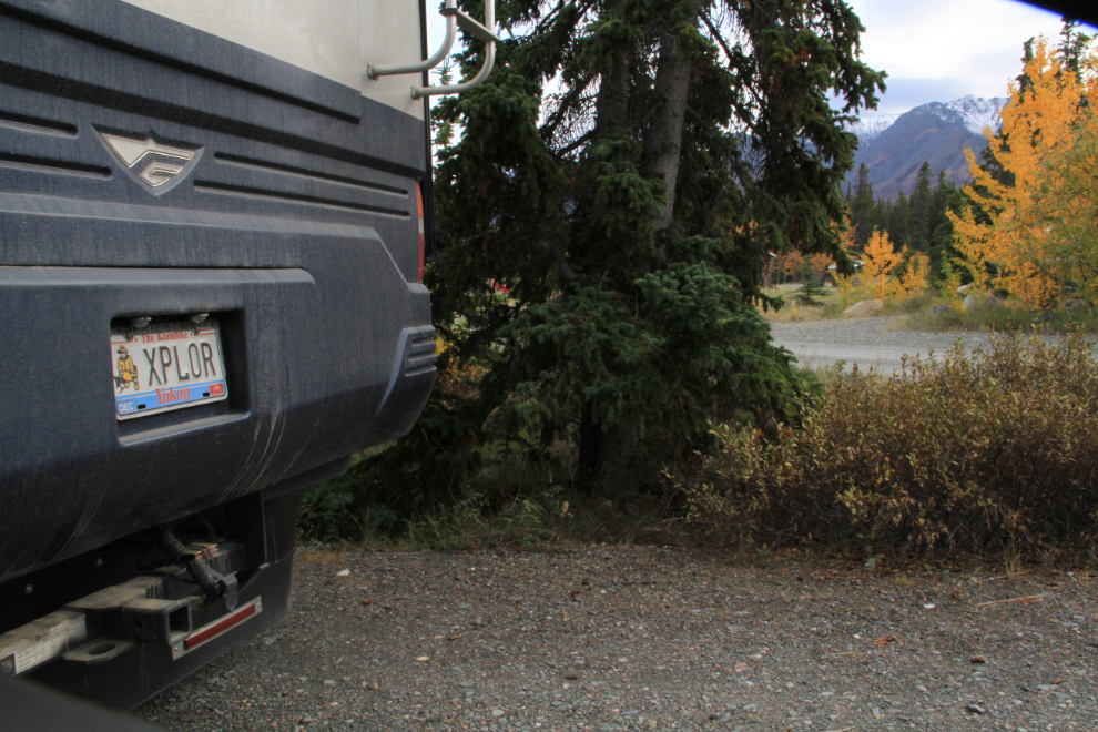
This license plate looked good on the Subaru, but it’s even better on the motorhome 🙂
Time for dessert, and for Cathy to show me the fine art of cooking her favourite camp dessert, pies! It’s very simple with a pie iron. Put the bread in the iron, add your favourite sweet pie filling, close the pie iron and stick it in the campfire…
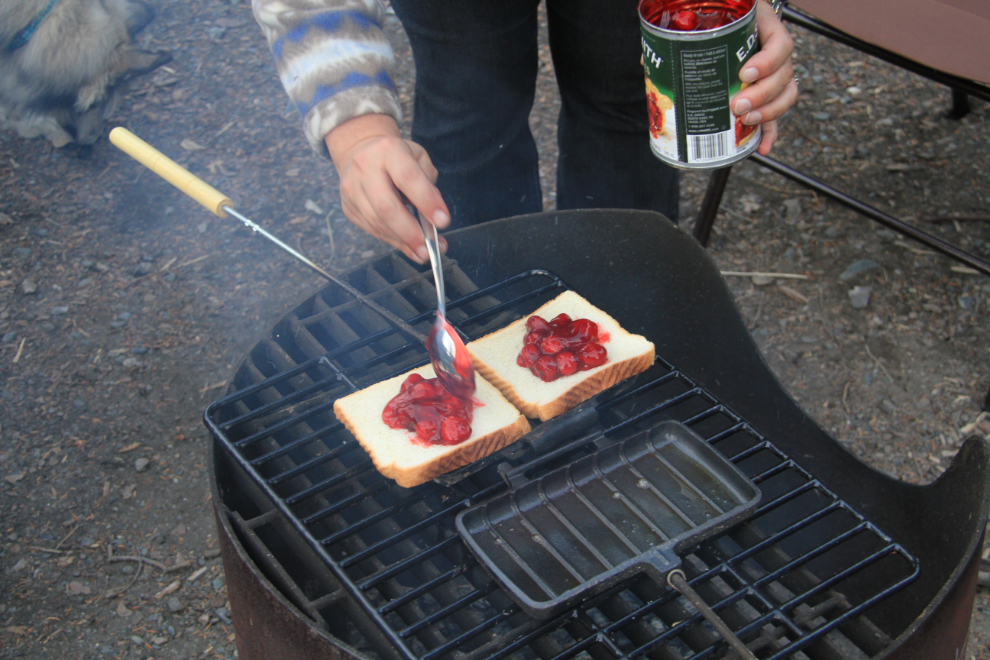
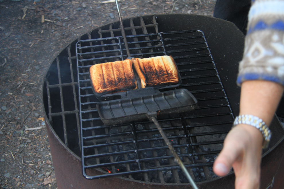
… and about 3 minutes later, yuuum! The iron wasn’t level in the fire, so it didn’t cook quite evenly, but hey, we were roughing it 🙂
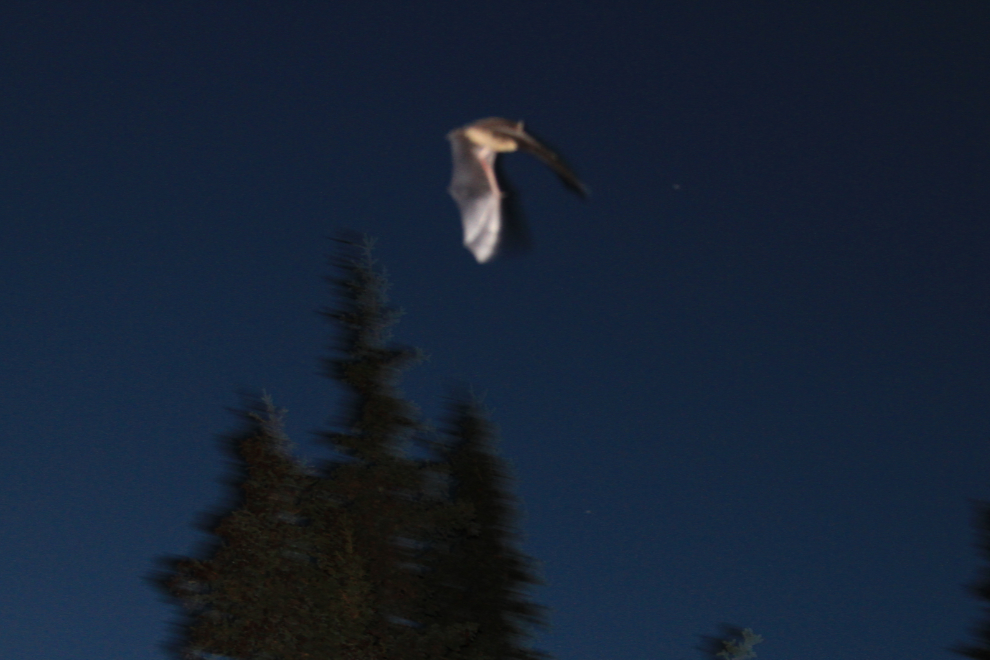
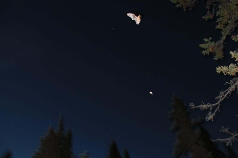
As darkness closed in, what I at first thought was a swallow arrived to dine on the tiny flies that had been bugging us. I soon realized that it was a Little Brown Bat (Myotis lucifugus). Its speed and size made getting a good photo all but impossible, but I gave it a few tries. He stayed around our camp for almost half an hour – I’d never seen a bat before, so was very pleased to see him. With winter fast approaching, he’ll be migrating to the coast any day now.
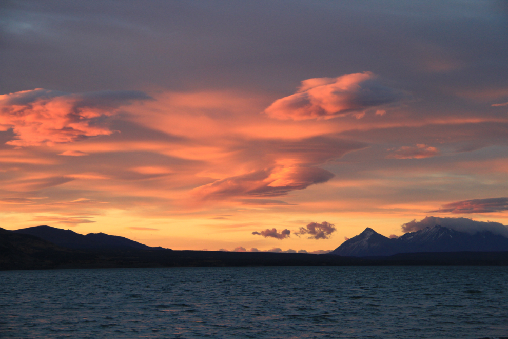
Sunrise on sunrise was simply superb – this was shot at 07:30, a couple of minutes after the orange glow had woke me up. I had slept on the couch bed in anticipation of being able to shoot the Northern Lights (the aurora forecast was for a high level of activity), but it was cloudy for most of the night, and the one time I saw starts, there was no aurora.
Early morning in the campground. There are so many comments one could make about this shot 🙂
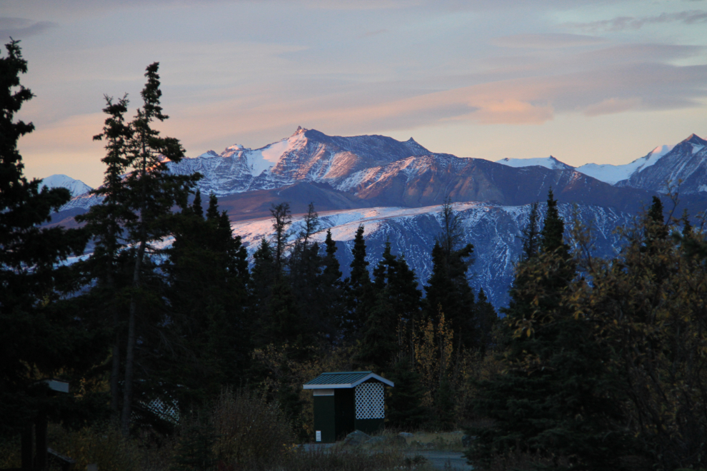
Another long, brisk walk with the kids before breakfast.
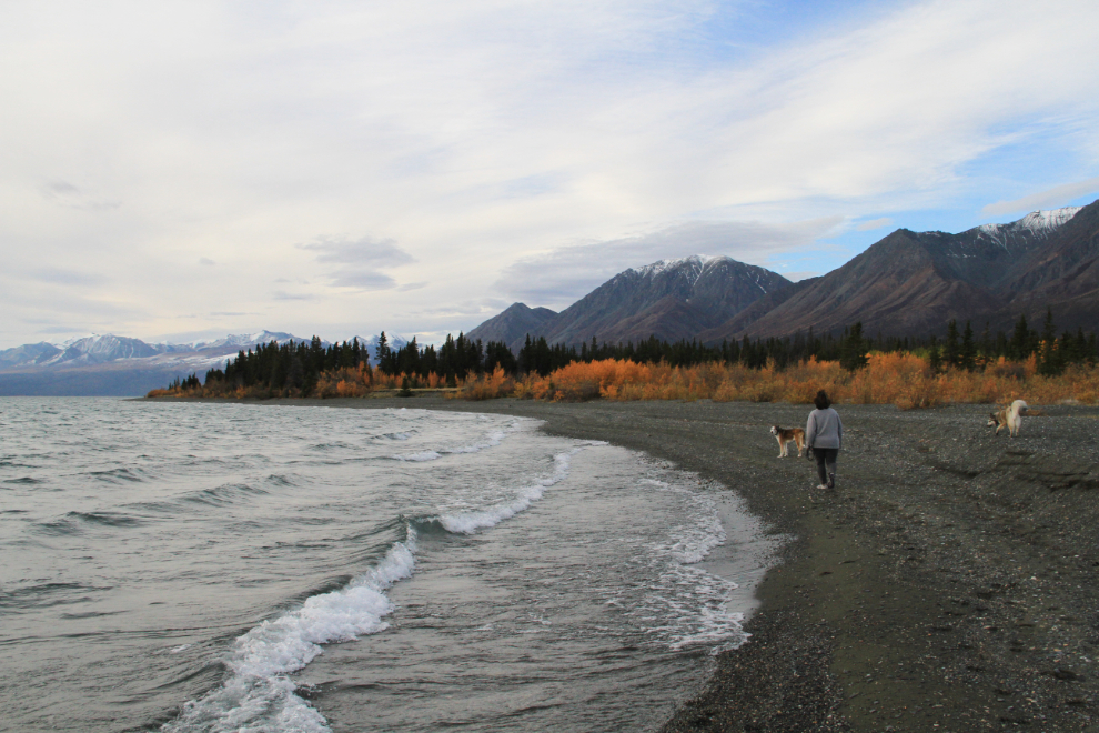
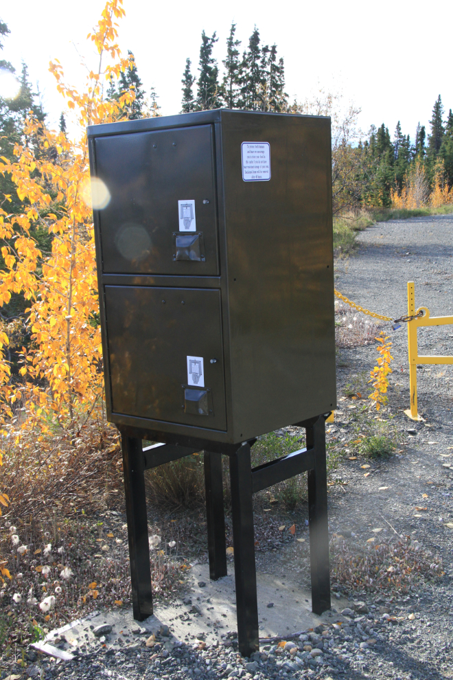
We walked the interpretive trail again, and took the loop. It was then that we realized how large the campground used to be. I’m extremely pleased to see the response of the Parks department to bear problems – you don’t get rid of the bears, you completely close/abandon the part of the park (with 42 camp sites) where the bears were finding an important food source, particularly in the Fall. This bear-proof storage locker dates from the time when tenting was allowed.
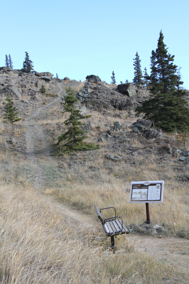
We left the campground at 11:30, intending to go for a hike at Soldiers Summit and get home in time to relax before getting our heads into the busy week ahead. At 12:10, we started up the Soldiers Summit trail. Ahead in this photo is the original Alaska Highway tote road – the trail, which is the original highway, is nowhere near as steep. You can see many more photos of the trail here.
At this point, the Alaska Highway was officially opened on November 20, 1942.
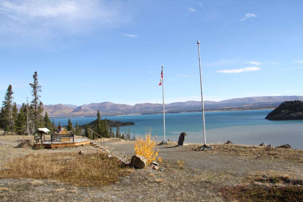
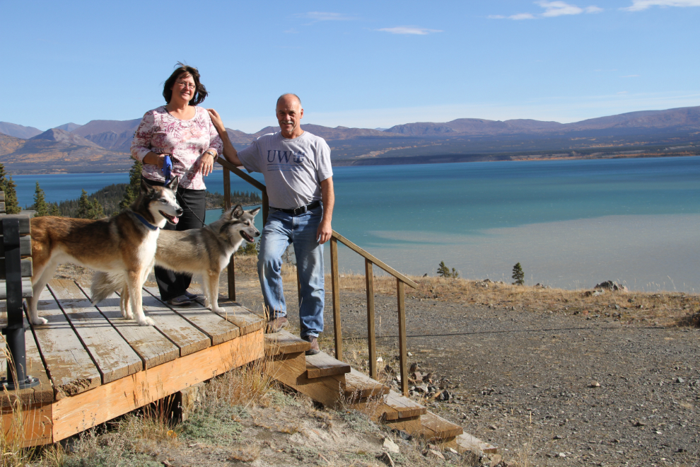
Although the wind was still very strong, it was at least too warm to wear a jacket on the trail.
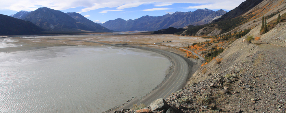
My favourite part of the trail is past the dedication spot where most people turn around. While the views from anywhere along the trail are wonderful, just 5 more minutes of walking gets you this spectacular view to Parks Canada’s Tachäl Dhäl (Sheep Mountain) Visitor Centre and up the Slims River. This panorama was created by stitching 2 photos shot at 18mm.
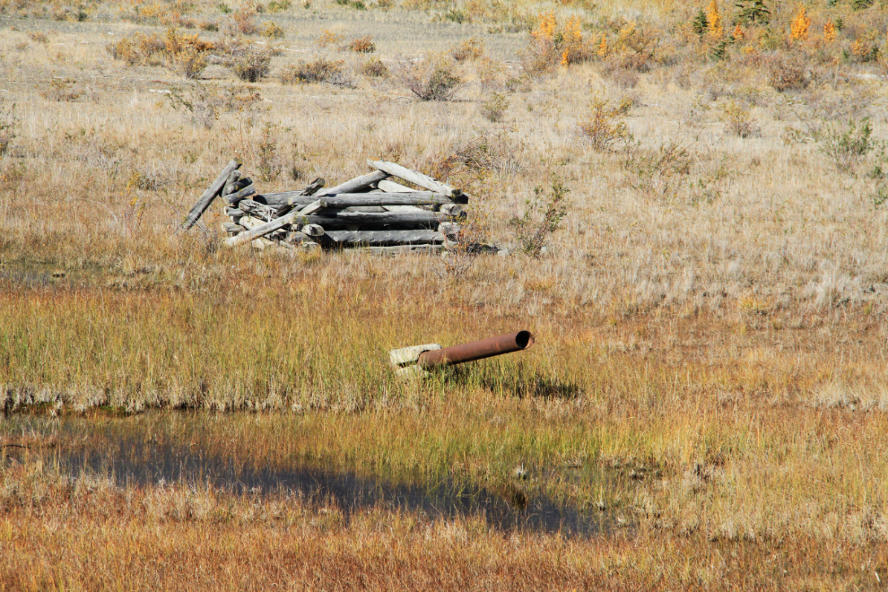
Another pair of my favourite artifacts, the foundation for one of the poles from the CanTel telephone system that was installed along the highway, and a section of the Canol pipeline
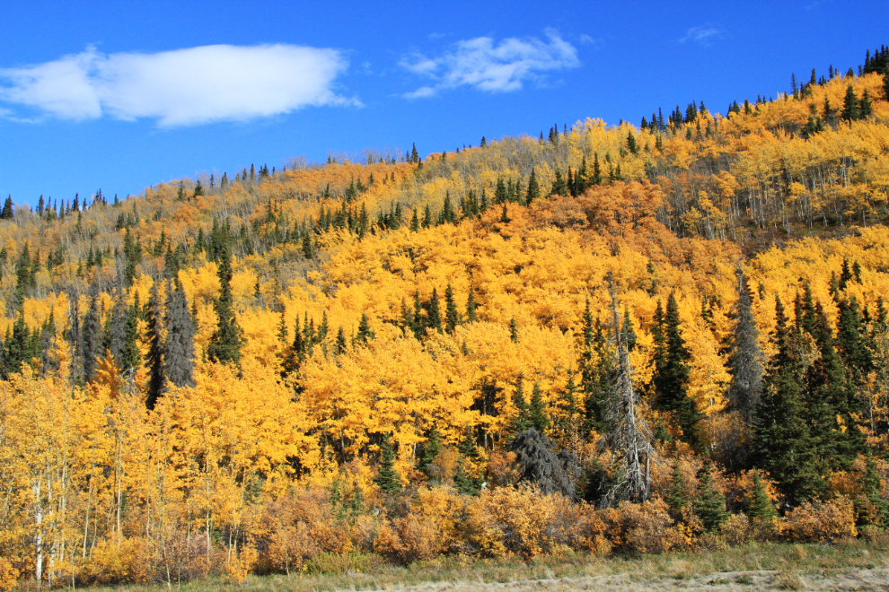
There were so many spots that I wanted to stop and shoot Fall colours, but I only made a couple of stops, this one at Christmas Creek.
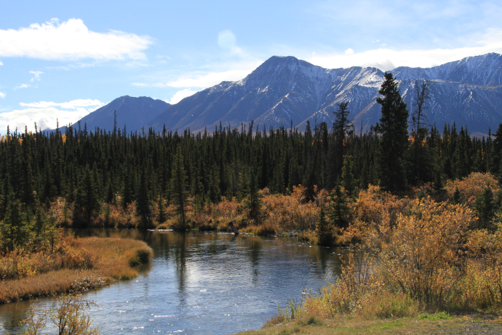
The Jarvis River is a spot that I often stop at – the photo ops here are often very good.
We decided to have an early dinner in Haines Junction at Frosty’s, always guaranteed to serve up a great burger. That made our arrival home very relaxed – 15 minutes to clear most of our stuff out of the motorhome and then just chill. The only one who wasn’t relaxed was Molly – she made it very clear that she wasn’t ready to be back in the house!
Now, we have a very busy week getting ready for what is intended to be our last cruise for many years. Next Sunday, we fly to Vancouver to start that trip…