Fall colours, bridges, and wildfire along the South Klondike Highway
On Wednesday I drove to Skagway and Dyea again. The Fall colours are a bit of a disappointment this year, but the South Klondike Highway is always a stunningly beautiful drive in any season.
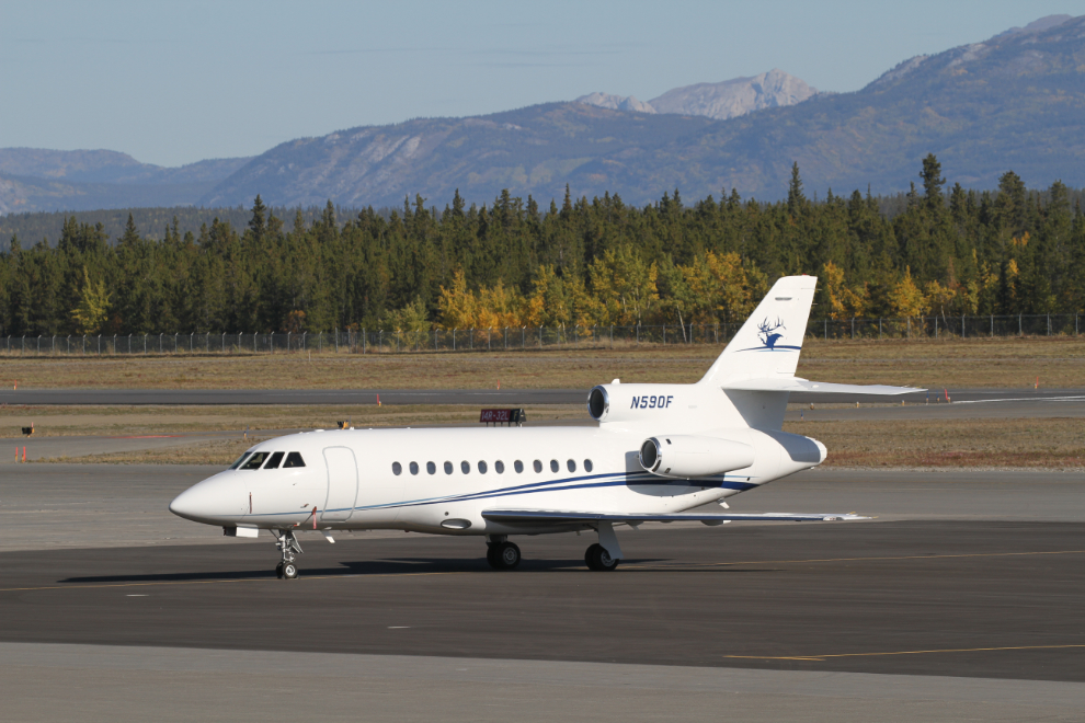
One of the definitive signs of Fall in the Yukon is the arrival of corporate jets carrying rich big-game hunters. When I went into Whitehorse to fuel up, there were 3 of the little jets on the ramp, including this 1992 Dassault-Breguet Mystere Falcon 900. Owned by a charter company in Connecticut, it can carry up to 12 people, at a charter rate of about $5,500 US per hour. If you’d rather have your own Falcon 900, $42 million US can make that happen 🙂
My drive started off very well with a grizzly grazing right beside the highway at Kookatsoon Lake. That would be about a 1-hour walk to my house for him. I didn’t take any photos because of the number of cars stopped to watch.
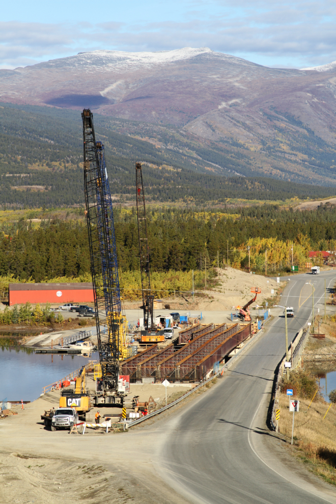
The new bridge at Carcross is coming along nicely The arrival of the main steel beams a few days ago caused quite a stir along the highway. They’re each 143 feet long, and were trucked up from Vernon, BC! The back 5 axles of the trailer have their own driver to make corners possible.
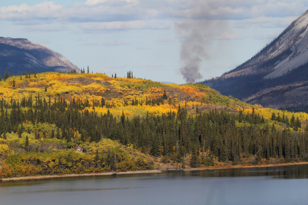
I was surprised to see that the Windy Arm wildfire is still burning in many places, despite below-freezing nights.
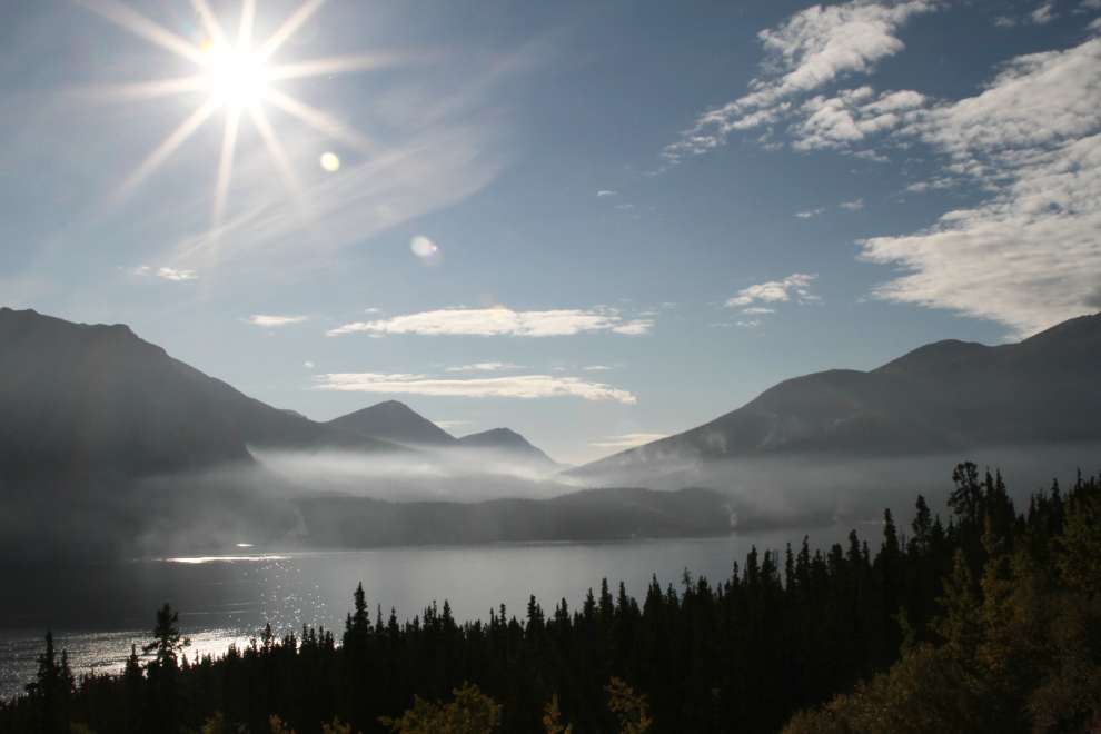
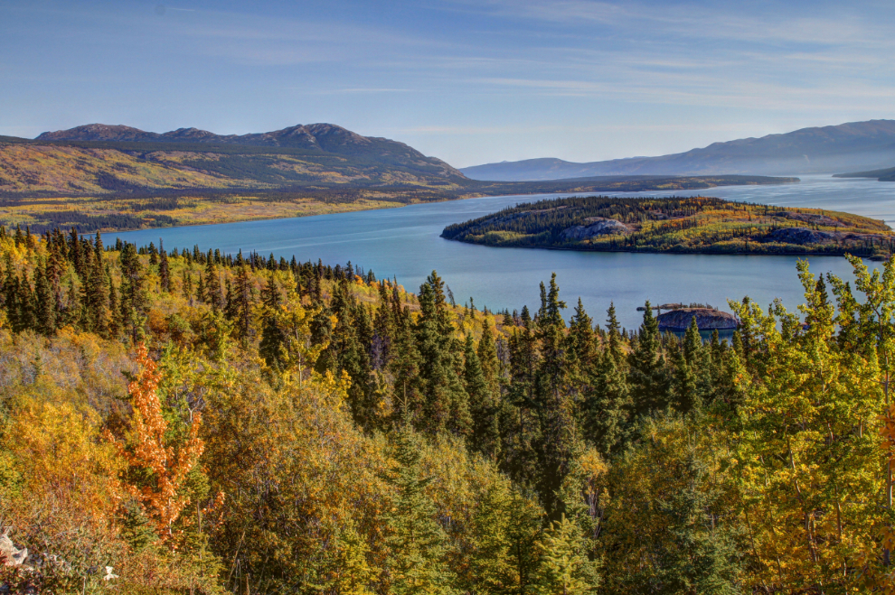
Just swinging the camera to the left gives a very different impression of that scene at Bove Island.
The next photo shows the changing seasons – looking up Montana Mountain to Fall and Winter from Conrad.
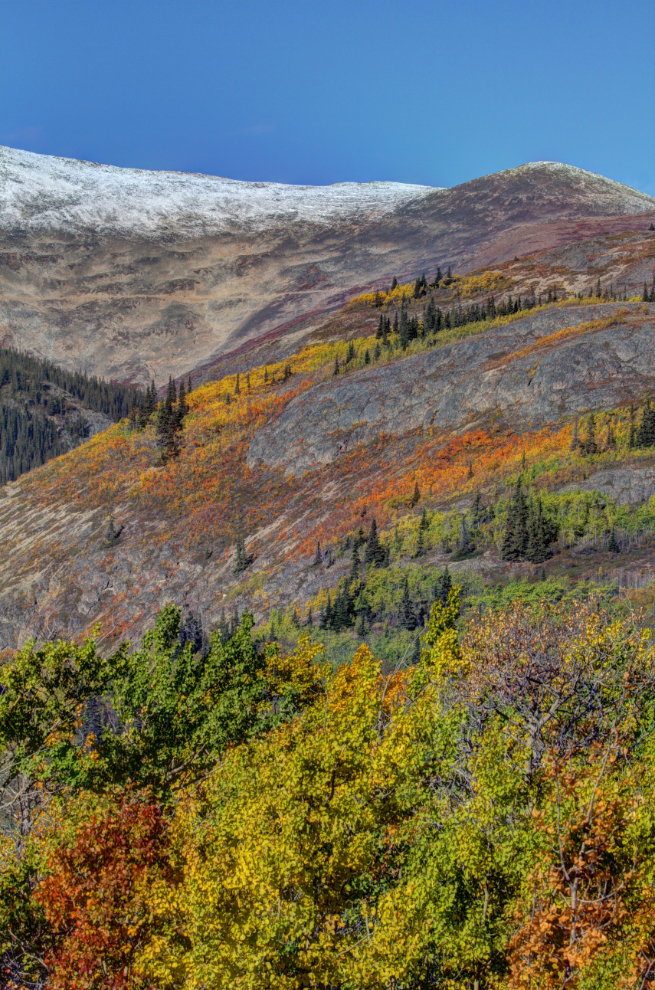
After 112 years, most of the towers for an aerial tramway that ran from a dock at Conrad to the Mountain Hero silver mine are still standing.
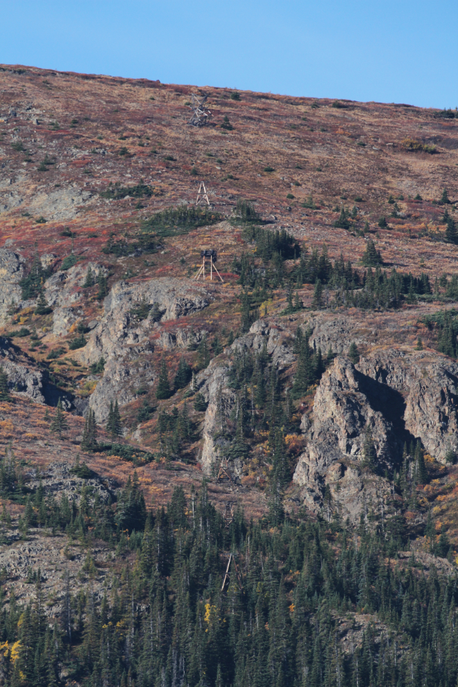
Just above the highway a few kilometers further south are some of the towers from the Vault silver mine, also from 1906.
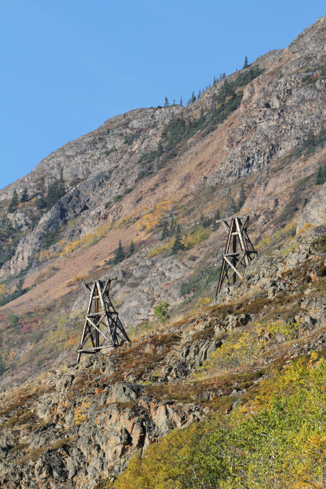
I made my usual stop at Tutshi Lake to walk Bella and Tucker. There were a couple of tour buses at the parking area, so as I had Cathy’s Jeep, I drove down the beach to a quiet bay.
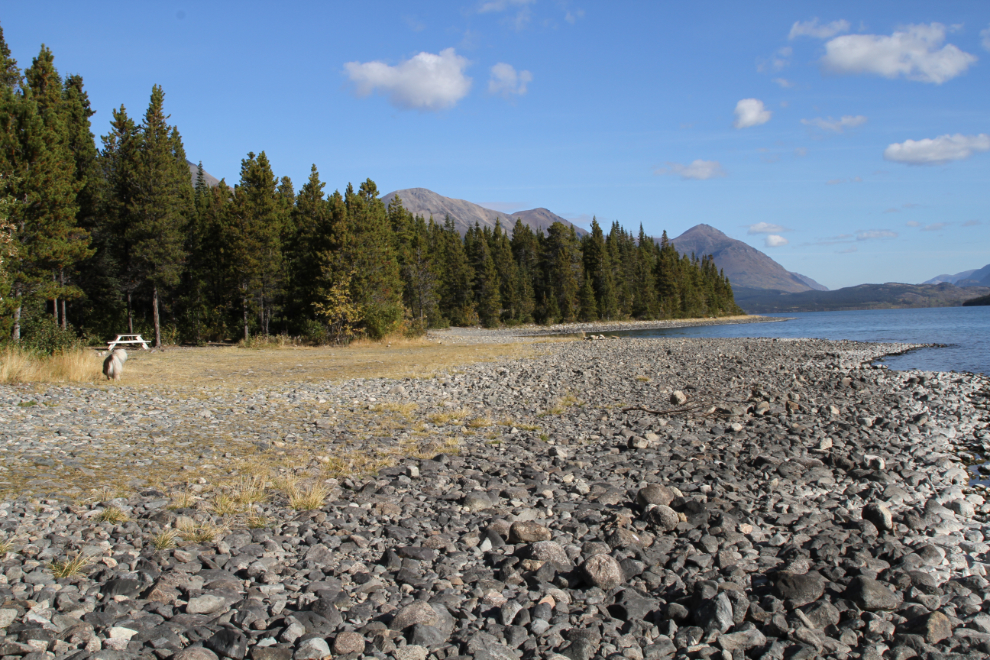
This small un-named lake at Km 45.9 sometimes provides good photo ops, and sometimes a bear. This used to be grizzly country, but in the past decade or so, the grizzlies have left and cinnamon bears (brown-coloured black bears) have taken the territory.
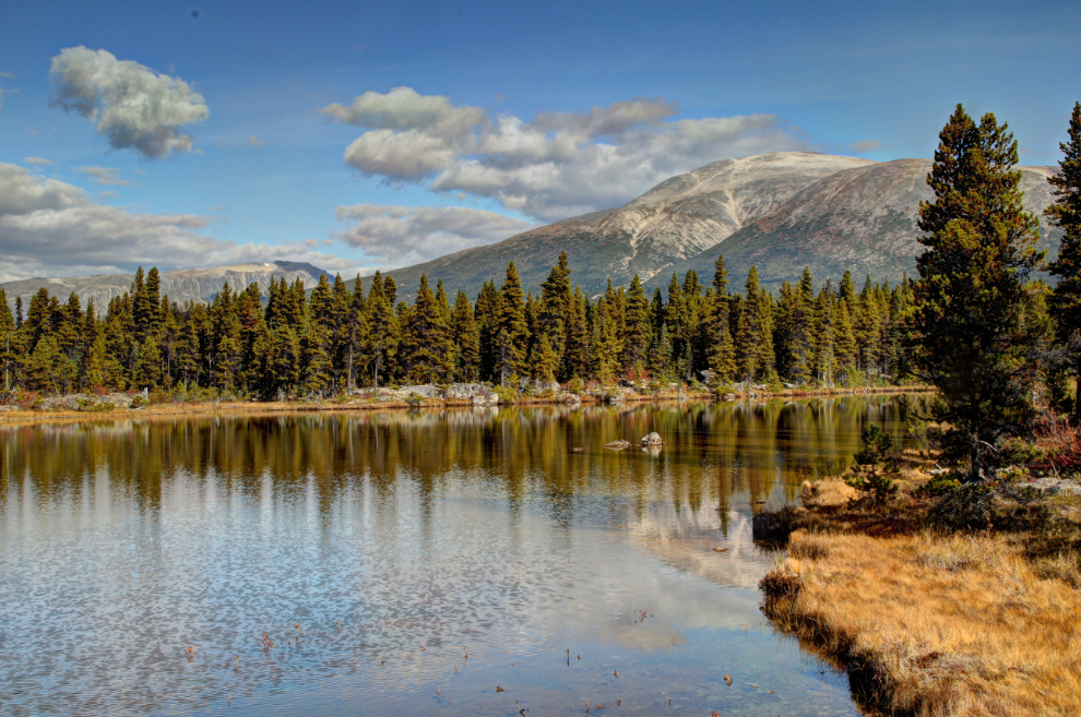
This spot along Shallow Lake often stops me. I should try to remember to check the WP&YR schedules – it would be great to have a train rounding that curve at Ptarmigan Point. A few years ago, I shot a video of a rotary snow plow working its way down the line at that point, and it has over 76,000 views now.
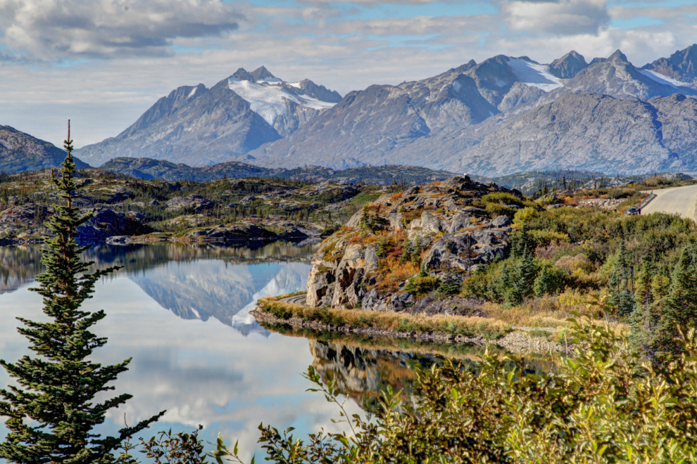
Nearing the White Pass summit at about Km 30 – Summit Lake is on the left.
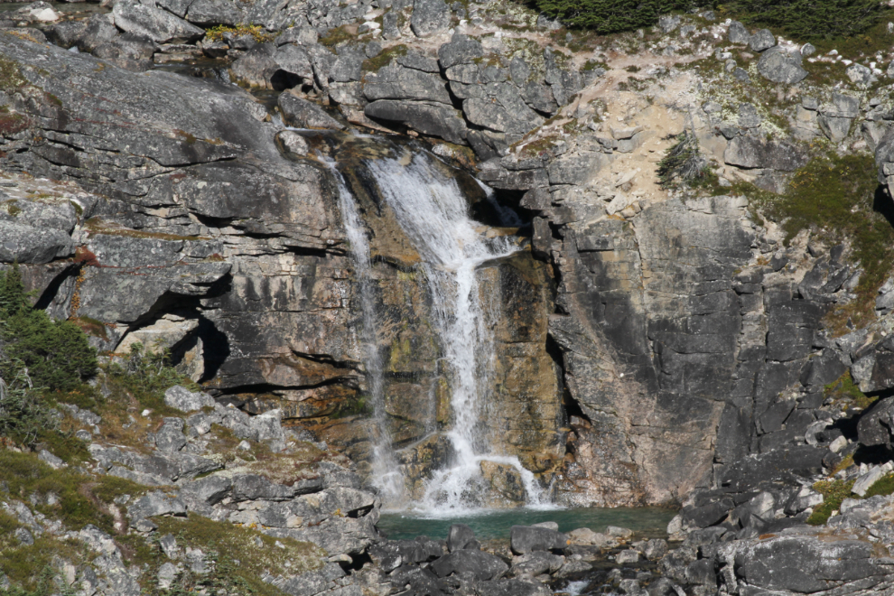
With the high country now mostly frozen, waterfalls are drying up – even this fairly large one at the start of the International Falls hiking trail.
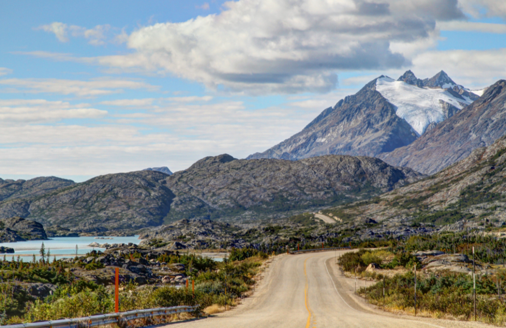
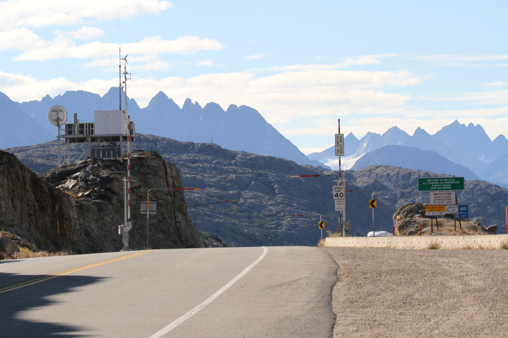
Looking south from the Canada/USA border.
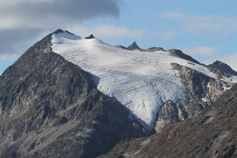
I need to go through my photos and see how much this glacier has shrunk in recent years. I think the retreat has been pretty dramatic.
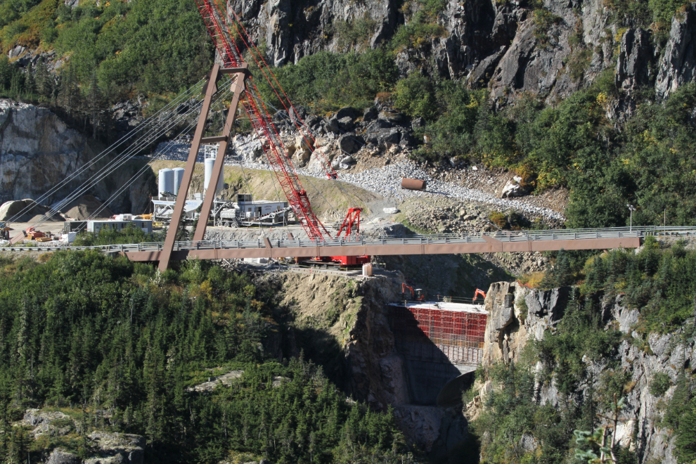
The other new bridge on the South Klondike Highway, replacing the unique Captain William Moore Bridge, is also taking shape now. It’s not so much a bridge as a culvert and fill, though.
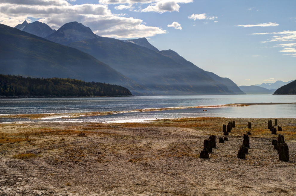
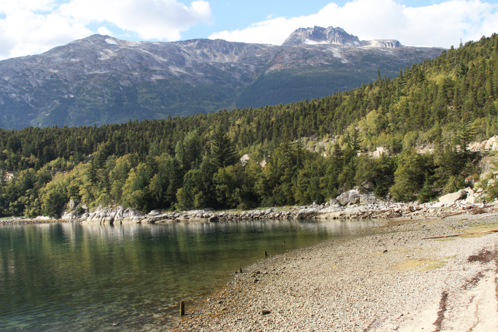
After picking up a few packages at the Skagway post office, I drove over to Dyea so the kids could have a beach play. The next photo shows the famous pilings from one of the very long docks that were built during the Klondike Gold Rush.
A cold wind made our Dyea beach stop fairly short. The next photo shows Nahku Bay (a.k.a. Long Bay) on the way back to Skagway.
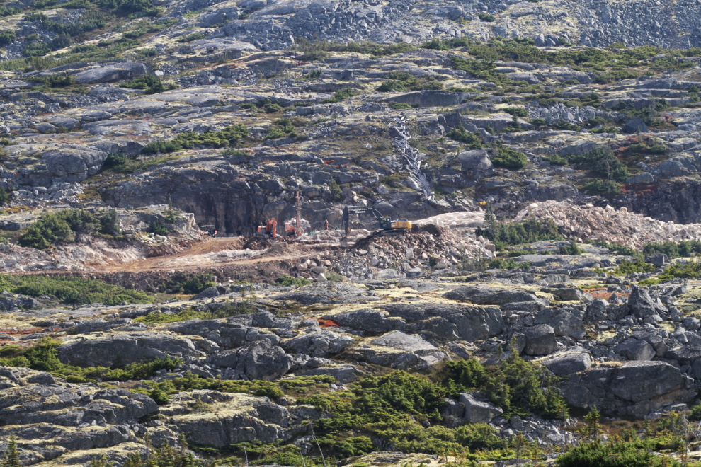
Progress has been speedy on a new mile-long loop track for the WP&YR trains at the White Pass summit. Much of the work involves blasting solid granite – this must be the biggest construction job on the line in recent decades. Crews are living in trailers set up at the summit, and they have a fuelling station for the equipment set up at Fraser. I posted a large version of this photo at the Narrow Gauge Railroad Discussion Forum on Facebook this morning.
We made another stop at Tushi Lake on the way home.
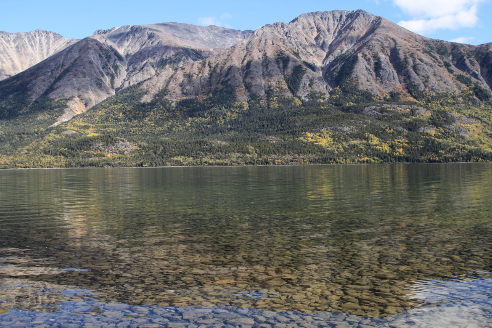
The view to the south along Tutshi Lake.
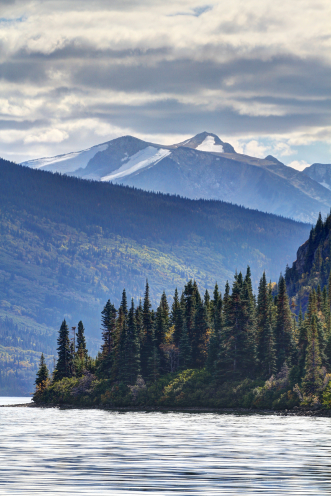
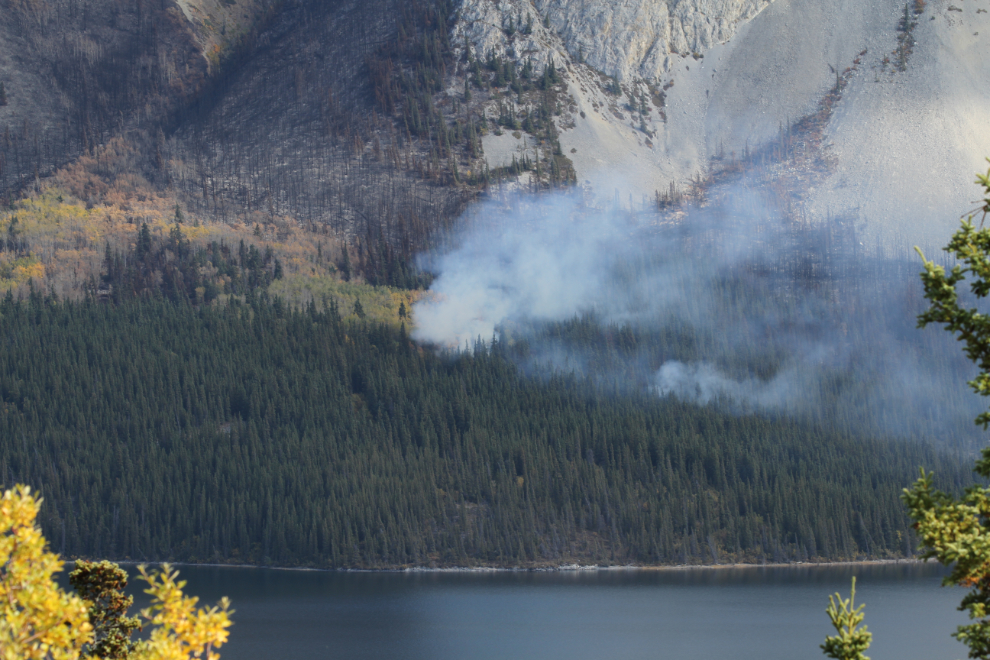
To end this post, a couple more photos of the Windy Arm fire.
As soon as Cathy gets off work this afternoon we’ll be going somewhere in the motorhome for the weekend, but I don’t know where yet. Maybe Kluane Lake, but maybe just down to Conrad…
