Exploring the Sunshine Coast from Powell River to Saltery Bay
On Day 39 of the trip, June 3rd, I moved just a few kilometers south of Powell River, to property owned by former Yukoners I’d met, and spent the day exploring south to Saltery Bay.
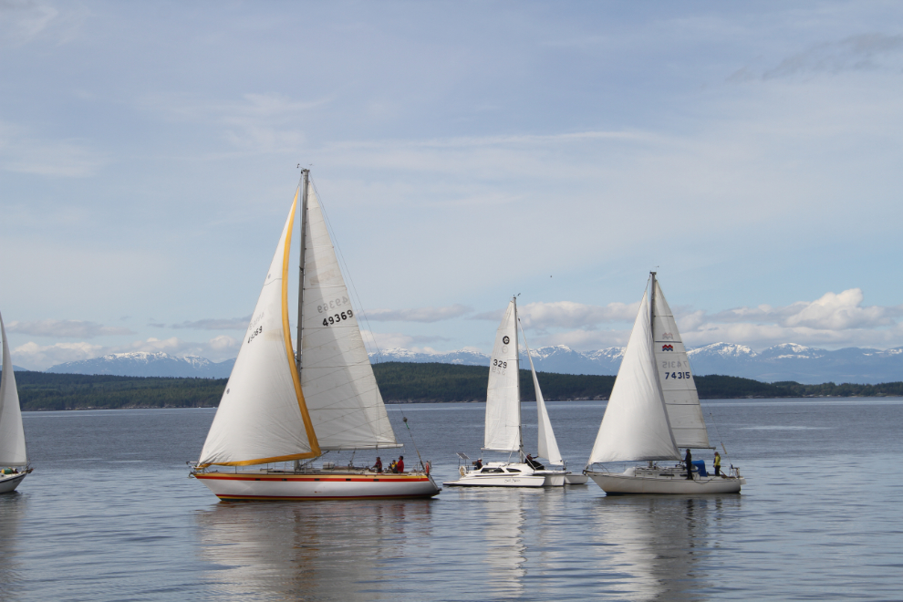
Willingdon Beach Campground had been perfect for seeing the Powell River area. At about 09:00, the local sailboat club arrived to play out front. I thought that Bella and Tucker might be intrigued by the boats during another walk, but as is usually the case, they weren’t.
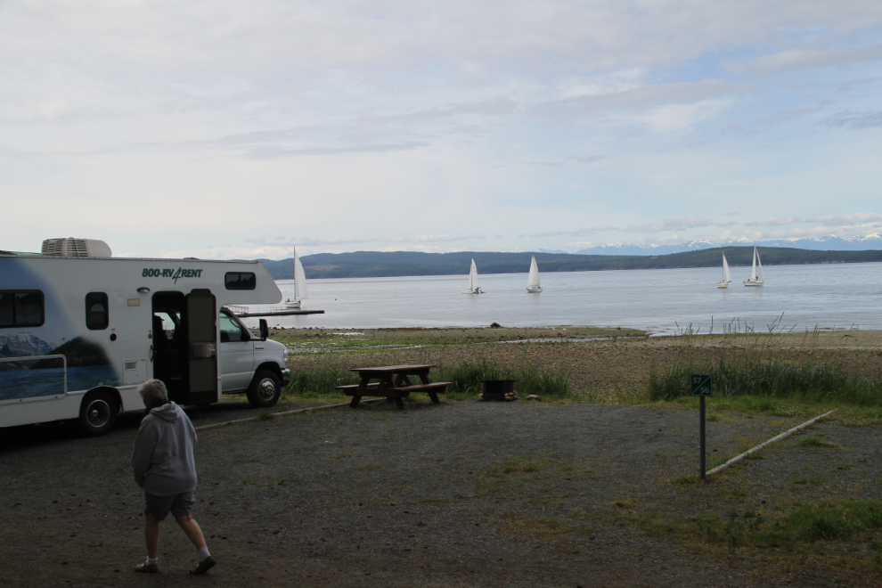
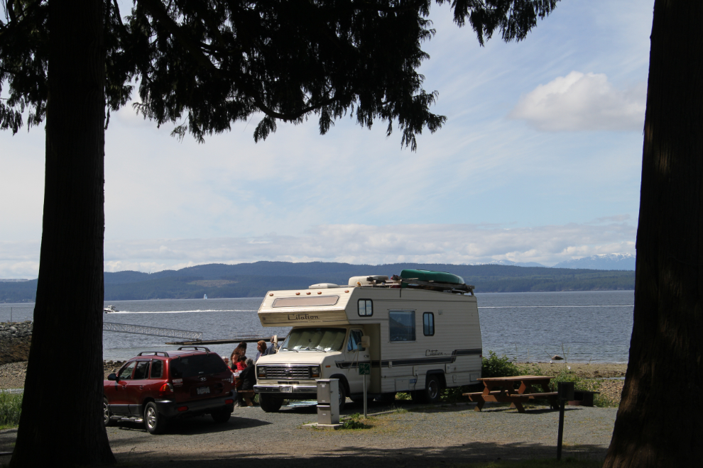
A final shot of campsite #64 before packing up to go.
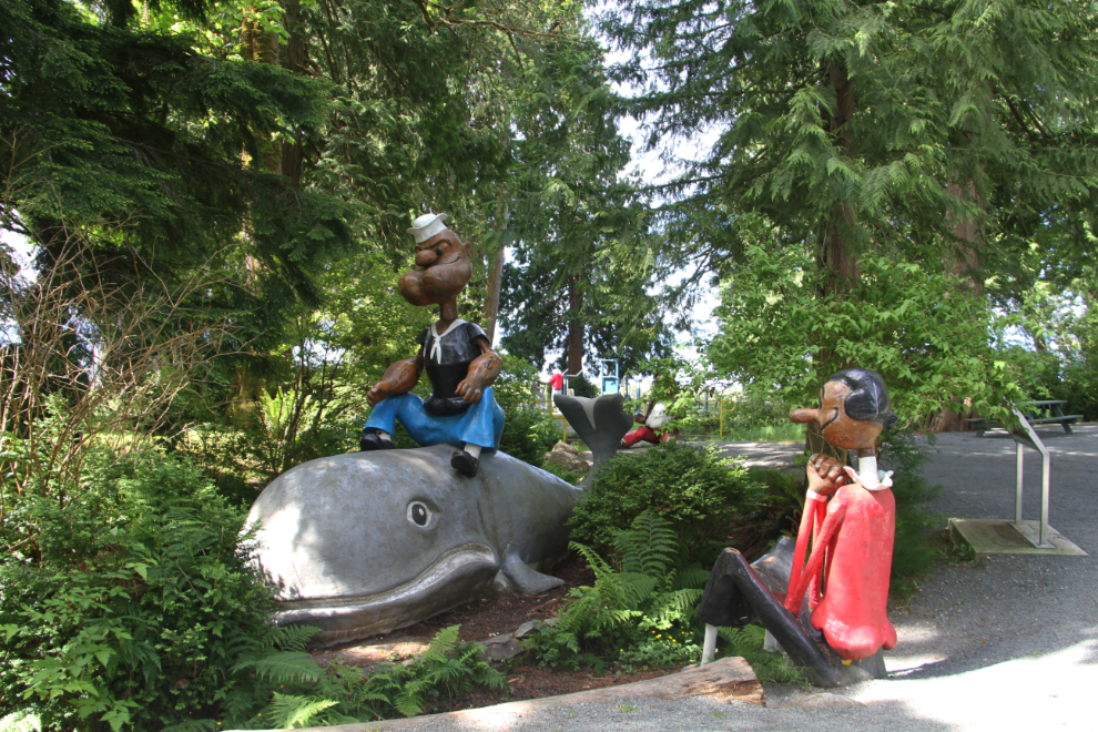
Beside my site are these large figures of Popeye and Olive Oyl, as well as Brutus. They were originally on a parade float that the local Rotary Club made in 1969. They were made of paper mache, but when they were retired, they were given to the City, who fiberglassed them and installed them here.
My local friends Barb and Dave had moved their RV down to the campground, and were hosting a few beaders for the weekend. I spent a bit of time with them, and then just before 11:00 headed out to meet Dawn Kostelnik, who moved here from the Yukon 3 years ago.
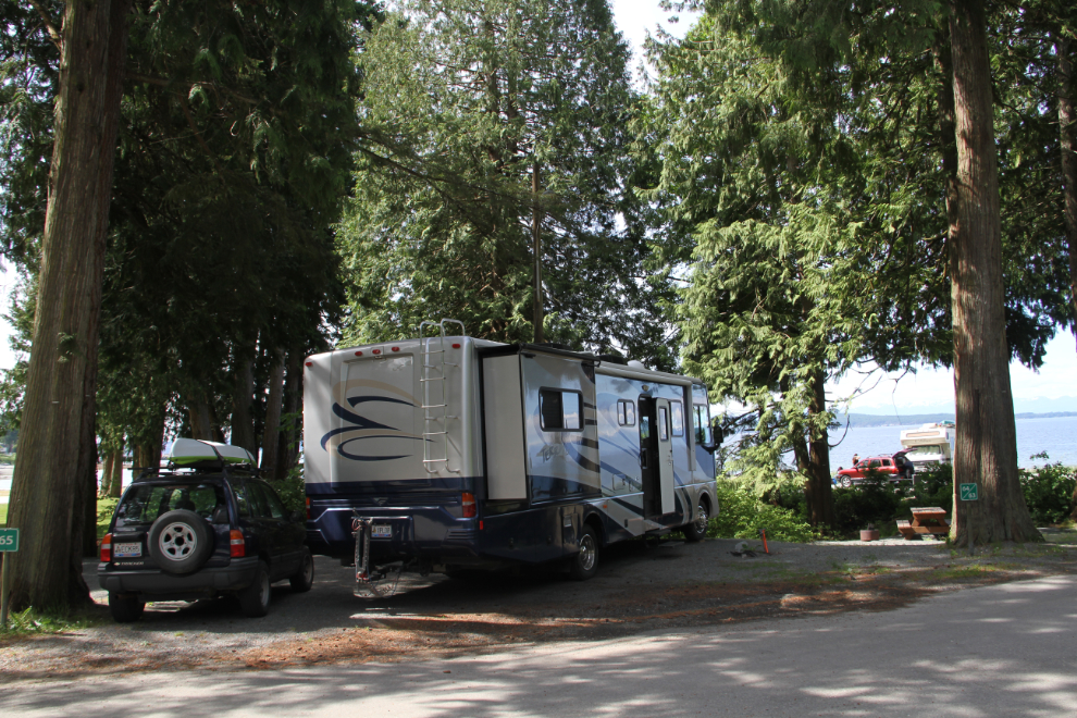
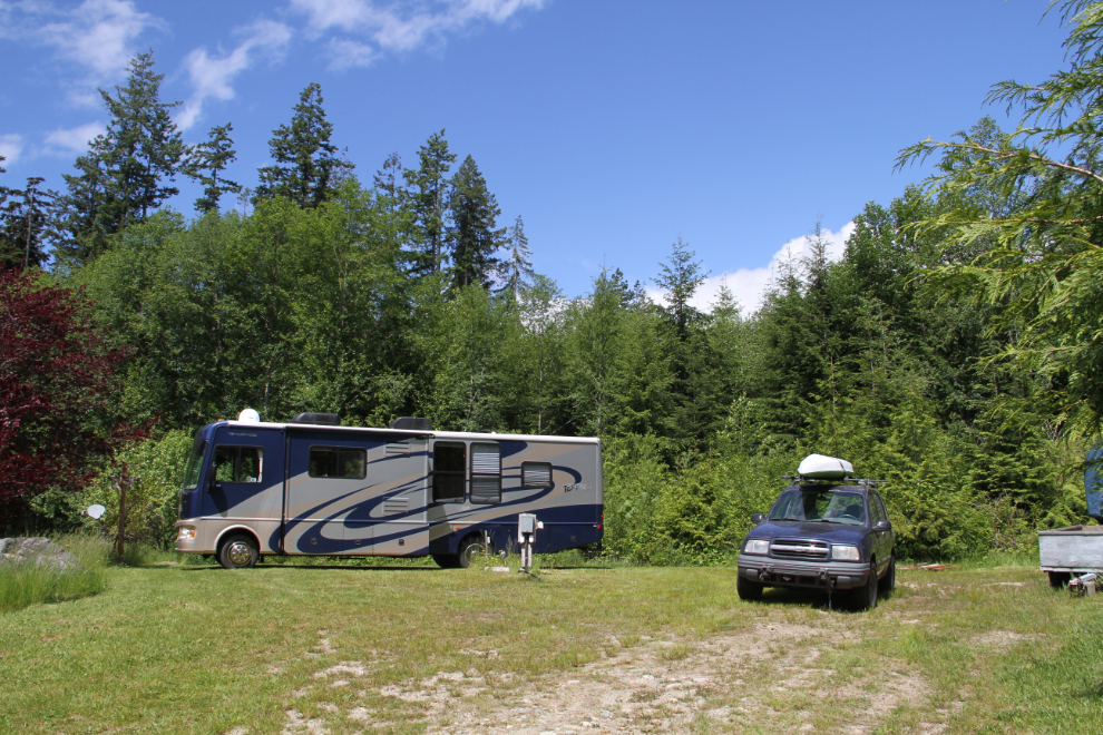
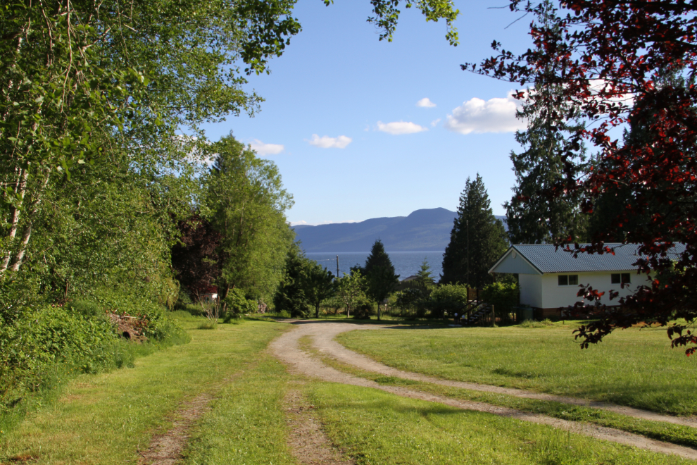
By noon I was set up at an RV site behind the Kostelnik’s B&B. The property has 6 full-service RV sites, but until Rick does some work on them, they’re just available by invitation. I was on one of the 2 sites on an upper terrace that Dawn calls The Penthouse 🙂
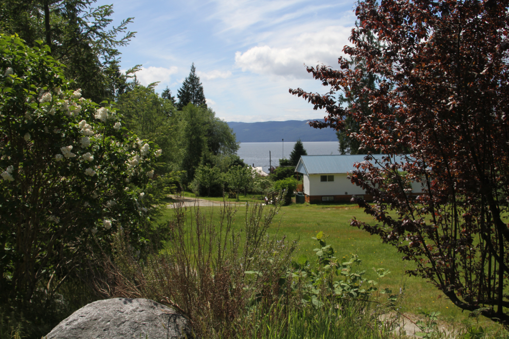
This is the view from The Penthouse.
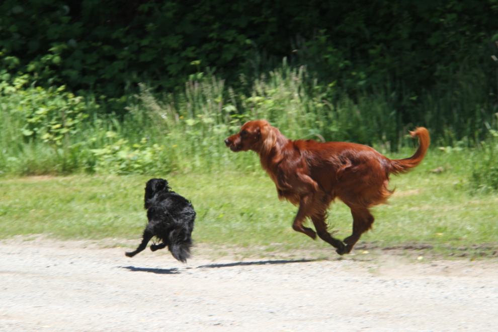
A German couple is spending the summer at the B&B, and their gorgeous Irish setter, Lilly, took an immediate liking to Tucker. Bella got really jealous so I held her while the other 2 played.
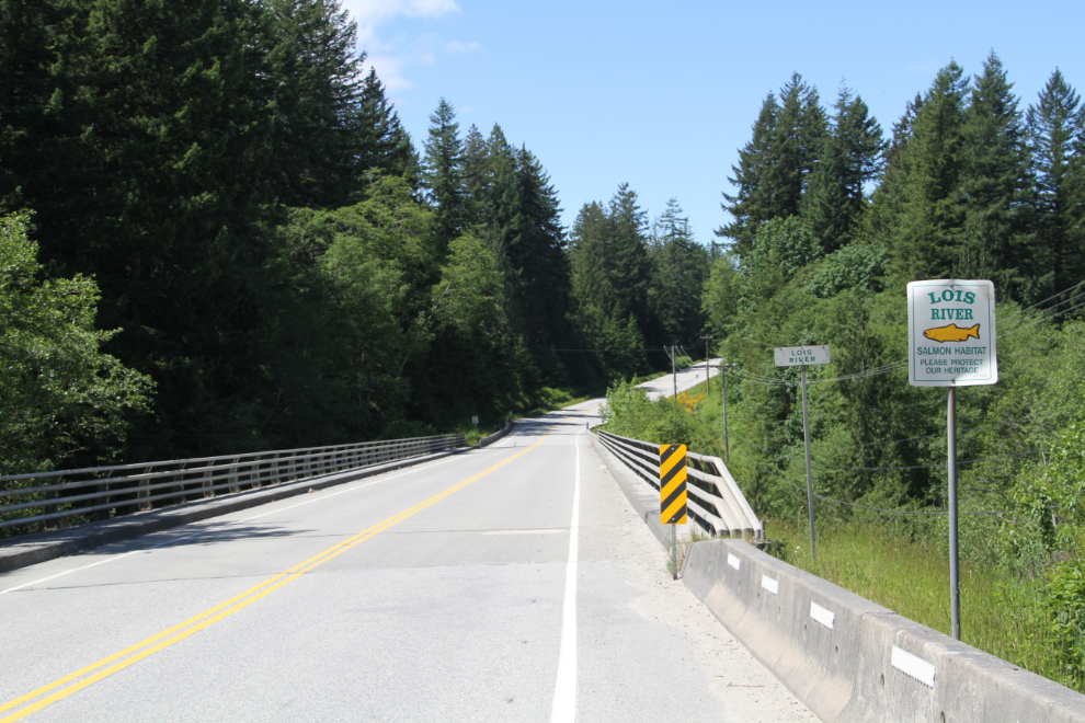
Dawn told me that the Eagle River, a.k..a Lois River, on the highway just north of their property, has a great canyon that was worth checking out, so that was the first destination for the dogs and I to explore.
At the south end of the bridge, a section of old highway leads under the bridge and a rough trail leads to the river from there. The limestone canyon is indeed spectacular, but with the dogs, difficult to navigate, as there are no trails or obvious routes to explore on once you get down there. Unable to get any photos that I was happy with, I went up onto the bridge to try from there.
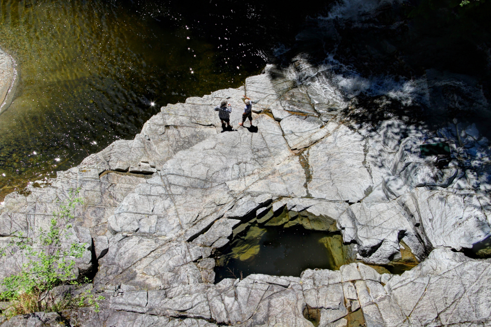
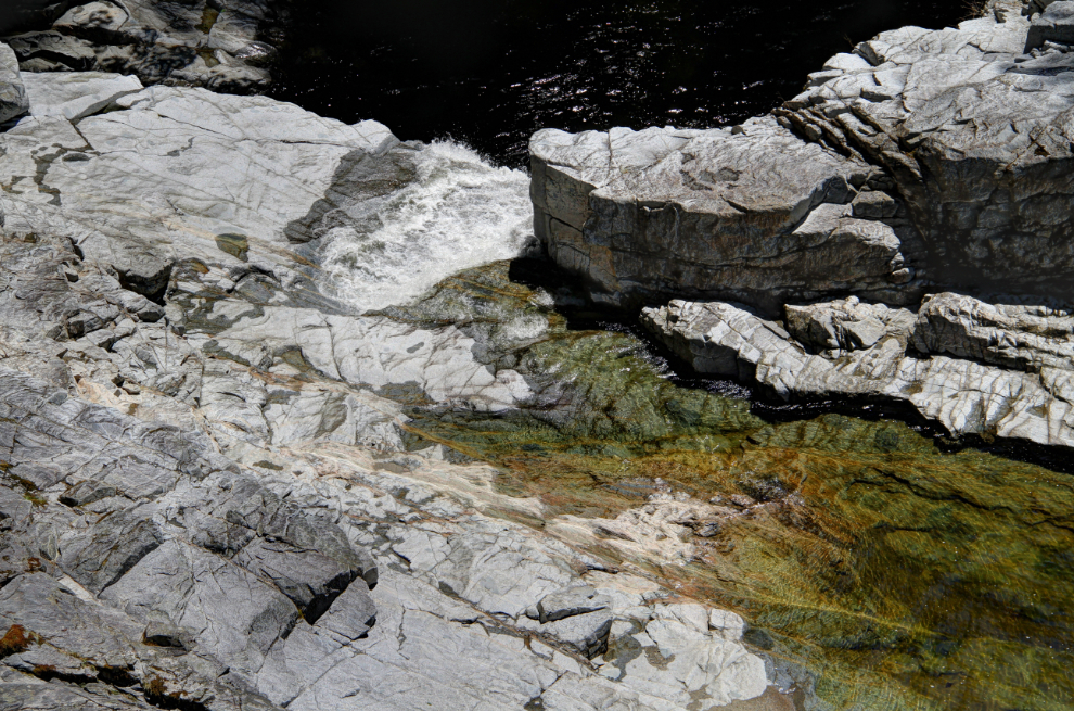
The next 2 photos give aan idea of what the small section of the canyon that’s accessible looks like. It appears that getting into the canyon below the waterfall is extremely difficult. The hole that the two men are standing near in the upper photo is so deep that the bottom can’t be seen even from the bridge viewpoint.
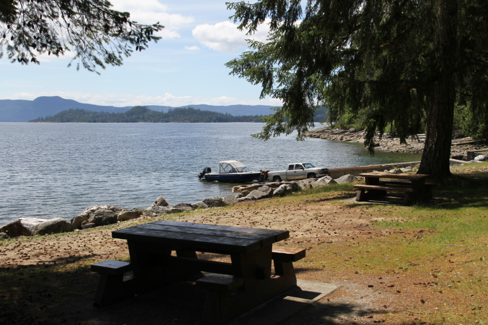
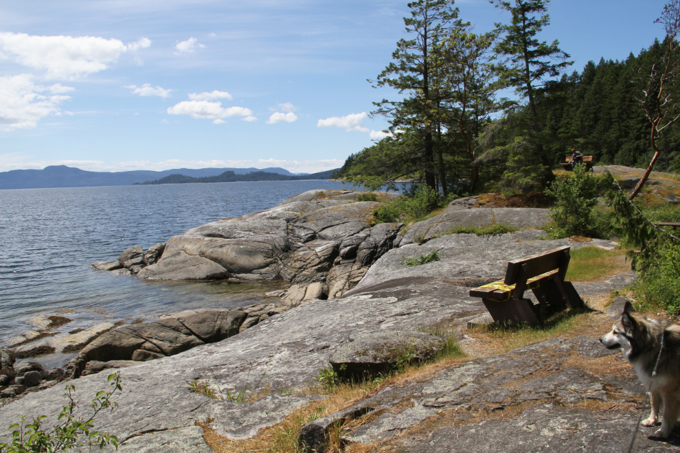
From the Eagle River, I drove south to the Saltery Bay Provincial Park picnic area. This was a much more dog-friendly place to play with the kids.
Continuing south, I saw a sign pointing to a campground and scuba diving area. I obviously needed to have a look at that.
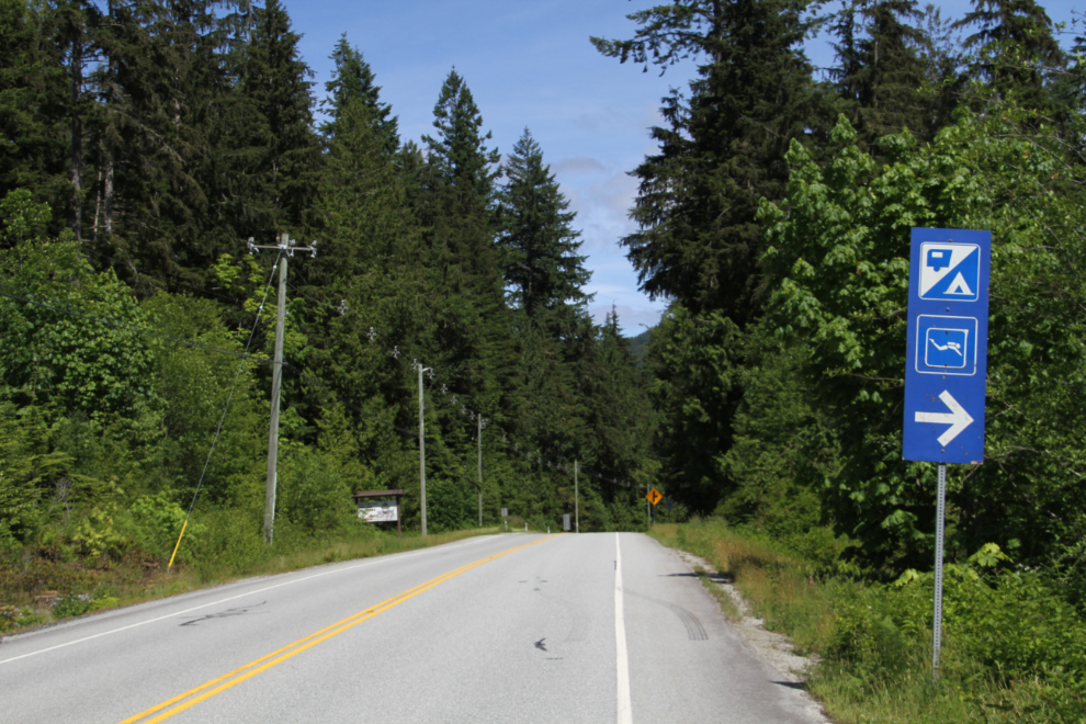
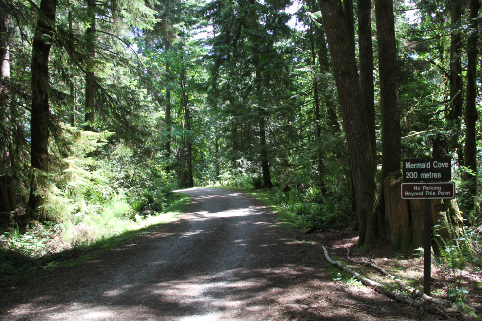
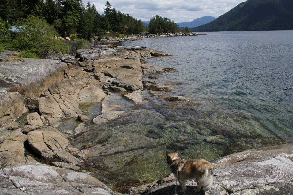
The sign was pointing to the Saltery Bay Provincial Park campground, which is also the access point to a popular dive site called Mermaid Cove. The campground is very nice, and this road leads to Mermaid Cove. You can take vehicles down the road to unload kayaks or dive gear, then have to come back up to park.
Mermaid Cove is stunning! What an amazing place for divers, kayakers, or photographers
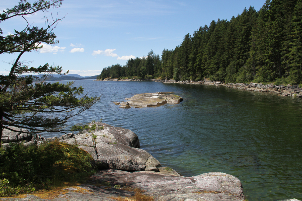
A couple of kayakers were just getting ready to head out for the afternoon (in the photo, you can just see their boats on the far shore), though a light wind that had just come up was bothering them.
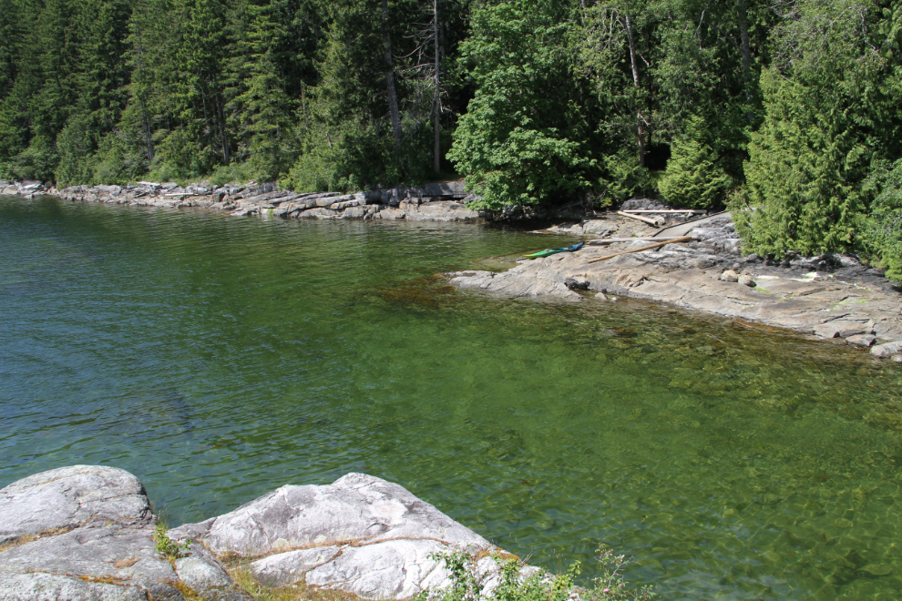
Just offshore here, in 60 feet of water, a 9-foot tall bronze mermaid attracts divers from around the world. Sculpted by Simon Morris, she was placed here in 1989, amid a garden of sea urchins, anemones, sea stars and other creatures.
What perfect diving conditions.
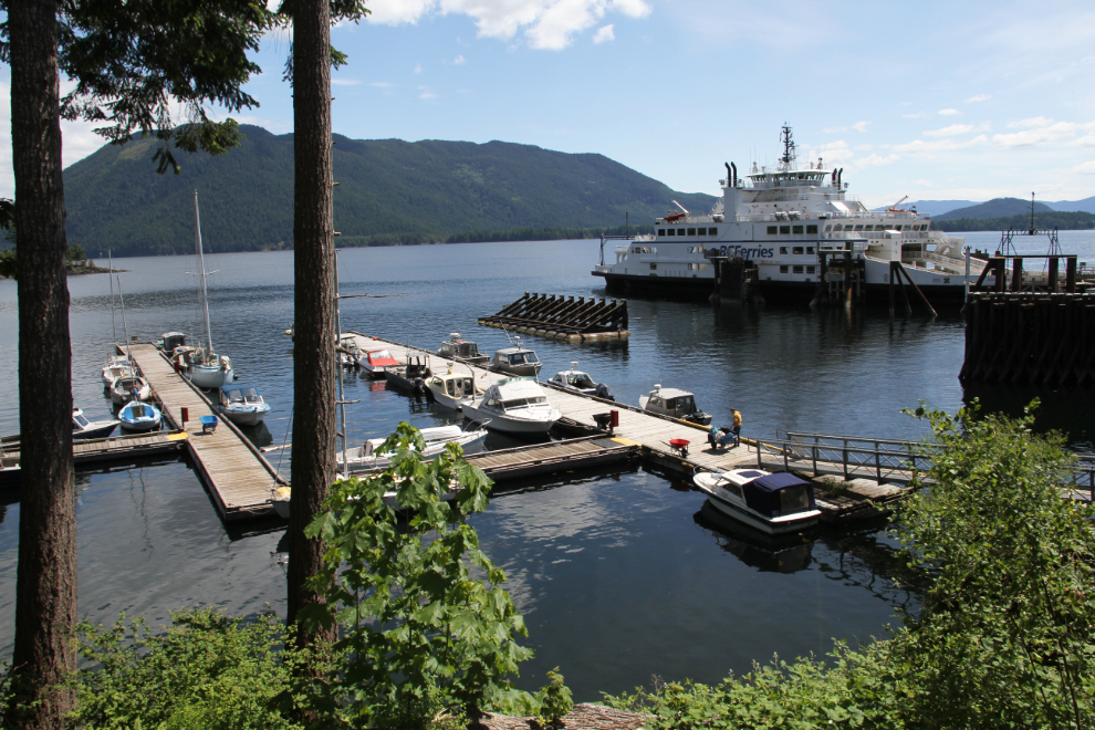
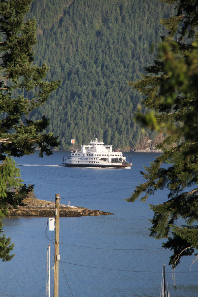
The final destination for the day was the Saltery Bay ferry terminal, just for a look. The ferry Island Sky makes the 9-km crossing to Earl’s Cove on the southern section of the Sunshine Coast every couple of hours.
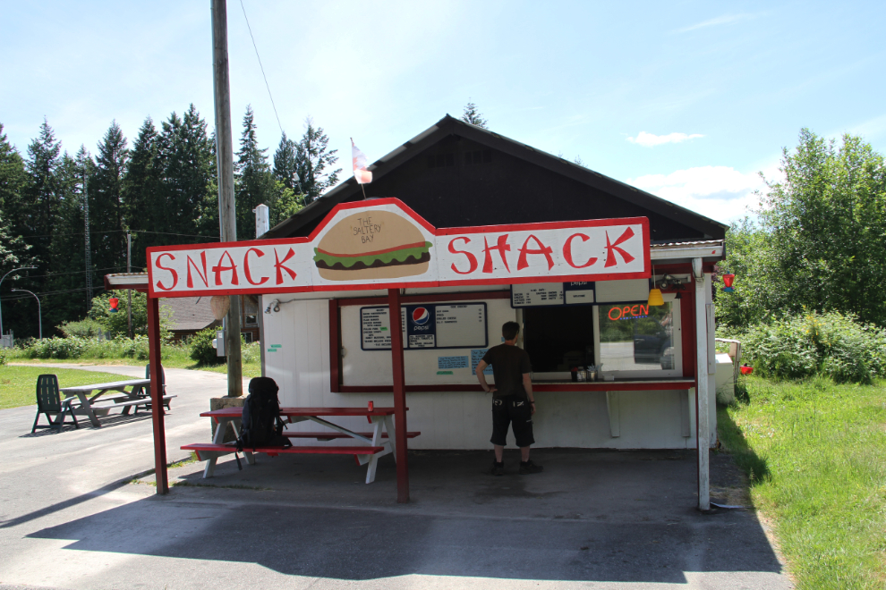
I headed back towards the motorhome, went past the Snack Shack, then did a U-turn about a mile later and came back. I needed a snack. Or a very good burger, which is what I got 🙂
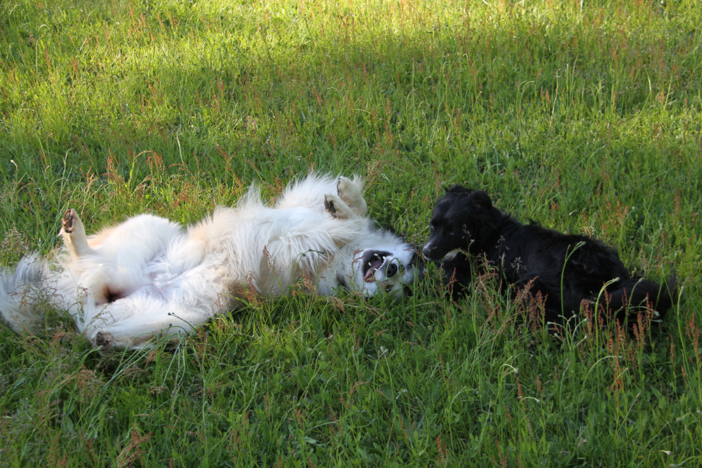
It was a wonderful afternoon to spend time enjoying the view and the quiet back at the motorhome.
Bella and Tucker agreed 🙂
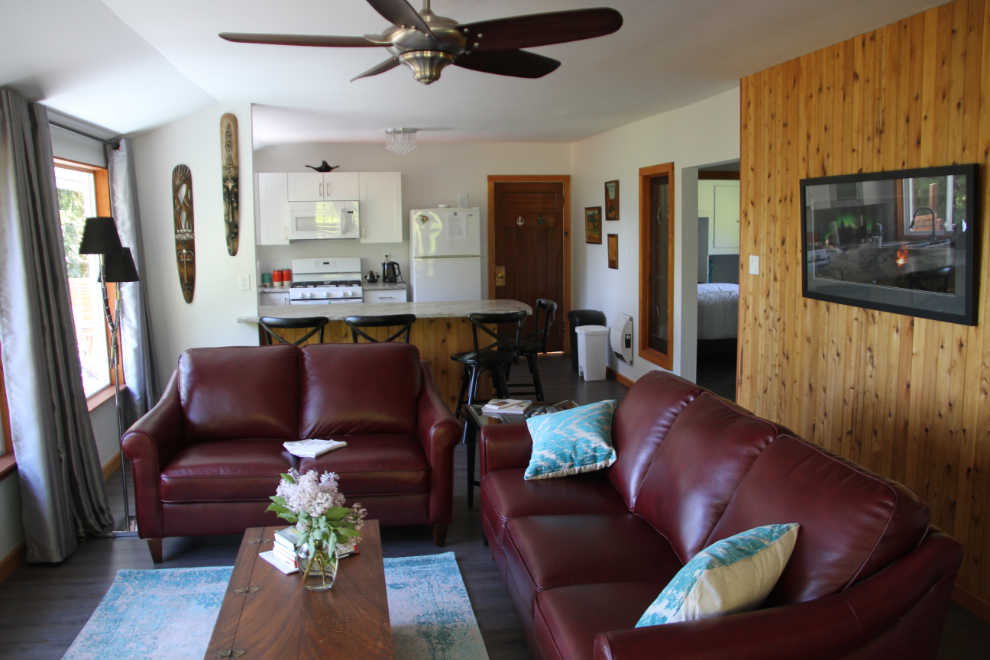
I had a look at the upper floor of the B&B, which wasn’t rented. Called the Stillwater by the Sea Suites (Stillwater is the name of the area), it’s very nice, with an even better view than the RVs in The Penthouse have.
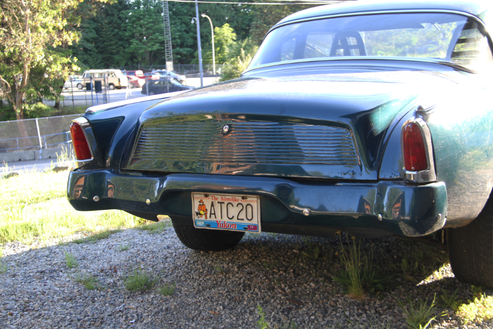
I returned to Saltery Bay at 7:00 pm, and spent a very enjoyable evening with Dawn and Rick. We have a lot in common besides the Yukon. One of those things is this regularly-driven custom 1956 Studebaker Power Hawk, still sporting Yukon plates. A 1956 Power Hawk was the second of the many Studebakers I’ve owned.
Watching the ferry arrive, from the Kostelniks’ deck.
One of things that I hadn’t gotten done before leaving Powell River was having a good look at the historic Townsite, so that was #1 on my list of places to see the next day.