Exploring the Aishihik Road & Aishihik air base
There aren’t too many roads in the Yukon, or even in Alaska, that I haven’t driven at some point over the last 23 years, but there’s one fairly close to Whitehorse that I hadn’t seen completely yet – the Aishihik Road (that’s pronounced ay-shee-ack). The furthest I’d been up the road so far was last July, when I made it about 70 kilometers up before a storm chased Bobbie and I out. Last Wednesday, though, I was determined to get to the end. Monty and I were away from the house at 08:35, with the temperature sitting at 4°C (39°F) and with a decent weather forecast for the day.
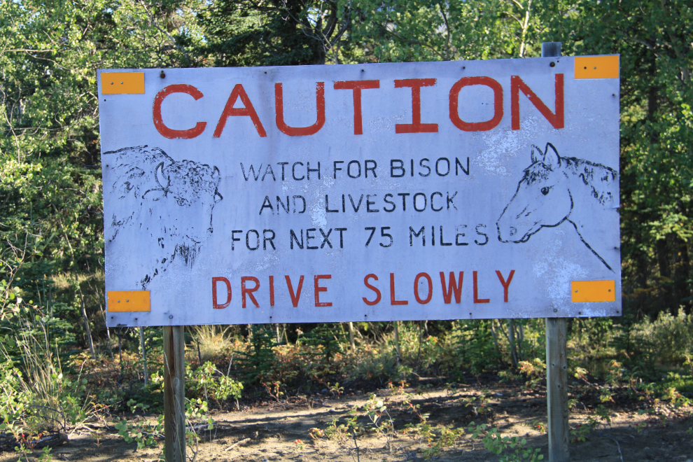
The Aishihik Road meets the Alaska Highway right at Km 1546, which is 142 km west of home. I stopped at the lodge at that junction to top my gas tank off, and by 10:15 had reached this sign at Km 2.2 of the Aishihik Road.
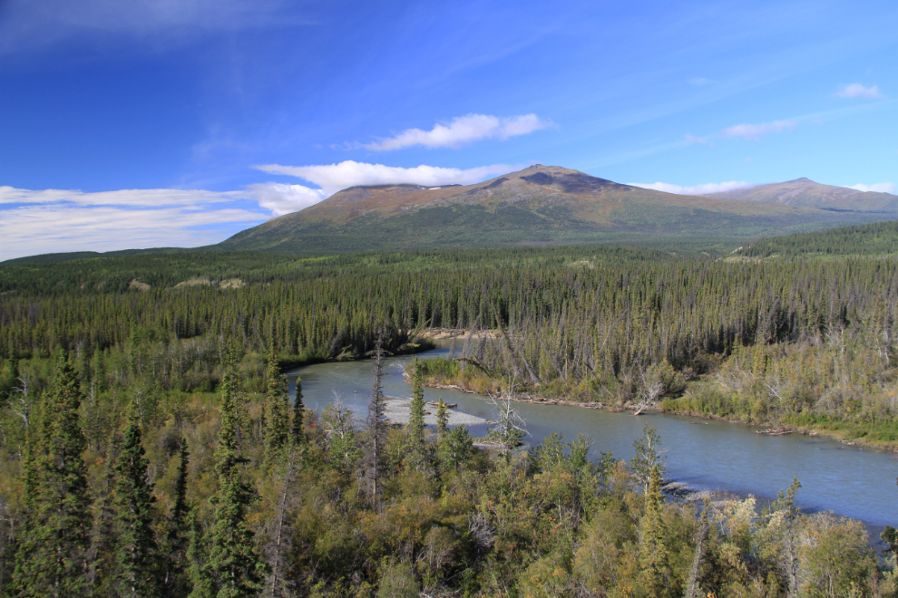
The view to the west at Km 13.0, across the Aishihik River, at 10:30. Names here vary – the river is also sometimes called Canyon Creek because it drains Canyon Lake, but Aishihik River is the official name. And Canyon Lake is called Otter Lake by locals – with Otter Falls at the foot.
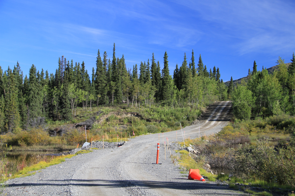
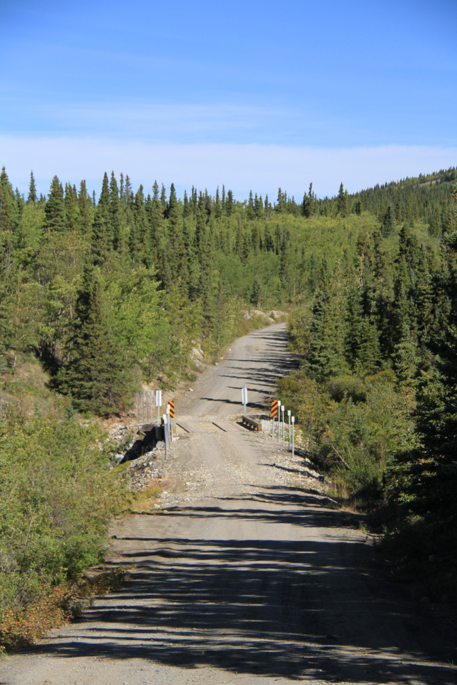
Looking north at Km 25.1 – one of the many culvert and bridge repairs done in the past 2 years.
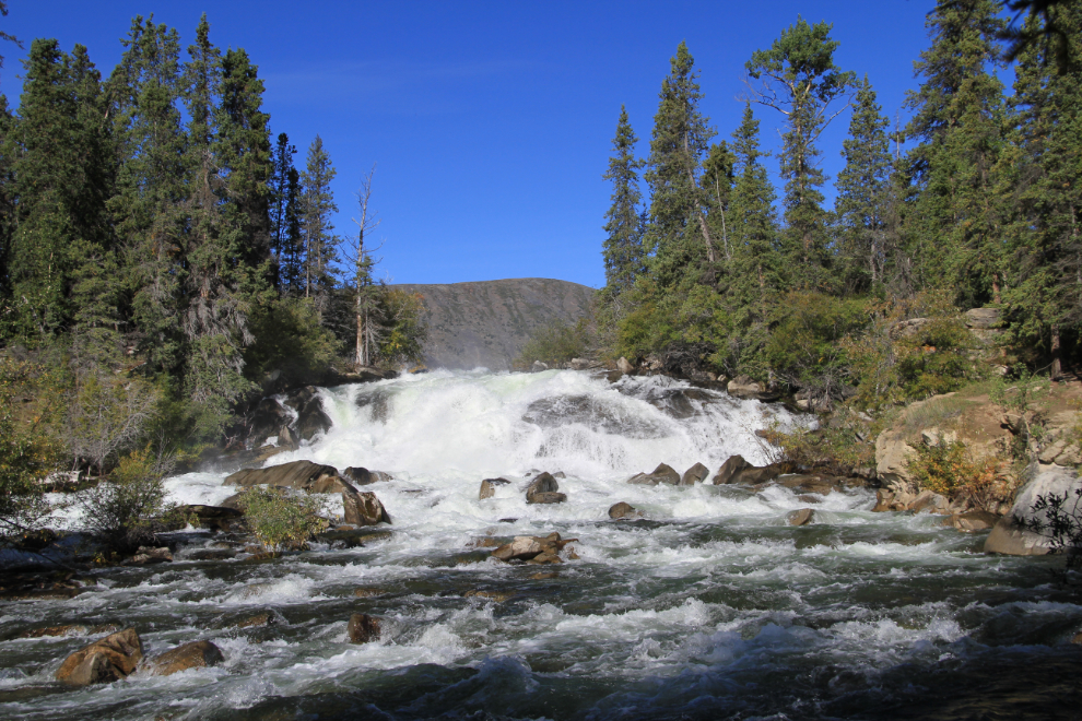
Most people who head up the Aishihik Road are going just to see Otter Falls, at Km 27.9. I was very surprised to see it at pretty much full flow – normally by late August there’s not much water flowing. Last July, I shot a 35-second video of it with a bit less water flowing – you can see it at Youtube.
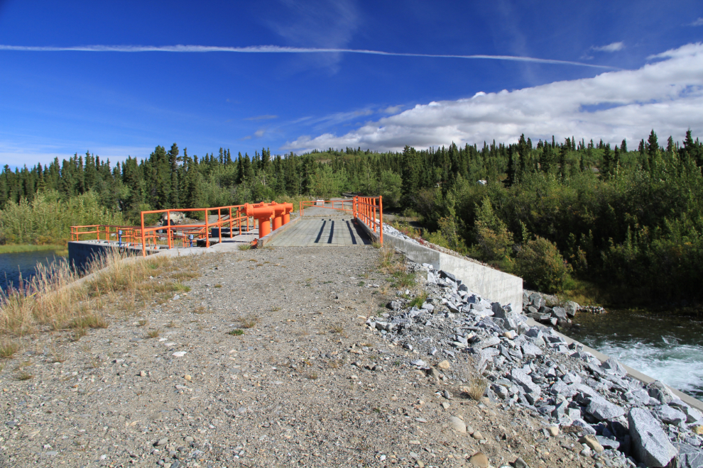
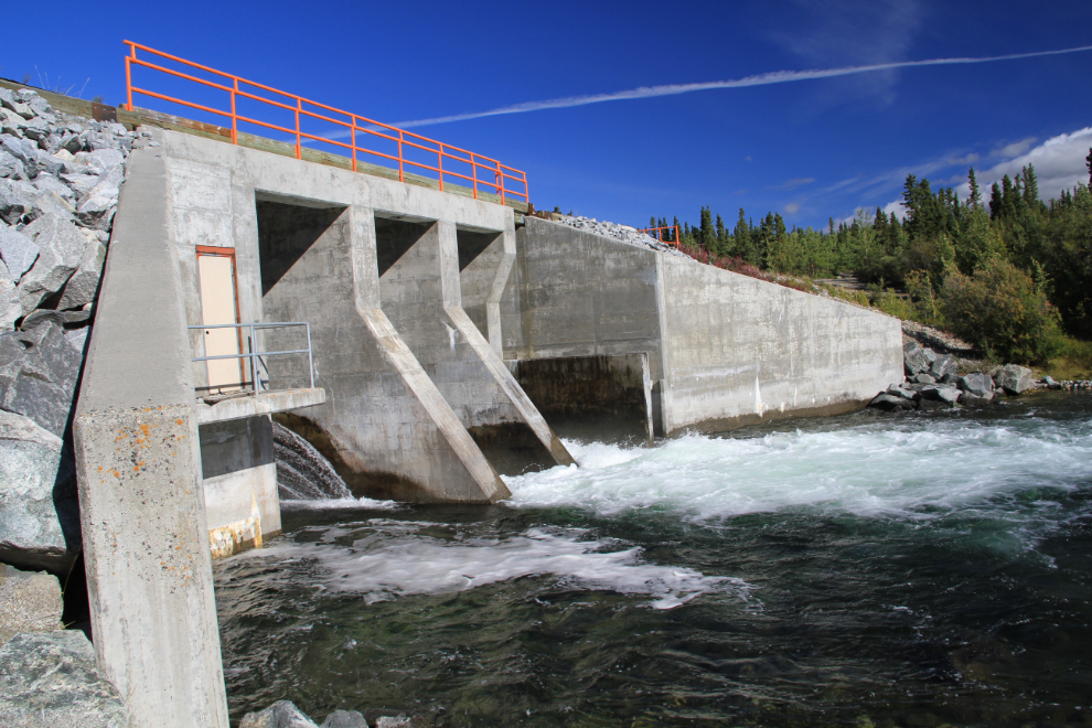
Right above Otter Falls is Yukon Energy’s small Canyon Lake Dam. As you can see, there was so much water the dam’s control pipes couldn’t handle it and the excess was flowing over the top of the dam. That’s apparently okay, part of the design.
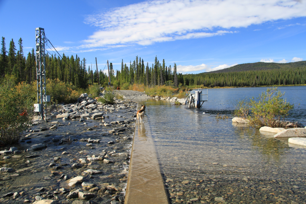
Looking back to the south across Otter Lake at Km 36.3. This steep hill provides the best view on the entire road.
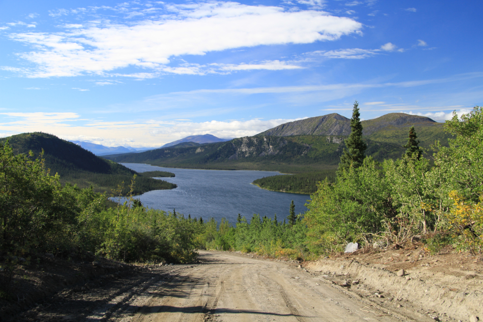
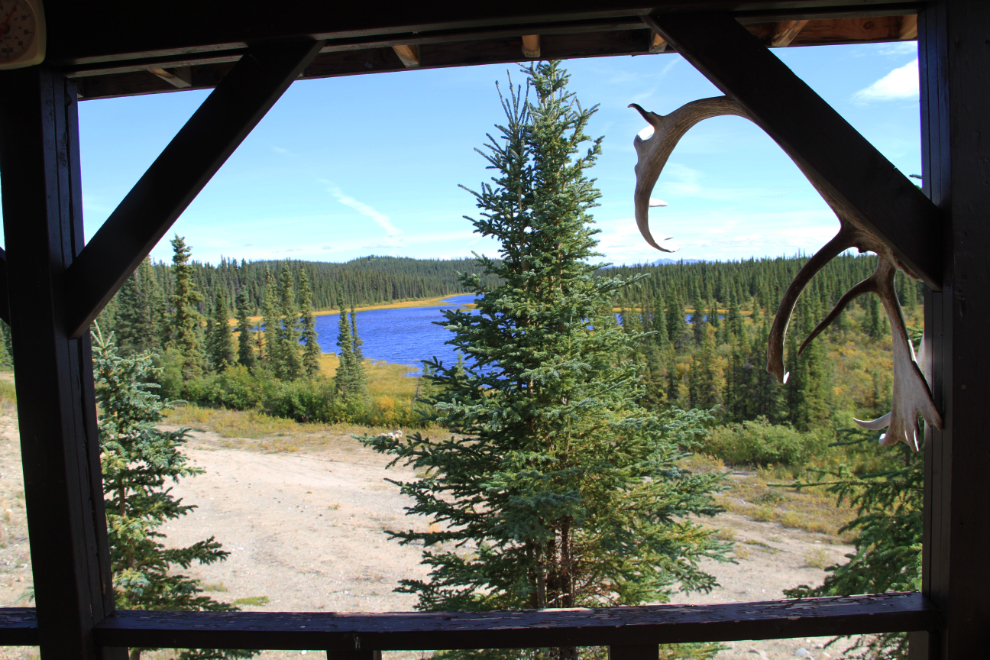
The road wanders around through the boreal forest, with a few open views, a few glimpses of broad views through a screen of trees, and lots of short views such as this one to the north at Km 41.3.
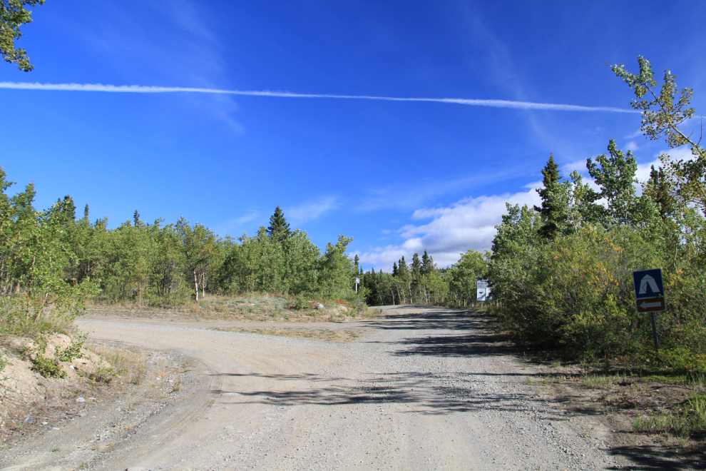
At Km 42 you come to the end of the maintained road, and the turnoff to the Aishihik Lake Campground.
The Aishihik Lake Campground has 16 sites, some very nice, and this boat launch that was rebuilt last year.
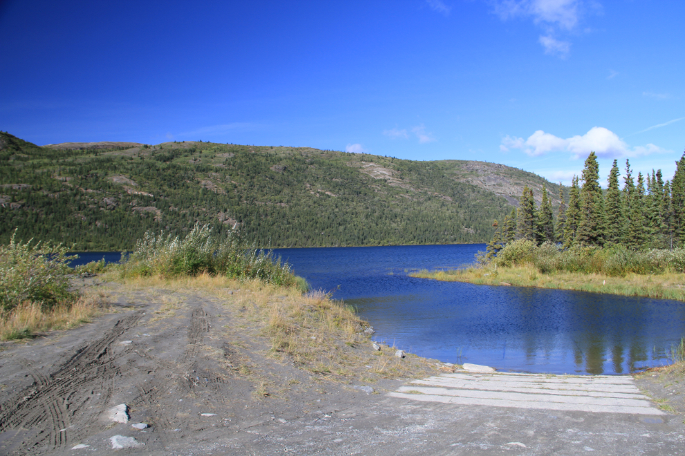
Yukon Energy’s Aishihik Lake Dam can be seen at the lower end of the campground, by the boat launch.
The spillway of the dam appears to be a popular fishing spot, judging by the well-worn trail down.
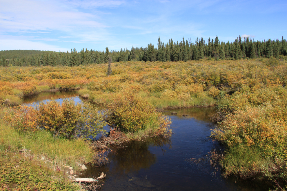
Crossing a marsh at Hopkins Lake, Km 46.7.
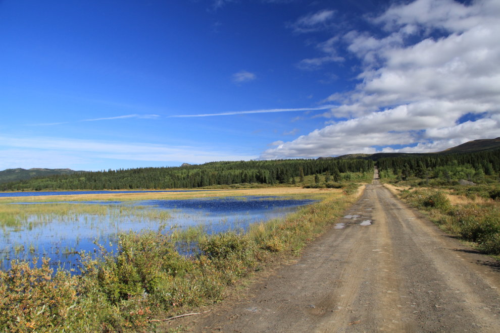
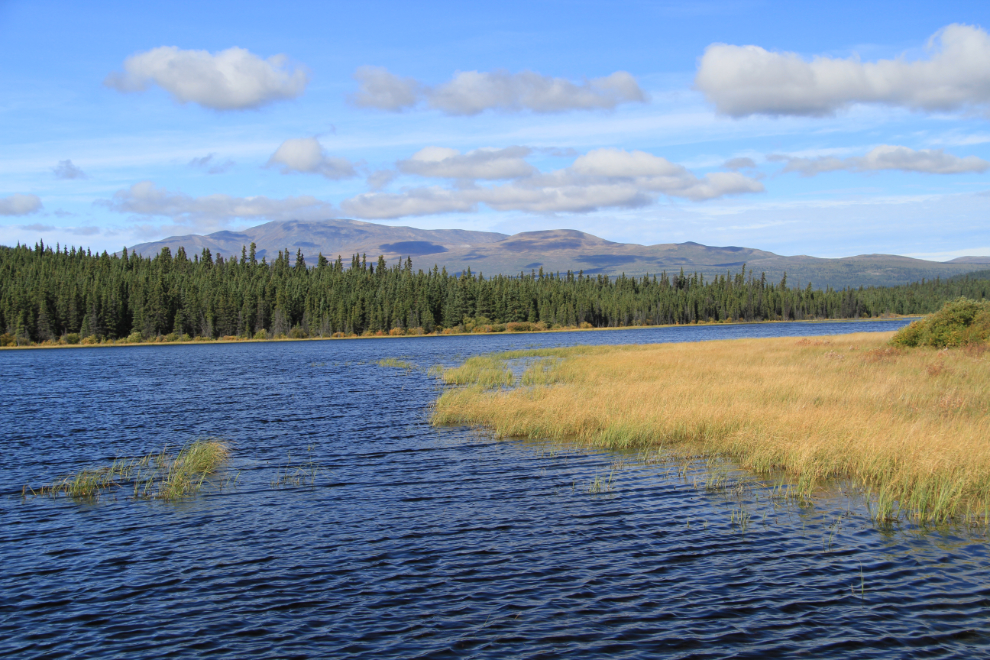
Another look at Hopkins Lake, one of the prettier spots along the road. I imagine that the bugs could get quite bad here on a still mid-summer day, but there were none when we passed through.
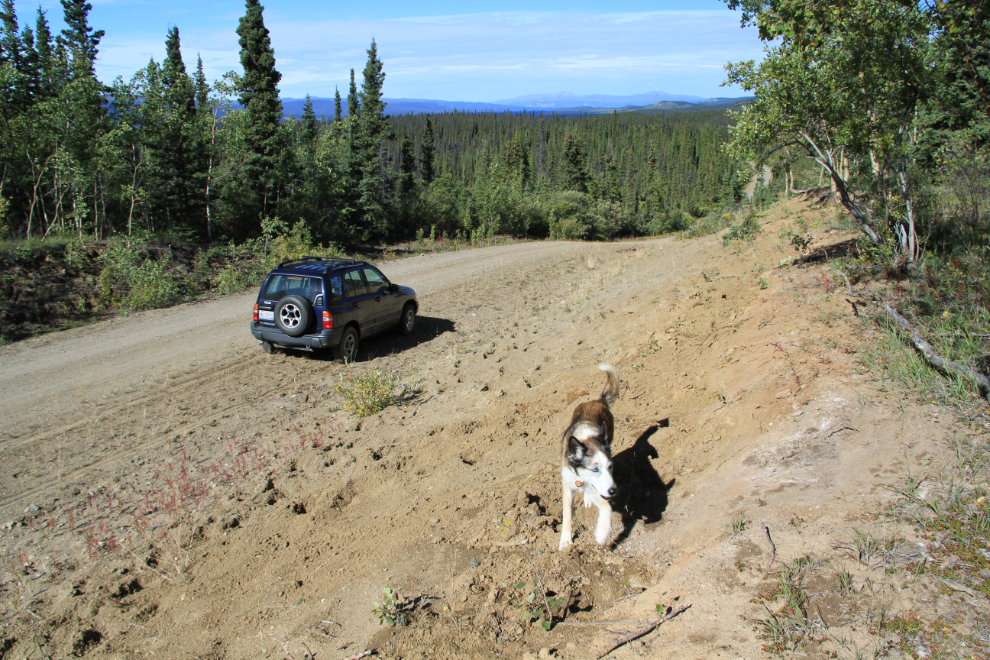
At about Km 73, we stopped to check out some bison tracks and spots where several bison seem to have bedded down very recently. Monty was very intrigued – he’d never smelled bison before. Once you pass the campground turnoff, there are no more kilometer posts along the road, and I know that the odometer in the Tracker didn’t quite agree with the posted mileages anyway, so now I’m using the term “about Km xx”.
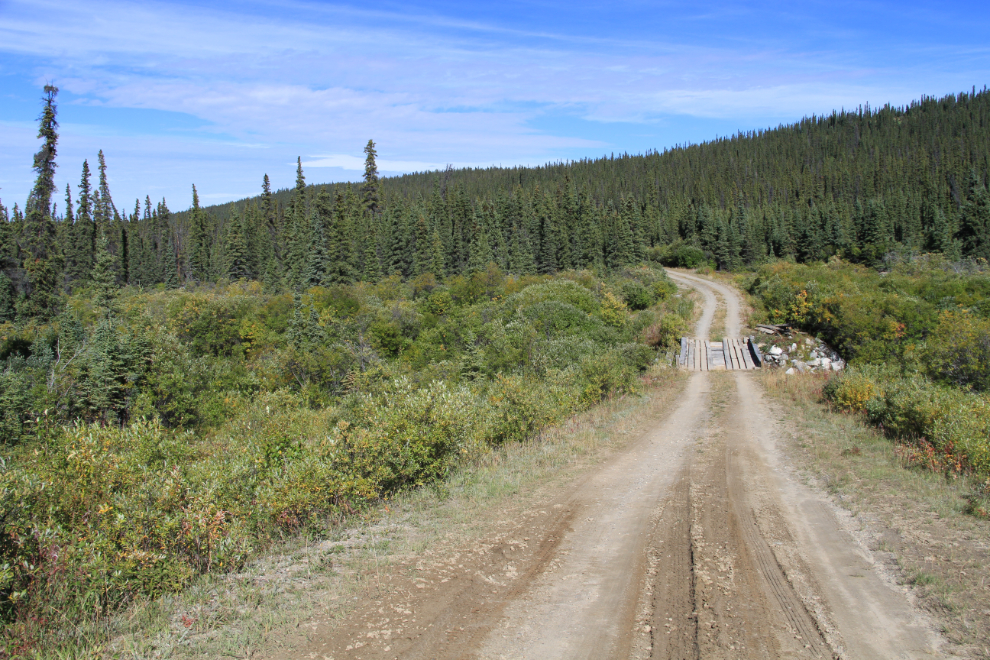
Looking north at about Km 74.
At about Km 93, a well-used bison trail led up into the forest.
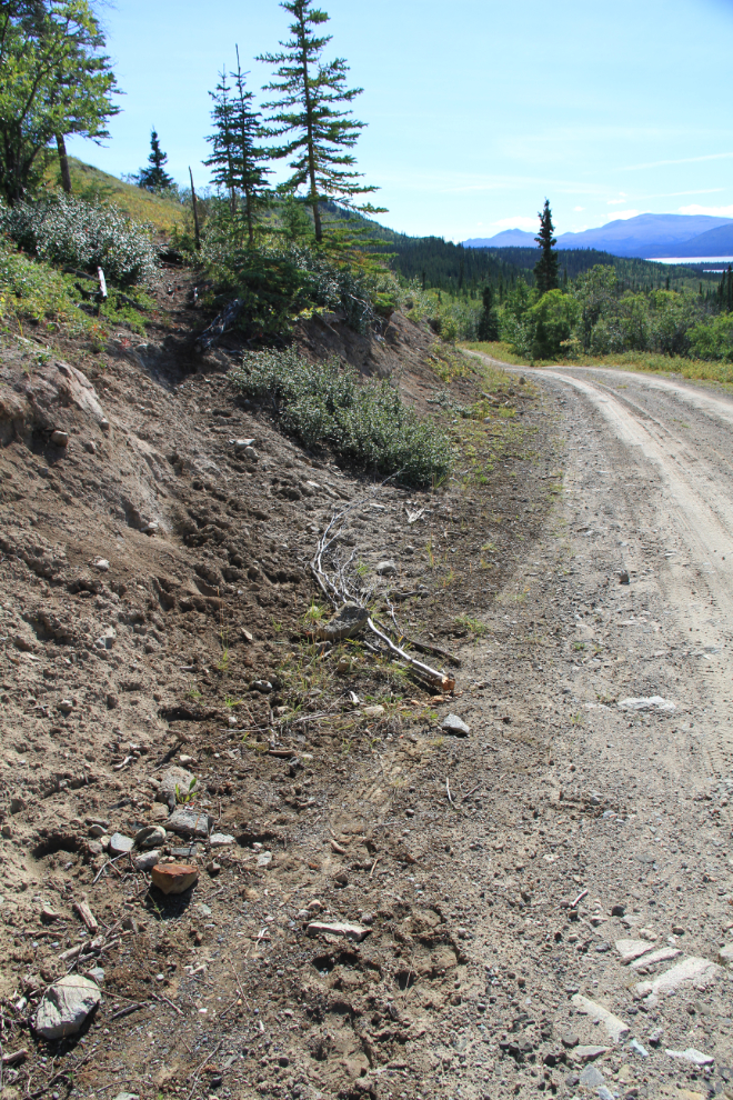
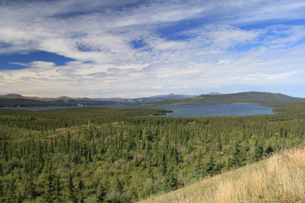
A wonderful broad view of the north end of Aishihik Lake, at about Km 96.
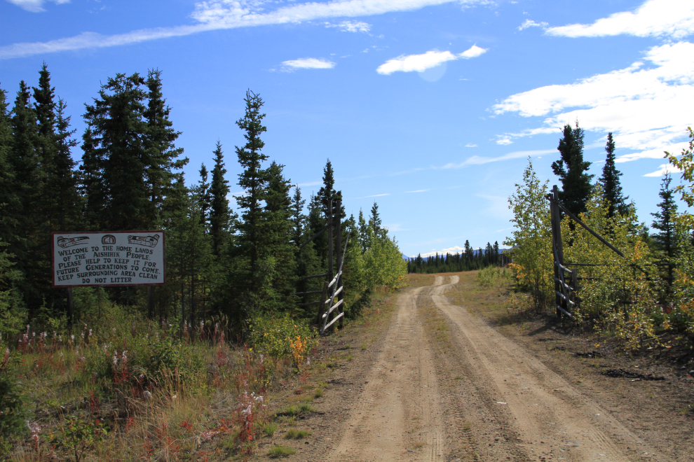
At about Km 120, you enter the old air base property, and apparently also Champagne-Aishihik First Nation settlement land. It had been a long haul to get to this point – it was now 2:15pm, so I averaged about 30 kmh (19 mph). Even with no stops you’d be hard pressed to average over 40 kmh (25 mph) without risking serious damage to your vehicle.
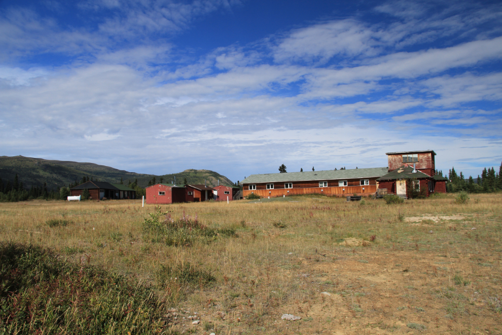
This is mostly what I came to see – the abandoned Aishihik air base from World War II. Very little information about the base has been published – it was jus one of the airports along the Northwest Staging Route for pilots flying Lend-Lease aircraft to Russia. There is a good Web site (a pdf as of 2021), though, created by O. Ernie Brown, who worked at the base in 1943. The Life in the Yukon part of his site has a few photos and lots of stories. I wrote to Ernie as soon as I got home from the base, but haven’t heard from him.
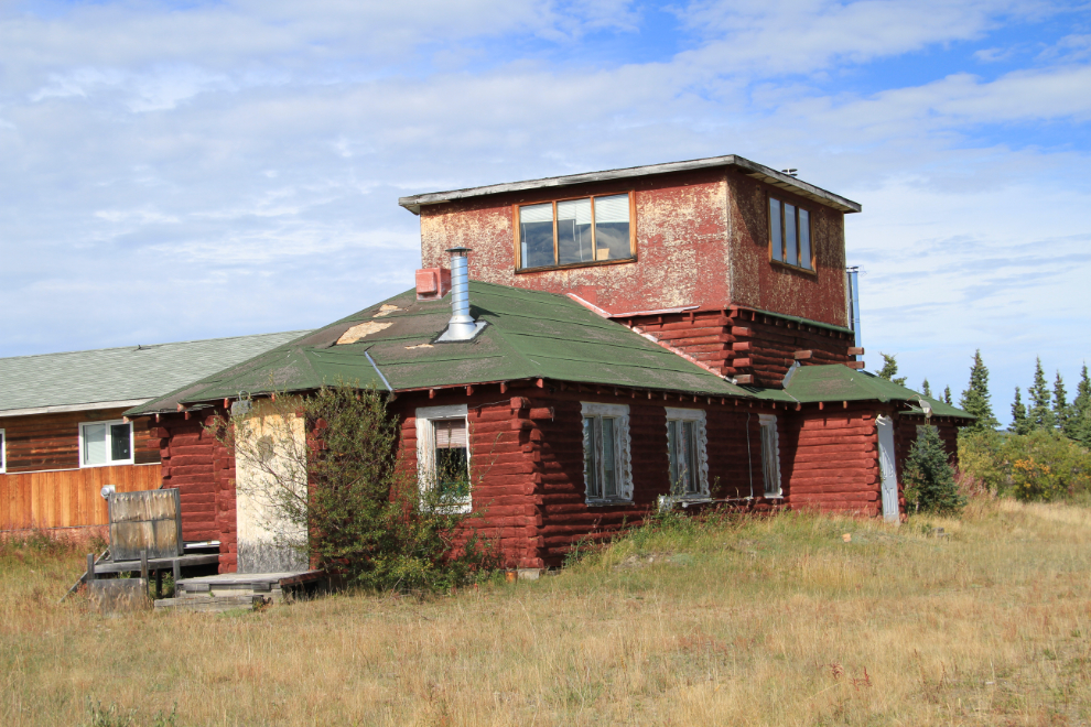
What Ernie terms the Operations Building was the control tower for directing aircraft. It’s changed little since he took his photos in 1943.
The garage appears to be the only other remaining original building at the air base. There are roads wandering everywhere around the base, but I saw nothing else of interest along the ones I explored.
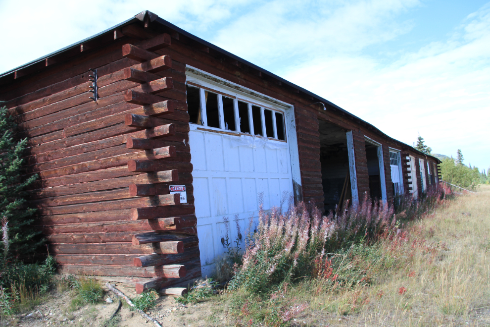
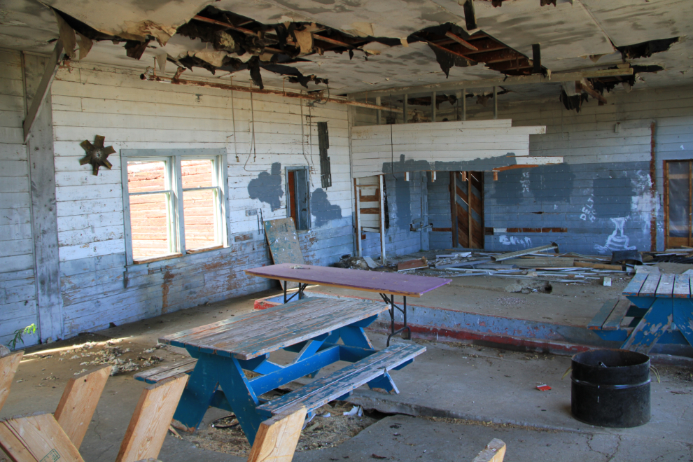
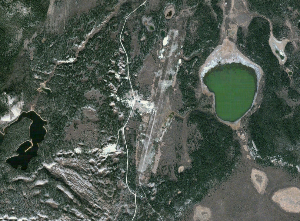
The base shows up well on Google Maps, but on the ground today, there’s no hint that the flat area of willows used to be a runway. The airport was officially closed and taken off air navigation charts in 1968.
Even though it was getting late, I thought I’d have a look at Aishihik Village while I was up there. At the edge of the village, though, was a sign saying “Developed Settlement Land. No Public Access.” So at about 2:45, I headed south again.
I made a stop about 15 km back down the road to get some shots of what appears to be a Conservation Officers’ cabin, used during hunting season, which starts just about now.
One of the few long, straight stretches of the road, at about Km 100, at 3:20 pm. It was also one of the rougher pieces of road. Although I may have been able to get my Subaru up the road, I’m really glad that I took the Tracker. I never needed 4-wheel-drive, but having the extra clearance definitely increased my level of comfort that I wouldn’t break anything, as there was a lot of mud and some very deep ruts.
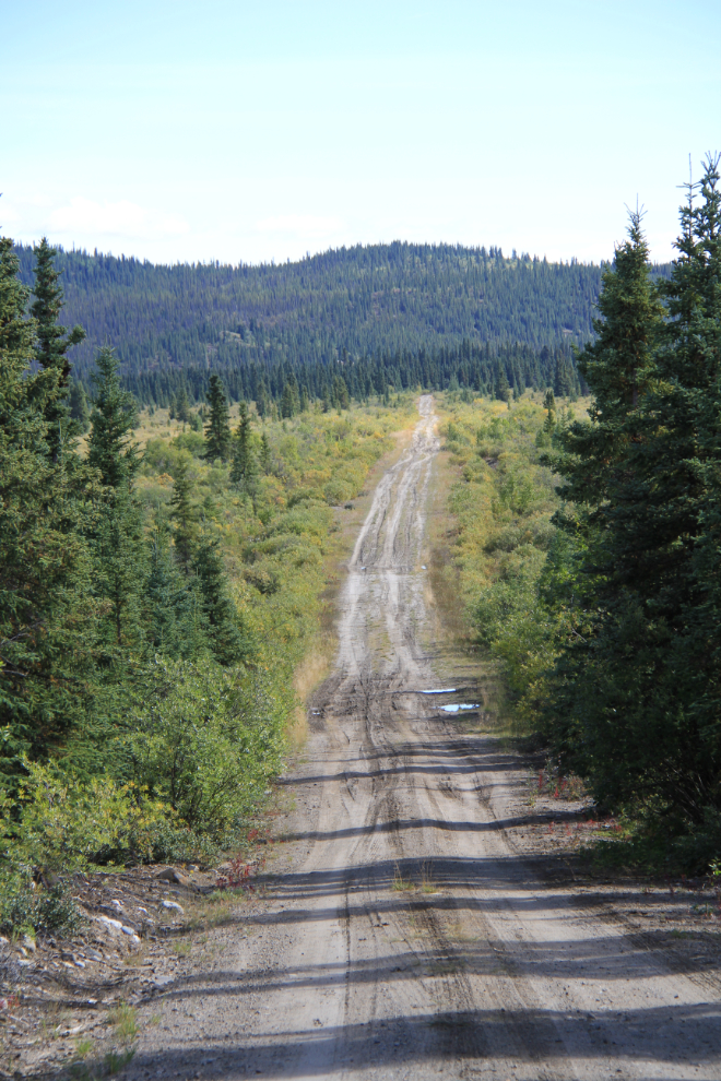
I had expected the Fall colours to be quite good at least at the north end of the road, but they were just getting started – another couple of weeks, I guess.
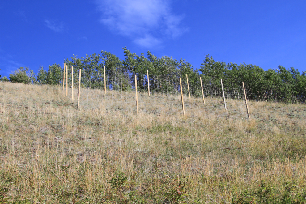
On a very steep slope above the road at about Km 96 is this pen. It was well constructed, and I have only a guess that it’s something to do with bison – perhaps just calves, as an adult could probably push through that wire.
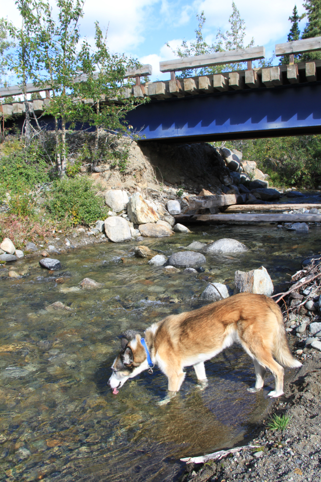
On the way back to the highway, it took me a while to find a creek that I was comfortable letting Monty drink from, as the this is beaver country.
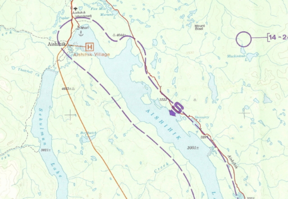
A map of Canyon and Aishihik Lakes and surrounding country – click here to see the entire enlarged map.
Although I’m glad that I finally got to see the entire road, I probably won’t be up again, even when we get an RV. Pretty country, but not really any “must-see” sites (other than the air base for people like me).