Exploring Ruby Creek and Ruby Mountain, Atlin
Sunday, September 8th was a very busy day for me at Atlin. After visiting the Pine Creek dredge and some other sites first thing in the morning, I came back into town for coffee. At about 10:20 I started another wander on foot and by car.
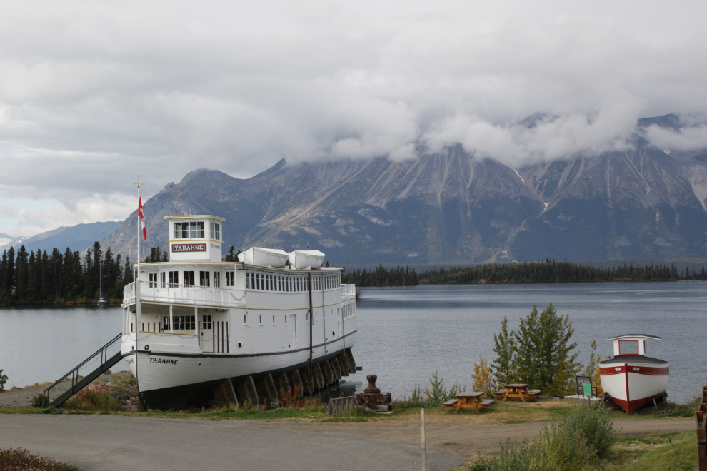
I took many photos around town, including the first one in this post, showing the old tourist boats Tarahne and Atlinto.
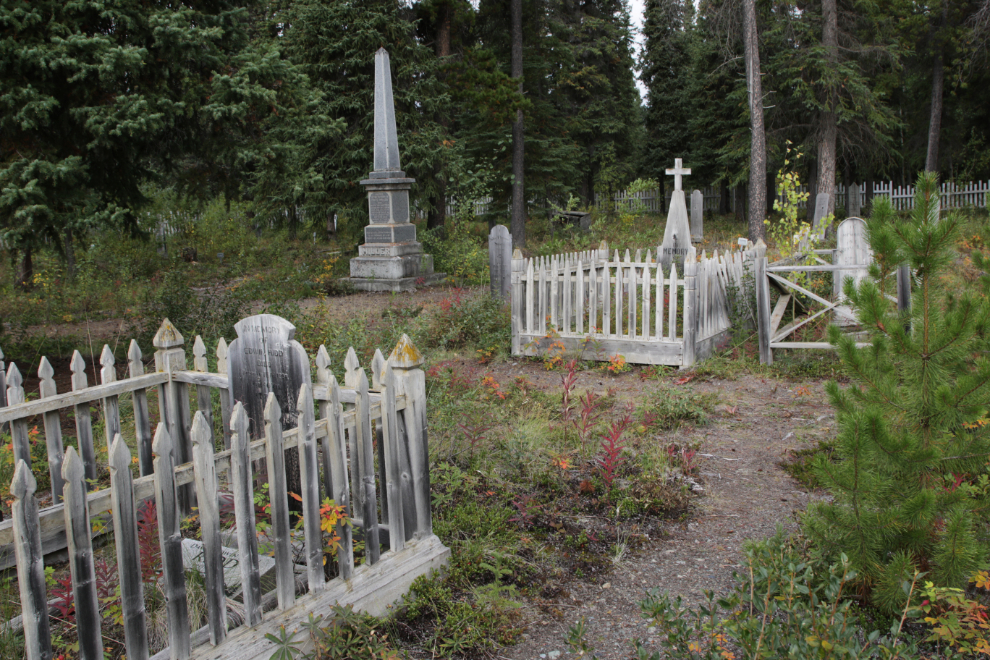
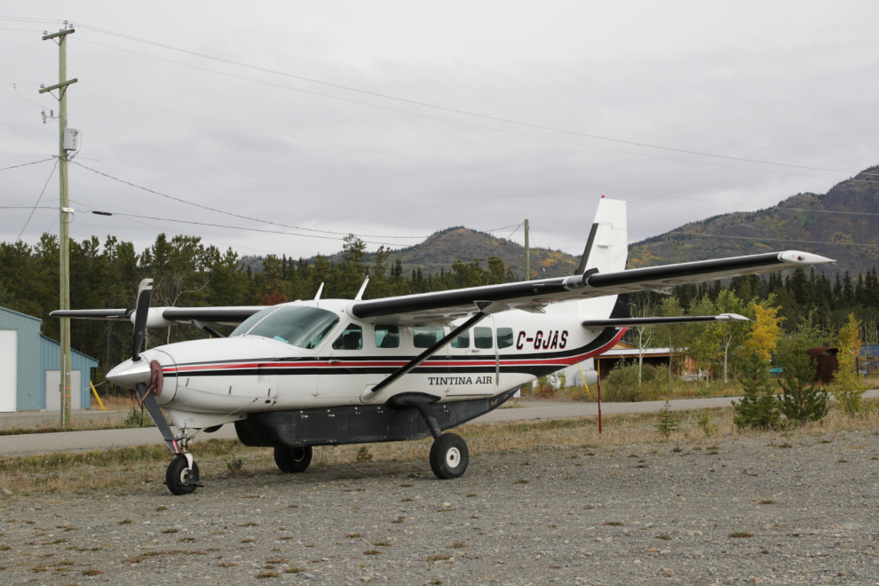
I spent some time in the yard of the Atlin Museum (where I met a lovely cat), then drove out to the Pioneer Cemetery and the airport for more photos.
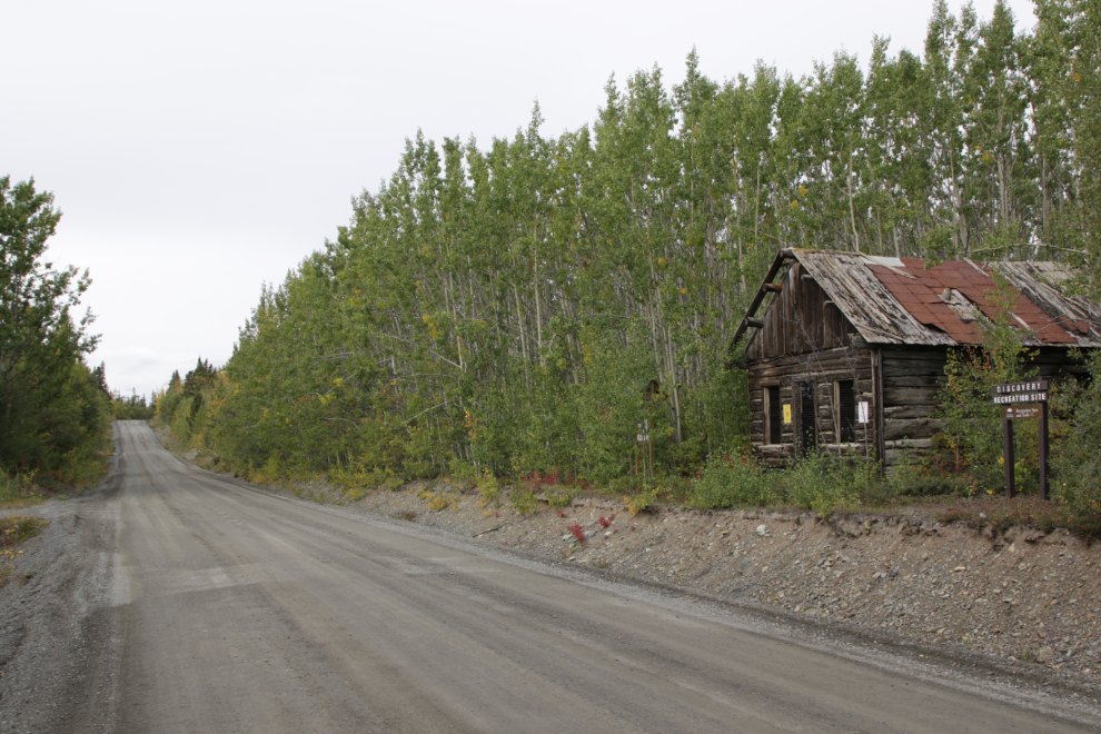
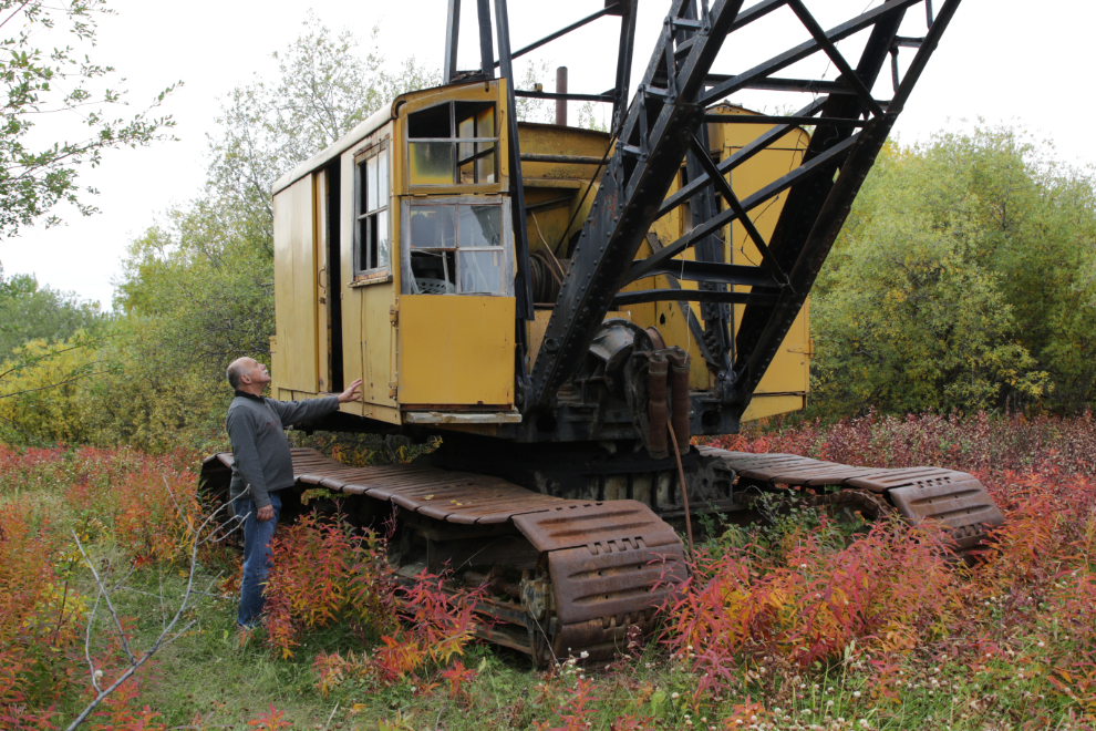
Just after 11:00 I was finally on my way to what had been my primary destination for the day, Ruby Creek. But I stopped at Discovery for a brief look and update photos.
Okay, not as brief as I thought it would be 🙂
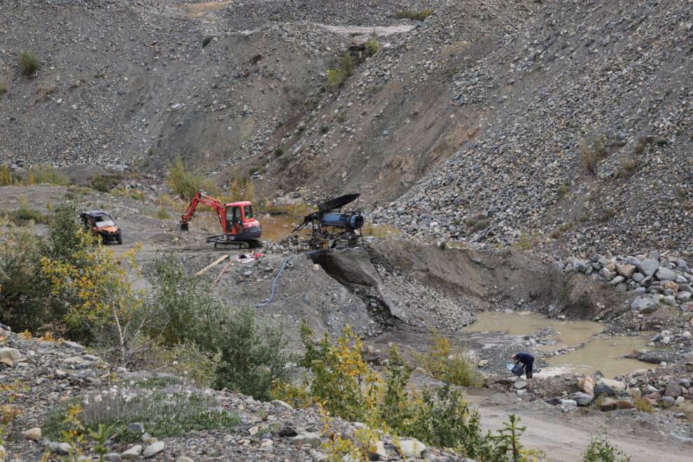
I spotted what I call a “lifestyle” placer miner working on Pine Creek, and made a U-turn to go back for some photos. Folks like this have a bit of equipment, sometimes a partner, and are happy to spend their summers picking away at the gravel of a claim they managed to buy or lease. Getting rich isn’t the aim, it’s just a nice lifestyle that perhaps even turns a small profit. My Dad did it on an even smaller scale many years ago on his claim at Spuzzum on the Fraser River, and he and I had some wonderful days there.
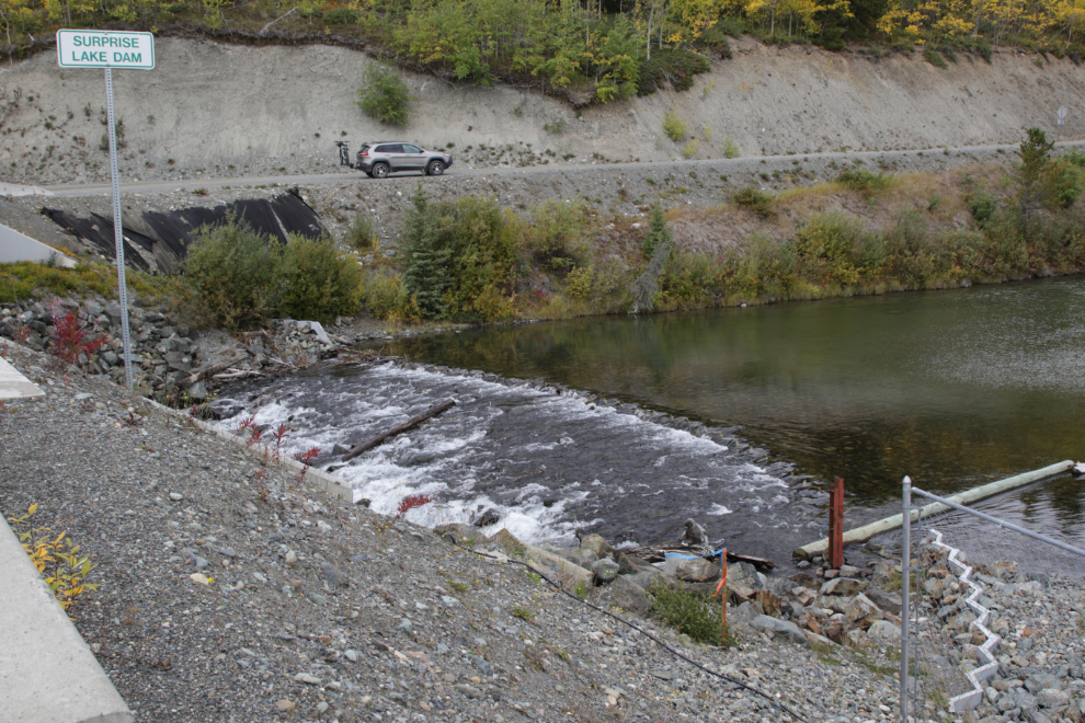
Just after noon I stopped at the Surprise Lake dam, which is just a reinforced gravel berm. The first one was constructed in 1903, but I’ve been unable to find an actual history of the various dams here, or even how tall/deep the current one is.
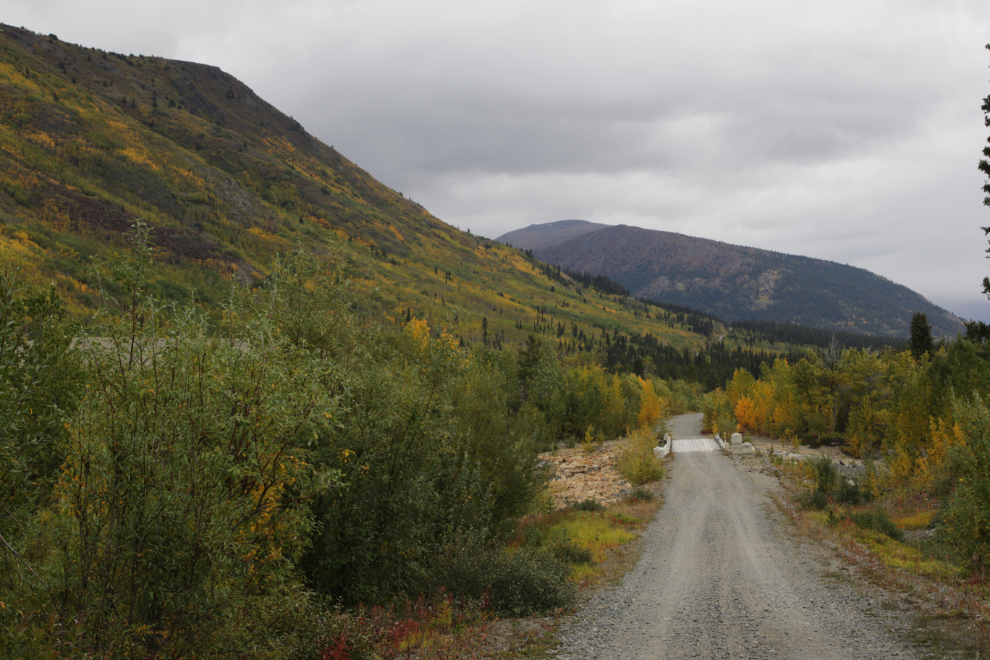
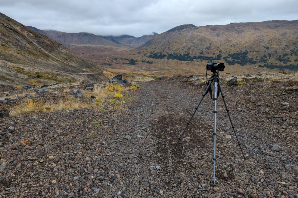
I stopped at the Boulder Creek road for a nap, and it was 1:35 when I got going up the Surprise Lake Road again. That’s the Boulder Creek bridge ahead.
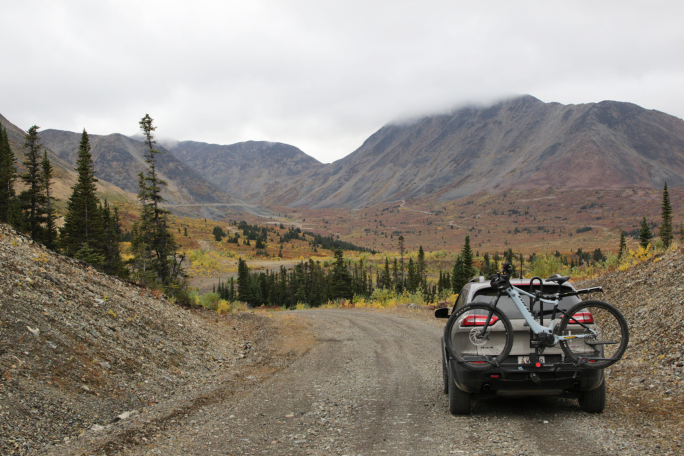
Finally starting up the Ruby Creek road at 1:47, probably about 4 hours later than I had intended when my day began 🙂
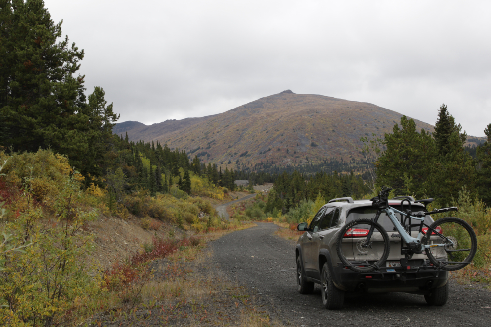
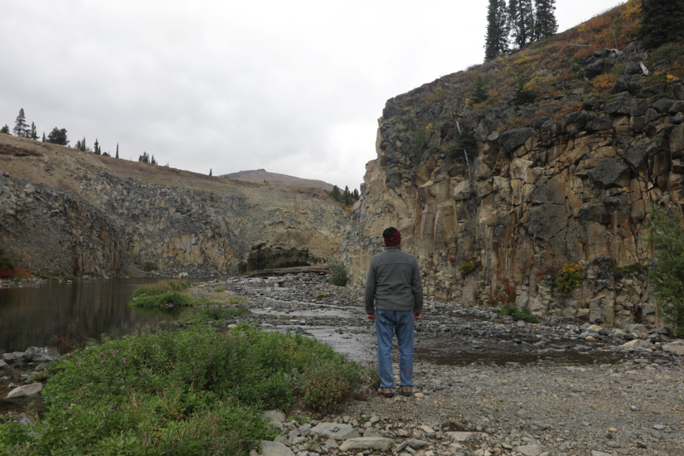
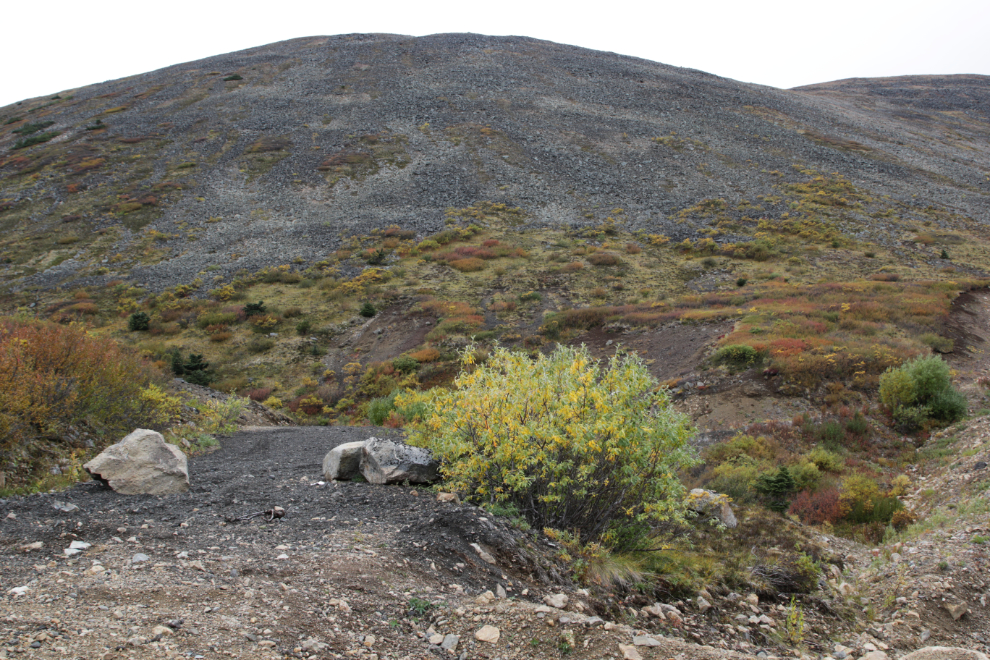
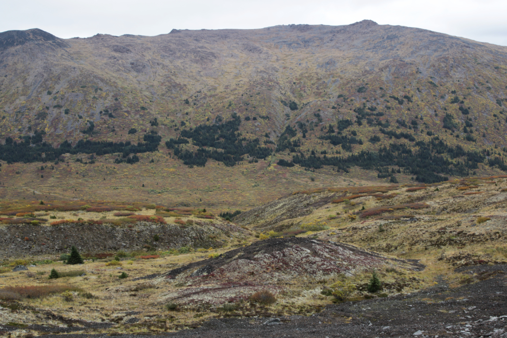
I stopped at the spot where my friend Karla and I had turned back on our rock-picking drive up here on July 21st. A side road dropping steeply down to the creek drew my attention this time, and I started walking down it, not intending to go very far. Once I saw a very interesting mining area below, however, I kept walking.
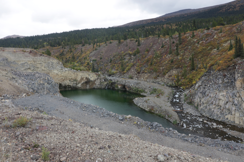
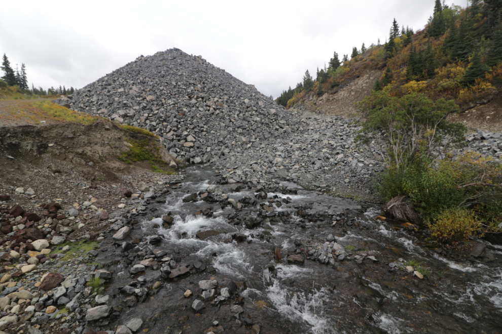
At the bottom of the road, Mother Nature had figured out a way to keep her creek flowing under that huge rock pile.
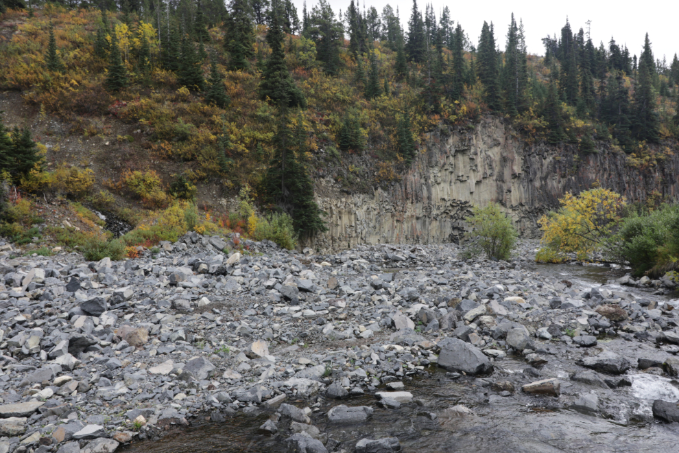
Turning to the right from that same spot, my view was of the start of a small canyon with columnar basalt walls, the basalt having come from either Ruby Mountain or the Cracker Creek cinder cone.
Walking up along the creek on another fork of the road, I managed to get around one flooded section, but got stopped here, at 2:20. I normally wear sports sandals so can just walk through such places, but it was chilly today (9°C/48°F, and a strong breeze) so I was dressed much differently than I prefer to be.
Isn’t this magnificent country? Just past this spot, a couple of old folks in a pickup flagged me down, and the guy told me there was no point continuing because they had got all the gold 🙂
He also told me there was a gate across the road a couple of kilometers ahead, installed by a company exploring for molybdenum many years ago, and for some reason still there and locked. This is at an elevation of 4,601 feet according to my inReach track.
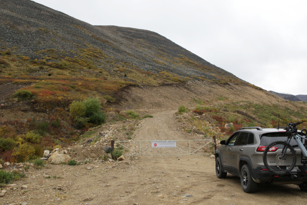
Researching yesterday, I learned that Adanac Mining & Exploration had started extensive work in this area in 1969, and sporadically worked there for almost 40 years before giving up. They cut a lot of roads over that period!
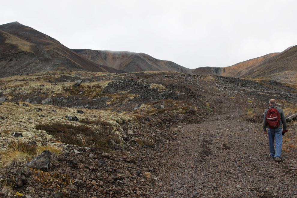
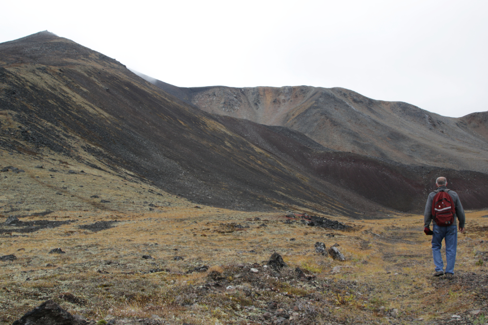
I turned around and started driving back down, but then decided to hike up for a bit so made a U-turn and parked near the gate where a road blocked from traffic is the trailhead for Ruby Mountain. At 3:04, I started up.
This is the start of the road/trail.
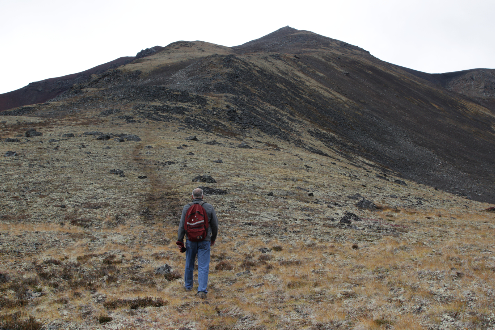
Hiking up the moderately steep road at 3:14.

I shoot “selfies” the old way 🙂
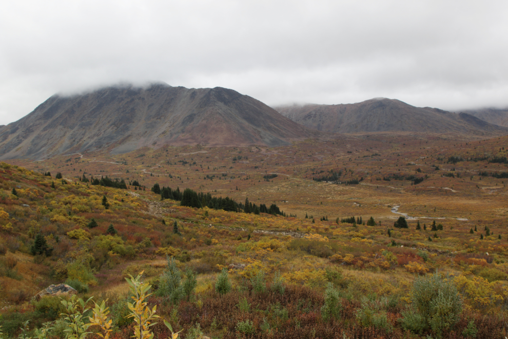
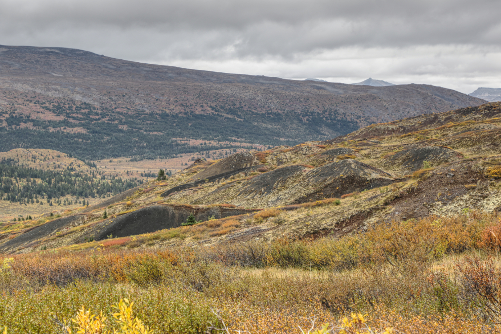
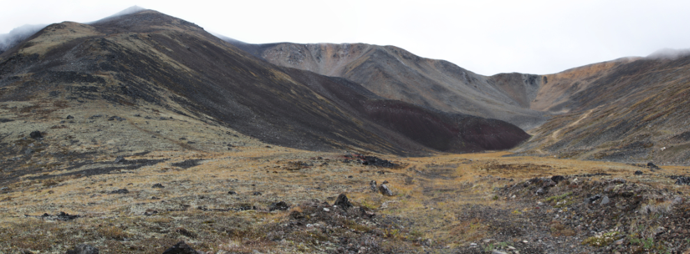
A couple of minutes later, I was looking down at a large field of multi-layered cinder cones! The dull, flat light didn’t show them well, so I’ve enhanced this photo to bring out the detail.
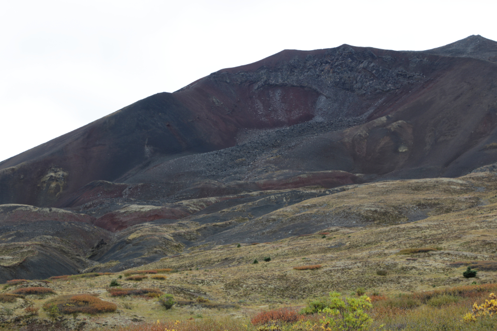
The collapsed crater of Ruby Mountain, at 1,880 meters (6,168 feet) the highest peak in the Atlin volcanic district. Although an eruption in the area was reported in 1898, the incredible stories weren’t true. The last lava flow appears to have been over 200,000 years ago, the first one about 540,000 years ago.
At 3:24 there was a near-perfect little cinder cone, perhaps 50 meters in diameter and 15 meters high, below the road.
As I got higher, some sections of the road were much steeper, and the footing was rather unstable in small, loose volcanic rock.
I’m fairly certain that I’ve never seen a good description of Ruby Mountain, or I would have come here decades ago. I was truly blown away by what I was seeing!
At 3:50, at an elevation of 5,174 feet, I met the trail up the mountain (visible on the left).
I started up the trail simply for a photo – I had no intention of going any further.
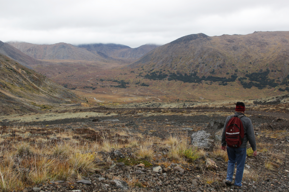
Heading back down, thoroughly pleased now with the day 🙂
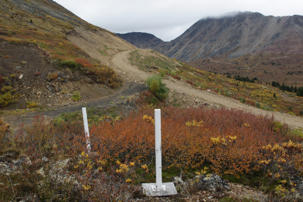
These two 4×4 posts are about 30 meters off to the side of the road/trail near the bottom. They don’t look very old, but there are no markings on them, and I have no idea what they were/are for.
The photo above was not only my final photo of the day, it was my final photo of the Atlin trip – photo #395. This had been my most productive trip to Atlin ever, but I was exhausted. I didn’t sleep very well that night, and left for home at 04:20 under a magnificent starry sky, with the Milky Way clear.
I had planned to be away in the motorhome for much of the 3 weeks Cathy is away, but the weather isn’t cooperating, and I may be shutting the rig down for the winter tomorrow – I put the furnace on low 3 days ago so the water system doesn’t freeze up.
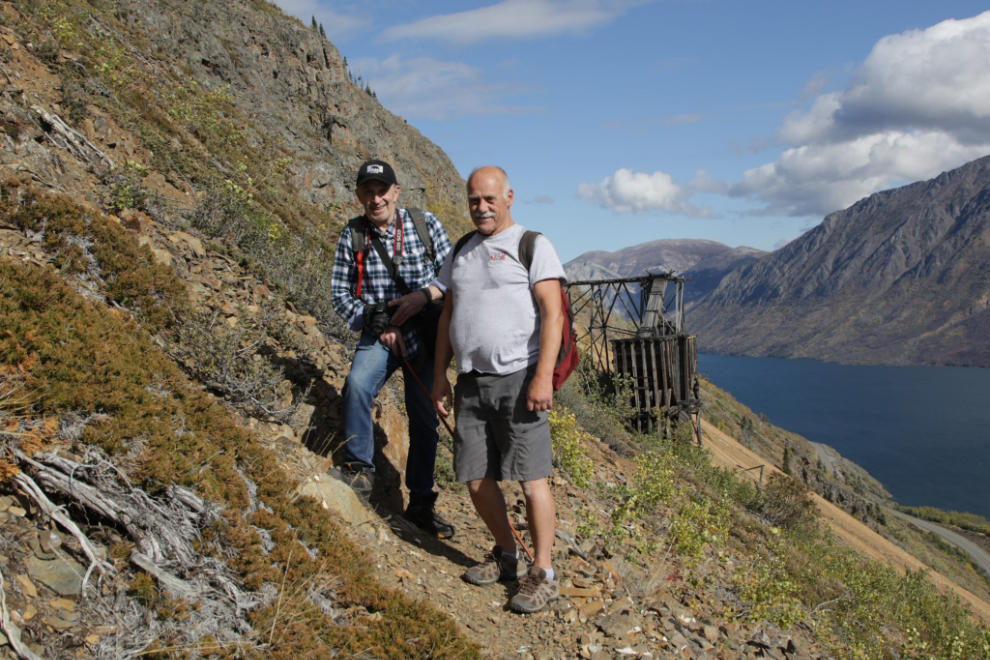
I want to show you one more photo, though, from I hike I did on September 11th but am not going to write a blog post about. My Facebook post about it says: “In the summer of 1901, Jack Stewart and Jack Pooley staked the Venus silver claim and started working to develop it. Today I had the great pleasure of guiding one of Jack Stewart’s grandsons, Del Smith of Melbourne, Australia, up to the 1906 Venus mine. Del is 75 years old, I’m a few weeks from 74.” I was honoured to be able to facilitate this bucket-list experience for Del.
Your seemingly bottomless well of interests for all things Yukon (and many other northern journeys you have shared with us) comes out so well in your spare narration, excellent eye for vistas and details of interest. The photos now on this post, I have enjoyed 3x, each on a subsequently larger PC monitor… Love that ‘big sky’ look that you captured so well. As always, thank you for inviting us along on your excellent little adventures.