Exploring lower Cowley Creek at Whitehorse
Treasure the journey. Unlike destinations, each journey is unique. I did a challenging mostly-offtrail hike close to home yesterday that this post is about. It was definitely unique – if someone asked me to do a hike like that I would tell them they’re nuts.
I’ll start with the map from my Strava page, where you can see details. That’s the Alaska Highway running across the lower part of the image, and to show you how convenient this is for me, I live at the red “X”.

I started at the Yukon Radio Control Modellers club airfield, where this cool little windmill has replaced the conventional but tattered windsock. The fine-gravel runway is to the left. Some incredibly disrespectful ATV riders have torn up the runway quite badly (as has happened at the Cousins airfield north of town) – wtaf is wrong with the brains of those people? There is a whole lot of effort and money going into operating these fields.

A well-used trail drops steeply from the airfield, takes you through a forest, and then onto a dry ridge that wanders along the Cowley Creek valley.

When that ridge curved to the east I knew where it was going but continued in the hope that there would be a trail, or at least a clear route, down the very steep slope. That never happened, and when I reached a trail that I use fairly regularly, I turned back. That lengthy dead-end shows clearly on the map above.

There’s a whole lot of very steep terrain along lower Cowley Creek. This mossy slope registers as 46% on the route profile, but after a bit of searching for the best route, it was where I needed to carefully descend to the creek.

UGH! The amount of blowdown makes travel here difficult and treacherous. If you slipped and fell on a broken branch, your adventuring days could be over. That thought was reinforced in a big way when I slipped but missed any broken branches.
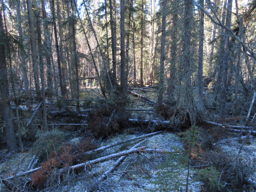
Okay, there we go – Cowley Creek. The plan – or hope – was to hike down it to where it joins Wolf Creek.

The creek unfortunately goes into a huge marsh (which I knew from the aerials) that I eventually had to give up on getting across or around by that route. To the west was the forest that I knew was possible.

I hiked back up the creek to a place where I could see the bottom and the banks were reasonably navigable, and went across in the only manner possible.

This is how chilly that crossing was!

I came to a very faint trail that offered some stretches of decent walking and occasionally some wonderful views across the marsh.

About 25 minutes from the creek crossing I came to this surprising feature. It’s certainly man-made and very old. At this point I think it’s connected in some way to the Wolf Creek gold rush of 1913, though the main sites of interest then were far upstream on the adjacent creek.
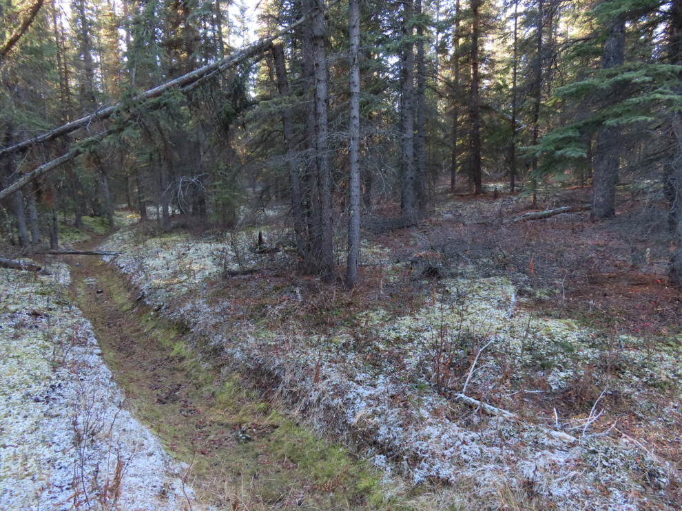
There are also some very old survey cutlines.

And then 35 minutes from crossing Cowley Creek, I reached Wolf Creek. Although this isn’t where I wanted to be, time and my energy level both indicated this was a good place to be – the hiking had been more difficult than expected and it was time to point my horse toward home.

Deadfalls along Wolf Creek were still very bad (that can be seen everywhere along the Wolf Creek Campground trail network) and the faint trail had vanished long ago.

As I had rather expected, a little-used trail led from the valley bottom to the Spruce Hill country residential subdivision, which was the shortest route back to my car.

Here’s the route profile from my Strava page, with that hill noted as being a 40% grade.

This is where the difficult part of yesterday’s hike ended. The vast majority of residents of and visitors to Whitehorse will never really understand what makes the community “The Wilderness City” but that’s okay – that makes it even more special to those of us who do.
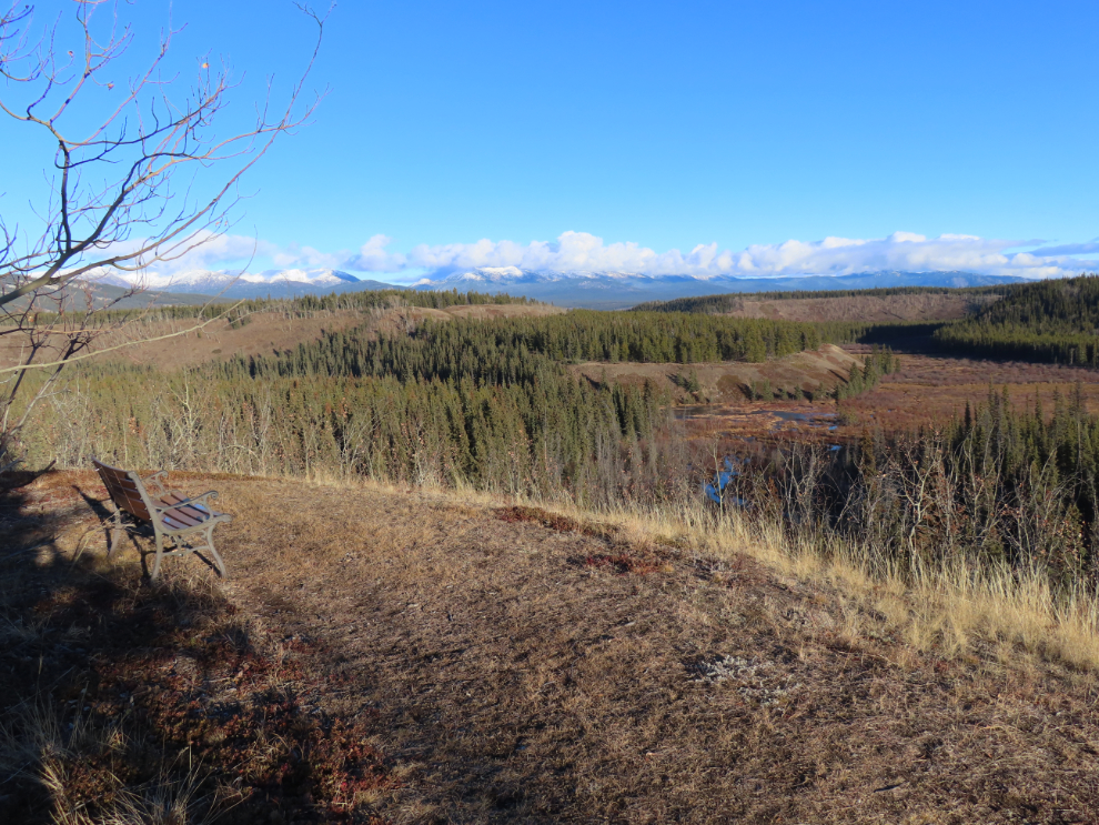
And that was pretty much the end of the hike except for the slog back to the car. When I got home I was exhausted. Cathy had pizza ready a few minutes later, then I went to the hot tub and to bed. My Garmin shows a very high stress level during my sleep, until 03:00, but then it was okay. It’s now almost noon as I finish this post. My walking today will probably be on sidewalks or paved trails.

About The Author
